The best hikes from bus stations around Mâcon
4.5
(2643)
14,506
hikers
419
hikes
Bus station hiking trails around Mâcon offer access to a varied landscape in Burgundy, characterized by rolling vineyards, gentle hills, and significant limestone escarpments. The region features the Saône River, providing accessible riverbank paths, alongside dense forests and the prominent Roche de Solutré and Roche de Vergisson. These natural features create diverse terrain suitable for various hiking experiences.
Best bus station hiking trails around Mâcon
- The most popular bus station hiking route is Montagne de Saint-Cyr Loop from Matour,…
Last updated: July 2, 2026
4.0
(1)
3
hikers
16.2km
04:55
530m
530m
Hike the moderate 10.1-mile Montagne de Saint-Cyr loop from Matour for panoramic views and diverse forest and meadow terrain.
4.4
(14)
46
hikers
7.96km
02:11
120m
120m
Moderate hike. Good fitness required. Easily-accessible paths. Suitable for all skill levels.

Sign up for free
4.9
(8)
62
hikers
15.9km
05:03
610m
610m
Hard hike. Very good fitness required. Mostly accessible paths. Sure-footedness required.
4.7
(13)
56
hikers
4.29km
01:10
70m
60m
Easy hike. Great for any fitness level. Easily-accessible paths. Suitable for all skill levels.
4.7
(3)
51
hikers
15.4km
04:45
540m
540m
Moderate hike. Good fitness required. Mostly accessible paths. Sure-footedness required.
Get access to more routes and recommendations from other explorers.
Sign up for free
Already have an account?
Our route recommendations are based on thousands of hikes, rides, and runs completed by other people on komoot.
Start today with a free account
Your next adventure awaits.
Login or Signup
Popular around Mâcon

Hikes from bus stations around Forêt Domaniale de Chapaize
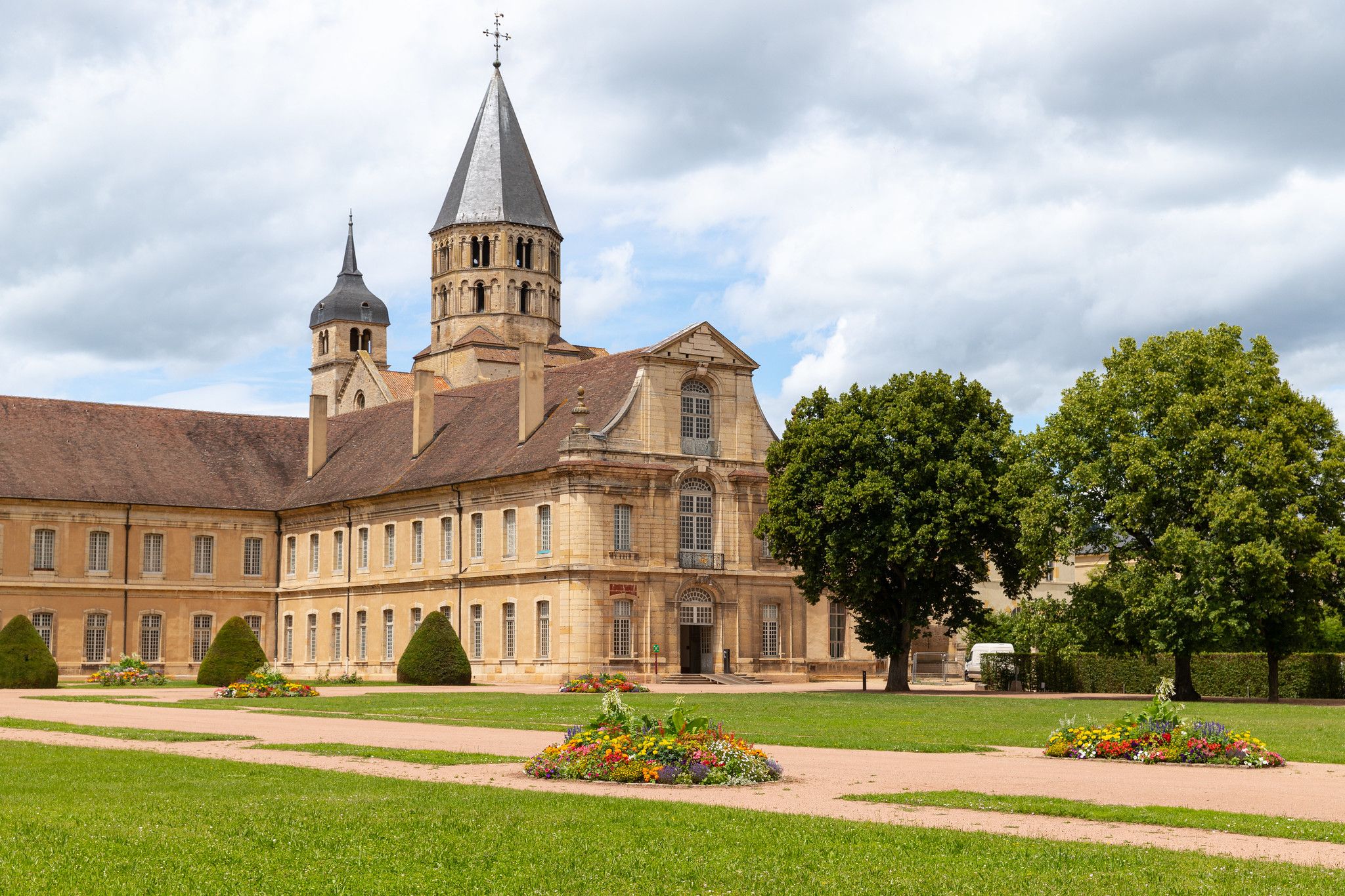
Via Cluny – From the Jura Mountains to Burgundy
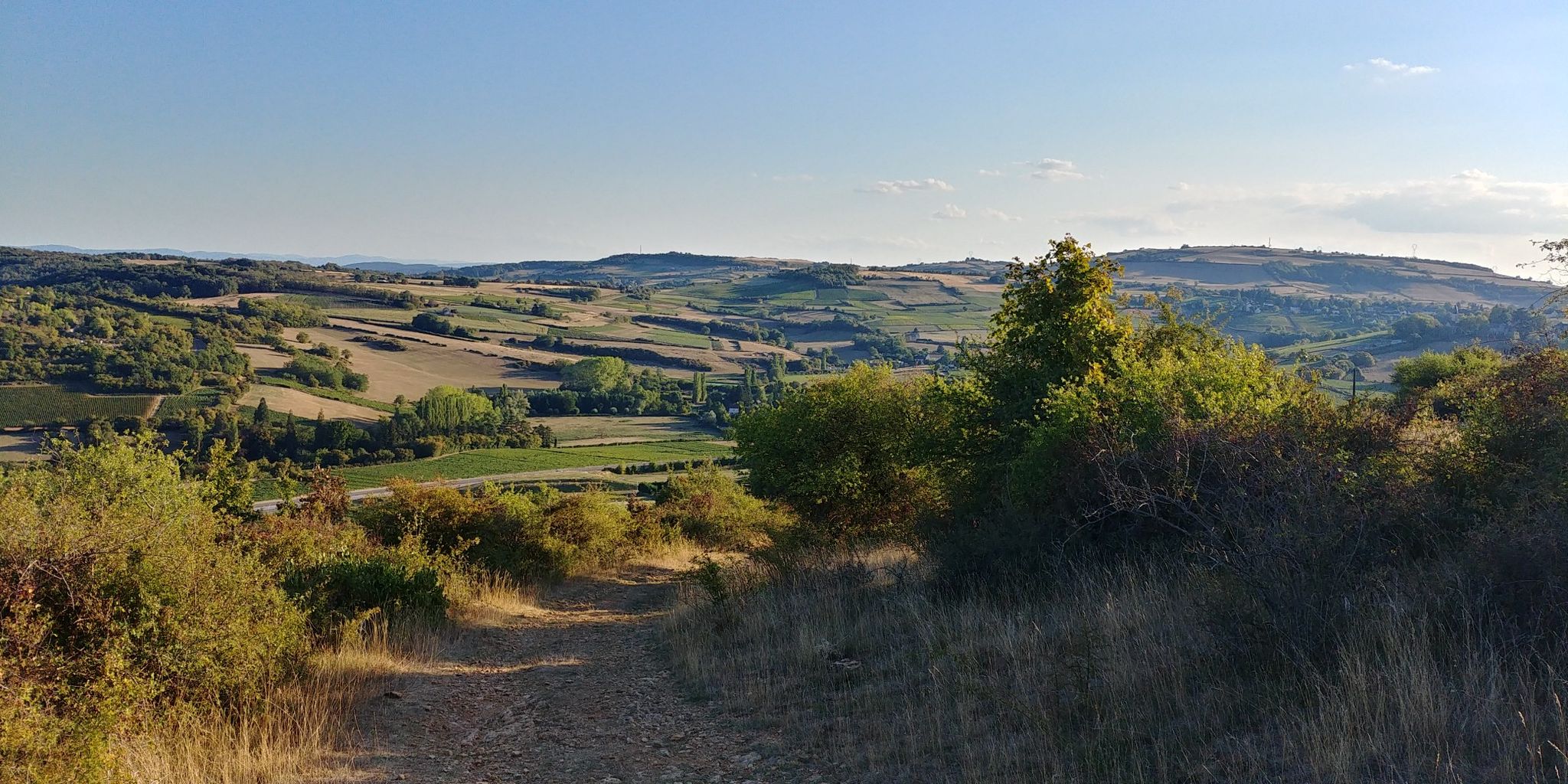
The gentle hills of France’s Beaujolais region — GR 76
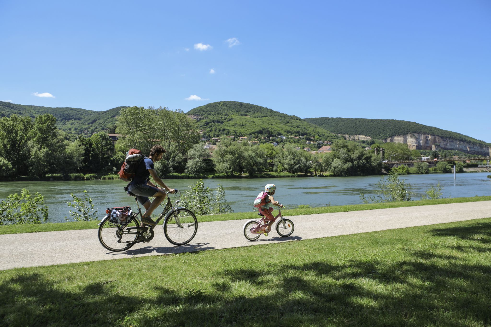
The Voie Bleue – Moselle-Saône by bike
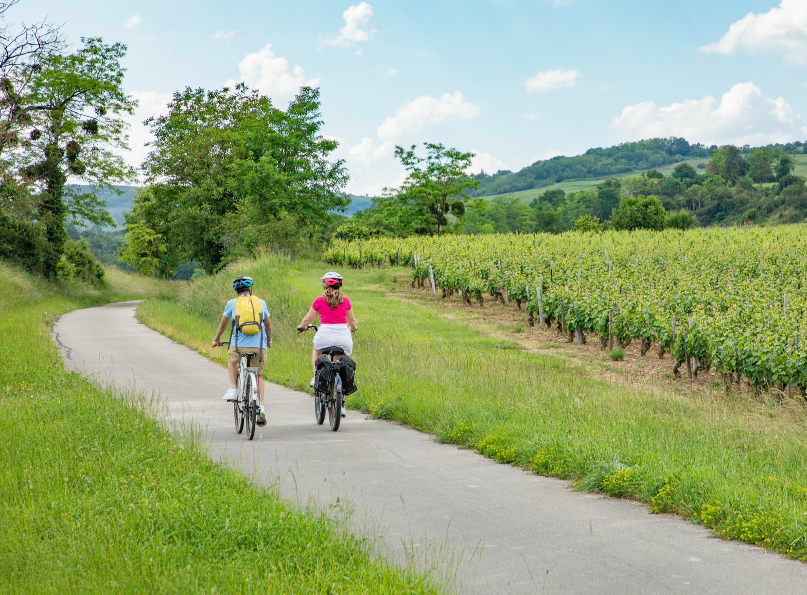
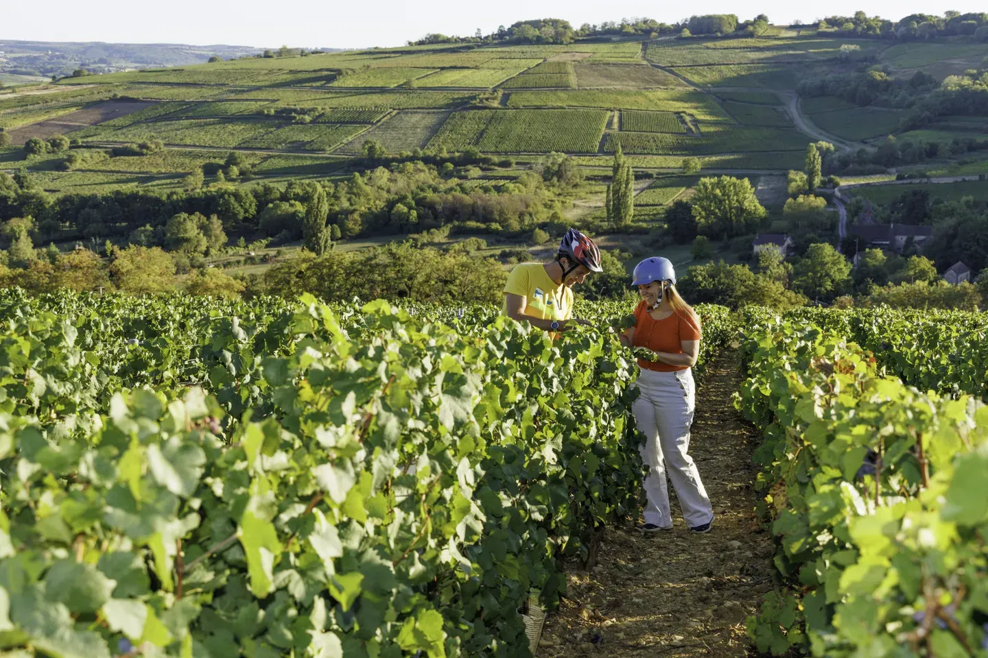
Les Vélœno71 – discover the grape varieties of Saône-et-Loire
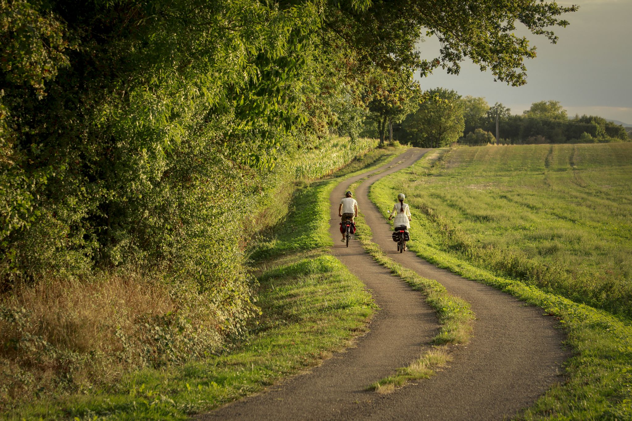
The CycloRoute71 — cycling around the Saône-et-Loire
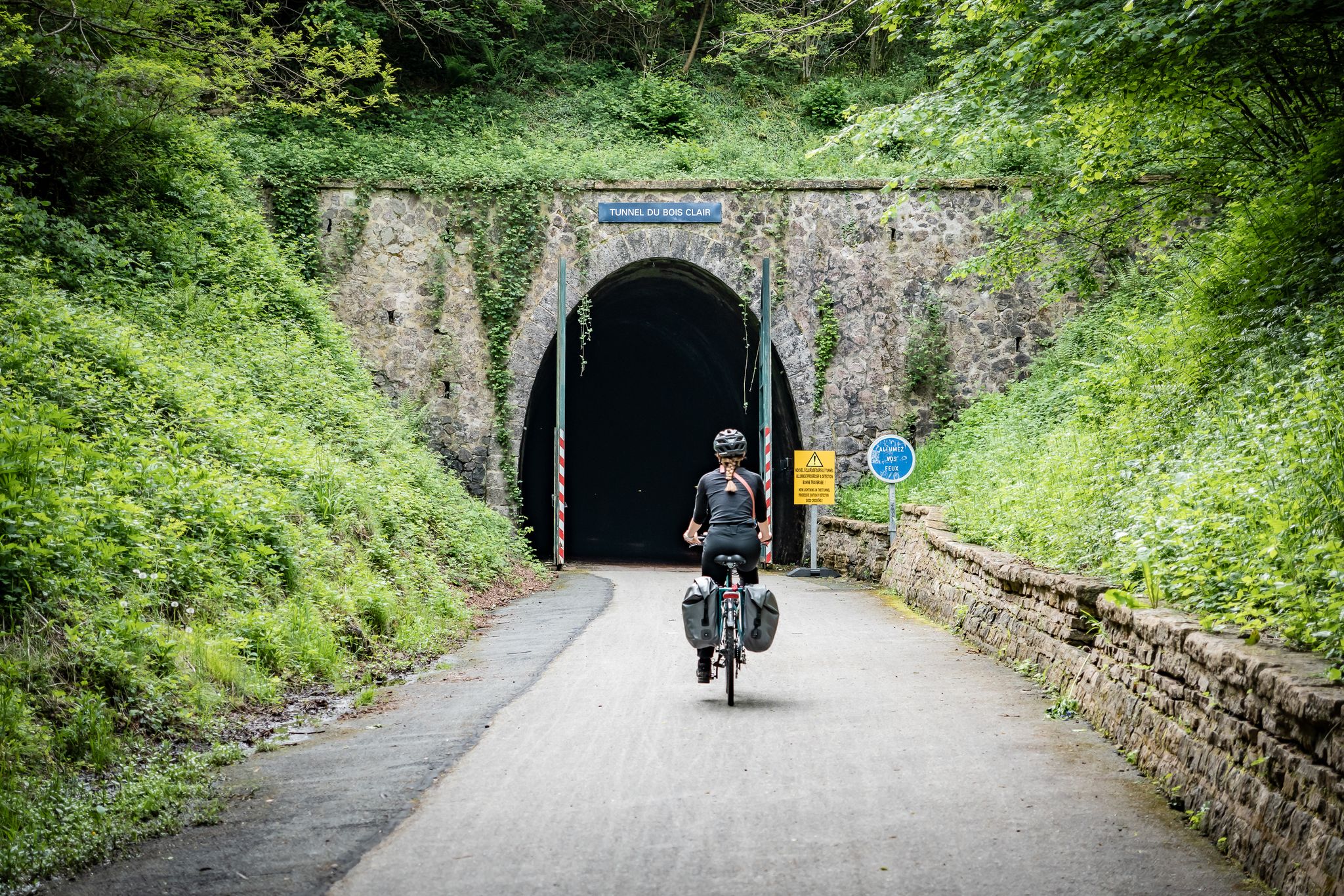
La Boucle de Bourgogne du Sud — The Cult route
Le Grand Tour du Chalonnais à pied
Le Grand Tour du Chalonnais à vélo
Other adventures around Mâcon


Tips from the Community

A mill operation (Moulin) at this location can be traced documentarily back to the year 1377. After a decline after the Second World War, the facility was extensively restored in the 1950s and 1960s, as well as more recently. The wash house (Lavoir) directly on the water was formerly used by the women of the village to wash clothes and cloths in the river. The typically flat concrete or stone edge at the basin rim offered space for scrubbing and wringing out the laundry.
0
0
The Solutré Rock is a world-famous, 493-meter-high limestone cliff in the south of the Burgundy region. It is situated amidst the picturesque vineyards of the municipality of Solutré-Pouilly. The region is officially designated as a Grand Site de France. The hike to the summit is easy to moderate and well-suited for families. It takes about 1 hour for the entire circular route (approx. 4 kilometers round trip). The elevation gain is around 100 to 140 meters from the official parking lot, on well-maintained paths with information panels, although there are many steps.
0
0
The Rock of Solutré is a world-famous, 493-meter-high limestone cliff in the south of the Burgundy region. It is located amidst the picturesque vineyards of the municipality of Solutré-Pouilly. The region is officially designated as a Grand Site de France. The hike to the summit is easy to moderate and very doable for families. It takes about 1 hour for the entire circular route (approx. 4 kilometers round trip). The elevation gain is around 100 to 140 meters from the official parking lot on well-maintained paths with information boards, although there are many steps.
0
0
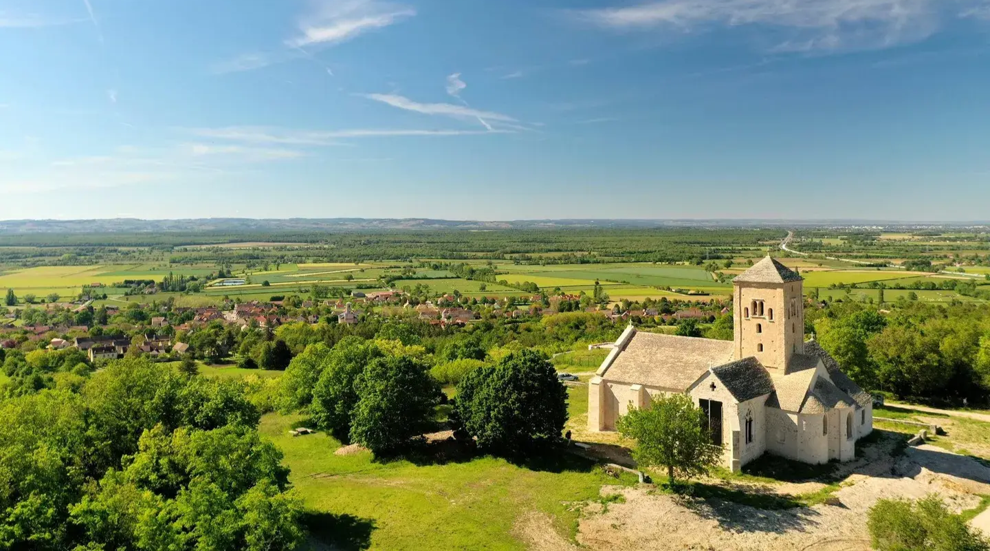
It is a remarkable Romanesque church from the late 11th or early 12th century. It is strongly influenced by the architecture of the famous school of Tournus. The building was once the church of a Cluniac deanery. The powerful, medieval residence of the former dean adjoins the church building directly. The church has also been protected as a Monument historique (historic monument) since 1926.
0
0
Mont Saint-Cyr is located in southern Burgundy (Saône-et-Loire department) in the municipality of Montmelard and, at 771 meters, is the highest point of the Mâconnais mountains. From the summit, there is a wide panoramic view of the surrounding landscapes of Charolais, Brionnais, and Clunisois. In very clear weather, the view extends eastwards to Mont Blanc in the Alps. On the mountain are the historical remains of a 10th-century monastery, which was destroyed during the Huguenot Wars. There is a picnic area in the forest as well as orientation panels that are helpful in identifying the surrounding peaks and valleys.
0
0
The historic Romanesque parish church of the municipality of Ameugny. The first documented mention dates from the year 1050, with the Romanesque west portal visible today having been built in the 12th century. A typically Burgundian hall church with three bays and a pointed barrel vault, which appears very massive and is covered with lava stones. The tympanum above the portal shows a cross in a circle and bears the rare signature of the sculptor Seguin. The church has been a listed historic monument since October 22, 1913.
1
0
Frequently Asked Questions
How many hiking trails are accessible from bus stations around Mâcon?
The Mâcon region offers a wide network of hiking trails, with over 390 routes accessible from various bus stations. These routes cater to different preferences, ranging from easy strolls to more challenging treks through diverse landscapes.
What kind of landscapes can I expect on bus-accessible hikes in the Mâcon region?
Hiking from Mâcon's bus stations allows you to explore a rich variety of landscapes. You'll find picturesque rolling vineyards, gentle hills, and routes along the scenic Saône River. The region is also known for its prominent limestone escarpments like the Roche de Solutré and Vergisson Rock, offering panoramic views, as well as dense forests.
What is the general difficulty level of bus-accessible hikes near Mâcon?
The trails accessible by bus from Mâcon offer a good mix of difficulties. You'll find over 100 easy routes perfect for a relaxed outing, more than 250 moderate trails for those seeking a bit more challenge, and around 30 difficult options for experienced hikers looking for a strenuous adventure.
Are there any notable landmarks or viewpoints along bus-accessible hiking trails near Mâcon?
Absolutely. Many trails lead to or pass by significant landmarks. You can hike to the iconic Roche de Solutré and Vergisson Rock, which offer breathtaking panoramic views over the Mâconnais vineyards. Other points of interest include Mount Pouilly and the historic Cormatin Castle.
Are there family-friendly hiking routes accessible by bus from Mâcon?
Yes, the region offers several family-friendly options. Many of the easy and moderate trails are suitable for families. For example, the Taizé Community – Sainte-Marie-Madeleine Church loop from Ameugny is a moderate route that offers a pleasant walk through the countryside, suitable for those looking for a gentle exploration.
Can I find circular hiking routes that start and end at a bus stop?
Many of the routes in the Mâcon area are designed as circular loops, making them convenient for public transport users. This allows you to start and finish your hike at the same bus stop without needing to arrange return transport. An example is the Leynes – Les 2 roches loop from Leynes, which offers a scenic circular experience.
What do other hikers enjoy the most about hiking in Mâcon?
The komoot community highly rates the hiking experience around Mâcon, with an average score of 4.5 stars. Reviewers often praise the stunning vineyard landscapes, the well-maintained trails, and the spectacular panoramic views from the limestone escarpments. The accessibility of many routes via public transport is also a frequently appreciated aspect.
Are there any hikes accessible by bus that offer views of the famous Roche de Solutré?
Yes, several bus-accessible routes provide excellent views of the iconic Roche de Solutré. The Mount Pouilly – View of La Roche de Solutré loop from Davayé is a moderate trail specifically designed to offer impressive vistas of this natural monument.
What is the best time of year to go hiking from Mâcon's bus stations?
The Mâcon region is beautiful year-round, but spring (April-June) and autumn (September-October) are particularly popular for hiking. During these seasons, the weather is generally mild, and the landscapes are vibrant with blooming flowers or rich autumn colors in the vineyards. Summer can be warm, so early morning or late afternoon hikes are recommended, while winter offers a quieter, often crisp experience.
Are there any longer, more challenging hikes accessible by bus from Mâcon?
For those seeking a more challenging experience, there are indeed longer routes accessible by bus. The Montagne de Saint-Cyr Loop from Matour is a moderate to difficult hike covering over 16 km with significant elevation gain, offering a rewarding trek through forested mountain slopes.
Can I find trails that combine natural beauty with historical sites when using public transport from Mâcon?
Yes, the Mâconnais region is rich in history. While not directly listed in the provided routes, the region research indicates routes that combine natural beauty with historical exploration, such as those leading to the medieval village of Brancion or Saint-Gengoux-le-National. You can often find bus connections to these charming villages and explore their surroundings on foot.
Most popular routes around Mâcon
Most popular attractions around Mâcon

Get inspired with the komoot mobile app


Didn’t find what you were looking for?
Check out more Hikes throughout Mâcon below and find the perfect route in your destination.
Explore more
Browse the best Hikes in other regions.
