The best traffic-free bike rides around Frontera
4.4
(65)
413
riders
7
rides
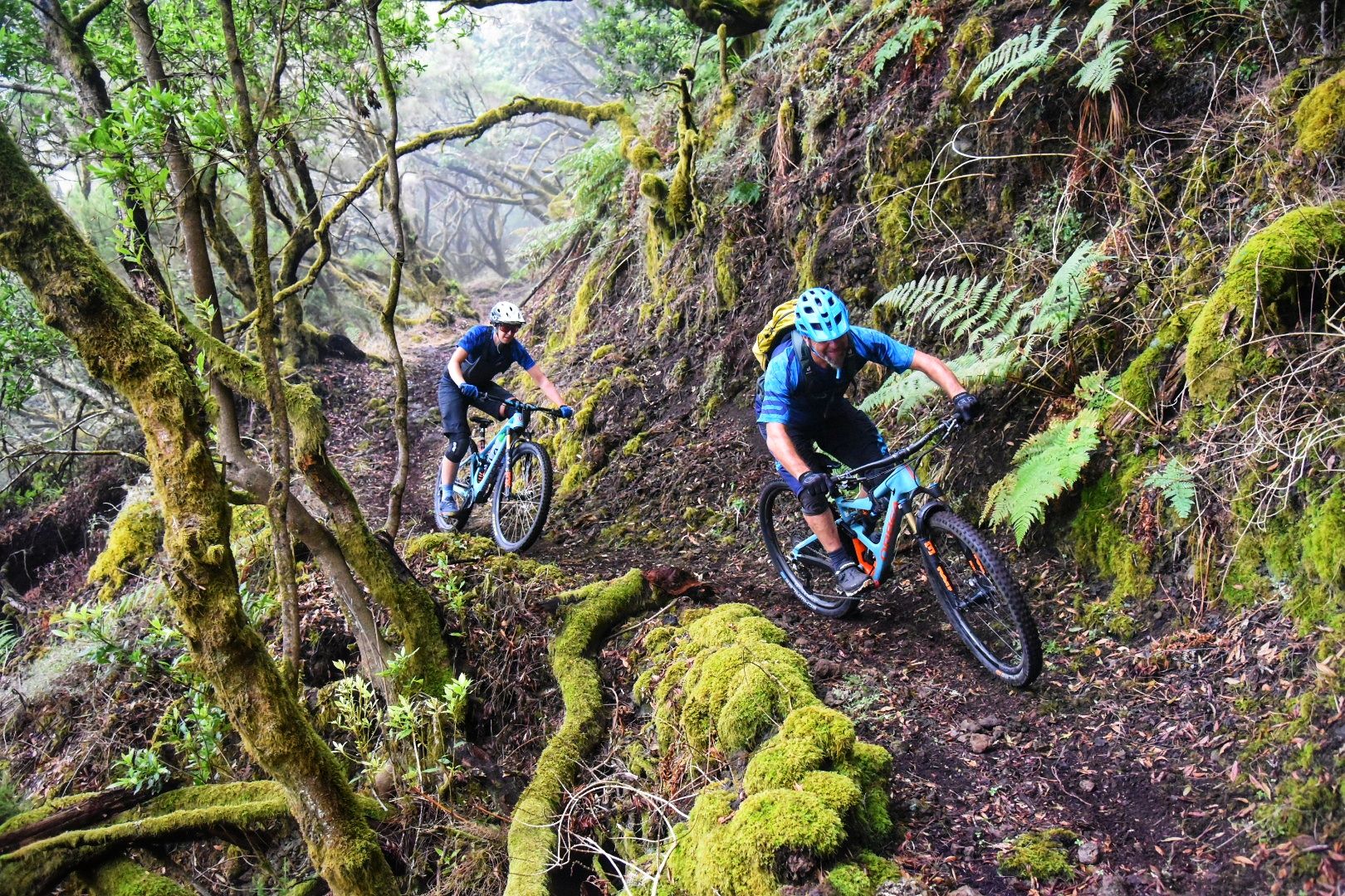
Touring cycling around Frontera, located on the volcanic island of El Hierro, offers routes through diverse and rugged landscapes. The region is characterized by dramatic coastal cliffs, dense laurisilva forests, and unique volcanic terrain. Cyclists can expect significant elevation changes, with trails ascending through hills and offering panoramic views of the Atlantic Ocean. The routes provide an opportunity to explore the island's natural beauty on quiet roads and paths.
Best no traffic touring cycling routes around Frontera
- The most popular…
Last updated: July 16, 2026
4.7
(3)
7
riders
Hard bike ride. Very good fitness required. Mostly paved surfaces. Suitable for all skill levels.
1
riders
61.5km
04:52
1,550m
1,550m
This difficult 38.2-mile touring cycling route from Punta la Dehesa to Mirador El Julán offers panoramic views and volcanic landscapes.

Sign up for free
4.8
(6)
34
riders
36.9km
02:22
460m
460m
Hard bike ride. Very good fitness required. Mostly paved surfaces. Suitable for all skill levels.
4.8
(4)
17
riders
Hard bike ride. Very good fitness required. Mostly paved surfaces. Suitable for all skill levels.
4.0
(2)
10
riders
36.5km
02:36
730m
730m
Hard bike ride. Very good fitness required. Mostly paved surfaces. Suitable for all skill levels.
Get access to more routes and recommendations from other explorers.
Sign up for free
Already have an account?
Our route recommendations are based on thousands of hikes, rides, and runs completed by other people on komoot.
Start today with a free account
Your next adventure awaits.
Login or Signup

Other adventures around Frontera


Tips from the Community

Not all areas are suitable for swimming at all times.
0
0

For centuries, people didn't come here for the landscape. They came for the water. Legend has it that the mineral waters that spring up in this corner of western El Hierro had healing properties and that many people traveled long distances to drink them or bathe in them. Thus, the name Pozo de la Salud was born. Today the place still has something special. Between the cliffs, the ocean, and the isolation of this part of the island, it's hard to imagine a more remote place to find a spring that would become one of the best-known spots on El Hierro. Some come looking for the spa, others for the sunset or the views over the Golfo. What many discover is a hard-to-explain feeling: that of being at the edge of an island that seems to end right here, between rock, sea, and silence.
0
0
La Dehesa is not simply a field with cows. It is one of the most important historical territories of El Hierro and for centuries has been used communally by the island's inhabitants. While much of Europe divided land among owners, here a huge shared space for grazing was maintained. Generations of shepherds from El Hierro with sheep, goats, cows, and horses have passed through these plains. The wind, the fog, and the isolation have shaped both the landscape and the way of life of those who worked here. Very close by is also the Sanctuary of the Virgen de los Reyes, the patron saint of El Hierro. Every four years, the famous Bajada de la Virgen is celebrated, one of the most important traditions in the Canary Islands. The image travels around the island accompanied by thousands of people, following paths that precisely cross part of La Dehesa. The curious thing is the contrast: on one side appear the junipers twisted by the wind and the pastures; on the other, the lava fields that fall towards the Atlantic. Few places show the two souls of El Hierro so well: the volcanic and the pastoral.
1
0
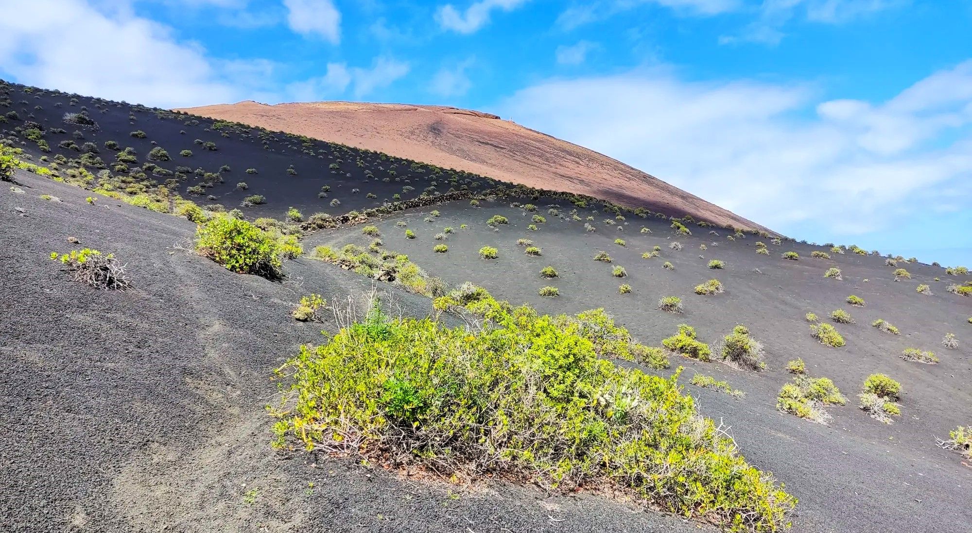
The landscape that extends towards Punta de la Sal is formed by ancient lava flows that descended from the eruptive centers in the west of El Hierro. Although many of these eruptions are prehistoric and do not have an exact known date, they were what built much of this coast. What today appears as an immense expanse of black rock was once lava slowly advancing towards the Atlantic. Erosion has done the rest, creating one of the most spectacular and best-preserved volcanic landscapes in the Canary Islands.
1
0
Very close to the Mirador de Lomo Negro is El Sabinar, probably the most emblematic landscape of El Hierro. Here grow the famous "sabinas" (juniper trees), trees shaped for decades by the trade winds into twisted forms that seem impossible. The curious thing is that none are twisted by chance. The constant wind has slowly bent the trunks over generations, creating one of the most spectacular examples of nature's adaptation in the Canary Islands. The area also has a very special atmosphere: low fog, open pastures, stone walls, free-roaming livestock, and enormous views towards the Atlantic. There are days when it looks more like Ireland or Scotland than a volcanic island. It is one of those places where it is worth getting off your bike, walking for a few minutes, and simply observing. The sabinas have been resisting for centuries the exact same wind that is hitting your face at that moment.
0
0

The Cueva del Caracol was once the first chapel of the Virgen de Los Reyes.
0
0
“El Pastor”: a statue in honor of the shepherds.
0
0

The chapel of the island's patron saint. She is said to have provided rainwater during droughts.
0
0
Frequently Asked Questions
How many no traffic touring cycling routes are available in Frontera?
There are 4 dedicated no traffic touring cycling routes available in Frontera. These routes are designed to offer serene rides away from vehicular traffic, allowing you to fully immerse yourself in the island's natural beauty.
What is the general difficulty level of no traffic touring cycling routes in Frontera?
The no traffic touring cycling routes in Frontera are generally challenging. Out of the 4 available routes, 3 are rated as 'difficult' and 1 is rated as 'moderate'. This indicates that most routes involve significant elevation changes and require a good level of fitness. For example, the Malpaso and El Sabinar Loop Trail is a difficult route covering over 61 km with 1547 meters of elevation gain.
What do other touring cyclists think about the no traffic routes in Frontera?
The no traffic touring cycling routes in Frontera are highly regarded by the komoot community. They have an excellent average rating of 4.6 out of 5 stars from 29 reviews. Cyclists often praise the stunning landscapes, the quiet roads, and the rewarding challenge of the climbs.
Are there any circular no traffic touring cycling routes in Frontera?
Yes, several no traffic touring cycling routes in Frontera are designed as loops, allowing you to start and end at the same point. Examples include the Malpaso and El Sabinar Loop Trail, the Pineapple Plantation loop from Frontera, and the Bar El Pueblo – El Julán Viewpoint loop from Cercados Viejos.
What natural features or landmarks can I see along these routes?
Frontera's no traffic routes offer access to spectacular natural features and viewpoints. You can experience the island's unique volcanic landscapes, lush forests, and dramatic coastlines. Notable highlights include Malpaso Peak, the highest point on El Hierro, and various stunning viewpoints like Jinama Viewpoint and La Peña Viewpoint. The routes also pass by unique geological formations such as Tosca Arch and offer glimpses of the rugged coastline at Cala de Tacorón.
Are there any historical sites or cultural attractions near the no traffic cycling routes?
Yes, you can combine your cycling adventure with visits to interesting historical and cultural sites. The Guinea Ecomuseum and Lizardarium is a notable attraction, offering insights into the island's unique ecosystem and history, including the conservation of the giant lizard of El Hierro. Some routes might also pass through traditional villages, providing a glimpse into local life.
What is the best season for no traffic touring bike tours in Frontera?
Frontera, being part of the Canary Islands, enjoys a mild climate year-round, making it suitable for touring cycling in most seasons. However, the spring (March to May) and autumn (September to November) months are often considered ideal, offering pleasant temperatures and less chance of extreme weather, which is perfect for tackling the challenging terrain.
Are there any easy no traffic touring bike trails for beginners in Frontera?
While most routes in Frontera are rated 'difficult', there is one 'moderate' option: the Pineapple Plantation loop from Frontera. This route is shorter and has less elevation gain compared to the others, making it a more accessible choice for beginners or those looking for a less strenuous ride while still enjoying traffic-free paths.
Where can I find parking for these car-free bike routes in Frontera?
Parking availability varies depending on the specific starting point of each route. For routes originating in or near the town of Frontera, you can typically find public parking areas. For routes starting in more remote locations, roadside parking might be available, but it's always advisable to check the specific route details on komoot for recommended parking spots or to inquire locally.
Can I rent a bike in Frontera for these touring routes?
Yes, bike rental services are available on El Hierro, including in the Frontera area. It is recommended to book your touring bike in advance, especially during peak seasons, to ensure availability and to get a bike suitable for the island's varied terrain and the specific no traffic routes you plan to tackle.
Are there cafes or places to stop for refreshments along the no traffic routes?
While the routes are designed to be traffic-free, they often pass through or near small villages and towns where you can find local cafes, bars, or restaurants. For example, the Bar El Pueblo – El Julán Viewpoint loop from Cercados Viejos suggests a stop at 'Bar El Pueblo'. It's always a good idea to check the route map for points of interest and plan your stops accordingly, especially on longer or more remote sections.
Most popular routes around Frontera
Most popular attractions around Frontera

Get inspired with the komoot mobile app


Explore more
Browse the best Cycling routes in other regions.
