The best traffic-free bike rides around Alamedilla
3.0
(1)
23
riders
5
rides
No traffic touring cycling routes around Alamedilla traverse a diverse landscape, from the semi-arid surroundings and fertile river basins of Granada to the varied terrain of Salamanca and Ávila. The region features low hills offering panoramic views, alongside river valleys and dehesa landscapes characterized by holm oaks. Routes can range from gentle paths along rivers to more demanding ascents into the foothills of mountain ranges like the Sierra de Gredos.
Best no traffic touring cycling routes around Alamedilla
- The most…
Last updated: July 15, 2026
7
riders
38.1km
03:34
680m
680m
Hard bike ride. Very good fitness required. Mostly paved surfaces. Suitable for all skill levels.
3
riders
22.1km
01:24
260m
260m
Moderate bike ride. Good fitness required. Mostly paved surfaces. Suitable for all skill levels.

Sign up for free
5
riders
110km
08:55
1,650m
1,650m
Hard bike ride. Very good fitness required. Mostly paved surfaces. Suitable for all skill levels.
3
riders
44.7km
03:58
740m
740m
Hard bike ride. Very good fitness required. Mostly paved surfaces. Suitable for all skill levels.
3
riders
37.2km
03:08
620m
620m
Hard bike ride. Very good fitness required. Mostly paved surfaces. Suitable for all skill levels.
Our route recommendations are based on thousands of hikes, rides, and runs completed by other people on komoot.
Start today with a free account
Your next adventure awaits.
Login or Signup
Popular around Alamedilla
Tips from the Community

too bad this refuge is disgusting
0
0

The Guadahortuna River is an important waterway in the Granada region. The river rises in Montejícar and flows through several municipalities, including Alicún de Ortega, before finally flowing into the Guadiana Menor River. The name "Guadahortuna" means "River of Fortuna" and has its origins in Moorish times. The area served as a border area during the Middle Ages, where Christian troops drove out the Moors.
7
0
Small extended viewpoint with two benches and the coat of arms of Alicun de Ortega.
7
0
The official viewpoint on Calle Goya in Dehesas de Guadix is known as the Mirador de San Bernardino. This viewpoint is located at the end of Calle Goya, on one of the highest points in the village. It offers magnificent views of the surrounding area, including the vast moorlands and dense forests of the region.
8
0
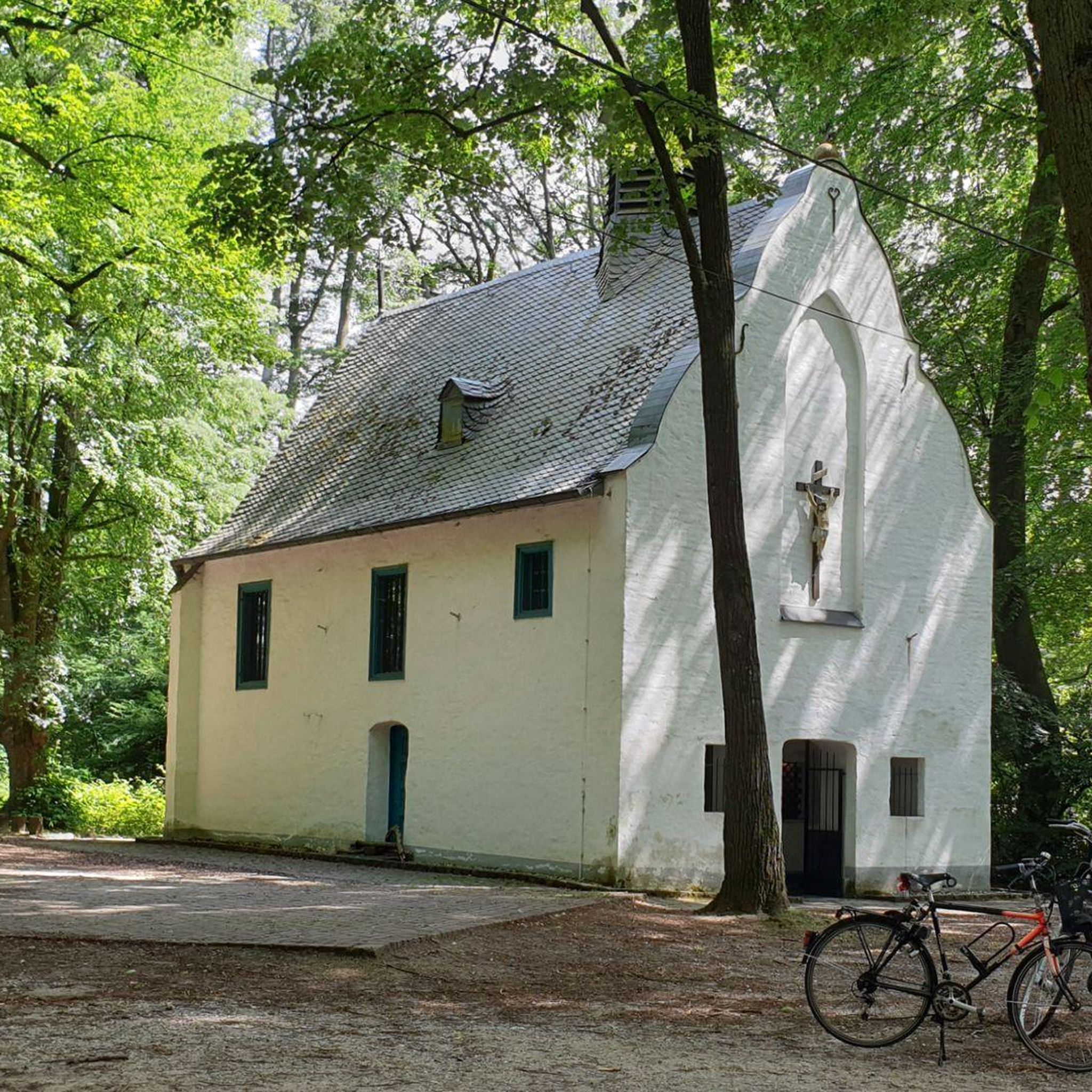
The church is now in a pitiful state. I could not find out whether this is permanent or whether they are going to restore it.
7
0
The church was built in the 16th century, during the Reconquista period. The church has undergone several restorations to preserve its original Mudéjar style and ensure its structural integrity. The church is built in the Mudéjar style, a unique combination of Islamic and Christian architecture typical of the region. The building has a basilica design with a single nave and a wooden ceiling (artesonado) typical of Mudéjar architecture. The interior is decorated with beautiful religious artwork and paintings that highlight the rich religious tradition of the church. The church is an important heritage site for Dehesas de Guadix and attracts visitors for its historical and architectural value.
7
0
Dehesas de Guadix is a small municipality. It is located in the northeast of the comarca of Los Montes and has an area of approximately 57 km²1. The municipality has approximately 426 inhabitants (2016). The history of Dehesas de Guadix goes back to the time of the Reconquista, when the kings of Spain reconquered the area from the Moors. The village was officially founded in the 15th century, when Don Diego Fernández de Iranzo received the land from the kings. One of the most remarkable features of Dehesas de Guadix is the troglodyte dwellings, which are typical of the region. These underground houses are built into the rocks and offer a unique glimpse into the traditional architecture of the area.
7
0
The coat of arms of Dehesas de Guadix is a beautiful symbol that represents the history and identity of the municipality. Here are some important elements of the coat of arms: The coat of arms is divided into three parts. First part: This part shows a mountain (monte) of sinople (green) with a house-cuve (a typical building in the region) of silver, matched with red (gules). Second part: This part shows three oliviers of sinople (green) on a field of gold (oro). Point part: This part shows wavy lines of silver and blue (azur). These elements combine natural and architectural features that are important to the region.
7
0
Frequently Asked Questions
How many no-traffic touring cycling routes are available around Alamedilla?
There are currently 4 dedicated no-traffic touring cycling routes listed around Alamedilla. These routes offer a range of experiences, from moderate to difficult, ensuring options for various fitness levels.
What kind of terrain and difficulty can I expect on these routes?
The routes around Alamedilla offer varied terrain. While some routes like the Bike loop from Guadahortuna are classified as moderate with manageable elevation, others such as the Mirador de la Escalerilla loop from Pedro Martínez and routes through the Desert of Gorafe are more difficult, featuring significant elevation gains and challenging surfaces. The region around Granada, where Alamedilla is located, is characterized by semi-arid landscapes, low hills, and fertile river basins, providing a diverse cycling environment.
Are there any circular no-traffic touring cycling routes?
Yes, all the no-traffic touring cycling routes listed for Alamedilla are circular. For example, you can enjoy the Bike loop from Guadahortuna or the more challenging Desert of Gorafe – Dehesas de Guadix loop from Dehesas de Guadix, both designed as loops for convenient exploration.
What natural features or landmarks can I see along the routes?
The routes offer glimpses of Alamedilla's unique natural and historical landscape. You might encounter dramatic geological formations like the Piedra de la Solana, or cycle through the contrasting fertile lands of the Río Guadahortuna basin. The area is also rich in natural monuments, such as the Acequia del Toril and the Alicún de las Torres Thermal Springs. The Winding Road Through Geoparque de Granada offers stunning views of the region's unique geology.
What is the best time of year for no-traffic touring cycling in Alamedilla?
The semi-arid climate of the Granada region suggests that spring (March to May) and autumn (September to November) are ideal for touring cycling. During these seasons, temperatures are generally milder, making for more comfortable rides. Summers can be very hot, and winters can be cooler, especially at higher elevations.
Are there any family-friendly no-traffic cycling options?
While the listed routes include moderate and difficult options, the region's diverse landscapes mean that easier, flatter sections can often be found, particularly along river valleys like the Tormes in the broader Salamanca/Ávila area. For specific family-friendly no-traffic routes, it's advisable to check the route details for shorter distances and minimal elevation gain. The Vía Verde de Guadix-Almendricos, though not directly listed in the routes, is generally known for being family-friendly due to its car-free nature and gentle gradients.
Can I bring my dog on these no-traffic cycling routes?
While komoot routes themselves don't restrict dogs, local regulations for natural parks or specific trails may apply. Generally, on public paths and Vías Verdes, dogs are often permitted if kept on a leash. It's always best to check specific local signage or park rules, especially if cycling through protected areas like the Sierra de Gredos Regional Park or Batuecas-Sierra de Francia Natural Park, which are in the broader region.
Where can I find parking for these no-traffic touring cycling routes?
For routes starting from towns like Pedro Martínez or Guadahortuna, you can typically find public parking within the villages. For routes like the Desert of Gorafe – Gravel Climb of Dreams loop from Dehesas de Guadix, parking would be available in Dehesas de Guadix. When accessing Vías Verdes, designated parking areas are often available at key access points. Always look for marked parking spaces in the starting towns.
Are there cafes, pubs, or accommodation options along or near the routes?
Yes, the towns and villages that serve as starting points or pass-throughs for these routes, such as Pedro Martínez, Guadahortuna, and Dehesas de Guadix, will offer local cafes, pubs, and basic accommodation options. The broader region, including areas near the Vía Verde de Guadix-Almendricos, also has rural guesthouses and restaurants catering to outdoor enthusiasts. It's recommended to check opening hours, especially in smaller villages, and book accommodation in advance.
What is the Vía Verde de Guadix-Almendricos, and how can I access it?
The Vía Verde de Guadix-Almendricos is a disused railway line converted into a greenway, offering a fantastic car-free cycling experience. While not explicitly listed as one of the routes in this guide, it's a significant no-traffic option in the broader region of Granada. Access points are typically found in towns along its length, such as Guadix. You can find more information and specific access points by searching for 'Vía Verde de Guadix-Almendricos' on komoot or other local tourism resources.
What do other touring cyclists enjoy most about cycling in Alamedilla?
The komoot community rates the touring cycling experience in Alamedilla with an average score of 3.0 stars. Reviewers often praise the unique, quiet landscapes, particularly the dramatic geological formations and the contrast between semi-arid surroundings and fertile river basins. The challenge of the more difficult routes and the sense of exploration in less-trafficked areas are also frequently highlighted.
Most popular routes around Alamedilla
Most popular attractions around Alamedilla

Get inspired with the komoot mobile app


Explore more
Browse the best Cycling routes in other regions.
