The best traffic-free bike rides around Bronchales
4.1
(6)
153
riders
9
rides
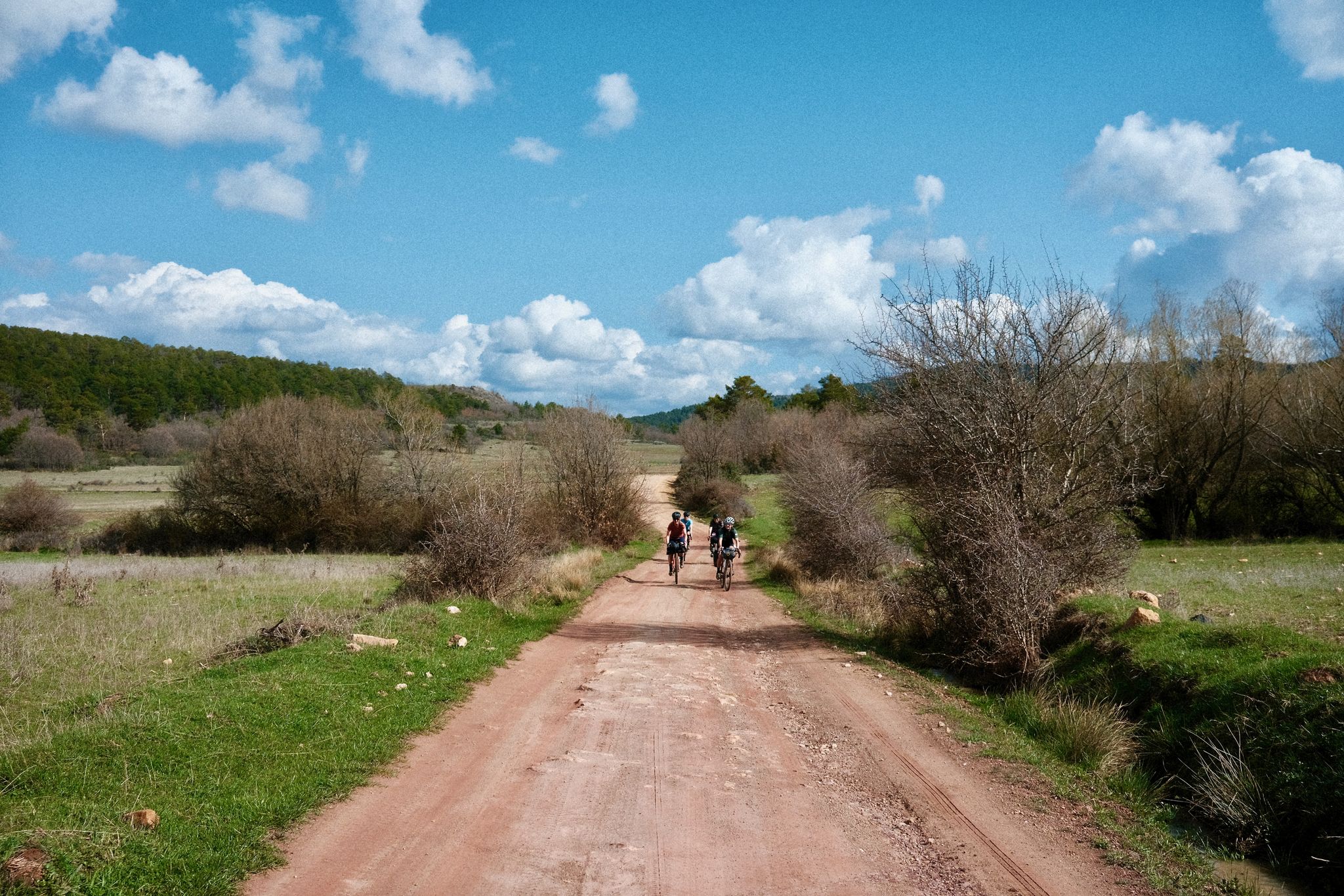
Gravel biking around Bronchales, situated at an elevation of approximately 1,569 meters, offers routes through the Sierra de Albarracín. The region is characterized by extensive Scots pine forests, rugged mountainous terrain, and high plateaus. Cyclists encounter unique geological formations, including red sandstone and "stone rivers," alongside numerous natural springs and the Guadalaviar River. This diverse landscape provides varied terrain for gravel biking.
Best no traffic gravel bike trails around Bronchales
- The most popular no traffic gravel bike trail is Orihuela…
Last updated: July 15, 2026
4.8
(4)
108
riders
141km
10:01
2,360m
2,360m
Hard gravel ride. Very good fitness required. Mostly paved surfaces. Suitable for all skill levels.
14
riders
107km
08:53
1,840m
1,840m
Hard gravel ride. Very good fitness required. Mostly paved surfaces. Suitable for all skill levels.

Sign up for free
5
riders
27.5km
02:24
580m
580m
Hard gravel ride. Very good fitness required. Mostly paved surfaces. Suitable for all skill levels.
4
riders
Hard gravel ride. Very good fitness required. Mostly paved surfaces. Suitable for all skill levels.
2
riders
23.1km
02:03
450m
450m
Hard gravel ride. Very good fitness required. Mostly paved surfaces. Suitable for all skill levels.
Get access to more routes and recommendations from other explorers.
Sign up for free
Already have an account?
Our route recommendations are based on thousands of hikes, rides, and runs completed by other people on komoot.
Start today with a free account
Your next adventure awaits.
Login or Signup


Other adventures around Bronchales

Tips from the Community

Emblematic place, with natural sculptures, visible from the road itself
0
0

Within the great beauty of the Enchanted City of Chequilla are the Towers, near the Church Square.
0
0

This setting couldn't be more spectacular, containing a series of stone figures capriciously created by nature over hundreds of thousands of years. Erosion has exposed the hardest parts of the rocks, which remain as silent witnesses to the passage of time and serve as an attraction for tourists who come to marvel at these strange formations.
9
0
These rock formations create a very unique setting at the entrance to the town of Chequilla. Erosion over hundreds of thousands of years has formed these whimsical figures that serve as a tourist attraction for anyone who visits this small town.
0
0

The official source of water is located at Fuente de García, in the Montes Universales, within the municipality of Frías de Albarracín (Teruel). It is located at an altitude of approximately 1,590 meters, surrounded by pine forests and high mountain meadows. Access is very easy and well signposted. Take the A-1704 highway, which connects Frías de Albarracín with Huélamo (Cuenca). From the highway, a paved detour of approximately 2 km takes you directly to the recreational area and the monument. There is free parking next to the monument.
10
0
Access is very easy and well signposted. Take the A-1704 highway, which connects Frías de Albarracín with Huélamo (Cuenca). From the highway, a paved detour of approximately 2 km takes you directly to the recreational area and the monument. There is free parking next to the monument.
5
0
The official source is located at Fuente de García, in the Montes Universales, within the municipality of Frías de Albarracín (Teruel). It is located at an altitude of approximately 1,590 meters, surrounded by pine forests and high mountain meadows.
5
0
It is a reference to the place where the longest river in Spain originates, stretching over 1,000 km and flowing into neighboring Portugal. These statues symbolize this point in the Albarracín mountain range.
8
0
Frequently Asked Questions
How many traffic-free gravel bike trails can I find around Bronchales?
This guide features 8 dedicated traffic-free gravel bike trails around Bronchales. These routes offer a fantastic way to explore the region's extensive pine forests and mountainous terrain without vehicle interference.
What kind of terrain and elevation can I expect on Bronchales' gravel trails?
The gravel trails around Bronchales are characterized by varied terrain, including forest roads, double tracks, and some paved sections. Given the region's elevated position in the Sierra de Albarracín, you can expect significant elevation gains, with routes like the Orihuela del Tremedal – Griegos loop from Tramacastilla featuring over 1,800 meters of ascent, offering challenging climbs and rewarding descents.
Are there any easy, traffic-free gravel routes suitable for beginners around Bronchales?
While many routes in the Bronchales area are rated as 'difficult' due to elevation, there are options that offer a more moderate challenge. For instance, the Bronchales Town Center – Camping Las Corralizas loop from Bronchales is rated 'moderate' and provides a good introduction to the region's gravel biking, with around 370 meters of elevation gain over 19 km.
What natural features or landmarks can I see along the gravel bike trails?
The trails wind through vast Scots pine forests and offer views of rugged peaks. You might encounter unique geological formations like the red sandstone of Pinares de Rodeno and natural springs. Notable points of interest include the Sierra Alta Summit, offering panoramic views, and the charming villages of Orihuela del Tremedal and Griegos.
Are there any loop routes for gravel biking in Bronchales?
Yes, many of the traffic-free gravel routes around Bronchales are designed as loops, allowing you to start and finish in the same location. Examples include the Bronchales Town Center – Orihuela del Tremedal loop and the Bronchales – Bronchales Town Center loop, providing convenient circular journeys through the scenic landscape.
What is the best time of year to go gravel biking in Bronchales?
The elevated position of Bronchales means pleasant temperatures during spring, summer, and early autumn, making these seasons ideal for gravel biking. The extensive pine forests provide shade, which is particularly welcome during warmer months. Winter can bring snow, adding a different challenge, but generally, late spring to early autumn offers the most favorable conditions.
Are there any family-friendly traffic-free gravel trails in the area?
While many routes feature significant elevation, some sections of the forest roads and double tracks can be suitable for families seeking a quieter ride. For a shorter, more manageable loop, consider parts of the Bronchales Town Center – Camping Las Corralizas loop, which is rated moderate and offers a taste of the natural environment.
Can I bring my dog on the gravel bike trails around Bronchales?
The natural environment around Bronchales, with its vast forests and open spaces, is generally dog-friendly. However, it's always recommended to keep dogs on a leash, especially in areas with wildlife like deer and wild boar, and to check local regulations for specific trails or natural parks you plan to visit.
Where can I find parking for gravel biking near the trails in Bronchales?
Bronchales is a small town, and parking is generally available in and around the town center, which serves as a common starting point for many routes. For example, the Bronchales Town Center is a convenient place to park and begin your adventure, with several loop routes starting from there.
What do other gravel bikers enjoy most about the traffic-free trails in Bronchales?
The komoot community rates the Bronchales area highly, with an average score of 2.0 stars. Reviewers often praise the immersive experience of riding through the quiet, dense pine forests, the challenging yet rewarding climbs, and the stunning panoramic views from high points like the Sierra Alta Summit, all while enjoying the peace of traffic-free routes.
Are there any places to eat or stay near the gravel trails in Bronchales?
Bronchales itself offers local amenities, including places to eat and stay. Additionally, nearby villages like Orihuela del Tremedal and Griegos provide further options. For a unique experience, Camping Las Corralizas, known as the highest campsite in Spain, is also accessible via a dedicated loop route from Bronchales.
Most popular attractions around Bronchales

Get inspired with the komoot mobile app


Explore more
Browse the best Gravel rides in other regions.
