The best gravel rides around Bronchales
4.1
(6)
162
riders
10
rides
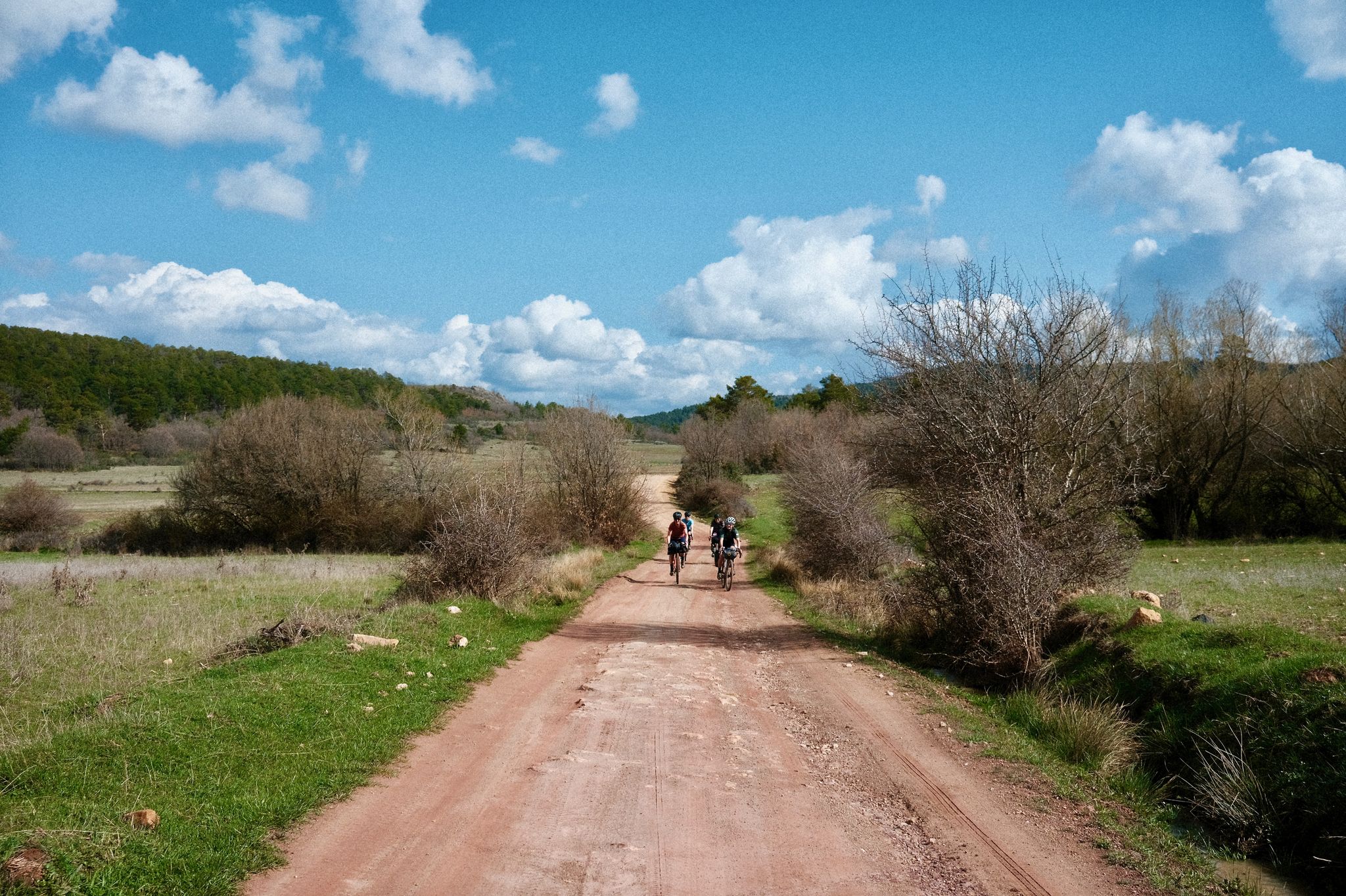
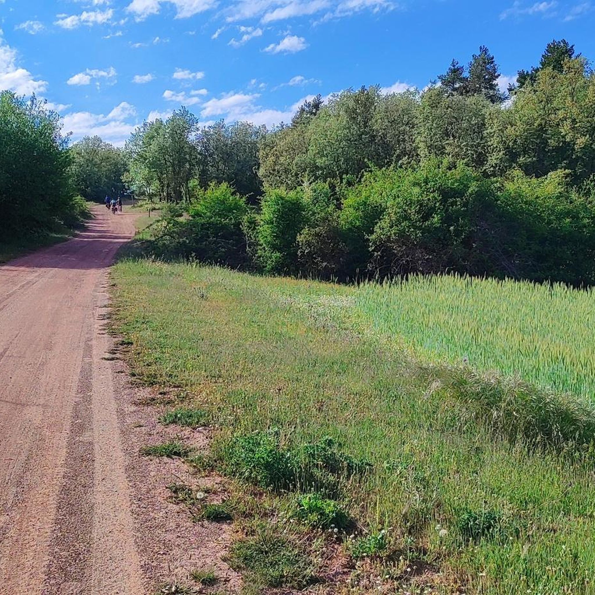
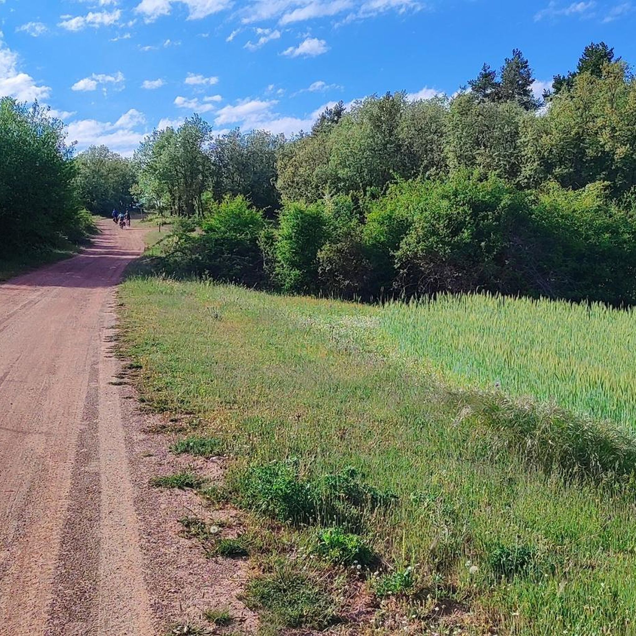
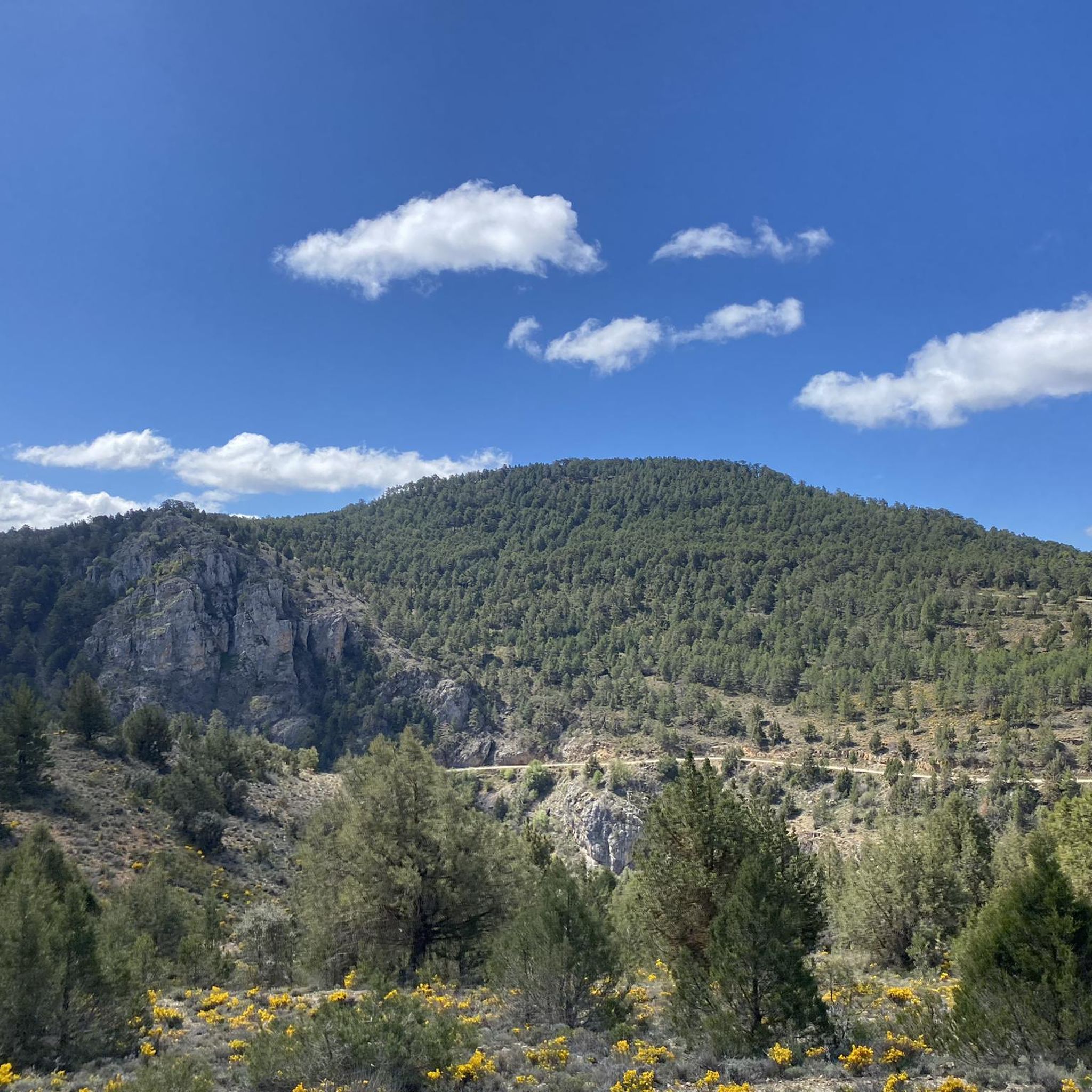
Gravel biking around Bronchales offers routes through the mountainous terrain of the Sierra de Albarracín, characterized by extensive pine forests and high plateaus. The region's elevation provides varied gradients suitable for challenging rides. The landscape primarily consists of natural woodlands and open areas, with a significant portion of the trails being technically demanding.
Best gravel bike trails around Bronchales
- The most popular gravel bike trail is Orihuela del Tremedal – Griegos loop from Tramacastilla, a 65.2 miles (105.0 km)…
Last updated: July 3, 2026
4.8
(4)
117
riders
140km
10:25
2,290m
2,290m
Hard gravel ride. Very good fitness required. Mostly paved surfaces. Suitable for all skill levels.
13
riders
105km
08:50
1,830m
1,830m
Hard gravel ride. Very good fitness required. Mostly paved surfaces. Suitable for all skill levels.

Sign up for free
5
riders
27.5km
02:26
580m
580m
Hard gravel ride. Very good fitness required. Mostly paved surfaces. Suitable for all skill levels.
3.5
(2)
6
riders
27.3km
02:11
530m
540m
Hard gravel ride. Very good fitness required. Mostly paved surfaces. Suitable for all skill levels.
4
riders
Hard gravel ride. Very good fitness required. Mostly paved surfaces. Suitable for all skill levels.
Get access to more routes and recommendations from other explorers.
Sign up for free
Already have an account?
Our route recommendations are based on thousands of hikes, rides, and runs completed by other people on komoot.
Start today with a free account
Your next adventure awaits.
Login or Signup
Other adventures around Bronchales

Tips from the Community

Beautiful asphalt road with a beautiful rock face towards a short gorge, with occasional possible stops
10
0

Emblematic place, with natural sculptures, visible from the road itself
0
0

Everything about this place is beautiful
0
0
Viewpoint for the church offers a great view over the valley
0
0

The Cathedral of El Salvador is located in the center of Albarracín, a city known for its challenging terrain, perched on a hill surrounded by the Guadalaviar River gorge. The bell tower is not only a functional element for housing the bells, but also a key component in the cathedral's aesthetics and silhouette.
4
0

Within the great beauty of the Enchanted City of Chequilla are the Towers, near the Church Square.
0
0

This shelter serves as a resting place and even as a place to spend the night during hikes. The surrounding area features stone tables and benches where you can sit and eat while enjoying the surroundings.
10
0
It's a shaded, cool rest area where you can relax and have a bite to eat on the stone benches. In Peralejos, there's a small grocery store where you can buy food or toiletries.
9
0
Frequently Asked Questions
What is the general difficulty level of gravel bike trails around Bronchales?
The gravel biking routes in Bronchales are predominantly challenging. Out of the 10 available tours, 8 are classified as difficult, with the remaining 2 being moderate. This region, characterized by mountainous terrain and varied gradients, is best suited for experienced riders looking for a demanding experience.
Are there any beginner-friendly gravel bike routes in Bronchales?
While most routes around Bronchales are classified as difficult, there are a couple of moderate options available. However, there are no routes specifically designated as easy. Riders new to gravel biking or those seeking a very relaxed pace might find the terrain more challenging than expected.
What kind of landscapes can I expect to see on gravel bike trails in Bronchales?
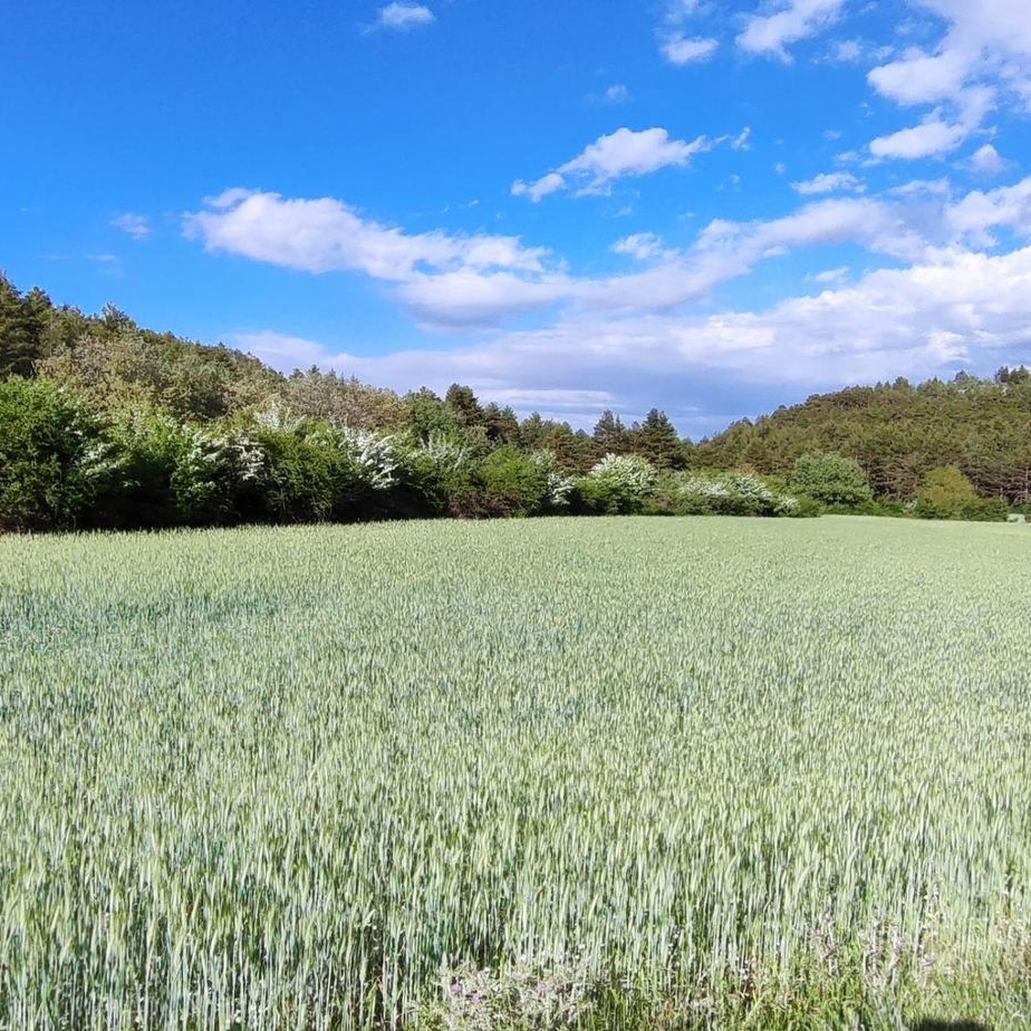
Gravel biking in Bronchales takes you through extensive pine forests and high plateaus, characteristic of the Sierra de Albarracín. You'll experience a mix of natural woodlands and open landscapes, with routes often traversing mountainous terrain, offering diverse and scenic views.
Are there any circular gravel bike routes available in Bronchales?
Yes, many of the gravel bike routes in Bronchales are designed as loops. For example, you can explore the Bronchales Town Center – Orihuela del Tremedal loop from Bronchales, a challenging 27.5 km ride, or the Albarracín – Main Square loop from El Sabinar, which covers 28.3 km through mountainous terrain.
What are some notable viewpoints or attractions along the gravel bike routes?
Several routes offer opportunities to see interesting landmarks and natural features. You might pass through settlements like Orihuela del Tremedal or Griegos. For scenic vistas, consider routes that lead towards the Sierra Alta Summit or pass by the La Portera Refuge and Viewpoint. The region also features unique natural monuments like the Fountain of the Enchanted Forest of Brigitta.
What is the longest gravel bike trail in the Bronchales area?
The longest gravel bike trail in the area is the Orihuela del Tremedal – Griegos loop from Tramacastilla. This challenging route spans 105.0 km and typically takes around 10 hours and 13 minutes to complete, offering extensive riding through varied terrain.
Are there any shorter, challenging gravel bike routes for a quicker ride?
For a shorter but still challenging experience, consider the Bronchales – Bronchales Town Center loop from Bronchales. This route is 23.1 km long and can be completed in about 2 hours and 3 minutes, providing a good workout within a more condensed timeframe.
What is the best time of year for gravel biking in Bronchales?
Given the mountainous terrain and high plateaus, spring and autumn are generally ideal for gravel biking in Bronchales. The temperatures are milder, and the natural landscapes are vibrant. Summers can be hot, and winters, especially at higher elevations, may bring snow and colder conditions, making some trails less accessible or more challenging.
What should I know about winter gravel biking in Bronchales?
Winter gravel biking in Bronchales can be challenging due to the region's elevation. Higher areas may experience snow and ice, making trails slippery or impassable. It's crucial to check local weather forecasts and trail conditions before heading out and to be prepared with appropriate gear for cold weather and potentially difficult terrain.
Are there any historical sites or castles accessible by gravel bike in the region?
Yes, the region offers historical points of interest. While not directly on a gravel bike route, the impressive Peracense Castle is a notable landmark nearby that you might consider visiting as part of your trip to the Bronchales area.
How many gravel bike trails are available in the Bronchales area?
There are 10 gravel bike trails available around Bronchales, offering a range of challenging routes through the region's diverse landscapes.
Most popular routes around Bronchales
Most popular attractions around Bronchales

Get inspired with the komoot mobile app


Explore more
Browse the best Gravel rides in other regions.
