The best traffic-free bike rides around Durango
4.7
(156)
9,288
riders
17
rides
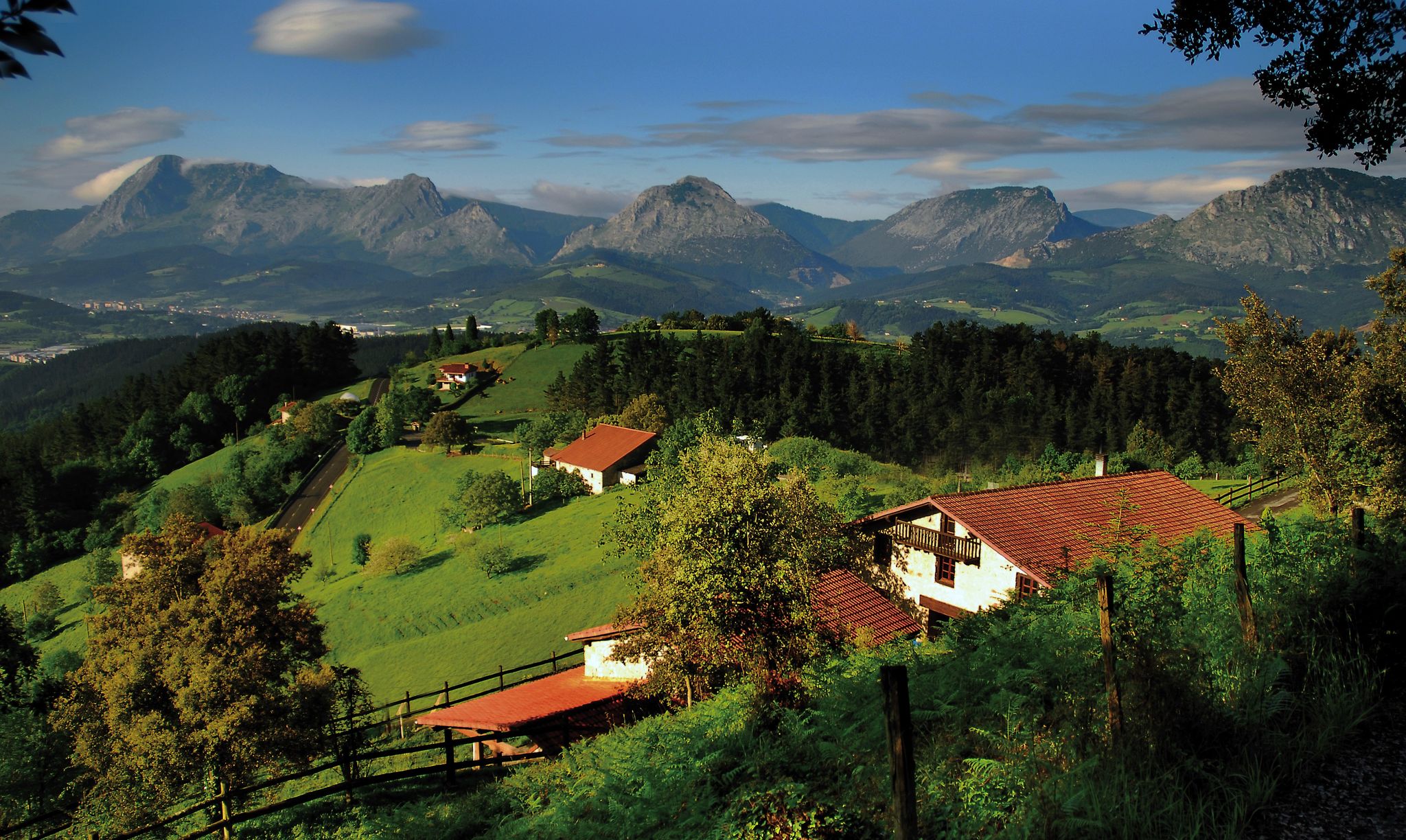
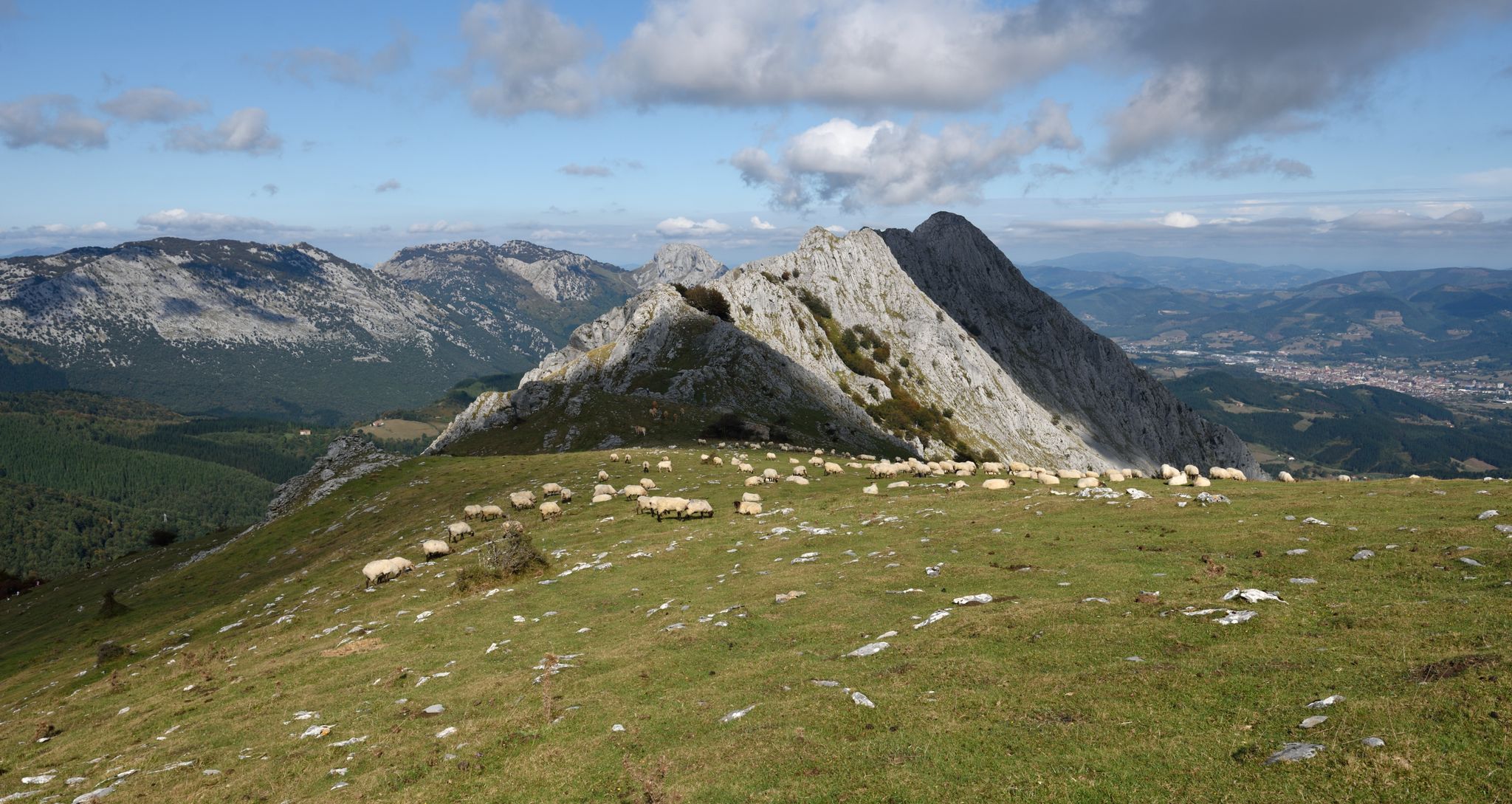
No traffic road cycling routes around Durango traverse a varied landscape, from river valleys to mountainous terrain. The region is characterized by its dramatic elevation changes, with routes often following river courses or ascending into higher elevations. Cyclists can experience diverse ecosystems, transitioning from lower valley floors to more challenging mountain passes. This blend of features provides a dynamic environment for road cycling.
Best no traffic road cycling routes around Durango
- The most popular no traffic road cycling route is…
Last updated: July 1, 2026
56
riders
41.5km
04:26
1,060m
1,060m
Challenging 25.8-mile road cycling route from Durango to Mount Oiz, featuring steep climbs and panoramic views of the Basque coastline.
57
riders
80.9km
04:17
1,490m
1,490m
Hard road ride. Very good fitness required. Mostly well-paved surfaces and easy to ride.

Sign up for free
50
riders
30.4km
03:59
720m
720m
Moderate road ride. Good fitness required. Some segments of this route may be unpaved and difficult to ride.
42
riders
79.7km
04:25
1,570m
1,570m
Hard road ride. Very good fitness required. Mostly well-paved surfaces and easy to ride.
47
riders
79.9km
04:04
1,280m
1,280m
Hard road ride. Very good fitness required. Mostly well-paved surfaces and easy to ride.
Get access to more routes and recommendations from other explorers.
Sign up for free
Already have an account?
Our route recommendations are based on thousands of hikes, rides, and runs completed by other people on komoot.
Start today with a free account
Your next adventure awaits.
Login or Signup




Tips from the Community

The Alto de Ixua is an iconic mountain pass in Eibar, with steep slopes that make it a classic Basque cycling route. From its summit, you can enjoy sweeping views of the mountains of Gipuzkoa and the industrial valley of Eibar.
1
0

Edwin, I've been drinking water from that spring for over 30 years. In fact, all of us in Berriz drink water from the springs in Oiz. I'd say it's some of the best water you can drink in the Basque Country, hehe.
0
0

Lonely coastal road for cycling with a beautiful beach and bars for a break.
0
0

Nice picnic area, located in the forest, with picnic areas and barbecues. It is an ideal place to enjoy nature.
1
0
Located between green hills, the municipality of Garay is part of the Duranguesado region, in Vizcaya. It is located on the slopes of the Oiz massif.
1
0

Small hermitage located on a hill at 791 meters above sea level, near the top of Monte Oiz. It is a place of great devotion and tradition, and offers stunning panoramic views of the surrounding valleys and mountains.
1
0

There is a fountain here and the views are quite good of the valley below. I'm not sure if the water is drinkable. It probably is, but I'm not sure I'd risk it.
1
0
This bridge is an incredible find in the middle of the forest. It is covered with ivy and in summer it is so green that it is hardly visible. If you go down next to the river you can take some great photos with the water and the bridge. For many years this bridge has had to survive numerous floods. It's amazing that he's still here.
1
0
Frequently Asked Questions
How many no-traffic road cycling routes are available in the Durango area?
There are 11 dedicated no-traffic road cycling routes around Durango featured in this guide. These routes range in difficulty, offering options for various skill levels.
What is the best time of year for no-traffic road cycling in Durango?
Durango enjoys approximately 300 days of sunshine annually, making it a great destination for road cycling for much of the year. The spring, summer, and fall months generally offer the most pleasant conditions, with clear skies and comfortable temperatures. While winter cycling is possible, some higher elevation routes or passes might be affected by snow.
Are there any challenging no-traffic road cycling routes for experienced riders?
Yes, Durango offers several challenging no-traffic routes with significant elevation gains. For instance, the Mount Oiz Circular Trail covers over 41 km with more than 1000 meters of elevation gain, while the Artzubi Bridge – Mendata Village loop from Durango is a difficult 80 km ride with nearly 1500 meters of climbing.
Can I find family-friendly or easy no-traffic road cycling options in Durango?
While this guide focuses on routes with moderate to difficult ratings, the Durango area is known for its accessible cycling. The Animas River Trail, for example, is a paved, car-free path offering scenic river views, perfect for families or those seeking an easier ride. For routes within this guide, consider options that are shorter in distance and elevation.
What kind of natural features or landmarks can I expect to see along these routes?
Durango's no-traffic road cycling routes often traverse diverse landscapes, from the Animas River Valley with its red cliffs to views of the majestic San Juan Mountains. You might encounter various ecosystems, from high-desert terrain to alpine forests. For specific points of interest, consider exploring highlights like Anboto (1,331 m) or Alto de Muniketa (Montecalvo), which are mountain peaks and passes offering stunning vistas.
Are there any loop routes for no-traffic road cycling?
Yes, several routes in this guide are designed as loops, allowing you to start and end at the same point. Examples include the challenging Mount Oiz Circular Trail and the moderate Lasiar Recreation Area – Garai loop from Traña, which offers a 30 km ride with over 700 meters of elevation.
What do other road cyclists enjoy most about the no-traffic routes in Durango?
The no-traffic road cycling routes in Durango are highly rated by the komoot community, with an average score of 4.74 stars. Reviewers often praise the stunning mountain scenery, the feeling of solitude on less-trafficked roads, and the diverse terrain that caters to various fitness levels. The opportunity to experience the region's natural beauty without vehicle interference is a common highlight.
Are there any specific roads or areas known for low traffic that are good for cycling?
Beyond the dedicated no-traffic routes, Durango has several county roads (CRs) that are popular with cyclists due to lower traffic volumes and scenic beauty. CR 250, CR 252 (Trimble Lane), and CR 203 are often mentioned as good options for road cycling with reduced traffic, offering a mix of terrain and views through the Animas Valley.
Where can I find parking for these no-traffic road cycling routes?
Parking availability varies by route. Many routes start from or pass through towns like Durango, where public parking is available. For routes venturing further out, look for designated trailheads or public access points. It's advisable to check specific route details or local maps for the most convenient parking options near your chosen starting point.
Can I combine a road cycling trip with other activities or attractions in Durango?
Absolutely. Durango is an outdoor enthusiast's paradise. After a ride, you could explore the historic Durango & Silverton Narrow Gauge Railroad, visit nearby Mesa Verde National Park, or enjoy other activities like hiking, mountain biking, or whitewater rafting. The San Juan Skyway also offers a scenic drive for further exploration of the region's stunning mountain vistas.
Are there any routes that offer significant climbs or mountain pass experiences?
Yes, the region is known for its challenging mountain passes. While not strictly 'no-traffic' in all sections, routes like the classic Durango to Silverton ride on Highway 550 include significant ascents over Coal Bank Pass (10,660 feet) and Molas Pass (10,900 feet), offering spectacular mountain views and a true high-alpine cycling experience. Within this guide, routes like the Alto de Ixua – Areitio Climb loop from Durango provide substantial climbing challenges.
Most popular attractions around Durango

Get inspired with the komoot mobile app


Explore more
Browse the best Road cycling routes in other regions.
