The best road cycling routes around Durango
4.7
(156)
9,288
riders
33
rides
Road cycling around Durango is characterized by its diverse terrain, ranging from high-desert mesas to alpine peaks within the San Juan Mountains. The region is bordered by the expansive San Juan National Forest, offering a dramatic blend of natural features. The Animas River flows through the scenic Animas Valley, providing a central feature for many routes. The landscape includes views of the La Plata Mountains and various reservoirs, making it suitable for varied road cycling experiences.
Best road cycling routes…
Last updated: July 7, 2026
56
riders
41.5km
04:26
1,060m
1,060m
Challenging 25.8-mile road cycling route from Durango to Mount Oiz, featuring steep climbs and panoramic views of the Basque coastline.
4.7
(11)
422
riders
39.3km
01:49
330m
340m
Moderate road ride. Good fitness required. Some segments of this route may be unpaved and difficult to ride.

Sign up for free
5.0
(4)
337
riders
Moderate road ride. Good fitness required. Mostly well-paved surfaces and easy to ride.
4.7
(32)
187
riders
26.3km
01:13
180m
180m
Easy road ride. Great for any fitness level. Mostly well-paved surfaces and easy to ride.
5.0
(2)
154
riders
94.1km
04:09
730m
730m
Moderate road ride. Good fitness required. Mostly well-paved surfaces and easy to ride.
Get access to more routes and recommendations from other explorers.
Sign up for free
Already have an account?
Our route recommendations are based on thousands of hikes, rides, and runs completed by other people on komoot.
Start today with a free account
Your next adventure awaits.
Login or Signup
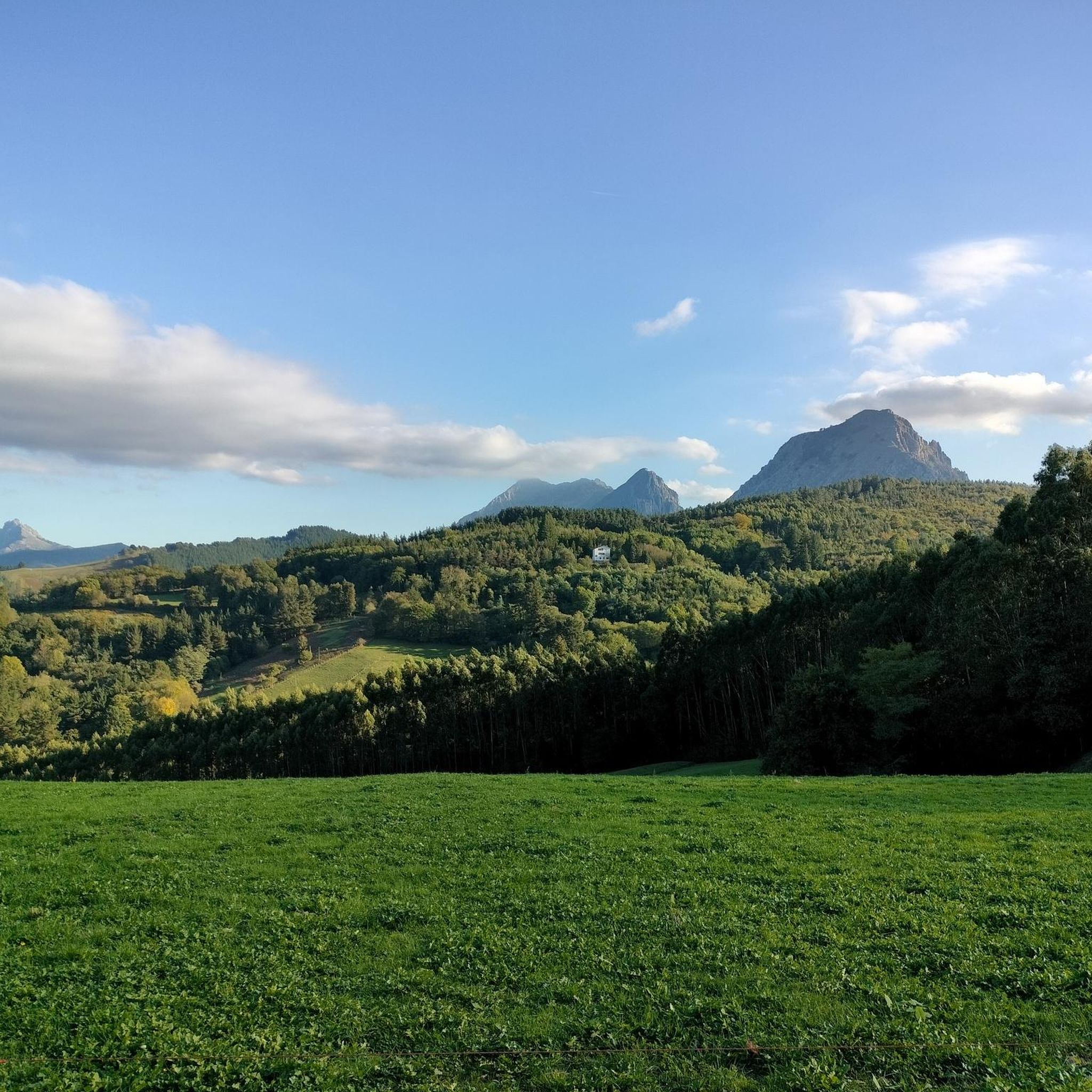
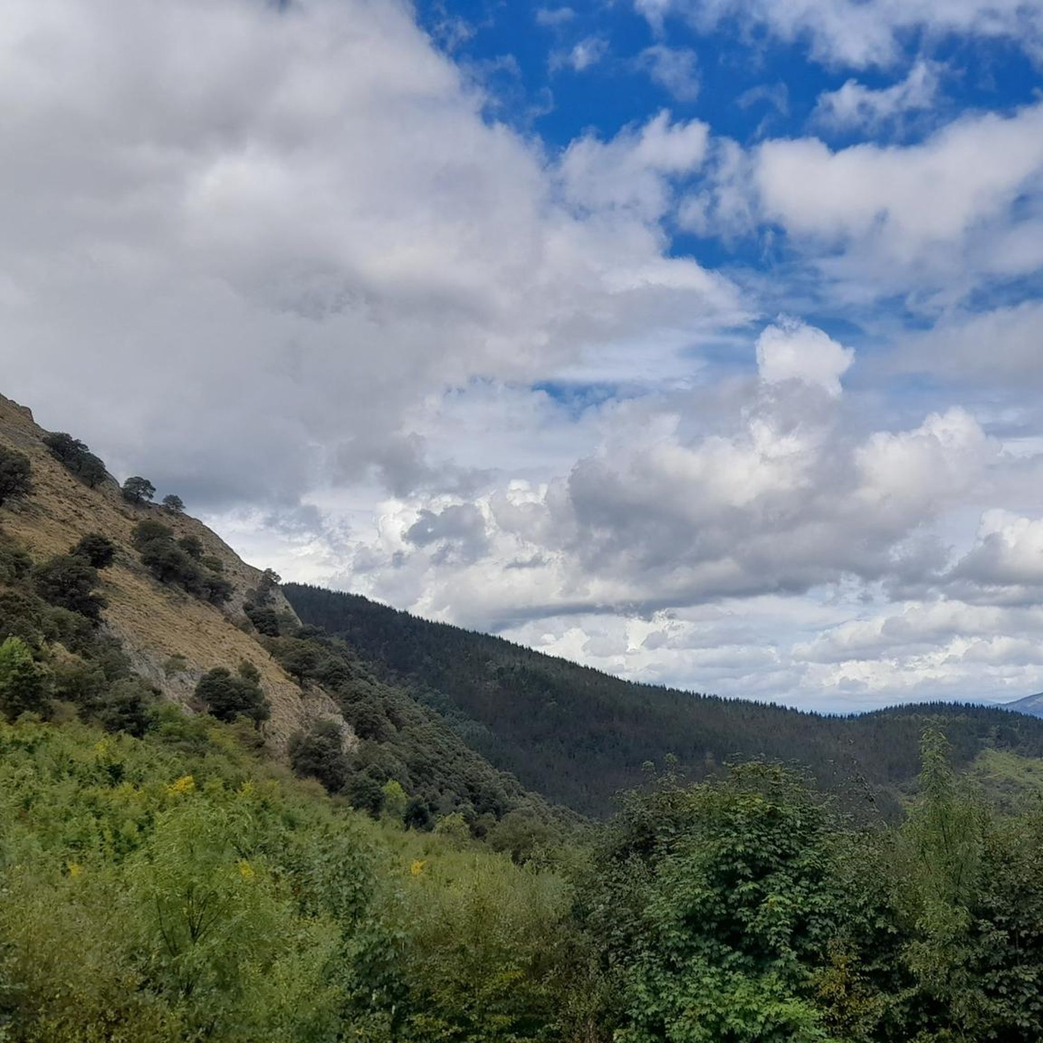




Tips from the Community


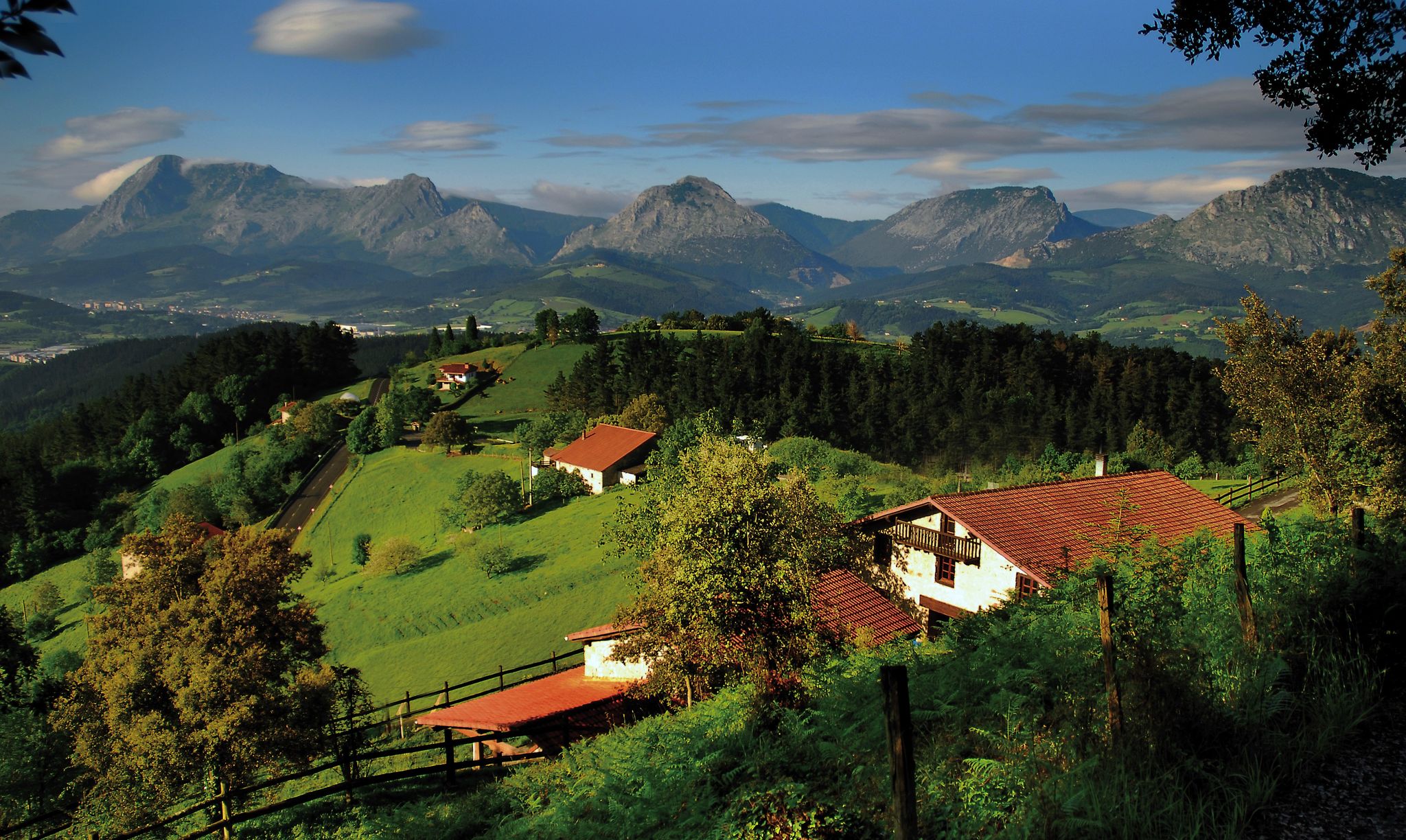
Located in the center of San Miguel, on the outskirts of Amorebieta, the hermitage of San Miguel de Dudea. It should be noted that one of the entrances is decorated with diamond points.
0
0
In the province of Biscay, the municipality of Amorebieta-Etxano is crossed by the Ibaizábal River. Among its historic buildings stands out the beautiful church of Santa María de la Asunción, located along the river course.
0
0

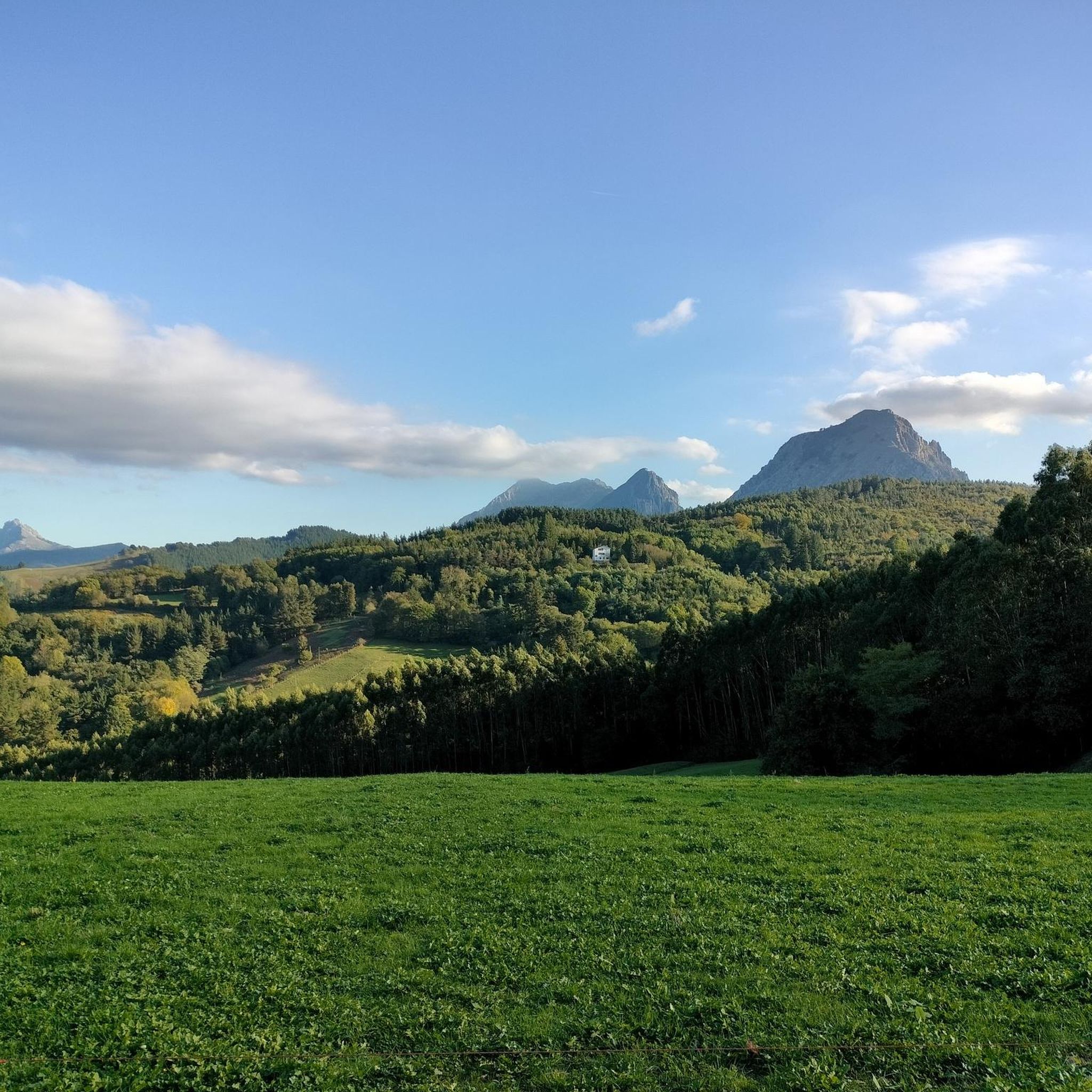
The BI-3524 regional highway connects the towns of Ugao-Miraballes and Artea, crossing the municipality of Zeberio. It is a conventional two-way road with a variable road width of about six meters and has a winding layout, with very tight curves. The section of road on which action has been taken begins before reaching the Olatxu neighborhood, in Zeberio, P.K. 15+800, and ends at the station. 26+060, coinciding with the intersection with the BI-3513 highway, in the municipality of Artea. There are two sections of this road transferred to the municipalities in which no action has been taken; a section of 840 meters in the Olatxu neighborhood and another of 1,300 meters in the urban center of Zubialde.
0
0


Mythical place for Biscayan cyclists, the scene of endless races of all categories!
0
0
This is the point where one of the most brutal climbs in the Basque Country begins. This climb between mills has been the end of several stages of the tour of the Basque Country, with an impressive arrival among crowds.
0
0

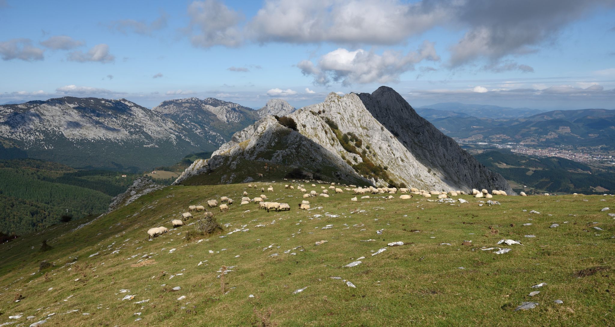
From the Ganbe crossroads, the ascent to Oiz is done on a concrete track and you will find ramps with a gradient of up to 24%. Undoubtedly a port only suitable for the most prepared cyclists. Once the concrete track begins, a section starts with an average of 14% and ramps of up to 20%. The hardest part is 700 meters at 17% on average and ramps of up to 24%. The concrete ends at an altitude of 1004 meters. There are those who decide to continue along the gravel path until the last antenna, but it is not recommended for road bikes. From the top there are splendid views on clear days you can see the Pyrenees and the Cantabrian peaks.
0
0
Frequently Asked Questions
How many road cycling routes are available around Durango?
Durango offers a wide variety of road cycling routes. While this guide highlights some of the best, the komoot community has mapped over 30 routes in the area, catering to various skill levels and preferences.
What are the best times of year for road cycling in Durango?
The best time for road cycling in Durango is generally from late spring through early fall. Summer offers warm weather and full access to high mountain passes, while spring and fall provide cooler temperatures and stunning scenery, though some higher elevation routes may still have snow in early spring or late fall.
Are there any easy, family-friendly road cycling routes in Durango?
Yes, Durango has several options suitable for families and beginners. The Animas River Trail is an excellent choice, offering an easy, paved, multi-use path that follows the Animas River through downtown, perfect for a relaxed ride with scenic views. The Beautiful Valley Loop is another easy option, providing gentle terrain and views of the La Plata Mountains.
Where can I find challenging road cycling routes near Durango?
For experienced cyclists seeking a challenge, the Durango area delivers. The iconic Durango to Silverton Via Highway 550 route is a demanding 50-mile one-way ride with significant elevation gain over Coal Bank Pass and Molas Pass. Another challenging option is the Lemon Reservoir & Vallecito Reservoir via Florida Road, a longer route with substantial climbs.
What scenic landmarks can I expect to see on road cycling routes in Durango?
Durango's routes are rich with natural beauty. You'll encounter views of the majestic La Plata Mountains, the scenic Animas Valley and River, and the expansive San Juan National Forest. Features like the Hermosa Cliffs, Wildcat Canyon, Vallecito Reservoir, and Lake Nighthorse are visible from various routes. For specific natural monuments, you can explore highlights like Anboto (1,331 m) or the Balcón de Bizkaia Viewpoint.
Are there any circular road cycling routes around Durango?
Yes, many popular road cycling routes in Durango are circular. Examples include the Beautiful Valley Loop, a 26.7-mile ride through the Animas Valley, and the Smelter Mountain Loop, a moderate 14.4-mile option. The Wildcat Canyon Loop is a 35-mile ride offering fantastic views.
What do other road cyclists enjoy most about the routes in Durango?
The road cycling routes in Durango are highly rated by the komoot community, with an average score of 4.7 stars. Cyclists frequently praise the diverse terrain, from river valleys to alpine climbs, and the stunning mountain backdrops. The variety of options, catering to all ability levels, is also a significant draw.
Are there specific routes that offer views of the La Plata Mountains?
Absolutely. The La Plata Mountains provide a majestic backdrop to many rides. The Beautiful Valley Loop offers direct views, and sections of CR 250, particularly as part of the Baker's Bridge Loop, also provide stunning vistas of the range.
Can I combine a road cycling trip with other activities in Durango?
Durango is an outdoor enthusiast's paradise, making it easy to combine road cycling with other activities. You could cycle to Abaro Tunnel or Baltzola Caves, or visit nearby Mesa Verde National Park for its ancient cliff dwellings. The Animas River also offers opportunities for kayaking and rafting, and Lake Nighthorse is popular for various water activities.
Are there any less crowded road cycling routes in Durango?
While popular routes can see more traffic, exploring roads like CR 250, which is part of the Baker's Bridge Loop, can offer a quieter and more scenic alternative to busier highways. Venturing onto some of the longer, more demanding routes like the Durango to Navajo Reservoir trip can also lead to less crowded experiences.
What are the elevation profiles like for road cycling routes in Durango?
Durango's road cycling routes feature diverse elevation profiles, ranging from gentle, flat sections along river valleys to significant climbs into the San Juan Mountains. You'll find routes with minimal elevation gain for leisurely rides, as well as challenging ascents like the 6,000 feet of climbing on the Durango to Silverton route, which includes two mountain passes.
Most popular routes around Durango
Most popular attractions around Durango

Get inspired with the komoot mobile app


Explore more
Browse the best Road cycling routes in other regions.
