The best traffic-free bike rides around Fontainemore
4.4
(146)
3,252
riders
9
rides
Road cycling around Fontainemore offers routes through dramatic alpine landscapes and preserved rural areas in Italy's Aosta Valley. The region features significant elevation changes, with routes traversing the Lys Valley and ascending towards the Mont Mars Nature Reserve. Cyclists can expect paved roads suitable for touring, often following riverside paths or climbing to higher elevations. This area provides a challenging yet rewarding environment for road cyclists seeking quiet routes.
Best no traffic road cycling routes around Fontainemore
- The most popular…
Last updated: July 14, 2026
1
riders
15.4km
01:12
660m
660m
Moderate road ride. Good fitness required. Mostly well-paved surfaces and easy to ride.
17
riders
74.0km
03:39
740m
740m
Moderate road ride. Good fitness required. Mostly well-paved surfaces and easy to ride.

Sign up for free
13
riders
34.6km
02:43
1,260m
1,260m
Hard road ride. Very good fitness required. Some segments of this route may be unpaved and difficult to ride.
11
riders
35.3km
02:14
850m
850m
Moderate road ride. Good fitness required. Some segments of this route may be unpaved and difficult to ride.
9
riders
41.9km
03:33
1,510m
1,510m
Hard road ride. Very good fitness required. Some segments of this route may be unpaved and difficult to ride.
Get access to more routes and recommendations from other explorers.
Sign up for free
Already have an account?
Our route recommendations are based on thousands of hikes, rides, and runs completed by other people on komoot.
Start today with a free account
Your next adventure awaits.
Login or Signup
Popular around Fontainemore

Alta Via n. 1 of the Aosta Valley — a walk among Italian giants

GTA Central Piedmont – Dense forests, lakes and impressive waterfalls
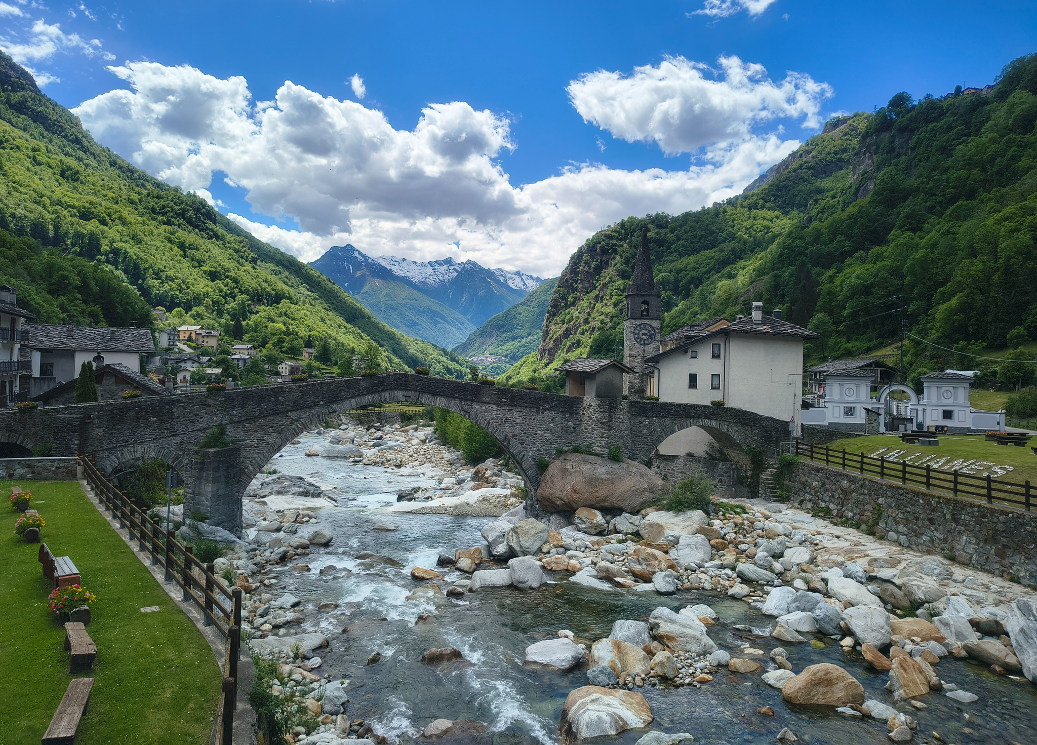
Three days on the Cammino Balteo – The historic Aosta Valley

Cammino Balteo – castles, vineyards and trails of the Aosta Valley

Paths, castles and views of Italy’s Aosta Valley – Cammino Balteo
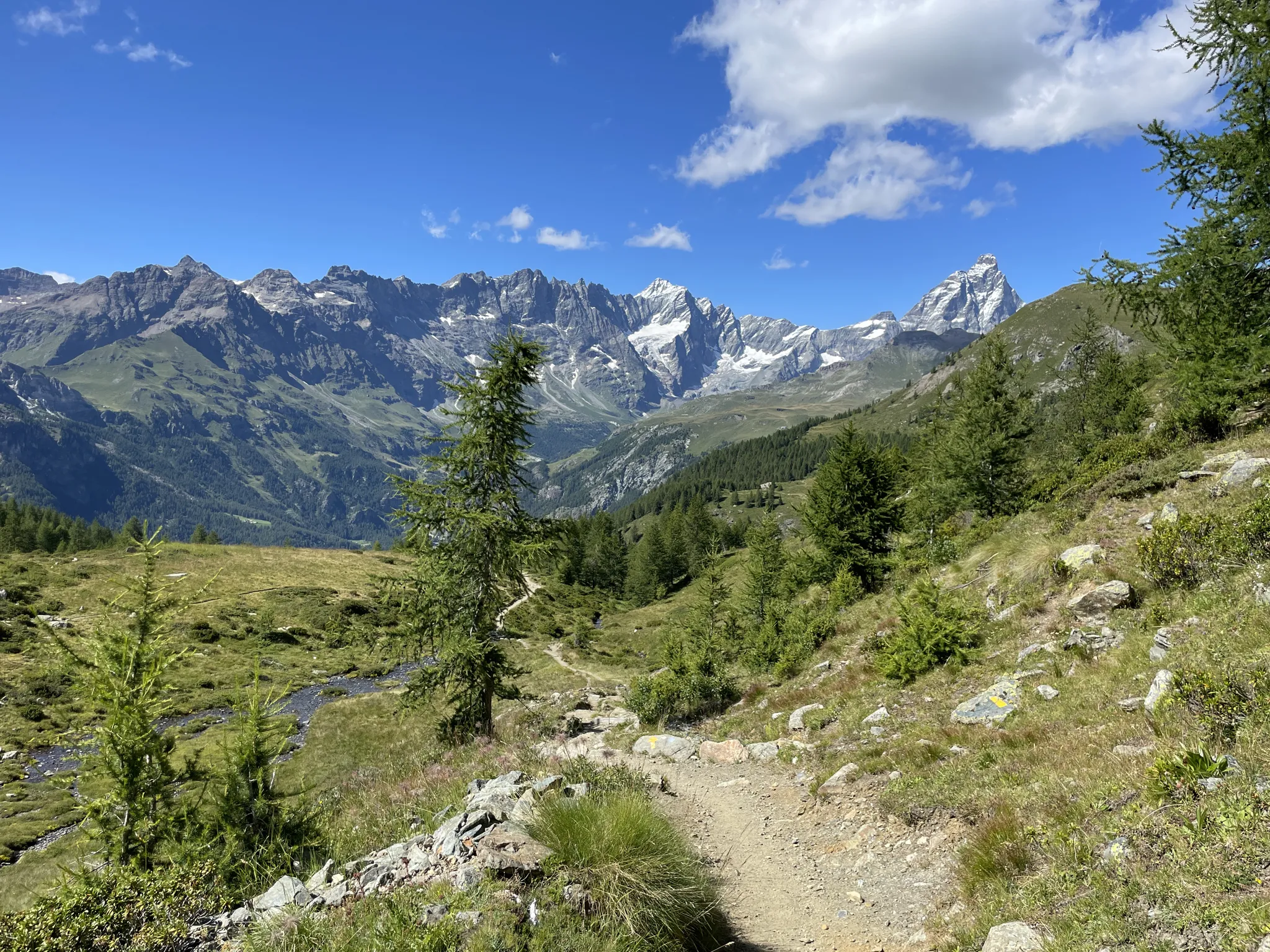
Running with the giants – Alta Via 1 in the Aosta Valley
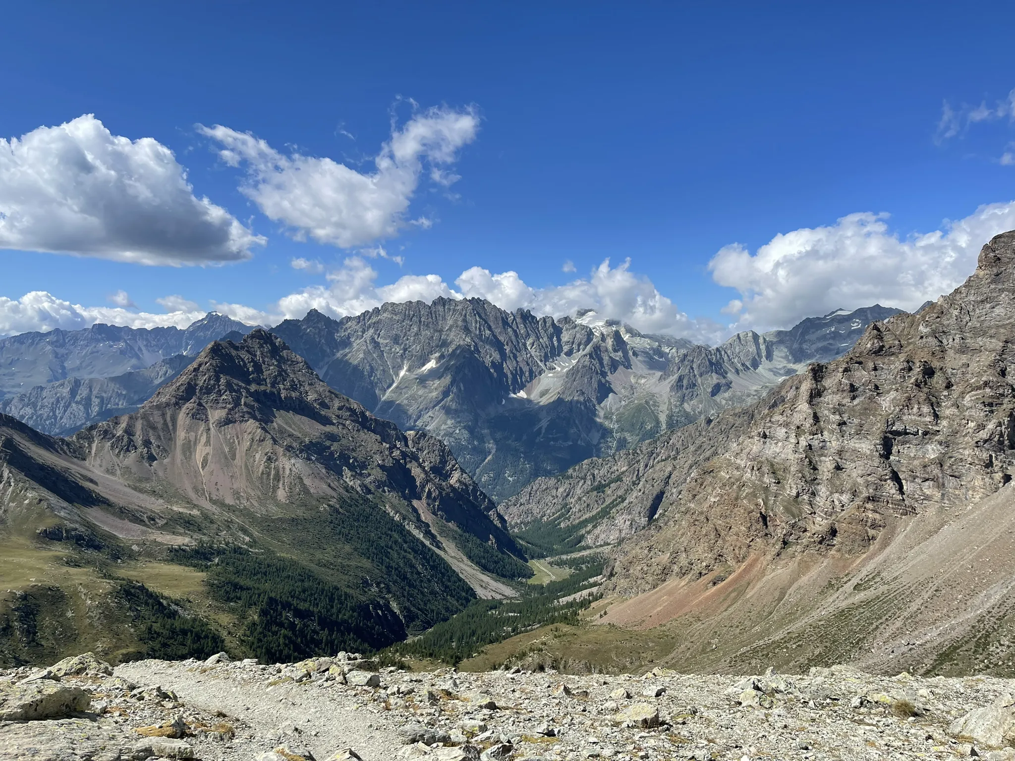
Running between the giants of the Alps – Tor des Géants

A walk among Italian giants — Aosta Valley High Route 1

Traffic-free bike rides around Fontainemore

Traffic-free bike rides around Fontainemore


Tips from the Community

The Forte di Bard seen from the bridge over the Dora Baltea river offers one of the most iconic and photographed views in the Aosta Valley. This spectacular perspective captures the imposing, craggy fortress that dominates the village below and the river waters.
0
0

The Castello di Suzey stands on an inaccessible rocky spur, in a position that in the 14th century guaranteed absolute control over the transit of the Lys valley. The structure is a classic example of a medieval enclosure castle, dominated by a massive quadrangular tower and surrounded by the remains of a fortified village now swallowed by vegetation. This stronghold was the headquarters of the lords of Suzey, a branch of the Vallaise known for their bellicose nature and independence from central powers. A famous anecdote concerns the family's determination to defend their privileges: it is said that the lords of Suzey imposed such severe transit taxes that they sparked fierce disputes with merchants and neighboring communities, turning the castle into a sort of armed customs post. A local legend also tells that the castle was connected to the other Vallaise properties in Perloz via a network of secret passages dug directly into the rock, used to move troops and riches away from prying eyes during sieges. Another popular tale describes the castle's end as a dramatic event: a devastating fire, which broke out during an enemy attack, would have marked the definitive abandonment of the structure.
0
0

The Serra d'Ivrea allows us, the inhabitants of the plain, to enjoy climbs and descents and woods, both on road bikes and mountain bikes. A truly enchanting place
0
0

A green lung with benches in the middle of a hill
0
0

Beautiful bridge connecting Hone to Bard. Magnificent view of the fort.
2
0

Caos Pub is a great choice for a relaxing break after a bike ride, where you can enjoy a coffee or an aperitif in a welcoming environment. Perfect for a moment of recovery, the place offers simple and tasty dishes, along with a selection of beers. Its informal atmosphere makes it ideal for those looking for a place to relax with friends after a bike ride. More info on: https://www.facebook.com/CaosPub/?locale=it_IT
0
0

While traveling along the Via Francigena, on the stretch from Arnad to Bard, you cross this characteristic three-arched pedestrian bridge. On the left orogr. area with a bench for rest.
1
0

The Roman road of the Gauls, built to connect Rome with the Rhone Valley, has in the Donnas section one of its most characteristic and spectacular points, carved into the living rock for a length of 221 meters. At a place where in antiquity the rocky promontory plunged into the waters of the Dora, the Romans launched a real challenge to nature by carving a living rock on which they could draw perfectly vertical walls and in whose womb they carved the roadbed. Exciting and unusual, here the Via delle Gallie gives its best by offering the spectacle of a vaulted passage 4 meters thick, 4 meters high and almost 3 meters wide which eloquently illustrates the amount of rock removed and shows all the refinement of a road engineering that has never been reached again until viaducts and modern tunnels. In the Middle Ages it served as the gate of the village, which was closed at night; the other defenses were natural: on one side the mountain and on the other the river. A fundamental road, which has been used a lot over the centuries, as evidenced by the deep ruts left by the passage of carts and the wear of the walking surface which has been patched and repaired at various points over time. A little further on, on the right, we recognize the excellent profile of a milestone, also spared in the rocky bank, which informs us of the distance to Augusta Praetoria (the current city of Aosta): XXXVI miles (about 54 km).
6
0
Frequently Asked Questions
How many no-traffic road cycling routes are available around Fontainemore?
There are currently 6 dedicated no-traffic road cycling routes around Fontainemore featured in this guide. All of these routes are classified as moderate difficulty, offering a good challenge for most road cyclists.
What kind of landscapes can I expect on these traffic-free road cycling routes?
The routes traverse the stunning alpine landscapes of the Aosta Valley, offering dramatic mountain scenery, preserved rural areas, and often follow the Lys Valley and Lys River. You'll encounter significant elevation changes, larch forests, and alpine meadows, especially within the Mont Mars Nature Reserve.
Are there any circular no-traffic road cycling routes in the area?
Yes, several routes are designed as loops, allowing you to start and finish in the same location. Examples include the Trovinasse loop from Trovinasse, the Oropa Sanctuary – Waterfall in the Forest loop from Oropa, and the Colle Tzecore Picnic Area – Col d'Arlaz loop from Challand-Saint-Anselme.
What are some notable landmarks or attractions I might see along these routes?
You can discover a variety of cultural and natural attractions. The Oropa Sanctuary – Waterfall in the Forest loop from Oropa, for instance, passes by the Oropa Sanctuary. Other routes might take you near traditional alpine villages, the medieval Ponte di Fontainemore, or offer views of the Mont Mars Nature Reserve. For specific natural highlights, consider visiting the Oropa Stream Waterfall or the Rio della Furia Waterfalls.
What is the best time of year for traffic-free road cycling in Fontainemore?
The best time for road cycling in Fontainemore is generally from late spring through early autumn (May to October). During these months, the weather is typically more stable, and the higher mountain passes are clear of snow, offering optimal conditions to enjoy the scenic routes and challenging climbs.
Are there any routes suitable for beginners looking for traffic-free road cycling?
While all routes in this guide are rated as moderate due to the mountainous terrain and elevation changes, they are chosen for their low traffic. For those new to road cycling in an alpine environment, routes like the Le Lame di Valle – Monviso from Favaro loop from Sordevolo offer a substantial distance with a slightly lower elevation gain compared to some others, making it a good starting point to build confidence.
What do other road cyclists say about the no-traffic routes in Fontainemore?
The komoot community highly rates the road cycling experience in Fontainemore, with an average score of 4.45 stars from 169 ratings. Cyclists often praise the quiet roads, the challenging climbs, and the breathtaking panoramic views of the Aosta Valley and Mont Mars Nature Reserve.
Are there any routes that offer views of waterfalls?
Yes, the region is home to several beautiful waterfalls. The Oropa Sanctuary – Waterfall in the Forest loop from Oropa is one such route that incorporates a waterfall into its name. You can also find highlights like the Oropa Stream Waterfall and the Cascata del Bouro near some of the cycling paths.
What is the typical elevation gain on these traffic-free road cycling routes?
The no-traffic road cycling routes around Fontainemore feature significant elevation gains, reflecting the alpine environment. You can expect ascents ranging from approximately 390 meters to nearly 900 meters on a single route. For example, the Colle Tzecore da Tilly route has an elevation gain of about 660 meters, while the Colle Tzecore Picnic Area – Col d'Arlaz loop from Challand-Saint-Anselme climbs around 895 meters.
Can I find any historical sites or castles near the cycling routes?
Absolutely. The Aosta Valley is rich in history. While cycling, you might pass by traditional alpine architecture in villages. For more prominent historical sites, consider visiting nearby castles such as Fort Bard or Castello Vallaise, which are accessible from the Fontainemore area.
What is the average distance of the no-traffic road cycling routes?
The routes in this guide vary in length, but you can expect distances typically ranging from 15 to 25 kilometers. For instance, the Colle Tzecore da Tilly is about 15.4 km, while the Colle Tzecore Picnic Area – Col d'Arlaz loop from Challand-Saint-Anselme extends to approximately 25 km.
Most popular routes around Fontainemore
Most popular attractions around Fontainemore

Get inspired with the komoot mobile app


Explore more
Browse the best Road cycling routes in other regions.
