The best traffic-free bike rides around Teggiano
4.4
(69)
900
riders
20
rides
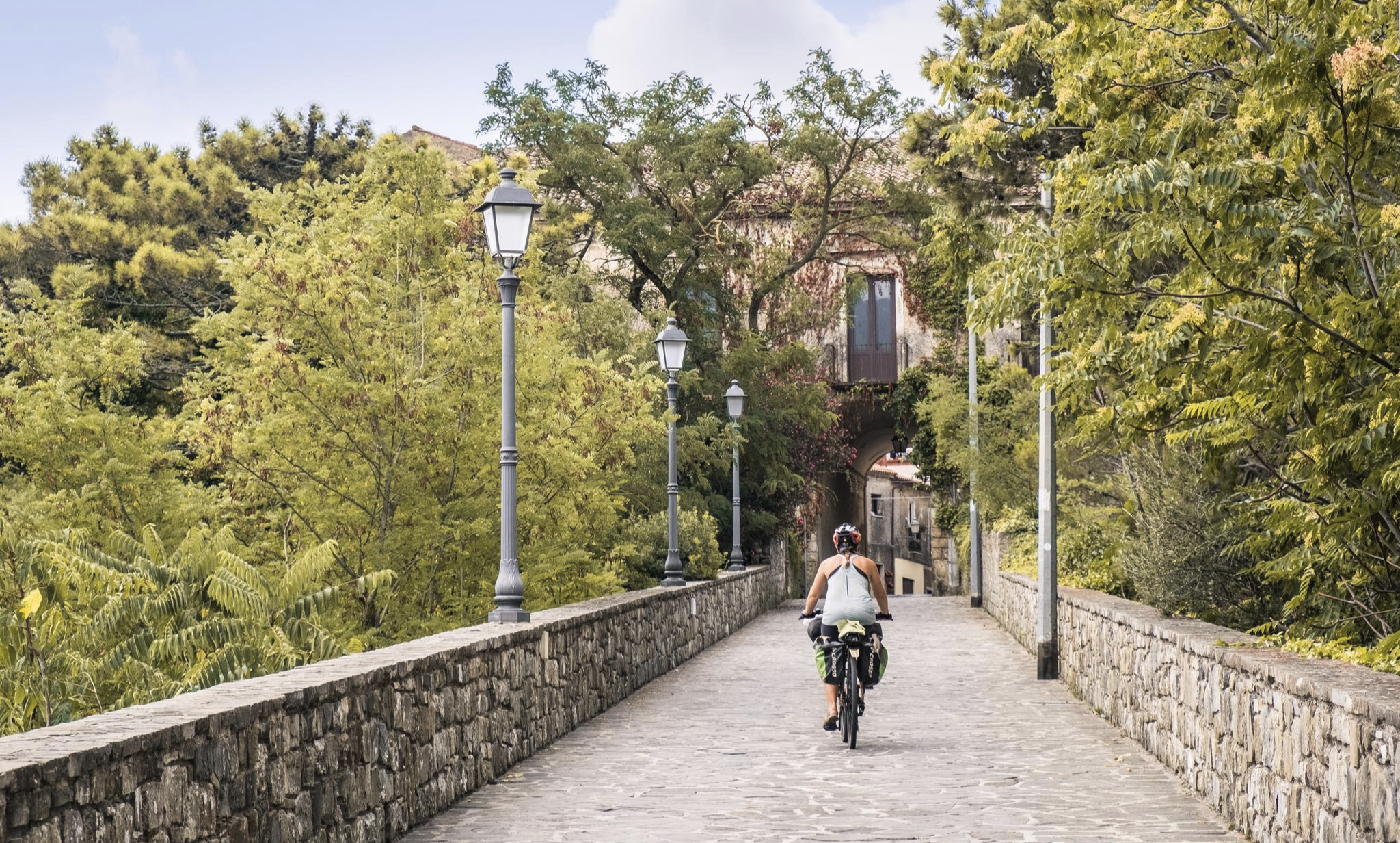
No traffic road cycling routes around Teggiano are set within the UNESCO World Heritage site of Cilento, Vallo di Diano and Alburni National Park. The region is characterized by its hilltop position at approximately 2,000 feet (600 meters) above sea level, offering panoramic views over the vast plains of the Vallo di Diano. Cyclists encounter diverse topography, ranging from challenging climbs into the Cilento mountains to rewarding descents through areas with lush Mediterranean vegetation and olive groves.
Best no traffic…
Last updated: July 13, 2026
18
riders
53.9km
02:46
690m
690m
Moderate road ride. Good fitness required. Some segments of this route may be unpaved and difficult to ride.
14
riders
50.3km
03:00
1,220m
1,230m
Hard road ride. Very good fitness required. Some segments of this route may be unpaved and difficult to ride.

Sign up for free
5.0
(1)
11
riders
43.7km
02:21
700m
700m
Moderate road ride. Good fitness required. Some segments of this route may be unpaved and difficult to ride.
8
riders
30.9km
01:25
260m
270m
Easy road ride. Great for any fitness level. Mostly well-paved surfaces and easy to ride.
7
riders
101km
05:56
2,190m
2,190m
Hard road ride. Very good fitness required. Some segments of this route may be unpaved and difficult to ride.
Get access to more routes and recommendations from other explorers.
Sign up for free
Already have an account?
Our route recommendations are based on thousands of hikes, rides, and runs completed by other people on komoot.
Start today with a free account
Your next adventure awaits.
Login or Signup

Other adventures around Teggiano

Tips from the Community

Rifugio Motola is a historic structure nestled in the greenery of the Cilento, Vallo di Diano and Alburni National Park. Main features Origin: Built in 1950 as a barracks for the Forestry Corps. Altitude: Located at 1043 meters above sea level. Panorama: View of the Sella del Corticato and Monte Cocuzzo delle Puglie (1428m). Beds: 8 beds available inside the structure by contacting the managing association. Camping: Possibility to stay overnight outside in a tent.
0
0

It's the starting point for several trails on Mount Motola and Mount Vivo. It's located along the "Sentiero Italia," which, as its name suggests, crosses the entire peninsula. Interestingly, the refuge is easily accessible by car; there's parking 50 meters before the refuge, just as the dirt road begins.
1
0

Sacco is a small town nestled on the slopes of Mount Motola, just steps from the Sammaro Gorges. The municipality recently opened a rest area for those traveling by bicycle, on foot, or in a camper. The village is truly charming, and the rest area is very convenient!
1
0
Petina is perhaps one of the most mountainous villages in Campania. It sits directly on the slopes of the Alburni Mountains, completely surrounded by centuries-old chestnut groves. The village is very small and offers a grocery store, almost always open and well-stocked, a restaurant renowned for its local dishes, and a bar with tables in a beautiful courtyard.
1
0

I'd say it's one of the most beautiful roads in Italy. The descent towards Teggiano is breathtaking.
0
0

Uninhabited town at the foot of the new town
1
0
Old Roscigno, the UNESCO heritage museum town https://www.ecoturismocampania.it/roscigno-vecchia-paese-museo-patrimonio-unesco-parco-del-cilento/
1
0
The Corticato saddle is one of the most spectacular passes in Cilento. The climb from Sacco is long and pleasant, the road has literally been carved into the rock. The saddle is wide and acts as a watershed between Cilento and Vallo di Diano. In June it is tinged with yellow with the fragrant brooms.
2
1
Frequently Asked Questions
How many no-traffic road cycling routes are available around Teggiano?
There are 15 dedicated no-traffic road cycling routes around Teggiano, catering to various skill levels. You'll find 3 easy routes, 9 moderate, and 3 challenging options to explore the beautiful Vallo di Diano and Cilento National Park.
What kind of terrain can I expect on these no-traffic road cycling routes?
The routes around Teggiano offer a diverse topography, from the vast plains of the Vallo di Diano to challenging climbs into the Cilento mountains. You'll cycle through landscapes adorned with fragrant Mediterranean maquis, shady olive groves, and vineyards, often on quiet, asphalted roads. Teggiano itself is situated at approximately 600 meters above sea level, ensuring varied elevation profiles.
What are the best times of year to go road cycling in Teggiano to avoid traffic?
The optimal seasons for road cycling in Teggiano, particularly for enjoying low-traffic routes, are typically from April to June when nature is vibrant, and from September to November, offering picturesque autumn colors. These periods generally provide pleasant weather conditions for exploring the region's quiet roads.
Are there any easy, no-traffic road cycling routes suitable for beginners or families?
Yes, there are easy routes perfect for those looking for a more relaxed ride. One such option is the Castello Sanseverino loop from Teggiano, which is approximately 30 km long with a manageable elevation gain of around 258 meters. This route allows you to enjoy the scenery without significant challenges.
What scenic viewpoints or natural features can I see along the no-traffic routes?
Many routes offer amazing views of the surrounding mountains and the vast plains of the Vallo di Diano. You might encounter natural features like the Sammaro Gorge or pass near the Calore River. The region is part of the Cilento National Park, known for its wild, untamed forests and crystal-clear waters.
What historical landmarks or attractions can I visit while cycling around Teggiano?
Teggiano itself is a beautifully preserved medieval village, often called an 'open-air museum.' Along the routes, you can discover historical sites such as the Sanctuary of Madonna della Neve, the ancient Roman bridge remnants at the foot of Teggiano's hill, or the sumptuous Baroque complex of the Padula Charterhouse. The abandoned village of Roscigno Vecchia is also a unique cultural detour.
Are there any circular no-traffic road cycling routes available?
Yes, many of the routes are designed as loops, allowing you to start and end in the same location. For example, the Roadbike loop from Sala Consilina offers a moderate 43 km ride, while the more challenging Roscigno Vecchia loop from Atena Lucana covers about 100 km with significant elevation.
What do other road cyclists enjoy most about cycling in Teggiano?
The area is highly rated by the komoot community, with an average score of 4.97 stars from 51 ratings. Reviewers often praise the region's amazing natural beauty, the spectacular panoramic views of the Vallo di Diano, and the tranquility of the low-traffic roads, especially those that are part of the renowned 'Via Silente'.
Is there a particularly long or challenging no-traffic route for experienced cyclists?
For experienced cyclists seeking a challenge, the Roscigno Vecchia loop from Atena Lucana is an excellent option. This difficult route spans over 100 km with an elevation gain of more than 2,100 meters, taking you through varied landscapes and offering a truly immersive experience.
Can I access these routes using public transport, or is parking available?
While specific public transport links directly to trailheads can vary, Teggiano and nearby towns like Sala Consilina often have bus connections. For those driving, parking is generally available in the towns where routes typically start. It's advisable to check local parking options in advance, especially in smaller villages.
Are there any routes that pass through the Cilento National Park?
Yes, Teggiano is nestled within the UNESCO World Heritage site of Cilento, Vallo di Diano and Alburni National Park. Many routes, including sections of the famous 'Via Silente,' traverse the park's diverse landscapes, offering an immersive experience through its wild forests, mountains like Monte Cervati, and pristine natural areas.
Most popular attractions around Teggiano

Get inspired with the komoot mobile app


Explore more
Browse the best Road cycling routes in other regions.
