The best traffic-free bike rides in Sierra Nevada
4.7
(594)
23,413
riders
23
rides
No traffic road cycling routes in Sierra Nevada traverse a landscape characterized by dramatic glacially-scoured canyons, towering granite peaks, and deep valleys. The region features extensive forests, crystal-clear alpine lakes, and varied terrain, offering routes from valley floors to high-altitude passes. Cyclists encounter significant elevation changes, with many roads winding through mountainous areas. This diverse environment provides a range of challenges and scenic experiences for road cyclists.
Best no traffic road cycling routes in Sierra Nevada
- The most popular no…
Last updated: October 20, 2026
4.5
(2)
20
riders
60.8km
03:08
1,030m
1,030m
Hard road ride. Very good fitness required. Mostly well-paved surfaces and easy to ride.
5.0
(2)
115
riders
78.4km
04:37
1,980m
1,970m
Hard road ride. Very good fitness required. Mostly well-paved surfaces and easy to ride.

5.0
(1)
39
riders
39.4km
02:52
1,250m
1,250m
Hard road ride. Very good fitness required. Mostly well-paved surfaces and easy to ride.
30
riders
106km
04:31
750m
750m
Moderate road ride. Good fitness required. Some segments of this route may be unpaved and difficult to ride.
21
riders
36.6km
01:55
680m
680m
Moderate road ride. Good fitness required. Mostly well-paved surfaces and easy to ride.
Get access to more routes and recommendations from other explorers.
Already have an account?
Our route recommendations are based on thousands of hikes, rides, and runs completed by other people on komoot.
Start today with a free account
Your next adventure awaits.
Popular around Sierra Nevada
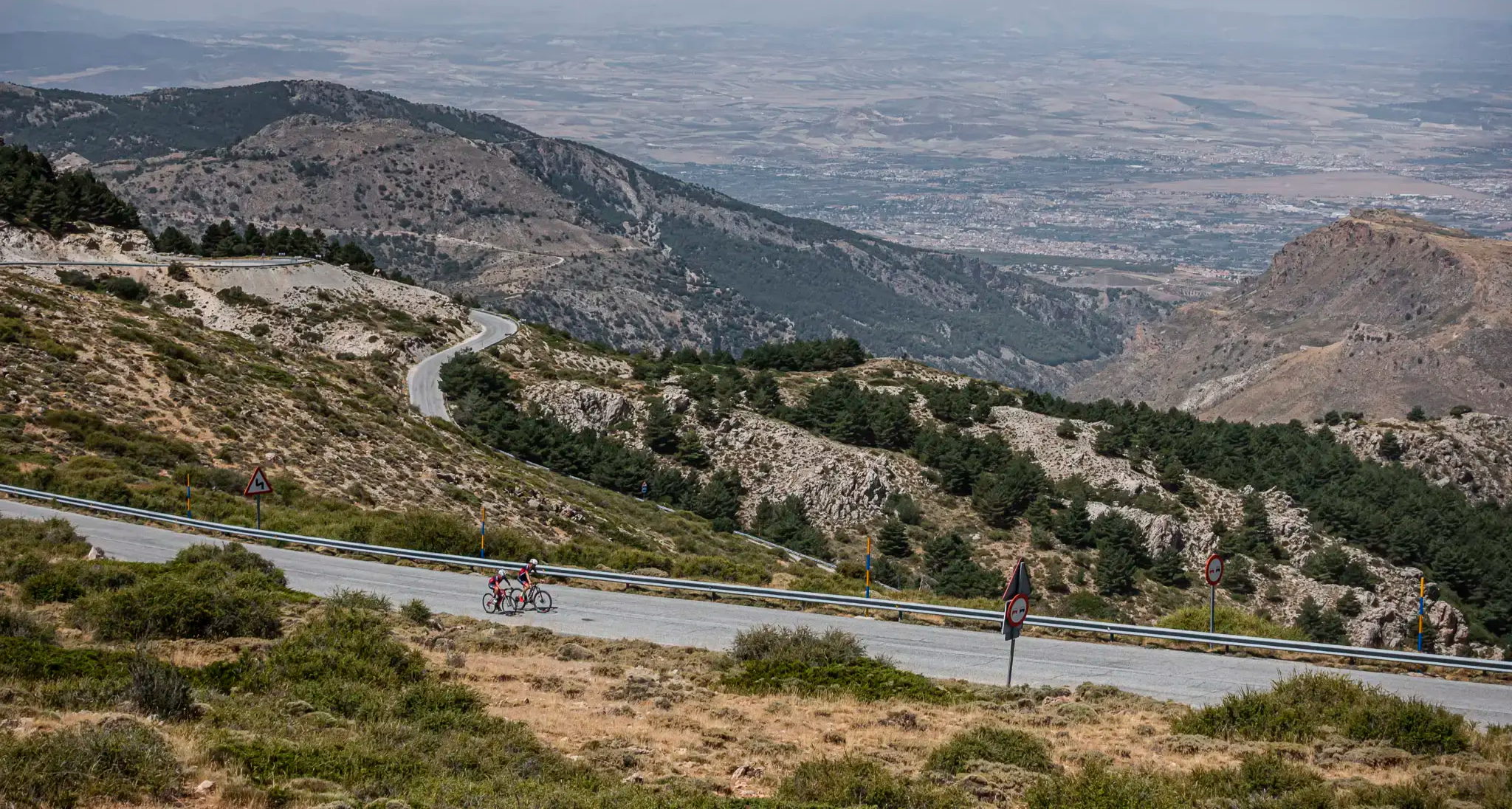
The challenge of the south - Routes through Sierra Nevada
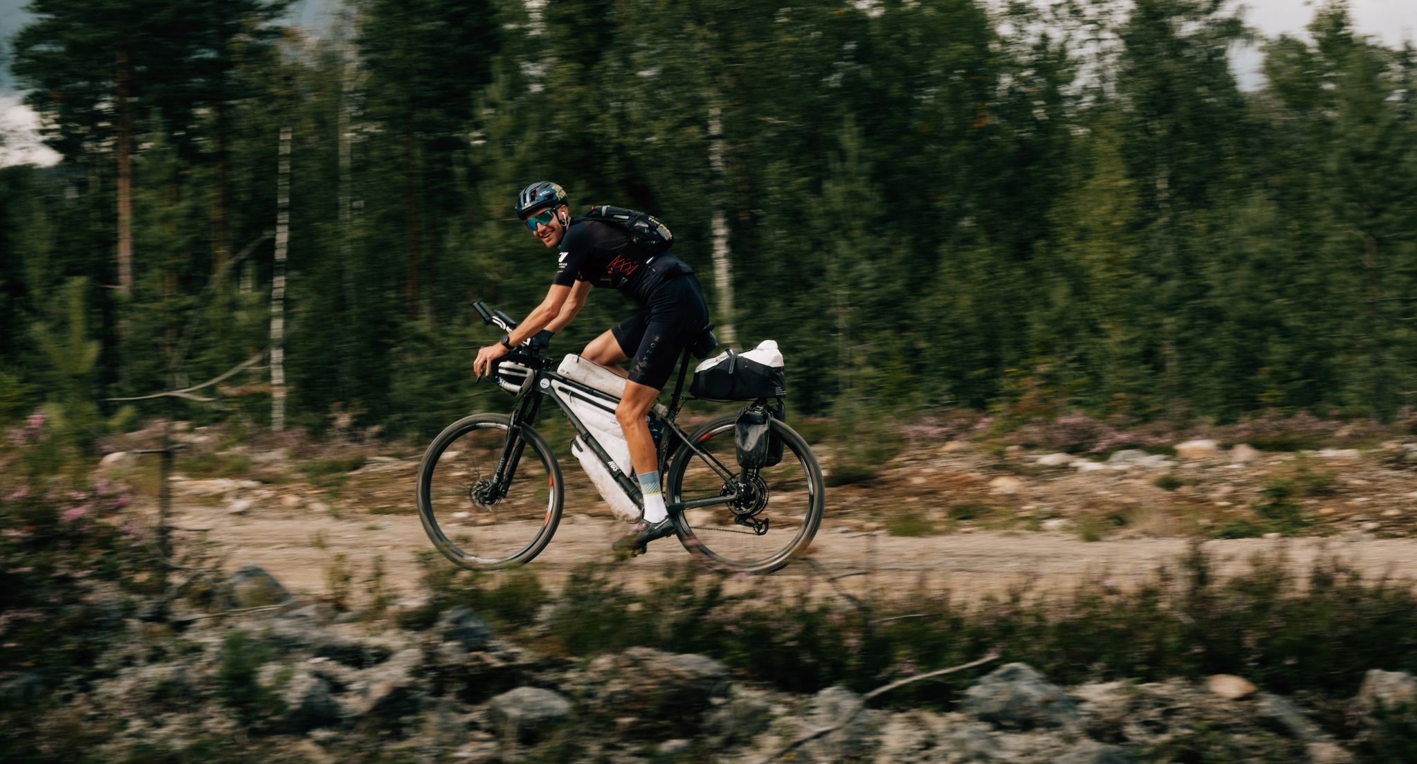
European D̶I̶V̶I̶D̶E̶ Connect Trail Project – a journey across Europe
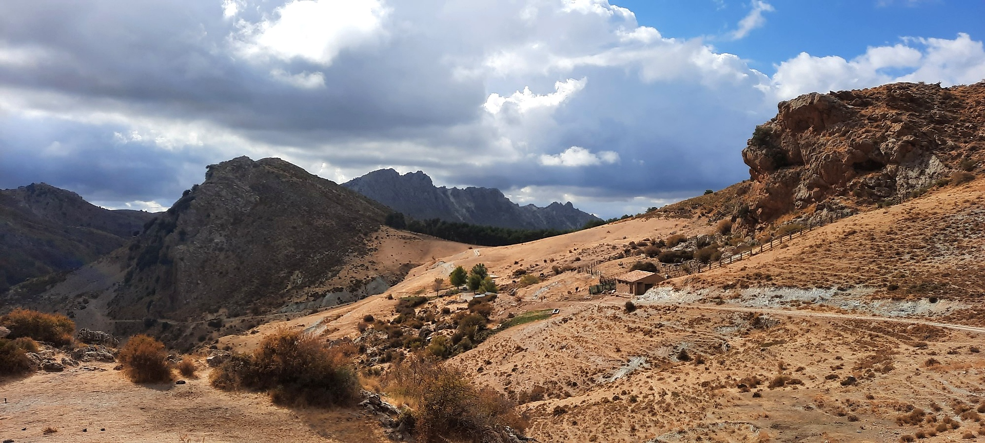
Sulayr Trail (GR 240) — 300 kilometers in the mountain of the sun
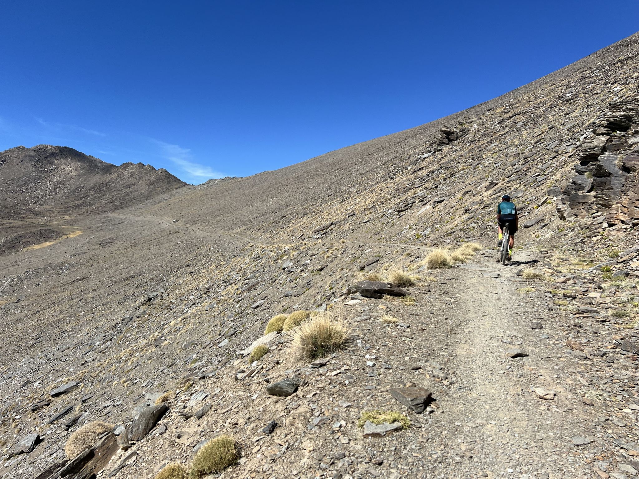
Badlands 2024 – extreme experiences and a sense of joy
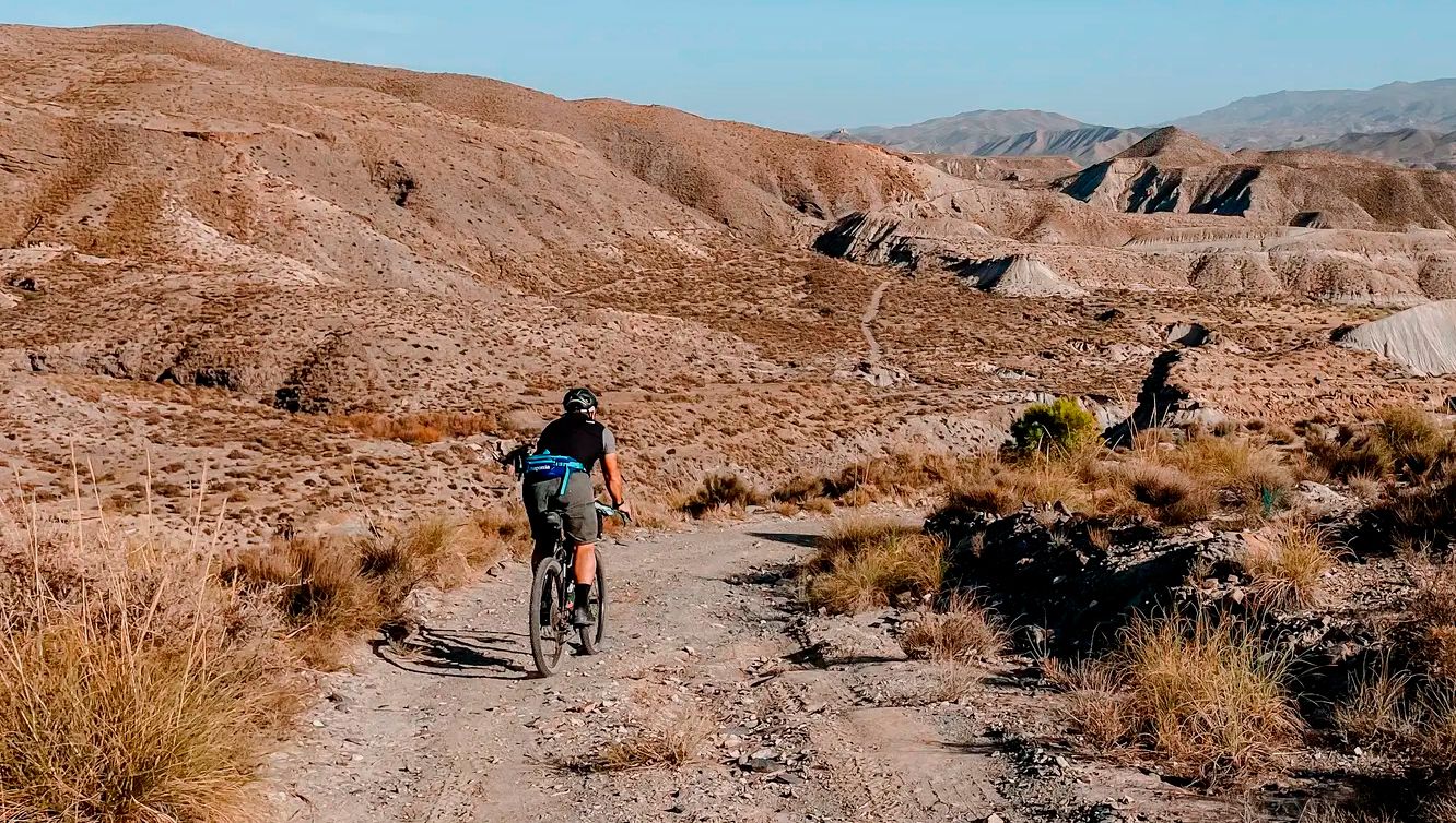
TransAlmería Gravel – Summits, dry riverbeds and deserts
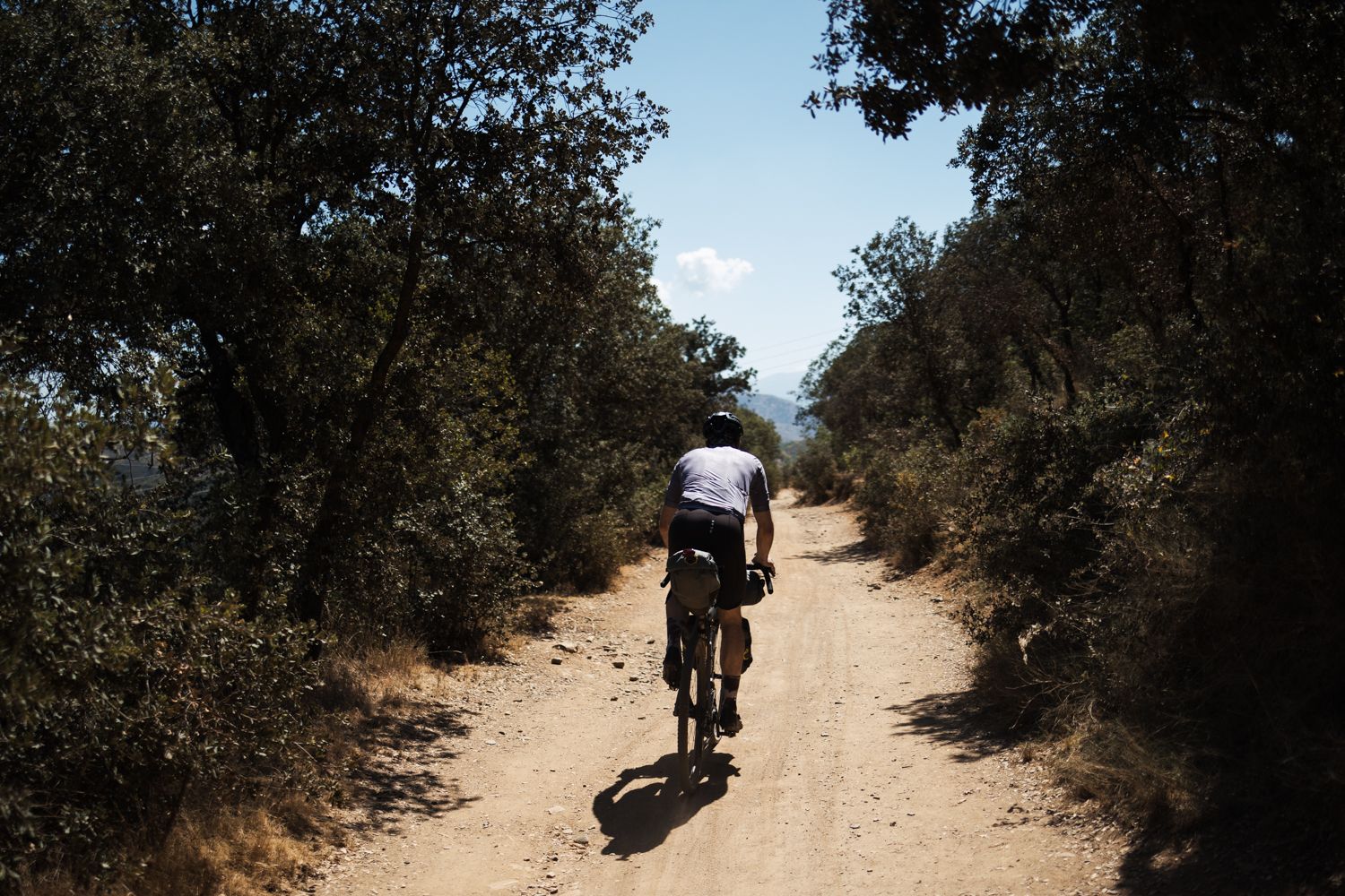
Mozarabic Way to Santiago – Gravel between two worlds

Bikepacking the mountains and deserts of Andalucía

On the road to the sun — bikepacking to southeast Spain
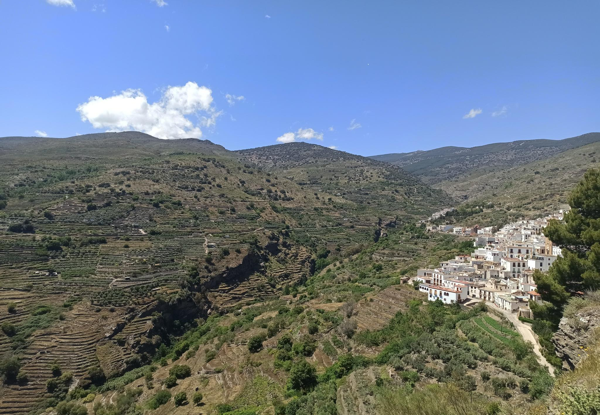
Among white villages - Path of the Alpujarra (GR 142)
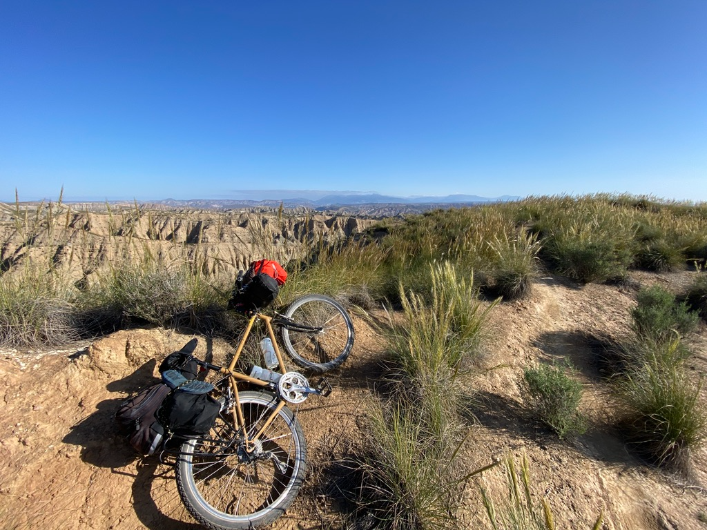
Mountain, Desert and Sea — Andalusian Trilogy
Other adventures in Sierra Nevada


Tips from the Community

The road that connects Carataunas with Pampaneira, in the Alpujarra Granadina, crosses one of the most representative landscapes of the southern slopes of Sierra Nevada. From numerous points along the route, you can enjoy panoramic views of deep ravines, traditional farming terraces, and white villages staggered on the mountain. Take the opportunity to visit Pampaneira, it is worth it.
5
0

Avoid the short descent to Güejar Sierra via today's route, road impassable
0
0

Órgiva is a charming Spanish municipality located in the province of Granada, in Andalusia, and is historically considered the capital and administrative center of the western Alpujarra. This town of about 6,000 inhabitants stands at an altitude of 450 meters in the fertile valley of the Guadalfeo River, right at the foot of the Sierra Nevada Natural Park.
0
1
The municipality of Órgiva is part of the Sierra Nevada Natural Park and is located on its southern slopes. Known as the capital of the Alpujarra region of Granada, it is an ideal destination for combining culture, nature, and gastronomy.
11
0

Viewpoint on the town of Trevélez along the A-4132
0
0

Güéjar Sierra is a picturesque Granada town at the foot of the Sierra Nevada, which preserves the charm of its narrow streets and whitewashed houses. Surrounded by mountains, viewpoints, and trails.
1
0

Tower of San Miguel (Cabo de Gata) Almeria
2
0

A must-visit place. Not only to walk around and taste its gastronomy but also to enjoy its nature.
0
0
Frequently Asked Questions
How many no-traffic road cycling routes are available in the Sierra Nevada?
The Sierra Nevada offers a significant number of traffic-free road cycling routes. Our guide features over 70 routes, ranging from easy to difficult, ensuring options for various skill levels.
Are there easy, traffic-free road cycling routes suitable for beginners in the Sierra Nevada?
Yes, the Sierra Nevada has several easy, traffic-free road cycling routes perfect for beginners. These routes often feature gentler gradients and well-maintained surfaces, allowing for a relaxed introduction to the region's beautiful scenery. You can find 10 easy routes in our collection.
What is the best time of year to enjoy traffic-free road cycling in the Sierra Nevada?
The best time for traffic-free road cycling in the Sierra Nevada generally depends on the elevation. Lower valleys and the Eastern Sierra often offer year-round cycling. However, for higher mountain passes and routes, late spring through early autumn (May to October) is ideal, as roads are typically clear of snow and weather conditions are more stable. Always check local conditions and seasonal road closures before you go.
Are there any circular no-traffic road cycling routes in the Sierra Nevada?
Yes, many of the traffic-free road cycling routes in the Sierra Nevada are designed as loops, allowing you to start and end at the same point. An example is the challenging route Valleys of the Nacimiento and Andarax Rivers — circular from Alhabia, which offers a rewarding experience through diverse landscapes.
What kind of scenic viewpoints can I expect on these no-traffic cycling routes?
The Sierra Nevada's traffic-free routes offer breathtaking scenic viewpoints, from towering granite peaks and crystal-clear alpine lakes to deep valleys and ancient forests. You might encounter views of majestic mountains like Mount Whitney, the highest peak in the contiguous U.S., or stunning lakes such as Lake Tahoe. Routes often wind through diverse ecosystems, providing panoramic vistas at every turn.
Are there any waterfalls or natural attractions along the no-traffic road cycling routes?
Yes, the Sierra Nevada is rich in natural attractions. While cycling, you might find yourself near impressive waterfalls or other natural wonders. For example, you could explore areas close to Cascada de los Bolos or Lavaderos de la Reina. The region also features unique geological formations and ancient forests.
What do other road cyclists enjoy most about the no-traffic routes in Sierra Nevada?
The no-traffic road cycling routes in Sierra Nevada are highly rated by the komoot community, with an average score of 4.75 stars. Reviewers often praise the stunning, diverse landscapes, the challenge of the climbs, and the tranquility of cycling on roads with minimal vehicle traffic, allowing for a truly immersive experience in nature.
Are there any challenging no-traffic road cycling routes for advanced cyclists?
Absolutely. The Sierra Nevada is renowned for its challenging climbs and demanding routes, even on traffic-free roads. Advanced cyclists can find routes with significant elevation gains, such as the Órgiva – Bubión Village loop from Trevélez, which features nearly 2000 meters of ascent. These routes often lead to high-altitude destinations like Bishop Creek Canyon or Whitney Portal.
Can I find amenities like cafes or accommodation near these quiet road cycling trails?
Yes, while many routes offer a sense of wilderness, you can often find amenities in nearby towns and villages. Areas like Bishop, Mammoth Lakes, and towns around Lake Tahoe provide various services, including cafes, restaurants, and accommodation options. It's always a good idea to plan your route and check for available services in advance, especially for longer rides.
Are there any huts or shelters available along the no-traffic road cycling routes?
While primarily focused on road cycling, some routes may pass near areas with huts or shelters, particularly in more remote mountain regions. For example, you might find yourself close to Carihuela Bivouac Shelter or San Francisco Hostel. These can be useful for longer expeditions or as emergency shelters.
What are some notable villages or towns I can cycle through on these routes?
Many traffic-free routes connect charming villages and towns, offering a glimpse into the local culture and providing opportunities for rest stops. For instance, the route Villages of the Alpujarras: Paterna, Mairena and Ugíjar takes you through several picturesque settlements, allowing you to experience the unique character of the region.
How can I find parking for these quiet road cycling trails in the Sierra Nevada?
Parking availability varies by trailhead and location. Many popular cycling areas, especially near national parks or larger towns, offer designated parking lots. For more remote routes, roadside parking might be an option, but always ensure you are parking legally and safely. Checking specific route details or local visitor information centers can provide precise parking guidance.
Most popular routes in Sierra Nevada
Most popular attractions in Sierra Nevada

Get inspired with the komoot mobile app


Explore more
Browse the best Road cycling routes in other regions.
