The best gravel rides in Sierra Nevada
4.7
(124)
2,140
riders
212
rides
Gravel biking in Sierra Nevada offers diverse terrain across a mountainous region characterized by high peaks, deep valleys, and varied ecosystems. The landscape includes pine forests, scrubland, and open, rocky areas, providing a range of surfaces for gravel bike trails. Riders can expect significant elevation changes, with routes often traversing remote areas and unpaved roads. The region's geology contributes to a mix of challenging climbs and scenic paths through both rugged, exposed landscapes and more sheltered areas.
Best gravel bike trails in Sierra Nevada
- The most popular gravel bike trail is Pinos Genil village – Hoya de la Mora loop from La Zubia, a 56.8 miles (91.5 km) trail that takes 6 hours 38 minutes to complete. This difficult route features substantial elevation gain through mountain landscapes.
- Another top favourite among local gravel bikers is Bérchules – View of Narila and Cádiar loop from Juviles, a difficult 30.1 miles (48.5 km) path. This route leads through mountain villages and offers panoramic views.
- Local gravel bikers also love the Rambla de los Yesos – Alboloduy Village and Church loop from Alboloduy, a 18.9 miles (30.5 km) trail leading through varied terrain, often completed in about 2 hours 20 minutes.
- Gravel biking in Sierra Nevada is defined by high-altitude mountain passes, forested sections, and open, rocky trails. The network offers options ranging from long, challenging routes to more accessible paths for various skill levels.
- The routes in Sierra Nevada are highly rated by the komoot community with an average score of 4.7 stars from over 70 reviews. More than 1,400 gravel bikers have used komoot to explore Sierra Nevada's varied terrain.
Last updated: August 27, 2026
4.4
(7)
167
riders
44.4km
02:59
580m
580m
Hard gravel ride. Very good fitness required. Mostly paved surfaces. Suitable for all skill levels.
5.0
(1)
11
riders
36.9km
03:44
1,250m
1,250m
Hard gravel ride. Very good fitness required. Mostly paved surfaces. Suitable for all skill levels.

Sign up for free
3
riders
61.7km
05:39
1,190m
1,200m
Hard gravel ride. Very good fitness required. Mostly paved surfaces. Suitable for all skill levels.
4.0
(1)
15
riders
55.9km
04:00
1,040m
1,040m
Hard gravel ride. Very good fitness required. Mostly paved surfaces. Suitable for all skill levels.
7
riders
41.0km
04:01
1,140m
1,150m
Hard gravel ride. Very good fitness required. Mostly paved surfaces. Suitable for all skill levels.
Get access to more routes and recommendations from other explorers.
Sign up for free
Already have an account?
Our route recommendations are based on thousands of hikes, rides, and runs completed by other people on komoot.
Start today with a free account
Your next adventure awaits.
Login or Signup
Popular around Sierra Nevada
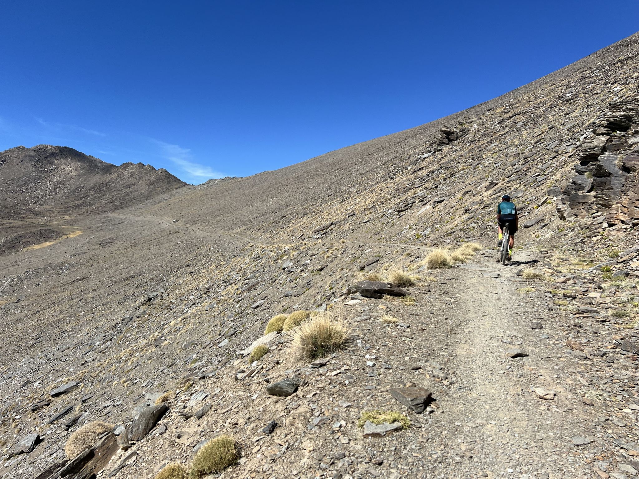
Badlands 2024 – extreme experiences and a sense of joy
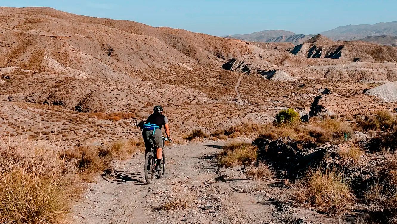
TransAlmería Gravel – Summits, dry riverbeds and deserts
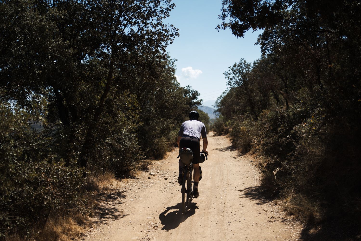
Mozarabic Way to Santiago – Gravel between two worlds

Bikepacking the mountains and deserts of Andalucía

On the road to the sun — bikepacking to southeast Spain
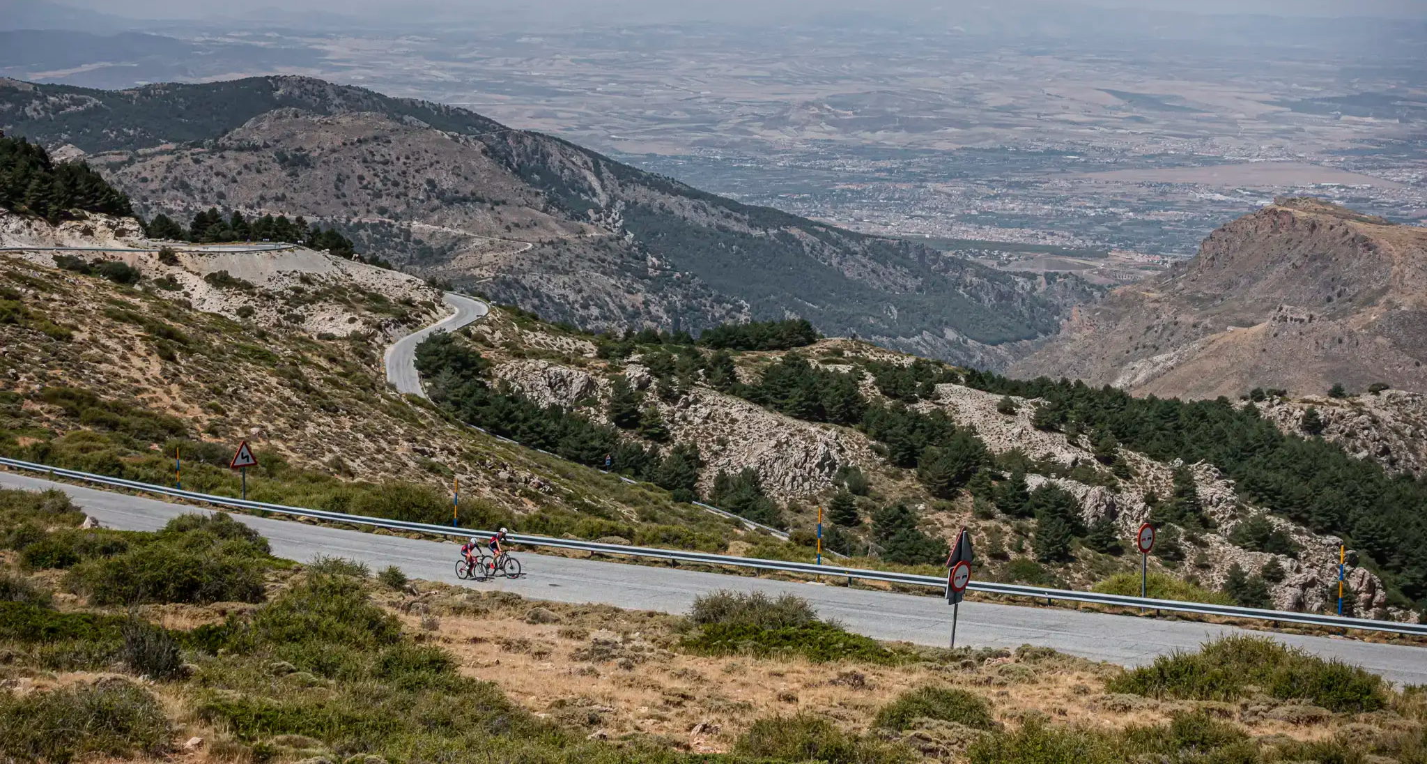
The challenge of the south - Routes through Sierra Nevada
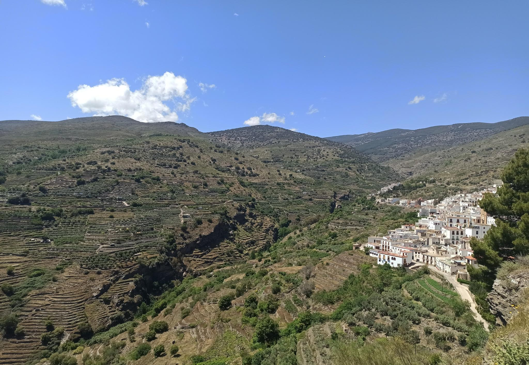
Among white villages - Path of the Alpujarra (GR 142)
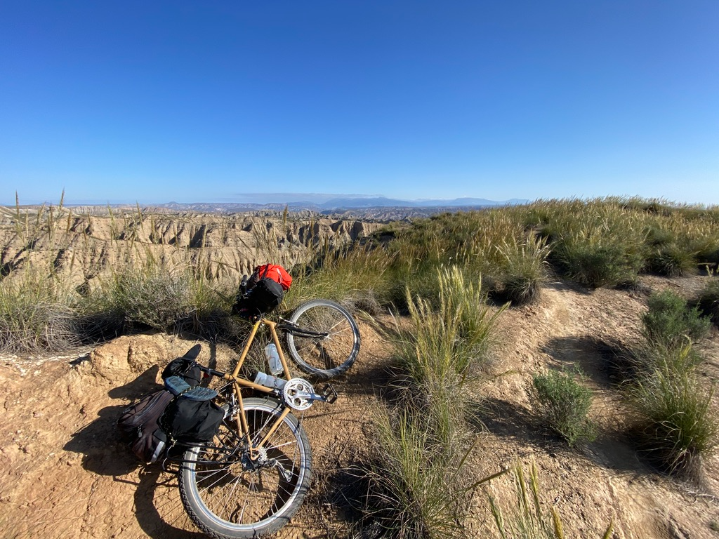
Mountain, Desert and Sea — Andalusian Trilogy
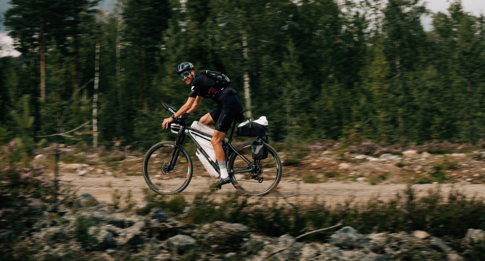
European D̶I̶V̶I̶D̶E̶ Connect Trail Project – a journey across Europe
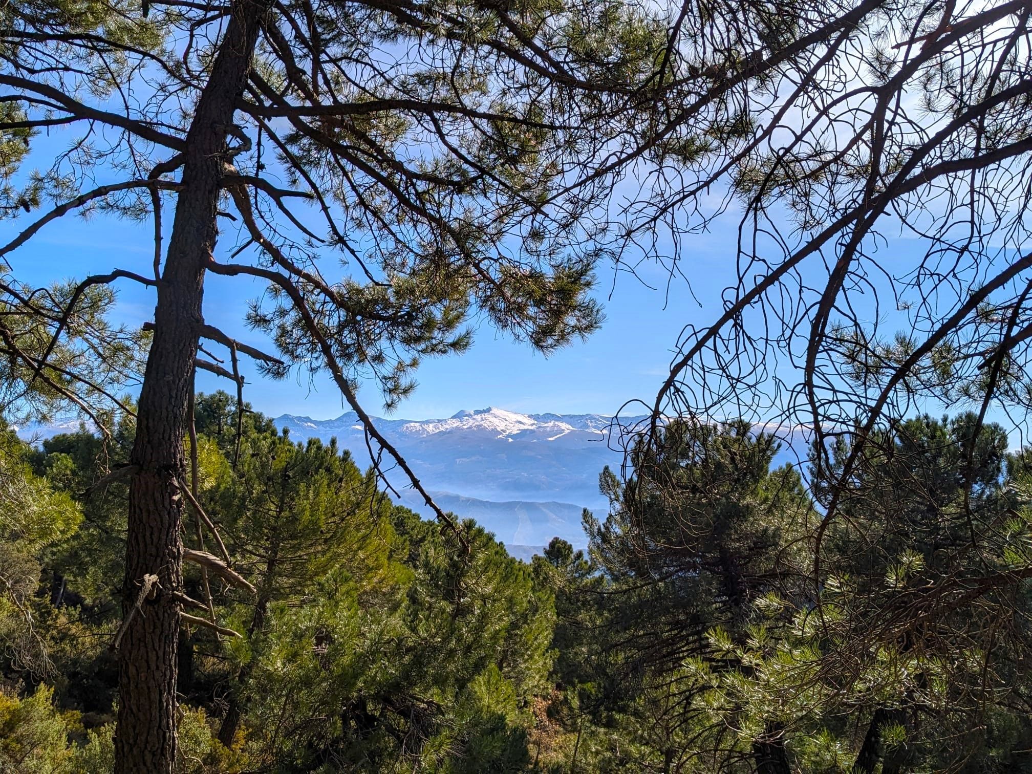
La Vega de Granada – walks a stone's throw from the city
Other adventures in Sierra Nevada


Tips from the Community

Place to pass through to reach La Cortijuela at the foot of El Trevenque
0
0
Spectacular and unparalleled
0
0

The flow of the Chico River increases sharply with snowmelt or heavy rains, which caused sediments and stones to be washed away and created many problems. To remedy this, 24 dikes were built, among which the 29-meter Dique 24 stands out.
0
0

The Church of San Gil and Santa Ana, popularly known as the Church of Santa Ana, is a 16th-century Mudéjar monument located in one of Granada's most charming corners: Plaza Nueva, right at the beginning of the Carrera del Darro and at the foot of the Alhambra. Built in 1537 by order of the parish of the same name, on the site of a former main mosque (Almanzora). The project is the work of the renowned architect Diego de Siloé, a central figure of the Renaissance in Granada. Its Mudéjar tower was erected between 1561 and 1563 by Juan Castellar, characterized by its framed openings and alfiz decoration.
12
0

The Church of San Gil and Santa Ana is a small church with a Mudéjar style, located in Plaza Nueva, where the Carrera del Darro begins, marking the start of our route through the Albaicín and Sacromonte districts. It was built according to a design by Diego de Siloé during the second third of the 16th century (1537-1548) on the site formerly occupied by the Almanzora mosque, founded by King Badis. This mosque stood at the foot of the Alhambra, between the right bank of the Darro River and the Almanzora neighborhood, which were connected by a stone bridge. Once the church was built, this bridge was renamed the Santa Ana Bridge. It is in the Mudéjar style.
3
1
The Church of San Gil and Santa Ana is a prime example of Granada's Mudéjar architecture. It stands on the site of a former mosque. Its Renaissance façade, adorned with grotesques and Corinthian columns, was designed by Sebastián de Alcántara, a prominent artist in the city. The tower, decorated with tiles and glazed roof tiles, is the finest example of Mudéjar architecture in the city. Only the old minaret remains of the former mosque. The Granadan heroine Mariana Pineda celebrated her wedding in this church. If you'd like to learn more about Mariana Pineda, here's a link: https://historia.nationalgeographic.com.es/a/mariana-pineda-rebelde-que-eligio-morir-antes-que-delatar-sus-companeros_16811
3
1
The El Purche Road, in Monachil (La Vega de Granada), is an emblematic road that connects the urban area with the Sierra Nevada National Park, well known to cyclists, hikers and lovers of panoramic views.
2
0
The Cumbres Verdes trails, in La Zubia (La Vega de Granada), are one of the most popular areas for hiking near Granada, within the Sierra Nevada Natural Park.
2
0
Frequently Asked Questions
What kind of terrain can I expect on gravel bike trails in Sierra Nevada?
Gravel biking in Sierra Nevada features diverse terrain, including high-altitude mountain passes, dense pine forests, scrubland, and open, rocky areas. You'll encounter significant elevation changes, offering both challenging climbs and long descents on varied surfaces.
Are there any easy or beginner-friendly gravel bike routes in Sierra Nevada?
While many routes in Sierra Nevada are challenging, there are options for various skill levels. The region offers paths ranging from long, demanding routes to more accessible trails. For instance, the guide lists 3 easy routes and 49 moderate routes out of 169 total gravel tours.
What is the best time of year for gravel biking in Sierra Nevada?
The best time for gravel biking in Sierra Nevada is typically from late spring to early autumn (May to October). During these months, the weather is generally more stable, and higher-altitude trails are free of snow. Winter can be challenging due to snow and ice, especially at higher elevations.
Are there any gravel bike routes that feature waterfalls or other natural attractions?
Yes, some routes pass by notable natural features. For example, the route Las Chorreras Waterfall – Viewpoint Near Cáñar loop from Cádiar specifically highlights a waterfall. You can also find other natural monuments like Tajo de las Palomas or Hondera Lagoon in the region.
Can I find loop trails for gravel biking in Sierra Nevada?
Many gravel bike routes in Sierra Nevada are designed as loops, allowing you to start and finish at the same point. Examples include the popular Pinos Genil village – Hoya de la Mora loop from La Zubia and the Nazari Bridge of Tablate – Dílar loop from Cumbres Verdes.
What are the typical lengths and durations of gravel bike routes in Sierra Nevada?
Gravel bike routes in Sierra Nevada vary significantly in length and duration. You can find shorter rides, like the Rambla de los Yesos – Alboloduy Village and Church loop from Alboloduy at about 30 miles (48.5 km) taking around 2 hours 45 minutes. Longer, more challenging routes can extend over 60 miles (100 km) and take 6-8 hours or more, such as the Pinos Genil village – Hoya de la Mora loop from La Zubia.
Are there any historical or cultural landmarks along the gravel routes?
Yes, the region is rich in history. Some routes, like the Nazari Bridge of Tablate – Dílar loop from Cumbres Verdes, traverse areas with historical points. You might also encounter charming mountain villages such as Capileira Village, or religious buildings like the Monument to the Virgin of the Snows.
What do other gravel bikers say about the trails in Sierra Nevada?
The gravel biking routes in Sierra Nevada are highly regarded by the komoot community, with an average rating of 4.7 stars from over 70 reviews. Riders often praise the diverse terrain, challenging climbs, and the stunning mountain landscapes and panoramic views.
Is public transport available to access gravel bike trails in Sierra Nevada?
Public transport options to reach trailheads in Sierra Nevada can be limited, especially for more remote routes. While some larger towns have bus services, accessing specific starting points for gravel trails often requires personal transport. It's advisable to check local bus schedules and bike transport policies in advance.
Are there challenging gravel bike trails for experienced riders in Sierra Nevada?
Absolutely. Sierra Nevada is known for its challenging terrain, with 117 out of 169 routes classified as difficult. These routes often feature substantial elevation gain, long distances, and technical sections, providing a demanding experience for seasoned gravel bikers. The Bérchules – View of Narila and Cádiar loop from Juviles is a good example of a challenging mountain village route.
What are the parking options like for gravel biking in Sierra Nevada?
Parking availability varies depending on the trailhead. In smaller villages or near popular starting points, you may find designated parking areas, though they can fill up quickly during peak seasons. For more remote routes, roadside parking might be an option, but always ensure you are parking legally and safely, respecting local regulations and private property.
Can I find less crowded gravel bike trails in Sierra Nevada?
While some popular routes can see more traffic, Sierra Nevada's vastness means it's possible to find less crowded trails, especially if you venture into more remote areas or ride during off-peak times. Exploring routes that start from smaller, less-known villages can often lead to a more solitary experience.
Most popular routes in Sierra Nevada
Most popular attractions in Sierra Nevada

Get inspired with the komoot mobile app


Explore more
Browse the best Gravel rides in other regions.
