The best hikes from bus stations in Ötztal
4.7
(46264)
234,229
hikers
49
hikes
Bus station hiking trails in Ötztal provide access to a diverse alpine landscape, characterized by the Ötztal and Stubai Alps, which feature over 250 peaks exceeding 3,000 meters. The region encompasses the Ötztal Nature Park, extending from valley floors to high alpine areas shaped by glaciers and ancient stone pine forests. Elevations range from 670 meters to 3,768 meters, offering a variety of climatic zones and environments for hikers. Key natural features include 67 glaciers, the 159-meter-high Stuiben Falls, and Lake Piburger See.
Best bus station hiking trails in Ötztal
- The most popular bus station hiking route is From Zwieselstein to the Nederkogel - Ötztal Nature Park, a 8.1 miles (13.1 km) trail that takes 8 hours 22 minutes to complete. This difficult route offers extensive views of the Ötztal Nature Park.
- Another top favourite among local hikers is Sulztal Alm – View of Sulztalferner Glacier loop from Gries, a moderate 7.3 miles (11.8 km) path. This trail provides views of the Sulztalferner Glacier and passes through alpine meadows.
- Local hikers also love the Winnebach Waterfall – Winnebachsee Hut loop from Gries, a 8.5 miles (13.6 km) trail leading through high alpine terrain and past a waterfall, often completed in about 6 hours 41 minutes.
- Hiking in Ötztal is defined by high alpine peaks, extensive glacier areas, and ancient stone pine forests. The network of bus station hiking trails offers options for various ability levels, from easy valley walks to challenging high-altitude ascents.
- The routes in Ötztal are highly rated by the komoot community with an average score of 4.7 stars from over 45,000 reviews. More than 229,000 hikers have used komoot to explore Ötztal's varied terrain.
Last updated: June 29, 2026
4.7
(19)
107
hikers
13.1km
08:22
1,430m
1,430m
Hard hike. Very good fitness required. Sure-footedness, sturdy shoes and alpine experience required.
4.8
(300)
1,363
hikers
11.9km
03:52
540m
540m
Moderate hike. Good fitness required. Easily-accessible paths. Suitable for all skill levels.

Sign up for free
4.9
(268)
1,302
hikers
11.3km
05:25
900m
900m
Hard hike. Very good fitness required. Sure-footedness, sturdy shoes and alpine experience required.
4.8
(93)
522
hikers
7.29km
02:19
300m
300m
Moderate hike. Good fitness required. Easily-accessible paths. Suitable for all skill levels.
4.8
(44)
179
hikers
Hard hike. Good fitness required. Sure-footedness, sturdy shoes and alpine experience required.
Get access to more routes and recommendations from other explorers.
Sign up for free
Already have an account?
Our route recommendations are based on thousands of hikes, rides, and runs completed by other people on komoot.
Start today with a free account
Your next adventure awaits.
Login or Signup
Popular around Ötztal

L1 from Garmisch to Brescia – Far from the classic Alpine crossings

E5 – Hiking across the Alps
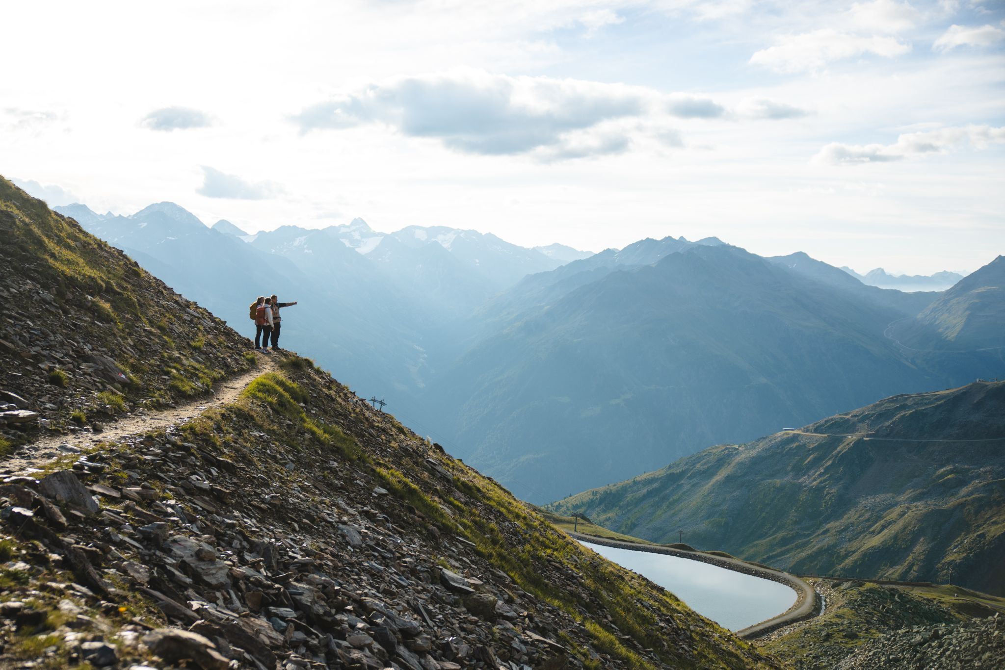
Climb our Heartpeaks and enjoy both pulsating and quiet mountain moments
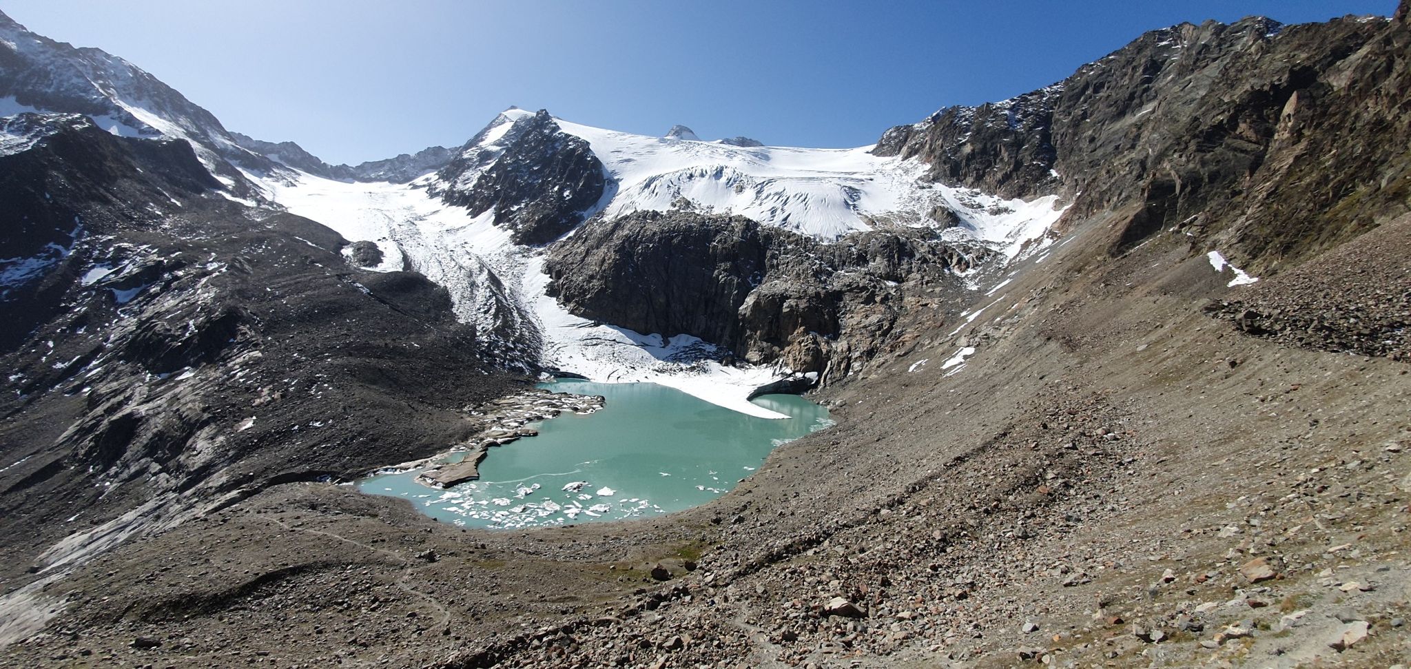
Stubai Alps Crossing – 10 days of pure adventure
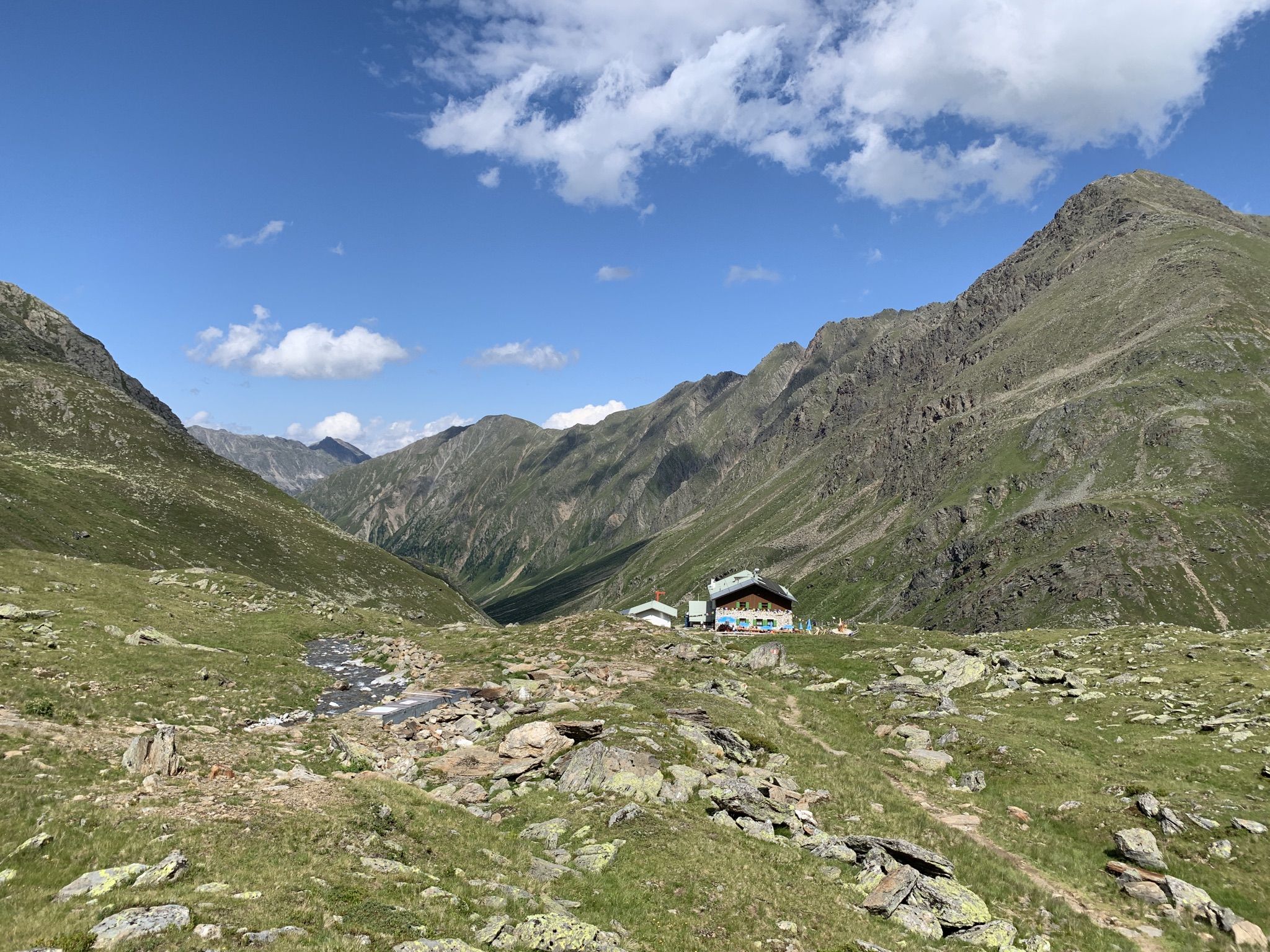
Through the Sellrain mountains – panoramic peaks and steep passes
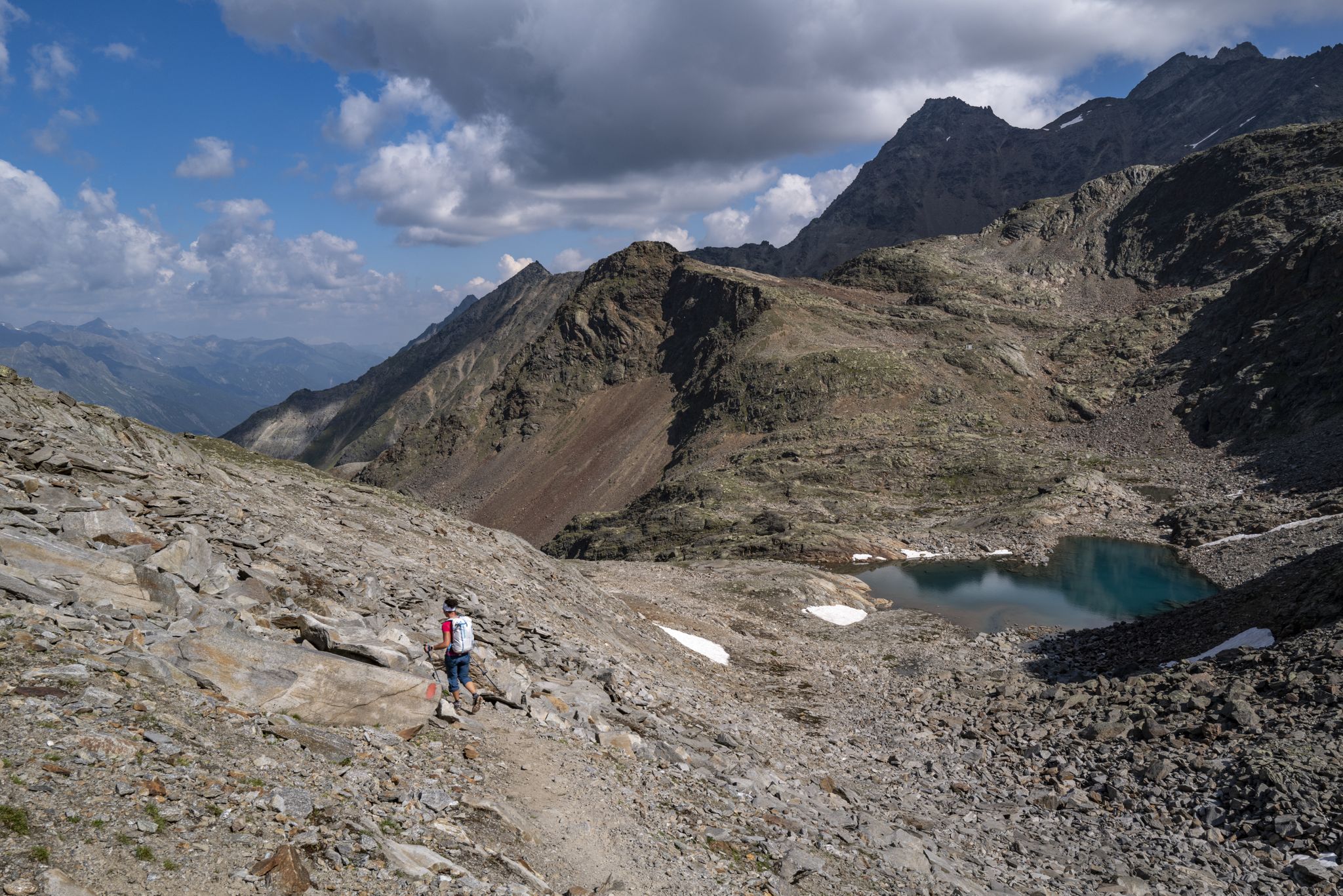
An adventure for true mountain enthusiasts – the Ötztal Trek
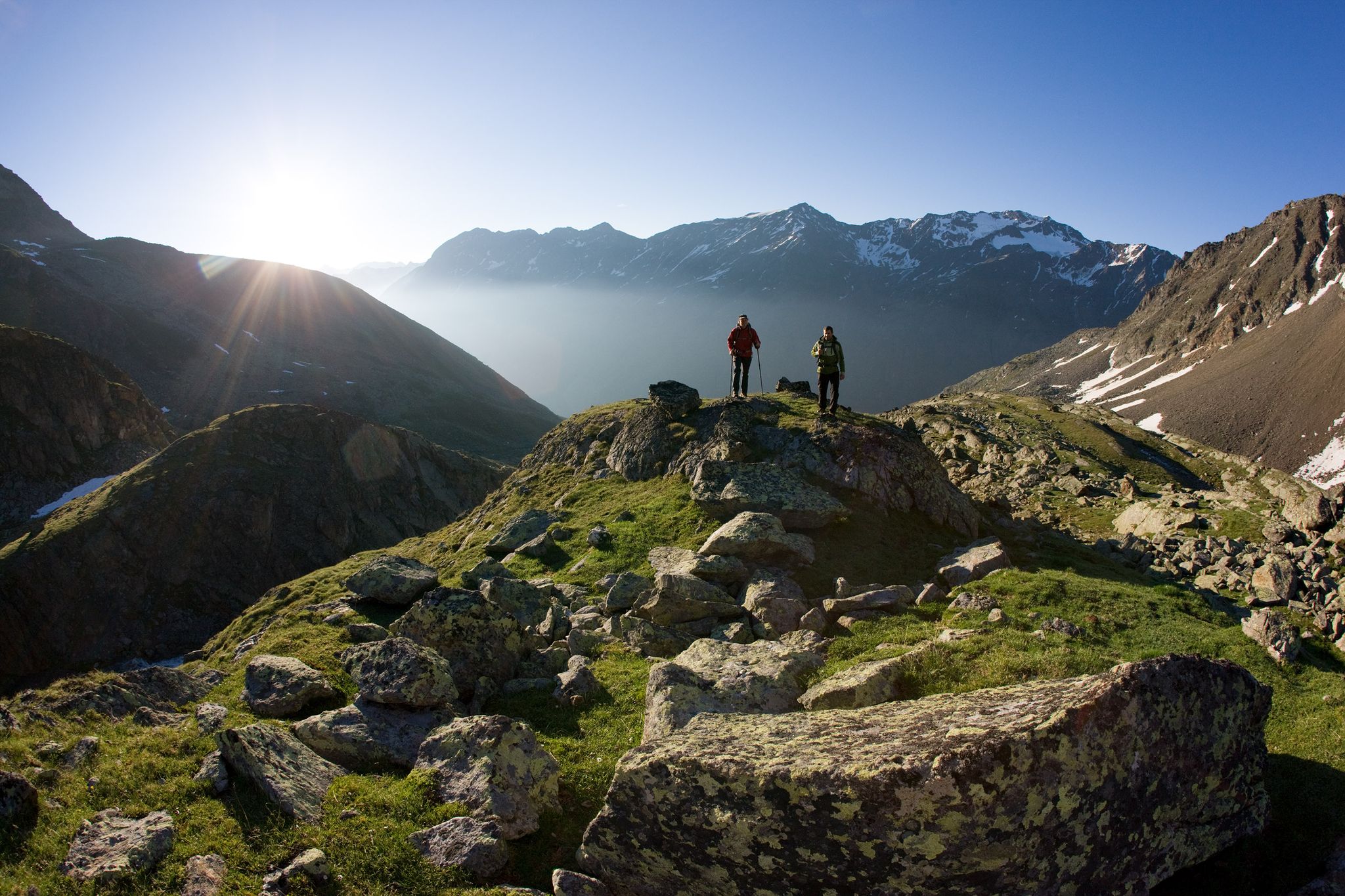
12 days hiking through the Tyrolean Alps – Ötztaler Urweg Trail

An alpine adventure – from east to west through Austria
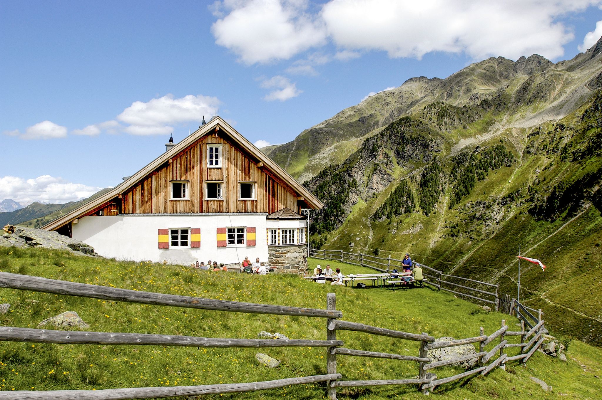
7 days through the Sellrain Alps – the Sellrainer Huettenrunde

Multi-day hikes for beginners & alpinists in the Ötztal valley
Other adventures in Ötztal


Tips from the Community


4 euros parking fee and 2 days 6 euros
0
0
Easily accessible from the Winnebachseehütte, with beautiful views into the valley. Along the way, you'll reach a large rocky outcrop with a stunning view of the waterfall from up close.
0
0

Small hut/shelter to stay in. I took a short break here on the way up to the Winnebachseehütte. From here, no phone reception.
0
0


Entry into the worthwhile Kühtrainsschlucht.
5
0
Wonderful view of the valley from the Moosalmstrasse.
7
0

Impressive view of one of the largest glaciers in the Stubai Alps. It is still one of the largest, but it loses a large part of its area every year.
1
0
Frequently Asked Questions
How many bus-accessible hiking trails are available in Ötztal?
Ötztal offers a wide selection of hiking trails accessible by bus, with over 45 routes specifically starting near bus stations. These trails cater to various skill levels, from easy strolls to challenging mountain ascents.
What kind of terrain can I expect on bus-accessible hikes in Ötztal?
The bus-accessible hikes in Ötztal traverse a diverse range of landscapes. You can expect everything from gentle paths through ancient stone pine forests, like the Obergurgler Zirbenwald, to more challenging routes leading into high alpine terrain with glacier views. The valley's elevation diversity means you'll experience various climatic zones.
Are there easy bus-accessible hikes suitable for beginners in Ötztal?
Yes, Ötztal provides several easy bus-accessible hikes perfect for beginners or those looking for a relaxed outing. There are 12 easy routes available, often following well-maintained paths through valleys or to scenic viewpoints. These blue-rated trails require no prior mountain experience.
Can I find circular hiking routes that start and end at bus stops in Ötztal?
Yes, many bus-accessible routes in Ötztal are designed as circular walks, allowing you to return to your starting point without needing additional transport. An example of a moderate circular route from a bus stop is the Sulztal Alm – View of Sulztalferner Glacier loop from Gries.
Are there any bus-accessible hikes that feature waterfalls in Ötztal?
Absolutely! Ötztal is home to stunning waterfalls, and some are accessible via bus routes. For instance, the Winnebach Waterfall – Winnebachsee Hut loop from Gries is a challenging hike that takes you past the impressive Winnebach Waterfall. You can also explore other waterfalls like the Rotmoos Waterfall or the Weißer Bach Waterfall near Vent, which might be part of other bus-accessible routes.
What natural landmarks or viewpoints can I discover on bus-accessible trails in Ötztal?
Ötztal's bus-accessible trails lead to numerous natural landmarks and offer breathtaking viewpoints. You might encounter serene spots like Lake Piburg, or pass by impressive structures like the Weller Bridge over the Ötztaler Ache. Many routes also provide panoramic views of the Ötztal and Stubai Alps, with peaks exceeding 3,000 meters.
Are there family-friendly hiking options accessible by bus in Ötztal?
Yes, Ötztal is very family-friendly. While specific family-themed bus routes are not listed here, many of the easy and moderate trails are suitable for families. Look for routes with shorter durations and less elevation gain, often found in the lower valley areas or around villages like Oetz and Umhausen, which offer theme trails and discovery paths.
Can I bring my dog on bus-accessible hikes in Ötztal?
Generally, dogs are welcome on hiking trails in Ötztal, provided they are kept on a leash, especially in nature protection areas and near livestock. Public transport rules for dogs may vary, so it's advisable to check with the specific bus operator beforehand. Always ensure your dog has enough water and is capable of handling the chosen trail's difficulty.
What is the best time of year to go hiking from bus stations in Ötztal?
The best time for hiking in Ötztal is typically from late spring to early autumn (May to October). During these months, trails are generally free of snow, and the weather is more stable. High alpine routes, especially those leading to glaciers, are best tackled in mid-summer (July-August). Always check local weather conditions and trail status before heading out.
Are there places to eat or stay near the bus-accessible hiking trails in Ötztal?
Yes, Ötztal is well-equipped with mountain huts and alpine pasture inns, with over 100 establishments available. Many bus-accessible trails either pass by or lead to these huts, such as the Breslauer Hut or the Martin Busch Hut, where you can enjoy refreshments or even stay overnight. Villages like Vent, Obergurgl, and Gries also offer various accommodation and dining options.
How long do bus-accessible hikes in Ötztal typically take?
The duration of bus-accessible hikes in Ötztal varies significantly depending on the route's length and difficulty. Easy trails might take a couple of hours, while moderate to difficult routes can range from 4 to 8 hours or more. For example, the Gries Hiking Car Park – Sulztal Alm loop from Gries is a moderate hike taking around 2 hours and 20 minutes, while the challenging From Zwieselstein to the Nederkogel can take over 8 hours.
What do other hikers say about the bus-accessible trails in Ötztal?
The bus-accessible trails in Ötztal are highly regarded by the komoot community, with an average rating of 4.7 out of 5 stars from over 45,000 reviews. Hikers frequently praise the stunning alpine scenery, the well-marked paths, and the convenience of accessing diverse landscapes directly from public transport stops.
Are there challenging bus-accessible hikes for experienced hikers in Ötztal?
Absolutely. For experienced hikers, Ötztal offers 10 difficult bus-accessible routes that venture into more demanding alpine terrain. These black-rated trails require sure-footedness, a good head for heights, and alpine experience. An example is the challenging From Zwieselstein to the Nederkogel, which involves significant elevation gain.
Most popular routes in Ötztal
Most popular attractions in Ötztal

Get inspired with the komoot mobile app


Explore more
Browse the best Hikes in other regions.
