The best city hikes and walks in Sistema Fluvial Ulla-Deza
4.4
(1377)
9,356
hikers
31
hikes
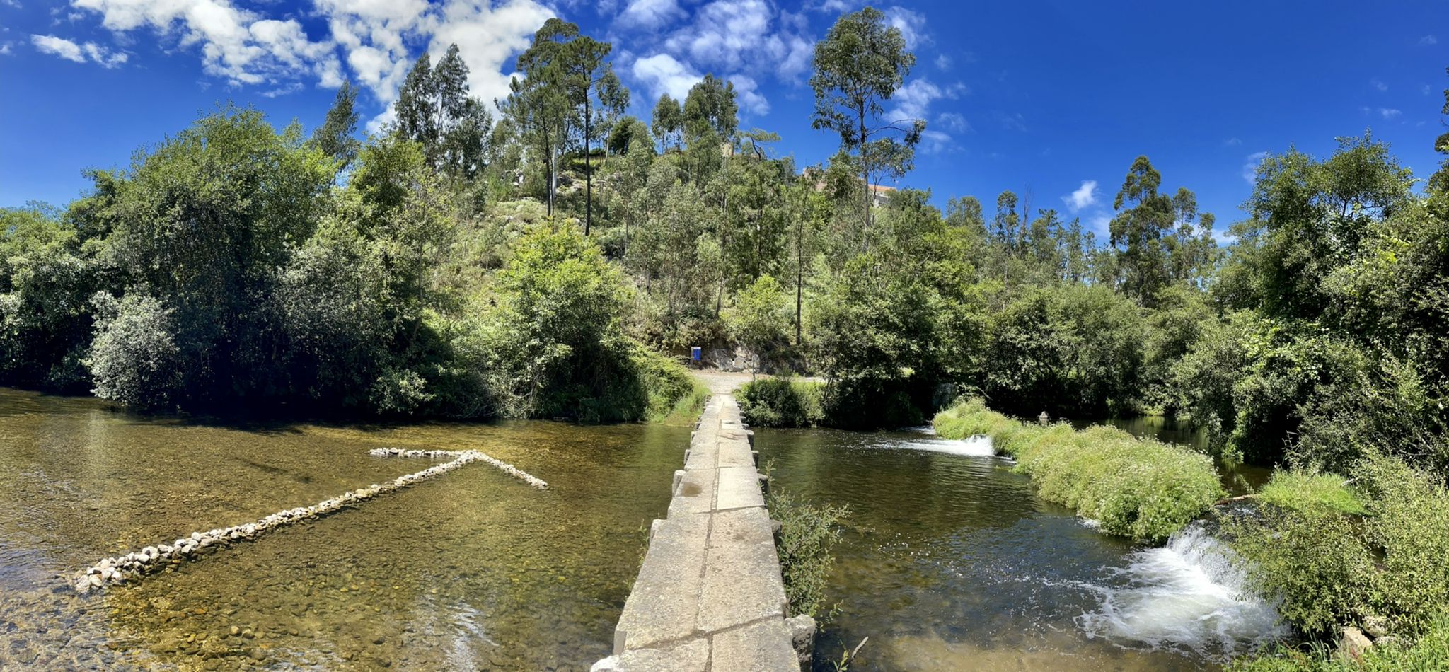
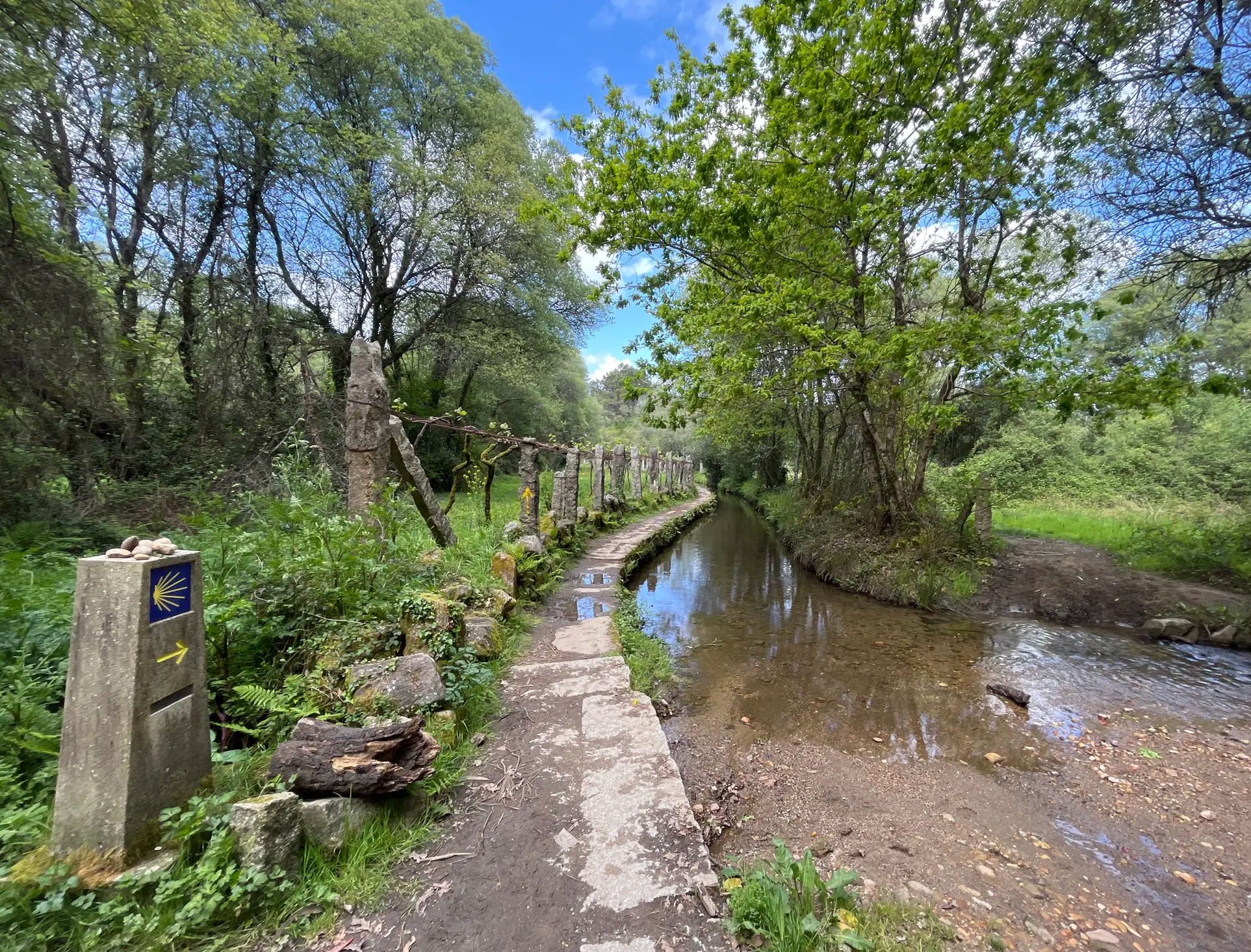
Urban hiking trails in Sistema Fluvial Ulla-Deza are characterized by the extensive Ulla River system, which forms a natural corridor leading to the Ría de Arousa estuary. The region features diverse riparian forests with alder and willow, alongside traditional Galician landscapes of fields and footpaths. Hikers can explore areas shaped by centuries of human activity, including historic bridges and manor houses. The terrain generally includes varied paths along riverbanks and through cultivated areas, with some routes offering moderate elevation changes.
…Last updated: July 13, 2026
18
hikers
19.8km
05:08
120m
120m
Hard hike. Very good fitness required. Easily-accessible paths. Suitable for all skill levels.
3.5
(2)
16
hikers
13.6km
03:30
70m
70m
Moderate hike. Good fitness required. Easily-accessible paths. Suitable for all skill levels.

Sign up for free
14
hikers
Moderate hike. Good fitness required. Easily-accessible paths. Suitable for all skill levels.
4.0
(2)
11
hikers
Easy hike. Great for any fitness level. Easily-accessible paths. Suitable for all skill levels.
5.0
(1)
15
hikers
10.3km
02:51
190m
190m
Moderate hike. Good fitness required. Easily-accessible paths. Suitable for all skill levels.
Get access to more routes and recommendations from other explorers.
Sign up for free
Already have an account?
Our route recommendations are based on thousands of hikes, rides, and runs completed by other people on komoot.
Start today with a free account
Your next adventure awaits.
Login or Signup
Popular around Sistema Fluvial Ulla-Deza


Tips from the Community

Situada en el centro de la plaza de Platerías, fue esculpida por J. Pernas en 1825. Se trata de una fontana de estilo italiano, que inspiró a Federico García Lorca, quien la llamó "La Fuente del Sueño". Fuente de estilizada línea, cuenta con cuatro con caballos de bella factura. El escultor Juan Sanmartín, a mediados del s. XIX, le añadió la "Alegoría de la Ciudad de Santiago", una mujer sentada sobre el arca apostólica, sosteniendo la estrella que indicó al obispo Teodomiro el lugar del sepulcro.
17
0

Well-known plaza in the Old Town of Santiago
1
1

The atmosphere of this place is contagious
1
1


The old town is a relatively compact area of narrow cobbled streets and small plazas lined with cafés, bars, restaurants and shops. The Mercado de Abastos in the old town is a must see after the catedral.
1
1

Very atmospheric with the small streets and the beautiful buildings
1
1

Large fountain
5
0
Frequently Asked Questions
How many urban hiking trails are available in Sistema Fluvial Ulla-Deza?
Sistema Fluvial Ulla-Deza offers over 20 urban hiking trails, catering to various preferences and skill levels. You'll find a good mix of easy, moderate, and some more challenging routes.
What do other hikers enjoy about urban trails in Sistema Fluvial Ulla-Deza?
The urban trails in Sistema Fluvial Ulla-Deza are highly rated by the komoot community, with an average score of 4.5 stars from over 1200 reviews. Hikers often praise the blend of natural riverine landscapes with historical elements and the accessibility of these routes within or near towns.
Are there easy urban hiking trails suitable for beginners or families?
Yes, there are 14 easy urban hiking trails perfect for beginners or families. These routes typically feature minimal elevation gain and well-maintained paths. An example is the Vilagarcía Marina – Port of Vilagarcía de Arousa loop from Illa de Cortegada, which is relatively short and flat.
What natural features can I expect to see on urban hikes in Sistema Fluvial Ulla-Deza?
Urban hikes in this region often follow the Ulla and Deza rivers, offering views of their extensive riverine systems and diverse riparian forests. You might encounter the impressive Fervenza do Toxa Waterfall, one of Galicia's most spectacular, or spot local fish populations like Atlantic salmon and sea lamprey in the rivers.
Are there any historical landmarks or points of interest along the urban trails?
Many urban trails in Sistema Fluvial Ulla-Deza pass by significant historical sites. You can explore the The Pedrón (Church of Saint James of Padrón), cross the historic Padrón Bridge, or admire the Pontevea Medieval Bridge. The region also features traditional Galician 'pazos' (manor houses) and the historic Monastery of Carboeiro, often connected by walking paths.
Can I find urban hiking routes that are circular?
Yes, many urban hiking routes in Sistema Fluvial Ulla-Deza are designed as loops, allowing you to start and end at the same point. For instance, consider the Vilagarcía Marina – Port of Vilagarcía de Arousa loop from Vilagarcía de Arousa, which offers a scenic circular walk.
Are there longer urban hikes for more experienced walkers?
For those seeking a longer urban adventure, there are several moderate to difficult routes. The Vilagarcía Marina – Bennett Beach loop from O Campanario is a challenging option, covering over 22 km with some elevation changes, offering a comprehensive exploration of the coastal urban landscape.
What is the best season for urban hiking in Sistema Fluvial Ulla-Deza?
The Sistema Fluvial Ulla-Deza region is pleasant for urban hiking throughout much of the year. Spring and autumn offer mild temperatures and vibrant natural colors. Summer can be warm but is enjoyable, especially for coastal routes. Winter hikes are also possible, though some paths might be wetter.
Are urban trails in Sistema Fluvial Ulla-Deza accessible by public transport?
Many urban trails in the region are located near towns and cities, making them relatively accessible. While specific public transport links vary by trailhead, major towns like Padrón and Vilagarcía de Arousa serve as good starting points and are generally well-connected. It's advisable to check local bus schedules for specific access points.
Are there any urban trails that offer scenic viewpoints?
Absolutely. Trails along the Ulla River and its estuary often provide picturesque views of the water, surrounding countryside, and traditional Galician landscapes. The Alameda Promenade in Padrón is a great example of an urban area offering scenic river views and a pleasant walking experience.
Are there urban routes that pass through or near towns with amenities like cafes?
Yes, many urban hiking routes are designed to pass through or close to towns and villages, providing convenient access to amenities. For example, routes around Vilagarcía de Arousa or Padrón will have cafes, restaurants, and shops readily available for a break or refreshment.
Most popular routes in Sistema Fluvial Ulla-Deza
Most popular attractions in Sistema Fluvial Ulla-Deza

Get inspired with the komoot mobile app


