The best hikes from bus stations around Gennargentu National Park
4.4
(10279)
50,158
hikers
72
hikes
Gennargentu National Park hiking trails accessible by bus offer diverse experiences across Sardinia's rugged interior. The region is characterized by its dramatic mountain ranges, including Punta La Marmora, deep gorges like Gorropu, and extensive Mediterranean forests. Hikers can explore varied terrain, from challenging mountain ascents to coastal paths along the Gulf of Orosei, all reachable via public transport connections.
Best bus station hiking trails around Gennargentu National Park
- The most popular bus station hiking route is Monte Oro Trail –…
Last updated: July 13, 2026
4.7
(28)
135
hikers
15.4km
05:18
770m
770m
Hard hike. Very good fitness required. Easily-accessible paths. Suitable for all skill levels.
4.7
(10)
75
hikers
22.2km
07:38
1,060m
1,060m
Hard hike. Very good fitness required. Mostly accessible paths. Sure-footedness required.

Sign up for free
4.1
(18)
42
hikers
8.54km
02:48
380m
380m
Moderate hike. Good fitness required. Easily-accessible paths. Suitable for all skill levels.
5.0
(2)
9
hikers
10.3km
03:21
420m
420m
Moderate hike. Good fitness required. Easily-accessible paths. Suitable for all skill levels.
4.0
(4)
24
hikers
Moderate hike. Good fitness required. Easily-accessible paths. Suitable for all skill levels.
Get access to more routes and recommendations from other explorers.
Sign up for free
Already have an account?
Our route recommendations are based on thousands of hikes, rides, and runs completed by other people on komoot.
Start today with a free account
Your next adventure awaits.
Login or Signup
Popular around Gennargentu National Park
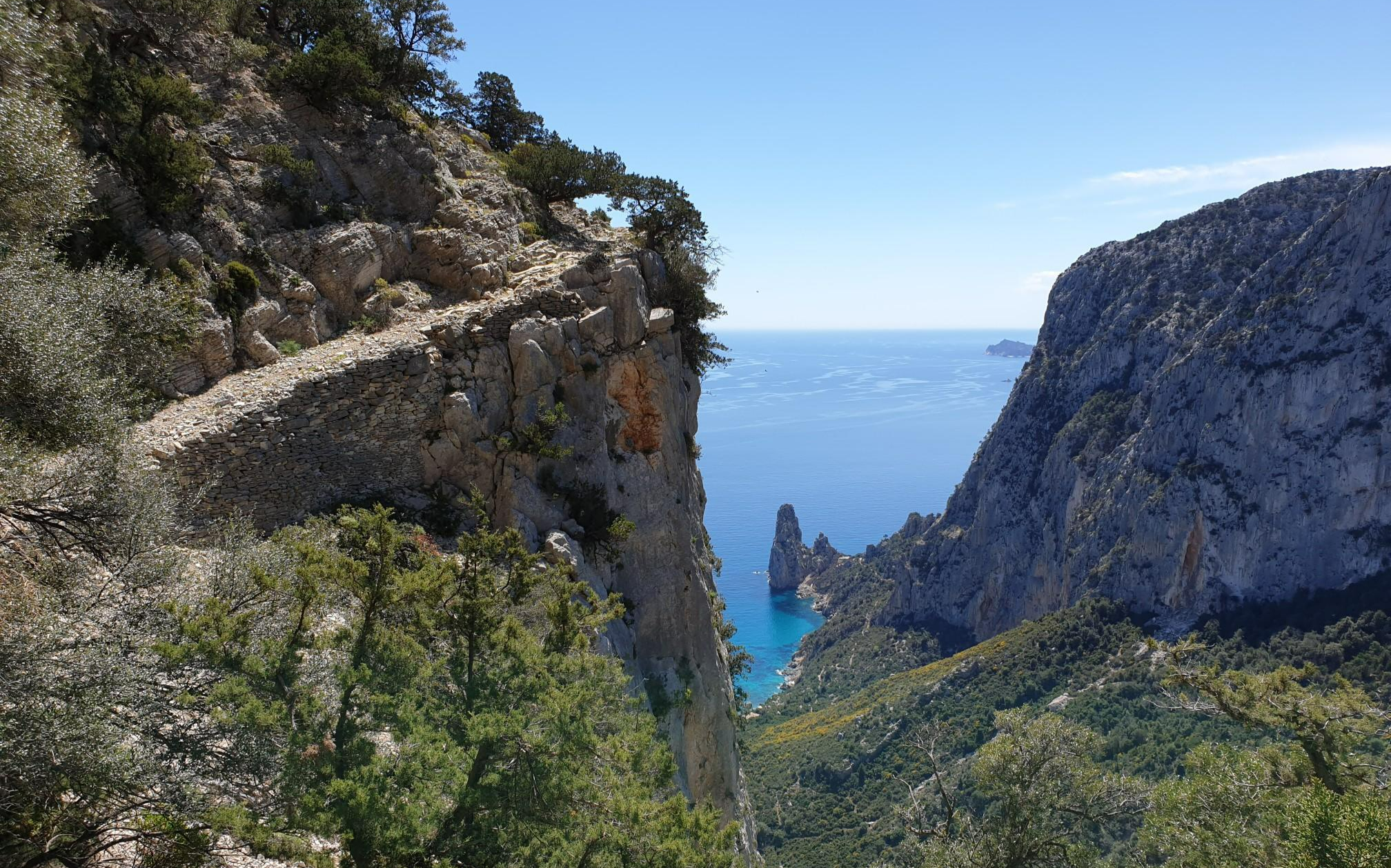
Wild Blue - an adventure overlooking the sea
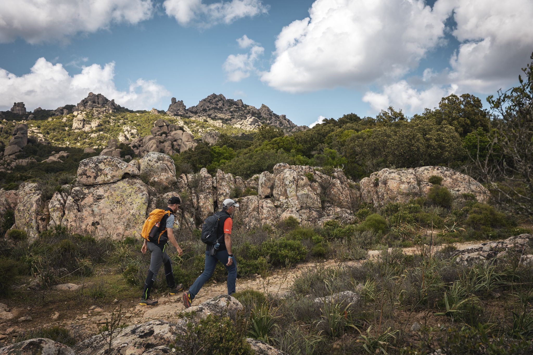
Eternal Sardinia – walks among the wonders of the hinterland
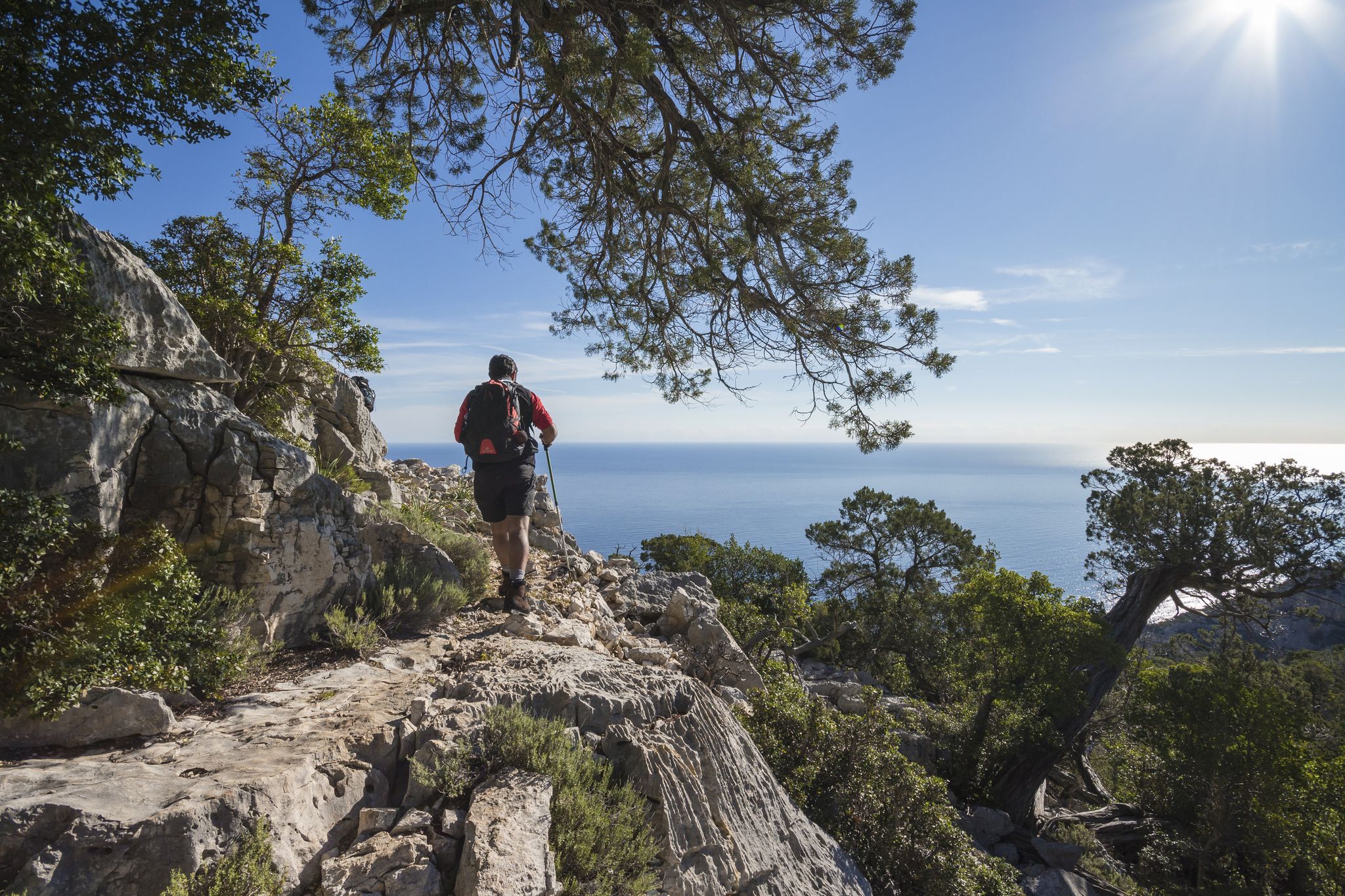
Magnificent Sardinia – day hikes overlooking the sea
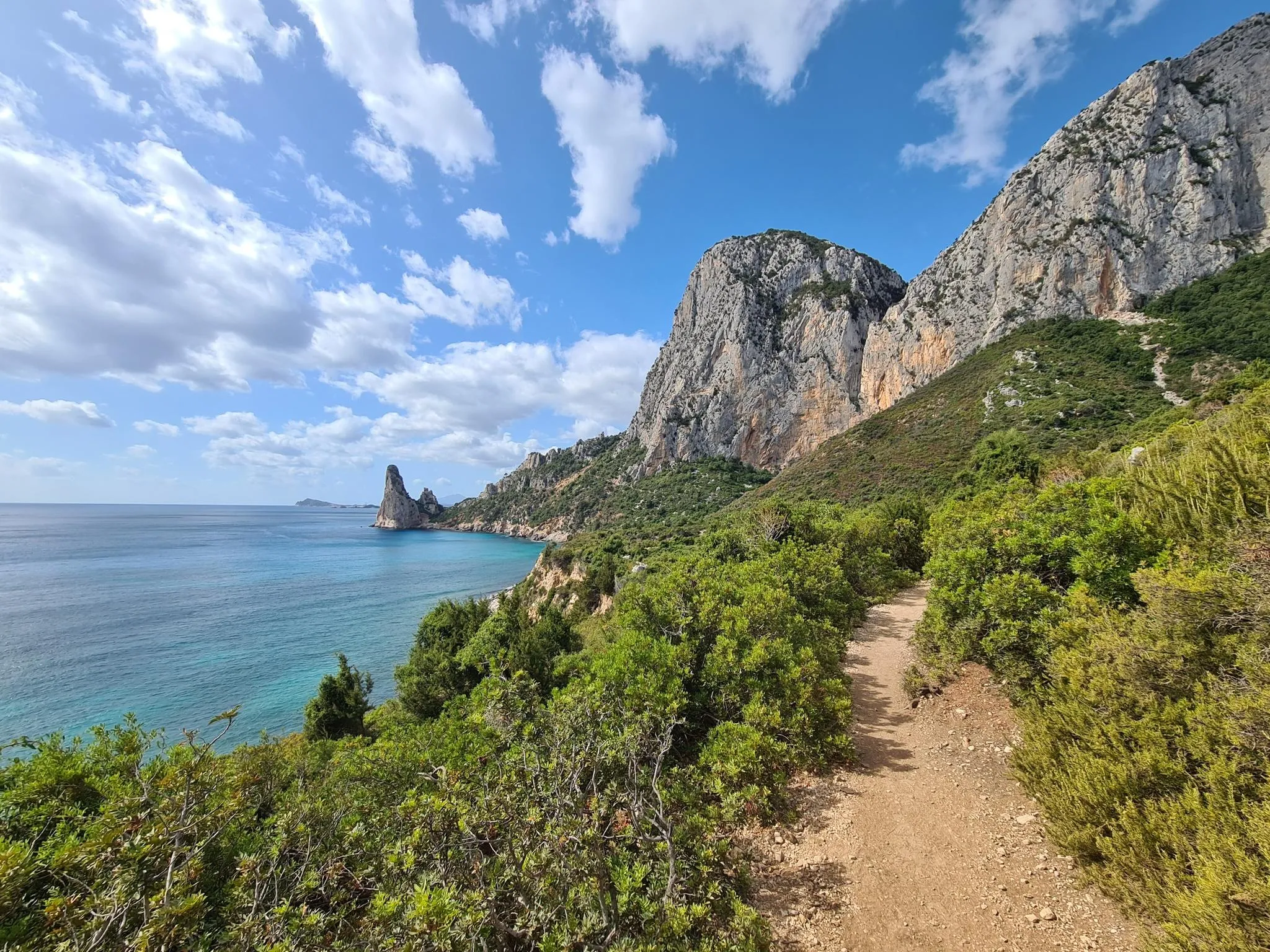
Discover Sardinia on the Via Ogliastra – Cammino 100 Torri
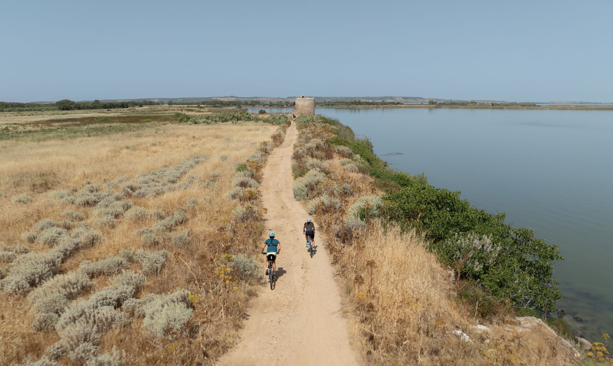
Discover wild Sardinia – 10 superb MTB Tours
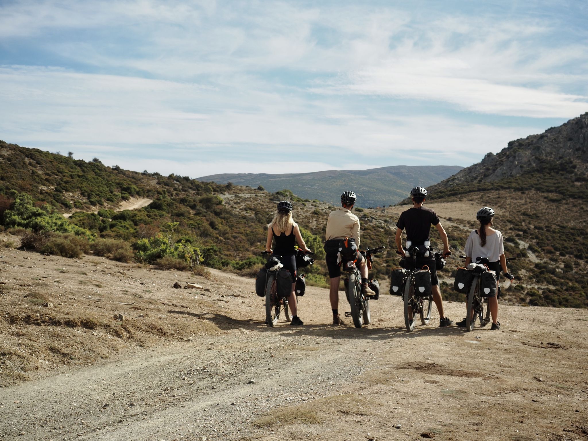
Bikepacking the TranSardinia – the quiet Italian island life
Other adventures around Gennargentu National Park


Tips from the Community

Definitely use the Via Pedra Longa to get to this waypoint and not the path running parallel above it according to Komoot, as it no longer seems to exist.
1
0

The Galleria Etza (Sardinian for “old tunnel”) is a historic tunnel about 115 meters long, located between Dorgali and Cala Gonone in Sardinia. Built between 1838 and 1860, it cuts through the Tului and Bardia mountains. Today, it is a popular hiking destination and offers a spectacular panoramic view over the Gulf of Orosei.
0
0
From up here, you have a wonderful view of Cala Gonone and the coast.
0
0
I walked the circular route from Cala Gonone in April 2026, the paths were well marked and maintained. I was initially unsettled by some comments ('very demanding', 'only with poles/hiking boots') – in retrospect, I find this assessment too generalized. The tour up Monte Bardia is varied and really fun if you are sure-footed. There are stony sections, but for me, they were more technically interesting than difficult. I went alone and in trail running shoes – completely without problems. Perhaps helpful for others (especially women) who are put off by such comments: You don't need "special equipment", but a good sense of your body and attention. Conclusion: Demanding, but absolutely doable and very rewarding.
0
0

Each of the summit crosses that hikers often encounter in the mountains, whether or not it depicts the body of the crucified Christ, invites passersby to a brief spiritual pause. Perhaps one or another will be able to encounter God here in a short prayer. As a prerequisite for a completely different mystical experience of encountering God, beyond such a small sacred monument, Hape Kerkeling, who made the pilgrimage on the Camino Francés in 2001, writes: “I am becoming freer here day by day (…) Through all the frequencies of emotion, I have slowly tuned myself into one frequency and had a wonderful reception. Total serene emptiness is the state that creates a vacuum which God can then calmly and completely fill.” (Hape Kerkeling in “I’m Off Then”)
0
0

After the sea, back to the mountains... worth seeing!
0
0
Not a recommended hike. Only scree slopes down and up. No clear path on the extremely steep climb. Life-threatening. Despite being in good shape, we reached our limits and were so glad to finally reach the top again☹️
0
0

The Baunei viewpoint is a semi-abandoned garden, but excellent for the view
0
0
Frequently Asked Questions
How many bus-accessible hiking trails are there in Gennargentu National Park?
There are over 50 hiking trails in Gennargentu National Park that are accessible from bus stations. These routes offer a diverse range of experiences, from easy strolls to challenging mountain ascents.
What kind of terrain can I expect on bus-accessible hikes in Gennargentu National Park?
The terrain around Gennargentu National Park is incredibly varied. You can expect rugged mountains, deep gorges, dense Mediterranean forests, and dramatic coastal sections. Trails often feature limestone formations, rocky paths, and sometimes steep ascents or descents, offering a true taste of Sardinia's wild heart.
Are there easy hiking options accessible by bus in the park?
Yes, approximately 19 of the bus-accessible routes are considered easy. These trails are generally shorter and have less elevation gain, making them suitable for a more relaxed outing. While the provided routes are moderate to difficult, many other easy options exist within the park's bus-accessible network.
What natural features or landmarks can I see on bus-accessible trails?
Many bus-accessible trails offer access to stunning natural features. You might encounter the impressive Gorropu Gorge, one of Europe's deepest canyons, or enjoy views towards the highest peak, Punta La Marmora. Coastal trails can lead to beautiful beaches like Cala Luna or the iconic Pedra Longa Rock Formation.
Are there any circular hiking routes reachable by bus?
Yes, several circular routes are accessible from bus stations, allowing you to start and end your hike at the same point without needing to arrange a return journey. Examples include the Etza Tunnel and Viewpoint loop from Durgali/Dorgali or the View of Dorgali – Monte Corrasi Summit Cross loop from Durgali/Dorgali.
What is the best time of year to hike from bus stations in Gennargentu National Park?
The best time to hike in Gennargentu National Park is typically during spring (April to June) and autumn (September to October). During these seasons, the weather is milder, and the landscapes are vibrant. Summer can be very hot, especially at lower elevations, while winter can bring snow to the higher peaks, making some trails more challenging.
Are there any dog-friendly bus-accessible hikes?
Many trails in Gennargentu National Park are dog-friendly, but it's always advisable to check specific regulations for each route, especially within protected areas or near wildlife. Keep your dog on a leash, especially when encountering livestock or wildlife, and ensure they are well-hydrated, particularly on longer or more exposed routes.
What do other hikers enjoy the most about hiking in Gennargentu National Park?
The area is highly rated by the komoot community, with an average score of 4.5 stars from over 9,000 ratings. Reviewers often praise the breathtaking panoramic views, the dramatic and diverse landscapes, and the sense of wild adventure found on these trails. The opportunity to explore both rugged mountains and stunning coastal areas is frequently highlighted.
Can I find less crowded hiking options accessible by bus?
While some popular spots can attract more visitors, Gennargentu National Park is vast, and many bus-accessible trails offer a sense of solitude, especially outside peak season or on less-known routes. Exploring trails that venture deeper into the mountains or along less frequented coastal paths can provide a more tranquil experience.
Are there any challenging bus-accessible hikes for experienced hikers?
Absolutely. Gennargentu National Park offers numerous challenging bus-accessible hikes. For example, the Monte Oro Trail – View of Baunei and the Ogliastra loop from Baunei is a difficult route covering over 15 km with significant elevation gain, perfect for experienced hikers seeking a demanding adventure.
Are there opportunities for wild swimming near bus-accessible trails?
The park's proximity to the Gulf of Orosei means that some coastal trails accessible by bus can lead to secluded coves and beaches, offering opportunities for a refreshing dip in the crystal-clear waters. Always check local regulations regarding swimming in specific areas, especially within marine protected zones.
Most popular routes around Gennargentu National Park
Most popular attractions around Gennargentu National Park

Get inspired with the komoot mobile app


Explore more
Browse the best Hikes in other regions.
