The best hikes from bus stations around the Kemet mountains
4.5
(15965)
91,725
hikers
16
hikes
Bus station hiking trails around the Kemet mountains offer diverse terrain, characterized by valleys, lakes, and significant elevation changes. The region features routes that traverse varied landscapes, including forest paths and trails leading to waterfalls and summit crosses. These paths provide opportunities for both challenging ascents and more gentle explorations. The area's topography supports a range of hiking experiences, from easy walks to difficult mountain trails.
Best bus station hiking trails around the Kemet mountains
- The most popular bus station…
Last updated: June 29, 2026
4.7
(55)
322
hikers
12.7km
05:18
750m
750m
Hard hike. Very good fitness required. Mostly accessible paths. Sure-footedness required.
4.9
(21)
144
hikers
Hard hike. Very good fitness required. Mostly accessible paths. Sure-footedness required.

Sign up for free
4.5
(26)
83
hikers
Easy hike. Great for any fitness level. Easily-accessible paths. Suitable for all skill levels.
5.0
(4)
28
hikers
15.4km
06:53
1,190m
1,190m
Hard hike. Very good fitness required. Sure-footedness, sturdy shoes and alpine experience required.
5.0
(6)
26
hikers
Hard hike. Very good fitness required. Mostly accessible paths. Sure-footedness required.
Get access to more routes and recommendations from other explorers.
Sign up for free
Already have an account?
Our route recommendations are based on thousands of hikes, rides, and runs completed by other people on komoot.
Start today with a free account
Your next adventure awaits.
Login or Signup
Popular around Kemet mountains
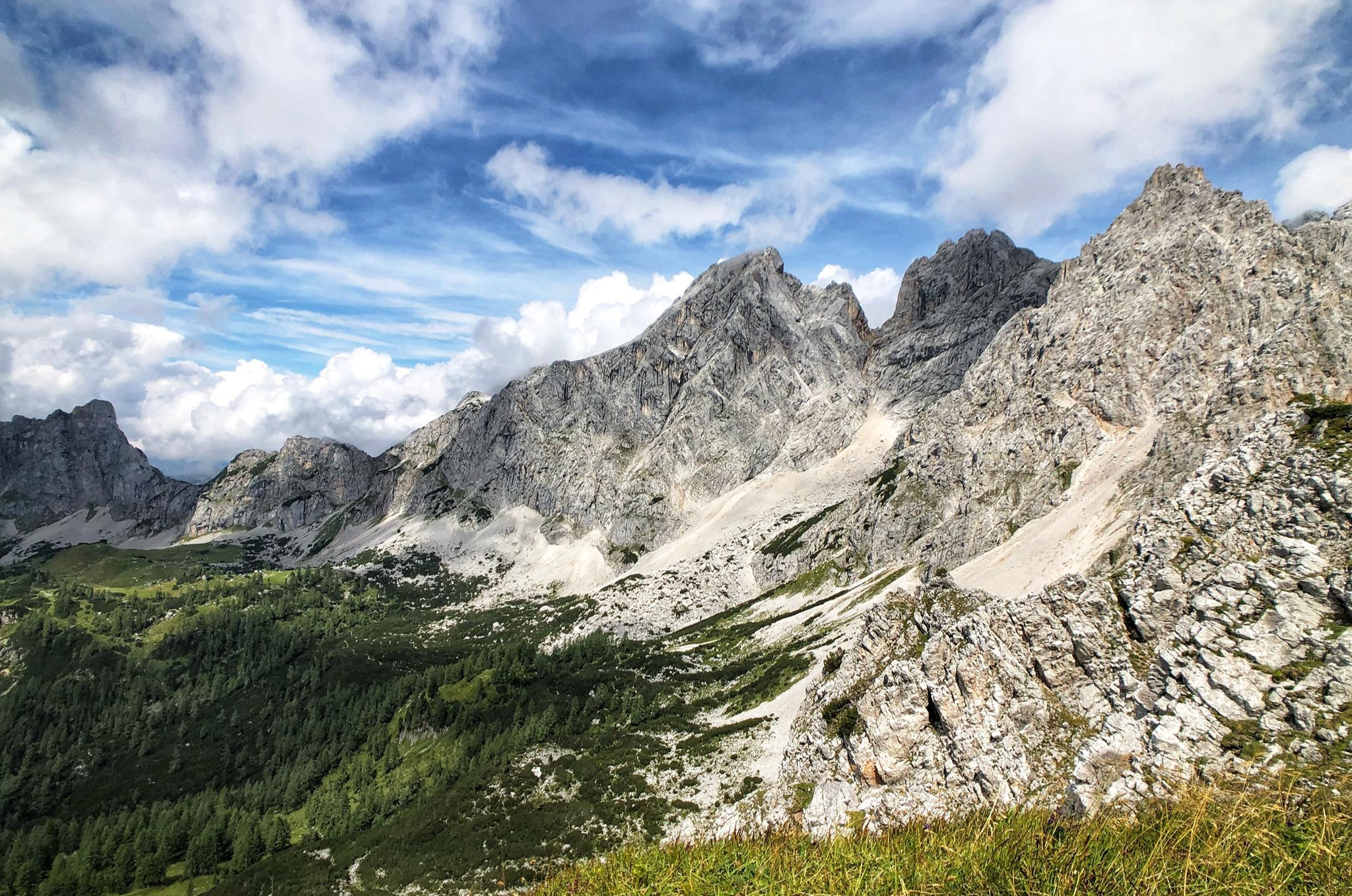
The Dachstein Rundwanderweg – Eight days in the Dachsteingebirge
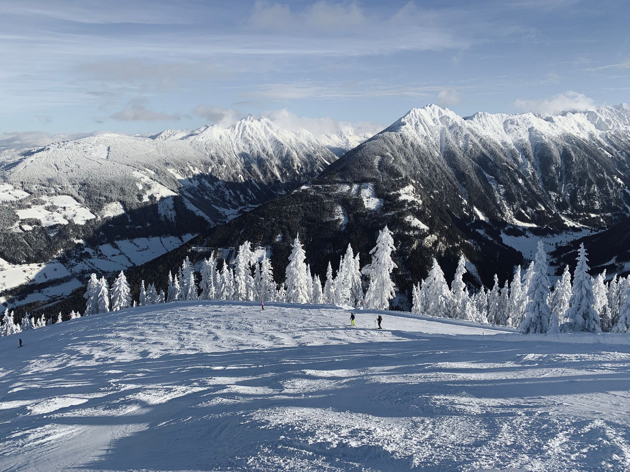
Cross-country in Schladming-Dachstein in Austria – 6 snowshoe Tours
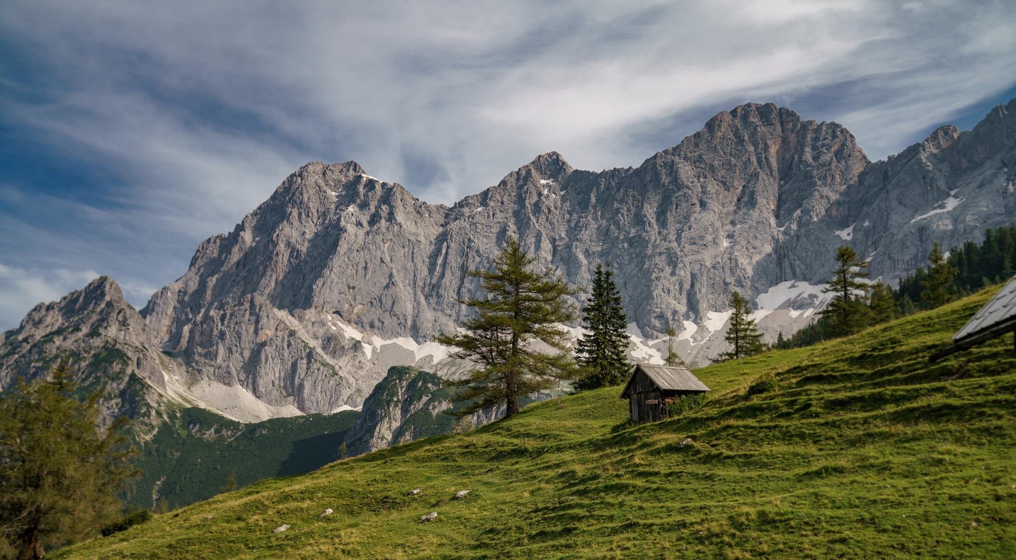
Dachstein hiking tour – 8 days in UNESCO World Heritage mountains

Discover Styria in Austria on foot – ‘From Glacier to Wine’ North Route
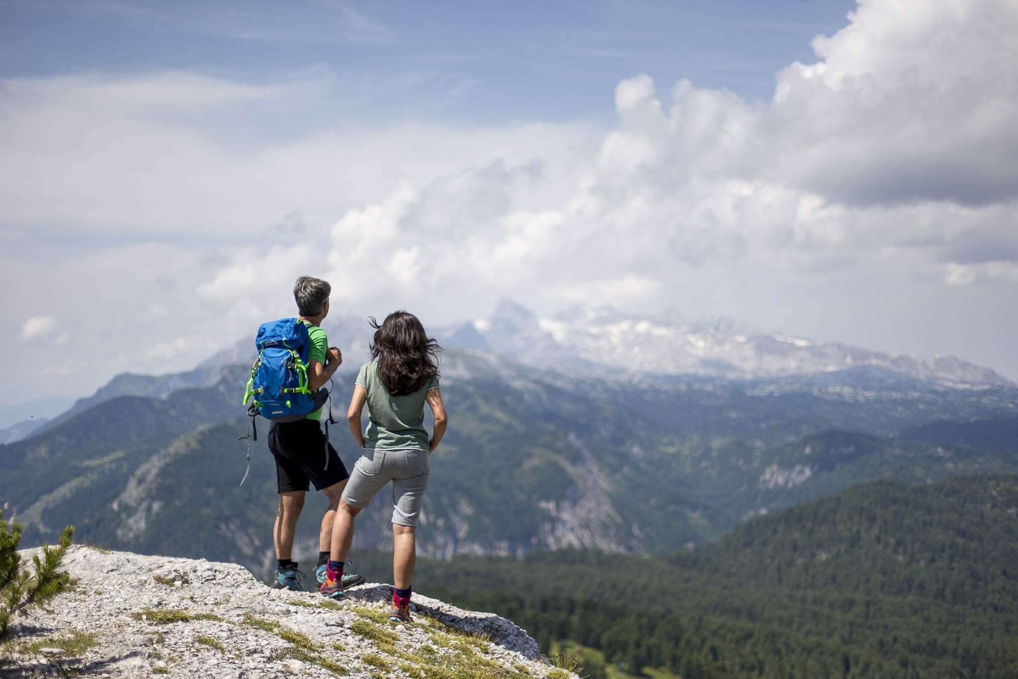
The most beautiful hikes for your summer in Styria

Magnificent mountain biking on Austria's alpine pastures
Other adventures around the Kemet mountains


Tips from the Community

Water filled with cool drinks on a hot summer day. A voluntary donation for a cool drink – a dream! 🤩
0
0

Even though the summit is "only" at a good 2000 meters, the climb is more than worth it. It can be reached from the parking lot in Weisenbach in about 3.5 minutes (if you're in good shape). The last few meters to the summit require some surefootedness, but otherwise it's a beautiful climb through the forest. The view is breathtakingly beautiful. I recommend the descent via Grafenbergsee (don't forget your swimming trunks 😉) and Ahornsee, as this is a very scenic route and allows you to experience the Alps and their nature/landscapes in all their diversity. For a round trip, you should plan on about 6-7 hours (19 km with 1400 m elevation gain).
0
0
A beautiful lake nestled in the forest. It can be reached in about 3 to 3.5 hours from the valley in Weissenbach (alternatively, via Kufstein, a 3.5-hour hike). If the weather is good, don't forget your swimsuit; the water is crystal clear and, for a mountain lake, pleasantly warm. A refreshing dip in the water is definitely worth it, and you'll almost always have the lake to yourself.
0
0

It was very pleasant there and the children had a lot of fun
0
0


Beautiful view of the lake and the mountains rising to the side in the distance.
0
0

Crossing the Dachstein plateau from Krippenstein to Weißenbach and taking a break at the unmanaged Grafenbergalm. It's beautiful here
1
0

After a short ascent, a beautiful view of the Ennstal and the Aicher leisure lake
2
0
Frequently Asked Questions
How many bus station hiking trails are available in the Kemet mountains region?
There are over 15 dedicated hiking routes in the Kemet mountains that are easily accessible from bus stations. These routes cater to various fitness levels, from easy strolls to challenging mountain ascents.
Are there any easy hiking trails accessible by bus in the Kemet mountains?
Yes, for those seeking a more relaxed experience, there are several easy trails. A great option is the Forest Path Along the Stream – Ennsweg Hiking Trail loop from Aulandschaft zwischen Weißenbach und Aich-Assach, which offers a gentle walk with minimal elevation gain, perfect for a leisurely day out.
What kind of natural attractions can I expect to see along these bus-accessible routes?
The Kemet mountains region boasts diverse natural beauty. Many routes feature stunning waterfalls, such as those found on the Gradenbach Waterfall – Ahorn Lake loop from Aulandschaft zwischen Weißenbach und Aich-Assach. You can also discover picturesque lakes like Ahornsee, and dramatic gorges such as the Öfen Gorge Road.
Are there any circular hiking routes that start and end at a bus stop?
Absolutely. Many of the trails are designed as loops, allowing you to start and finish at the same bus station. For example, the Gradenbach Waterfall – Ahorn Lake loop from Aulandschaft zwischen Weißenbach und Aich-Assach is a fantastic circular option that brings you back to your starting point.
What are some challenging bus-accessible hikes in the Kemet mountains?
For experienced hikers, the region offers several demanding trails. The Gradenbach Valley to Ahornsee Trail is a difficult route with significant elevation gain, providing a rewarding challenge and spectacular views.
Can I find trails that lead to mountain summits or viewpoints from a bus station?
Yes, you can reach impressive viewpoints and summits. The Small lake with waterfall – Kufstein Summit Cross loop from Burgstaller offers a challenging ascent to a summit cross, providing panoramic vistas of the surrounding landscape. You can also reach the Stoderzinken summit cross via various trails.
What do other hikers enjoy most about the bus-accessible trails in the Kemet mountains?
The area is highly rated by the komoot community, with an average score of 4.5 stars. Reviewers often praise the diverse landscapes, from serene forest paths to challenging mountain ascents, and the convenience of accessing these trails directly from public transport.
Are there any trails suitable for families with children?
While specific 'family-friendly' routes are not explicitly categorized, easy trails like the Forest Path Along the Stream – Ennsweg Hiking Trail loop are generally suitable for families looking for a gentle walk. Always check the route details for distance and elevation to ensure it matches your family's capabilities.
Are there any huts or places to rest along the bus station hiking trails?
Yes, some routes pass by mountain huts where you can take a break and refuel. For instance, the Ritzinger Hut – Viehberg Alm and the Steinerhaus mountain inn are popular spots for hikers to rest and enjoy refreshments.
What is the typical duration of these bus-accessible hikes?
The duration varies significantly depending on the trail's difficulty and length. Easy routes, like the Forest Path Along the Stream – Ennsweg Hiking Trail loop, can be completed in just over an hour, while more difficult and longer trails, such as the Ahorn Lake – Gradenbach Waterfall loop, can take upwards of 7-8 hours.
Can I find trails that feature both lakes and waterfalls?
Yes, the region is known for its beautiful water features. The Ahorn Lake – Gradenbach Waterfall loop from Aulandschaft zwischen Weißenbach und Aich-Assach is an excellent example, combining the serene beauty of Ahorn Lake with the dynamic spectacle of the Gradenbach Waterfall.
Most popular routes around the Kemet mountains
Most popular attractions around the Kemet mountains

Get inspired with the komoot mobile app


Explore more
Browse the best Hikes in other regions.
