The best mountain hikes around the Kemet mountains
4.8
(280)
2,731
hikers
13
hikes
Mountaineering routes around the Kemet mountains feature a diverse landscape, with trails leading to prominent summits like Stoderzinken and Freienstein. The region offers a mix of challenging ascents and more moderate paths, characterized by significant elevation gains. These routes often traverse varied terrain, providing opportunities for both experienced mountaineers and those seeking less strenuous climbs. The area is known for its well-defined trails that cater to different skill levels.
Best mountaineering routes around the Kemet mountains
- The most popular mountaineering…
Last updated: July 5, 2026
4.8
(25)
191
hikers
Hard mountaineering route. Good fitness required. Sure-footedness, sturdy shoes and alpine experience required.
4.8
(21)
163
hikers
Hard mountaineering route. Great for any fitness level. Sure-footedness, sturdy shoes and alpine experience required.

Sign up for free
4.6
(8)
59
hikers
Hard mountaineering route. Good fitness required. Sure-footedness, sturdy shoes and alpine experience required.
5.0
(1)
18
hikers
Hard mountaineering route. Good fitness required. Sure-footedness, sturdy shoes and alpine experience required.
5.0
(1)
16
hikers
Hard mountaineering route. Good fitness required. Sure-footedness, sturdy shoes and alpine experience required.
Get access to more routes and recommendations from other explorers.
Sign up for free
Already have an account?
Our route recommendations are based on thousands of hikes, rides, and runs completed by other people on komoot.
Start today with a free account
Your next adventure awaits.
Login or Signup
Popular around Kemet mountains
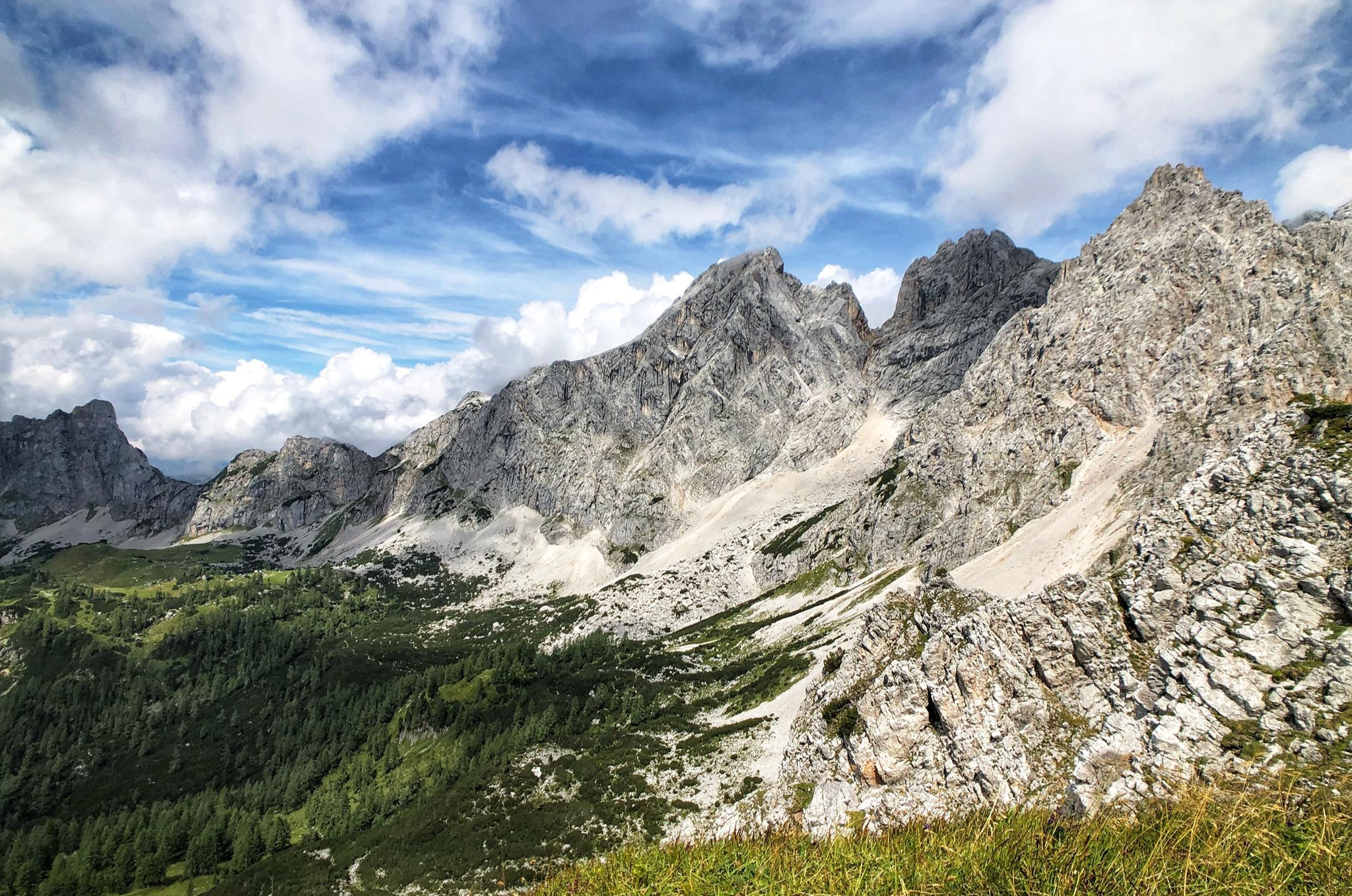
The Dachstein Rundwanderweg – Eight days in the Dachsteingebirge

Magnificent mountain biking on Austria's alpine pastures
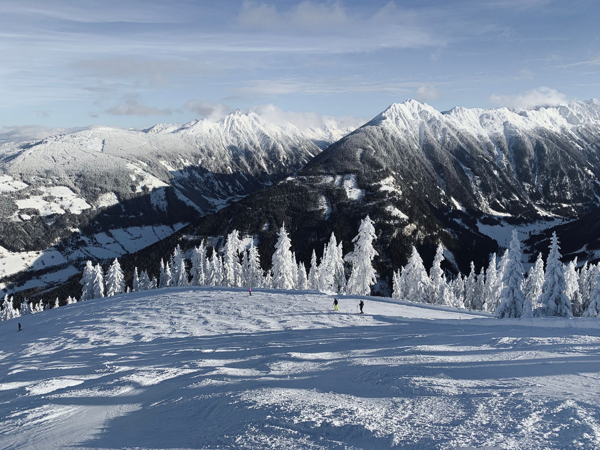
Cross-country in Schladming-Dachstein in Austria – 6 snowshoe Tours
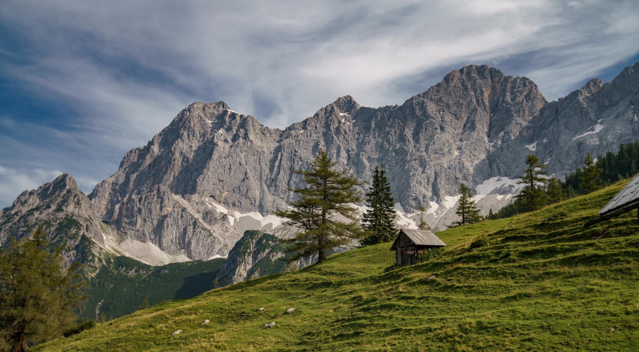
Dachstein hiking tour – 8 days in UNESCO World Heritage mountains

Discover Styria in Austria on foot – ‘From Glacier to Wine’ North Route
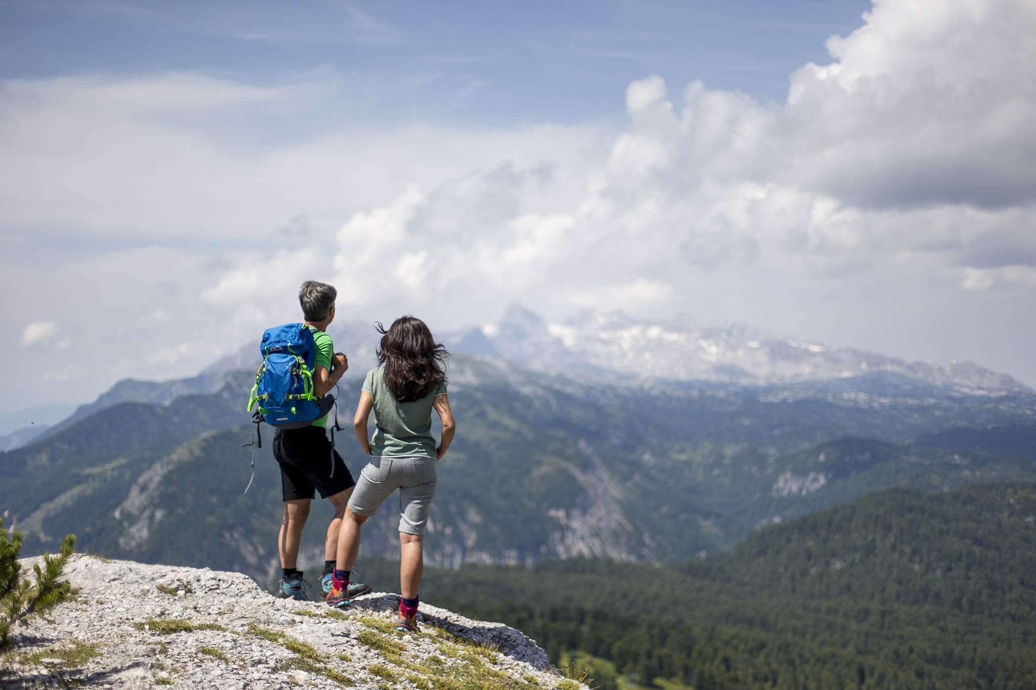
The most beautiful hikes for your summer in Styria
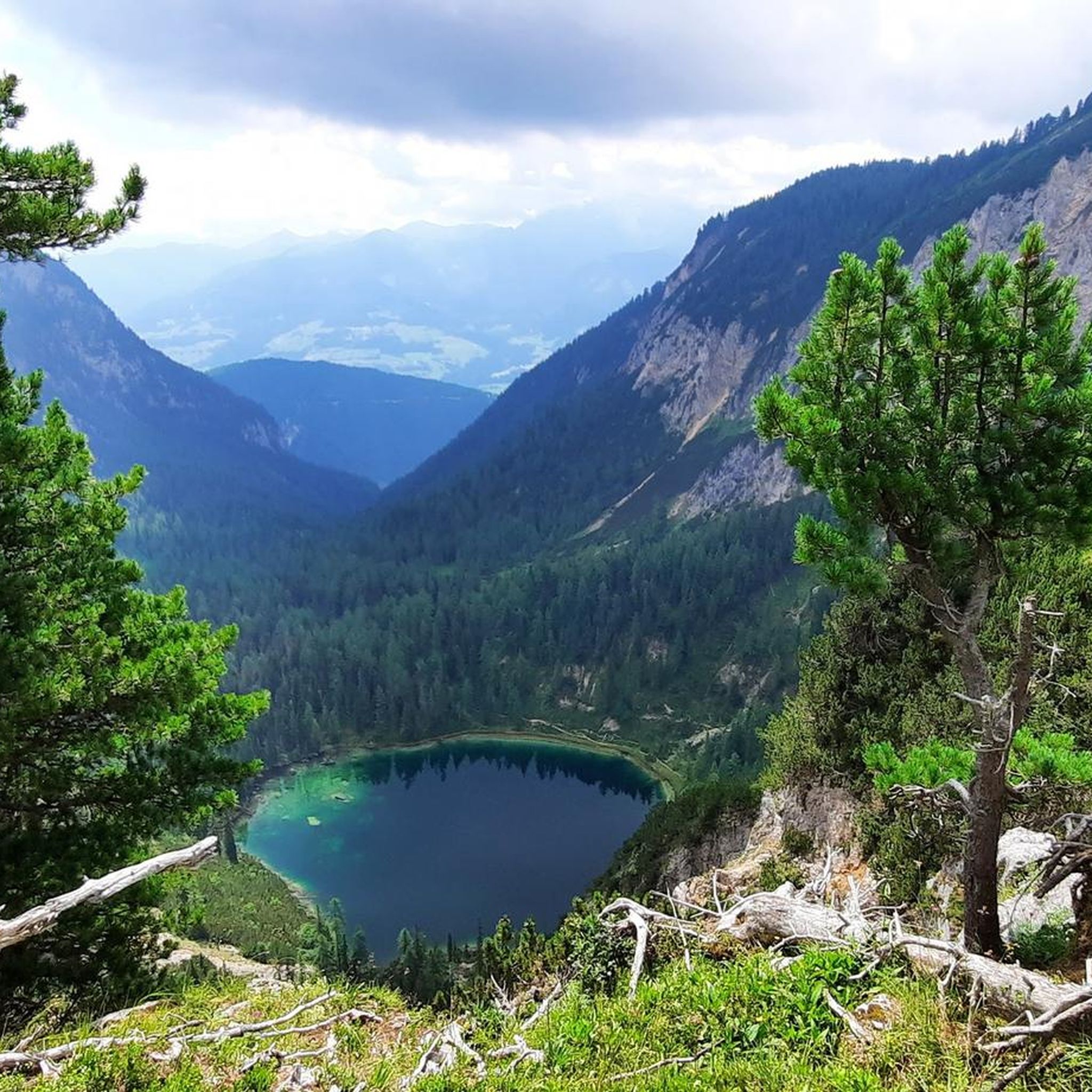
Hiking around the Kemet mountains
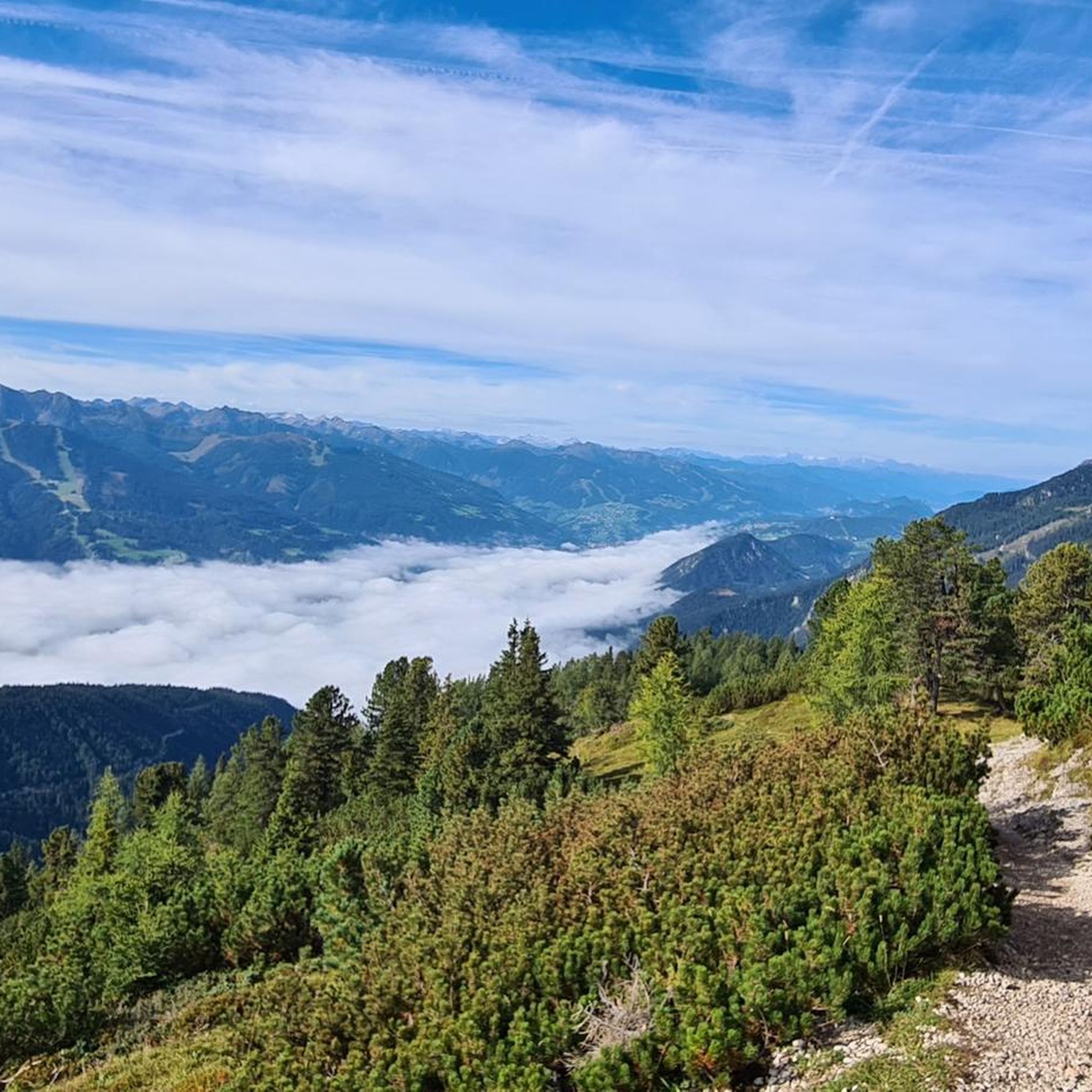
MTB Trails around the Kemet mountains
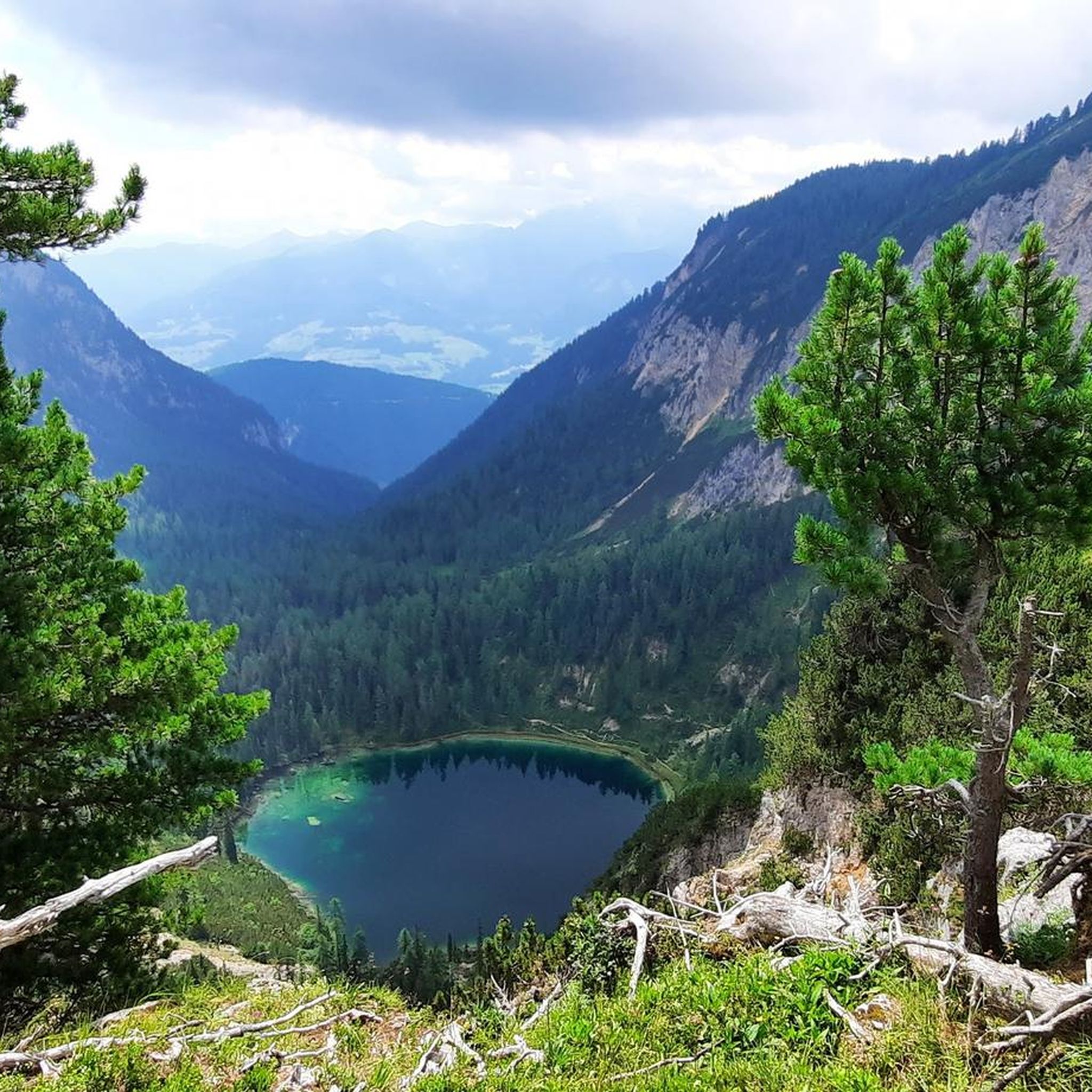
Cycling around the Kemet mountains
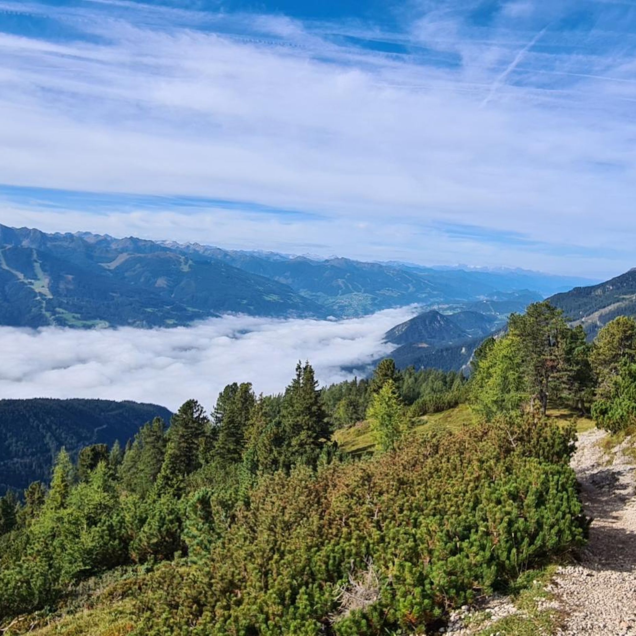
Road Cycling Routes around the Kemet mountains
Other adventures around the Kemet mountains


Tips from the Community

From Assach, the ascent is very comfortable up to the Assacher Scharte, followed immediately by a steep, rope-secured section. The summit ridge continues relatively flat, and shortly before the summit, there's another rope-secured section. Overall, every potentially dangerous and exposed section is well secured with ropes and footholds.
0
0

When descending from the Stoderzinken you have a breathtaking view of the Dachstein Mountains.
0
0

Here you can find delicious apple strudel
0
0
Good starting point for hikes, but you have to use the toll road (20 euros).
0
0

you can park here ----- on the Stoderzinken you can enjoy a great view and often watch paragliders taking off
0
0

At the crossroads where the path to the summit branches off.
1
0

Frequently Asked Questions
How many mountaineering routes are available in the Kemet mountains?
There are 14 mountaineering routes documented in the Kemet mountains, catering to various skill levels. You'll find 1 easy route, 3 moderate routes, and 10 difficult routes for more experienced mountaineers.
Are there any circular mountaineering routes in the Kemet mountains?
Yes, several routes in the Kemet mountains are circular. For example, the difficult route Stoderzinken Summit – Friedenskircherl Stoderzinken loop from Gradenbachfall is a 3.6 km loop. Another option is the moderate To the Friedenskircherl chapel – Peter Rosegger Monument loop from Gradenbachfall, which is a 2.4 km loop.
What kind of landmarks or natural features can I expect to see along the mountaineering routes?
The Kemet mountains offer a variety of interesting sights. You can visit the Friedenskircherl chapel, a notable religious building, or see the impressive Gradenbach Waterfall. Many routes also lead to the Stoderzinken summit cross, offering panoramic views.
Are there any routes suitable for beginners or those looking for a less strenuous climb?
While many routes are challenging, there are options for less strenuous climbs. The guide includes 1 easy route and 3 moderate routes. A good moderate option is the To the Friedenskircherl chapel – Peter Rosegger Monument loop from Gradenbachfall, which is 2.4 km long and takes about 49 minutes.
What do other mountaineers say about the Kemet mountains?
The Kemet mountains are highly regarded by the komoot community, with an average rating of 4.8 stars from over 290 reviews. Mountaineers often praise the diverse terrain and the well-defined trails that cater to different skill levels.
Are there any routes that include a waterfall?
Yes, you can find routes that pass by natural features like waterfalls. The Gradenbach Waterfall is a notable highlight in the area, and some routes start or pass near Gradenbachfall, offering opportunities to see it.
Which routes offer summit ascents in the Kemet mountains?
Many routes in the Kemet mountains are focused on summit ascents. You can tackle the Stoderzinken Summit – Friedenskircherl Stoderzinken loop from Gradenbachfall or the Freienstein Summit – Freienstein Ascent loop from Abenteuerpark Gröbming for challenging climbs to prominent peaks.
What is a longer, more challenging mountaineering route in the Kemet mountains?
For a longer and more challenging experience, consider the difficult Stoderzinken Summit – Friedenskircherl Stoderzinken loop from Katastralgemeinde Aich. This route spans 8.8 km and typically takes around 4 hours and 9 minutes to complete, featuring significant elevation gains.
Are there any lakes near the mountaineering routes in the Kemet mountains?
Yes, the region features several beautiful lakes. You might encounter Lake Grafenberg, Almseeteich, or a small lake with waterfall. While not directly on all mountaineering paths, they are nearby attractions worth exploring.
What is the typical difficulty level for mountaineering in the Kemet mountains?
Mountaineering in the Kemet mountains is generally challenging, with 10 out of 14 routes classified as difficult. These routes often involve significant elevation gains and varied terrain. However, there are also 3 moderate and 1 easy route available for those seeking less demanding options.
How long do mountaineering routes in the Kemet mountains typically take?
Route durations vary significantly based on difficulty and length. For instance, a moderate route like To the Friedenskircherl chapel – Peter Rosegger Monument loop from Gradenbachfall can take about 49 minutes, while a difficult one such as Stoderzinken Summit – Friedenskircherl Stoderzinken loop from Katastralgemeinde Aich might require over 4 hours.
Most popular routes around the Kemet mountains
Most popular attractions around the Kemet mountains

Get inspired with the komoot mobile app


Explore more
Browse the best Mountain Hikes & Routes in other regions.
