The best traffic-free bike rides around Hohe Schrecke
4.0
(3)
48
riders
6
rides
Gravel biking around Hohe Schrecke offers extensive natural landscapes, characterized by large, continuous deciduous forests and a hilly ridge terrain. The region, primarily located in Thuringia, Germany, features a network of forest roads and paths suitable for unpaved riding. The topography includes ascents and descents, with the highest point at Wetzelshain (370.1 meters), providing varied challenges for gravel bikers. The Unstrut river flows around the area, adding scenic views to the routes.
Best no traffic gravel bike trails around Hohe…
Last updated: July 13, 2026
4.0
(1)
11
riders
35.6km
02:15
410m
410m
Hard gravel ride. Good fitness required. You may need to push your bike for some segments of this route.
3.0
(1)
2
riders
30.2km
01:47
300m
310m
Moderate gravel ride. Good fitness required. Mostly paved surfaces. Suitable for all skill levels.

Sign up for free
2
riders
Moderate gravel ride. Good fitness required. Mostly paved surfaces. Suitable for all skill levels.
5
riders
59.7km
03:19
380m
380m
Moderate gravel ride. Good fitness required. Mostly paved surfaces. Suitable for all skill levels.
2
riders
61.3km
03:40
520m
520m
Hard gravel ride. Very good fitness required. You may need to push your bike for some segments of this route.
Our route recommendations are based on thousands of hikes, rides, and runs completed by other people on komoot.
Start today with a free account
Your next adventure awaits.
Login or Signup
Popular around Hohe Schrecke
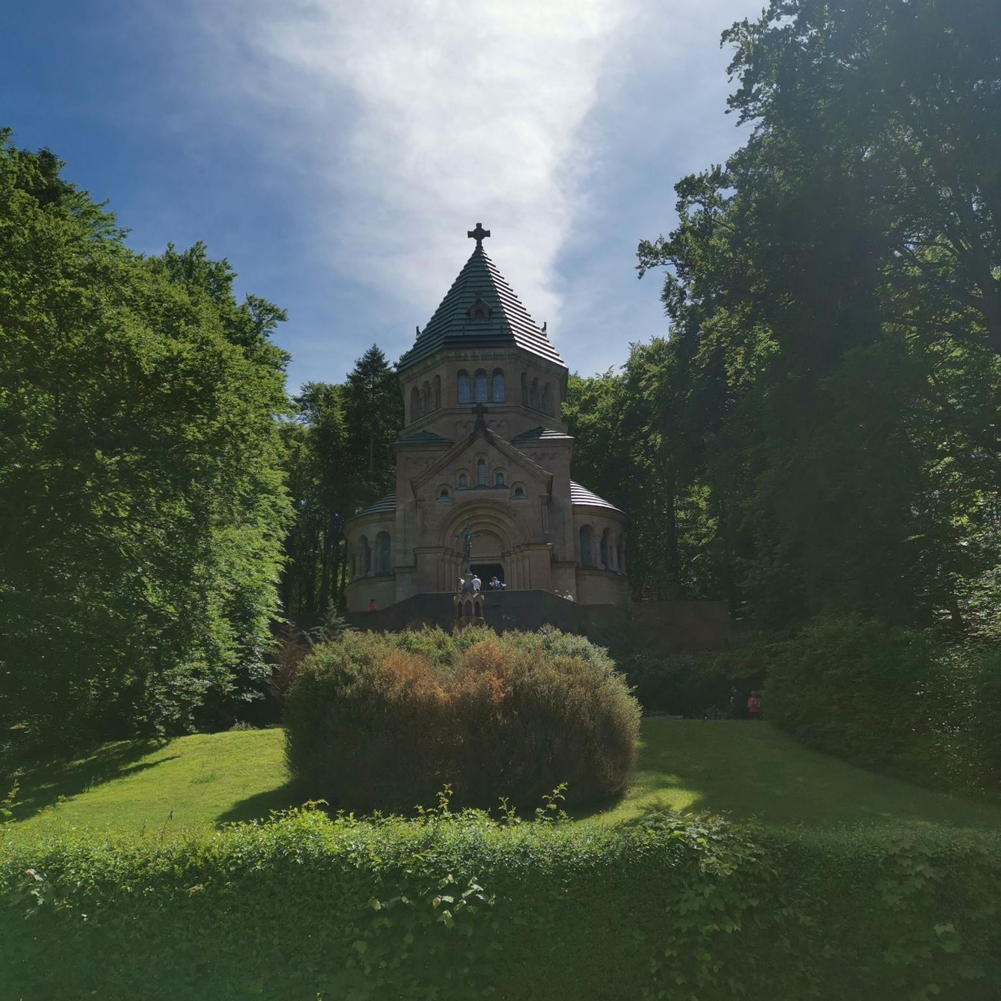

Tips from the Community


Gaststätte zum fröhlichen Wanderer: https://www.gaststaette-garnbach.de The food always tastes great!
0
0

At the site where the Nebra Sky Disk was discovered, a 30-meter-high observation tower now stands on the Mittelberg mountain. The modern tower is tilted 10° and oriented north-south, like a sundial hand. It provides a view of astronomically significant points such as the Brocken and makes Bronze Age celestial observations more comprehensible. The tower symbolizes the interplay of heaven, earth, and humanity—then as it does today—and is freely accessible to visitors at all times.
5
0

Super nice view of the lock and the castle.
0
0


The restaurant is still open - good for all hikers, cyclists...
1
0

There seem to be many more bike paths in Thuringia than in Saxony-Anhalt. Therefore, I highly recommend the bike paths there.
1
0
Frequently Asked Questions
How many no-traffic gravel bike trails are available in Hohe Schrecke?
There are 8 dedicated no-traffic gravel bike trails around Hohe Schrecke featured in this guide. These routes offer a range of experiences, from moderate to difficult, allowing you to explore the region's natural beauty away from vehicular traffic.
What kind of terrain can I expect on gravel bike trails in Hohe Schrecke?
Hohe Schrecke is characterized by its extensive, untouched deciduous forests, particularly beech forests, and a hilly topography. You can expect varied unpaved surfaces, including forest roads and natural paths, with engaging ascents and descents. The region's focus on wilderness areas means many trails offer a true off-road experience.
When is the best time of year to go gravel biking in Hohe Schrecke?
The extensive deciduous forests of Hohe Schrecke make spring and autumn particularly beautiful for gravel biking. In spring, you'll witness the fresh green foliage, while autumn offers stunning colors. Summer is also pleasant, with the forest canopy providing shade. Always check local weather conditions before heading out.
Are there gravel bike trails suitable for beginners or families in Hohe Schrecke?
While many routes in this guide are rated moderate to difficult, the region does offer paths that can be enjoyed by those seeking a less strenuous ride. For a moderate option, consider the Unstrut Cycle Route – View of Wendelstein Castle loop from Reinsdorf, which features relatively low elevation gain.
What natural features or landmarks can I discover along the gravel bike trails in Hohe Schrecke?
Hohe Schrecke is rich in natural beauty and historical sites. You might encounter the scenic Unstrut river, vast beech forests, and diverse wildlife. Notable attractions include the Bärental Suspension Bridge, offering impressive views over the Bärental valley, and the Wooden Suspension Bridge on the Rabensweg. The region also features historical remnants and unique natural formations like the Wooden Sculpture Trail Garnbach.
Are there any circular gravel bike routes in Hohe Schrecke?
Yes, many of the no-traffic gravel routes in Hohe Schrecke are designed as circular loops, allowing you to start and end at the same point. An example is the Mittelberg Lookout Tower – Mittelberg Observation Tower loop from Landgrafroda, which offers a moderate challenge and brings you back to your starting point.
Where can I park my car when accessing gravel bike trails in Hohe Schrecke?
Parking options vary depending on the specific starting point of your chosen trail. Many routes begin near villages or designated trailheads where parking is available. For instance, routes like the Finnebahn Cycle Path – Arch Bridge Near Rothenberga loop from Hauteroda typically have parking facilities in or near the starting village of Hauteroda.
Can I bring my dog on the gravel bike trails in Hohe Schrecke?
Hohe Schrecke is a nature-rich area, and generally, dogs are welcome on trails, provided they are kept on a leash to protect wildlife and ensure the safety of other users. Always respect local regulations, especially within designated nature reserve areas, to ensure a pleasant experience for everyone.
What do other gravel bikers enjoy the most about gravel biking in Hohe Schrecke?
The Hohe Schrecke region is highly rated by the komoot community, with an average score of 4.3 stars. Reviewers often praise the quiet, natural environment, the extensive network of forest paths, and the opportunity to experience true wilderness away from traffic. The varied terrain and scenic views are also frequently highlighted.
Are there places to rest or find refreshments along the gravel bike routes?
While Hohe Schrecke emphasizes its wilderness character, you can find facilities and rest areas. For example, the Am Langen Tal – Touringen Stamp Station No. 118 and the Rest area Am Wiegental Wildnisweg – Touringen stamp station No. 123 offer places to pause. Some routes may pass through or near villages where cafes or guesthouses can be found, but it's always advisable to carry sufficient water and snacks.
How does the 'no traffic' aspect enhance the gravel biking experience in Hohe Schrecke?
The 'no traffic' focus means these gravel trails are specifically chosen to keep you away from roads with cars, allowing for a more immersive and peaceful experience. You can fully enjoy the sounds of nature, the fresh air, and the feeling of being deep within the forest, without the distraction or danger of vehicles. This is particularly valuable in Hohe Schrecke's extensive wilderness areas.
Most popular routes around Hohe Schrecke
Most popular attractions around Hohe Schrecke

Get inspired with the komoot mobile app


Explore more
Browse the best Gravel rides in other regions.
