The best road cycling routes around Hohe Schrecke
4.5
(58)
1,038
riders
76
rides
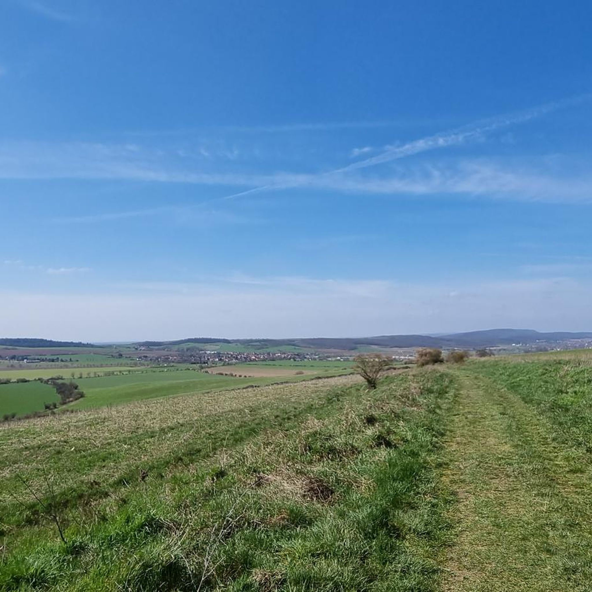
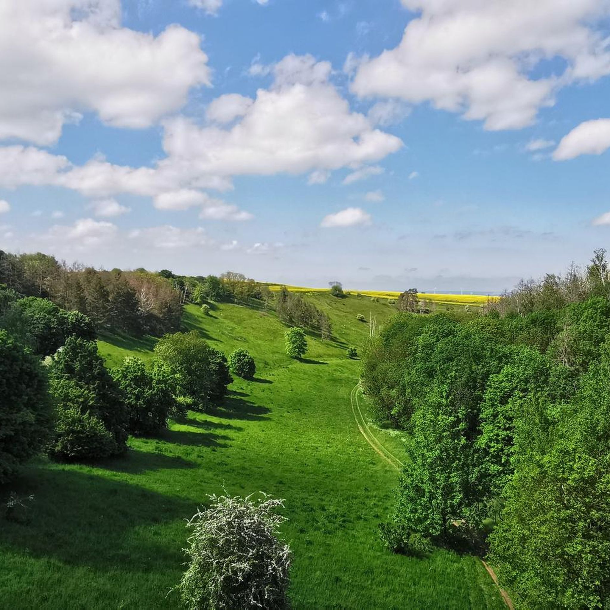
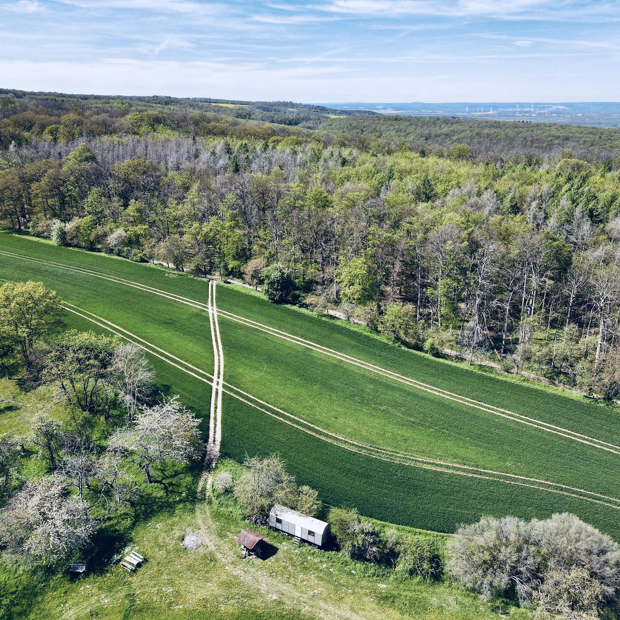
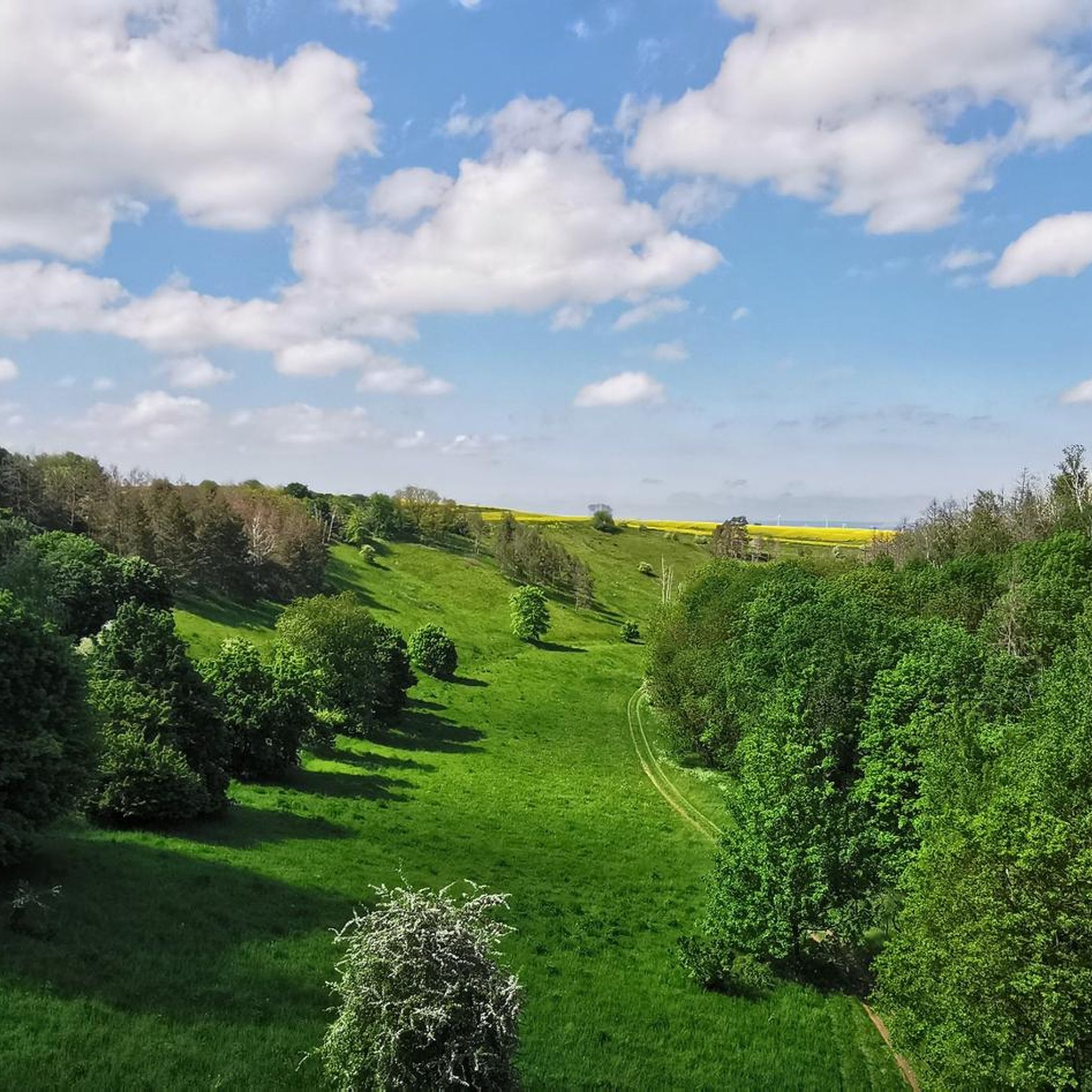
Road cycling around Hohe Schrecke offers varied terrain across a ridge of hills in Thuringia, Germany. The region is characterized by extensive, unbroken deciduous forests, including ancient beech woods, and an undulating landscape. The geological foundation consists of Bunter sandstone, contributing to the diverse environment. The highest point, Wetzelshain, reaches 370.1 meters, providing a hilly experience for cyclists.
Best road cycling routes around Hohe Schrecke
- The most popular road cycling route is Laucha Unstrut Weir loop from Donndorf, a…
Last updated: July 8, 2026
5.0
(1)
4
riders
69.7km
03:00
450m
450m
Moderate road ride. Good fitness required. Some segments of this route may be unpaved and difficult to ride.
11
riders
42.8km
02:00
480m
480m
Moderate road ride. Good fitness required. Mostly well-paved surfaces and easy to ride.

Sign up for free
11
riders
31.8km
01:18
130m
130m
Easy road ride. Great for any fitness level. Mostly well-paved surfaces and easy to ride.
5.0
(5)
9
riders
Moderate road ride. Great for any fitness level. Some segments of this route may be unpaved and difficult to ride.
5
riders
33.1km
01:35
250m
250m
Moderate road ride. Great for any fitness level. Some segments of this route may be unpaved and difficult to ride.
Get access to more routes and recommendations from other explorers.
Sign up for free
Already have an account?
Our route recommendations are based on thousands of hikes, rides, and runs completed by other people on komoot.
Start today with a free account
Your next adventure awaits.
Login or Signup
Tips from the Community

Beautiful section of the Unstrut cycle path between the Arche and Nebra, directly along the Unstrut river.
0
0

Opposite the church, you can buy the finest honey for €4 or €6.
0
0

The bike path begins near Roßleben. It has a good surface, also suitable for inline skating.
0
0

Very worth seeing
0
0

Büchel is located in the northeastern Thuringian Basin, on the right bank of the Lossa/Unstrut Canal, a good four kilometers from its confluence with the Unstrut River. To the north lies the Thuringian Gate between the Hainleite and Schmücke mountain ranges. https://de.wikipedia.org/wiki/B%C3%BCchel_(Th%C3%BCringen)
3
0
Büchel is a municipality in the Sömmerda district of Thuringia. It belongs to the Kindelbrück administrative community, which has its administrative seat in the rural municipality of Kindelbrück. https://de.wikipedia.org/wiki/B%C3%BCchel_(Th%C3%BCringen)
3
0

nice bike path away from the road
0
0

Rest area at the Thuringian Gate
0
0
Frequently Asked Questions
How many road cycling routes are available in Hohe Schrecke?
There are over 75 road cycling routes available in Hohe Schrecke, offering a wide variety of options for different preferences and skill levels. These routes are highly rated by the komoot community, with an average score of 4.4 stars from over 50 reviews.
What kind of terrain can I expect when road cycling in Hohe Schrecke?
Hohe Schrecke features an undulating, hilly terrain with a geological foundation of Bunter sandstone. You'll primarily cycle through extensive, unbroken deciduous forests, including ancient beech woods. The highest point, Wetzelshain, reaches 370.1 meters, ensuring a dynamic and varied cycling experience.
Are there road cycling routes suitable for beginners or those looking for an easy ride?
Yes, Hohe Schrecke offers 13 easy road cycling routes. An excellent option for a more relaxed ride is the View of Sachsenburg – Unstrut Bridge at Oldisleben loop from Hauteroda, which is 31.8 km long and typically takes about 1 hour 18 minutes to complete.
Are there any long-distance road cycling routes in Hohe Schrecke?
For those seeking a longer ride, the Laucha Unstrut Weir loop from Donndorf is a popular choice. This moderate route spans 69.7 km and integrates with the Unstrut cycle path, offering scenic riverside sections and typically taking around 3 hours to complete.
What natural attractions can I see along the road cycling routes?
While cycling, you can immerse yourself in the region's natural beauty, passing through dense beech forests. Notable natural highlights include the Mägdesprung Rock, the ancient The Beech Tree (170 Years Old), and the Enzianberg. The region is also known for its diverse wildlife, including wildcats and black storks.
Are there any historical or cultural sights to explore while cycling?
Yes, Hohe Schrecke has historical interest. You can find remnants of ancient fortifications and castles such as Monraburg and Rabenswalde Castle. The Russian Chapel Hohe Schrecke also provides insights into the region's past during Soviet occupation.
What do other road cyclists enjoy most about road cycling in Hohe Schrecke?
The area is highly rated by the komoot community, with an average score of 4.4 stars. Cyclists often praise the varied terrain, the immersive experience of riding through extensive deciduous forests, and the blend of wilderness with cultural sights. The well-maintained network of routes caters to all fitness levels.
Are there any specific loop trails recommended for road cycling?
Many routes in Hohe Schrecke are designed as loops. Besides the longer Laucha Unstrut Weir loop from Donndorf, local cyclists also enjoy the moderate Our Lady's Church, Rastenberg – Junction 23 Wiehe loop from Wiehe, which leads through dense beech forests.
What is the best time of year for road cycling in Hohe Schrecke?
Given its extensive deciduous forests, spring, summer, and autumn are generally the best seasons for road cycling in Hohe Schrecke. These seasons offer pleasant temperatures and the most vibrant natural scenery, from lush green canopies to colorful autumn foliage.
Are there any challenging road cycling routes for advanced riders?
Yes, Hohe Schrecke offers 6 difficult road cycling routes for advanced riders seeking a more demanding experience. These routes often feature more significant climbs and varied surfaces, providing a dynamic challenge within the hilly landscape.
Can I combine road cycling with other activities or explore unique natural features?
Absolutely. You can visit the Suspension Rope Bridge over the Bärental, which offers impressive views and serves as a gateway to the Thuringian primeval forest path. The Wiegental Wilderness Path is another unique area where nature is allowed to develop unmanaged, forming part of the WWF's 'Thuringian Primeval Forest Paths' project.
Most popular routes around Hohe Schrecke
Most popular attractions around Hohe Schrecke

Get inspired with the komoot mobile app


Explore more
Browse the best Road cycling routes in other regions.
