The best road cycling routes around Maierhöfen
4.6
(815)
14,706
riders
234
rides
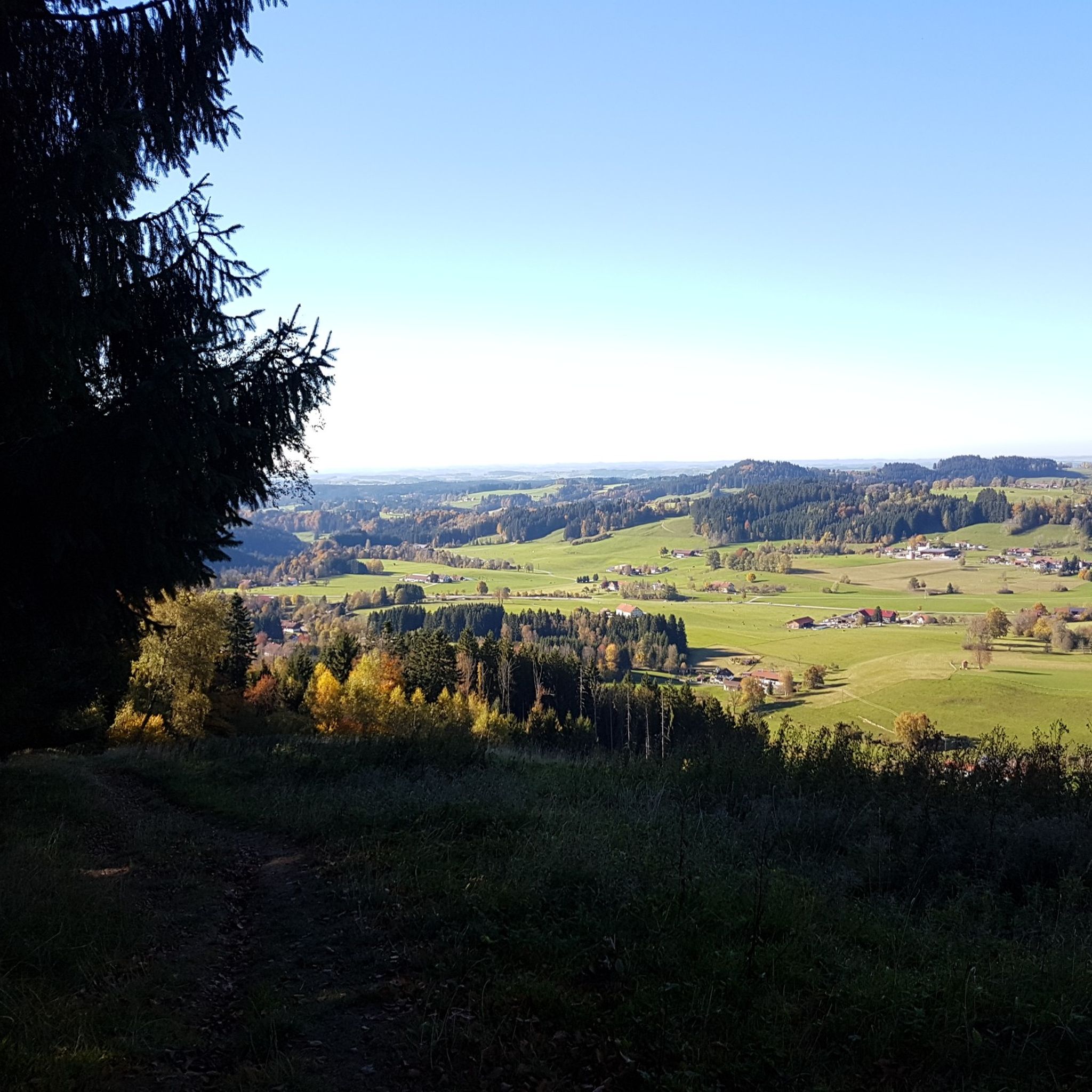
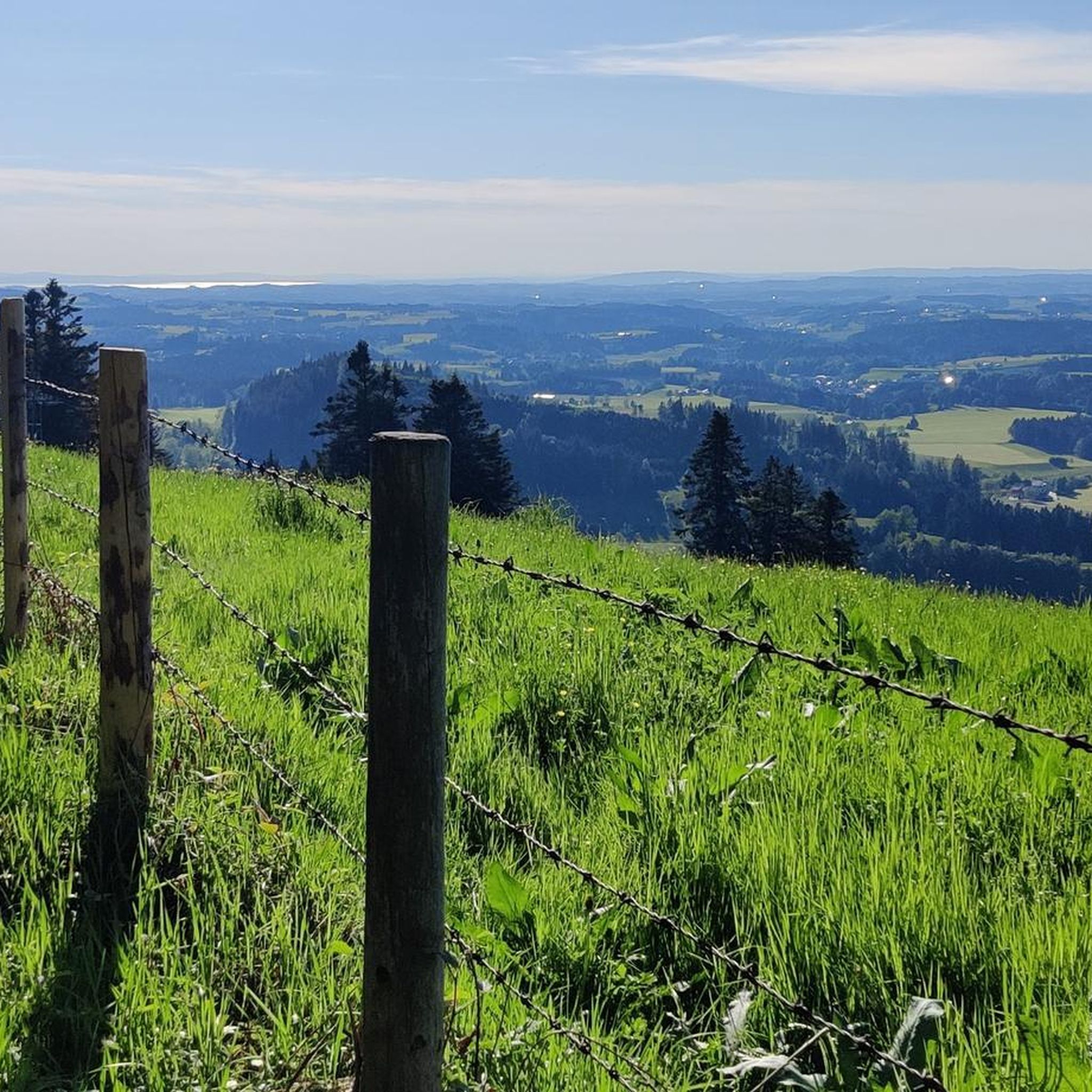
Road cycling routes around Maierhöfen are set within the Westallgäu region, characterized by gently rolling, wooded hills, green forests, and open meadows. The terrain offers a mix of gentle ascents and more challenging climbs, providing varied experiences for road cyclists. The area features valleys and elevated viewpoints, with proximity to larger bodies of water like the Großer Alpsee and Lake Constance. This landscape provides a diverse backdrop for road cycling, ranging from scenic valley rides to routes with significant elevation gain.
Best road cycling routes around Maierhöfen
- The most popular road cycling route is North Shore of the Großer Alpsee – Konstanz Valley loop from Isny im Allgäu, a 53.7 miles (86.4 km) trail that takes 3 hours 55 minutes to complete. This difficult route features views of the Großer Alpsee and traverses the Konstanz Valley.
- Another top favourite among local road cyclists is Lorenapass – View of Lake Constance loop from Maierhöfen, a difficult 66.4 miles (106.8 km) path. This route leads through the Lorenapass, offering distant views towards Lake Constance.
- Local road cyclists also love the Old Town of Isny im Allgäu – Scenic Route Near Weitnau loop from Isny im Allgäu, a 23.7 miles (38.1 km) trail leading through scenic areas near Weitnau, often completed in about 1 hour 46 minutes.
- Road cycling around Maierhöfen is defined by rolling hills, dense forests, and open meadows, with routes often incorporating climbs to elevated points. The network offers options for different ability levels, from moderate valley rides to difficult routes with significant elevation.
- The routes in Maierhöfen are highly rated by the komoot community with an average score of 4.6 stars from over 800 reviews. More than 17,000 road cyclists have used komoot to explore Maierhöfen's varied terrain.
Last updated: July 11, 2026
4.5
(2)
67
riders
Hard road ride. Very good fitness required. Mostly well-paved surfaces and easy to ride.
5.0
(4)
53
riders
107km
05:32
1,870m
1,870m
Hard road ride. Very good fitness required. Mostly well-paved surfaces and easy to ride.

Sign up for free
4.5
(2)
96
riders
Moderate road ride. Good fitness required. Mostly well-paved surfaces and easy to ride.
4.0
(2)
54
riders
71.7km
03:32
1,120m
1,120m
Hard road ride. Very good fitness required. Mostly well-paved surfaces and easy to ride.
5.0
(3)
33
riders
36.5km
01:37
280m
280m
Easy road ride. Great for any fitness level. Mostly well-paved surfaces and easy to ride.
Get access to more routes and recommendations from other explorers.
Sign up for free
Already have an account?
Our route recommendations are based on thousands of hikes, rides, and runs completed by other people on komoot.
Start today with a free account
Your next adventure awaits.
Login or Signup
Popular around Maierhöfen


Tips from the Community

Coming from Oberreute it is the easy ascent
0
0

The center of Scheidegg, around Zollstraße, features some beautiful old houses. The town itself lies on a high plateau and is the westernmost resort town in the Allgäu region.
7
0

Nice bench to rest
1
0

Beautiful view of the Bregenzerwald, it is worth a stop
1
0

Yes, a dream landscape
0
0
Beautiful route and beautiful views - surface a bit rough
0
0

What a panorama, unique!!
0
0
Frequently Asked Questions
How many road cycling routes are available around Maierhöfen?
Maierhöfen offers a wide variety of road cycling routes, with over 230 tours available. These routes cater to different skill levels, including 41 easy, 154 moderate, and 41 difficult options.
What kind of terrain can I expect when road cycling in Maierhöfen?
The region around Maierhöfen is characterized by gently rolling, wooded hills, green forests, and open meadows. You'll encounter a mix of terrain, from scenic valley rides to routes with more challenging climbs to elevated viewpoints, offering diverse experiences for road cyclists.
Are there challenging road cycling routes with significant climbs in Maierhöfen?
Yes, Maierhöfen offers several challenging routes with notable elevation gains. For instance, the Lorenapass – View of Lake Constance loop from Maierhöfen is a difficult 66.4-mile (106.8 km) trail that includes a substantial 1,869 meters of ascent, leading through the Lorenapass and offering distant views towards Lake Constance.
What natural attractions or viewpoints can I discover along road cycling routes?
Road cycling routes in Maierhöfen often pass by stunning natural features. You can find routes that offer views of the Großer Alpsee and Allgäu Alps, or climb to the Riedholzer Kugel (1,068 m), the highest point in West Allgäu, for panoramic vistas. The impressive Eistobel Nature Reserve, with its rock formations and waterfalls, is also a significant natural highlight in the broader region.
Are there any historic or cultural landmarks to see while road cycling?
Yes, the region offers cultural stops. You might cycle past historic towns like Wangen im Allgäu, known for its picturesque old town. Additionally, there are several castles nearby, such as Syrgenstein Castle or the Alt-Trauchburg Castle Ruins, which can add a historical dimension to your ride.
What is the best time of year for road cycling in Maierhöfen?
The best time for road cycling in Maierhöfen is generally from spring through autumn. During these seasons, the weather is most favorable for enjoying the rolling hills, green forests, and open meadows. The Eistobel Nature Reserve, for example, is particularly stunning in winter with frozen waterfalls, but road cycling is best enjoyed in warmer months.
Are there family-friendly road cycling options in Maierhöfen?
While many routes are designed for road cyclists, there are options suitable for various fitness levels, including 41 easy routes. These easier paths often traverse valleys and offer less demanding terrain, making them more accessible for families or those seeking a relaxed ride.
Where can I find parking for road cyclists in Maierhöfen?
Maierhöfen and surrounding towns like Isny im Allgäu typically offer public parking facilities that can accommodate cyclists. It's advisable to check local signage for specific parking regulations and availability, especially near popular starting points for routes.
Can I use public transport with my bike in Maierhöfen?
Public transport options in the region, such as bus lines, may offer bike carriage, but this often depends on the specific service, time of day, and available space. It's recommended to check with local transport providers like those operating routes from Isny to Maierhöfen for their current policies regarding bicycle transport.
Are there any themed road cycling routes, like the Allgäuer Cheese Road?
Yes, the region is home to the 'Great Cheese Happiness' route, part of the Allgäuer Cheese Road. This approximately 81 km route meanders through the charming, hilly landscape of the Westallgäu, connecting traditional dairies, farm shops, breweries, and inns, offering a unique themed cycling experience.
What do other road cyclists enjoy most about road cycling in Maierhöfen?
The road cycling routes in Maierhöfen are highly rated by the komoot community, with an average score of 4.6 stars from over 800 reviews. Cyclists often praise the diverse terrain, ranging from scenic valley rides to challenging climbs, and the beautiful natural backdrop of rolling hills, forests, and meadows.
Are there any long-distance road cycling routes available?
Yes, Maierhöfen offers several longer routes for endurance cyclists. For example, the Lorenapass – View of Lake Constance loop from Maierhöfen is a substantial 66.4-mile (106.8 km) trail, while the Leiblach Valley Scenic Road – Isny Old Town loop from Isny im Allgäu covers 56.8 miles (91.4 km).
Most popular routes around Maierhöfen
Most popular attractions around Maierhöfen

Get inspired with the komoot mobile app


Explore more
Browse the best Road cycling routes in other regions.
