The best traffic-free bike rides around Lake Bianco
3.8
(13)
194
riders
5
rides
No traffic gravel bike trails around Lake Bianco are characterized by high-alpine landscapes and glacial features within the Bernina Pass region. The area features a distinctive milky-white lake, surrounded by peaks up to 2,266 meters. Gravel routes often follow the lake's shore and connect to broader networks in the Engadin and Poschiavo valleys. Terrain varies from lakeside paths to more challenging sections with unpaved segments.
Best no traffic gravel bike trails around Lake Bianco
- The most popular no traffic gravel…
Last updated: July 12, 2026
5.0
(1)
5
riders
19.3km
01:43
650m
650m
Hard gravel ride. Very good fitness required. Mostly paved surfaces. Suitable for all skill levels.
24
riders
29.1km
01:47
400m
400m
Moderate gravel ride. Good fitness required. Mostly paved surfaces. Suitable for all skill levels.

Sign up for free
4.3
(4)
17
riders
Moderate gravel ride. Good fitness required. Mostly paved surfaces. Suitable for all skill levels.
3.0
(1)
25
riders
Moderate gravel ride. Good fitness required. Mostly paved surfaces. Suitable for all skill levels.
15
riders
Moderate gravel ride. Good fitness required. Mostly paved surfaces. Suitable for all skill levels.
Our route recommendations are based on thousands of hikes, rides, and runs completed by other people on komoot.
Start today with a free account
Your next adventure awaits.
Login or Signup
Popular around Lake Bianco
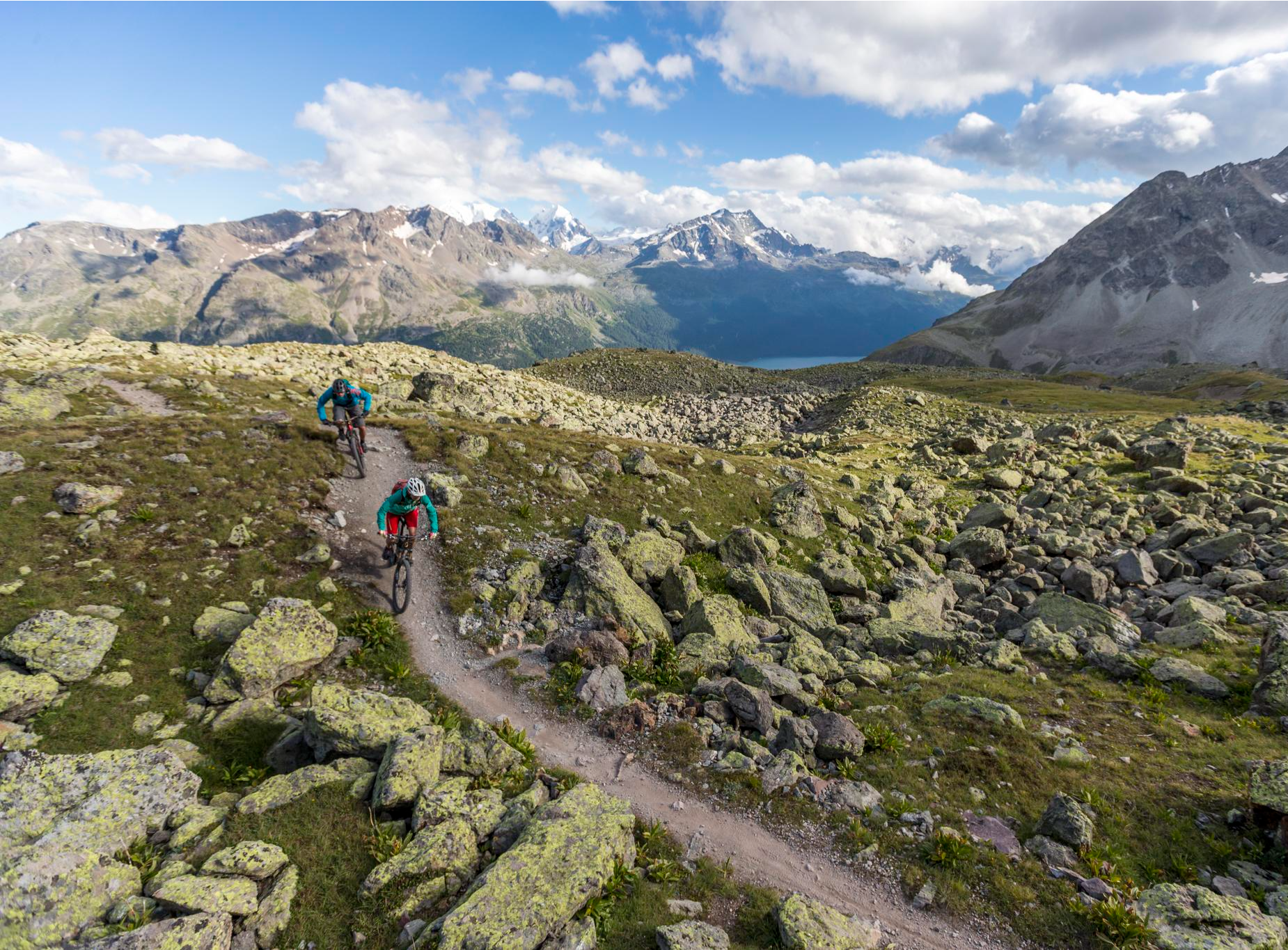
Consideration on the trails – it just makes sense!
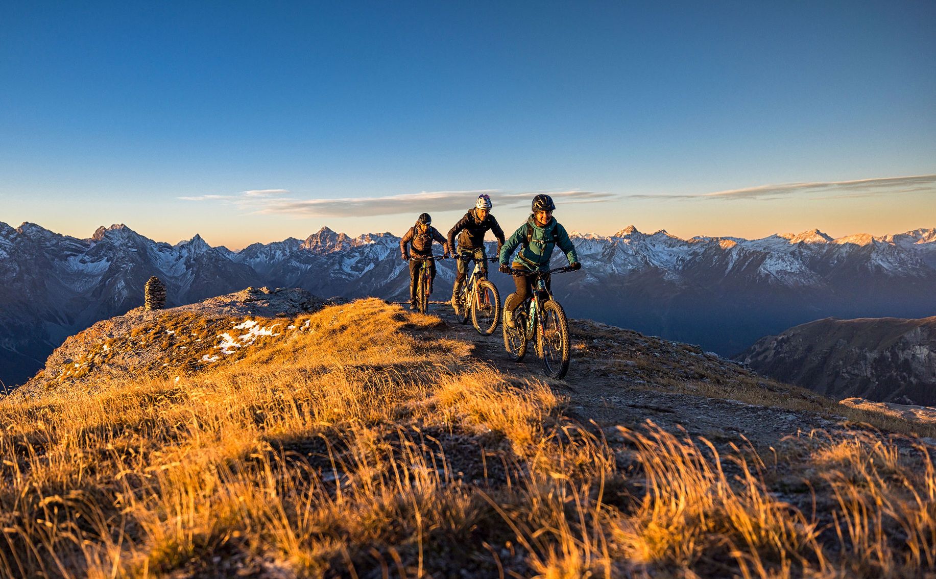
These 5 enduro bike tours will make you happy
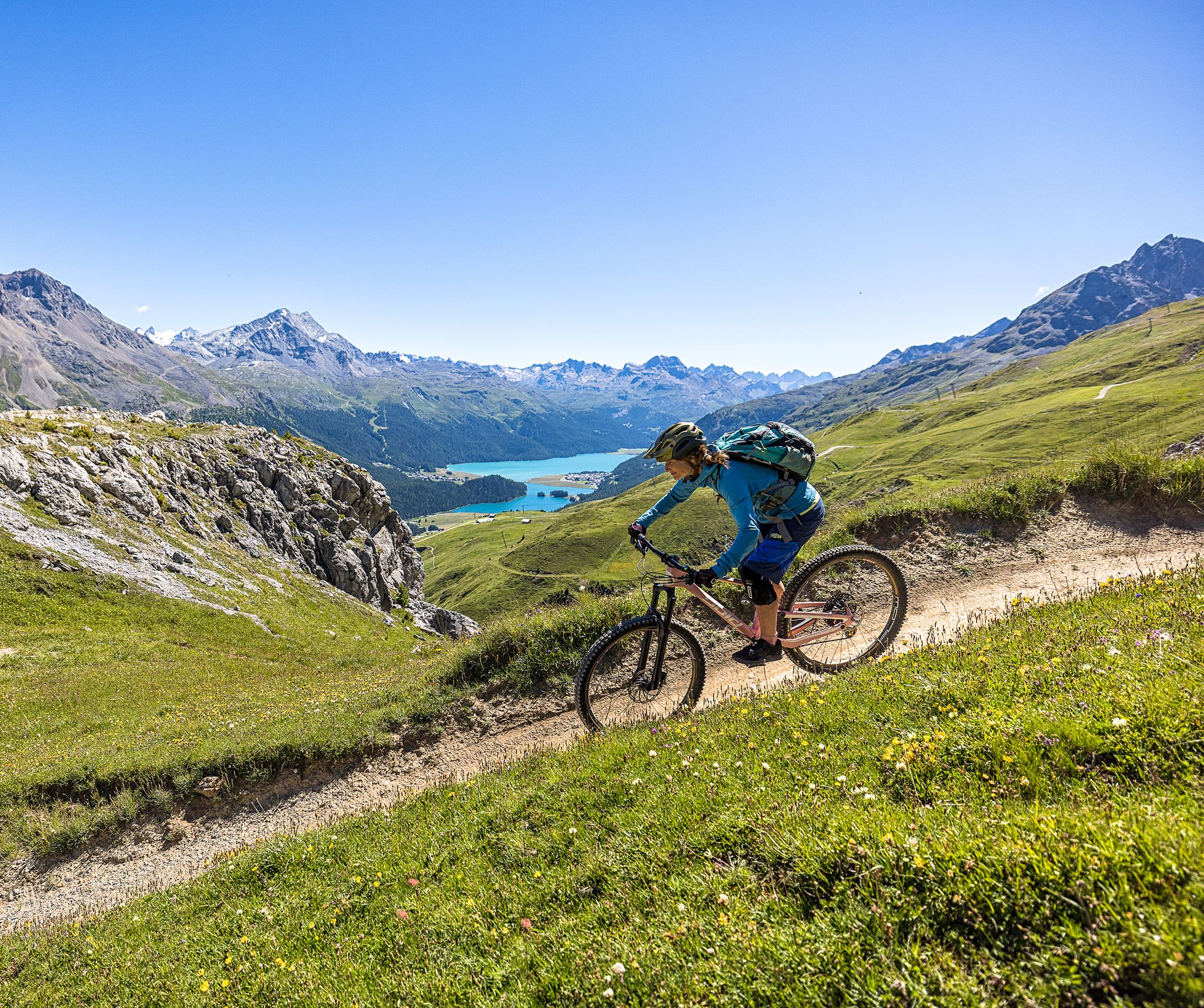
Trails with spectacular alpine panoramas – Engadin MTB region
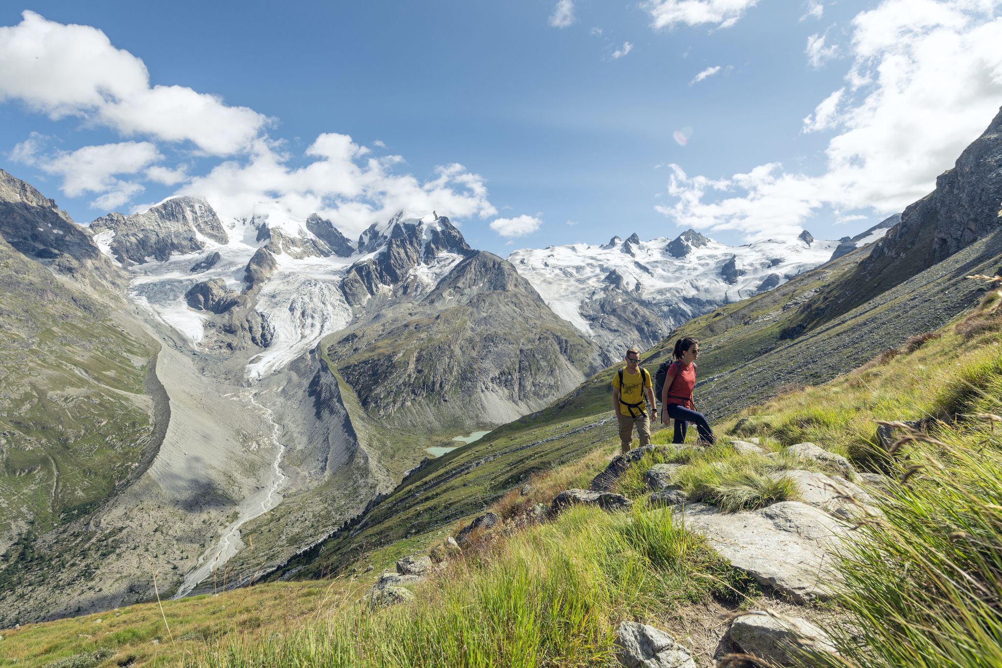
Via Engiadina and Bernina Tour – long-distance hiking in the Engadine
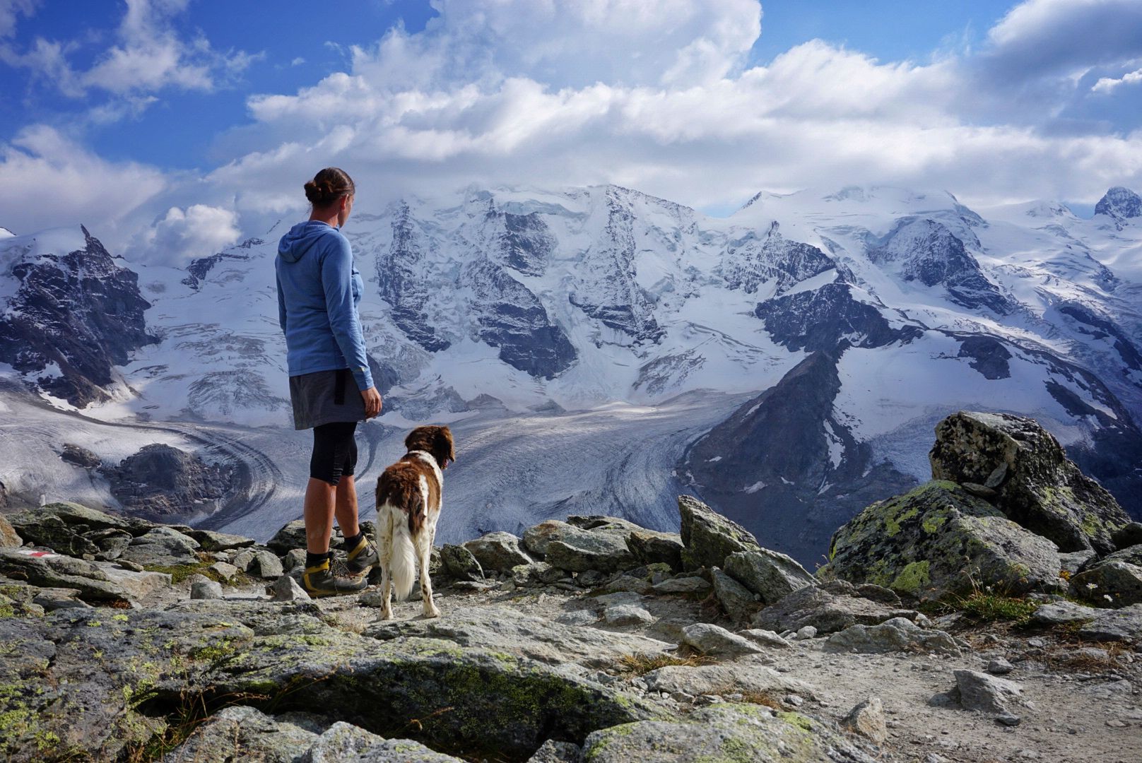
Bernina Tour – 8 days around the only 4,000er peak in the Eastern Alps
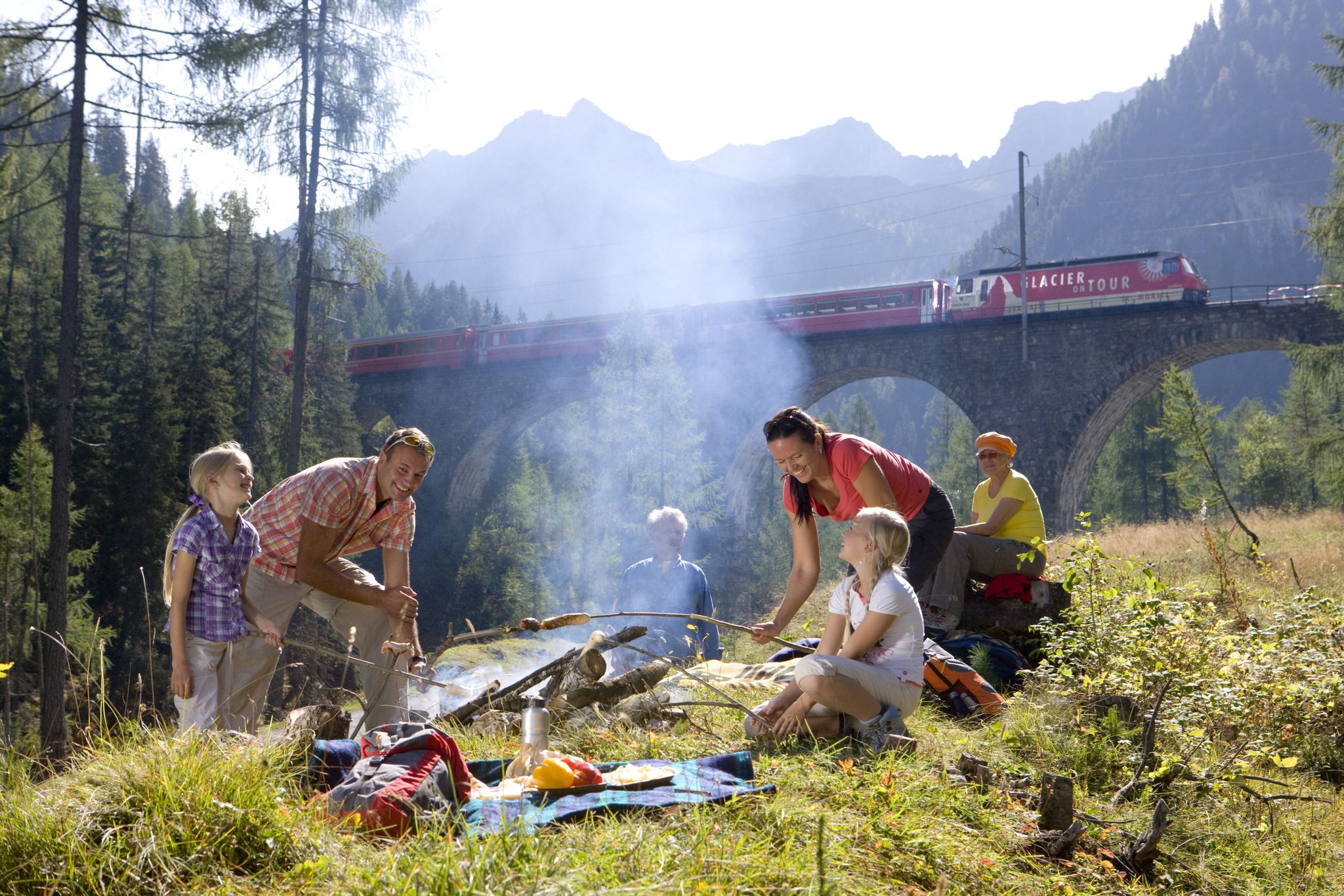
Auf Schnitzeljagd mit Clà Ferrovia

Traffic-free bike rides around Lake Bianco
Other adventures around Lake Bianco


Tips from the Community

a church with a mixture of Romanesque, late Gothic and Lombard Renaissance influences, is located in a very dominant position.
1
0

Beautiful, very playful chairs overlooking Lake Poschiavo
0
1

Along the lake off the road
0
0

Lago di Poschiavo / Puschlav Lake The Lago di Poschiavo, or Puschlav Lake in German, is located in the southern Graubünden municipality of Poschiavo/Puschlav. The natural reservoir is 962 meters above sea level. The lake is approximately 2.5 km long in a north/south direction and one kilometer wide. The Poschiavino river is both an inflow and outflow of the lake, which is up to 80 m deep at most. The Rhaetian Railway line runs along the western shore towards Brusio and Tirano in Italy. The village center of Poschiavo is about five kilometers north of the Puschlav Lake. On the lake itself are the villages of Miralago in the south and Le Prese in the north end. Both villages have Rhaetian Railway stops. The approximately seven-kilometer circular route around the Lago di Poschiavo can be completed in just under two hours. Since 2016, the "Sassalbo" has been a rentable boat on Lake Poschiavo. It is considered the largest passenger ship in the canton of Graubünden. Text / Source: schweizersee.ch https://www.schweizersee.ch/lago_di_poschiavo/
11
0
Lago di Poschiavo / Puschlav Lake The Lago di Poschiavo, or Puschlav Lake in German, is located in the southern Graubünden municipality of Poschiavo/Puschlav. The natural reservoir is 962 meters above sea level. The lake is approximately 2.5 km long in a north/south direction and one kilometer wide. The Poschiavino river is both an inflow and outflow of the lake, which is up to 80 m deep at most. The Rhaetian Railway line runs along the western shore towards Brusio and Tirano in Italy. The village center of Poschiavo is about five kilometers north of the Puschlav Lake. On the lake itself are the villages of Miralago in the south and Le Prese in the north end. Both villages have Rhaetian Railway stops. The approximately seven-kilometer circular route around the Lago di Poschiavo can be completed in just under two hours. Since 2016, the "Sassalbo" has been a rentable boat on Lake Poschiavo. It is considered the largest passenger ship in the canton of Graubünden. Text / Source: schweizersee.ch https://www.schweizersee.ch/lago_di_poschiavo/
15
0
Cascada da Bernina waterfall trail The Cascada da Bernina waterfall trail The waterfall trail is a short but extremely worthwhile adventure hike along the Cascada da Bernina. In just 600 meters, it overcomes a total of 85 meters in altitude. This makes the nature all the more magnificent along the Ova da Bernina mountain stream, which rushes down into the valley over several cascades. The entrance is at the Morteratsch RhB station in the direction of the car park. From three viewing platforms you can watch the torrent make its way through the pristine mountain forest. Sometimes it falls foaming over rocks, sometimes it builds up to form natural whirlpools. On the first viewing platform, a railway viaduct on the Bernina line is at the center. On the other two platforms you can learn exciting things about hydropower and wine transport. Text / Source: Engadin Tourismus AG, Via Maistra 1, 7500 St. Moritz https://www.engadin.ch/de/bernina-glaciers/geniesser/cascada-da-bernina/
12
0

Val Morteratsch offers an exciting mountain bike adventure through one of the most beautiful valleys in the Engadine, taking you to the Morteratsch Glacier. The trail winds through alpine meadows, dense forests and rugged rocky sections, with views of snow-capped peaks around every bend. You'll enjoy a mix of flat trails and more technical sections that make for a satisfying ride.
0
0

This is not an official trail for mountain bikers. So always be friendly to hikers and brake with foresight.
0
0
Frequently Asked Questions
What makes the gravel bike trails around Lake Bianco particularly traffic-free?
The trails around Lake Bianco are renowned for their tranquility, largely due to their high-alpine location on the Bernina Pass. Many routes utilize dedicated gravel paths, old service roads, or sections of the UNESCO World Heritage Rhaetian Railway line that are closed to general vehicle traffic, offering a serene biking experience amidst stunning natural beauty.
What kind of terrain can I expect on the traffic-free gravel bike trails near Lake Bianco?
You'll encounter a variety of terrain, from well-maintained gravel paths along the lake to more challenging unpaved sections and some singletracks. The area's high-alpine setting means you can expect significant elevation changes, offering both rewarding climbs and thrilling descents. Routes like the Lago Bianco Lakeside Trail – Val Roseg loop from Ospizio Bernina, while rated difficult, showcase the diverse landscapes.
Are there any family-friendly, traffic-free gravel bike routes around Lake Bianco?
While many routes in the high-alpine Bernina Pass region are rated moderate to difficult due to elevation and terrain, some sections offer gentler gradients suitable for families with older children or those comfortable with moderate distances. For a taste of the area, consider shorter loops like the Path to Morteratsch Glacier – Morteratsch Glacier loop from Morteratsch, Abzweigung, which provides a moderate challenge away from main roads.
What natural features and landmarks can I see along the traffic-free gravel bike trails?
You'll be surrounded by breathtaking high-alpine scenery. The most prominent feature is Lago Bianco itself, with its distinctive milky-white glacial waters. Nearby, you might spot the contrasting dark waters of Lago Nero. Many trails also pass by the Ospizio Bernina Railway Station, the highest point on the Rhaetian Railway, and offer views of the impressive dam walls that created the artificial reservoir. The Lago Bianco Lakeside Trail is a prime example of a route offering continuous scenic views.
Can I bring my dog on the traffic-free gravel bike trails near Lake Bianco?
Yes, many of the traffic-free gravel trails around Lake Bianco are suitable for dogs, especially if they are accustomed to longer distances and varied terrain. Always keep your dog on a leash, particularly in areas with wildlife or other trail users. Remember to carry enough water for both you and your pet, as water sources can be limited on higher sections.
Where can I park my car to access the traffic-free gravel bike trails?
Good starting points with parking facilities include the area around Ospizio Bernina and Morteratsch. The Ospizio Bernina Railway Station is a convenient hub, offering direct access to the lakeside trails. Morteratsch also serves as a popular starting point for routes heading towards the glacier, such as the Path to Morteratsch Glacier – Morteratsch Glacier loop from Morteratsch.
What is the best time of year for traffic-free gravel biking around Lake Bianco?
The best time for gravel biking around Lake Bianco is typically from late spring (June) through early autumn (September/October). During these months, the snow has usually melted from the higher passes, and the weather is generally more stable. Always check local weather forecasts and trail conditions, as high-alpine weather can change rapidly.
Are there any cafes or places to eat along the traffic-free gravel bike routes?
Yes, you'll find options for refreshments. The Ospizio Bernina Railway Station area often has facilities for food and drink. Depending on your route, you might also find mountain huts or restaurants in nearby valleys like Poschiavo or Engadin. For example, the Alp Show Dairy Morteratsch – Morteratsch Glacier Trail loop from Morteratsch, Abzweigung passes by the Morteratsch Alp, which can offer local produce.
How challenging are the traffic-free gravel bike trails around Lake Bianco?
The trails range from moderate to difficult. For instance, the Path to Morteratsch Glacier – Morteratsch Glacier loop from Morteratsch, Abzweigung is rated moderate, while the extensive Lago Bianco Lakeside Trail – Val Roseg loop from Ospizio Bernina is considered difficult. The difficulty often stems from significant elevation gains and descents, as well as the length of the routes. It's advisable to check the specific route details on komoot for elevation profiles and distance before you set out.
What do other gravel bikers enjoy most about the traffic-free trails in Lake Bianco?
The area is highly rated by the komoot community, with an average score of 4.1 stars from 17 ratings. Reviewers often praise the unparalleled high-alpine vistas, the unique milky-white color of Lake Bianco, and the peaceful, traffic-free environment that allows for an immersive experience in nature. The combination of challenging terrain and stunning scenery makes it a favorite among gravel biking enthusiasts.
Are there any circular traffic-free gravel bike routes around Lake Bianco?
Yes, several routes offer circular options, allowing you to start and end at the same point. The Lago Bianco Lakeside Trail – Val Roseg loop from Ospizio Bernina is a prime example of a challenging circular route that takes you around the lake and into the scenic Val Roseg. Other loops, such as those around the Morteratsch Glacier, also provide excellent circular, traffic-free experiences.
Most popular routes around Lake Bianco
Most popular attractions around Lake Bianco

Get inspired with the komoot mobile app


Explore more
Browse the best Gravel rides in other regions.
