The best hikes from bus stations around Obernberger Lake
4.6
(3614)
20,991
hikers
132
hikes
Hiking around Obernberger Lake offers trails through a landscape characterized by a crystal-clear lake, surrounded by majestic peaks and dense spruce and larch forests. The region, nestled at an elevation of approximately 1,590 meters in Tyrol, Austria, features a valley known for its pristine and wild-romantic character. A prehistoric rockfall divides the lake, contributing to its unique geography, with trails often following comfortable forest paths or meadow routes.
Best bus station hiking trails around Obernberger Lake
- The most popular bus…
Last updated: June 29, 2026
4.7
(34)
165
hikers
15.7km
06:08
930m
930m
Hard hike. Very good fitness required. Mostly accessible paths. Sure-footedness required.
4.8
(24)
101
hikers
15.4km
06:12
880m
880m
Hard hike. Very good fitness required. Mostly accessible paths. Sure-footedness required.

Sign up for free
4.9
(15)
83
hikers
Easy hike. Great for any fitness level. Easily-accessible paths. Suitable for all skill levels.
4.3
(4)
30
hikers
6.33km
02:02
280m
280m
Moderate hike. Good fitness required. Easily-accessible paths. Suitable for all skill levels.
4.3
(3)
29
hikers
Easy hike. Great for any fitness level. Easily-accessible paths. Suitable for all skill levels.
Get access to more routes and recommendations from other explorers.
Sign up for free
Already have an account?
Our route recommendations are based on thousands of hikes, rides, and runs completed by other people on komoot.
Start today with a free account
Your next adventure awaits.
Login or Signup
Popular around Obernberger Lake
Other adventures around Obernberger Lake

Tips from the Community

Crossing the border into Italy. The climb is worth it.
0
0

Fantastically beautiful landscape and great circular route around the lake
1
0


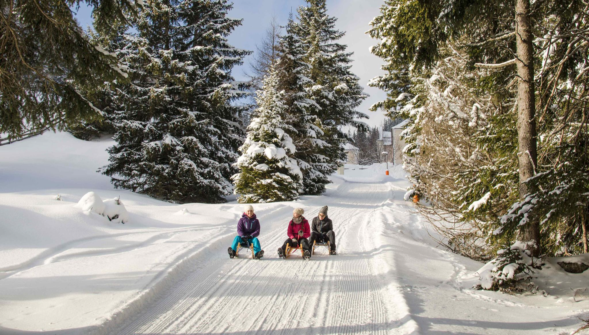
In winter the lake is almost non-existent.
0
0

The inn on the lake has been closed since 2006. So please remember to bring your own food.
1
0

In favorable lighting conditions, from this point on the shore of Lake Obernberg, opposite the Maria am See chapel, you can admire the reflection of the peaks of the Kleiner and Obernberger Tribulaun in the crystal-clear waters of the lake.
0
0
Frequently Asked Questions
How many hiking trails are accessible from bus stations around Obernberger Lake?
There are over 120 hiking routes around Obernberger Lake that are easily accessible from local bus stations. These trails offer a wide range of difficulties, from easy strolls to challenging mountain ascents, ensuring there's something for every hiker.
Are there easy or family-friendly hiking options accessible by bus?
Yes, Obernberger Lake is well-suited for families and those seeking easier walks. There are 26 easy routes available. A popular choice is the scenic circular path around the lake itself, which is ideal for all ages. For a specific example, consider the Meadow Trail – Obernberg am Brenner loop, which is an easy 5 km route.
What are the best times of year to hike around Obernberger Lake using public transport?
The region offers beautiful hiking experiences throughout the year. Spring and summer are perfect for enjoying the lush greenery and clear lake waters. Autumn is particularly stunning as the larch trees surrounding the lake turn a vibrant golden. Even in winter, the area transforms into a wonderland, offering opportunities for comfortable winter hikes and snowshoeing, with reliable snow cover.
Are there any circular hiking routes that start and end at a bus stop?
Absolutely. Many of the trails around Obernberger Lake are designed as circular routes, making them convenient for public transport users. For a moderate challenge, the Obernberger See Car Park – Kastenalm loop is a great option, offering a 11.4 km journey with significant elevation gain and descent.
What kind of natural features and attractions can I expect to see on these bus-accessible trails?
Hikers can expect stunning natural beauty, including the crystal-clear, green-blue waters of Obernberger Lake, which is uniquely divided into two parts by a prehistoric rockfall. The lake is surrounded by picturesque spruce and larch forests and majestic peaks. A notable attraction is the charming "Maria am See" chapel, situated on a peninsula, which you can reach via a footbridge. While swimming is prohibited to preserve water quality, the views are breathtaking.
Are there any challenging hikes from bus stations for experienced hikers?
Yes, for experienced hikers, there are 52 difficult routes available. You can embark on longer mountain tours to surrounding peaks. A challenging option is the Sandjöchl Pass – Lake Obernberg loop from Obernberg am Brenner, a demanding 15 km trail with over 800 meters of elevation gain, offering spectacular alpine views.
What do other hikers say about the trails around Obernberger Lake?
The hiking trails around Obernberger Lake are highly regarded by the komoot community, with an average rating of 4.6 out of 5 stars from over 3,500 reviews. Hikers frequently praise the pristine natural beauty, the clear lake, and the well-maintained paths that offer continuous scenic views of the mountains and forests.
Can I find places to eat or drink near the bus-accessible hiking trails?
Yes, there are amenities available. The village of Obernberg am Brenner, which serves as a key bus stop, offers cafes and restaurants where you can refuel before or after your hike. Along some routes, you might also find traditional alpine huts (Almen) that offer refreshments during the hiking season.
Are the trails around Obernberger Lake suitable for dogs?
Many trails in the Obernberger Lake area are dog-friendly, allowing you to enjoy the beautiful scenery with your canine companion. However, it's always recommended to keep dogs on a leash, especially in nature protection areas and near livestock, and to carry water for them. Please check specific route details for any restrictions.
How long do typical hikes from bus stations around Obernberger Lake take?
Hike durations vary significantly based on the route's difficulty and length. Easy circular routes around the lake, like the popular one mentioned, can take around 2.5 hours. More challenging mountain tours, such as the Lake Obernberg – Sandjöchl Pass loop, can take upwards of 6 hours to complete.
Is there a specific trail that offers the best viewpoints of Obernberger Lake?
The circular path directly around Obernberger Lake offers continuous, stunning views from various angles. For elevated perspectives, trails leading up to surrounding peaks or higher viewpoints will provide panoramic vistas of the lake nestled within its mountain cauldron. The Seesteig Trail – Trail to Lake Obernberg loop offers diverse views as it winds around the lake and into the surrounding terrain.
Most popular routes around Obernberger Lake
Most popular attractions around Obernberger Lake

Get inspired with the komoot mobile app


Explore more
Browse the best Hikes in other regions.
