The best road cycling routes around Obernberger Lake
4.4
(127)
3,918
riders
16
rides
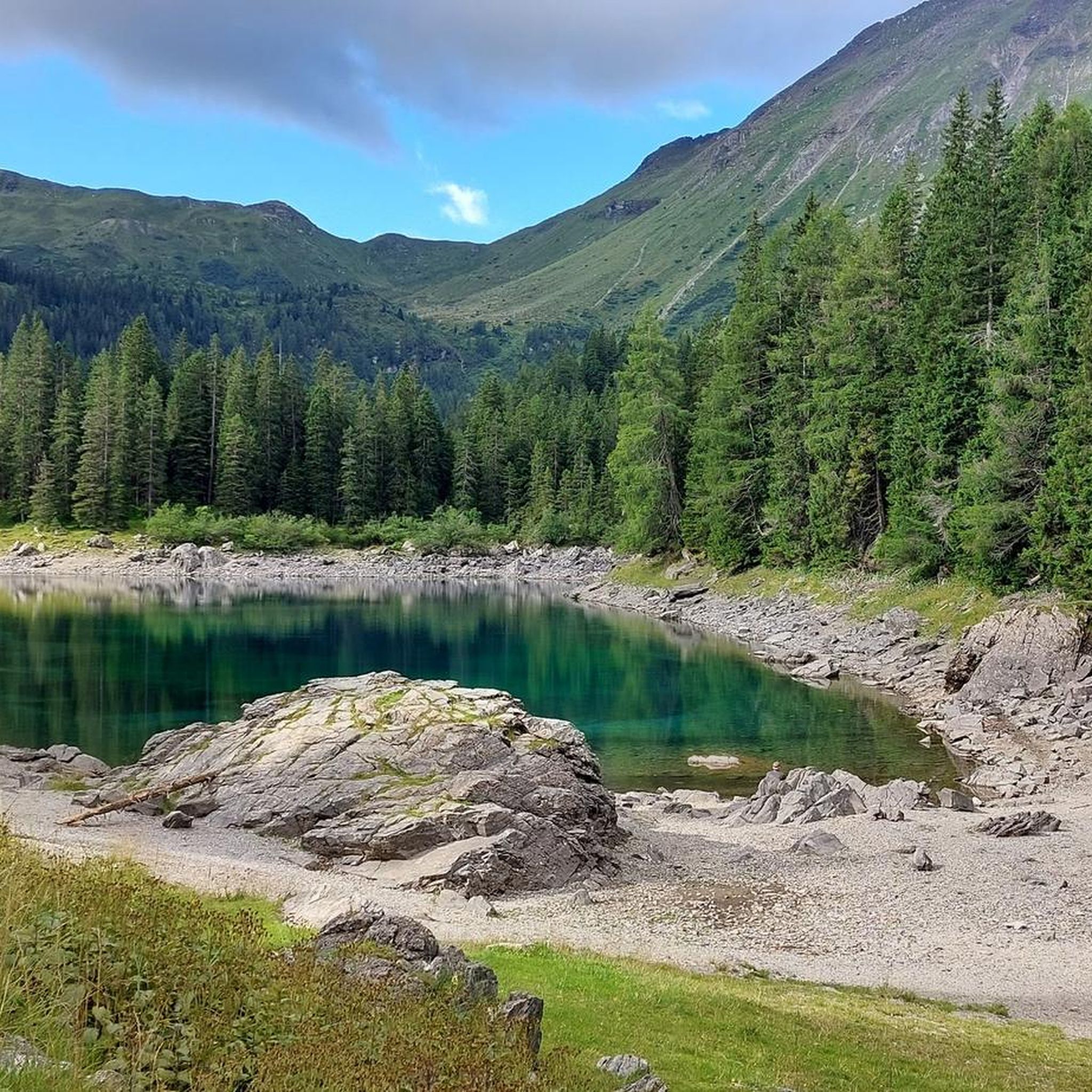
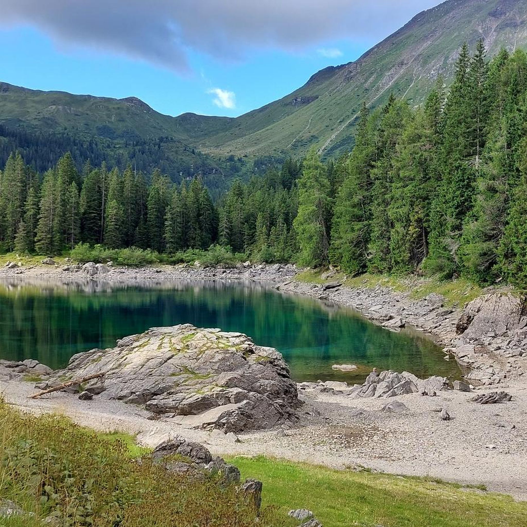
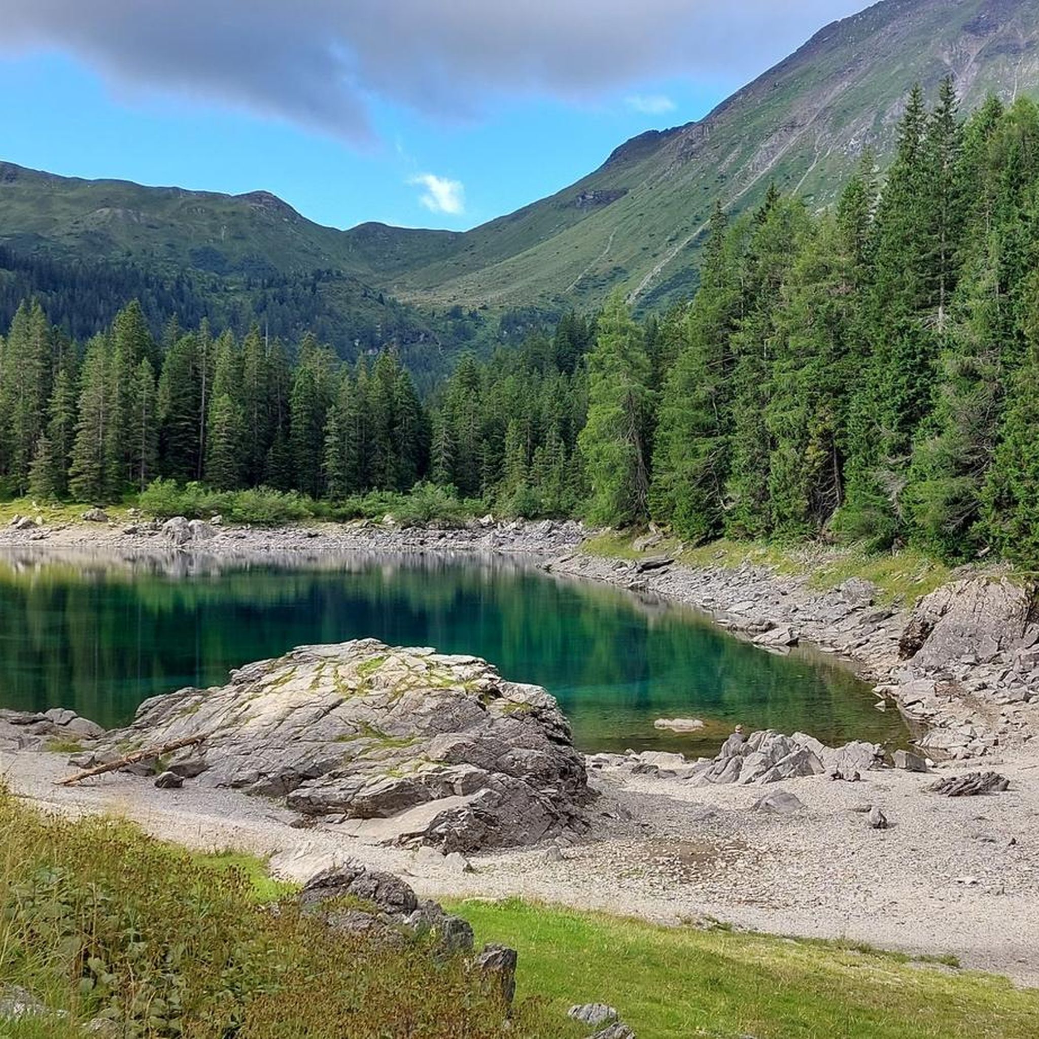
Road cycling around Obernberger Lake offers routes set within the alpine scenery of Tyrol, Austria. The region is characterized by the Stubai Alps, the Wipptal valley, and the lake itself, situated at an elevation of 1,590 meters. Cyclists encounter diverse terrain with significant elevation changes, including paths that connect to broader cycle routes and lead towards the historic Brenner Pass. The landscape features spruce and larch forests, creating a varied backdrop for road cycling.
Best road cycling routes around Obernberger…
Last updated: July 8, 2026
5
riders
12.9km
00:39
200m
200m
Easy road ride. Great for any fitness level. Mostly well-paved surfaces and easy to ride.
7
riders
35.4km
01:51
610m
610m
Moderate road ride. Good fitness required. Mostly well-paved surfaces and easy to ride.

Sign up for free
4.6
(5)
101
riders
Moderate road ride. Good fitness required. Some segments of this route may be unpaved and difficult to ride.
4.7
(44)
1,833
riders
100km
05:07
1,700m
1,700m
Hard road ride. Very good fitness required. Mostly well-paved surfaces and easy to ride.
5.0
(3)
58
riders
140km
07:43
2,810m
2,810m
Hard road ride. Very good fitness required. Mostly well-paved surfaces and easy to ride.
Get access to more routes and recommendations from other explorers.
Sign up for free
Already have an account?
Our route recommendations are based on thousands of hikes, rides, and runs completed by other people on komoot.
Start today with a free account
Your next adventure awaits.
Login or Signup

Other adventures around Obernberger Lake

Tips from the Community

Top cycle path through the Einsacktal
0
0
Top descent from the Brenner down to Sterzing
0
0

Available on Zwift - Lutscher route
0
0

What a panorama and feeling of achievement to have made it over the pass by bike.
1
1

Beautiful cycle path with several tunnels
0
0

another interesting section
0
0
Oops, I didn't even see the stone!
1
1

The pass is beautifully nestled between the rolling meadows of Lüsen to the north and the Pütia meadows with the steep walls of the eponymous mountain (Sas de Pütia / Peitlerkofel) to the south. From here, you have access to one of South Tyrol's most precious natural landscapes:
6
1
Frequently Asked Questions
How many road cycling routes are available around Obernberger Lake?
There are 16 road cycling routes around Obernberger Lake documented on komoot. These routes cater to various skill levels, with 3 easy, 9 moderate, and 4 difficult options.
What is the best time of year for road cycling around Obernberger Lake?
The late spring, summer, and early autumn months are ideal for road cycling around Obernberger Lake. During late spring and early summer, snowmelt causes the lake's two sections to merge, offering a unique view. Autumn brings a stunning display as the spruce and larch forests turn golden, enhancing the scenic beauty of the alpine landscape.
Are there any family-friendly road cycling options near Obernberger Lake?
While many routes in the region involve significant elevation changes, there are easier options available. For instance, the Roadbike loop from Obernberg am Brenner is an easy 12.6 km route that takes about 38 minutes to complete, offering views of the alpine landscape suitable for a less strenuous ride.
What kind of terrain can I expect on road cycling routes around Obernberger Lake?
The terrain around Obernberger Lake is diverse, characterized by alpine scenery, the Stubai Alps, and the Wipptal valley. Cyclists can expect significant elevation changes, with routes featuring both asphalt and gravel sections. Paths often lead towards the historic Brenner Pass, offering panoramic alpine views and glimpses of the Wipptal Valley, all set against a backdrop of spruce and larch forests.
Are there any challenging road cycling routes for experienced riders?
Yes, the region offers several challenging routes. For experienced riders, the View of Innsbruck – View of Wipptal and Inntal loop from Gossensaß - Colle Isarco is a difficult 100.3 km trail with substantial elevation gain, typically completed in about 5 hours. Another demanding option is the View of Stilves – View of Forte di Fortezza loop from Gossensaß - Colle Isarco, covering 75.2 km with over 1000 meters of ascent.
What natural features or landmarks can I see while cycling near Obernberger Lake?
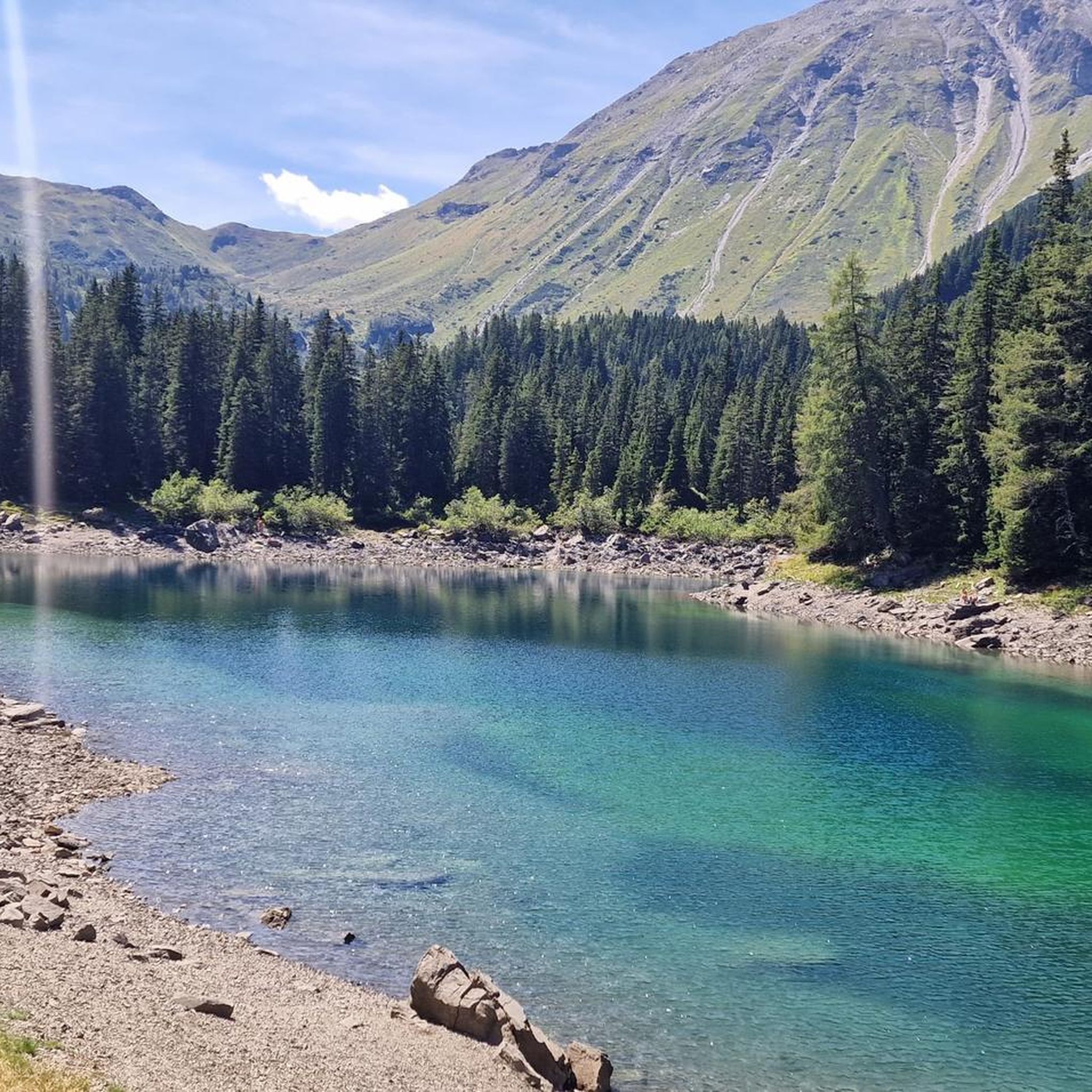
The region is rich in natural beauty. You'll encounter the crystal-clear, emerald-green waters of Obernberger Lake itself, nestled at 1,590 meters. The majestic Obernberger Tribulaun and Allerleigrubenspitze mountains provide a dramatic backdrop. A notable landmark is the picturesque 'Maria am See' chapel, built on a land bridge by the lake, which adds a cultural element to the natural landscape.
Are there any loop routes for road cycling around Obernberger Lake?
Yes, many routes in the area are designed as loops, allowing you to start and end at the same point. Examples include the Obernberg am Brenner – Gries am Brenner loop from Obernberg am Brenner, a moderate 35.4 km path, and the Panoramic View of Colle Isarco loop from Gossensaß - Colle Isarco, a moderate 57.7 km route.
What do other road cyclists say about the routes around Obernberger Lake?
The road cycling routes around Obernberger Lake are highly rated by the komoot community, with an average score of 4.6 stars from over 80 reviews. Cyclists often praise the stunning alpine scenery, the diverse terrain, and the well-maintained paths that offer both challenging climbs and scenic, less strenuous options.
Are there places to eat or rest along the road cycling routes?
Yes, particularly around Obernberger Lake itself. There is an inn with a sun terrace directly by the lake, offering refreshments and wonderful views. Along other routes, especially those connecting to larger valleys like the Wipptal, you may find various cafes and accommodations in the villages you pass through.
Is it possible to reach the road cycling routes by public transport?
The Obernbergtal valley, where Obernberger Lake is located, is a side valley of the Wipptal. Public transport options, such as buses, typically serve the main Wipptal valley. From there, local connections or a short ride might be necessary to reach specific starting points for road cycling routes around the lake. It's advisable to check local bus schedules for the most up-to-date information.
What is the elevation gain like on road cycling routes in this region?
Road cycling around Obernberger Lake and the surrounding Wipptal valley involves significant elevation changes. Routes can range from easier loops with a few hundred meters of ascent, like the Roadbike loop from Obernberg am Brenner with nearly 200 meters of gain, to difficult routes with over 1600 meters of climbing, such as the View of Innsbruck – View of Wipptal and Inntal loop from Gossensaß - Colle Isarco.
Most popular routes around Obernberger Lake
Most popular attractions around Obernberger Lake

Get inspired with the komoot mobile app


Explore more
Browse the best Road cycling routes in other regions.
