The best road cycling routes around Lütjenwestedt
4.4
(82)
720
riders
65
rides
Road cycling around Lütjenweststedt offers a serene environment amidst the rural, agricultural landscapes of Schleswig-Holstein, Germany. The region is characterized by expansive fields, meadows, and a flat to gently rolling topography, making it ideal for road cycling without significant climbs. Proximity to the Nord-Ostsee-Kanal (Kiel Canal) provides unique routes alongside one of the world's busiest artificial waterways, featuring impressive locks and bridges. Cyclists can also explore areas near the Haaler Au Nature Reserve and charming meadow and forest landscapes.
Best…
Last updated: October 8, 2026
4.7
(7)
57
riders
88.7km
03:41
360m
360m
Moderate road ride. Good fitness required. Some segments of this route may be unpaved and difficult to ride.
5.0
(1)
13
riders
81.1km
03:21
400m
400m
Moderate road ride. Good fitness required. Mostly well-paved surfaces and easy to ride.

4.0
(2)
9
riders
Easy road ride. Great for any fitness level. Mostly well-paved surfaces and easy to ride.
5.0
(1)
7
riders
68.1km
02:50
310m
310m
Moderate road ride. Good fitness required. Mostly well-paved surfaces and easy to ride.
8
riders
52.7km
02:10
300m
290m
Moderate road ride. Good fitness required. Mostly well-paved surfaces and easy to ride.
Get access to more routes and recommendations from other explorers.
Already have an account?
Our route recommendations are based on thousands of hikes, rides, and runs completed by other people on komoot.
Start today with a free account
Your next adventure awaits.
Tips from the Community


Watch out for the bridge toll
0
0
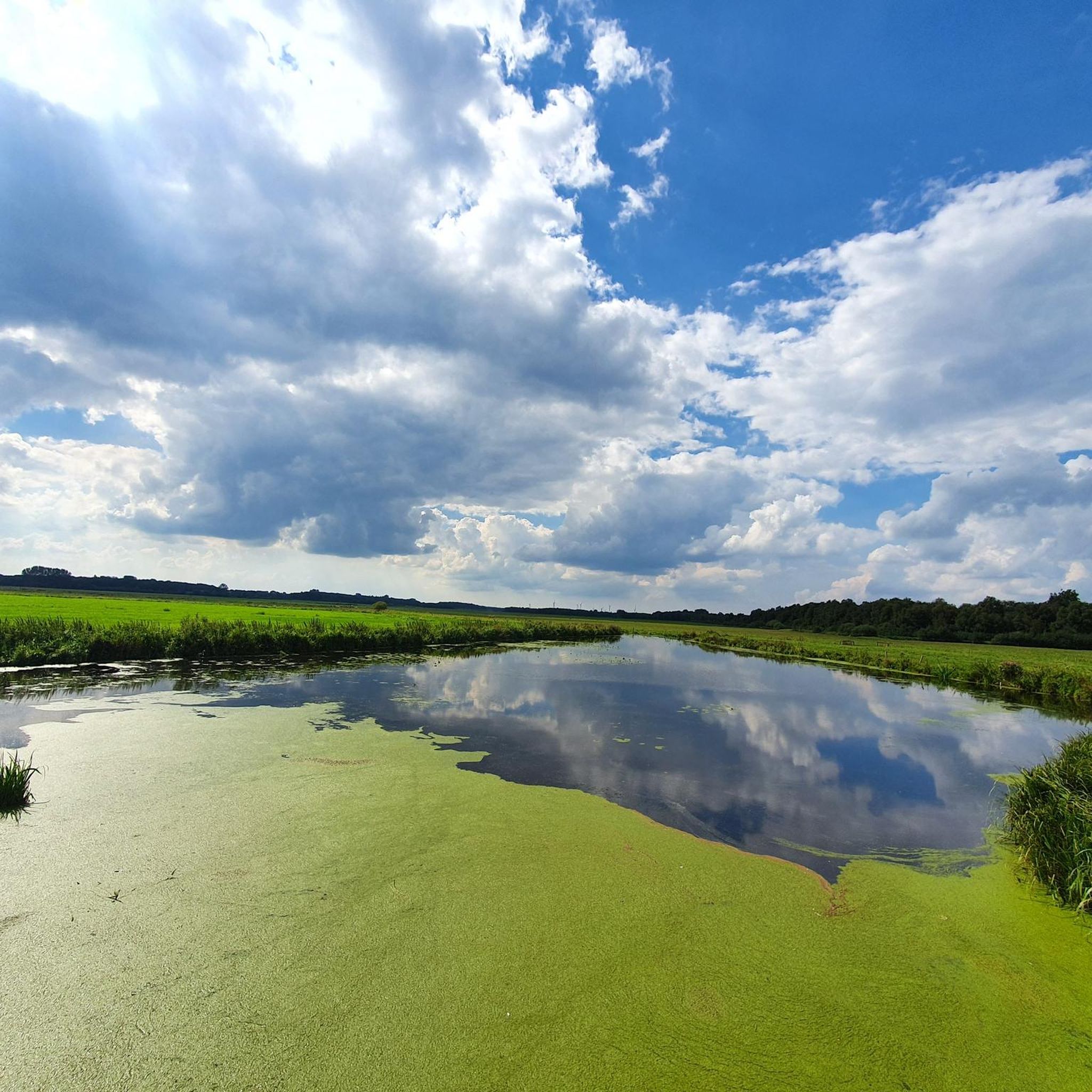
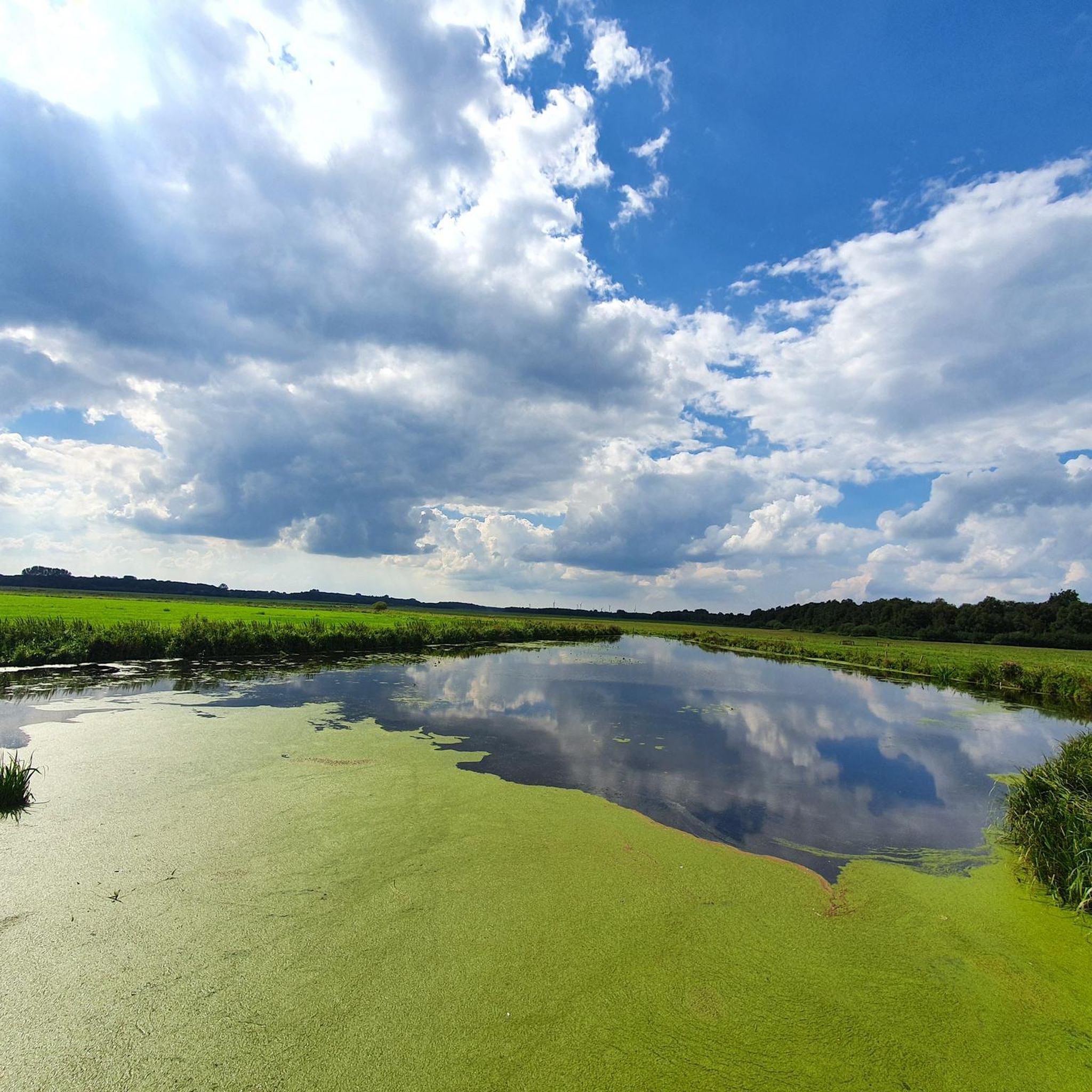
Here the water of the Bekau is channeled into the Siör.
0
0

Helpful support for repairs 💯🔝👍🏻😊🚴♀️
3
0


Wacken, always worth it, not only for the OpenAir
0
0

A promising starting point for adventures
0
0

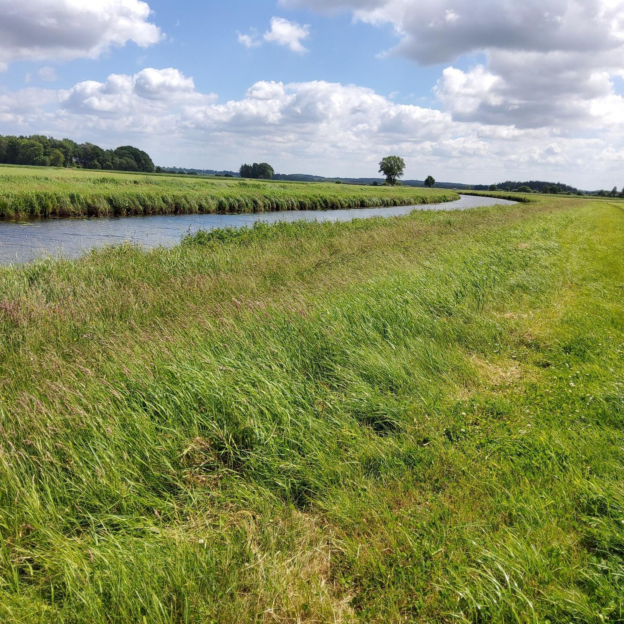
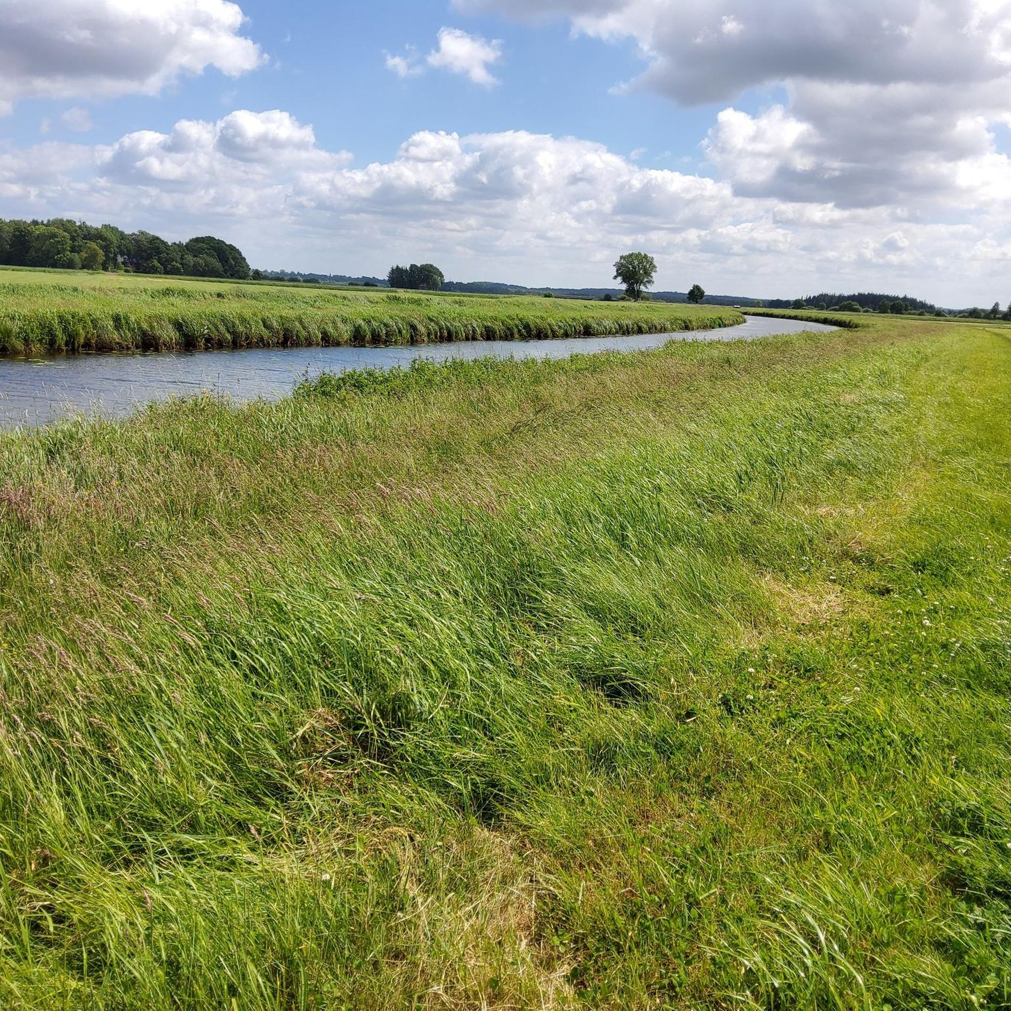
From the forest down through the meadows to Aukrug - pure fun!
0
0
Frequently Asked Questions
How many road cycling routes are available around Lütjenweststedt?
There are over 70 road cycling routes around Lütjenweststedt, offering a variety of options for different skill levels and preferences. These routes are highly rated by the komoot community.
What are the typical difficulty levels for road cycling routes in this region?
The road cycling routes around Lütjenweststedt are primarily easy to moderate. You'll find 23 easy routes, perfect for a relaxed ride, and 48 moderate routes for those seeking a bit more challenge. There are no difficult routes listed, making the area accessible for most cyclists.
What kind of landscapes will I experience while road cycling near Lütjenweststedt?
You will primarily experience the serene, rural, and agricultural landscapes characteristic of Schleswig-Holstein. Expect expansive views of fields and meadows, flat to gently rolling terrain, and charming meadow and forest landscapes. Many routes also feature the unique experience of cycling alongside the Nord-Ostsee-Kanal (Kiel Canal) or along rivers like the Stör and Eider.
Are there any notable landmarks or attractions along the road cycling routes?
Yes, several routes offer views of interesting landmarks and natural features. You can cycle past impressive structures like the Breiholz Ferry on the Kiel Canal, the Gieselau Canal Lock and Bascule Bridge, or the Rüsterbergen Pilot Station. Natural attractions include the Polders of the Haaler Au and Reher Lake.
What do other road cyclists enjoy most about the routes in Lütjenweststedt?
The area is highly rated by the komoot community, with an average score of 4.4 stars from over 60 reviews. Cyclists often praise the tranquil agricultural surroundings, the unique experience of riding alongside the Kiel Canal, and the well-maintained paths that make for enjoyable rides.
Are there any circular road cycling routes available?
Yes, many of the road cycling routes around Lütjenweststedt are designed as loops, allowing you to start and end at the same point. For example, the popular Lowest Point in Germany – Grünental High Bridge loop from Gokels is a great option for a circular tour.
What is the best time of year for road cycling in Lütjenweststedt?
The flat topography of Schleswig-Holstein makes it suitable for road cycling for much of the year. Spring, summer, and early autumn generally offer the most pleasant weather conditions for exploring the region's serene environment and agricultural landscapes.
Are there any family-friendly road cycling routes?
Given the predominantly flat to gently rolling terrain and the presence of 23 easy routes, Lütjenweststedt offers several family-friendly road cycling options. These routes are ideal for leisurely rides with less strenuous climbs, allowing families to enjoy the scenic countryside together.
Where can I find parking for road cycling routes in Lütjenweststedt?
While specific parking areas for each route are not detailed, Lütjenweststedt is a rural municipality. Cyclists typically find parking in or near the starting villages of routes, such as Gokels or Beringstedt, or at designated public parking spots within the community. Always check local signage for parking regulations.
Can I use public transport with my bike to access routes?
Schleswig-Holstein has a cycling-friendly infrastructure. While specific public transport options for Lütjenweststedt with bike carriage might vary, regional trains and buses often allow bikes, especially outside of peak hours. It's advisable to check the local public transport provider's website for their current bike policies and schedules.
Are there any long-distance cycling routes accessible from Lütjenweststedt?
Lütjenweststedt is strategically located to access parts of the broader Schleswig-Holstein cycling network, including sections of the Nord-Ostsee-Kanal (Kiel Canal) cycling route. This 325-kilometer route is ideal for long-distance cyclists. You can find more information on long-distance routes in the region on the Schleswig-Holstein Tourism website.
Which route offers views of the Kiel Canal?
The Lowest Point in Germany – Grünental High Bridge loop from Gokels is an excellent choice for experiencing the Kiel Canal. This moderate route provides views of the canal and its impressive infrastructure, including the Grünental High Bridge.
Is there a route that explores the Stör River area?
Yes, the Stör River Near Arpsdorf – Stör River Near Willenscharen loop from Beringstedt is a popular moderate route that winds through the rural landscapes along the Stör River, showcasing the region's natural beauty.
Most popular routes around Lütjenwestedt
Most popular attractions around Lütjenwestedt

Get inspired with the komoot mobile app


Explore more
Browse the best Road cycling routes in other regions.
