The best walks and hikes around Lütjenwestedt
4.6
(691)
2,325
hikers
252
hikes
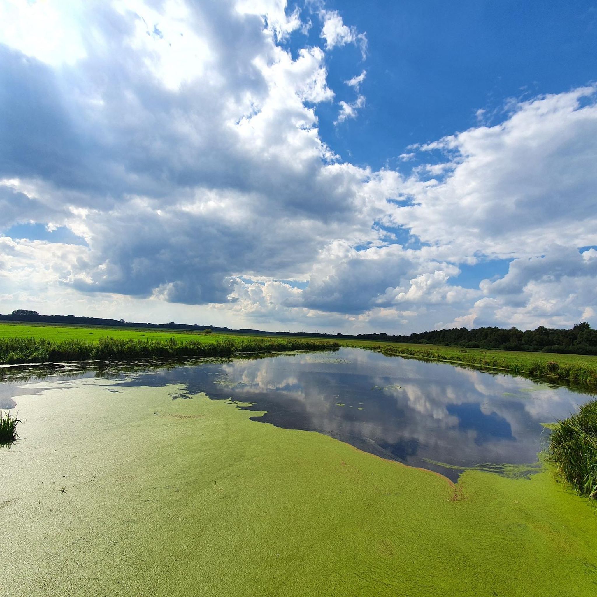
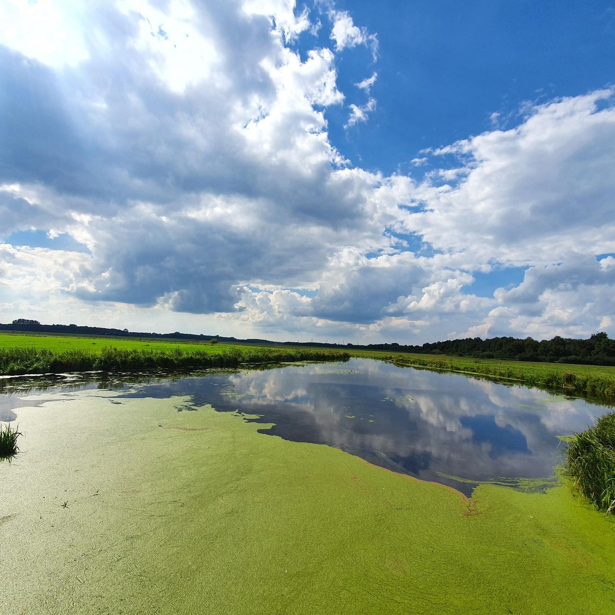
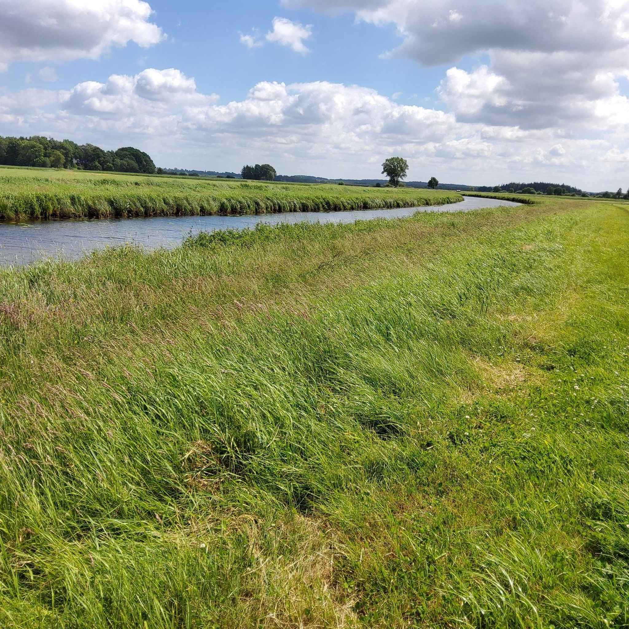
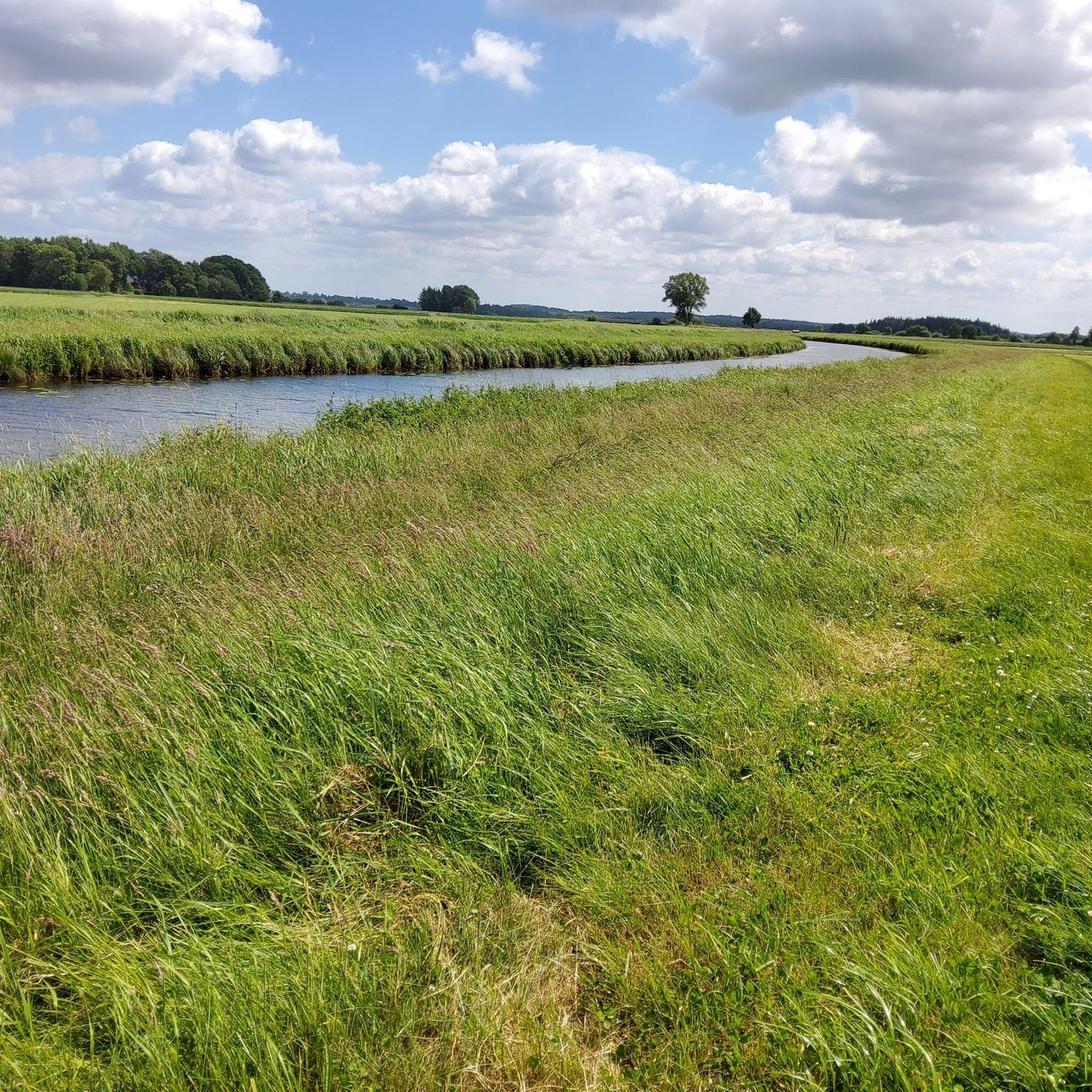
Hiking around Lütjenwestedt offers diverse landscapes, from the flat, lush meadows along the River Eider to the unique Ice Age Erratic Boulder Landscape. The region is characterized by "Knicklandschaft" (hedgerows) and proximity to lakes like Großer Wittensee, providing varied natural features. Trails are generally low in elevation gain, making them accessible for different skill levels.
Best hiking trails around Lütjenwestedt
- The most popular hiking route is Polders of the Haaler Au – Mouth of the Haaler Au loop from Steinberg…
Last updated: October 15, 2026
4.3
(7)
15
hikers
Moderate hike. Good fitness required. Easily-accessible paths. Suitable for all skill levels.
4.8
(8)
20
hikers
7.11km
01:48
10m
10m
Easy hike. Great for any fitness level. Easily-accessible paths. Suitable for all skill levels.

4.5
(4)
12
hikers
19.7km
04:56
20m
20m
Moderate hike. Good fitness required. Easily-accessible paths. Suitable for all skill levels.
5.0
(3)
5
hikers
Moderate hike. Good fitness required. Easily-accessible paths. Suitable for all skill levels.
5.0
(2)
9
hikers
2.29km
00:36
10m
10m
Easy hike. Great for any fitness level. Easily-accessible paths. Suitable for all skill levels.
Get access to more routes and recommendations from other explorers.
Already have an account?
Our route recommendations are based on thousands of hikes, rides, and runs completed by other people on komoot.
Start today with a free account
Your next adventure awaits.
Tips from the Community

My group passed by here on our "Seelust: Bike Tour to the Kiel Canal" tour. The tour and the entire cycling trip, of which it's a part, are fantastic. We made it through safely.
0
0

Here, you have to bypass a pasture. The grass is extremely high, and the path itself is barely visible. This requires a good feel for the road, leg strength, and a good dose of intuition.
0
0


Bring sunscreen. The bench is perfectly south-facing, so it's easy to get a good view of the sun. The view over the canal is beautiful.
3
0
There is a tiny parking lot on the L 127 right next to the bridge over the Haaler Au. Tip: There are hiking trails on both sides of the Au, although only the western one is mapped.
5
0
This beautiful supply route is almost 2 km long and runs alongside the Kiel Canal. In the village of Claustal there is a bench with a view of the canal.
4
0
The granite and yellow brick crossing of the mouth of the Haaler Au into the Kiel Canal dates from 1998. Stairs lead down to the water on all sides and the southern stairs not only offer a beautiful view of the lake-like upwelling of the Au, but also provide perfect exposure to the sun.
4
0
The barely visible bridge takes you to a beautiful view of the Haaler Au.
5
0
Frequently Asked Questions
How many hiking trails are available around Lütjenwestedt?
There are over 260 hiking routes in the Lütjenwestedt area, catering to various skill levels. This includes 169 easy, 90 moderate, and 7 difficult trails, ensuring options for everyone from casual walkers to experienced hikers.
What kind of landscapes can I expect to see while hiking in Lütjenwestedt?
The region offers diverse landscapes, from the flat, lush meadows along the River Eider to the unique Ice Age Erratic Boulder Landscape. You'll also encounter the distinctive "Knicklandschaft" (hedgerows) and scenic views of lakes like Großer Wittensee and the Kiel Canal.
Are there any family-friendly hiking options in Lütjenwestedt?
Yes, many trails are suitable for families, particularly those along the River Eider, which are relatively flat. An easy option is the Hiking loop from Tackesdorf, a 4.4-mile (7.1 km) path that leads through open fields and quiet rural scenery.
What are the best times of year to go hiking in Lütjenwestedt?
The best times for hiking in Lütjenwestedt are spring and autumn. During these seasons, the weather is pleasantly mild, and nature displays its most vibrant colors, with blooming flowers in spring and colorful foliage in autumn.
Are there any circular walks available around Lütjenwestedt?
Yes, many routes are designed as circular walks. For example, the Polders of the Haaler Au – Mouth of the Haaler Au loop from Steinberg is a popular 7.2-mile (11.5 km) trail exploring the polders and river mouth.
What do other hikers say about the trails in Lütjenweststedt?
The trails in Lütjenwestedt are highly rated by the komoot community, with an average score of 4.6 stars from over 600 reviews. Hikers often praise the varied terrain, the tranquility of the natural settings, and the well-maintained paths.
Are there any notable natural monuments or historical sites to see along the trails?
Yes, the area features several points of interest. You can explore the Polders of the Haaler Au, visit the Exposed roots of the ancient beech in the Gieselau Valley, or discover the Long Barrow (Langbett) in Albersdorf.
Can I find trails with views of the Kiel Canal?
Absolutely. The region offers routes with excellent views of the Kiel Canal. Consider the Scenic Tree in Grassy Field – View of the Kiel Canal loop from Oldenbüttel, a 12.2-mile (19.7 km) trail that provides expansive views of this significant waterway.
What kind of elevation gain can I expect on Lütjenweststedt trails?
Trails around Lütjenwestedt generally feature low elevation gain, making them accessible for various fitness levels. The landscape is characterized by riverine paths and hedgerows, rather than steep climbs, though the nearby Nature Park Hüttener Berge offers slightly more rolling hills.
Are there any specific attractions related to the Kiel Canal near Lütjenweststedt?
Yes, you can find several interesting spots along the Kiel Canal. These include the Breiholz Ferry on the Kiel Canal, the Rüsterbergen Pilot Station, and the Gieselau Canal Lock and Bascule Bridge.
Are there any easy trails for beginners or those looking for a shorter walk?
Yes, there are many easy trails. For a shorter, gentle walk, the Fish Ponds loop from Wilhelmshain is an excellent choice, covering 1.4 miles (2.3 km) with minimal elevation.
What is the typical terrain like on the hiking trails?
The terrain primarily consists of well-maintained paths through meadows, along riverbanks, and sometimes through light forest areas. The region's "Knicklandschaft" (hedgerows) also defines many routes, providing a mix of open views and sheltered sections.
Most popular routes around Lütjenwestedt
Most popular attractions around Lütjenwestedt

Get inspired with the komoot mobile app


Explore more
Browse the best Hikes in other regions.
