The best traffic-free bike rides around Réserve Naturelle des Ballons Comtois
4.4
(600)
18,692
riders
111
rides
No traffic touring cycling routes around Réserve Naturelle des Ballons Comtois traverse a landscape characterized by rounded mountain summits, extensive forests, and varied altitudes. The region, located in the southern Vosges mountains, features dense woodlands, high-altitude grasslands, and significant peat bogs. Cyclists will encounter narrow valleys, scree slopes, and numerous waterfalls and streams. This diverse terrain offers a range of experiences for touring cyclists seeking routes away from traffic.
Best no traffic touring cycling routes around Réserve Naturelle des Ballons…
Last updated: October 15, 2026
5.0
(4)
12
riders
15.9km
01:20
520m
510m
Hard bike ride. Very good fitness required. Mostly paved surfaces. Suitable for all skill levels.
4.9
(8)
265
riders
18.1km
01:35
650m
650m
Hard bike ride. Very good fitness required. Mostly paved surfaces. Suitable for all skill levels.

5.0
(3)
90
riders
47.2km
03:31
1,100m
1,100m
Hard bike ride. Very good fitness required. Mostly paved surfaces. Suitable for all skill levels.
5.0
(4)
44
riders
30.0km
03:01
1,120m
1,120m
Hard bike ride. Very good fitness required. You may need to push your bike for some segments of this route.
28
riders
26.6km
02:20
580m
580m
Hard bike ride. Very good fitness required. Mostly paved surfaces. Suitable for all skill levels.
Get access to more routes and recommendations from other explorers.
Already have an account?
Our route recommendations are based on thousands of hikes, rides, and runs completed by other people on komoot.
Start today with a free account
Your next adventure awaits.
Popular around Réserve Naturelle des Ballons Comtois
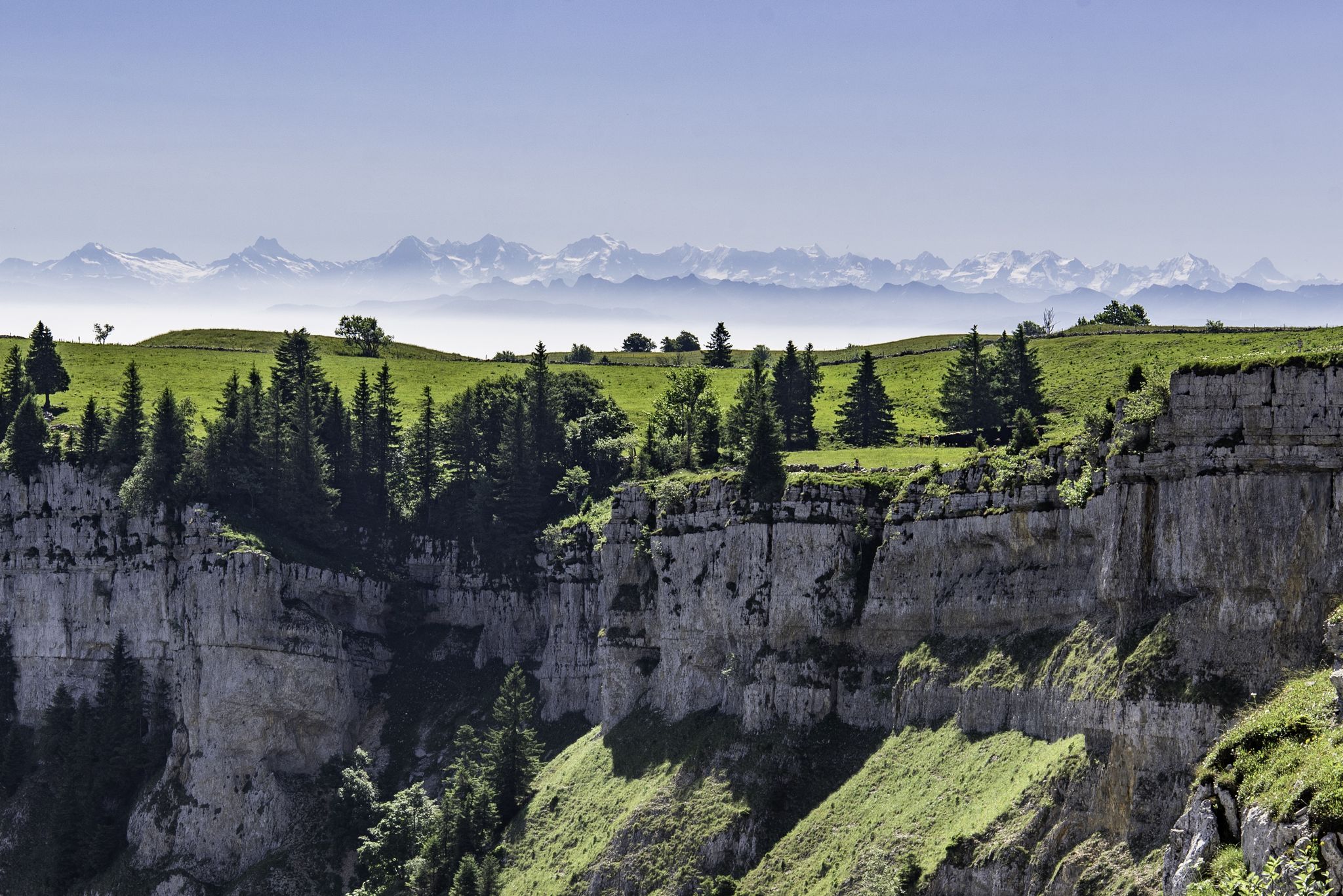
From the Vosges to the Jura mountains – Hexatrek, le Grand Est
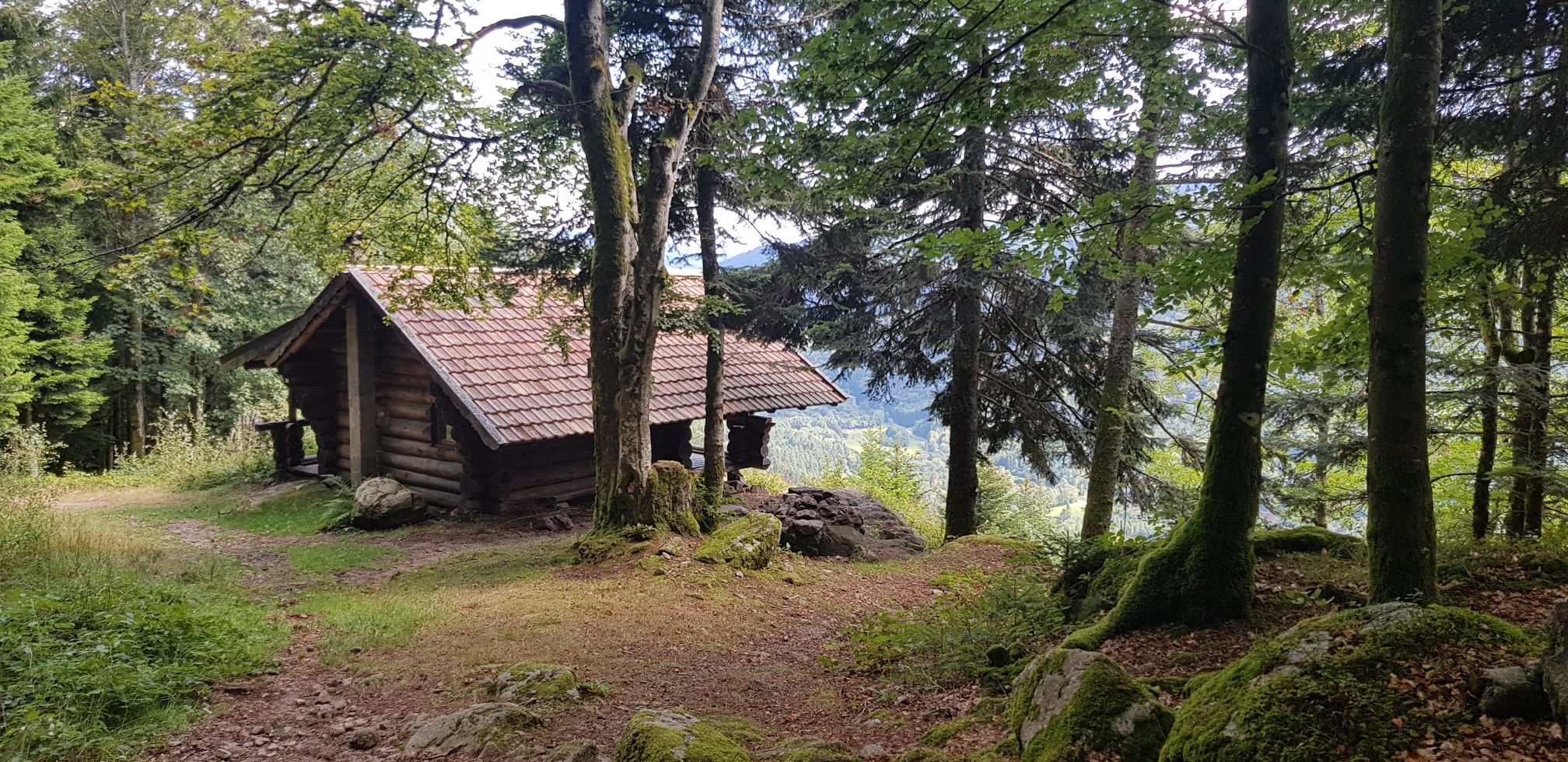
Hiking for Ballon lovers – Tour du Ballon d'Alsace in France
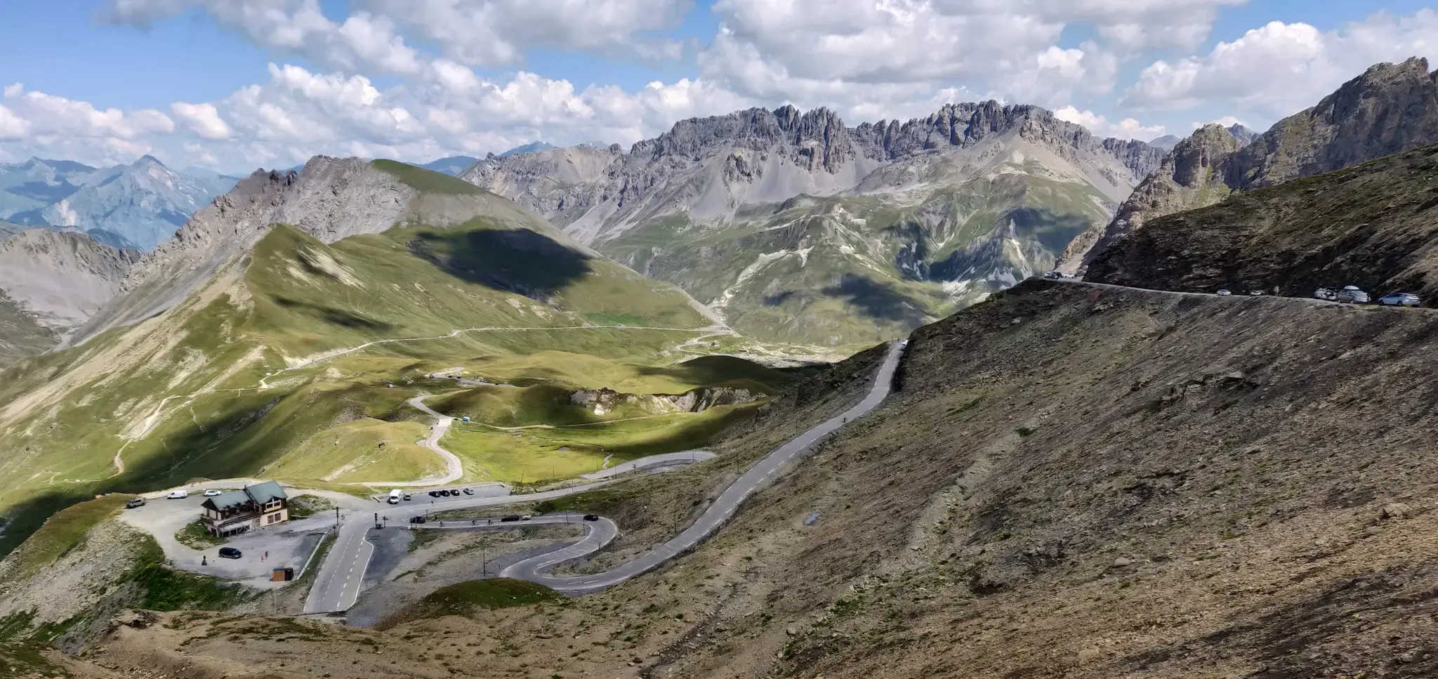
Legendary passes of the Tour de France
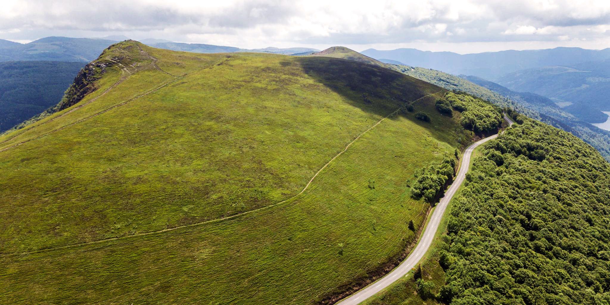
Beautiful passes In the Vosges Mountains
Traffic-free bike rides around Réserve Naturelle des Ballons Comtois

Traffic-free bike rides around Réserve Naturelle des Ballons Comtois
Other adventures around Réserve Naturelle des Ballons Comtois


Tips from the Community

The former train station of Le Thillot (la gare du Thillot) is a historic monument that played a central role in the region's transformation. Opened in 1879 on the railway line between Épinal and Bussang, the SNCF definitively closed the station in 1989. The building has been completely renovated and now houses the Maison des Hautes‑Mynes, the visitor center for the historic copper mines. The former railway bed has been transformed into the Voie Verte des Hautes‑Vosges, a car-free cycle path connecting Remiremont with Bussang. Directly next to the station also starts the Voie du Tacot, an educational route along the old narrow-gauge railway line.
7
0
The end of the climb is somewhat disappointing. There is nothing marked. No photo opportunity. You have a small parking lot, a closed military road, and a picnic spot well hidden under the trees. At the two yellow signs (mainly for hikers) there is the only indication that you are at the Ballon de Servance and at 1158 m. The climb is "cozy". No cars, completely shaded, a few kilometer markers.
7
0
La Planche des Belles Filles is a 5.8 kilometer climb. It is a category 1 climb. It is located in Plancher Les Mines, Franche-Comté, France. The average gradient of this climb is 8.6% with a maximum of 13.6%. La Planche des Belles Filles climbs from 527 meters at the start to 1,033 meters at the summit, for a total elevation gain of 506 meters.
7
0
This 5.9-kilometer climb from the village of Plancher-les-Mines in Haute-Saône is one of the most difficult in the Vosges. Indeed, cyclists who want to try it will need to be at least somewhat trained. With a gradient of 24% towards the end of the route, it's better to be well-attached. The gradient never seems to ease, with its hairpin bends and, upon reaching the resort, the last 2 kilometers rise like a wall. However, you'll be able to say that you've done it, so come and try the climb of La Planche too!
8
0

What could that mean in German?
0
0
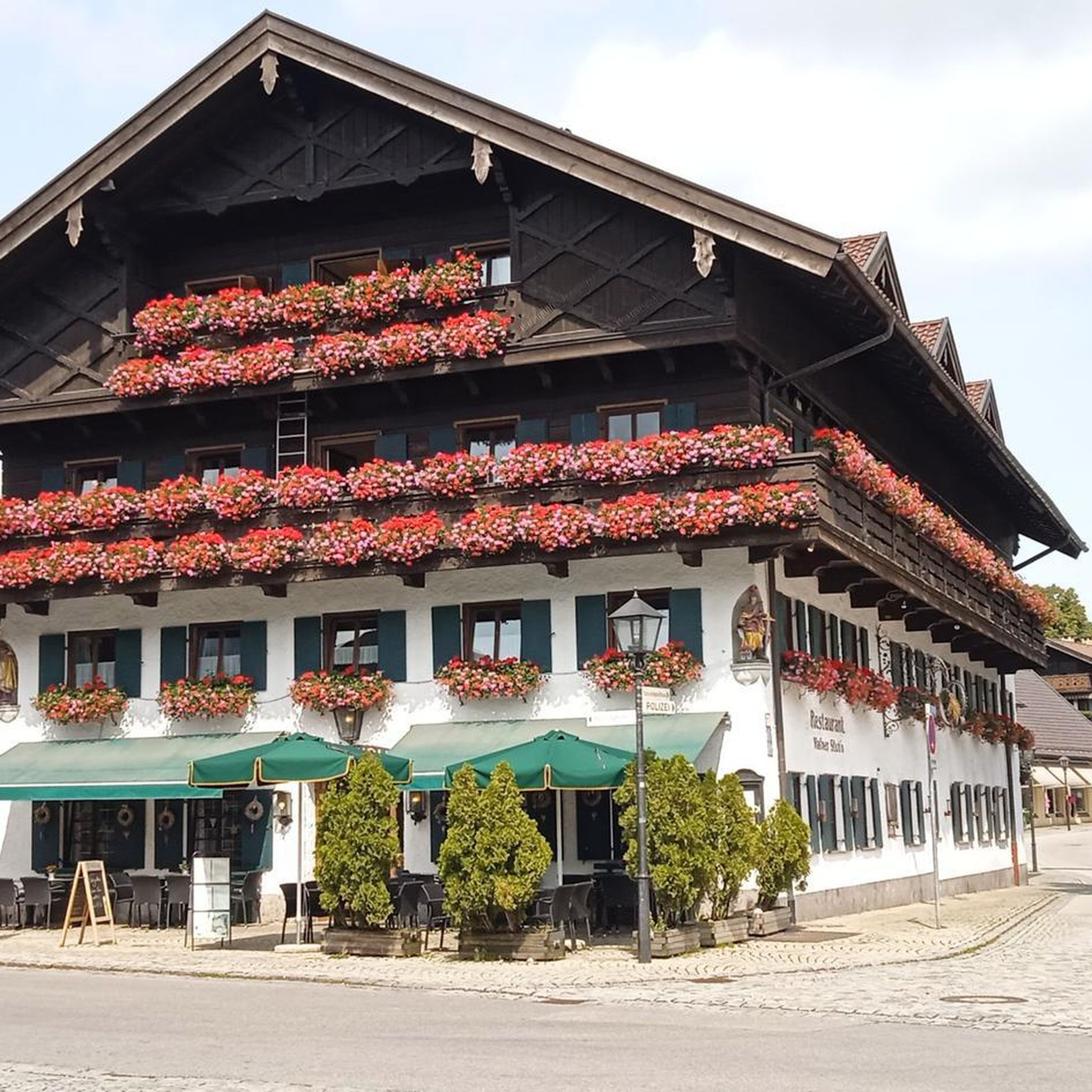
Beautiful building in Bussang
0
0
This fire will be lit on tomorrow's National Day
0
0
Frequently Asked Questions
How many no-traffic touring cycling routes are available in Réserve Naturelle des Ballons Comtois?
There are over 110 no-traffic touring cycling routes available in the Réserve Naturelle des Ballons Comtois, offering a wide range of options for different skill levels. You'll find everything from easy rides to challenging ascents.
What is the best time of year to go touring cycling in the Réserve Naturelle des Ballons Comtois?
The best time for touring cycling is generally from spring to autumn. During these seasons, the weather is more favorable, and the extensive forests of beech and fir provide a serene and immersive natural experience. Winter sports are possible on designated trails during colder months, but cycling conditions may be challenging.
What kind of terrain can I expect on these no-traffic routes?
The Réserve Naturelle des Ballons Comtois features diverse terrain, from peaceful roads winding through dense forests to more challenging mountainous sections. You can expect varied altitudes, including ascents to rounded mountain summits like the Ballon de Servance. Some routes may include gravel sections, offering a mix of surfaces.
Are there any scenic viewpoints or landmarks along these routes?
Yes, many routes offer stunning panoramic views. You can cycle towards prominent peaks like Ballon de Servance or La Planche des Belles Filles, which are notable landmarks. The area also features high-altitude grasslands known as "chaumes" and significant peat bogs, adding to the ecological diversity and scenic beauty.
Can I find waterfalls or other natural features on these routes?
The landscape of the Réserve Naturelle des Ballons Comtois is sculpted by narrow, steep valleys and numerous waterfalls and streams ("gouttes"), contributing to dramatic scenery. While specific routes may vary, the region is rich in water features, offering picturesque natural sights along your ride.
What do other touring cyclists enjoy most about the no-traffic routes in Réserve Naturelle des Ballons Comtois?
The area is highly rated by the komoot community, with an average score of 4.56 stars. Reviewers often praise the challenging yet picturesque routes, the stunning natural attractions, and the commitment to preserving the ecological richness, making for a compelling outdoor experience.
Are there family-friendly no-traffic touring cycling routes?
Yes, specific cycling routes are designed for families, often exploring areas like the Vallée du Florival while avoiding major traffic. These routes typically feature gentler gradients and safer environments, perfect for a relaxed family outing.
Can I bring my dog on these cycling routes?
While cycling with dogs is generally permitted on marked trails, it's always advisable to check specific regulations for the Réserve Naturelle des Ballons Comtois, especially regarding protected areas or wildlife habitats. Ensure your dog is well-behaved and kept on a leash where required.
Is public transport available to access the no-traffic cycling trails?
Public transport options to access the trailheads can be limited in this natural reserve. It's recommended to check local bus or train services in nearby towns like Remiremont or Gérardmer for connections, but direct access to all trailheads via public transport might not be feasible. Planning your journey by car to a suitable parking spot is often the most convenient option.
Where can I find parking for these routes?
Parking is generally available at the start points of many popular routes and in nearby villages. For example, you can find parking near La Planche des Belles Filles or in towns like Saint-Maurice-sur-Moselle, which serves as a starting point for routes like the Start of the Moselle cycle path – Col de Bussang (731 m) loop.
Are there any circular no-traffic touring cycling routes?
Yes, there are several circular routes available. For instance, you can explore the challenging La Planche des Belles Filles – Top loop from Planche des Belles Filles, or the Nice gravel section – La Planche des Belles Filles loop from Réserve naturelle des Ballons Comtois, which offers a longer, scenic experience.
Are permits required for cycling in the Réserve Naturelle des Ballons Comtois?
Generally, cycling is authorized on marked trails throughout the year in the Réserve Naturelle des Ballons Comtois. However, it's always good practice to consult the official website of the reserve for any specific regulations or temporary restrictions, especially concerning sensitive ecological areas like peat bogs. You can find more information on the reserve's official pages, such as ronchamptourisme.com.
Are there options for more challenging no-traffic routes?
Absolutely. The region is known for its challenging climbs, including the ascent to the Ballon de Servance and the infamous La Planche des Belles Filles, which features steep gradients up to 24%. Many of the 66 difficult routes offer significant elevation gain and technical sections for experienced cyclists, such as the BRIDGE BOW – Bahntrasse im Moseltal loop from Saint-Maurice-sur-Moselle.
Most popular routes around Réserve Naturelle des Ballons Comtois
Most popular attractions around Réserve Naturelle des Ballons Comtois

Get inspired with the komoot mobile app


Explore more
Browse the best Cycling routes in other regions.
