The best road cycling routes around Réserve Naturelle des Ballons Comtois
4.5
(664)
28,117
riders
156
rides
Road cycling routes around Réserve Naturelle des Ballons Comtois traverse a landscape characterized by rounded mountain summits known as "ballons," dense beech and fir forests, and deep valleys. The region features high-altitude areas ranging from 600 to over 1,200 meters, offering significant elevation changes for road cyclists. Natural features include peat bogs, glacial cirques, and mountain lakes, providing varied scenery. Roads are generally well-maintained, making them suitable for road cycling.
Best road cycling routes around Réserve Naturelle des Ballons Comtois
…Last updated: October 16, 2026
4.8
(13)
430
riders
59.7km
02:59
880m
880m
Moderate road ride. Good fitness required. Mostly well-paved surfaces and easy to ride.
4.5
(6)
110
riders
33.8km
02:16
1,110m
1,110m
Hard road ride. Very good fitness required. Mostly well-paved surfaces and easy to ride.

44
riders
18.7km
01:11
480m
480m
Moderate road ride. Good fitness required. Some segments of this route may be unpaved and difficult to ride.
3.7
(3)
1,339
riders
Easy road ride. Great for any fitness level. Mostly well-paved surfaces and easy to ride.
4.7
(26)
1,047
riders
97.9km
05:49
2,410m
2,400m
Hard road ride. Very good fitness required. Some segments of this route may be unpaved and difficult to ride.
Get access to more routes and recommendations from other explorers.
Already have an account?
Our route recommendations are based on thousands of hikes, rides, and runs completed by other people on komoot.
Start today with a free account
Your next adventure awaits.
Popular around Réserve Naturelle des Ballons Comtois
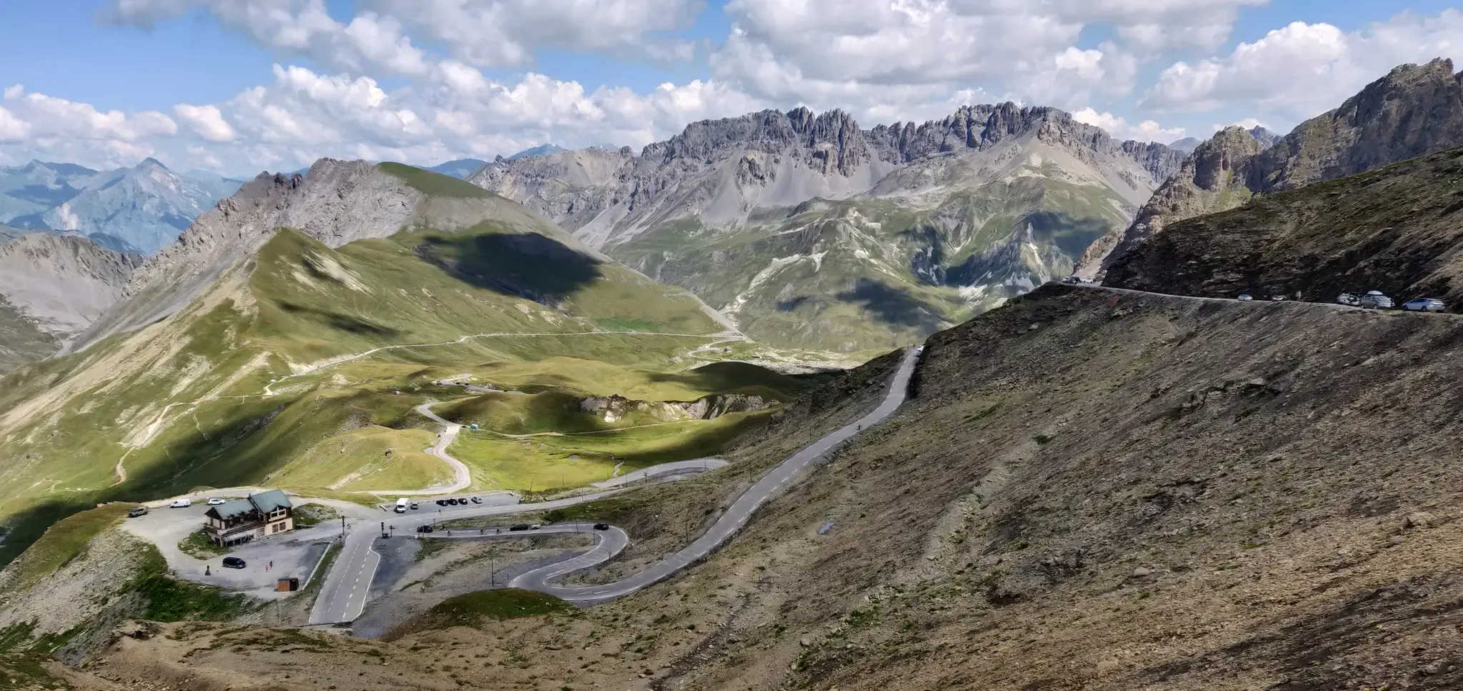
Legendary passes of the Tour de France
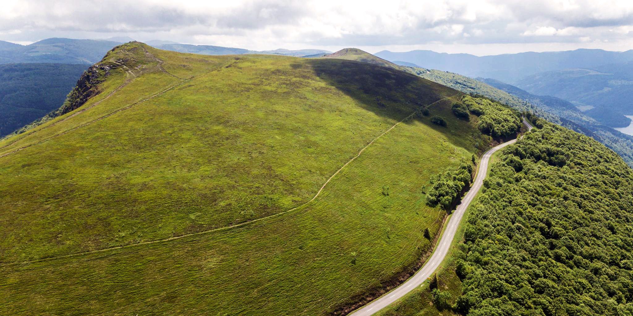
Beautiful passes In the Vosges Mountains
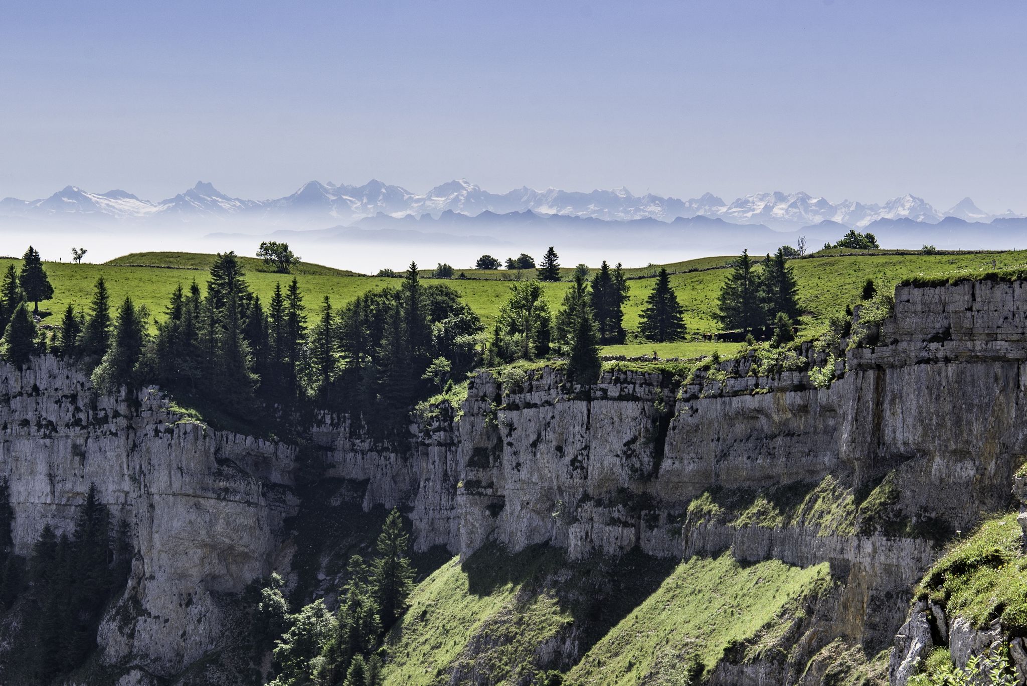
From the Vosges to the Jura mountains – Hexatrek, le Grand Est
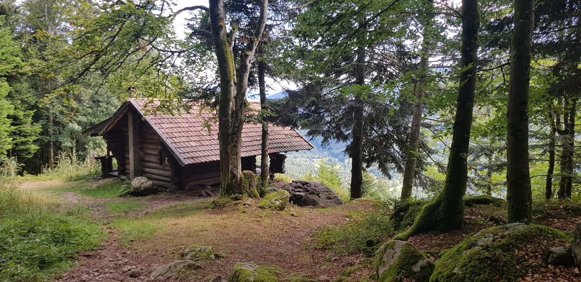
Hiking for Ballon lovers – Tour du Ballon d'Alsace in France
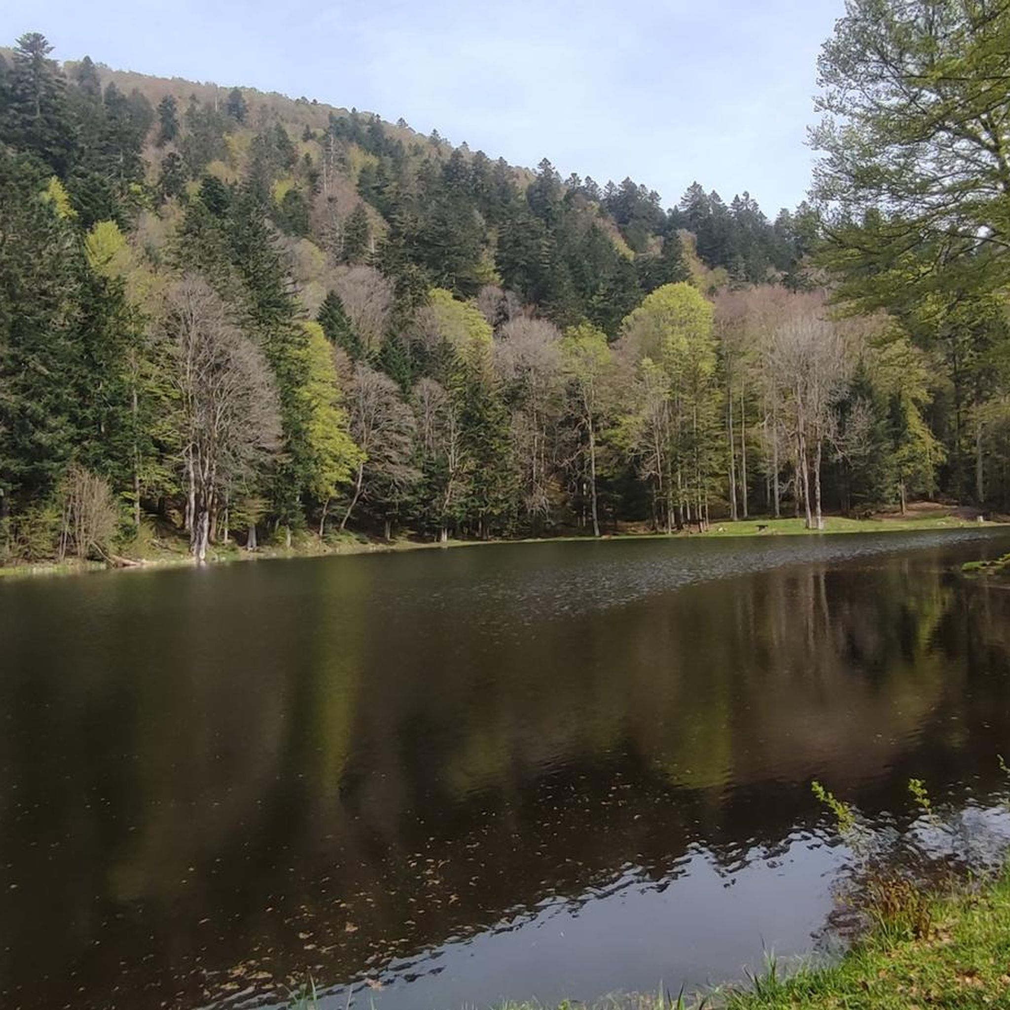
Cycling around Réserve Naturelle des Ballons Comtois
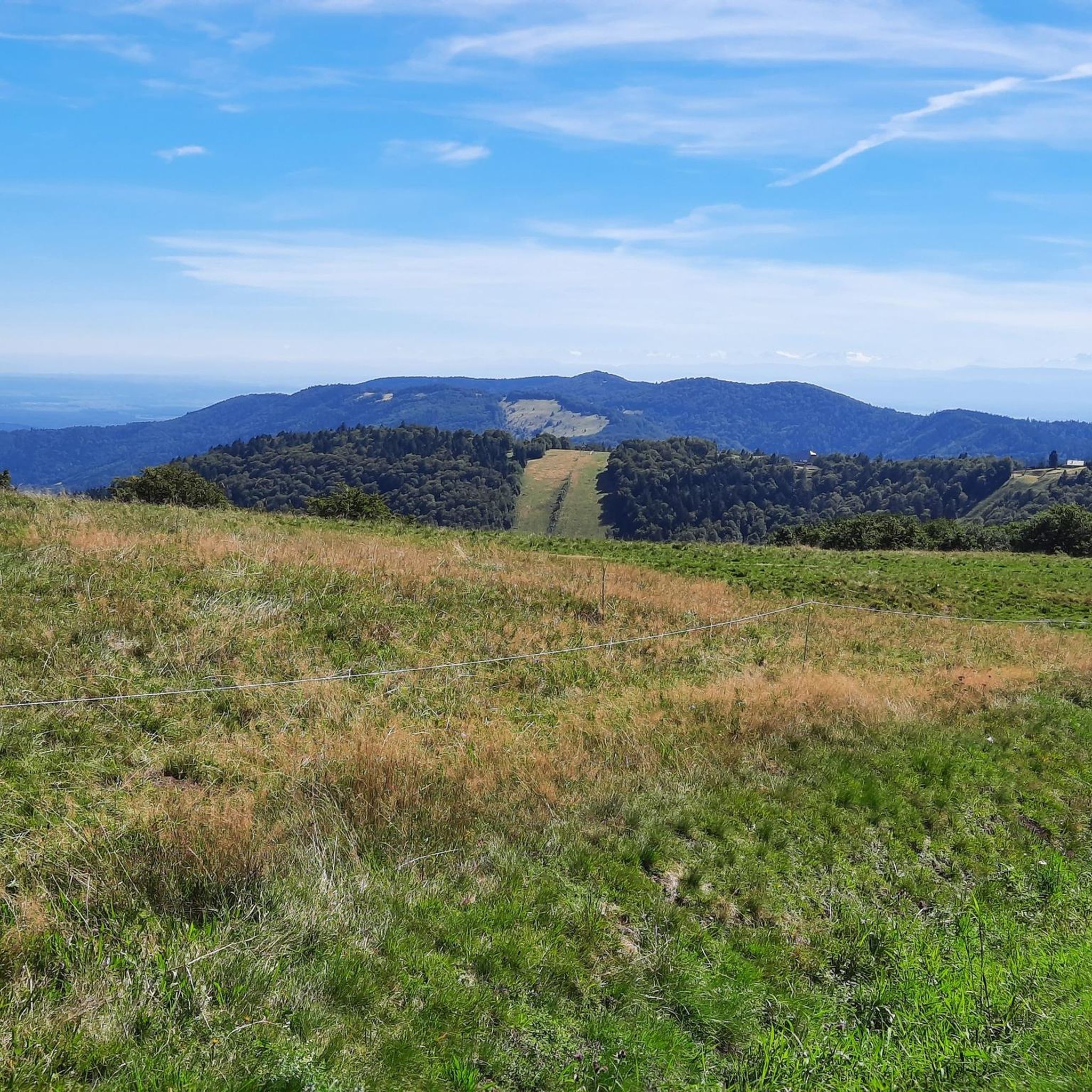
Running Trails around Réserve Naturelle des Ballons Comtois
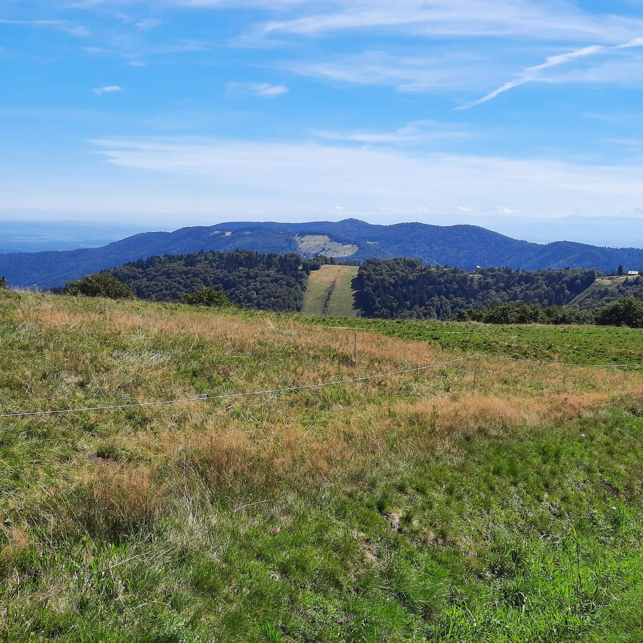
Hiking around Réserve Naturelle des Ballons Comtois
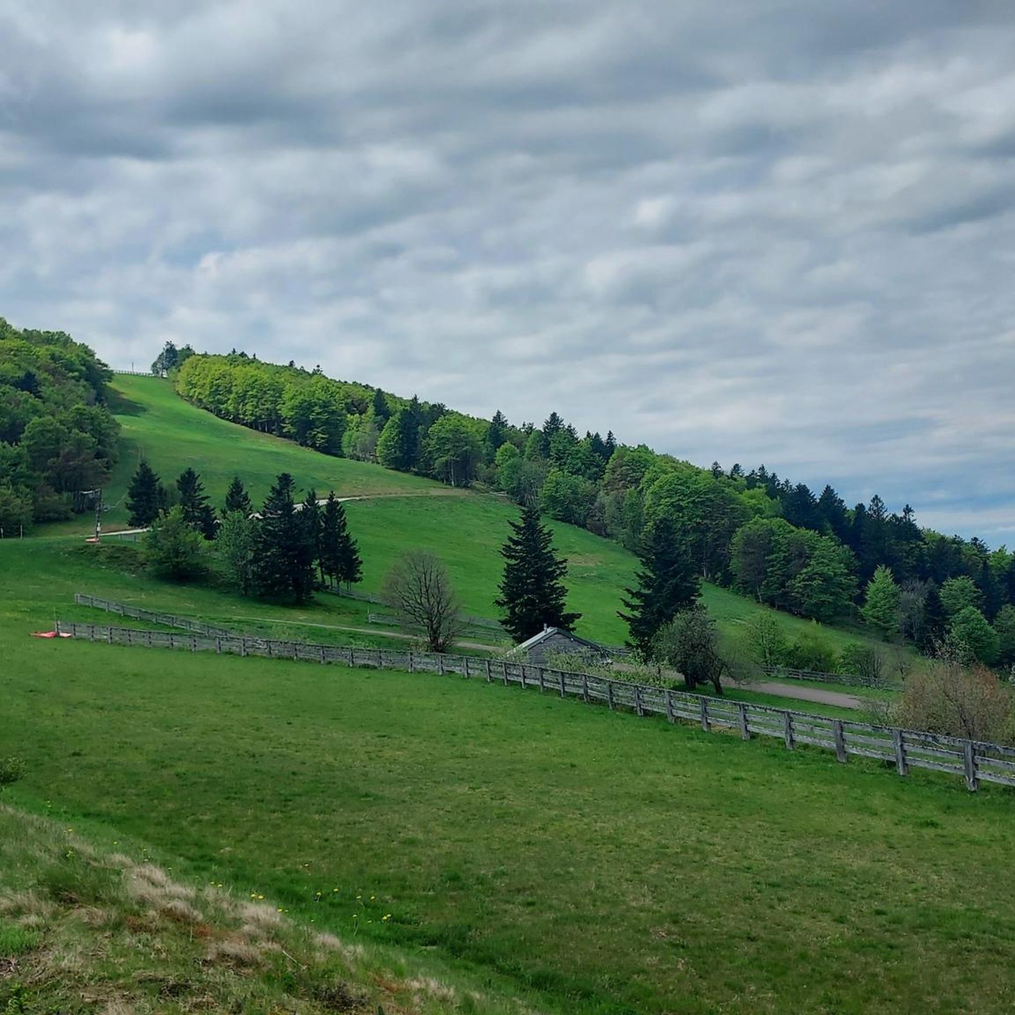
MTB Trails around Réserve Naturelle des Ballons Comtois
Gravel biking around Réserve Naturelle des Ballons Comtois
Mountain Hikes around Réserve Naturelle des Ballons Comtois
Other adventures around Réserve Naturelle des Ballons Comtois


Tips from the Community

When you drive from the Route des Crêtes towards Le Grand Ballon, you pass the Col du Haag (1233 m) almost unnoticed. Yet, this pass marks a special point on the southern flank of the highest mountain in the Vosges. Here, steep roads from the Thurdal leave the wooded slopes and reach the open heights of the massif. From the col, a typical Vosges landscape unfolds with mountain meadows, scattered farms, and sweeping views. The proximity of the Grand Ballon is felt everywhere: the imposing summit towers above the pass and forms the natural goal of the final climbing kilometers. For cyclists, the Col du Haag is mainly known as the point where difficult climbs from the valleys converge before the road continues to rise to the highest point of the Vosges.
6
0
Le Markstein (1184 m) is meer dan alleen een kruispunt op de Route des Crêtes. Het is echter een echte bergpas en het hoogste punt van de oversteek tussen het Lauch- en Thurdal. Het ligt in het hart van het Vogezenmassief, midden een populair wintersportgebied dat nauw verbonden is met de Grand Ballon
6
0
Le Markstein is a well-known winter sports and outdoor resort in the High Vosges, located at an altitude between 1020 and 1268 meters. The resort is situated directly on the iconic Route des Crêtes and forms an important crossroads and recreational area within the municipalities of Oderen and Lauw (near Wildenstein). At Le Markstein, you will find several traditional Fermes-Auberges and hotels where you can taste the local repas marcaire (a traditional hearty meal from the Vosges). Additionally, the location has gained significant fame in cycling; it is regularly the setting for tough mountain stages in the Tour de France (and the Tour de France Femmes), often as the final challenge after the climbs of Petit Ballon and Platzerwasel.
6
0
Het Meer van Kruth-Wildenstein (Lac de Kruth-Wildenstein) is een prachtig, kunstmatig stuwmeer in de Elzas (departement Haut-Rhin), gelegen op een hoogte van 545 meter aan de voet van de Col d'Oderen. Met een oppervlakte van 81 hectare is dit diepblauwe meer omringd door beboste berghellingen een van de absolute parels van de Vogezen en een ideaal rust- of startpunt voor wielrenners.
6
0
The Col d' Oderen is an 8.2 kilometer climb. This is a category 3 climb. It is located in Cornimont, Lorraine, France. The average gradient of this climb is 3.9% with a maximum of 6%. The Col d' Oderen rises from 573 meters at the start to 885 meters at the top, with a total of 312 meters of elevation gain.
7
0
The end of the climb is somewhat disappointing. There is nothing marked. No photo opportunity. You have a small parking lot, a closed military road, and a picnic spot well hidden under the trees. At the two yellow signs (mainly for hikers) there is the only indication that you are at the Ballon de Servance and at 1158 m. The climb is "cozy". No cars, completely shaded, a few kilometer markers.
7
0
La Planche des Belles Filles is a 5.8 kilometer climb. It is a category 1 climb. It is located in Plancher Les Mines, Franche-Comté, France. The average gradient of this climb is 8.6% with a maximum of 13.6%. La Planche des Belles Filles climbs from 527 meters at the start to 1,033 meters at the summit, for a total elevation gain of 506 meters.
7
0
This 5.9-kilometer climb from the village of Plancher-les-Mines in Haute-Saône is one of the most difficult in the Vosges. Indeed, cyclists who want to try it will need to be at least somewhat trained. With a gradient of 24% towards the end of the route, it's better to be well-attached. The gradient never seems to ease, with its hairpin bends and, upon reaching the resort, the last 2 kilometers rise like a wall. However, you'll be able to say that you've done it, so come and try the climb of La Planche too!
8
0
Frequently Asked Questions
How many road cycling routes are available in Réserve Naturelle des Ballons Comtois?
There are over 140 road cycling routes in the Réserve Naturelle des Ballons Comtois, catering to various skill levels. You'll find a diverse selection, from easy rides to very challenging ascents.
What kind of terrain can I expect on road cycling routes in the Réserve Naturelle des Ballons Comtois?
The terrain is characterized by rounded mountain summits known as "ballons," dense beech and fir forests, and deep valleys. You'll encounter significant elevation changes, with high-altitude areas ranging from 600 to over 1,200 meters. Roads are generally well-maintained, offering a smooth surface for road cycling.
Are there challenging climbs for experienced road cyclists in the region?
Absolutely. The Réserve Naturelle des Ballons Comtois is renowned for its challenging climbs, many of which have featured in the Tour de France. Notable ascents include La Planche des Belles Filles, the Ballon de Servance, and the Ballon d'Alsace. For example, the Ballon de Servance – La Planche des Belles Filles loop features over 3,600 feet (1,100 meters) of elevation gain.
What are some scenic landmarks or viewpoints along the road cycling routes?
The region offers numerous scenic points. You can cycle to iconic peaks like the Ballon de Servance or La Planche des Belles Filles, which provide panoramic views. The Route des Crêtes also offers remarkable landscapes. Other points of interest include the Valley of the Lakes and the unique hydrological landscape of the Plateau des Mille Étangs.
Are there any family-friendly or easier road cycling options?
Yes, while the region is known for its challenging climbs, there are also easier options. For more leisurely rides, you can explore paved greenways (Voie Verte des Hautes Vosges) which offer car-free paths through the natural environment. An example of an easier route is the Chapel of Saint-Antoine – Ronchamp loop.
What is the best time of year for road cycling in the Réserve Naturelle des Ballons Comtois?
The best time for road cycling is typically from spring to autumn. During these seasons, the weather is generally favorable, and the roads are clear. The region's high-altitude areas can experience snow and ice in winter, making cycling more challenging or impossible on certain passes.
Can I find loop routes for road cycling in the area?
Yes, many routes in the Réserve Naturelle des Ballons Comtois are designed as loops, allowing you to start and finish at the same point. Examples include the Ballon d'Alsace – Col du Ballon d'Alsace loop and the Col du Ballon d'Alsace – Ballon d'Alsace loop, offering varied distances and difficulties.
What do other road cyclists say about the routes in Réserve Naturelle des Ballons Comtois?
The routes in Réserve Naturelle des Ballons Comtois are highly rated by the komoot community, with an average score of 4.6 stars from over 400 reviews. Reviewers often praise the challenging mountain passes, scenic forest roads, and the overall beauty of the high moor areas.
Where can I find parking for road cycling routes?
Many popular starting points, such as the Ballon d'Alsace, are equipped with parking areas, making them convenient places to begin your ride. It's advisable to check specific route details for parking availability at your chosen starting point.
Are there facilities like cafes or accommodation available along the routes?
The region is well-equipped for visitors. You'll find various services, including cafes, restaurants, and accommodation options in the towns and villages surrounding and within the Réserve Naturelle des Ballons Comtois. These can be found along popular cycling routes and in areas like the Valley of the Lakes.
What natural features can I expect to see while cycling?
Beyond the 'ballons' and forests, the reserve features a mosaic of natural habitats. You might encounter peat bogs (tourbières), scree, glacial cirques, and picturesque waterfalls. Mountain lakes and streams also dot the landscape, adding to the scenic beauty of your ride.
Are there any long-distance road cycling routes in the area?
Yes, the region offers options for longer rides. For example, the Grand Ballon – Markstein loop from Saint-Maurice-sur-Moselle is a challenging 96.6 km route with significant elevation gain, suitable for those looking for an extended cycling adventure.
Most popular routes around Réserve Naturelle des Ballons Comtois
Most popular attractions around Réserve Naturelle des Ballons Comtois

Get inspired with the komoot mobile app


Explore more
Browse the best Road cycling routes in other regions.
