The best walks and hikes around Lustadt
4.5
(3695)
15,886
hikers
18
hikes
Hiking around Lustadt offers diverse landscapes, from rolling hills and picturesque vineyards to verdant forests. The region is characterized by its proximity to the Palatinate Forest, one of Germany's largest contiguous forest areas, and features the Altrhein area, known for its natural beauty. Trails often traverse fields, forests, and meadows, with routes along the Queich and Fuchsbach rivers, providing varied terrain for exploration.
Best hiking trails around Lustadt
- The most popular hiking route is Loschter Handkeesplatz – Ludwigsmühle loop from…
Last updated: July 5, 2026
4.4
(56)
166
hikers
Moderate hike. Good fitness required. Easily-accessible paths. Suitable for all skill levels.
4.5
(2)
15
hikers
7.38km
01:52
10m
10m
Easy hike. Great for any fitness level. Easily-accessible paths. Suitable for all skill levels.

Sign up for free
5.0
(5)
13
hikers
7.15km
01:48
10m
10m
Easy hike. Great for any fitness level. Easily-accessible paths. Suitable for all skill levels.
4.0
(2)
9
hikers
4.41km
01:07
10m
10m
Easy hike. Great for any fitness level. Easily-accessible paths. Suitable for all skill levels.
5.0
(1)
5
hikers
6.71km
01:42
10m
10m
Easy hike. Great for any fitness level. Easily-accessible paths. Suitable for all skill levels.
Get access to more routes and recommendations from other explorers.
Sign up for free
Already have an account?
Our route recommendations are based on thousands of hikes, rides, and runs completed by other people on komoot.
Start today with a free account
Your next adventure awaits.
Login or Signup
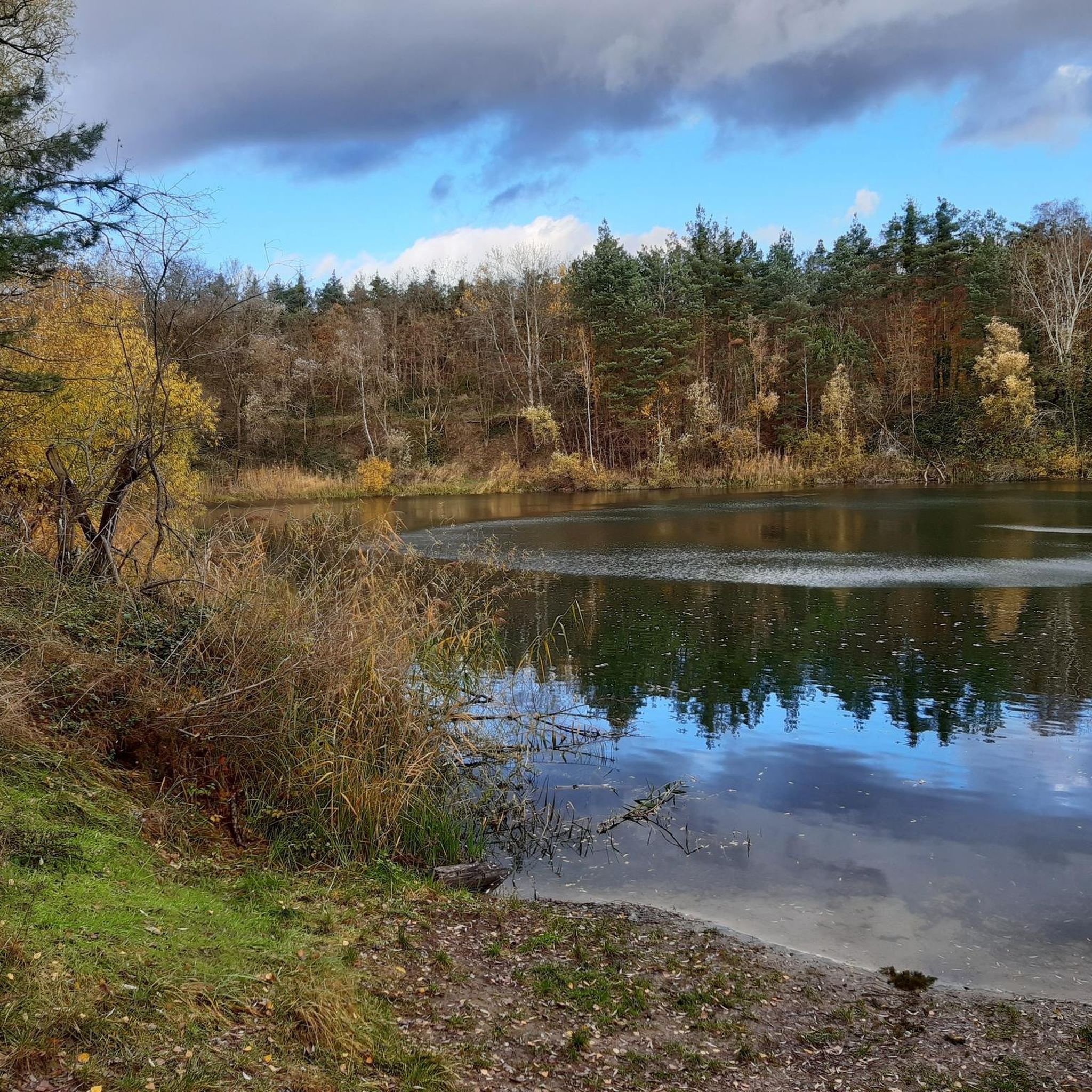
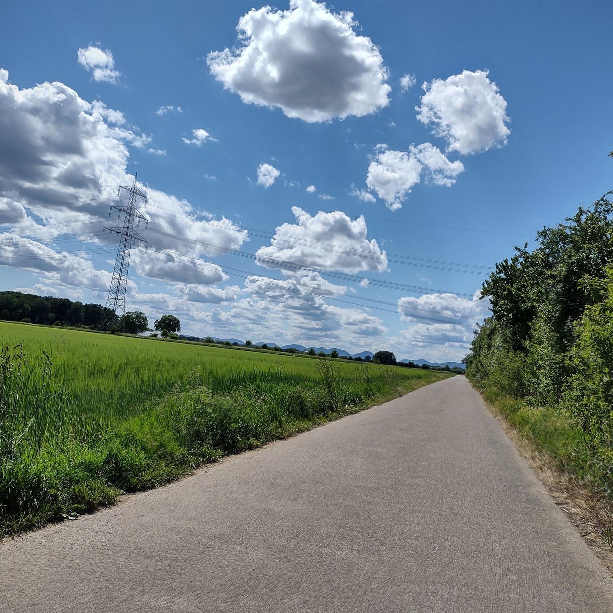
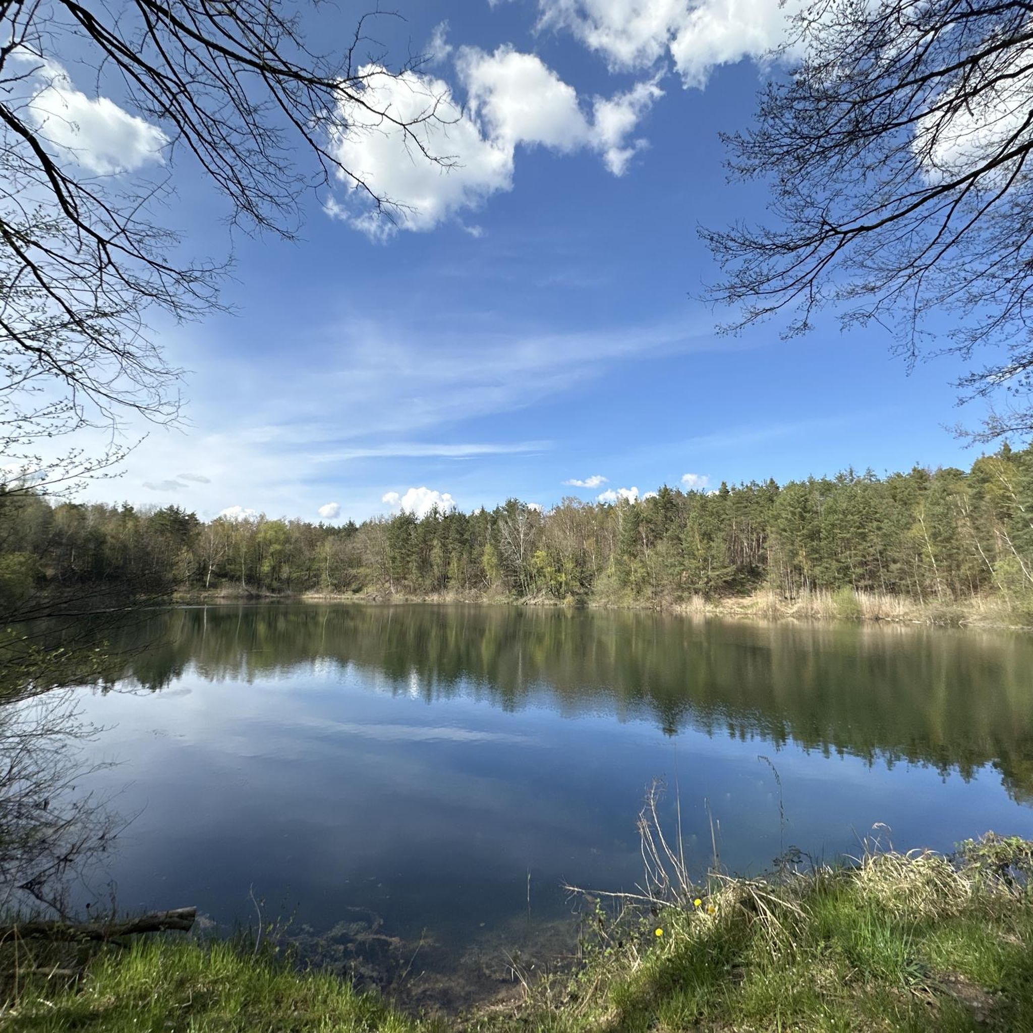
Tips from the Community

Today it seemed deserted, but it must be very busy here in the summer.
0
0

Not far from Lochmühlsee, you cross the Druslach River over a long bridge. You can roll your bike down the steps on the side and push it back up at the end of the bridge.
2
0

A lovely place to relax and unwind in summer.
0
0

Three of the 100 remaining boundary stones mark the border of the Lingenfeld district at this point. The tallest stone bears the year 1781. At that time, the land belonged to the Prince-Bishopric of Speyer. The cross, flanked by the initial letter "D" (left) and a "C" to be added at the missing right corner, indicates the cathedral chapter and can also be seen on the shortest stone. The middle stone is unmarked. The drilled hole served as a tool for moving the heavy stone.
2
0

The “Loschter Handkeesfescht” is usually around May 1st and lasts for three days. THE HISTORY OF THE HANDKEESFESCH At the beginning of the 20th century, “butter-pushing” and “handkeesdrikking” were centuries-old traditions in “Loschter” households. After a large parade in Karlsruhe in 1924, at which a delegation of “Loschter Handkeesdrikker” were greeted with great enthusiasm, the two committed Lustadt residents Georg Lehr and Georg Ott decided to launch the 1st “Loschter Handkeesfescht” in 1925. The idyllic spot in the Lustadt Mayflower Forest was chosen as the location, and over the decades the name “Loschter Handkeesplatz” became a synonym for the Palatinate’s joie de vivre and coziness. The declared aim of the club’s founders was to organize a family-friendly folk festival at affordable prices. In 1925, only a few hundred visitors found their way to the festival grounds, but over the decades the initially modest festival has become one of the largest folk festivals in the southern Palatinate. Tens of thousands of festival-goers now visit us every year. In addition to around 5,000 seats (around 1,000 of which are covered), the festival grounds in the heart of the Mayflower Forest offer plenty of space for our guests. On nice days, it is especially young families who, well equipped with blankets, picnic in a sunny spot in the forest at moderate prices. (Excerpt from loschter-handkeesfescht.de)
1
0


Unfortunately it was closed, but we took a break anyway
1
0
Frequently Asked Questions
How many hiking trails are available around Lustadt, and what are their difficulty levels?
Lustadt offers a wide variety of hiking experiences with over 700 trails. The majority are classified as easy (over 500 routes) or moderate (over 200 routes), making the area accessible for most hikers. There are also a few more challenging routes for experienced trekkers.
What is the best time of year to go hiking in Lustadt?
The most pleasant seasons for hiking in Lustadt are spring and autumn. During these times, the weather is mild, and nature displays its most beautiful colors, from spring blossoms to vibrant autumn foliage. The Altrhein area is particularly recommended in spring and autumn for birdwatching.
Are there any family-friendly hiking trails in Lustadt?
Yes, Lustadt has many family-friendly options. Trails often traverse fields, forests, and meadows on mostly level paths, making them suitable for all ages. The Palatinate Forest, nearby, even features a 'forest nature trail' designed to engage children with local flora and fauna. An easy option is the Zeiskam Queich Sluice Gate – Stork Meadows Near Offenbach loop from Bellheim, which is 3.1 miles (5.0 km) long.
Can I bring my dog on the hiking trails in Lustadt?
Many trails in Lustadt are suitable for hiking with dogs, especially those that lead through the extensive forest networks and open fields. It's always advisable to keep dogs on a leash, especially in areas with wildlife or near agricultural land, and to respect local regulations.
Are there circular hiking routes available in Lustadt?
Yes, many of the hiking routes around Lustadt are designed as circular paths, allowing you to start and end at the same point. A popular moderate circular route is the Loschter Handkeesplatz – Ludwigsmühle loop from Zeiskam, which covers 7.7 miles (12.4 km) and integrates cultural sites.
What natural features or landscapes can I expect to see while hiking in Lustadt?
Lustadt's hiking trails offer diverse landscapes. You can explore the vast Palatinate Forest, stroll through picturesque vineyards with views over the Rhine Valley, or discover the natural beauty of the Altrhein area. Trails also follow the Queich and Fuchsbach rivers, and pass through the Bellheim Forest and Queich meadows.
Are there any historical sites or landmarks to see along the hiking routes?
Yes, Lustadt's trails often combine natural beauty with cultural highlights. You might encounter historic castles like Lustadt Castle or Germersheim Castle. The Ludwig Gate and Fronte Beckers, Fortress Germersheim are notable historical sites. Some routes also lead to the former hunting castle Friedrichsbühl or the cultural site Loschter Handkeesplatz in the Maiblumenwald.
What do other hikers enjoy most about the trails in Lustadt?
The hiking trails in Lustadt are highly rated by the komoot community, with an average score of 4.5 stars from over 3400 reviews. Hikers often praise the varied terrain, the well-maintained paths, and the beautiful combination of forests, vineyards, and riverine landscapes. The accessibility of routes for different skill levels is also frequently highlighted.
Are there any easy, shorter hikes for beginners or a quick stroll?
Absolutely. For an easy and shorter option, consider the Druslachweiher loop from Westheim (Pfalz), which is about 2.3 miles (3.7 km) long. Another gentle choice is the Hiking loop from Weingarten, covering 4.2 miles (6.7 km) through pleasant landscapes.
Are there places to eat or rest along the hiking trails in Lustadt?
While specific cafes or pubs directly on every trail vary, the region offers opportunities to experience the local culinary scene, especially in towns and villages. Some routes might pass by forest inns or huts. For example, the Waldhaus Gommersheim is a restaurant highlight in the area, and there are several huts like Nature Friends' House Iggelheim that can serve as rest stops.
Is public transport available to reach trailheads in Lustadt?
Lustadt is part of the Germersheim region, which has local public transport connections. While specific trailhead access by bus or train can vary, it's generally possible to reach the town of Lustadt and nearby villages via public transport, from where many trails are accessible. It's recommended to check local bus schedules for routes connecting to specific starting points.
Where can I find parking for hiking trails in Lustadt?
Parking is generally available in and around the towns and villages of the Lustadt region. Many trailheads, especially for popular routes, will have designated parking areas. Look for parking facilities near town centers or at the start of well-known hiking loops.
Most popular attractions around Lustadt

Get inspired with the komoot mobile app


Explore more
Browse the best Hikes in other regions.
