The best city hikes and walks in Appenzell Ausserrhoden
4.6
(21568)
133,102
hikers
185
hikes
Urban hiking trails in Appenzell Ausserrhoden traverse a landscape characterized by rolling alpine foothills, picturesque villages, and river valleys. The region features a dense network of paths that wind through forests, along rivers like the Sitter and Urnäsch, and past traditional farmsteads. These routes offer accessible outdoor experiences, connecting urban centers with the surrounding natural environment. The terrain generally consists of gentle gradients and varied surfaces, suitable for walks within or on the outskirts of towns.
Best urban hiking trails…
Last updated: June 28, 2026
23
hikers
6.63km
01:45
60m
60m
Easy hike. Great for any fitness level. Easily-accessible paths. Suitable for all skill levels.
20
hikers
7.64km
02:02
80m
80m
Moderate hike. Good fitness required. Easily-accessible paths. Suitable for all skill levels.

Sign up for free
5.0
(2)
13
hikers
Moderate hike. Good fitness required. Easily-accessible paths. Suitable for all skill levels.
15
hikers
4.22km
01:04
10m
10m
Easy hike. Great for any fitness level. Easily-accessible paths. Suitable for all skill levels.
11
hikers
7.23km
01:53
50m
50m
Easy hike. Great for any fitness level. Easily-accessible paths. Suitable for all skill levels.
Get access to more routes and recommendations from other explorers.
Sign up for free
Already have an account?
Our route recommendations are based on thousands of hikes, rides, and runs completed by other people on komoot.
Start today with a free account
Your next adventure awaits.
Login or Signup
Popular around Appenzell Ausserrhoden
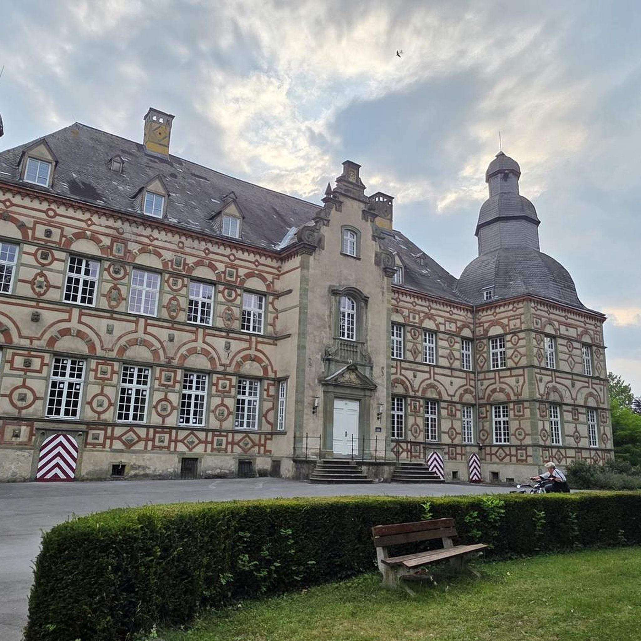
City hikes in Mittelland

City hikes in Vorderland
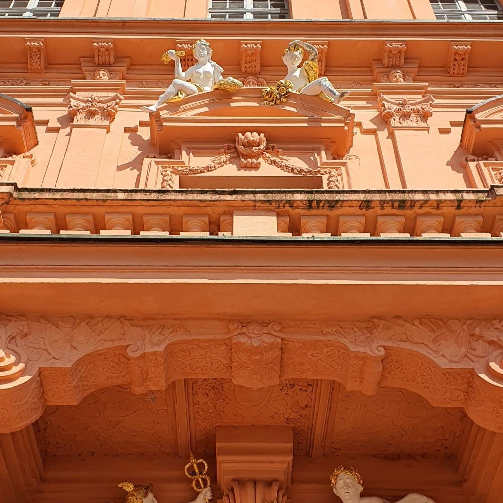
City hikes in Hinterland

City hikes around Gübsensee

Alpine Panorama Trail in Switzerland – Keep your eyes on the mountains

Via Jacobi – Following the Way of St James across Switzerland
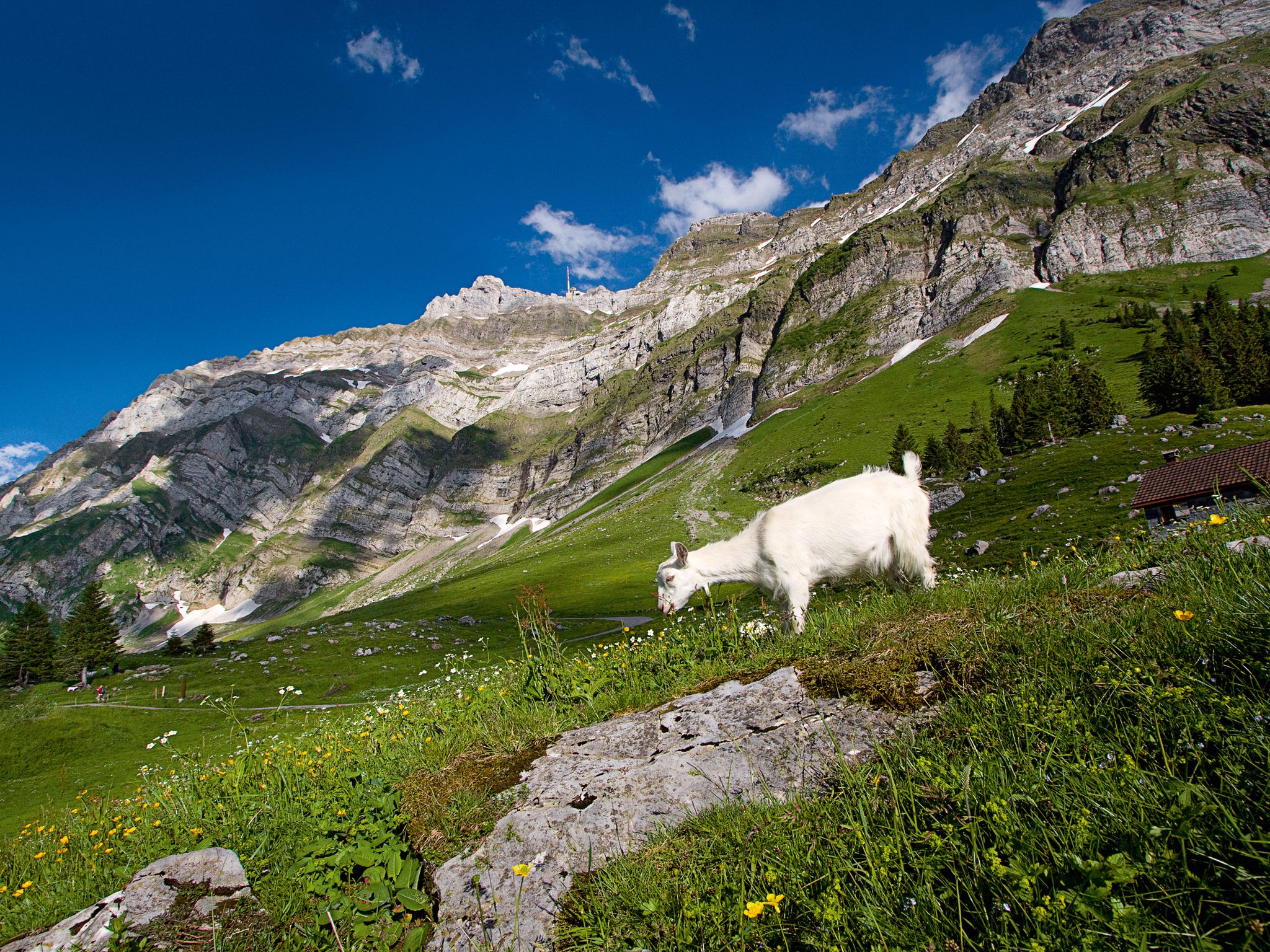
When the mountain awakens – spring hikes around the Schwägalp
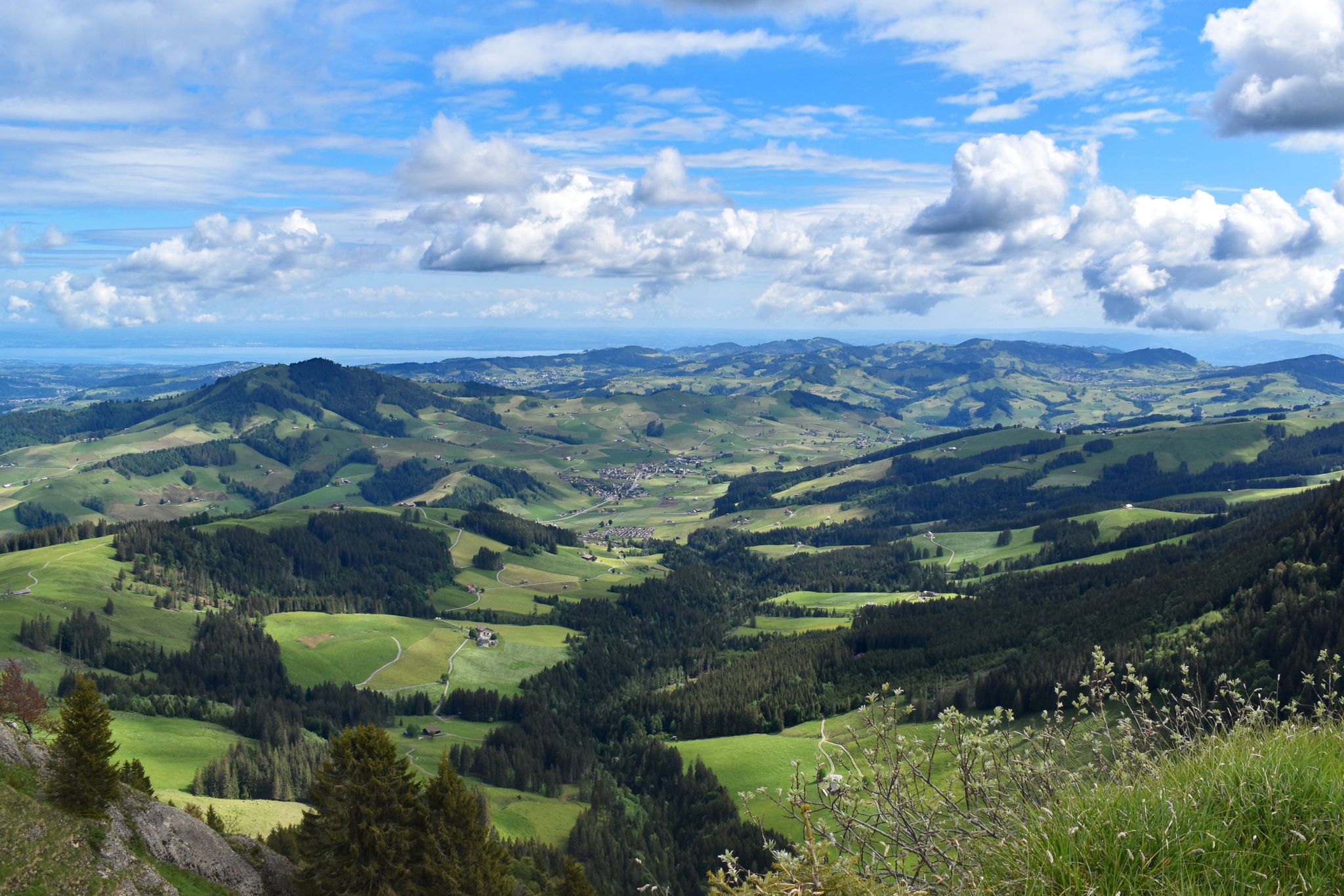
Appenzeller Weg – pilgrimage routes from Austria to Switzerland
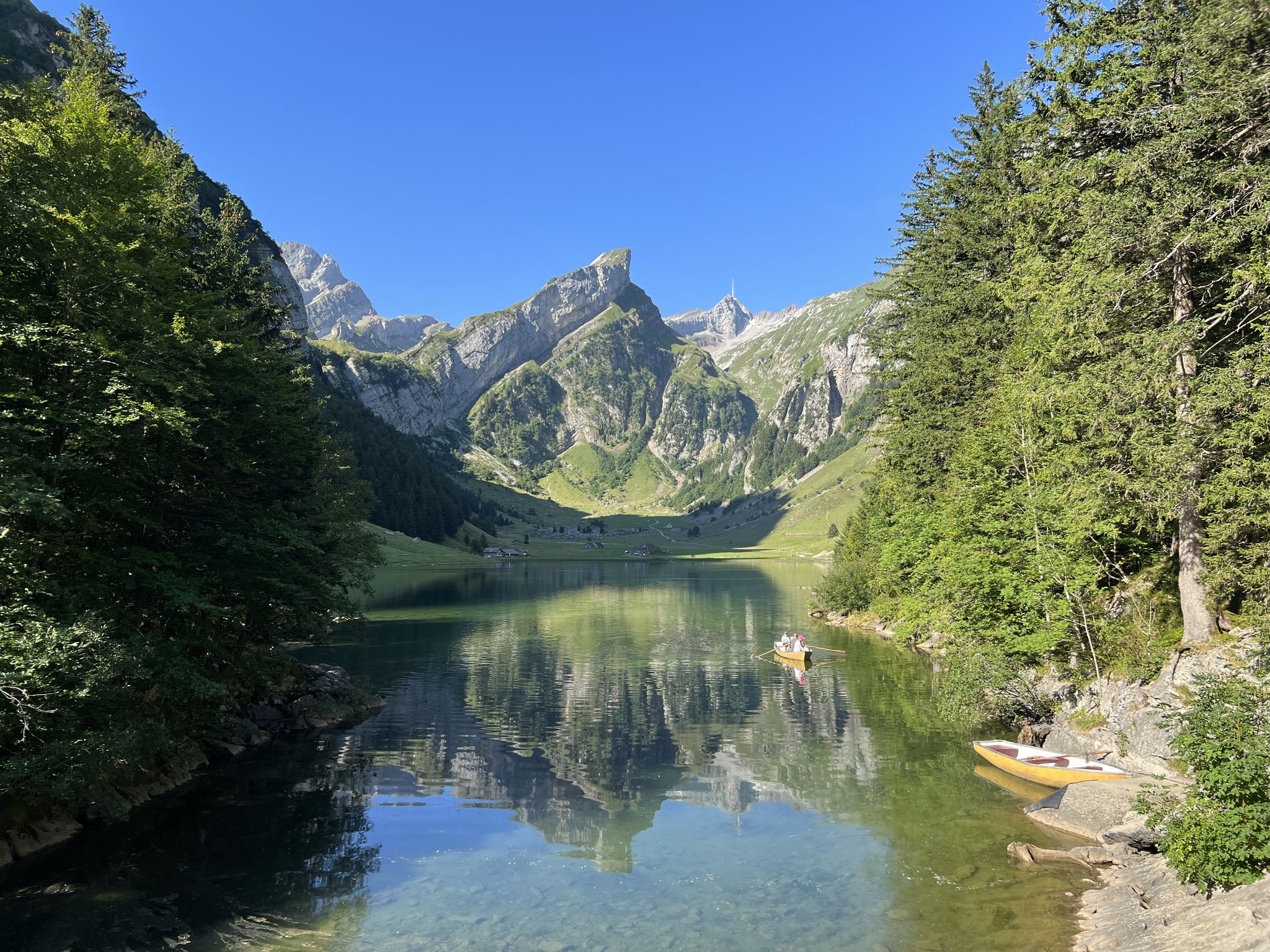
Exciting day hikes in Switzerland’s Alpstein
Cultural Trail Appenzellerland - Hiking between Lake Constance and Alpstein
Other adventures in Appenzell Ausserrhoden


Tips from the Community

From July 2026, the former Kybunpark stadium will be called "Berit Sitterstadion"
1
0


I didn't see the solar eclipse, but I enjoyed a lot of beautiful views during a 42km run along Lake Constance.
0
0

At 700 steps in a row, you'll really get your pump working hard.
0
0

St. Gallen Railway Station - Opened 1856 The first railway station in St. Gallen dates back to the years 1853–1856. At that time, the United Swiss Railways conducted a site plan. The first station, completed in 1856, no longer met the requirements by the 1880s. After 25 years of planning disputes, the newly founded Swiss Federal Railways (SBB), together with the city of St. Gallen, implemented a complete redesign of the station area starting in 1902. The redesign included the following structures: A new station building with a platform hall and a narrow-gauge railway station west of the existing station (the latter was built later) A new circular segment engine shed with a residential building, bathhouse, and water tower Three new signal boxes The lowering of the northeastern approach and the expansion of the freight, storage, and shunting facilities with a new customs and freight yard. ... Text / Source: de-academic.com https://de-academic.com/dic.nsf/dewiki/1316632
14
0

On 12 June 2024, the newly cast figure of St. James was placed on the fountain
1
0

I think it's a shame that everyone is only focusing on the beautiful bathhouse. The lakeside promenade has so much more to offer. Unfortunately, I forgot to photograph it, otherwise I would have liked to post a few pictures. Now, take this as an incentive and take some nice pictures of the promenade.
3
0
Frequently Asked Questions
How many urban hiking trails are available in Appenzell Ausserrhoden?
Appenzell Ausserrhoden offers nearly 200 urban hiking trails. The vast majority, over 150, are rated as easy, making them accessible for most hikers. There are also around 40 moderate routes and a few more challenging options for those seeking a greater adventure.
What do other hikers enjoy most about urban hiking in Appenzell Ausserrhoden?
The urban hiking trails in Appenzell Ausserrhoden are highly rated by the komoot community, with an average score of 4.6 out of 5 stars from over 4,600 reviews. Hikers often praise the region's picturesque landscapes, the blend of town and nature, and the well-maintained paths that make for enjoyable strolls.
Are there any easy urban loops suitable for families or beginners?
Yes, Appenzell Ausserrhoden has many easy urban loops perfect for families and beginners. An excellent option is the Hiking loop from St. Margrethen SG, which is just over 4 km long and features minimal elevation gain. Another gentle choice is the St. Gallen Main Railway Station loop from St. Gallen Haggen, offering a pleasant 6.6 km walk.
What kind of natural features can I expect to see on urban hikes in Appenzell Ausserrhoden?
Even on urban hikes, you'll encounter the charming natural beauty of Appenzell Ausserrhoden. The region is characterized by rolling hills, lush green valleys, and picturesque rivers. While the dramatic Alpstein massif is further afield, many urban routes offer glimpses of the surrounding foothills and access to local green spaces and smaller bodies of water like Gäbrisseeli or Gübsensee East.
Are there urban trails that offer scenic viewpoints or landmarks?
Absolutely. Many urban trails in Appenzell Ausserrhoden provide lovely views and pass by local landmarks. For instance, the Rorschach Harbor – Kornhaus, Rorschach loop from Sandbüchel offers scenic views along Lake Constance. While the highest peaks like Säntis Summit are typically reached via more alpine routes, you can often enjoy panoramic vistas of the surrounding hilly landscape from elevated points within the towns.
How accessible are the urban hiking trails by public transport?
Many starting points for urban hiking trails in Appenzell Ausserrhoden are easily accessible via public transport. The region has a well-developed network of trains and buses, making it convenient to reach trailheads without a car. For example, the St. Gallen Main Railway Station loop starts directly from a major transport hub.
Are there any urban hikes that pass by interesting cultural or historical sites?
Yes, Appenzell Ausserrhoden's urban hikes often weave through areas rich in cultural heritage. You might pass traditional Appenzeller farmhouses, historic village centers, or local chapels. The Kobel Chapel Berneck – Schlifisteg Steps in Berneck loop from Au SG is a moderate route that includes a notable chapel, offering a glimpse into the region's history and architecture.
What is the typical length and duration of an urban hike in this region?
Urban hikes in Appenzell Ausserrhoden vary in length, but many are designed for a pleasant half-day outing. You'll find routes ranging from 4 km to over 8 km. For example, the Bildweiher – Kybunpark Stadium loop from kybunpark is about 7.2 km and takes around 1 hour 50 minutes, while shorter options can be completed in just over an hour.
Can I find urban hikes that are circular routes?
Yes, the majority of urban hiking trails in Appenzell Ausserrhoden are circular routes. This design allows for convenient exploration, bringing you back to your starting point without needing to retrace your steps. All the routes highlighted in this guide, such as the St. Gallen Main Railway Station loop and the Rorschach Harbor – Kornhaus, Rorschach loop, are circular.
Are there any urban trails that offer views of the Alpstein massif?
While urban trails generally stay within the lower, rolling hills, some routes on the fringes of towns or from slightly elevated positions may offer distant views of the majestic Alpstein massif, especially on clear days. The Alpstein, with prominent peaks like Säntis and Girenspitz, forms a dramatic backdrop to the region's landscape.
Most popular routes in Appenzell Ausserrhoden
Most popular attractions in Appenzell Ausserrhoden

Get inspired with the komoot mobile app


Didn’t find what you were looking for?
Check out more Hikes throughout Appenzell Ausserrhoden below and find the perfect route in your destination.
Explore more
Browse the best Hikes in other regions.
