The best hikes from bus stations in Espace Mittelland
4.6
(45884)
320,968
hikers
6,318
hikes
Hiking in Espace Mittelland offers diverse landscapes, from the dramatic rock formations of the Creux du Van to the majestic peaks of the Bernese Oberland. The region is characterized by extensive mountain ranges, including parts of the Jungfrau massif and the Jura Crest Trail, alongside picturesque lakes such as Thun, Brienz, and Neuchâtel. Deep gorges like the Areuse and Gottéron also feature prominently, providing varied terrain for exploration. This extensive network of bus station hiking trails caters to a wide…
Last updated: October 11, 2026
4.8
(119)
725
hikers
16.1km
06:36
1,050m
1,050m
Hard hike. Very good fitness required. Sure-footedness, sturdy shoes and alpine experience required.
4.7
(145)
1,647
hikers
4.14km
01:05
30m
30m
Easy hike. Great for any fitness level. Easily-accessible paths. Suitable for all skill levels.

4.6
(151)
726
hikers
13.5km
04:50
680m
670m
Moderate hike. Good fitness required. Mostly accessible paths. Sure-footedness required.
4.8
(102)
807
hikers
11.9km
05:32
960m
960m
Hard hike. Very good fitness required. Sure-footedness, sturdy shoes and alpine experience required.
4.5
(125)
498
hikers
7.02km
02:14
290m
290m
Moderate hike. Good fitness required. Mostly accessible paths. Sure-footedness required.
Get access to more routes and recommendations from other explorers.
Already have an account?
Our route recommendations are based on thousands of hikes, rides, and runs completed by other people on komoot.
Start today with a free account
Your next adventure awaits.
Popular around Espace Mittelland
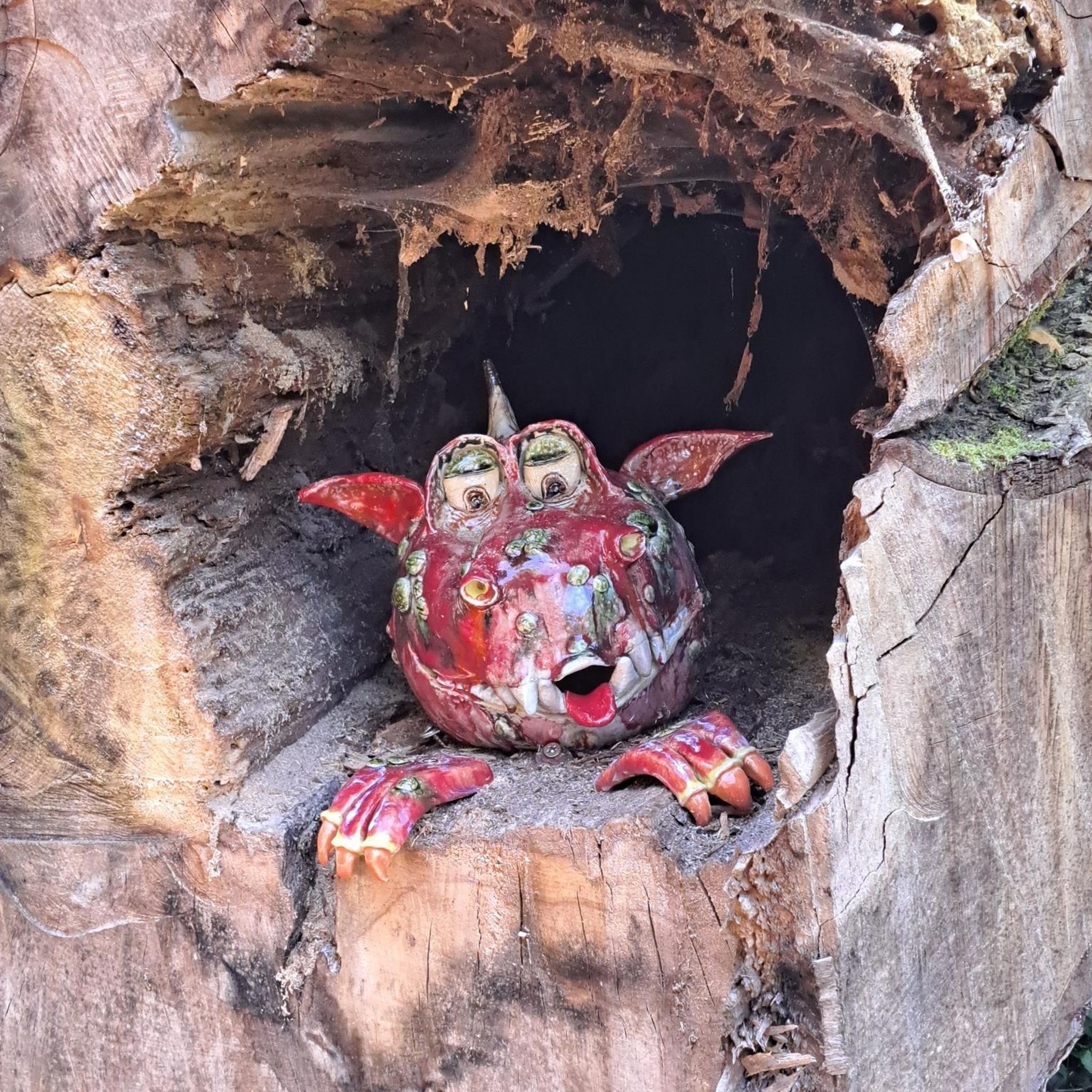
Hikes from bus stations in the Verwaltungsregion Oberland
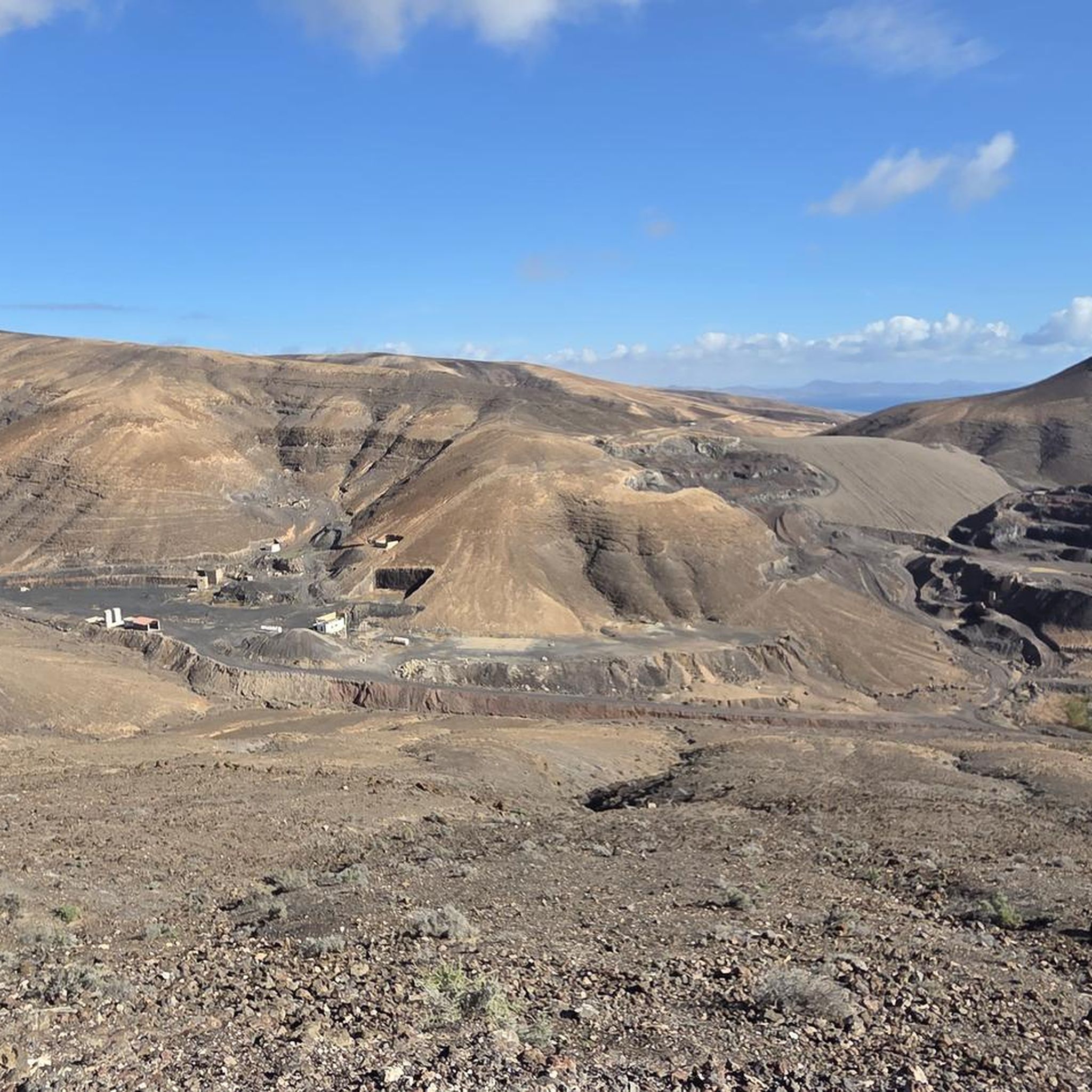
Hikes from bus stations in Solothurn
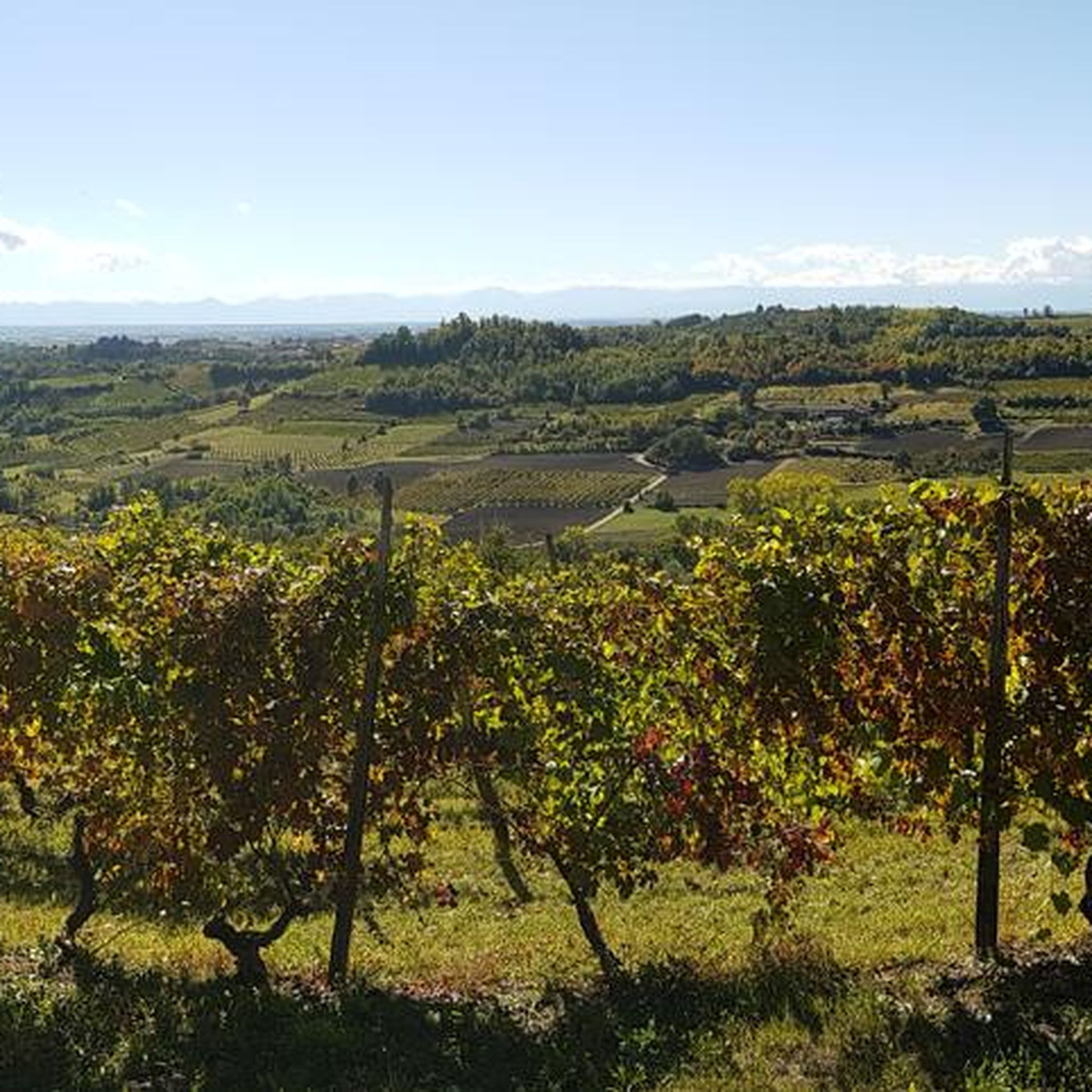
Hikes from bus stations in Frutigen-Niedersimmental

Hikes from bus stations around Bern
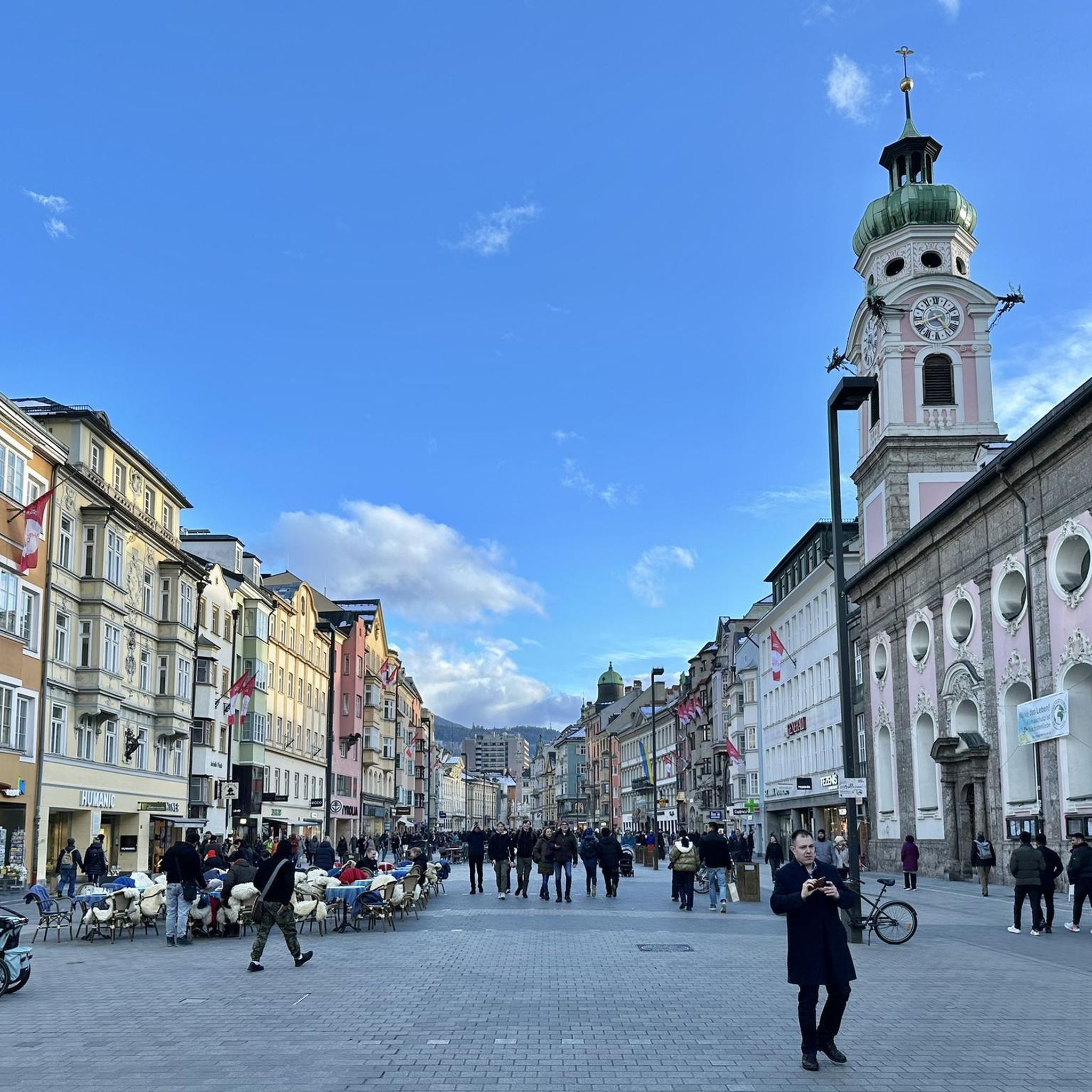
Hikes from bus stations around Fribourg
Hikes from bus stations in Interlaken-Oberhasli
Hikes from bus stations around Parc naturel régional du Doubs
Hikes from bus stations in Freiberge
Hikes from bus stations in Obersimmental-Saanen

Hikes from bus stations around Neuchâtel
Other adventures in Espace Mittelland


Tips from the Community

A practical tip for everyone who is out and about around Schwarzsee: Fäschtus' Biohüttli is a small self-service farm shop with organic/Demeter quality products. The shop is open around the clock every day, so you can also stop by outside of normal opening hours. The range is seasonal and includes, among other things, vegetables, potatoes, eggs, homemade pasta, flour, fruit, bread, and other products directly from the organic farm. On Fridays, Saturdays, and Sundays, there are also fresh plaited loaves.
0
0
A beautiful way to combine the Schwarzsee circular trail with Kneipp therapy. The approximately 4 km long route features seven different Kneipp experiences – including water treading, an arm bath, a barefoot path, a knee shower, and several stations for water treading in streams and the lake. Particularly nice: The Kneipp stations are located in the middle of nature and make the circular trail more varied. On warm days, the cold water provides a welcome refreshment. The Kneipp trail is free, very easy, and also suitable for families. You should plan about 2 hours for the complete round with all stations. Shoes and a small towel for your feet are recommended.
0
0

The hiking trail to the Sigriswiler Rothorn comes close to the tunnel entrance. However, the trail turns left 50 meters before that.
8
0
Beautiful and little-frequented summit with panoramic views
7
0

Difficult ascent including easy climbing but at the top everything is forgotten, the effort was worth it, the view is amazing.
0
1

A small but lovely place to linger. Delicious food and friendly people. We'd love to come back!
0
0
A beautiful panorama and a wide view into the distance. Sit on the bench and enjoy!
0
0

The Sigriswiler Rothorn (2,051 m) is an impressive vantage point high above Lake Thun ⛰️🌊. The ascent is mostly along the ridge and requires surefootedness and a head for heights ⚠️🥾 – caution is advised, especially in wet conditions. At the top, you'll be rewarded with a fantastic 360° panorama: views of the Eiger, Mönch, and Jungfrau, the Mittelland, and Lake Brienz and Lake Thun 🏔️👀 – ideal for a summit rest and impressive photos 📸. Equipment: Sturdy hiking boots, weather protection 🧥, provisions 🥪, water 💧. No food or drink options along the way. Recommendation: Set off early ⏰, and avoid the ridge in uncertain weather. An absolutely worthwhile summit for experienced hikers!
1
0
Frequently Asked Questions
How many bus station hiking trails are available in Espace Mittelland?
The Espace Mittelland region offers a vast network of hiking trails accessible directly from bus stations, with over 6,400 routes available on komoot. This includes a wide range of options from easy strolls to challenging mountain ascents.
What kind of landscapes can I expect on bus-accessible hikes in Espace Mittelland?
You'll encounter incredibly diverse landscapes, from the dramatic horseshoe-shaped rock cirque of the Creux du Van to the serene shores of lakes like Lake Thun and Lake Brienz. Many routes also traverse lush valleys, dense forests, and offer panoramic views of the Bernese Alps, including peaks like the Jungfrau massif and the Eiger. Gorges such as the Areuse Gorge and the Gottéron gorge also feature prominently.
Are there any family-friendly bus station hikes in the region?
Yes, Espace Mittelland has numerous family-friendly options. Look for trails with lower elevation gain and shorter distances. While specific family-friendly routes are abundant, a good example of a relatively easy and scenic walk is the Schwarzsee Lake Circuit, which offers pleasant lakeside views and is generally flat, making it suitable for all ages.
Can I bring my dog on these bus-accessible hiking trails?
Many trails in Espace Mittelland are dog-friendly, but it's always best to check local regulations for specific routes or nature reserves. Generally, dogs are welcome on leash. Ensure you bring enough water for your pet, especially on longer or more exposed routes. Always clean up after your dog to preserve the natural beauty for everyone.
What are some notable viewpoints or landmarks accessible from bus station hikes?
The region is rich in stunning viewpoints and landmarks. You could hike to the Niederhorn Summit for incredible vistas, or explore the unique natural amphitheater of Creux du Van. Other highlights include the Bantiger Observation Tower and the majestic Brienzer Rothorn Summit. Many trails offer continuous panoramic views of the surrounding mountains and lakes.
Are there any circular bus station routes available?
Yes, many bus-accessible routes in Espace Mittelland are designed as circular walks, allowing you to start and end at the same bus stop without needing to retrace your steps. The Schwarzsee Lake Circuit is a prime example of a beautiful circular route that is easily accessible by public transport.
What is the best time of year to go hiking from bus stations in Espace Mittelland?
The best time largely depends on the elevation and type of hike. Spring (April-May) brings blooming wildflowers and milder temperatures in lower valleys. Summer (June-September) is ideal for higher alpine routes, though popular trails can be busy. Autumn (October-November) offers stunning fall foliage, especially in forested areas. Winter hiking and snowshoeing are also popular in higher regions like Saanenland, but require appropriate gear and checking conditions.
Are there any challenging bus station hikes for experienced hikers?
Absolutely. For experienced hikers seeking a challenge, routes like To the ibexes on the Augstmatthorn or the Sigriswiler Rothorn Panorama Trail offer significant elevation gains and rugged terrain, rewarding hikers with spectacular views and a true alpine experience. These routes are often accessible via bus connections to mountain villages or trailheads.
What do other hikers say about the bus-accessible trails in Espace Mittelland?
The Espace Mittelland region is highly rated by the komoot community, with an average score of 4.6 out of 5 stars. Reviewers often praise the excellent public transport accessibility, the well-maintained trails, and the breathtaking diversity of landscapes, from serene lakes to dramatic mountain vistas. Many highlight the convenience of reaching stunning natural areas without a car.
Are there any hikes that feature gorges or dramatic rock formations?
Yes, the region is known for its impressive geological features. The Gottéron gorge near Fribourg offers a captivating walk through a deep ravine. Another notable option is the Wolfsschlucht Trail in Thal Nature Park, which takes you through a scenic gorge. The iconic Creux du Van, a natural rock amphitheater, is also a must-see, often incorporated into bus-accessible routes.
Most popular routes in Espace Mittelland
Most popular attractions in Espace Mittelland

Get inspired with the komoot mobile app


Didn’t find what you were looking for?
Check out more Hikes throughout Espace Mittelland below and find the perfect route in your destination.
Explore more
Browse the best Hikes in other regions.
