The best hikes from bus stations around the Tajo
4.5
(1171)
8,048
hikers
146
hikes
Bus station hiking trails around the Tajo region in Spain offer diverse landscapes shaped by the Tajo River. The area features deep canyons, impressive gorges, and extensive riverine ecosystems. Hikers can explore ancient mountain ranges, quartzite hills, and Mediterranean scrubland, with elevations ranging from river valleys to significant peaks. The terrain includes both accessible paths and more challenging routes with notable elevation gains.
Best bus station hiking trails around the Tajo
- The most popular bus station hiking route is El…
Last updated: July 12, 2026
4.3
(4)
17
hikers
Moderate hike. Good fitness required. Easily-accessible paths. Suitable for all skill levels.
5.0
(2)
23
hikers
12.5km
04:11
370m
370m
Hard hike. Good fitness required. Sure-footedness, sturdy shoes and alpine experience required.

Sign up for free
1
hikers
10.1km
02:40
100m
100m
Moderate hike. Good fitness required. Easily-accessible paths. Suitable for all skill levels.
4.8
(15)
70
hikers
8.13km
02:18
170m
170m
Moderate hike. Good fitness required. Easily-accessible paths. Suitable for all skill levels.
3.2
(5)
76
hikers
5.95km
01:41
130m
130m
Easy hike. Great for any fitness level. Easily-accessible paths. Suitable for all skill levels.
Get access to more routes and recommendations from other explorers.
Sign up for free
Already have an account?
Our route recommendations are based on thousands of hikes, rides, and runs completed by other people on komoot.
Start today with a free account
Your next adventure awaits.
Login or Signup
Popular around Tajo
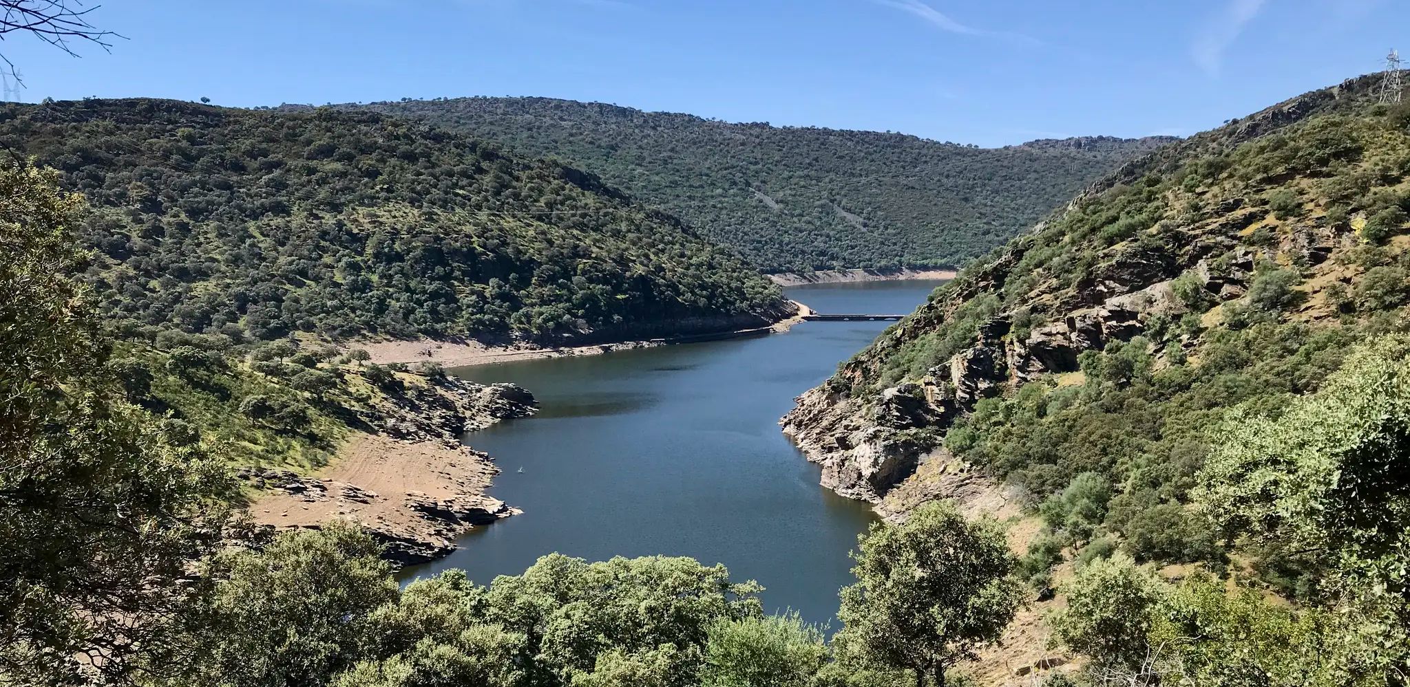
Toledo to Cedillo – Camino Natural del Tajo West

Albarracín to Toledo – Eastern Tagus Nature Trail
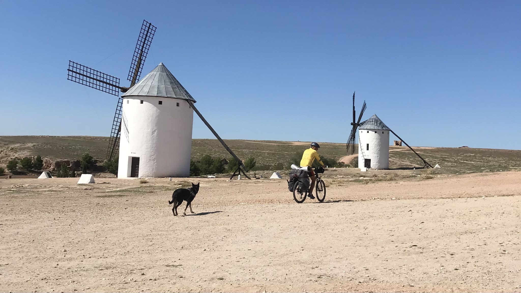
Don Quixote's route – The knight of the sorry face

Around the World in 80 Days
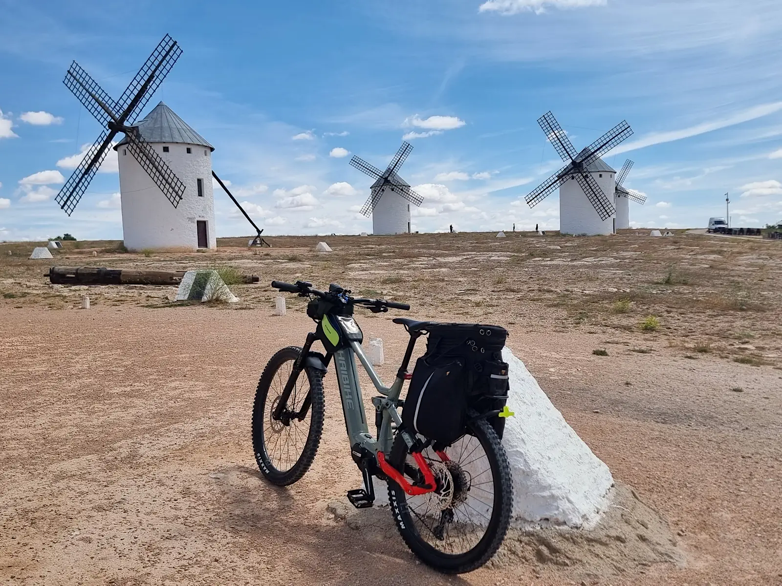
Route of Don Quixote – cycling between rivers, lagoons and hills
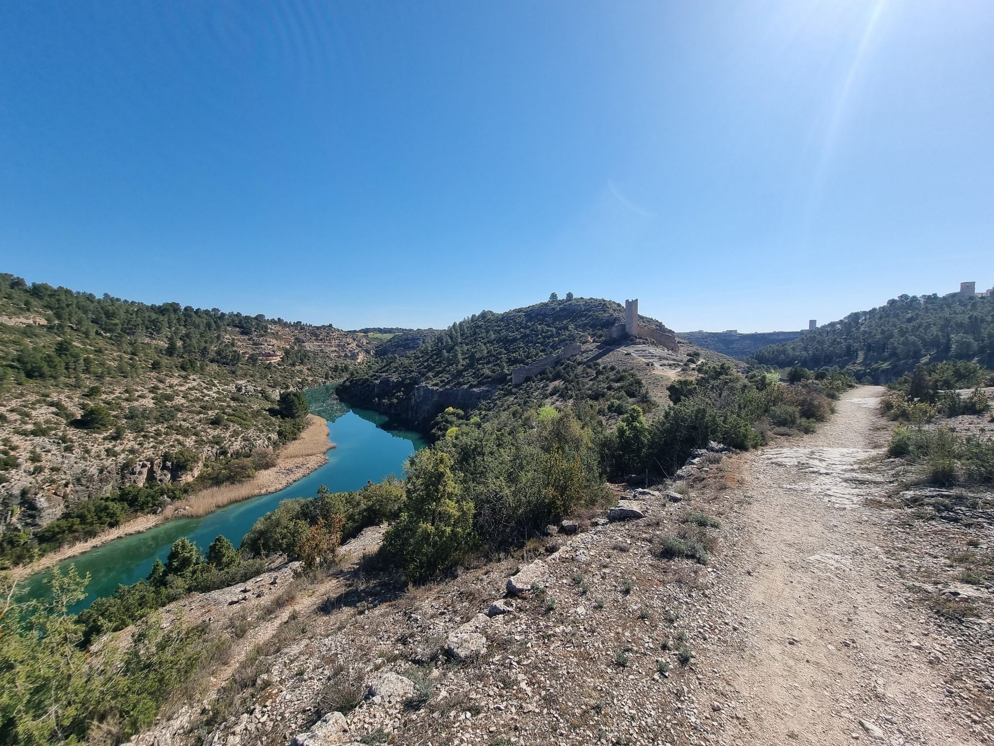
A gravel bike adventure between Madrid and Valencia
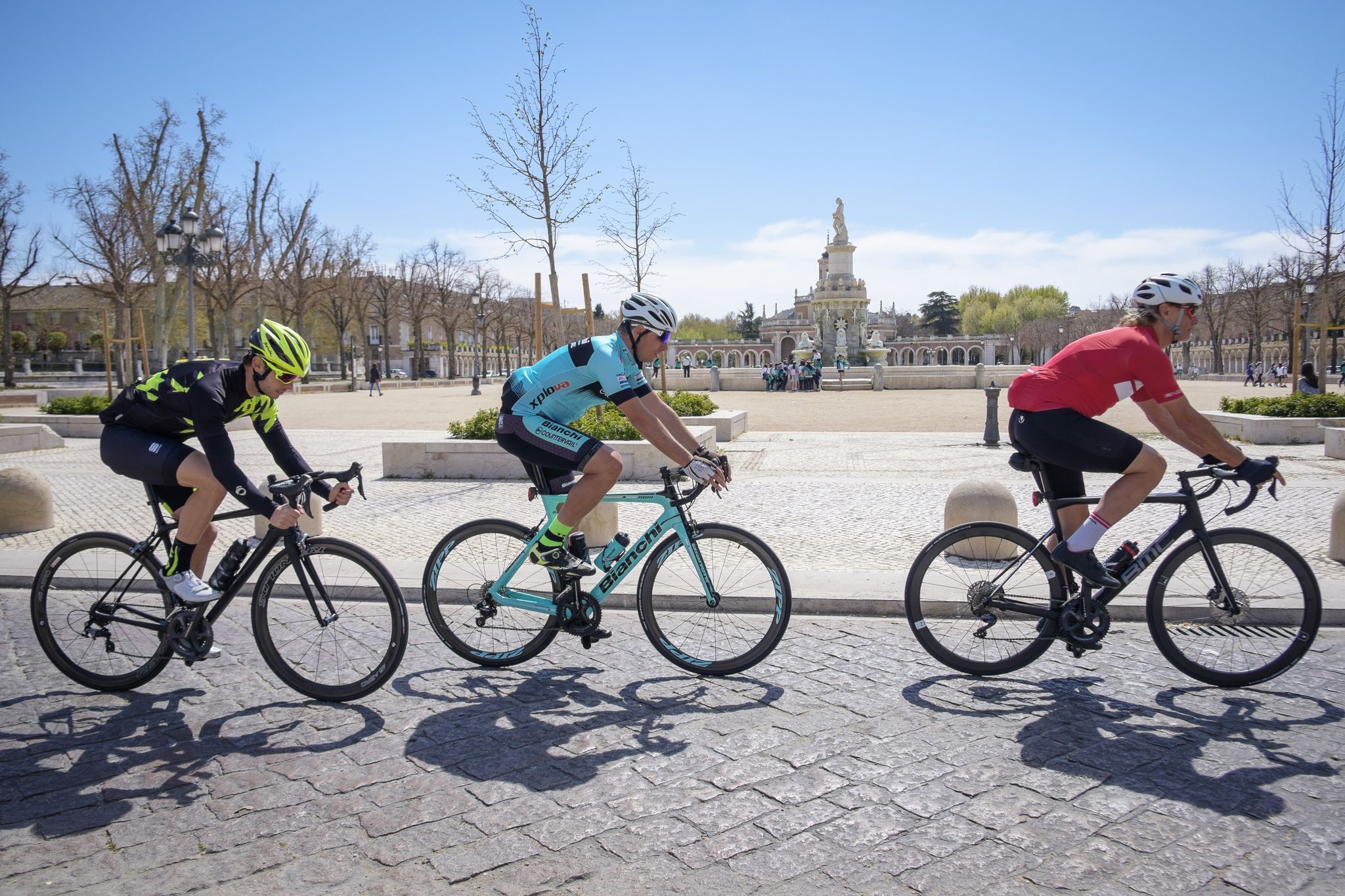
Ports, countryside and rivers – Tour of Madrid by road bike
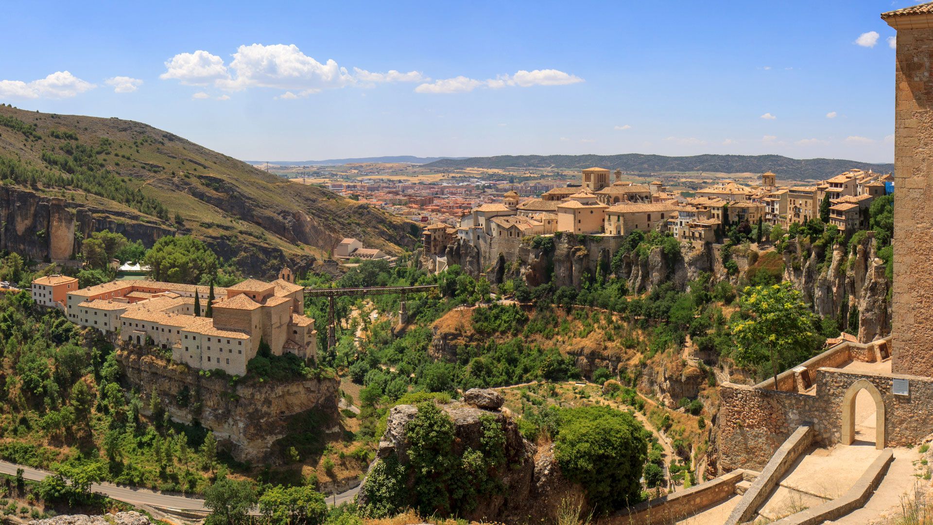
Levante to Castile – Ruta de la Lana Gravel Route
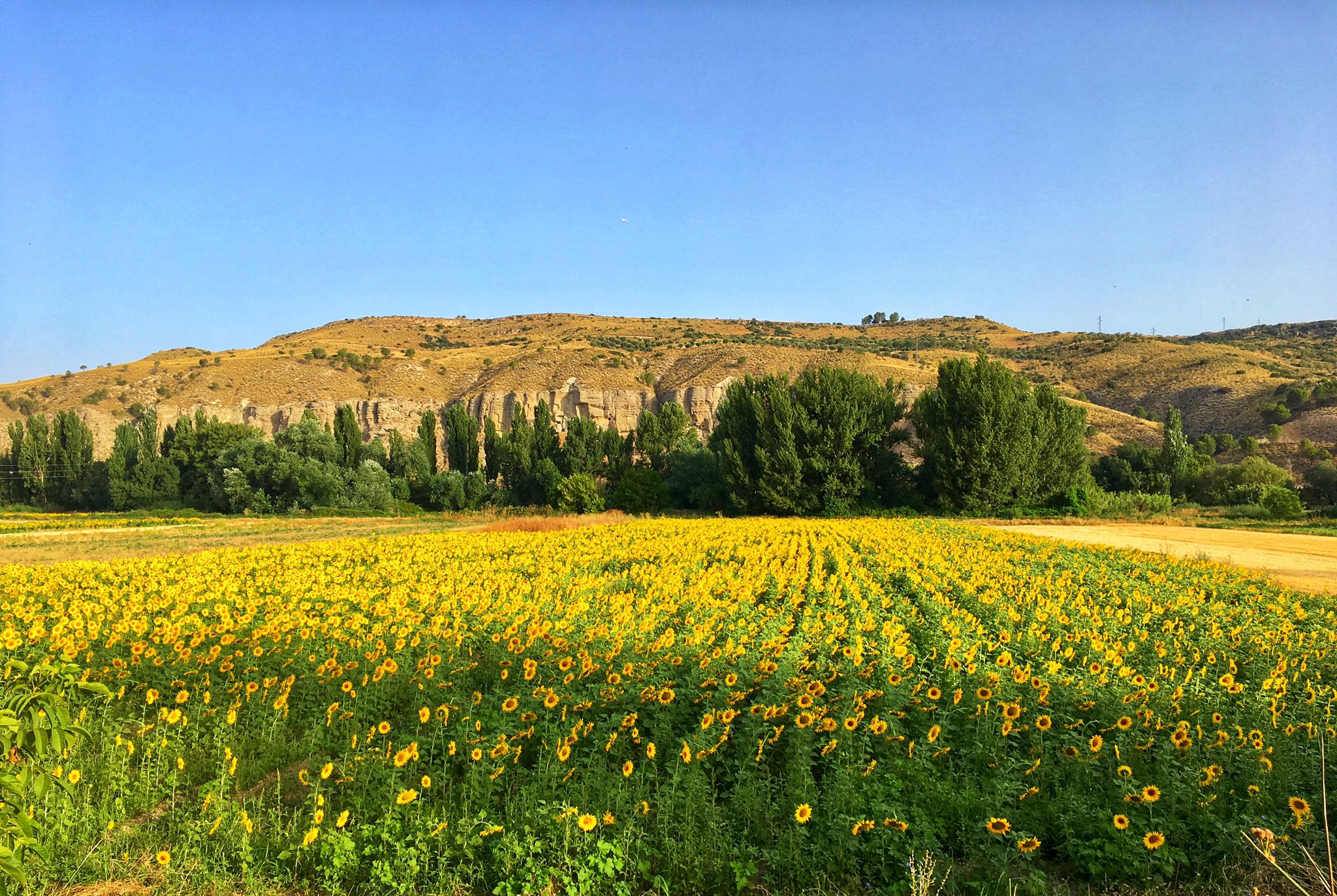
Palaces, rivers and fields — Las Vegas de Madrid gravel tour
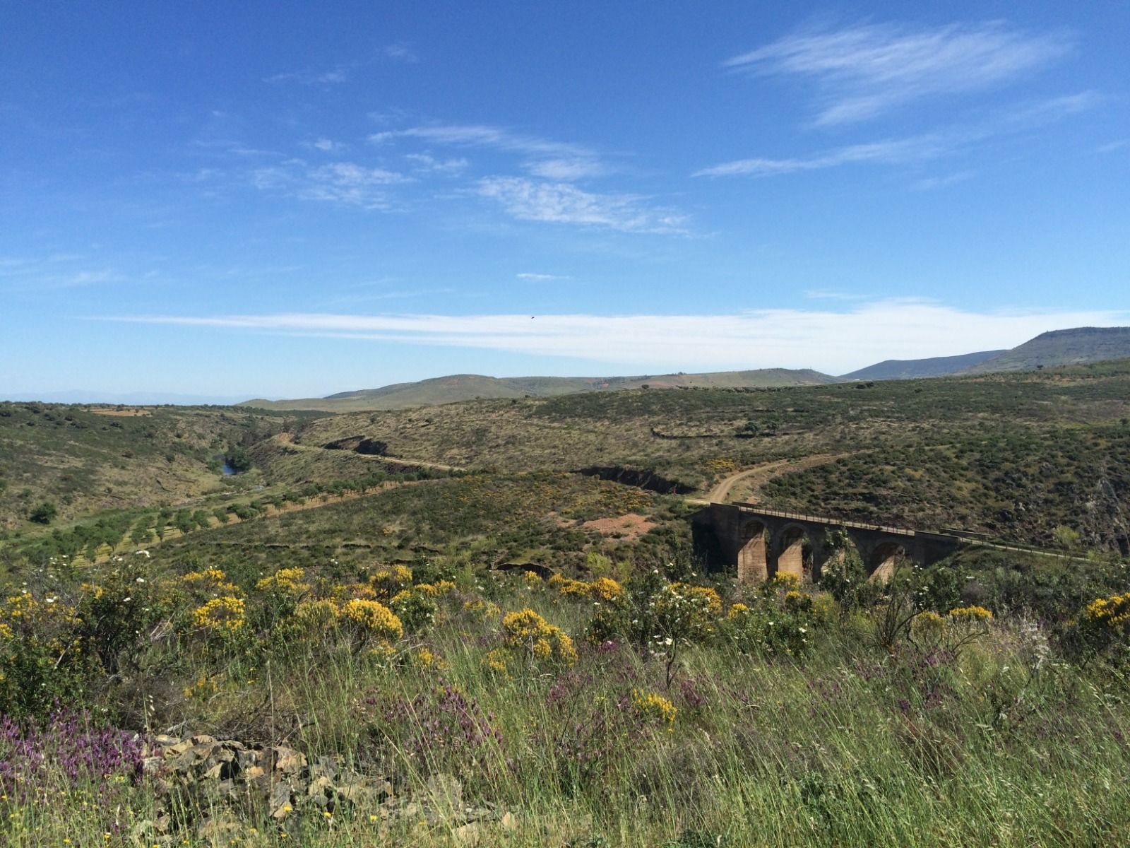
A gravel pilgrimage – Toledo to Guadalupe (GR 166)
Other adventures around the Tajo


Tips from the Community

Historic bridge commissioned by the Archbishop of Toledo in the 14th century, in spring/summer home to hundreds of swifts, creating a unique spectacle.
0
0

How beautifully the Tagus winds around Toledo
8
1

Arco de Palacio Street is one of the most emblematic streets in Toledo's historic center, located next to the Primate Cathedral and the Archbishop's Palace. It takes its name from the Arco de Palacio (Palace Arch), an elevated passageway that connects the two buildings. Arco de Palacio Street is located in the heart of the historic center, very close to: City Hall Square, Hombre de Palo Street, Trinidad Street, Nuncio Viejo Street.
13
0
The Alcántara Bridge is one of Toledo's most important historical gateways and a key engineering feat dating back to Roman times. Originally built by the Romans as part of the roads crossing the Tagus River towards the city of Toletum, it was rebuilt in several stages due to damage and flooding of the Tagus. Notable phases include: 10th century: renovation under Islamic rule (the horseshoe arch was added). 13th century: reconstruction under Alfonso X, from which the western tower originates. 1721: replacement of the eastern tower with a Baroque triumphal arch. One of the Alcántara Bridge's greatest attractions is that it offers one of the best panoramic views of the Alcázar of Toledo, thanks to its low position next to the Tagus River.
1
0

The street takes its name from the arch and passageway that connects the Archbishop's Palace with the Primate Cathedral. The original arch burned down in 1610 and was rebuilt by Juan Bautista de Monegro a year later. This is the arch we see today, constructed almost entirely of brick, with a gabled slate roof and three windows on each side of the street.
2
1

The large archway in the middle of the building is the Arco de la Sangre (Arch of Blood).
1
0

A recommended area for walking.
0
0

The (albeit fictional) but highly imaginative stories of the tragic hero Don Quixote and his faithful squire Sancho Panza, who endure numerous curious adventures, are Spanish world literature in the truest sense of the word, originating in the region of Castile-La Mancha. So, it should come as no surprise that this monument honors the writer and poet Miguel de Cervantes (1547 to 1616) here.
3
0
Frequently Asked Questions
How many bus station hiking trails are available in the Tajo region?
There are over 140 hiking routes accessible from bus stations across the Tajo region. These trails cater to various fitness levels, with 70 easy, 68 moderate, and 6 difficult options available.
What kind of landscapes can I expect on bus-accessible hikes in the Tajo region?
The Tajo region offers incredibly diverse landscapes. You can explore deep canyons and gorges in areas like the Alto Tajo Natural Park, or witness the unique 'Appalachian' terrain of the Villuercas-Ibores-Jara UNESCO Global Geopark. Many trails follow the Tajo River, providing stunning views of its carved path through the landscape, often featuring pine forests and red cliffs.
Are there any family-friendly bus station hikes in the Tajo region?
Yes, many of the 70 easy routes are suitable for families. For example, the Alcántara Bridge – San Martín Bridge loop from Toledo is an easy 6.6 km hike with moderate elevation, offering historical interest and scenic views that can be enjoyed by all ages.
Can I bring my dog on bus-accessible hiking trails in the Tajo region?
While many trails in the Tajo region are dog-friendly, it's always best to check specific local regulations for national parks or protected areas like Monfragüe or Alto Tajo. Generally, dogs are welcome on a leash on most public trails. Ensure you carry enough water for your pet, especially during warmer months.
What are some notable natural features or landmarks I can see on these bus station hikes?
The Tajo region is rich in natural beauty and historical sites. You might encounter dramatic cliffs like the Salto del Gitano in Monfragüe, impressive geological formations in the Villuercas-Ibores-Jara Geopark, or stunning waterfalls such as the Garganta del Fraile or the Stone Waterfall (Cascada de Piedra) in Alto Tajo. Historical bridges like the San Pedro Bridge are also common sights.
Are there any circular routes accessible by bus in the Tajo region?
Yes, there are several circular routes. An excellent example is the moderate El Rodenal del Corduente – circular desde Corduente – Parque Natural del Alto Tajo, which covers about 12 km with around 210 meters of elevation gain and loss, starting and ending in Corduente.
What is the best season for hiking from bus stations in the Tajo region?
Spring and autumn are generally the best seasons for hiking in the Tajo region. Spring offers pleasant temperatures and blooming wildflowers, while autumn provides cooler weather and beautiful fall foliage. Summers can be very hot, especially in the central plains, making early mornings or late afternoons preferable if hiking during this time. Winters are usually mild, but some higher elevation trails might experience colder conditions.
Are there any challenging bus-accessible hikes for experienced hikers?
Yes, for experienced hikers seeking a challenge, there are 6 difficult routes available. The Viana Trail is a difficult 12.5 km hike with significant elevation changes (around 369 meters up and down), offering a more strenuous experience.
What do other hikers say about the bus station trails in the Tajo region?
The bus station trails in the Tajo region are highly rated by the komoot community, with an average score of 4.45 out of 5 stars. Reviewers often praise the accessibility of these routes via public transport, the stunning natural scenery, and the variety of trails suitable for different skill levels.
Are there any trails that offer views of lakes or reservoirs?
Yes, the Tajo region features several beautiful lakes and reservoirs. You can find trails that offer views of places like Laguna de Noblejas or Chinescos Pond. The Region Research also mentions the Torrejón reservoir in Monfragüe National Park, which can be seen from some trails.
Can I find trails that pass through or near settlements where I can get refreshments?
Many bus-accessible routes connect or pass through smaller towns and villages. For instance, the moderate El Puente del Arzobispo - Azután trail connects two settlements. You might also find routes near places like Trillo, where you can find cafes or local establishments to refuel.
Most popular routes around the Tajo
Most popular attractions around the Tajo

Get inspired with the komoot mobile app


Explore more
Browse the best Hikes in other regions.
