The best hikes from bus stations around the Main
4.5
(45754)
213,192
hikers
6,459
hikes
Bus station hiking trails around the Main offer access to a diverse landscape characterized by the meandering Main river, vineyards, and forested hills. The region features varied terrain, from flat riverside paths to gentle ascents through wine-growing areas. Hikers can explore a mix of natural riverine environments and cultural landscapes shaped by centuries of viticulture. This area provides opportunities for accessible outdoor activities, often starting directly from public transport hubs.
Best bus station hiking trails around the Main
- The most…
Last updated: July 9, 2026
4.3
(116)
421
hikers
7.75km
02:00
40m
40m
Easy hike. Great for any fitness level. Easily-accessible paths. Suitable for all skill levels.
4.5
(38)
165
hikers
5.01km
01:27
140m
140m
Easy hike. Great for any fitness level. Easily-accessible paths. Suitable for all skill levels.

Sign up for free
4.7
(390)
2,064
hikers
Moderate hike. Good fitness required. Easily-accessible paths. Suitable for all skill levels.
4.7
(244)
856
hikers
Moderate hike. Good fitness required. Easily-accessible paths. Suitable for all skill levels.
4.6
(359)
1,281
hikers
5.47km
01:23
10m
10m
Easy hike. Great for any fitness level. Easily-accessible paths. Suitable for all skill levels.
Get access to more routes and recommendations from other explorers.
Sign up for free
Already have an account?
Our route recommendations are based on thousands of hikes, rides, and runs completed by other people on komoot.
Start today with a free account
Your next adventure awaits.
Login or Signup
Popular around Main

Steigerwald panorama trail — 9 days

Main-Danube-Lake Constance Trail – Along iconic waters
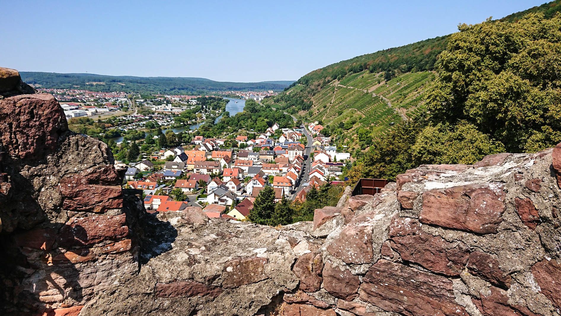
Franconian Red Wine Trail — From vineyards to the Main River

The Romantic Road – To the Pearls of Southern Germany
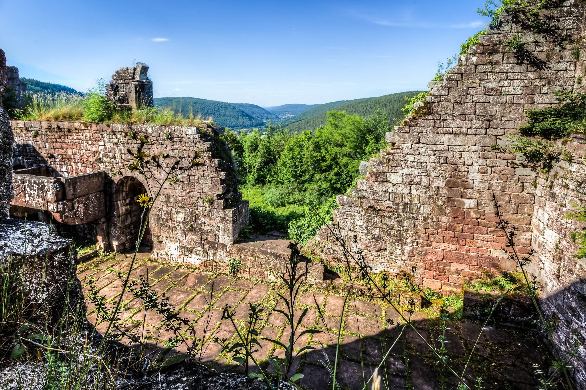
The Nibelungensteig in 7 stages – Simply legendary!
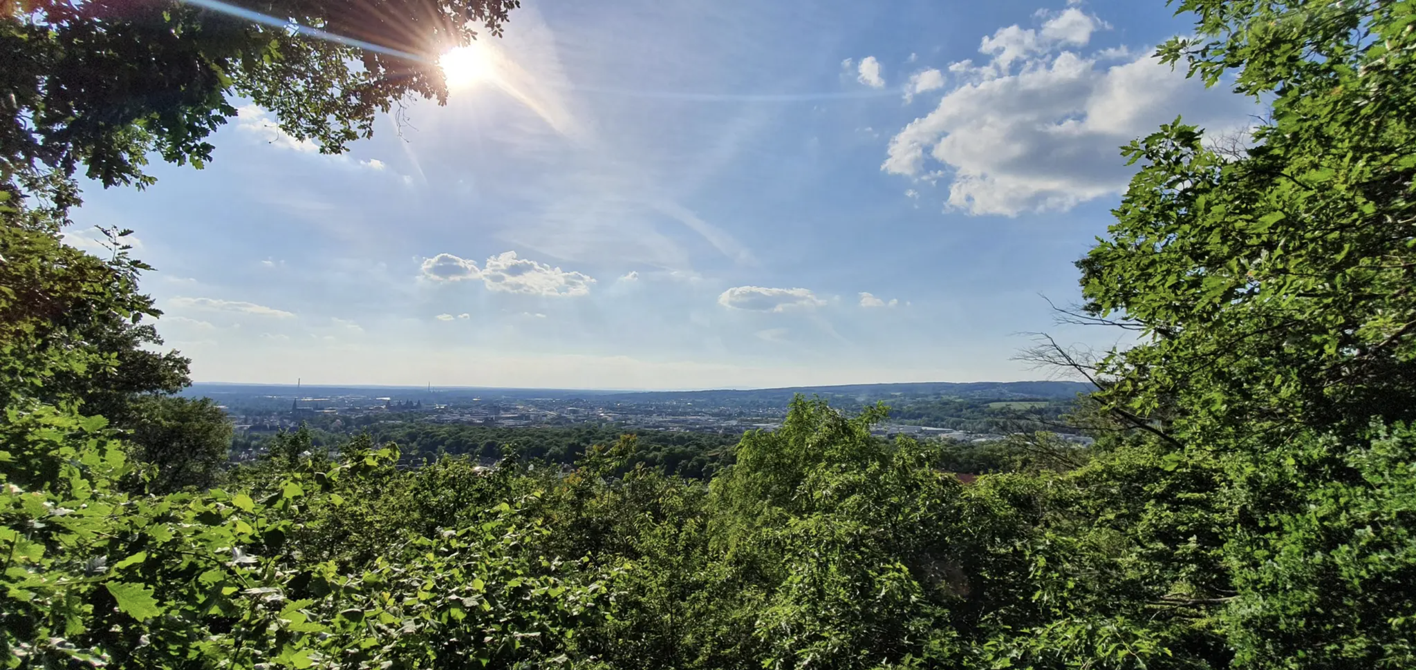
Germany's Spessart Trail – Free as a bird
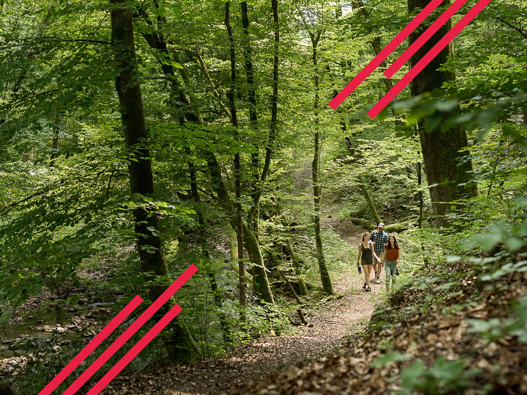
Relaxed hiking in the Spessart – short trails of discovery
Autumn views: to the most beautiful vantage points in the RMV area

The National Natural Landscapes in Bavaria
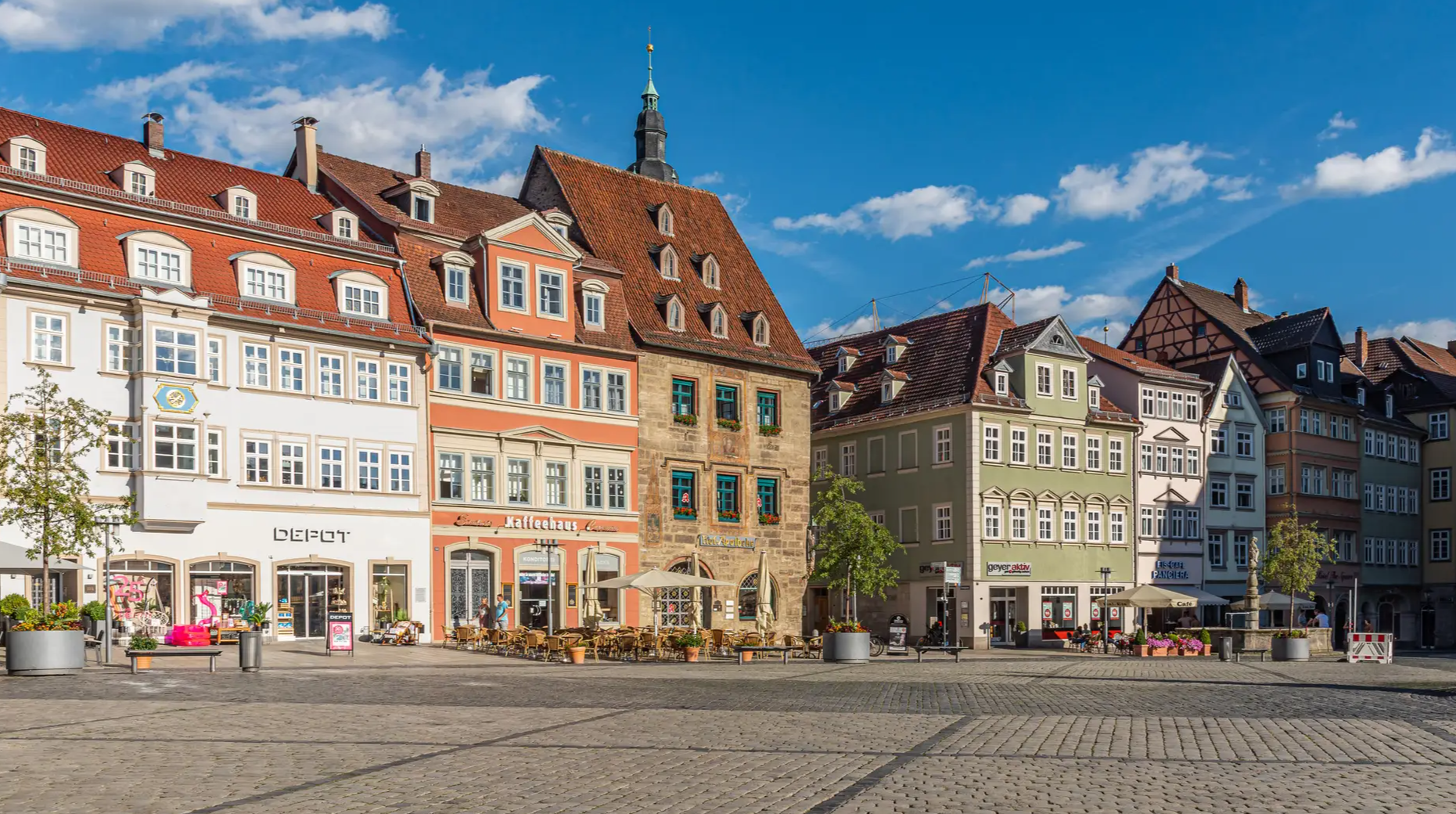
From the metropolis to enjoyment – city hiking on the VGN
Other adventures around the Main


Tips from the Community

It's always nice to let your gaze wander over the vineyards.
2
0

Beautiful paths, great views into the Maintal towards Ochsenfurt and Würzburg. Pure nature with the nostalgia of old quarries.
0
0

With a total length of around 1,233 kilometers, the Rhine is one of the longest, most historically significant, and economically important rivers in Europe. The river originates in the Swiss Alps, where it is formed from the two headwaters, the Vorder- and Hinterrhein. After flowing through Lake Constance, it plunges down at the Rhine Falls near Schaffhausen and then, as the High Rhine, forms the border between Switzerland and Germany. Further on, as the Upper Rhine, it flows through the Upper Rhine Plain past major cities such as Karlsruhe and Ludwigshafen, as well as directly past the region of Mainz and Wiesbaden. In this area, the river makes a sharp turn west at the so-called "Rhine Knee" (Rheinknie) before reaching the spectacular Middle Rhine. This section between Bingen and Koblenz – known as the Upper Middle Rhine Valley (Obere Mittelrheintal) – has been protected as a UNESCO World Heritage site since 2002 due to its density of castles, historic vineyards, and the legend of the Loreley rock. Via the Lower Rhine (Niederrhein) and the metropolitan regions of Cologne and Düsseldorf, the Rhine finally continues into the Netherlands. There it divides into a widely branched delta and finally flows into the North Sea near Rotterdam. As an international waterway, the Rhine is the logistical backbone of Western Europe. It connects major industrial centers and seaports directly with the hinterland, and is used annually by tens of thousands of cargo ships for the transport of coal, ores, containers, and chemical goods. In addition to its industrial function, the Rhine Valley serves as a lifeline for tourism, as a rich source of energy through hydropower plants, and as a valuable natural and recreational area for millions of people.
8
0
Today's Theodor Heuss Bridge connects the Rhineland-Palatinate state capital Mainz with the Mainz-Kastel district of the Hessian state capital Wiesbaden across the Rhine.
19
0
The Schwanheim Dune was formed around 10,000 years ago as a result of the last Ice Age. The wind blew fine sand out of the Main Riverbed. But humans also contributed to this rarity by clearing the trees thousands of years later. Since plants take a long time to establish a foothold in the barren soil, the dune migrated. It wasn't until the end of the 19th century that it became "sedentary" and stranded at its current location west of Schwanheim. The typical plant community of an inland dune, the ecologically valuable silver grass meadow, developed on the quartz sand mixture. Among its representatives, in addition to the silver grass as a pioneer plant, are the common mustard and the sand thrift. Pines also thrive on the lean sand, whose bizarre growth is reminiscent of the vegetation of distant, inhospitable seashores. Rare animals, such as the golden oriole, have also found a home in the area, which has been designated a flora-fauna habitat since 2003. However, humans have also contributed to the preservation of some parts of this special habitat. Until the 1980s, sand was mined in the almost 60-hectare area. After the end of industrial exploitation, the pits filled with groundwater. This attracted many amphibians. The steep, unpaved slopes also provide a natural environment that would otherwise be untouched. has become rare in our latitudes. One of the issues in the designation of this unique nature reserve was its proximity to Frankfurt's residential areas. For many, a trip there was like a beach vacation on their doorstep. Some people were very unhappy with the extensive closure. But the idea of nature conservation prevailed. To guide visitors, the designers created a boardwalk. The plan, devised by the BUND (Friends of the Earth Germany) in western Frankfurt, has worked: the vast majority adhere to it and protect this unique habitat. Green Belt information pillars at selected locations along the path provide information about the special features of the sensitive flora and fauna.
0
0

The most beautiful Rhine bridge in the region!
10
0

Just right for a little break
0
0
Frequently Asked Questions
How many hiking trails accessible from bus stations are there around the Main?
There are over 6,400 hiking trails around the Main that are accessible from bus stations, offering a wide variety of options for all skill levels.
Are there easy hiking trails accessible by bus around the Main?
Yes, the Main region offers a significant number of easy hiking trails accessible by bus. Over 4,100 routes are classified as easy, making them suitable for casual walkers or those looking for a relaxed outing. An example is the Wine and Victoria – Riesling Loop, which is an easy 7.7 km hike.
Can I find circular hiking routes starting from a bus station in the Main region?
Absolutely. Many trails accessible from bus stations in the Main region are designed as circular routes, allowing you to start and end your hike at the same point without needing to arrange return transport. The Aviary – Maaraue Peninsula loop from Akademie der Wissenschaften und der Literatur | Mainz is a great example of a moderate 10.5 km loop.
What kind of landscapes can I expect on bus station hikes along the Main?
Hikes along the Main River offer diverse landscapes, from picturesque vineyards and rolling hills to serene riverbanks and historic towns. You'll encounter charming villages, lush forests, and open fields, often with stunning views of the river itself. The region is known for its cultural heritage intertwined with natural beauty.
Are there family-friendly hiking trails accessible by bus around the Main?
Yes, many trails are suitable for families. Look for routes with lower elevation gain and shorter distances. The Randersacker Wine Trail, for instance, is an easy 5 km route that could be enjoyable for families.
Are dogs allowed on hiking trails accessible from bus stations in the Main region?
Generally, dogs are welcome on most hiking trails in the Main region, especially if kept on a leash. However, it's always advisable to check local regulations or specific trail signs, particularly in nature reserves or protected areas. Ensure you carry water for your dog and clean up after them.
What interesting sights or landmarks can I see on bus-accessible hikes along the Main?
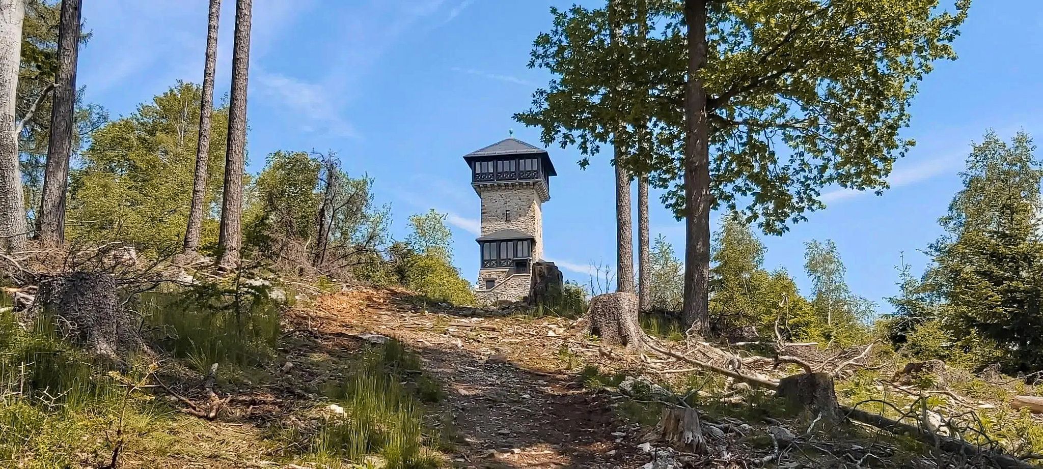
Many bus-accessible hikes offer opportunities to explore historical and natural landmarks. You might encounter sights like the Seligenstadt Abbey, the riverside and the ferry, the Volkach Market Square and Fountain, or the Old Main Bridge Kitzingen. For panoramic views, consider routes near the Observation tower on the Schlossberg in Klingenberg.
What is the best time of year to hike near bus stations in the Main region?
The Main region is beautiful for hiking throughout much of the year. Spring (April-May) offers blooming landscapes, while autumn (September-October) provides stunning fall foliage, especially in forested areas. Summer (June-August) is ideal for longer days, but can be warm. Winter hiking is possible, but some trails might be muddy or icy, and bus schedules could be reduced.
Are there any viewpoints accessible from bus station hikes around the Main?
Yes, the region offers several excellent viewpoints. Many trails lead to elevated spots providing sweeping vistas of the Main River valley, vineyards, and surrounding towns. For example, some routes offer a View of the Frankfurt skyline from the Main River cycle path, or you can find scenic spots like the Observation tower on the Schlossberg in Klingenberg.
What do other hikers enjoy most about hiking in the Main region?
The Main region is highly rated by the komoot community, with an average score of 4.5 stars. Reviewers often praise the well-maintained paths, the scenic variety of river views and vineyards, and the convenience of public transport access. The blend of natural beauty with cultural landmarks is frequently highlighted as a major draw.
Can I find moderate difficulty hikes accessible by bus?
Yes, there are over 2,000 moderate difficulty hikes accessible by bus. These routes often feature more varied terrain or slightly longer distances, offering a good challenge without being overly strenuous. The View of Sommerhausen – Sommerhausen Panorama Trail loop from Maintalhang Kleinochsenfurter Berg is a moderate 9.8 km hike.
Most popular routes around the Main
Most popular attractions around the Main

Get inspired with the komoot mobile app


Explore more
Browse the best Hikes in other regions.
