The best hikes from bus stations in Grosseto
4.4
(5869)
28,891
hikers
137
hikes
Bus station hiking trails in Grosseto offer access to a diverse landscape in the Tuscan Maremma, characterized by a mix of coastal areas, rolling hills, and significant wetlands. The region features the expansive Maremma Natural Park, which includes the Uccellina Mountains, Mediterranean scrub, and pristine beaches. Inland, hikers encounter picturesque rural hills dotted with vineyards and olive groves.
Best bus station hiking trails in Grosseto
- The most popular bus station hiking route is Pertuso Beach – Punta dei Faraglioni loop…
Last updated: August 21, 2026
4.7
(34)
198
hikers
Hard hike. Very good fitness required. Easily-accessible paths. Suitable for all skill levels.
4.7
(39)
187
hikers
3.42km
00:58
70m
70m
Easy hike. Great for any fitness level. Easily-accessible paths. Suitable for all skill levels.

Sign up for free
4.9
(50)
179
hikers
Hard hike. Very good fitness required. Easily-accessible paths. Suitable for all skill levels.
4.8
(25)
96
hikers
3.31km
01:02
130m
130m
Easy hike. Great for any fitness level. Easily-accessible paths. Suitable for all skill levels.
4.8
(21)
118
hikers
8.82km
03:24
450m
450m
Moderate hike. Good fitness required. Mostly accessible paths. Sure-footedness required.
Get access to more routes and recommendations from other explorers.
Sign up for free
Already have an account?
Our route recommendations are based on thousands of hikes, rides, and runs completed by other people on komoot.
Start today with a free account
Your next adventure awaits.
Login or Signup
Popular around Grosseto

Hikes from bus stations around Parco Naturale della Maremma

Hikes from bus stations around Riserva della Feniglia
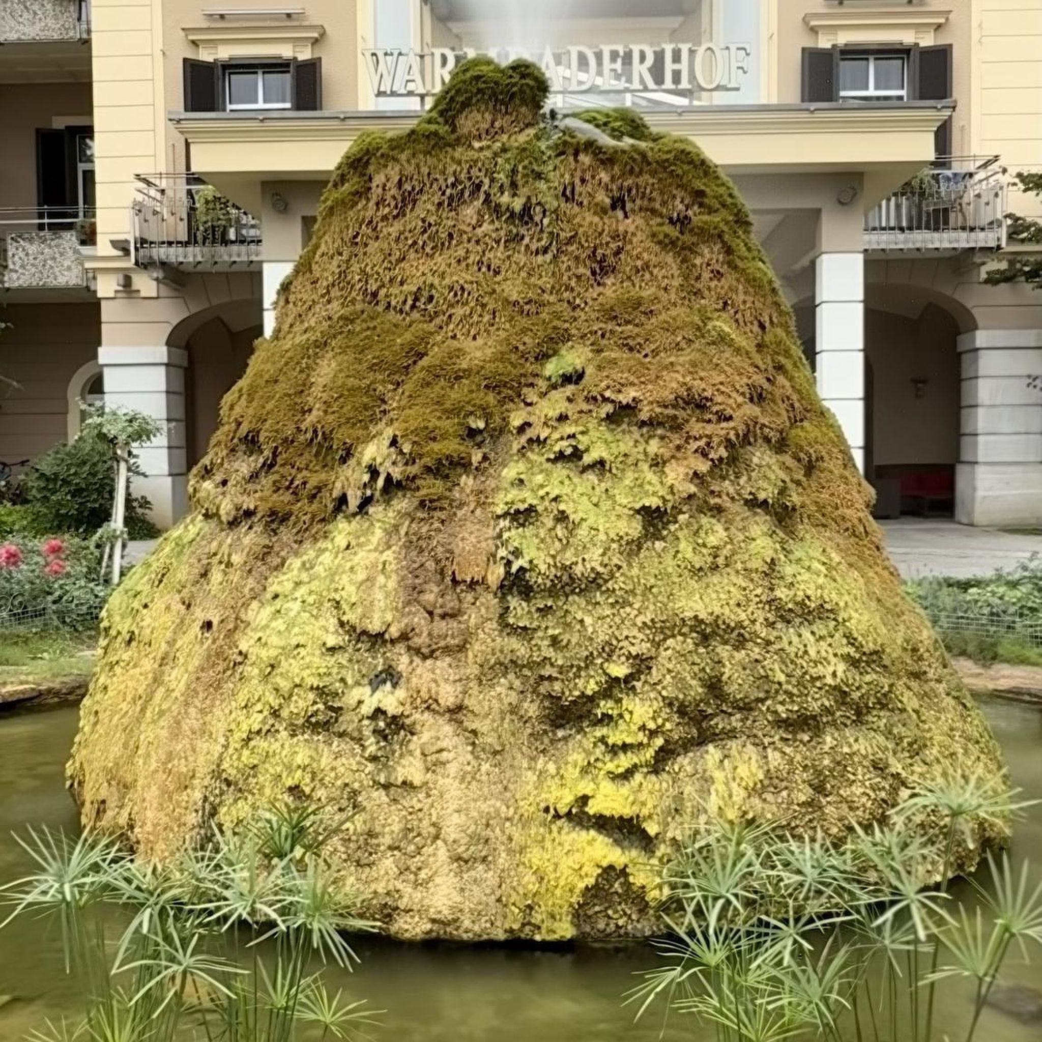
Hikes from bus stations around Riserva Naturale La Pietra
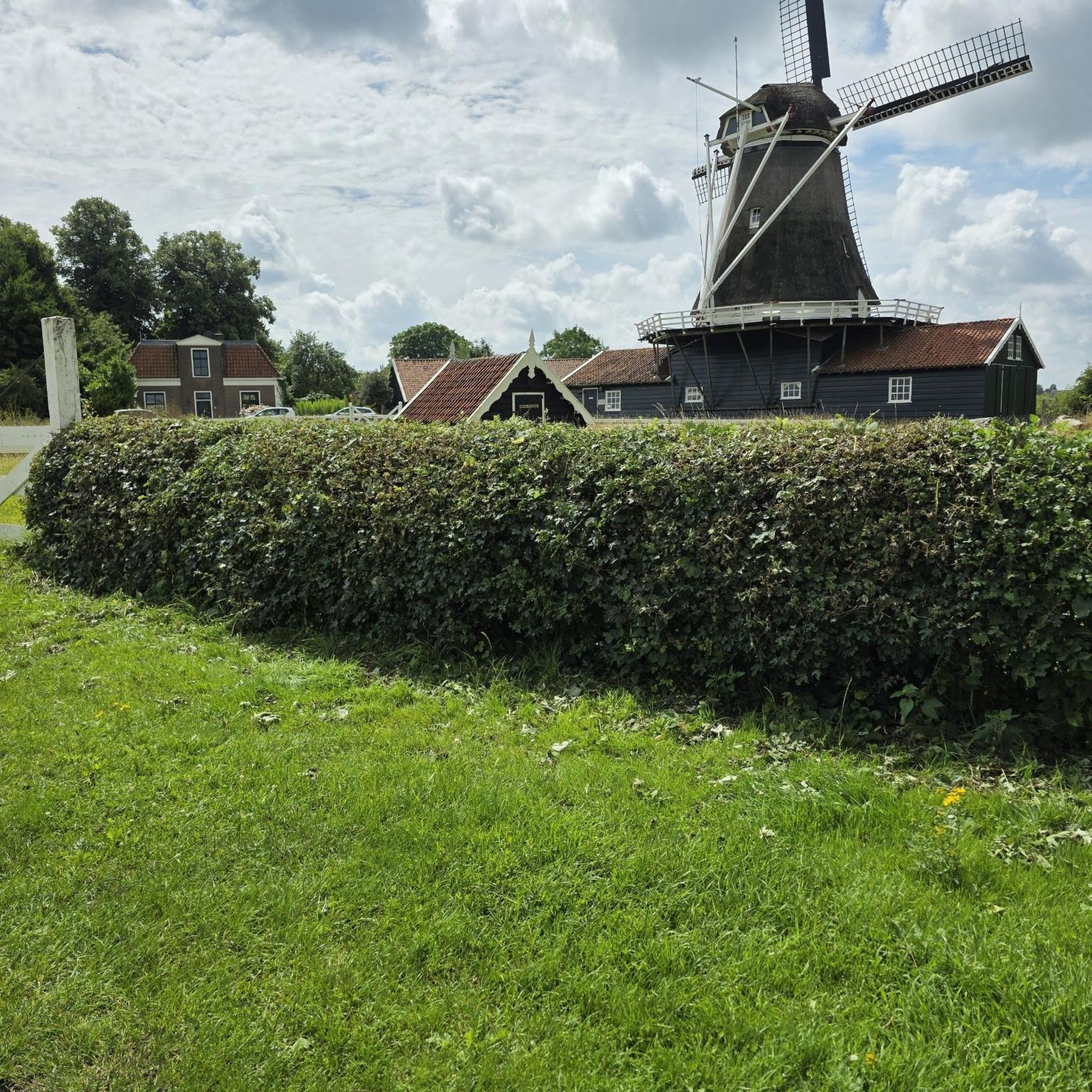
Hikes from bus stations around Nature Reserve Diaccia Botrona

Hikes from bus stations in Oasi Wwf Lagune Di Orbetello

Hikes from bus stations in Riserva Naturale Monte Labbro

Hikes from bus stations in Riserva Naturale Monte Penna

Hikes from bus stations in Riserva Naturale Pescinello

Hikes from bus stations in Riserva Naturale Poggio All'Olmo
Hikes from bus stations around Riserva naturale Bosco dei Rocconi
Other adventures in Grosseto


Tips from the Community

located in the Monti dell'Uccellina, in the heart of the Maremma Natural Park (Grosseto, Tuscany). Founded around the year 1000 as Santa Maria Alborense, the complex is immersed in the woods and is reachable via a challenging trekking route (route A1)
0
0
The Torre di Collelungo (Collelungo Tower) dominates the homonymous wild Collelungo Beach from the top of a promontory, located in the heart of the splendid Maremma Regional Park. This area offers one of the most intact, wild, and fascinating coastal panoramas in all of Tuscany.
0
0
The Torre di Castel Marino is an ancient coastal tower in the Maremma Natural Park. Built by the Aldobrandeschi in medieval times, it stands on a height of the Monti dell'Uccellina, overlooking the Granducale Pine Forest and the sea. It is reachable via the park's A2 hiking trail.
0
0

The Via Cava di San Rocco is one of the most impressive Etruscan paths in the area. The trail is entirely dug into the tuff, with vertical walls reaching up to 20 meters high, hosting lush vegetation of ferns and mosses. The route connects the Lente river valley with the plateau above. Along the ascent, you will encounter ancient water channeling systems and stairs carved into the rock. Once you reach the upper end, you arrive at the panoramic area of San Rocco, from which you can enjoy the most iconic view of the settlement of Sorano and the Orsini Fortress. The ground can be damp and slippery due to the cool microclimate of the walls.
0
0
Sorano is an ancient medieval village carved into the tuff, located in the heart of the hilly Maremma. The inhabited center is dominated by the imposing Fortezza Orsini, an example of Renaissance military architecture, and by the Masso Leopoldino, a natural fortified terrace offering a panoramic view of the entire Lente river valley. The village is characterized by a dense network of narrow alleys, stairways, and passages carved directly into the rock. Outside the inhabited area lies the archaeological park of the Vie Cave, a network of deep Etruscan paths carved into the tuff that connect the center with the surrounding necropolises.
1
0

The effort of the climb to get there is well worth it!
1
0
The climb to get there is worth the wonder of this abbey
1
0

Preferably by mountain bike or on foot, but definitely not with the rickety rental bikes!!!
1
0
Frequently Asked Questions
How many hiking trails are accessible from bus stations in Grosseto?
There are over 110 hiking trails in the Grosseto region that are conveniently accessible from bus stations, offering a wide variety of experiences for all skill levels.
Are there easy hiking options from bus stations in Grosseto suitable for beginners or families?
Yes, Grosseto offers many easy trails accessible by bus. With 34 routes rated as easy, you can find gentle walks perfect for beginners or families. For example, the Pertuso Beach – Punta dei Faraglioni loop from Isola del Giglio is an easy coastal option.
What kind of landscapes can I expect on bus-accessible hikes in Grosseto?
Hikes accessible from bus stations in Grosseto showcase the diverse Tuscan Maremma. You can explore coastal paths with stunning sea views, dense pine forests, Mediterranean scrub, and even wetlands. The Maremma Natural Park, a significant protected area, is often reachable by public transport and offers a mix of these landscapes.
Are there any circular hiking routes available from bus stations?
Yes, many routes are designed as circular loops, allowing you to start and end your hike at the same bus stop. Examples include the Port of Giglio – Sea View Rock loop from Giglio Porto or the Tree-Lined Avenue – Feniglia Birdwatching Trail loop from Porto Ercole.
What are some interesting natural attractions or viewpoints I can discover on these trails?
The region is rich in natural beauty. You can find stunning viewpoints overlooking the coast, such as those along the Uccellina Mountains within the Maremma Natural Park. For beautiful beaches, consider trails near Cala Violina or Cala Martina. The Duna Feniglia Pine Forest Trail offers a unique forest experience.
Can I bring my dog on bus-accessible hiking trails in Grosseto?
Many trails in the Grosseto region are dog-friendly, especially those in natural parks like the Maremma Natural Park, where dogs are generally permitted on a leash. Always check specific park regulations or route descriptions for any restrictions before heading out with your furry companion.
What historical sites or landmarks can I visit while hiking near Grosseto bus stations?
Grosseto's trails often pass by historical treasures. You can explore ancient Etruscan and Roman sites, medieval villages like Sorano, or the ruins of San Rabano Abbey. The coastal watchtowers, such as those found on the Collelungo Beach – Collelungo Tower loop, also offer historical context and scenic views.
What is the best time of year to hike in Grosseto?
The best time to hike in Grosseto is typically during spring (April-May) and autumn (September-October) when the weather is mild and pleasant, and the landscapes are vibrant. Summer can be hot, especially for longer coastal or exposed routes, but early mornings or late afternoons can still be enjoyable.
Are there any challenging or difficult hikes accessible by bus in Grosseto?
Yes, for experienced hikers seeking a challenge, Grosseto offers 24 difficult routes accessible by bus. These often feature significant elevation changes and longer distances, such as the Sea View Rock – Port of Giglio loop from Isola del Giglio.
What do other hikers say about the bus station trails in Grosseto?
The hiking trails in Grosseto are highly regarded by the komoot community, with an average rating of 4.4 out of 5 stars. Hikers frequently praise the region's diverse scenery, from pristine beaches to historical sites, and the convenience of accessing these routes via public transport.
Can I find trails that lead to unique natural features like gorges or wetlands?
Absolutely. The Grosseto region is home to unique natural features. You can explore the fascinating Etruscan 'Vie Cave' (sunken roads) like Via Cava di San Giuseppe or Via Cava Madonna delle Grazie. The Diaccia Botrona Nature Reserve, accessible by bus, offers excellent opportunities for wetland exploration and birdwatching.
Most popular routes in Grosseto
Most popular attractions in Grosseto

Get inspired with the komoot mobile app


Didn’t find what you were looking for?
Check out more Hikes throughout Grosseto below and find the perfect route in your destination.
Explore more
Browse the best Hikes in other regions.
