The best hikes from bus stations in Galicia
4.5
(13602)
94,751
hikers
984
hikes
Hiking in Galicia offers diverse landscapes, from its rugged Atlantic coastline to lush inland forests and dramatic river canyons. The region is characterized by a varied terrain that includes coastal paths, rolling hills, and mountainous areas, providing a range of elevations for hikers. Numerous trails traverse ancient woodlands, follow river courses, and lead to historic lighthouses. This makes Galicia suitable for various hiking experiences, from gentle coastal walks to more challenging inland ascents.
Best bus station hiking trails in Galicia
- The most popular bus station hiking route is Black Stones Route – O Grove Peninsula, a 6.3 miles (10.2 km) trail that takes 2 hours 40 minutes to complete, offering coastal views along the O Grove Peninsula.
- Another top favourite among local hikers is Fisterra Lighthouse – Fisterra (Cape Finisterre) Lighthouse loop from Fisterra, a moderate 6.5 miles (10.5 km) path. This route provides panoramic views of the Atlantic from Cape Finisterre.
- Local hikers also love the Miño River Thermal Trail, a 6.9 miles (11.1 km) trail leading through the Miño River valley, often completed in about 2 hours 55 minutes.
- Hiking in Galicia is defined by rugged coastlines, dense Atlantic forests, and impressive river canyons. The network offers options for different ability levels, from easy strolls to more demanding routes.
- The routes in Galicia are highly rated by the komoot community with an average score of 4.5 stars from over 12,500 reviews. More than 88,000 hikers have used komoot to explore Galicia's varied terrain.
Last updated: June 28, 2026
4.5
(31)
111
hikers
10.2km
02:40
70m
80m
Moderate hike. Good fitness required. Mostly accessible paths. Sure-footedness required.
4.6
(341)
2,304
hikers
20.6km
05:55
500m
500m
Hard hike. Very good fitness required. Easily-accessible paths. Suitable for all skill levels.

Sign up for free
4.7
(316)
2,140
hikers
21.7km
06:11
510m
510m
Hard hike. Very good fitness required. Easily-accessible paths. Suitable for all skill levels.
4.4
(39)
149
hikers
11.1km
02:55
100m
100m
Moderate hike. Good fitness required. Easily-accessible paths. Suitable for all skill levels.
4.7
(244)
1,732
hikers
10.1km
02:56
260m
260m
Moderate hike. Good fitness required. Easily-accessible paths. Suitable for all skill levels.
Get access to more routes and recommendations from other explorers.
Sign up for free
Already have an account?
Our route recommendations are based on thousands of hikes, rides, and runs completed by other people on komoot.
Start today with a free account
Your next adventure awaits.
Login or Signup
Popular around Galicia
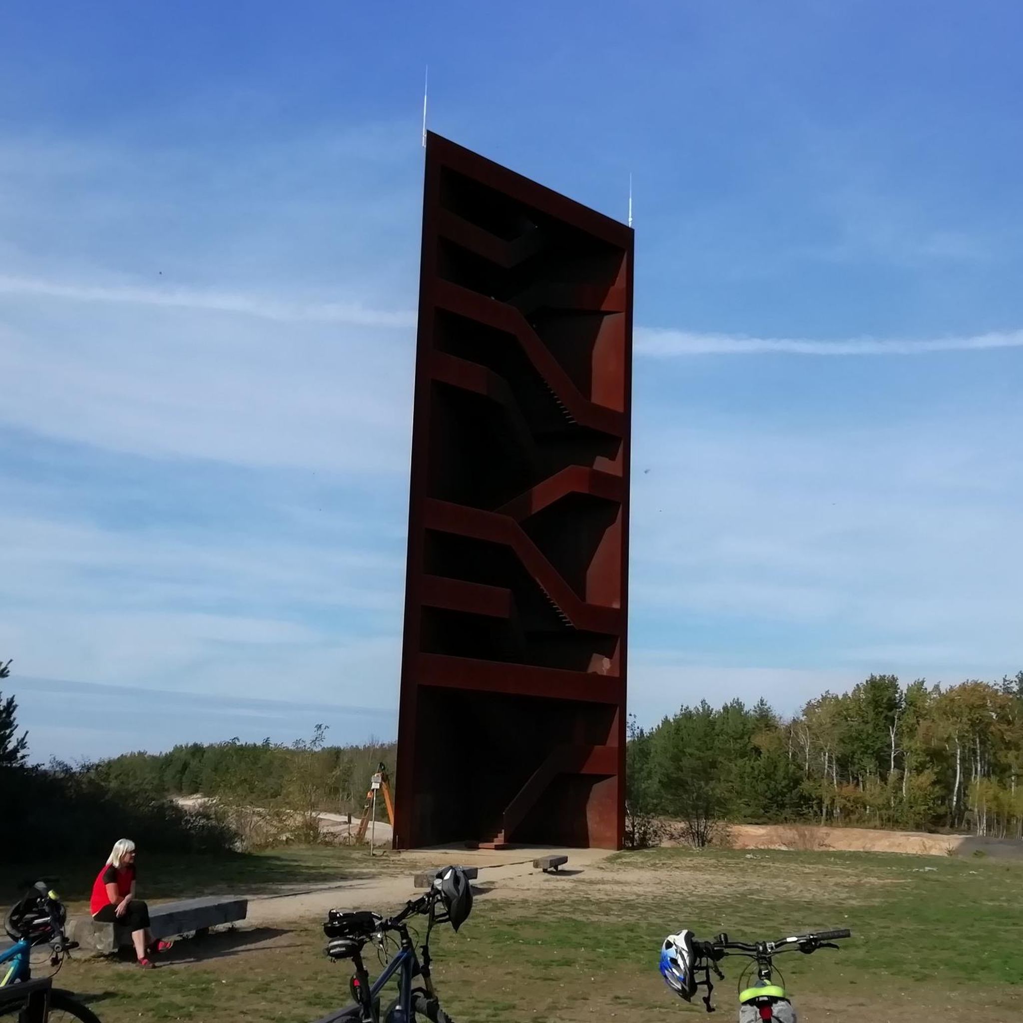
Hikes from bus stations in A Coruña

Hikes from bus stations in Pontevedra
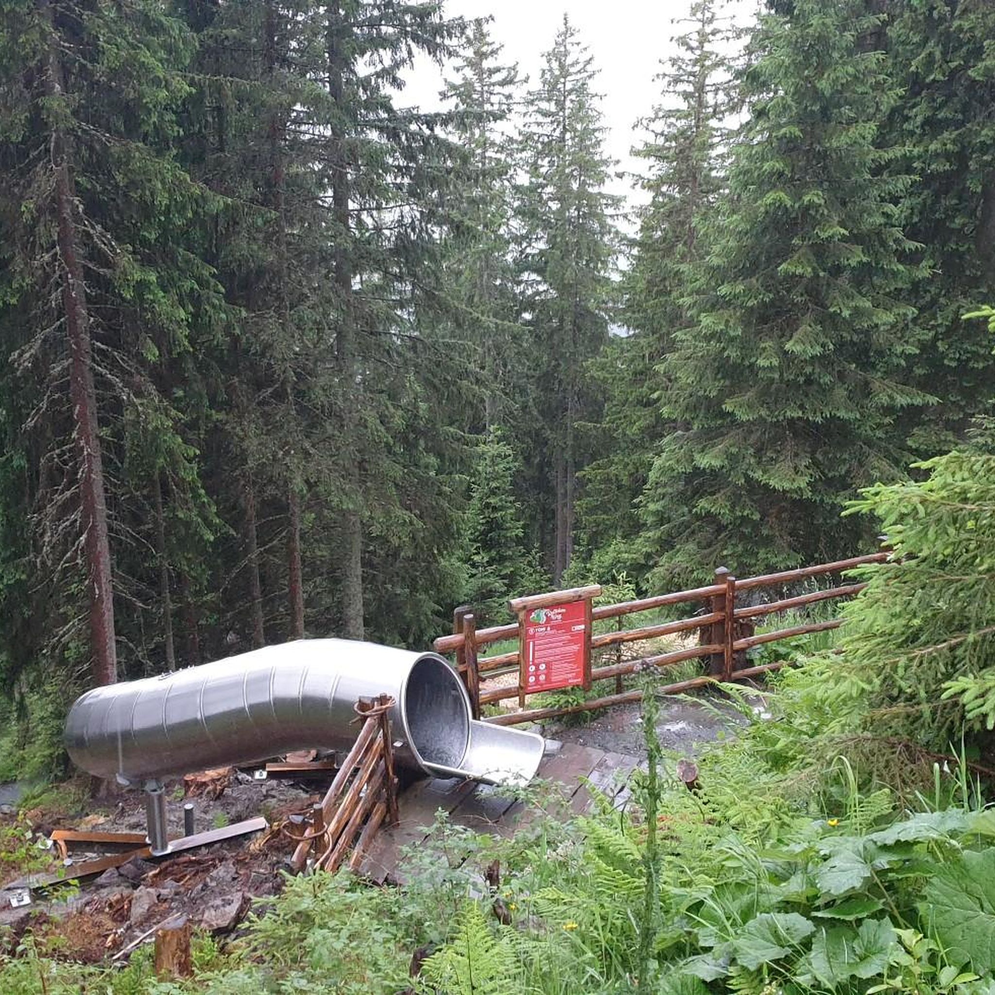
Hikes from bus stations in Lugo

Hikes from bus stations in Ourense
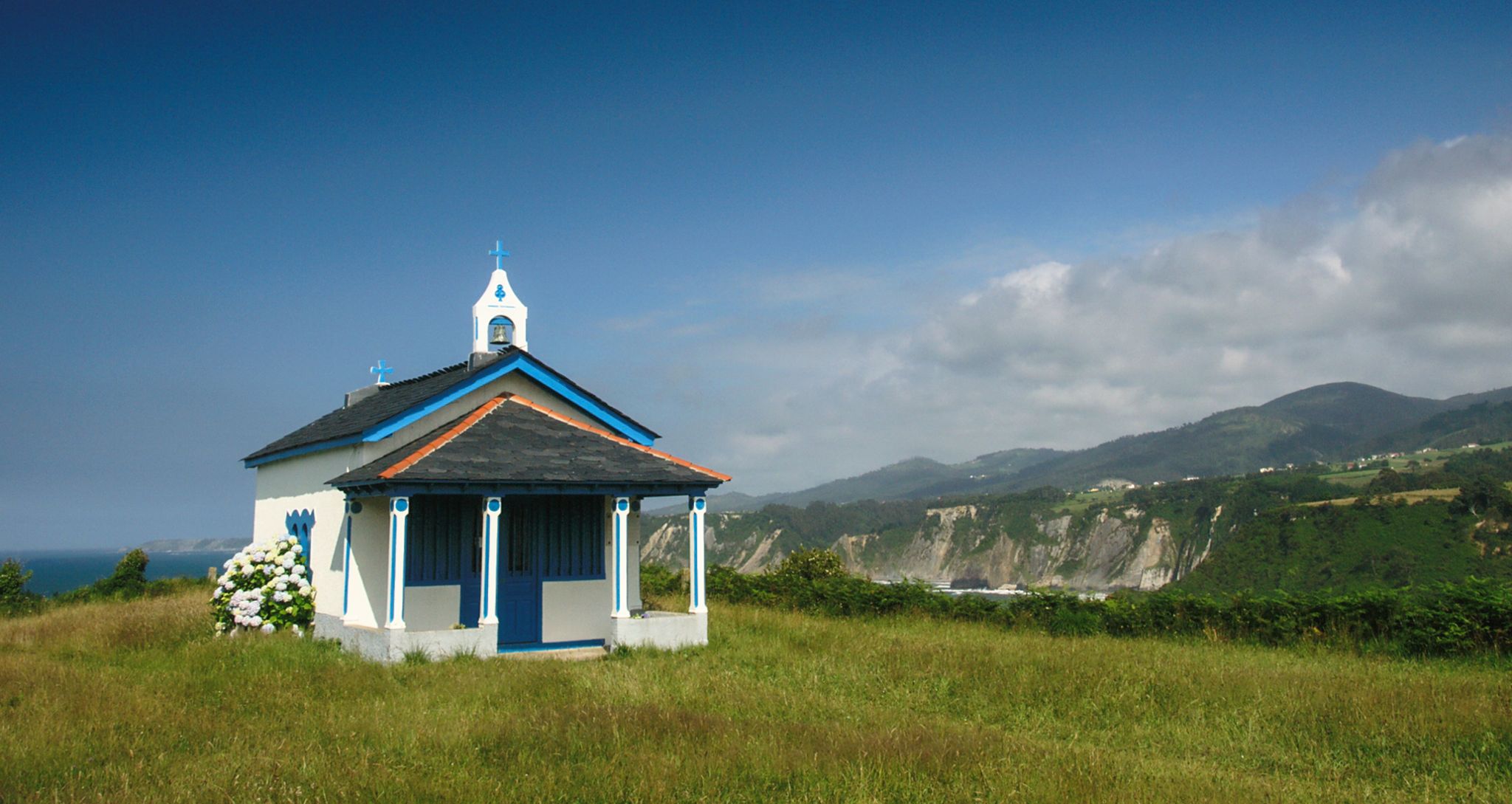
Camino del Norte – 15 stages
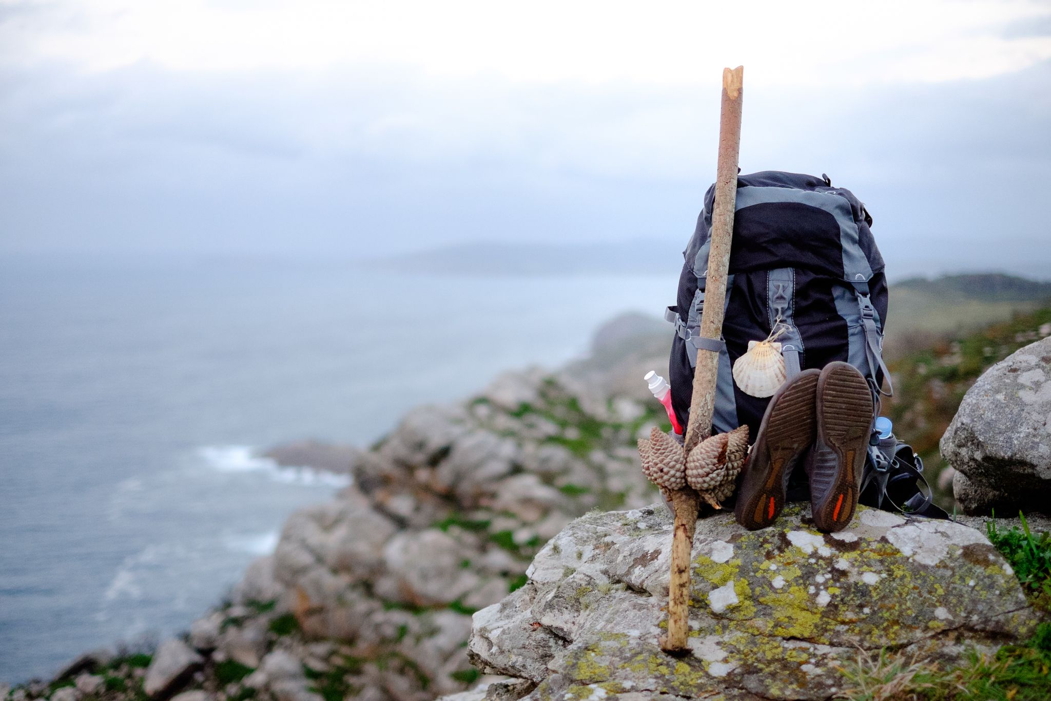
Way of St. James – 60 miles

12 hiking gems throughout Spain
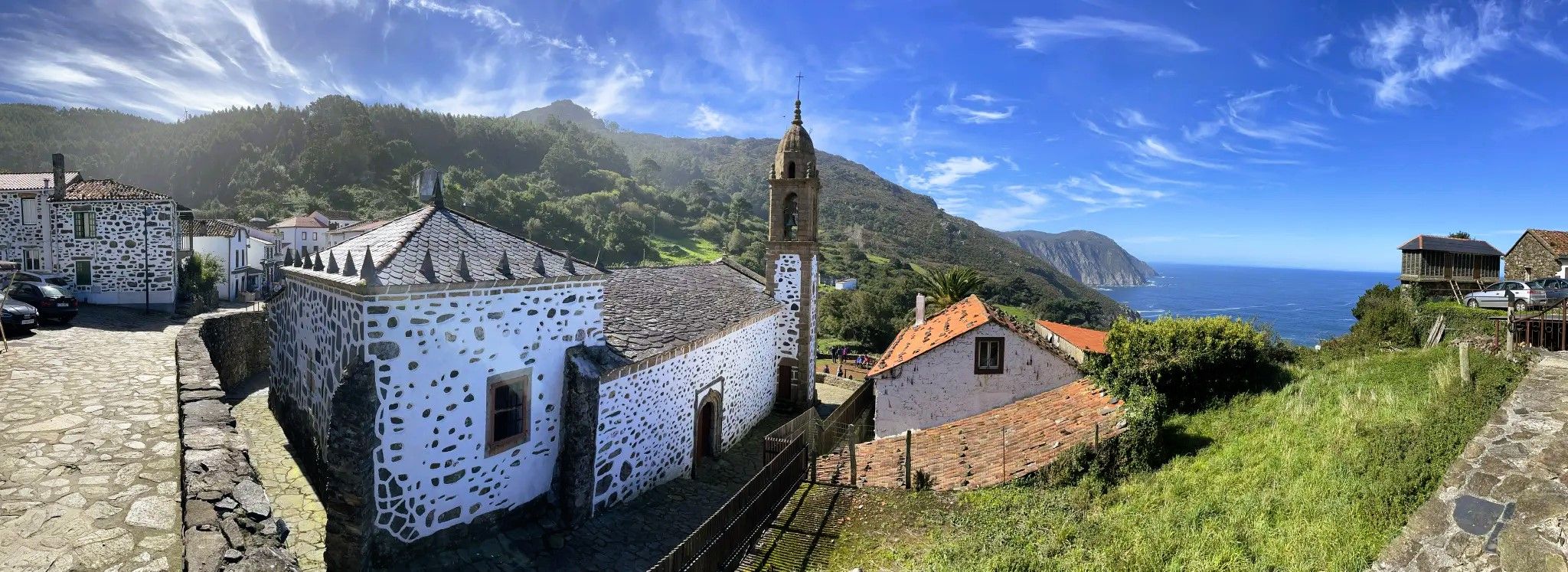
A journey through time – Camiño do Medievo (GR 55)
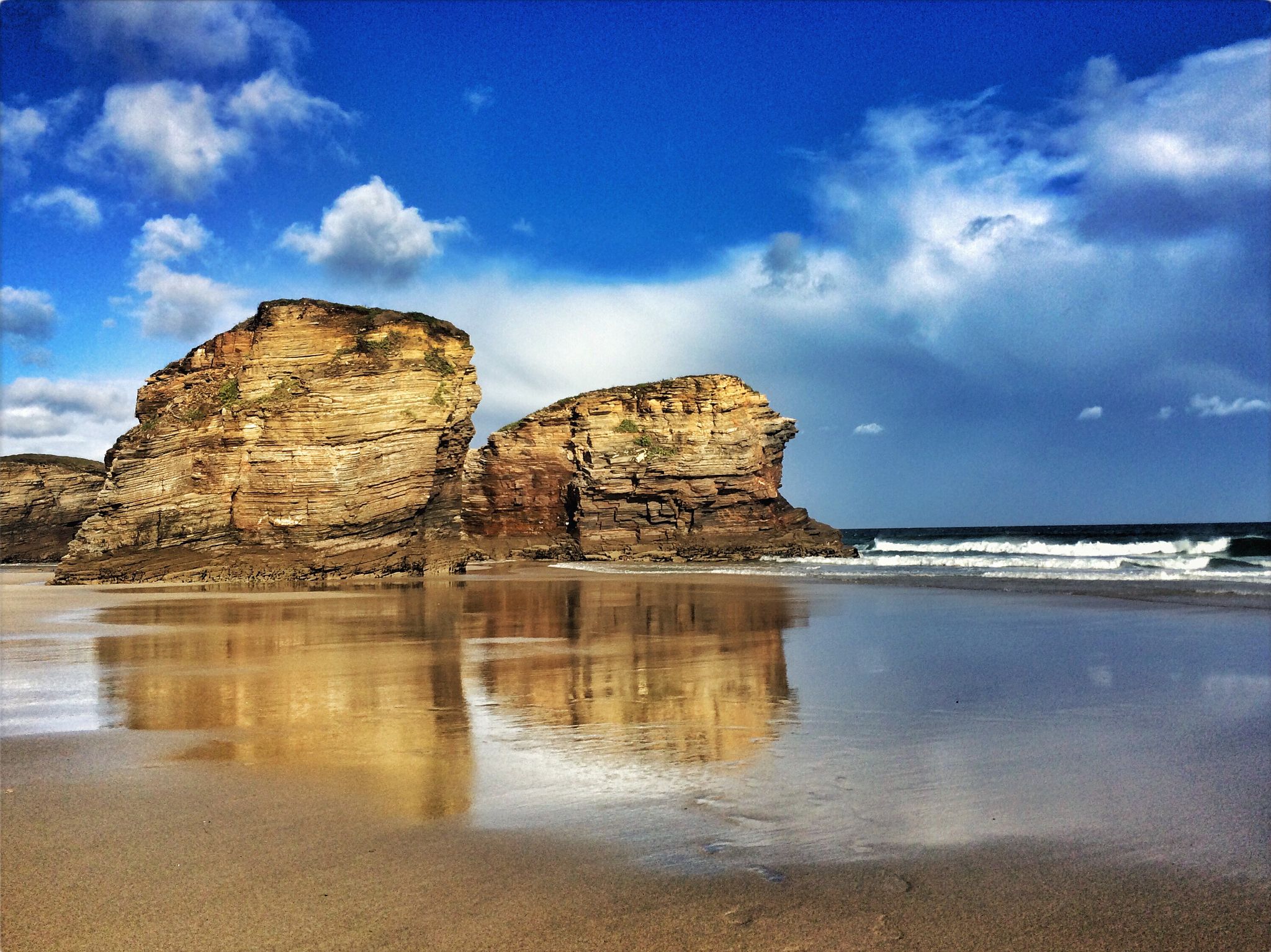
Along the Galician Coast - Camino Natural de la Ruta del Cantábrico
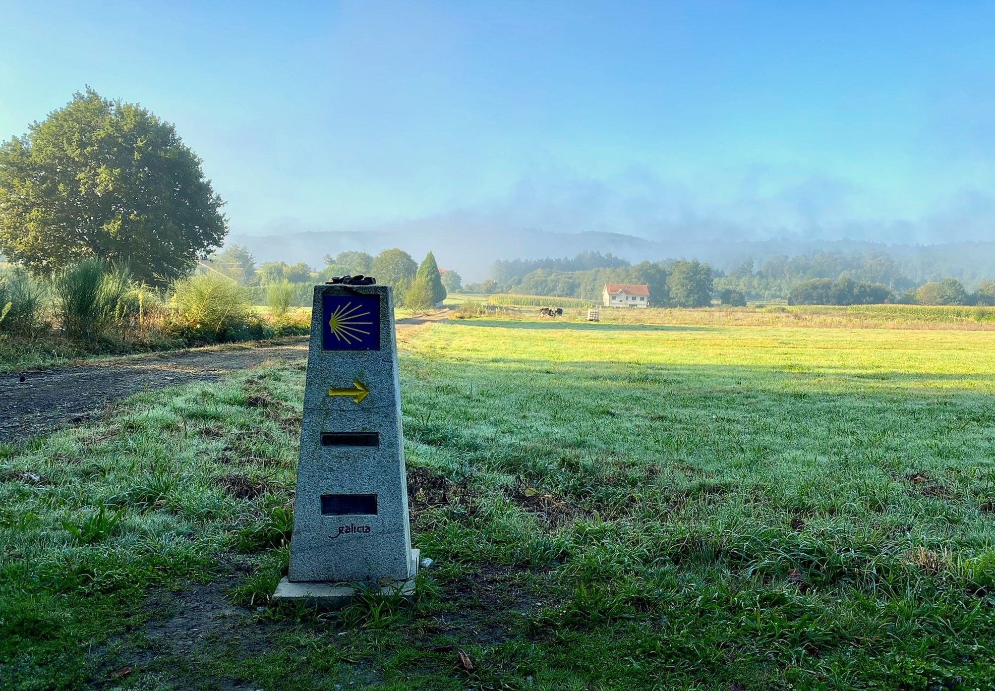
A pilgrimage on foot – Spain’s Primitive Way
Other adventures in Galicia


Tips from the Community

It spans the Miño River, linking the historic center of Ourense with the A Ponte neighborhood. It was built in the 1st century AD as a branch of the Via Nova (Via XVIII), connecting Bracara Augusta (Braga) with Asturica Augusta (Astorga). Only traces of the original Roman phase remain, such as rusticated stonework at the ends near the banks. It suffered damage during the Middle Ages; in 1228, under Bishop Lorenzo and with the support of Ferdinand III, it was rebuilt with pointed arches and renovated approaches. Until the 17th century, the bridge repeatedly collapsed. The final work was directed by Melchor de Velasco Agüero around 1660, establishing its current appearance.
1
0

Beautiful sculpture 🤙
0
0


Santa Maria des Areas. It is a beautiful church from the 12th century. The essential thing to know is that every day at 6 pm there is the Holy Mass of the pilgrim with a special and suggestive blessing.
5
0

Interesting rock formations, bizarre coastal landscape and a direct view of large cannons.
0
0
Great, extremely interesting path along various rock formations with wonderful views of the Atlantic.
0
0

Everything ends here, at the end of the world
7
1
Frequently Asked Questions
How many bus-accessible hiking trails are available in Galicia?
Galicia offers a vast network of bus-accessible hiking trails, with over 950 routes available. These range from easy strolls to more challenging treks, ensuring there's something for every hiker to explore the region's diverse landscapes.
Are there any easy, family-friendly bus station hikes in Galicia?
Yes, Galicia has numerous easy and family-friendly options accessible by bus. Many coastal paths and trails through natural parks offer gentle terrain and beautiful scenery. For example, the Black Stones Route – O Grove Peninsula is a moderate 10 km hike with minimal elevation gain, perfect for a family outing to enjoy the coastline.
What kind of natural features can I expect to see on bus-accessible hikes in Galicia?
Galicia's bus-accessible trails showcase a stunning variety of natural features. You can explore rugged coastlines with dramatic cliffs and wild beaches, lush Atlantic forests like those in Fragas do Eume Natural Park, and impressive river canyons such as the Sil Canyon. Many routes also feature beautiful waterfalls, including the Belelle River Waterfall and Fervenza do Toxa.
Are there any circular hiking routes that start and end at a bus station?
Yes, many bus-accessible routes in Galicia are circular, allowing you to return to your starting point without needing additional transport. An example is the Fisterra Lighthouse loop from Fisterra, a moderate 10.5 km route offering stunning coastal views and returning to the town of Fisterra, which is well-served by bus.
Can I find any hikes that feature historical landmarks or cultural sites?
Absolutely. Galicia's rich history is woven into its landscape. Many trails lead to ancient monasteries, Roman vestiges, and traditional villages. For instance, the Camino de Santiago routes, accessible by bus in various sections, offer a blend of hiking and cultural exploration. You can also find trails near historical sites like the Andrade Tower or the Castillo de San Antón, which are often close to bus stops.
What is the best time of year to go hiking from bus stations in Galicia?
The best time to hike in Galicia is generally during spring (April-June) and autumn (September-October) when the weather is mild and the landscapes are particularly vibrant. Summer can also be pleasant, especially along the coast, but be prepared for warmer temperatures. Winter hiking is possible, especially in lower elevations, but some mountain routes may experience snow.
Are there any bus-accessible trails with significant viewpoints or panoramic vistas?
Galicia is renowned for its breathtaking viewpoints. The Panoramic view of Vigo – View of Ponte de Rande loop from Chapela offers expansive views of Vigo and its estuary. Other areas like Monte Aloia Natural Park and the Sil Canyon also provide spectacular panoramic vistas, often accessible via trails from nearby bus stops.
What do other hikers enjoy most about bus-accessible trails in Galicia?
The komoot community highly rates the bus-accessible trails in Galicia, with an average score of 4.5 stars. Reviewers often praise the region's diverse and lush landscapes, the convenience of public transport access to trailheads, and the well-maintained paths that lead to stunning coastal views, ancient forests, and serene river canyons.
Are there any trails that pass by thermal springs or unique geological features?
Yes, you can find trails that incorporate unique natural features like thermal springs. The Miño River Thermal Trail is a moderate 11 km route that allows you to explore the area around the Miño River, known for its thermal waters, making for a unique hiking experience accessible by bus.
Can I find accommodation or cafes near bus station trailheads in Galicia?
Many bus-accessible trailheads in Galicia are located near towns or villages, offering convenient access to amenities. You'll often find cafes, restaurants, and various accommodation options, including traditional inns and hostels. For example, the El Alemán Hostel & Café and Paradavella Inn are examples of places where hikers can find refreshments or stay overnight near popular routes.
Are there any challenging bus-accessible hikes for experienced hikers?
For experienced hikers seeking a challenge, Galicia offers several difficult bus-accessible routes. The Roman Bridge of Furelos – Pilgrim Statue in O Coto loop from O Leboreiro is a demanding 22.8 km hike with significant elevation gain, providing a rewarding experience through varied terrain. Other challenging options can be found in mountainous areas like Pena Trevinca or Sierra de los Ancares, often with bus connections to nearby villages.
Most popular routes in Galicia
Most popular attractions in Galicia

Get inspired with the komoot mobile app


Didn’t find what you were looking for?
Check out more Hikes throughout Galicia below and find the perfect route in your destination.
Explore more
Browse the best Hikes in other regions.
