The best hikes from bus stations in Swabia
4.5
(92850)
440,923
hikers
13,517
hikes
Bus station hiking trails in Swabia offer access to a diverse landscape in southwestern Germany. The region features the low mountain range of the Swabian Alb, characterized by limestone ridges, juniper heaths, and deep valleys. The Allgäu area within Swabia provides alpine foothills, lush valleys, and clear lakes. This varied terrain includes rock formations, waterfalls, and extensive woodlands, making it suitable for a range of hiking experiences.
Best bus station hiking trails in Swabia
- The most popular bus station hiking…
Last updated: August 14, 2026
4.8
(1727)
7,409
hikers
5.98km
01:51
220m
220m
Easy hike. Great for any fitness level. Easily-accessible paths. Suitable for all skill levels.
4.7
(1225)
4,458
hikers
11.0km
03:00
150m
150m
Moderate hike. Good fitness required. Easily-accessible paths. Suitable for all skill levels.

Sign up for free
4.7
(899)
2,925
hikers
6.54km
01:54
150m
150m
Moderate hike. Great for any fitness level. Mostly accessible paths. Sure-footedness required.
4.7
(827)
2,693
hikers
6.50km
01:53
150m
150m
Moderate hike. Great for any fitness level. Mostly accessible paths. Sure-footedness required.
4.6
(548)
2,093
hikers
9.89km
03:21
440m
440m
Moderate hike. Good fitness required. Mostly accessible paths. Sure-footedness required.
Get access to more routes and recommendations from other explorers.
Sign up for free
Already have an account?
Our route recommendations are based on thousands of hikes, rides, and runs completed by other people on komoot.
Start today with a free account
Your next adventure awaits.
Login or Signup
Popular around Swabia
Hikes from bus stations in the Allgäu

Hikes from bus stations in Landkreis Augsburg
Hikes from bus stations in Landkreis Aichach-Friedberg
Hikes from bus stations around Günzburg

Hikes from bus stations in Landkreis Dillingen an der Donau

Augsburger Jakobsweg – Through Bavarian-Swabia
LechErlebnisWeg – multi-day Tour from Landsberg to Füssen

Ibex Tour extended – Crossing the Allgäu Alps
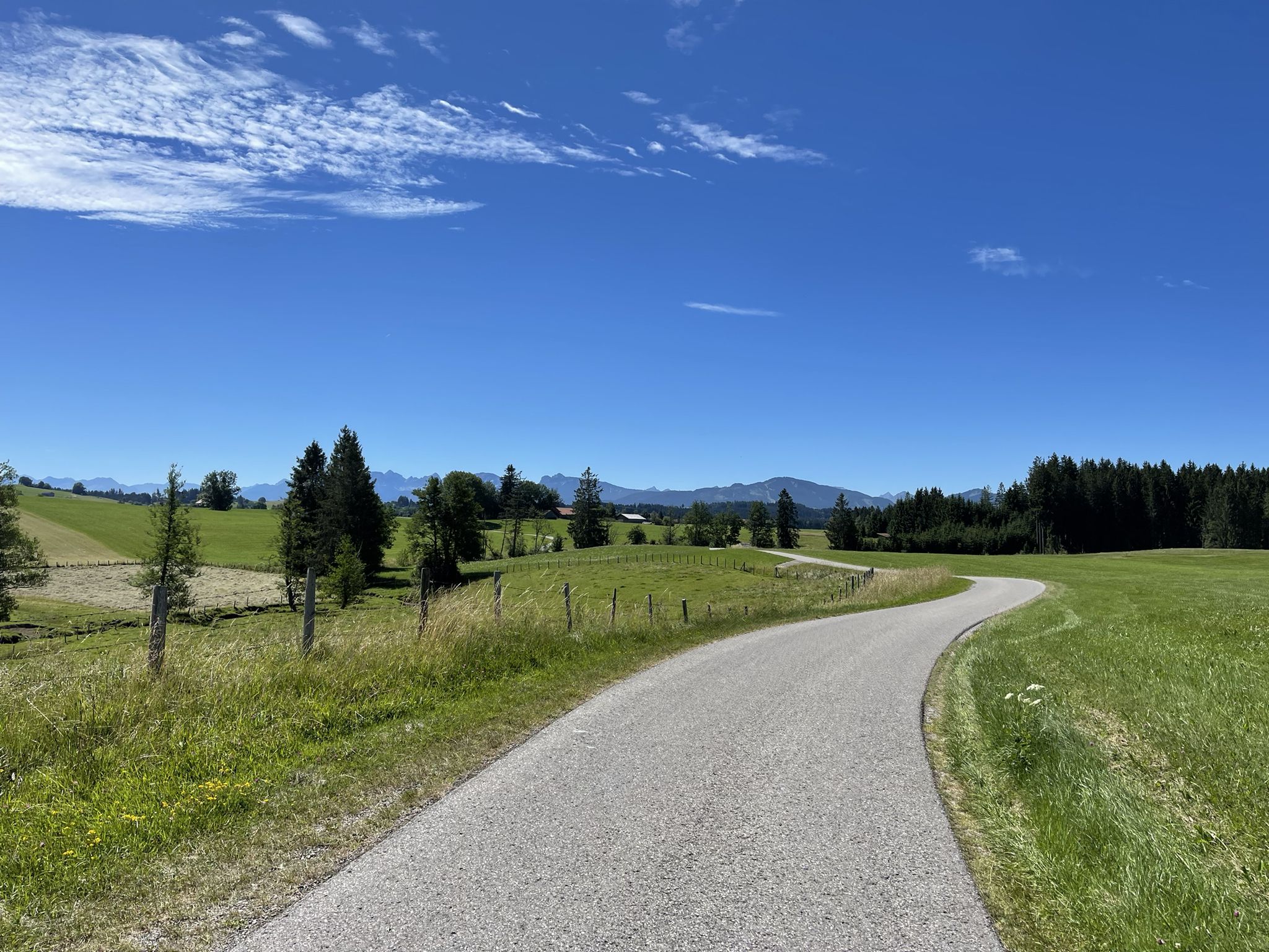
Hike from Augsburg to the Allgäu Alps

Maximilian Trail in Germany — Lake Constance to Königssee
Other adventures in Swabia


Tips from the Community

Great trail right along the shore
0
0

Beautiful view but mind the opening hours.
0
0
Great view of the mountains and the valley from here.
0
0

The Breitachklamm near Oberstdorf in the Allgäu region, with a depth of around 150 meters, is the deepest rocky gorge in Central Europe and has been officially named the "Natural Wonder of the Year 2025". The impressive geological site extends across the Tiefenbach district of Oberstdorf into the Austrian Kleinwalsertal valley. A well-secured, approximately 2.5-kilometer-long hiking trail leads directly past the roaring masses of water.
9
0

Alp unfortunately no longer managed since 2025😞🤷♂️ "The alp is currently closed! As of 2025. As soon as information about a reopening or new operators is available, it will be added." https://share.google/DBFrc8vvw9TNBsgme
1
0

From here you have a fantastic view into the Weißachtal valley. The Weißach river rises west of Immenstadt, flows in its upper course through the Ehrenschwanger Tal valley, turns towards Oberstaufen and continues to the Austrian border, where it finally flows into the Bregenzer Ach. On its way, the river has carved the Buchenegger Waterfalls into the Nagelfluh rock.
1
0
Alpe Neugreuth is located above Steibis, in the middle of the Allgäu landscape panorama. If you walk from Steibis to the Buchenegger waterfalls, it is worth stopping at the cozy guesthouse. Drinks, homemade cakes, and hearty snacks are available on the terrace. A special feature is the own herb garden, whose ingredients give the dishes a fine note.
1
1

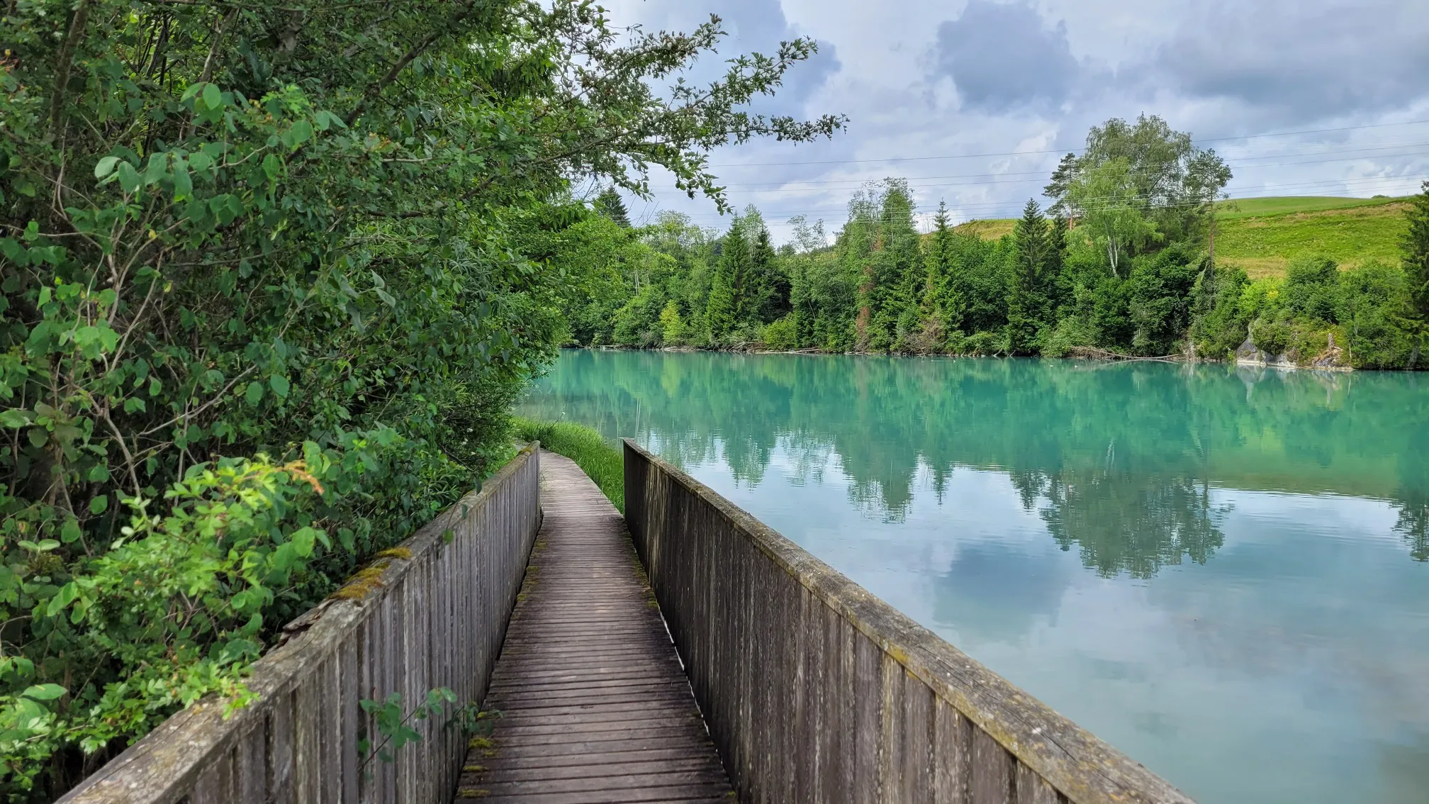
Wonderful path along the lake. Note that the path is intended for pedestrians.
0
0
Frequently Asked Questions
How many bus-accessible hiking trails are available in Swabia?
Swabia offers a vast network of hiking trails accessible by bus. Our guide features over 13,000 routes, ranging from easy strolls to challenging mountain ascents, all starting conveniently from bus stations. This makes exploring the region's diverse landscapes, from the Swabian Alb to the Allgäu, incredibly straightforward.
What kind of natural attractions can I expect to see on bus-accessible hikes in Swabia?
Swabia is rich in natural wonders. Many bus-accessible routes lead to spectacular gorges and waterfalls. For instance, you can explore the impressive Breitach Gorge, known as Europe's deepest rocky gorge, or visit the beautiful Buchenegger Waterfalls, where swimming is even possible in some areas. The region also boasts dramatic limestone cliffs, juniper heaths, and clear lakes like the Großer Alpsee.
Are there family-friendly hiking options from bus stations in Swabia?
Absolutely! Swabia offers numerous family-friendly hikes that are easily reachable by bus. Many routes are designed for leisurely walks, often featuring gentle terrain and interesting sights for all ages. For example, the trail to the Buchenegg waterfalls from Steibis is a moderate option that families often enjoy, offering a rewarding natural spectacle.
Can I find circular hiking routes that start and end at a bus station?
Yes, many of the bus-accessible trails in Swabia are circular routes, allowing you to start and finish your hike at the same bus stop without needing to arrange return transport. The region is known for its well-planned premium loop trails, such as the 'Traufgänge' on the Swabian Alb or the 'DonauWellen' in the Donaubergland, which offer diverse landscapes and stunning views. An example is the Ochsenberg Loop Trail.
What do other hikers say about the bus-accessible trails in Swabia?
The komoot community highly rates the hiking experience in Swabia, with an average score of 4.5 out of 5 stars from nearly 6,000 ratings. Hikers frequently praise the region's diverse landscapes, well-maintained paths, and the convenience of accessing trailheads directly from bus stations. The stunning views from the Albtrauf and the unique geological features are often highlighted as favorites.
Are there any historical or cultural landmarks accessible via bus station hikes?
Yes, Swabia's bus-accessible trails often combine natural beauty with rich history. You can find routes that pass by impressive castles and ruins, such as the iconic Neuschwanstein Castle or Hohenschwangau Castle, both of which offer magnificent views. The region also features charming historic towns, monasteries, and remnants of the Roman Limes, a UNESCO World Heritage Site.
What are some challenging bus-accessible hikes in the Swabian region?
For experienced hikers seeking a challenge, Swabia offers demanding routes with significant elevation gains, even from bus-accessible starting points. An example is the Two alpine pastures tour over the Ponten - Allgäu Alps, which covers nearly 14 km with over 1200 meters of ascent, providing a strenuous but rewarding experience with alpine views.
Are there any bus-accessible routes that feature lakes or water bodies?
Certainly! Swabia's landscape includes beautiful lakes and rivers, and several bus-accessible routes allow you to enjoy them. The Around the Großer Alpsee - Allgäu trail is a moderate hike that offers picturesque views of the lake and its surroundings, perfect for a scenic day out.
What is the best time of year to go hiking from bus stations in Swabia?
The best time to hike in Swabia largely depends on your preferences. Spring and autumn offer pleasant temperatures, vibrant colors, and fewer crowds, making them ideal for exploring the juniper heaths and forests. Summer is perfect for higher-altitude trails in the Allgäu or for enjoying waterfalls and lakes. While some trails are accessible in winter, especially in lower elevations, it's always advisable to check local conditions and bus schedules, as some routes or services might be limited.
Are there any specific bus-accessible routes that highlight the unique geology of Swabia?
Swabia, particularly the Swabian Alb, is a UNESCO Global Geopark, showcasing fascinating geological features. Many bus-accessible routes traverse areas with dramatic limestone formations, karst caves, and extinct volcanoes. The Roaring water in the Breitachklamm hike, for instance, takes you through one of Europe's deepest rocky gorges, offering a direct experience of the region's powerful geological forces.
Where can I find more information about the Swabian Alb's premium hiking trails?
The Swabian Alb is renowned for its certified premium and quality hiking routes, ensuring excellent signposting and a focus on natural paths. You can find more details about these high-quality trails, such as the Albsteig (HW1) or the 'Traufgänge', on official tourism websites. For general information on leading quality trails in the region, you can visit visit-bw.com.
Most popular routes in Swabia
Most popular attractions in Swabia

Get inspired with the komoot mobile app


Didn’t find what you were looking for?
Check out more Hikes throughout Swabia below and find the perfect route in your destination.
Explore more
Browse the best Hikes in other regions.
