The best hikes from bus stations in Landkreis Saalfeld-Rudolstadt
4.6
(14901)
50,146
hikers
1,477
hikes
Bus station hiking trails in Landkreis Saalfeld-Rudolstadt traverse a diverse landscape characterized by scenic river valleys, dense forests, and low mountain ranges. The region includes parts of the Thuringian Forest and the Thuringian Slate Mountains/Upper Saale Nature Park, offering varied terrain from tranquil riverside paths to more challenging routes. Geological formations and woodlands are prominent features, providing a rich environment for outdoor activities.
Best bus station hiking trails in Landkreis Saalfeld-Rudolstadt
- The most popular bus station hiking route is Urwaldpfad…
Last updated: July 11, 2026
4.6
(96)
274
hikers
7.09km
02:04
190m
190m
Moderate hike. Good fitness required. Mostly accessible paths. Sure-footedness required.
4.7
(121)
392
hikers
6.06km
01:41
110m
110m
Easy hike. Great for any fitness level. Easily-accessible paths. Suitable for all skill levels.

Sign up for free
4.8
(105)
308
hikers
11.1km
03:19
300m
300m
Moderate hike. Good fitness required. Mostly accessible paths. Sure-footedness required.
4.8
(121)
373
hikers
11.8km
03:29
330m
330m
Moderate hike. Good fitness required. Easily-accessible paths. Suitable for all skill levels.
4.9
(100)
311
hikers
13.2km
03:53
380m
380m
Moderate hike. Good fitness required. Easily-accessible paths. Suitable for all skill levels.
Get access to more routes and recommendations from other explorers.
Sign up for free
Already have an account?
Our route recommendations are based on thousands of hikes, rides, and runs completed by other people on komoot.
Start today with a free account
Your next adventure awaits.
Login or Signup
Popular around Landkreis Saalfeld-Rudolstadt

Hikes from bus stations around Rudolstadt

Hikes from bus stations around Bad Blankenburg

Hikes from bus stations around Unterwellenborn
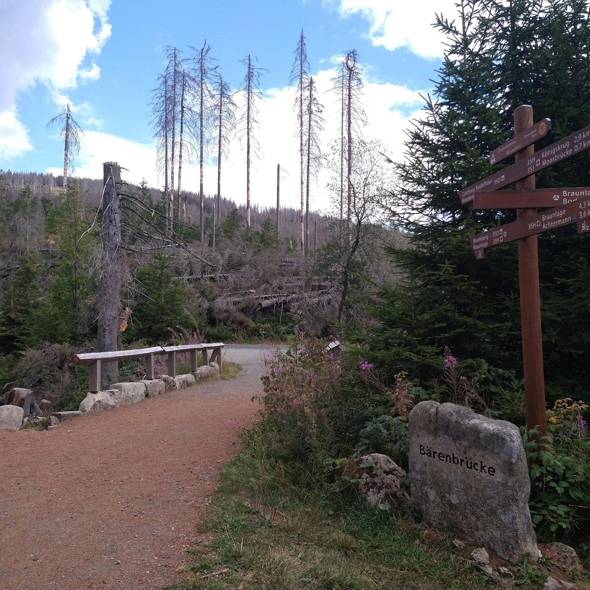
Hikes from bus stations around Saalfeld
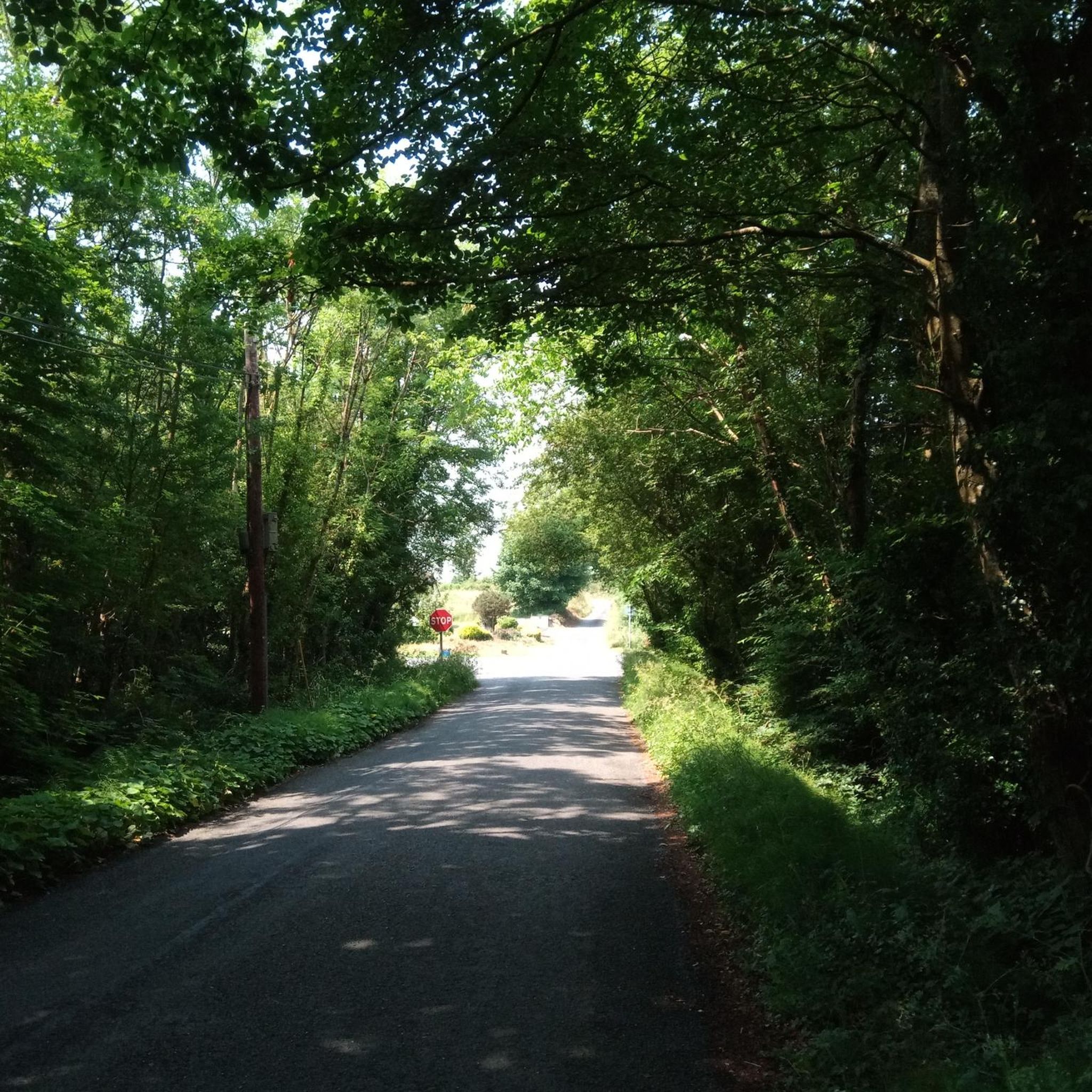
Hikes from bus stations around Uhlstädt-Kirchhasel
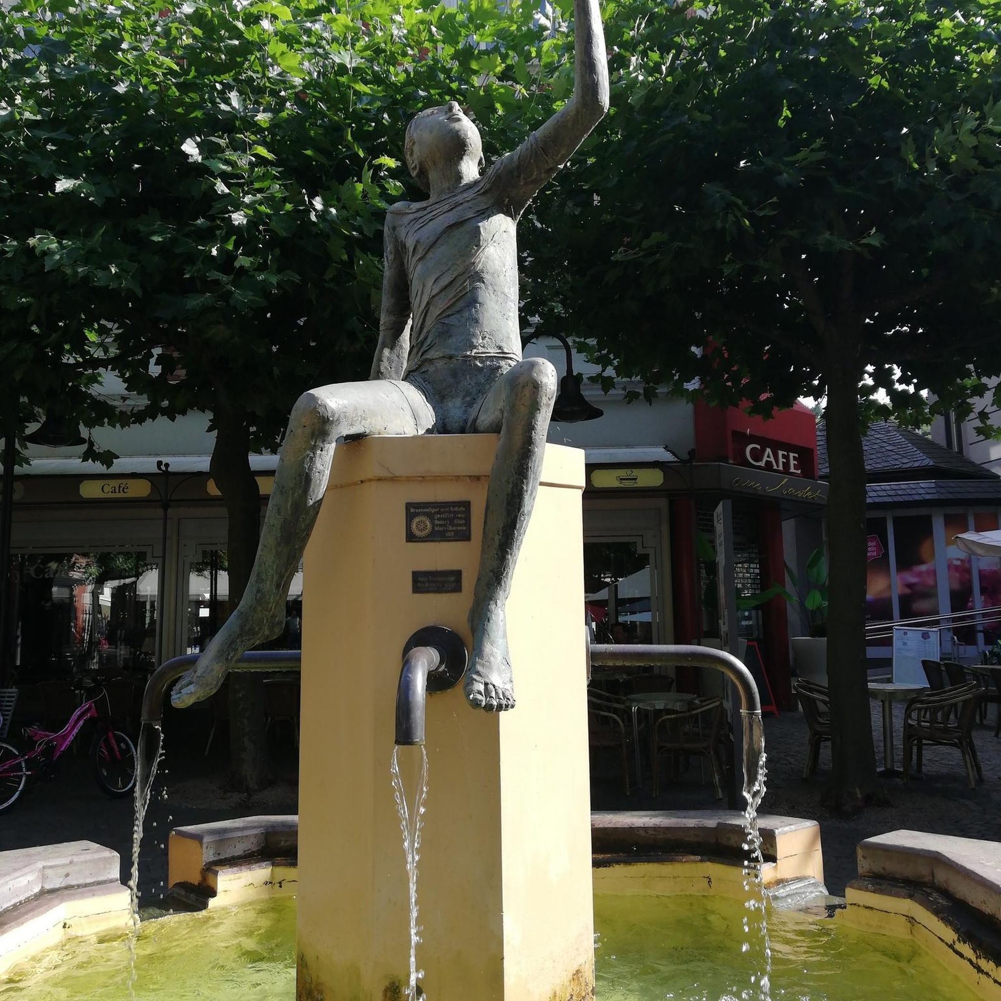
Hikes from bus stations around Schwarzatal
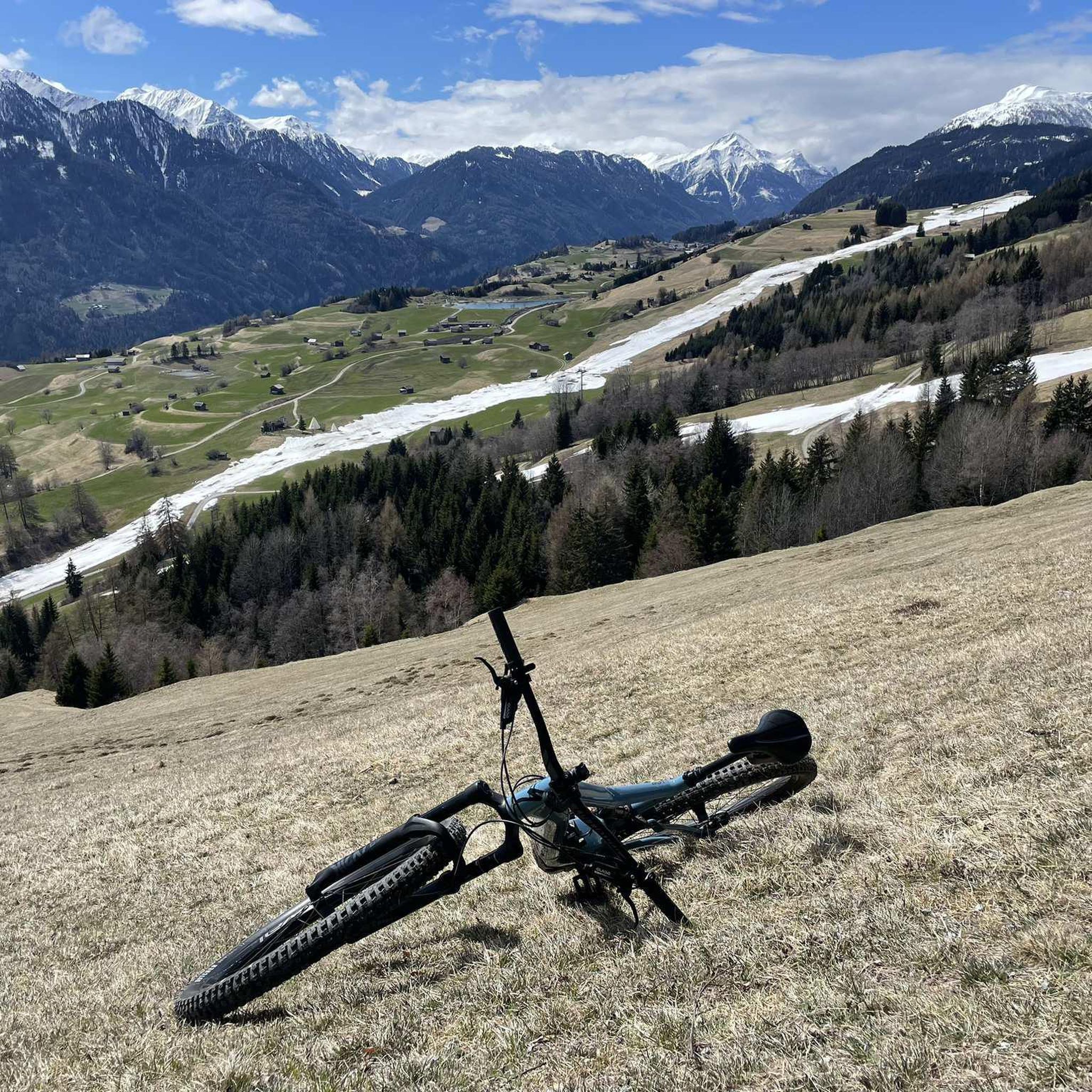
Hikes from bus stations around Saalfeld/Saale

Hikes from bus stations around Hohenwarte
Hikes from bus stations around Vorsperre Deesbach

Hikes from bus stations around Leutenberg
Other adventures in Landkreis Saalfeld-Rudolstadt


Tips from the Community

A great view
0
0

We were really excited about the hike. However, the many fallen trees made it less than perfect. But don't let that deter you. The route is truly beautiful.
2
0

Entrance and exit are on the right. A nice spot with benches for a break.
1
0

A vantage point, yes! Nice? If you like the view of industrial areas.
0
0

Beautiful hike, lots of views, even far into the Thuringian Forest, possibility to stop for refreshments halfway through the tour. Mostly forest paths, so varied, but only for sure-footed hikers.
1
0

After 1945 renamed Gustav Fehler (1878 - 1939) Höhe. He was fire chief of the Leutenberg volunteer fire department from 1920 - 1932.
10
0
Frequently Asked Questions
How many bus station hiking trails are available in Landkreis Saalfeld-Rudolstadt?
There are over 1,400 hiking trails accessible directly from bus stations in Landkreis Saalfeld-Rudolstadt. This extensive network offers a wide variety of routes, from easy strolls to more challenging excursions, ensuring there's something for every hiker.
Are there easy bus station hikes suitable for beginners or casual walkers?
Yes, a significant portion of the trails are considered easy, with over 670 routes designed for less strenuous activity. An excellent option is the View of Heidecksburg – Schillerhöhe Memorial loop from Rudolstadt, which offers gentle terrain and scenic views without demanding climbs.
What kind of landscapes can I expect on these bus-accessible hikes?
The bus-accessible hikes in Landkreis Saalfeld-Rudolstadt traverse diverse landscapes, including the picturesque Saale and Schwarza river valleys, dense woodlands of the Thuringian Forest, and parts of the Thuringian Slate Mountains. You'll encounter everything from tranquil riverside paths to impressive gorges and mystical forests.
Are there any circular routes accessible from bus stops?
Yes, many of the trails are designed as circular routes, allowing you to start and end your hike at the same bus stop. For example, the Meurasteine Rock Formation – View of the Leibis Dam loop from Meura offers a moderate circular hike with rewarding views.
Can I bring my dog on these bus station hiking trails?
Generally, dogs are welcome on the hiking trails in Landkreis Saalfeld-Rudolstadt. However, it's always advisable to keep them on a leash, especially in nature reserves, near wildlife, or when passing through populated areas. Please check local regulations for specific routes or protected areas.
What interesting landmarks or natural features can I see along the routes?
Many bus-accessible routes pass by notable landmarks and natural features. You might encounter historical sites like the Schillerhöhe Memorial, impressive geological formations such as the Lehesten Slate Quarry Industrial Heritage Site, or beautiful waterfalls like the Schwarza Waterfall (Schwarza Valley). The region is rich in viewpoints, including the Kulm Tower, offering panoramic vistas.
Are there any bus station hikes that lead to viewpoints?
Absolutely. Many routes are designed to showcase the region's scenic beauty. The Barop Tower – Fröbelblick Viewpoint loop from Bad Blankenburg is a great example, leading you to elevated spots with expansive views over the landscape.
What is the best time of year to go hiking from bus stations in this region?
The region is beautiful year-round, but spring (April-May) offers blooming flora and mild temperatures, while autumn (September-October) provides stunning fall foliage. Summer is ideal for longer days and warmer weather, though some trails can be busy. Winter hiking is possible, especially on cleared paths, but requires appropriate gear.
Are there any routes that explore the unique forests of the region?
Yes, the region is known for its dense woodlands. The Urwaldpfad Leutenberg – Thuringia's Primeval Forests of Tomorrow is an excellent choice for immersing yourself in the natural forest environment, offering a glimpse into the area's ecological significance.
What do other hikers say about the bus station trails in Landkreis Saalfeld-Rudolstadt?
The komoot community highly rates the hiking experience in Landkreis Saalfeld-Rudolstadt, with an average score of 4.6 stars. Hikers frequently praise the well-maintained paths, the diverse scenery ranging from river valleys to dense forests, and the convenience of accessing trails directly from public transport stops.
Are there any moderate bus station hikes with significant elevation changes?
For those seeking a bit more challenge, there are numerous moderate routes with noticeable elevation gains. The Volkstedt Weir – View of Heidecksburg loop from Rudolstadt, for instance, offers a moderate ascent and descent, providing a good workout while still being accessible by bus.
Most popular routes in Landkreis Saalfeld-Rudolstadt
Most popular attractions in Landkreis Saalfeld-Rudolstadt

Get inspired with the komoot mobile app


Didn’t find what you were looking for?
Check out more Hikes throughout Landkreis Saalfeld-Rudolstadt below and find the perfect route in your destination.
Explore more
Browse the best Hikes in other regions.
