The best running trails in Landkreis Saalfeld-Rudolstadt
4.5
(486)
4,711
runners
403
runs
Jogging in Landkreis Saalfeld-Rudolstadt offers diverse landscapes, from the extensive woodlands of the Thuringian Forest to the scenic Saale River valley. The region is characterized by its hilly, thickly forested terrain, providing varying elevations for different running experiences. Paths along the Saale River offer flatter, well-maintained surfaces, while routes through areas like the Schwarza Valley present more challenging ascents.
Best jogging routes in Landkreis Saalfeld-Rudolstadt
- The most popular jogging route is View of Kulm – Preilipper Kuppe Viewpoint loop from…
Last updated: September 2, 2026
4.6
(39)
287
runners
Moderate run. Good fitness required. Mostly paved surfaces. Suitable for all skill levels.
4.3
(3)
67
runners
10.5km
01:06
60m
60m
Moderate run. Good fitness required. Mostly paved surfaces. Suitable for all skill levels.

Sign up for free
4.6
(8)
84
runners
5.18km
00:32
30m
30m
Moderate run. Good fitness required. Mostly paved surfaces. Suitable for all skill levels.
5.0
(2)
69
runners
Hard run. Very good fitness required. Sure-footedness, sturdy shoes and alpine experience required.
4.8
(6)
111
runners
Hard run. Very good fitness required. Sure-footedness, sturdy shoes and alpine experience required.
4.7
(3)
65
runners
10.00km
01:04
70m
70m
Moderate run. Good fitness required. Mostly paved surfaces. Suitable for all skill levels.
5.0
(2)
53
runners
18.7km
02:08
450m
450m
Hard run. Very good fitness required. Sure-footedness, sturdy shoes and alpine experience required.
5.0
(1)
56
runners
9.45km
01:06
210m
210m
Moderate run. Good fitness required. Mostly paved surfaces. Suitable for all skill levels.
5.0
(2)
39
runners
Hard run. Very good fitness required. Sure-footedness, sturdy shoes and alpine experience required.
4.5
(2)
49
runners
Moderate run. Good fitness required. Mostly paved surfaces. Suitable for all skill levels.
Get access to more routes and recommendations from other explorers.
Sign up for free
Already have an account?
Our route recommendations are based on thousands of hikes, rides, and runs completed by other people on komoot.
Start today with a free account
Your next adventure awaits.
Login or Signup
Popular around Landkreis Saalfeld-Rudolstadt
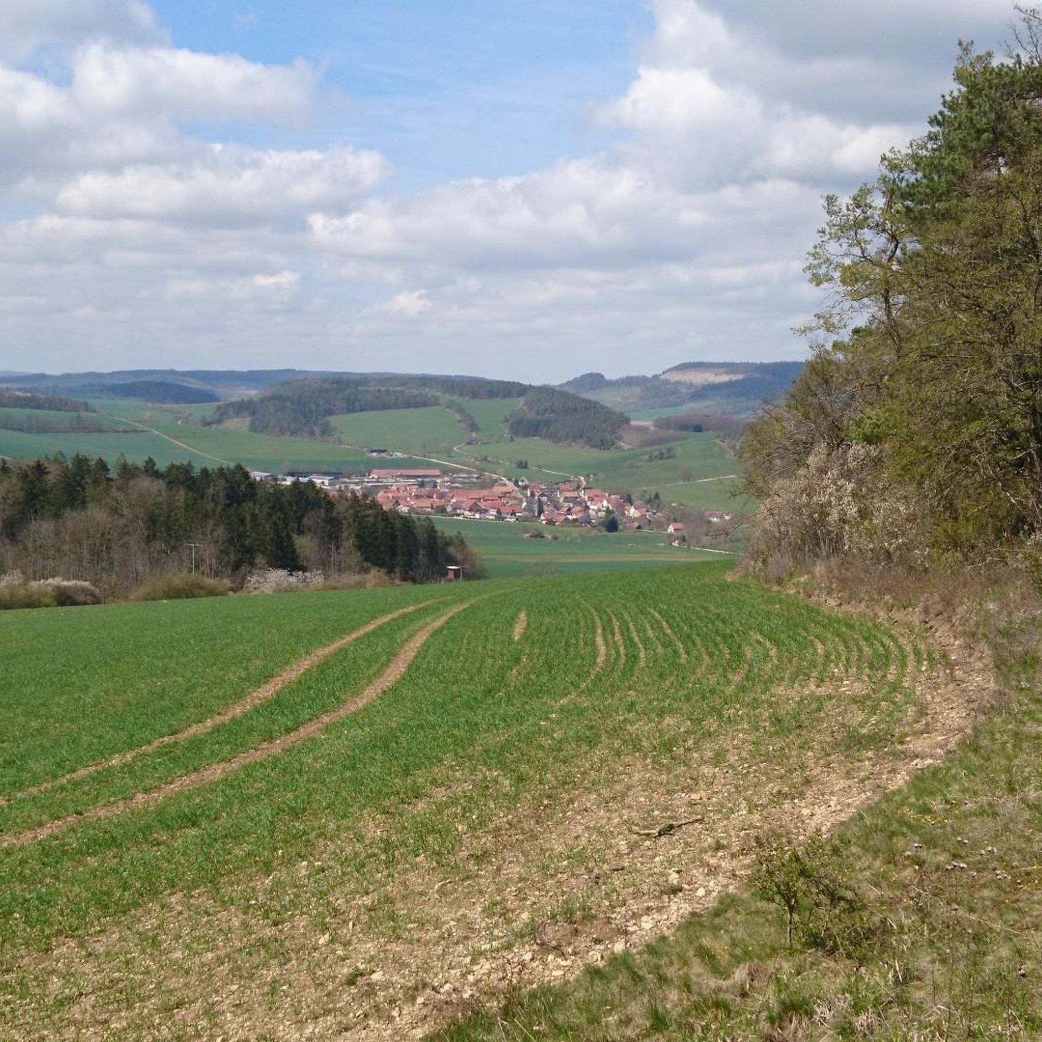
Running Trails around Rudolstadt
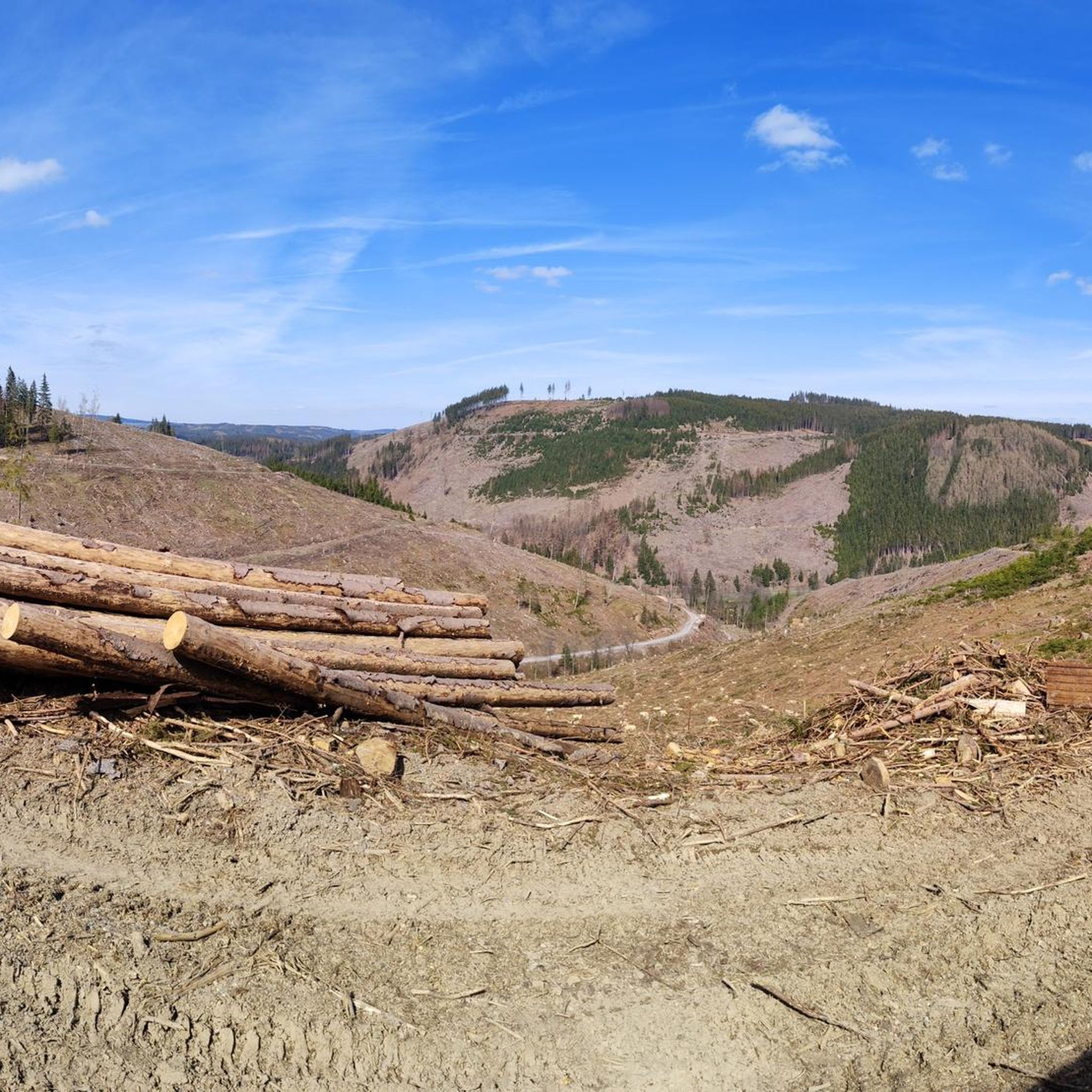
Running Trails around Katzhütte
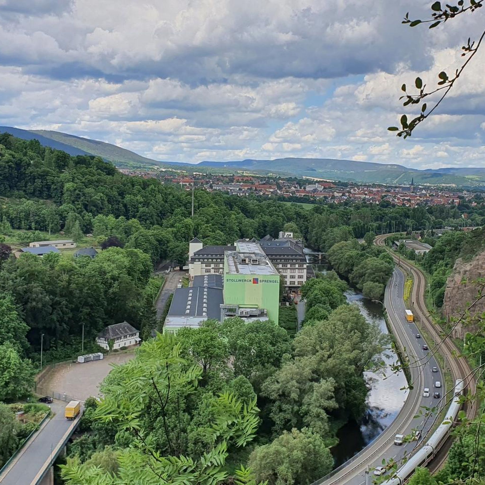
Running Trails around Saalfeld/Saale
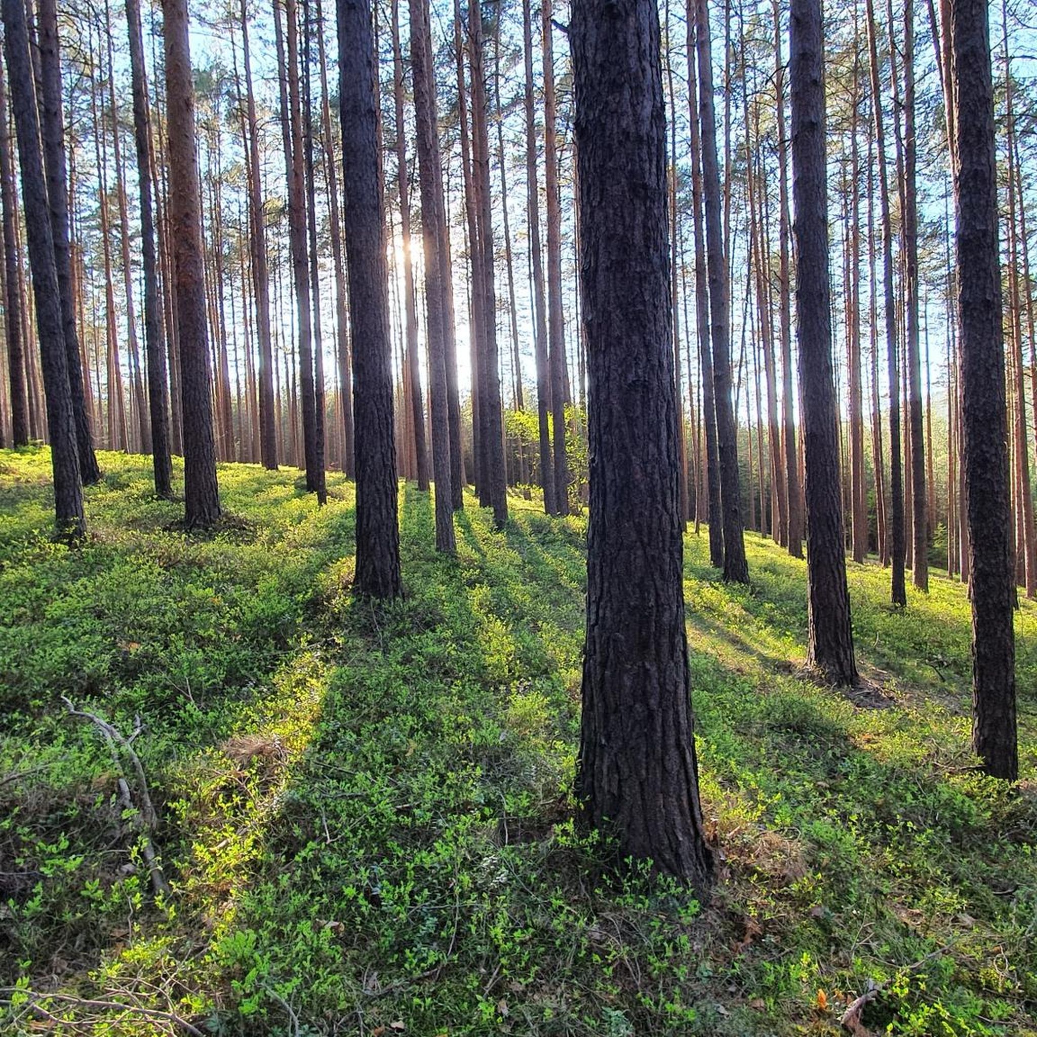
Running Trails in Hermannstal
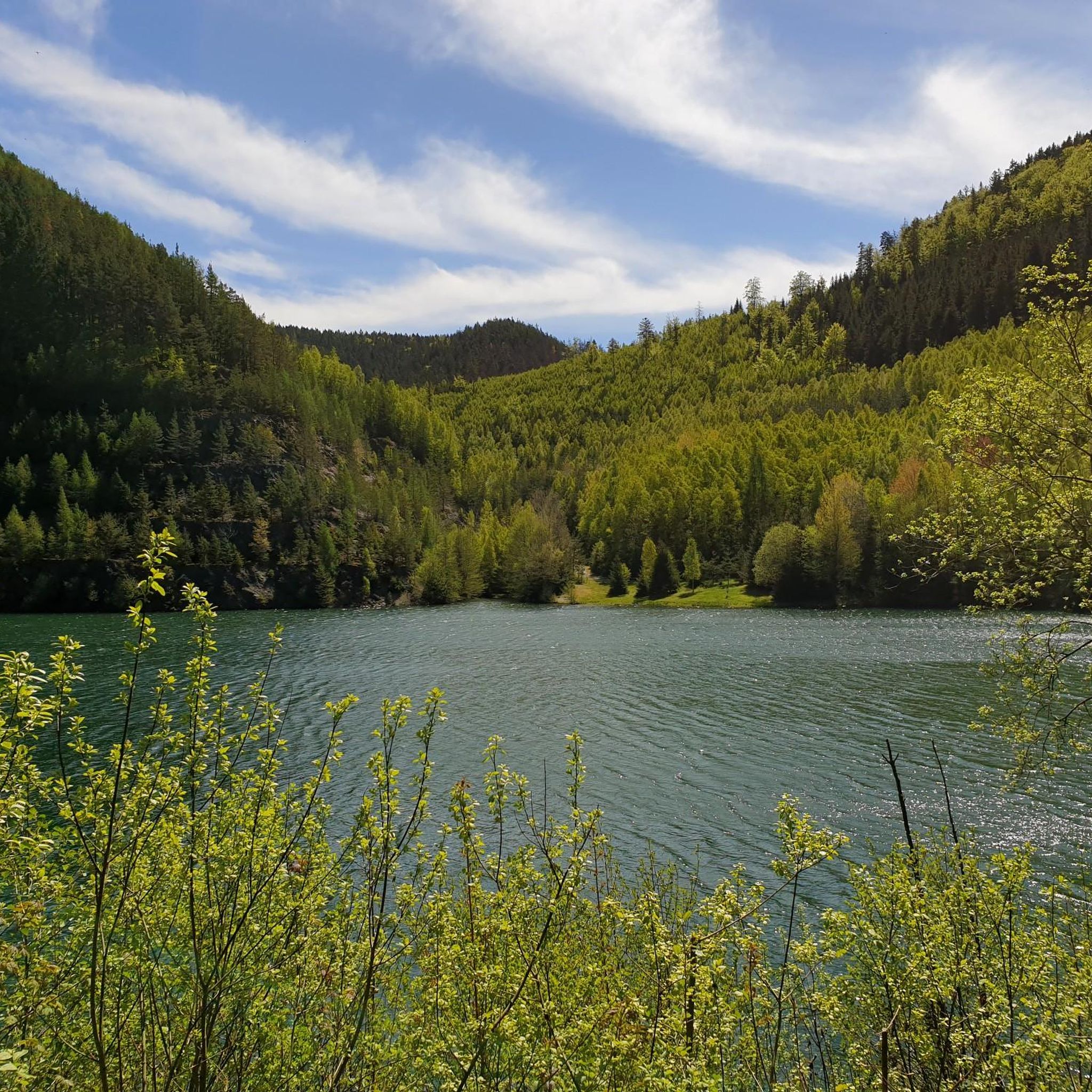
Running Trails around Vorsperre Deesbach
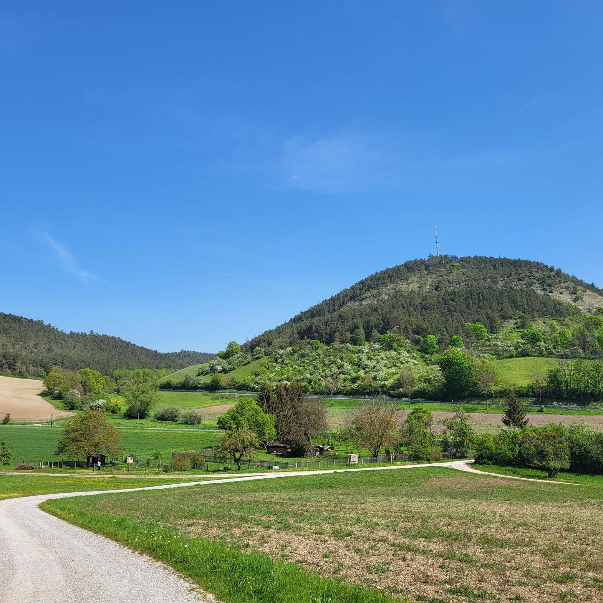
Running Trails around Rudolstadt
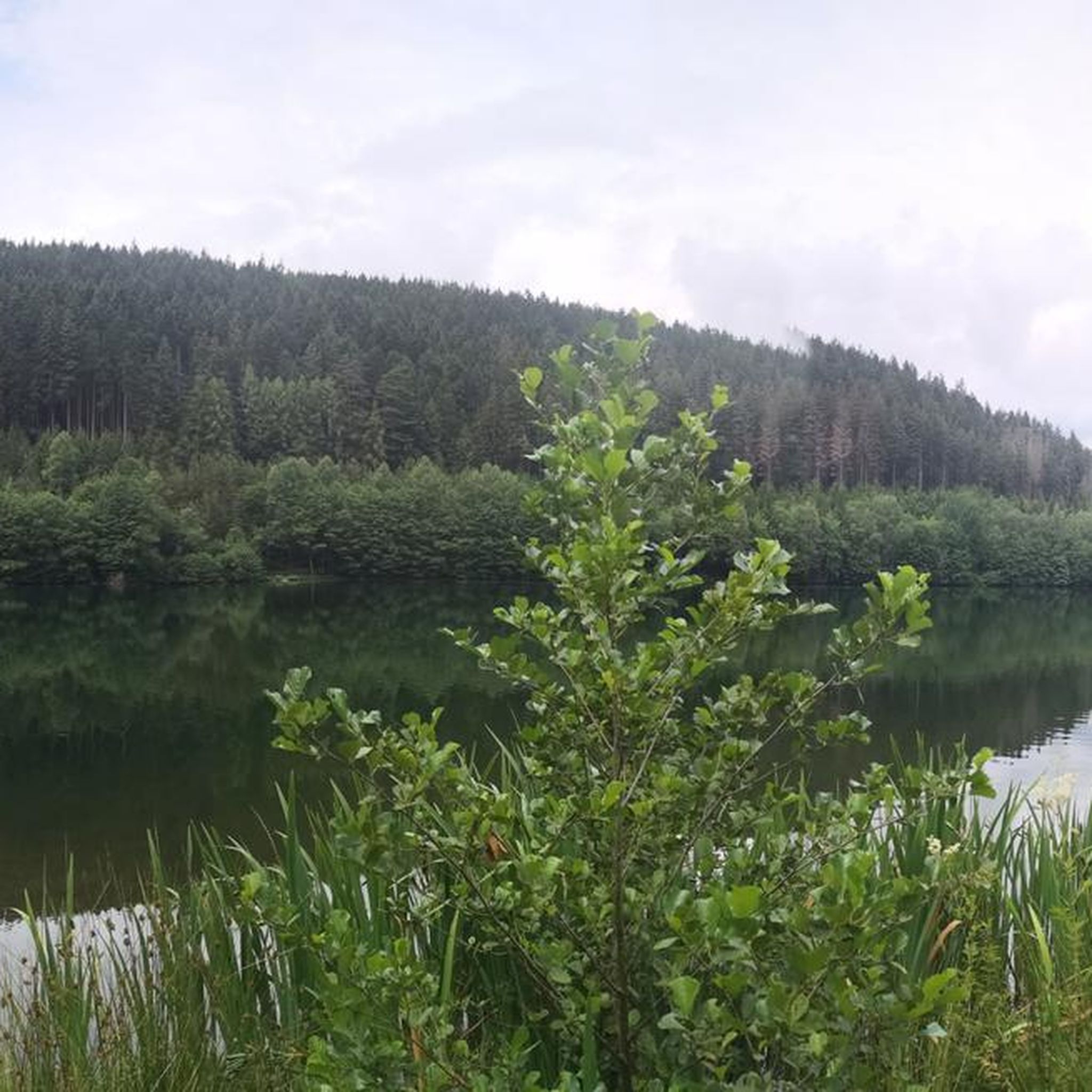
Running Trails around Lichte
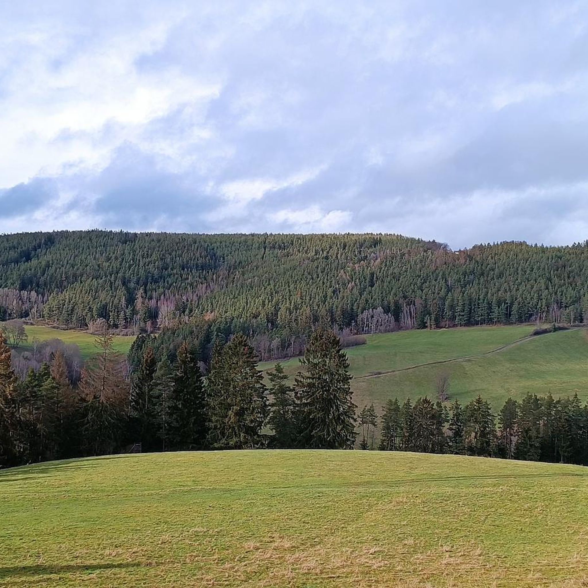
Running Trails around Wittgendorf
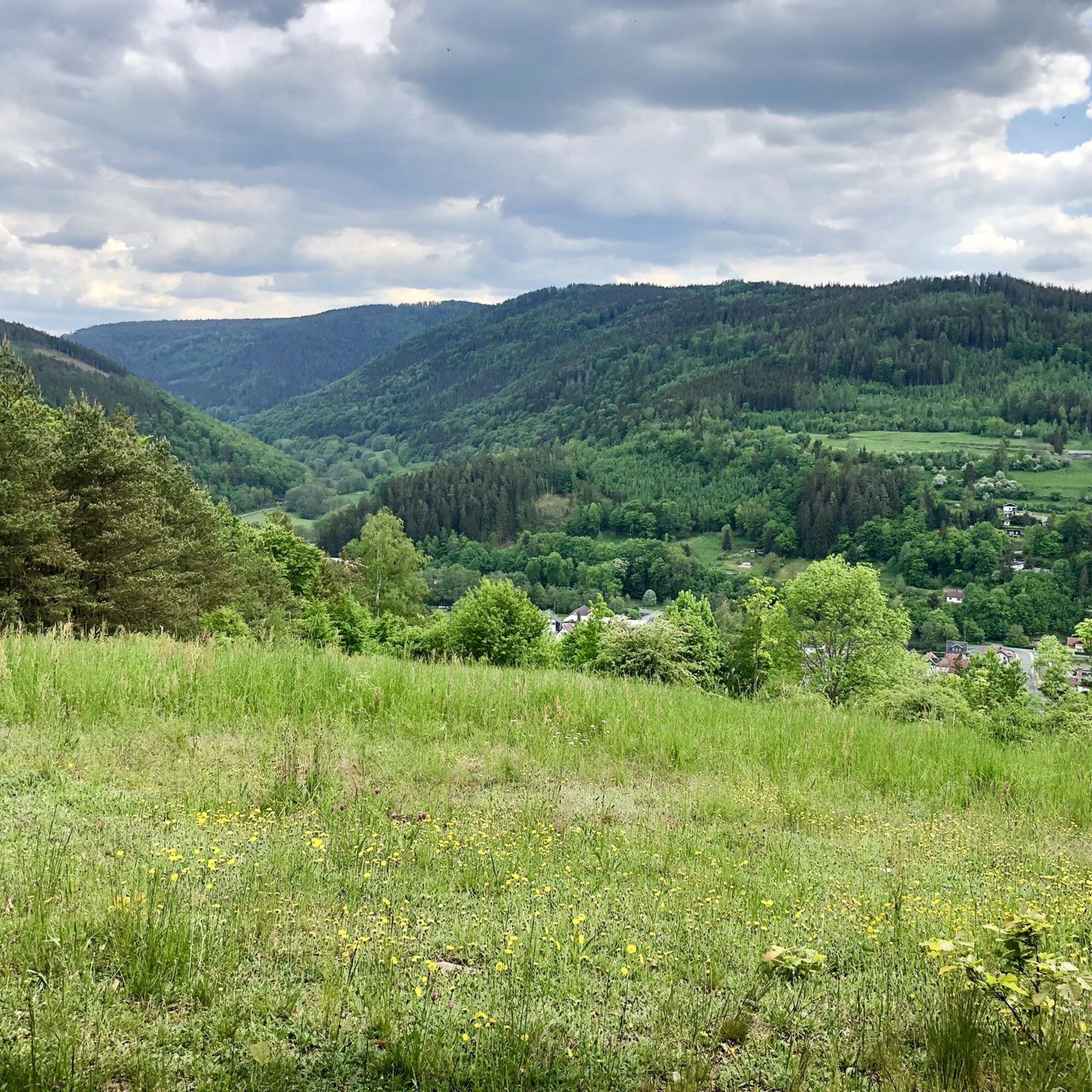
Running Trails around Sitzendorf
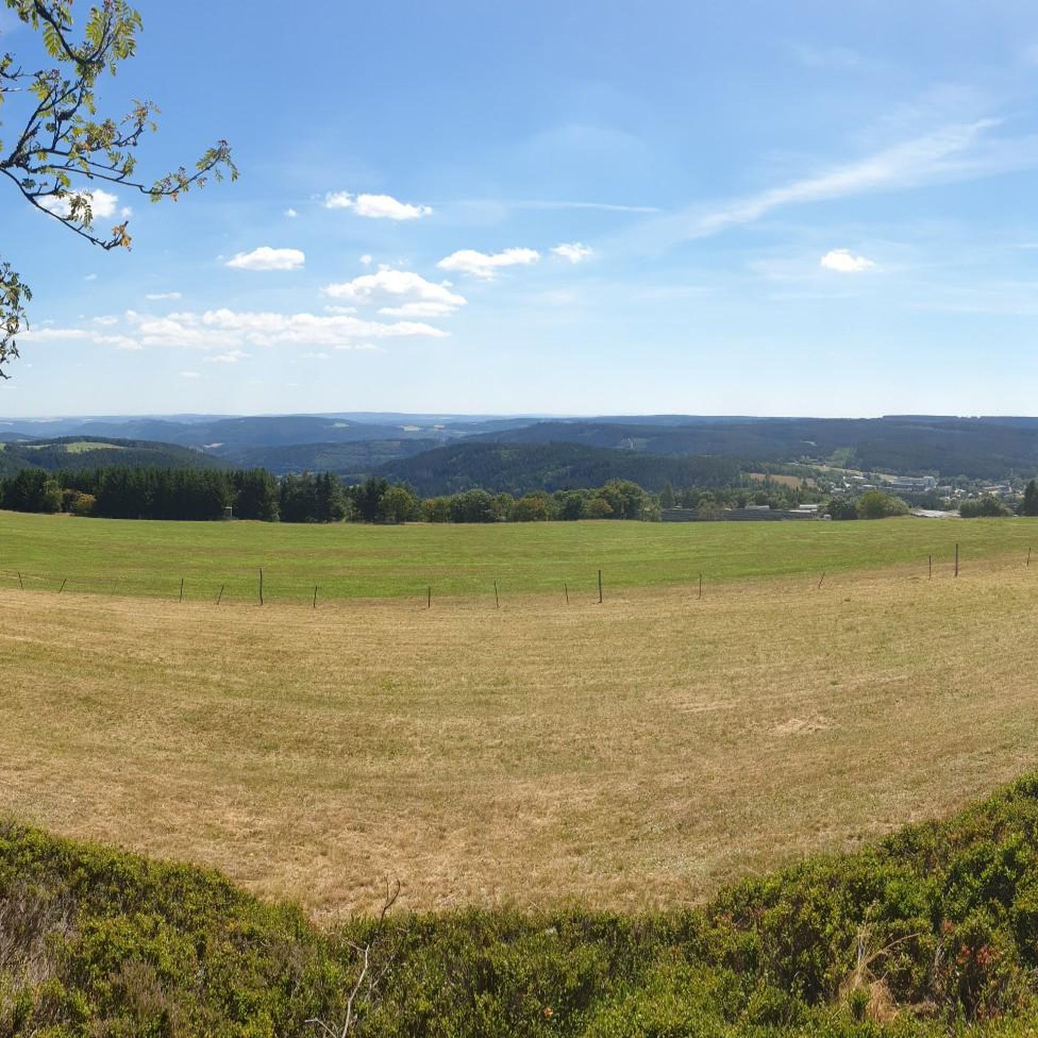
Running Trails around Schmiedefeld
Other adventures in Landkreis Saalfeld-Rudolstadt


Tips from the Community

Rest stop at the old Griffelschiefer slate quarry. Although the black rock has not been mined there for decades, the surreal landscapes of sharp edges and steps, the huge dumps of black slabs still bear witness to the work of generations of Spechtsbrunn residents. The rock was processed immediately on-site by the quarry workers in huts into raw griffels, then turned, ground, and packed in the village – home work primarily for the women and children of the place.
1
0

The mining lodge "Am Brand" in Spechtsbrunn (Thuringian Forest, approx. 774 m above sea level) looks back on a varied history. Originally built in 1905 as part of a slate processing plant, the place developed into a popular excursion destination.
1
0

Directly at the Saale bridge. With some seating areas to linger.
2
0
Small repair station from ADAC. They also help with bicycle breakdowns since recently.
5
0

Currently - May 30, 2026 - the left part is fenced off due to renovation work.
0
0
From Saalfeld, it mostly follows the river to the Elbe. From the Fichtelgebirge over the inclined plane (Münchberger Gneis), the Frankenwald and the Thüringer Wald, a very large number of altitude meters have to be overcome. So you can't speak of a river cycle path. No German river has a cycle path with such a large number of altitude meters.
1
0

Very beautiful view of the reservoir, worth a stop.
0
0
Frequently Asked Questions
What kind of terrain can I expect on running routes in Landkreis Saalfeld-Rudolstadt?
Landkreis Saalfeld-Rudolstadt offers a diverse range of terrain for runners. You'll find extensive woodlands, particularly in the Thuringian Forest, providing varied elevations and challenging trails. The Saale River valley, on the other hand, features flatter, well-maintained paths perfect for a more relaxed run. Areas like the Schwarza Valley offer a mix of natural paths and broader trails, often winding and pleasantly cool in midsummer.
Are there any easy or beginner-friendly jogging routes in the region?
Yes, there are plenty of options for beginners or those looking for an easier run. The region boasts 33 easy routes. For example, the Saale Riverside Path – View from the Saale Bridge loop from Rudolstadt is a moderate 5.7 km path that follows the Saale River, offering relatively flat terrain and pleasant views. Another good option is the 5.2 km Saalebrücke Saalfeld – Saale Meadows loop from Saalfeld/Saale, which also features minimal elevation.
What are some scenic viewpoints or natural features I can see while jogging?
Many running routes in Landkreis Saalfeld-Rudolstadt offer stunning views and pass by notable natural features. You can find routes leading to observation towers like the Meuselbacher Kuppe or Fröbelturm, providing panoramic vistas of the Thuringian Forest. The Hohenwarte Dam offers impressive views of the lake, and the Schwarza Valley is home to the scenic Schwarza Waterfall. Consider the challenging View of Kulm – Preilipper Kuppe Viewpoint loop from Rudolstadt (Thür) for significant elevation gain towards a viewpoint.
Are there any running routes that pass by historical sites or attractions?
Absolutely! The region is rich in history and attractions. While jogging, you might pass by historic towns like Saalfeld and Rudolstadt with their ancient walls and castles such as Heidecksburg. The Lehesten Slate Quarry Industrial Heritage Site, now a nature reserve, offers unique circular routes around a lake. The Saalfeld Fairy Grottoes are set within a natural park-like environment that could offer pleasant runs nearby.
Can I find circular running routes in Landkreis Saalfeld-Rudolstadt?
Yes, many of the running routes in the region are designed as loops, allowing you to start and finish at the same point. For instance, the Volkstedt Weir – View from the Saale Bridge loop from Rudolstadt is an 11 km trail through the Saale River valley. Another option is the 10.1 km Saalebrücke Saalfeld – Göritzmühle Weir loop from Saalfeld/Saale, offering riverside running.
What is the best time of year for jogging in Landkreis Saalfeld-Rudolstadt?
The region is suitable for jogging year-round, but each season offers a different experience. Spring and autumn provide pleasant temperatures and beautiful scenery with changing foliage. Summer can be warm, but routes through the thickly forested Thuringian Forest or along the Schwarza Valley can be pleasantly cool. Winter jogging is also possible, with many trails remaining accessible, though conditions may vary.
Are there any long-distance or challenging running trails for experienced runners?
Experienced runners will find plenty of challenging options. The region features 130 difficult routes. For a significant challenge, consider the 27.6 km Kurpark Path – Waterfall in Schwarzatal loop from Bad Blankenburg (Thüringerw), which includes substantial elevation gain. Another demanding option is the 22.2 km Waterfall in Schwarzatal – Kurpark Path loop from Dittersdorf, known for its considerable ascent.
What do other runners say about the jogging routes in Landkreis Saalfeld-Rudolstadt?
The running routes in Landkreis Saalfeld-Rudolstadt are highly regarded by the komoot community, with an average rating of 4.5 stars from over 450 reviews. Runners often praise the diverse landscapes, from the quiet woodlands to the scenic river valleys, and appreciate the variety of trails catering to different fitness levels. Many highlight the well-maintained paths and the beautiful natural surroundings.
Are there family-friendly running routes suitable for all ages?
Yes, many routes are suitable for families, especially those looking for easier, less strenuous options. Paths along the Saale River, such as the Saale Riverside Path – View from the Saale Bridge loop from Rudolstadt (Thür), offer relatively flat terrain and pleasant scenery, making them enjoyable for all ages. Look for routes marked as 'easy' or 'moderate' with minimal elevation gain.
Are there options for parking near the running trails?
While specific parking information varies by route, many popular trailheads and starting points in towns like Saalfeld and Rudolstadt, or near major attractions, offer designated parking areas. It's always a good idea to check the individual route details on komoot for specific parking recommendations before you head out.
Can I access running routes using public transport?
Landkreis Saalfeld-Rudolstadt has a public transport network that can help you reach various starting points for running routes. Towns like Saalfeld and Rudolstadt are well-connected, and some smaller villages also have bus or train access. For routes starting in more remote areas, a combination of public transport and a short walk might be necessary. Checking local bus and train schedules in advance is recommended.
What is the typical length of running trails in the region?
The running trails in Landkreis Saalfeld-Rudolstadt vary greatly in length to suit all preferences. You can find shorter loops, like the 5.7 km Saale Riverside Path – View from the Saale Bridge loop from Rudolstadt, perfect for a quick jog. For longer runs, there are routes exceeding 20 km, such as the 21.3 km View of Kulm – Preilipper Kuppe Viewpoint loop from Rudolstadt (Thür), offering extended challenges.
Most popular routes in Landkreis Saalfeld-Rudolstadt
Most popular attractions in Landkreis Saalfeld-Rudolstadt

Get inspired with the komoot mobile app


Didn’t find what you were looking for?
Check out more Running Trails & Routes throughout Landkreis Saalfeld-Rudolstadt below and find the perfect route in your destination.
Explore more
Browse the best Running Trails & Routes in other regions.
