The best family-friendly hikes and walks in Ilm-Kreis
4.7
(22941)
80,566
hikers
2,901
hikes
Family friendly hiking trails in Ilm-Kreis are set within the Thuringian Forest, a region characterized by dense woodlands, rolling hills, and picturesque valleys. The landscape features the Ilm River and several reservoirs, including Heyda Dam and Schönbrunn Reservoir. Elevations range from valley floors to the Schneekopf, the second-highest peak in Thuringia at 978 meters. This varied terrain provides a diverse environment for outdoor activities.
Best family friendly hiking trails in Ilm-Kreis
- The most popular family friendly hiking route is Urwaldpfad…
Last updated: July 11, 2026
4.7
(118)
432
hikers
20.9km
05:53
430m
430m
Hard hike. Very good fitness required. Easily-accessible paths. Suitable for all skill levels.
4.8
(132)
402
hikers
13.4km
03:46
290m
290m
Moderate hike. Good fitness required. Easily-accessible paths. Suitable for all skill levels.

Sign up for free
4.8
(829)
2,802
hikers
10.5km
02:48
110m
110m
Moderate hike. Good fitness required. Easily-accessible paths. Suitable for all skill levels.
4.9
(71)
212
hikers
18.9km
05:47
700m
580m
Hard hike. Very good fitness required. Mostly accessible paths. Sure-footedness required.
4.5
(72)
224
hikers
11.3km
03:20
320m
310m
Moderate hike. Good fitness required. Mostly accessible paths. Sure-footedness required.
Get access to more routes and recommendations from other explorers.
Sign up for free
Already have an account?
Our route recommendations are based on thousands of hikes, rides, and runs completed by other people on komoot.
Start today with a free account
Your next adventure awaits.
Login or Signup
Popular around Ilm-Kreis
Family-friendly hikes around Gehlberg
Family-friendly hikes around Ilmenau

Family-friendly hikes around Frankenhain
Family-friendly hikes around Arnstadt

Family-friendly hikes around Schmiedefeld am Rennsteig
Family-friendly hikes around Stützerbach

Family-friendly hikes around Neustadt am Rennsteig
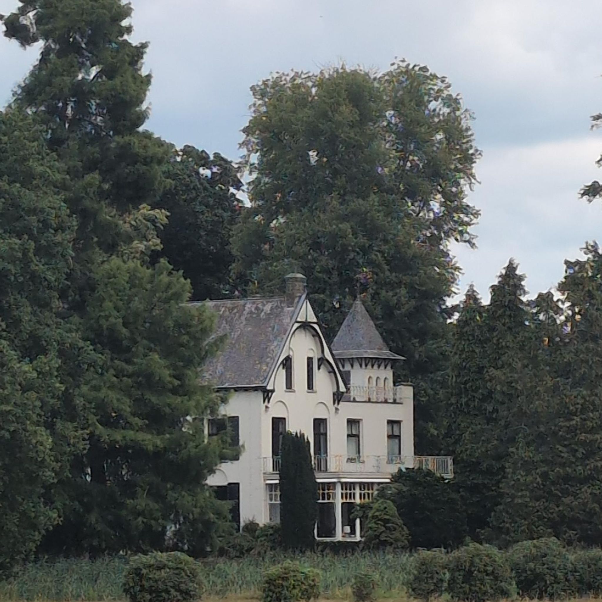
Family-friendly hikes around Amt Wachsenburg
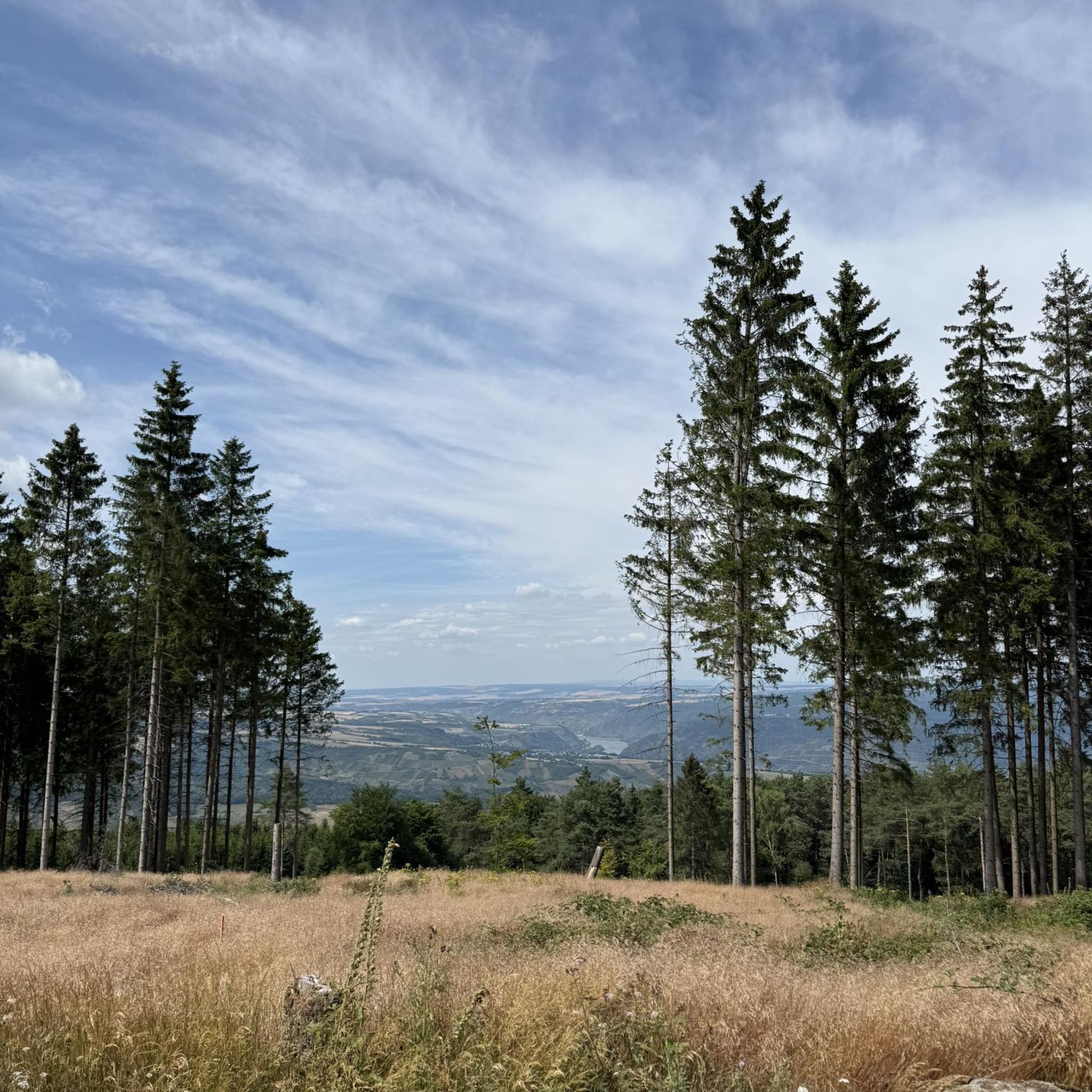
Family-friendly hikes around Dam Lütsche
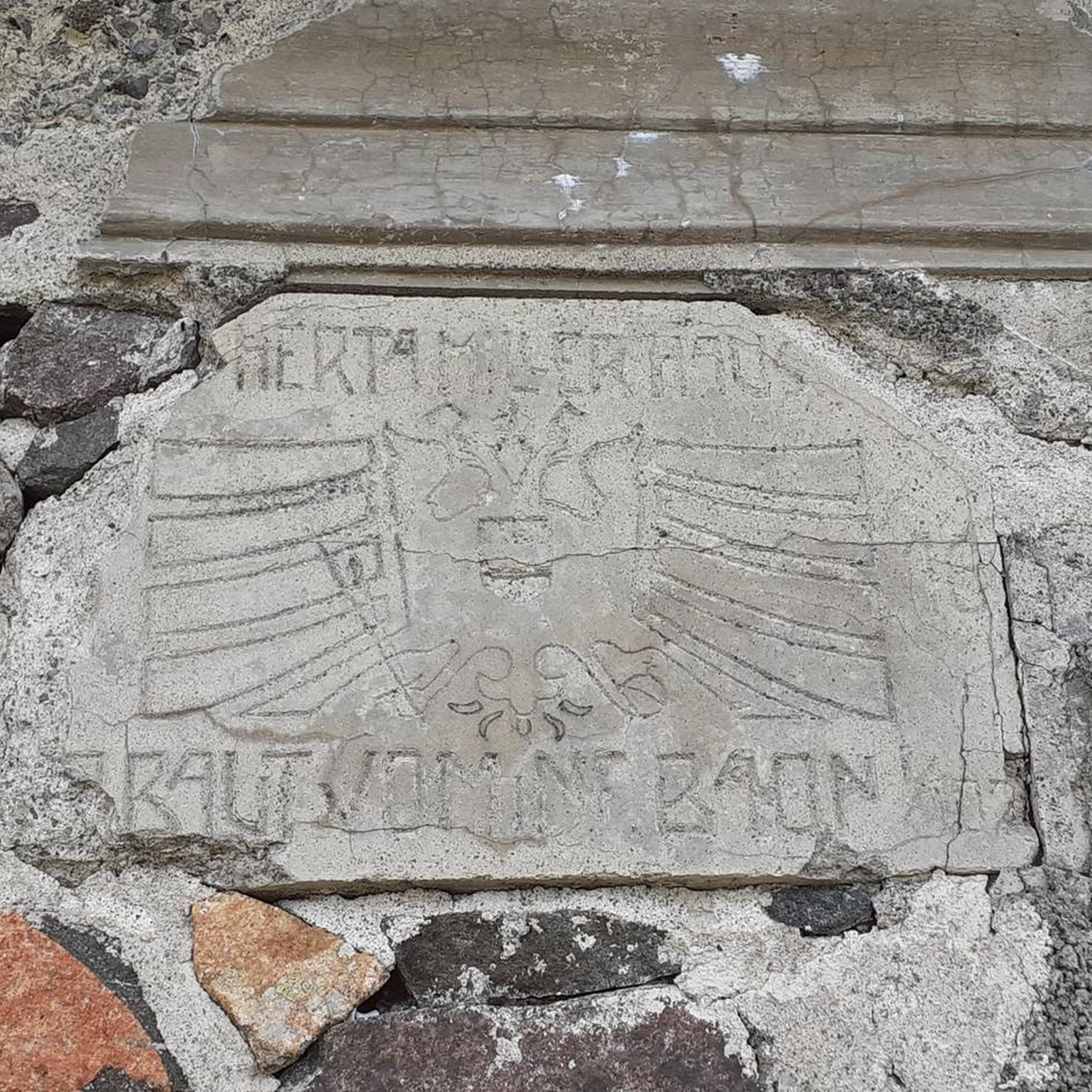
Family-friendly hikes around Geraberg
Other adventures in Ilm-Kreis


Tips from the Community

The Goethebrunnen is one of the most striking works of art in the Ilmenau cemetery and uniquely combines memorial culture, Bauhaus design, and the city's Goethe tradition. It was erected in 1932 to mark the 100th anniversary of Johann Wolfgang von Goethe's death. The installation was designed by the Ilmenau artist and Bauhaus student Wilhelm Löber. At its center is a fountain basin with a relief titled "Stirb und werde" (Die and become). This motif picks up on a central idea from Goethe's poetry: the concept of change, transience, and renewal. It is therefore particularly fitting for a cemetery, which is both a place of farewell and remembrance. The fountain was created at a time when Goethe was understood not only as a poet but also as a naturalist, statesman, and close supporter of Ilmenau. During his numerous stays in the city, he was intensively involved with mining and the development of the region. The Goethebrunnen was therefore intended not only to commemorate the famous poet but also to make the special connection between Goethe and Ilmenau visible. In terms of design, the installation clearly stands out from the older gravestones in the cemetery. The clear formal language and reduced design show the influence of the Bauhaus and make the fountain an important testament to the architectural and art history of the early 20th century. Today, the Goethebrunnen is considered one of the most significant monuments in the Ilmenau cemetery. [own records and notes]
1
0


A lake, forest, fields and small villages in the surrounding area, gastronomy at the lake and berries and mushrooms in the forests
0
0

Beautiful circular walk around the dam 🖖
1
0
Beautiful circular walk around the dam 🖖
0
0
Beautiful circular walk around the dam 🖖
0
0
Beautiful circular walk around the dam 🖖
0
0

This is the Heyda reservoir, not the Lütsche!!
0
0
Frequently Asked Questions
How many family-friendly hiking trails are available in Ilm-Kreis?
Ilm-Kreis offers a wide variety of hiking opportunities, with over 2,800 routes in total. More than 1,300 of these are classified as easy, making them ideal for families looking for a relaxed outdoor experience.
What kind of terrain can we expect on family hikes in Ilm-Kreis?
The region, nestled within the Thuringian Forest, features rolling hills, dense woodlands, and picturesque valleys. Many family-friendly trails offer gentle ascents and descents, often on well-maintained paths through forests or alongside rivers. While some routes might have moderate elevation changes, there are plenty of options suitable for all fitness levels, including those with young children.
Are there easy, short walks suitable for families with young children or toddlers?
Yes, Ilm-Kreis has many easy and shorter routes perfect for families with toddlers. For example, the Heyda Dam – Heyda Reservoir loop is a moderate 10.4 km route with minimal elevation gain, offering pleasant views around the water. The Zwergenpfad (Dwarf Trail) near Frauenwald is also known as a shorter, family-friendly loop.
Can we find circular hiking routes that are suitable for families?
Absolutely. Many of the family-friendly trails in Ilm-Kreis are designed as circular routes, allowing you to start and end at the same point without retracing your steps. The Heyda Dam – Heyda Reservoir loop is a great example of a scenic circular route.
Are there any specific attractions or landmarks to see along family-friendly trails?
Ilm-Kreis is rich in natural and historical landmarks. You can explore the Kickelhahn Tower above Ilmenau for panoramic views, or visit the Schneekopf Summit and Observation Tower, the second-highest point in Thuringia. The region also features several scenic reservoirs like the Heyda Dam and the Schönbrunn Reservoir, perfect for a leisurely walk.
Are dogs allowed on the family-friendly hiking trails in Ilm-Kreis?
Generally, dogs are welcome on hiking trails in Ilm-Kreis, especially in the natural forest areas. However, it's always recommended to keep them on a leash, particularly in nature reserves, near wildlife, or when passing through populated areas. Please respect local signage regarding dog regulations.
What are some scenic family walks with good viewpoints?
For breathtaking views, consider trails leading to the Kickelhahn Tower or the Schneekopf Summit and Observation Tower. Both offer magnificent panoramic vistas over the Thuringian Forest. Many paths around the Heyda Dam also provide lovely scenic outlooks over the water and surrounding landscape.
Are there any unique natural features or caves we can explore with kids?
Yes, Ilm-Kreis offers unique geological features. The Burnt Stone Tunnel, an old mining tunnel from 1704, can be explored without a lamp and offers a fascinating experience. The Dienstedt Karst Cave is another notable natural feature in the area.
How accessible are the trailheads by public transport or car, and is parking available?
Many trailheads in Ilm-Kreis are accessible by car, with designated parking areas often available near popular starting points or attractions. Public transport options, such as buses, connect some towns and villages, providing access to certain trailheads. It's advisable to check local transport schedules for specific routes.
What do other hikers enjoy most about hiking in Ilm-Kreis?
The komoot community highly rates the hiking experience in Ilm-Kreis, with an average score of 4.66 stars from over 21,000 ratings. Hikers often praise the tranquil beauty of the Thuringian Forest, the well-marked trails, and the diverse landscapes that cater to all ages and abilities. The region's blend of natural beauty and cultural heritage, like the Goethe connections, is also frequently highlighted.
Are there any 'primeval forest' paths suitable for families?
While some 'primeval forest' paths like the Urwaldpfad Vessertal can be quite long (over 20 km) and challenging, the Urwaldpfad Jüchnitzgrund is a moderate 11.3 km route that offers a similar immersive nature experience. These paths allow families to discover the untouched beauty of the Thuringian Forest, though some may require a bit more stamina.
Can we find places to eat or rest along the family-friendly trails?
Yes, several trails feature huts or restaurants where you can take a break and enjoy local cuisine. The Neue Gehlberger Hütte on Schneekopf is the highest-altitude serviced hut in Thuringia, offering traditional food and a cozy atmosphere. You might also find grill huts, like the Grill hut at Karsthöhle Dienstedt, perfect for a picnic.
Most popular routes in Ilm-Kreis
Most popular attractions in Ilm-Kreis

Get inspired with the komoot mobile app


Didn’t find what you were looking for?
Check out more Hikes throughout Ilm-Kreis below and find the perfect route in your destination.
Explore more
Browse the best Hikes in other regions.
