The best hikes from bus stations in Goms
4.7
(13049)
101,652
hikers
191
hikes
Hiking in Goms offers a diverse range of bus station hiking trails within the high Swiss Alps. The region is characterized by a long, narrow valley enveloped by tall mountains, providing extensive alpine scenery. The Rhone River originates here, flowing through lush green meadows and extensive forests. Hikers can explore varied natural environments, including traditional villages and diverse alpine flora and fauna.
Best bus station hiking trails in Goms
- The most popular bus station hiking route is Circular hike over…
Last updated: June 28, 2026
4.2
(5)
38
hikers
18.0km
06:33
960m
960m
Hard hike. Very good fitness required. Sure-footedness, sturdy shoes and alpine experience required.
5.0
(58)
448
hikers
9.74km
04:14
560m
560m
Hard hike. Good fitness required. Sure-footedness, sturdy shoes and alpine experience required.

Sign up for free
4.9
(30)
205
hikers
11.7km
05:36
810m
810m
Hard hike. Very good fitness required. Mostly accessible paths. Sure-footedness required.
4.8
(20)
166
hikers
15.6km
05:07
550m
550m
Hard hike. Very good fitness required. Sure-footedness, sturdy shoes and alpine experience required.
5.0
(19)
159
hikers
15.7km
07:24
1,050m
1,050m
Hard hike. Very good fitness required. Sure-footedness, sturdy shoes and alpine experience required.
Get access to more routes and recommendations from other explorers.
Sign up for free
Already have an account?
Our route recommendations are based on thousands of hikes, rides, and runs completed by other people on komoot.
Start today with a free account
Your next adventure awaits.
Login or Signup
Popular around Goms
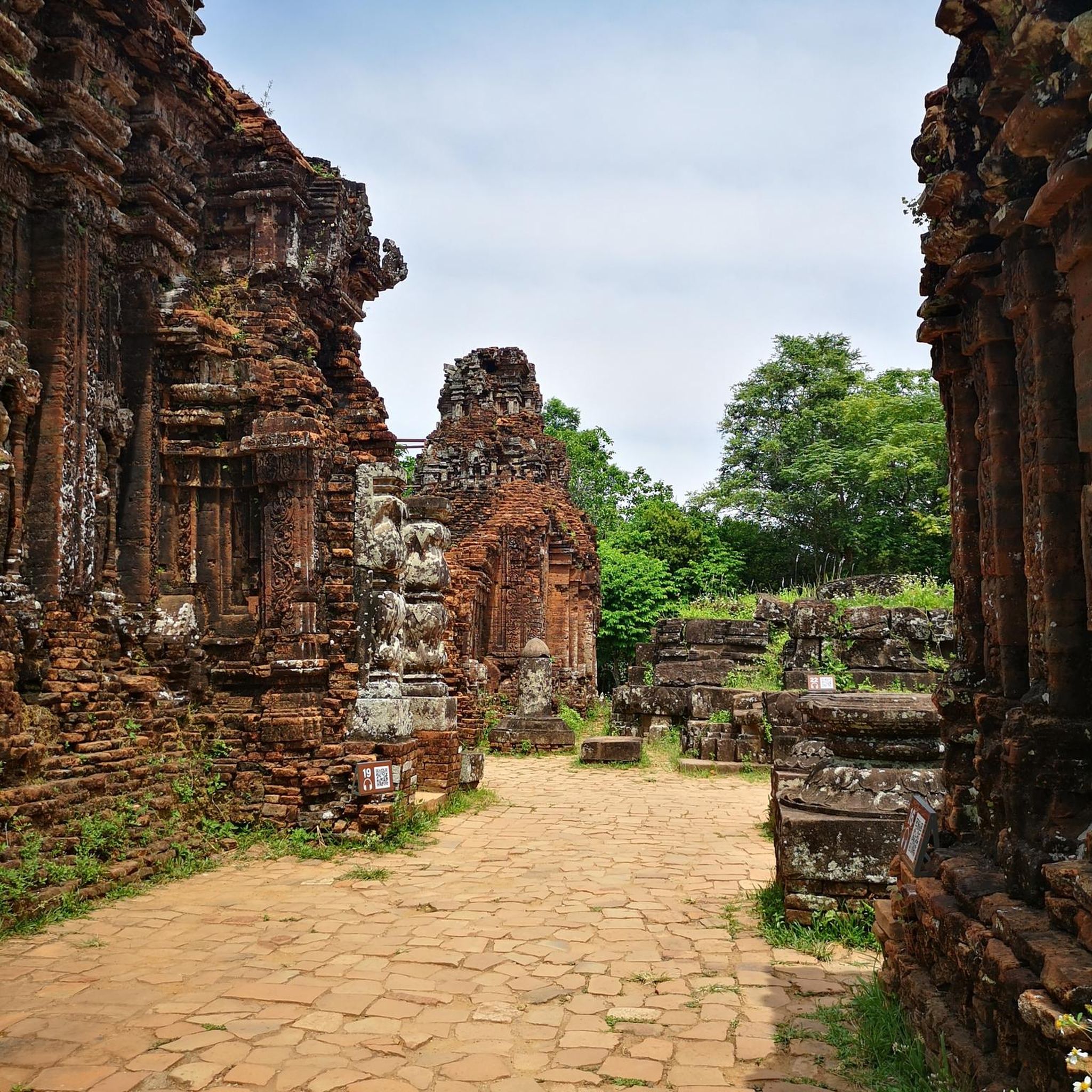
Hikes from bus stations around Landschaftspark Binntal
Hikes from bus stations around Totesee
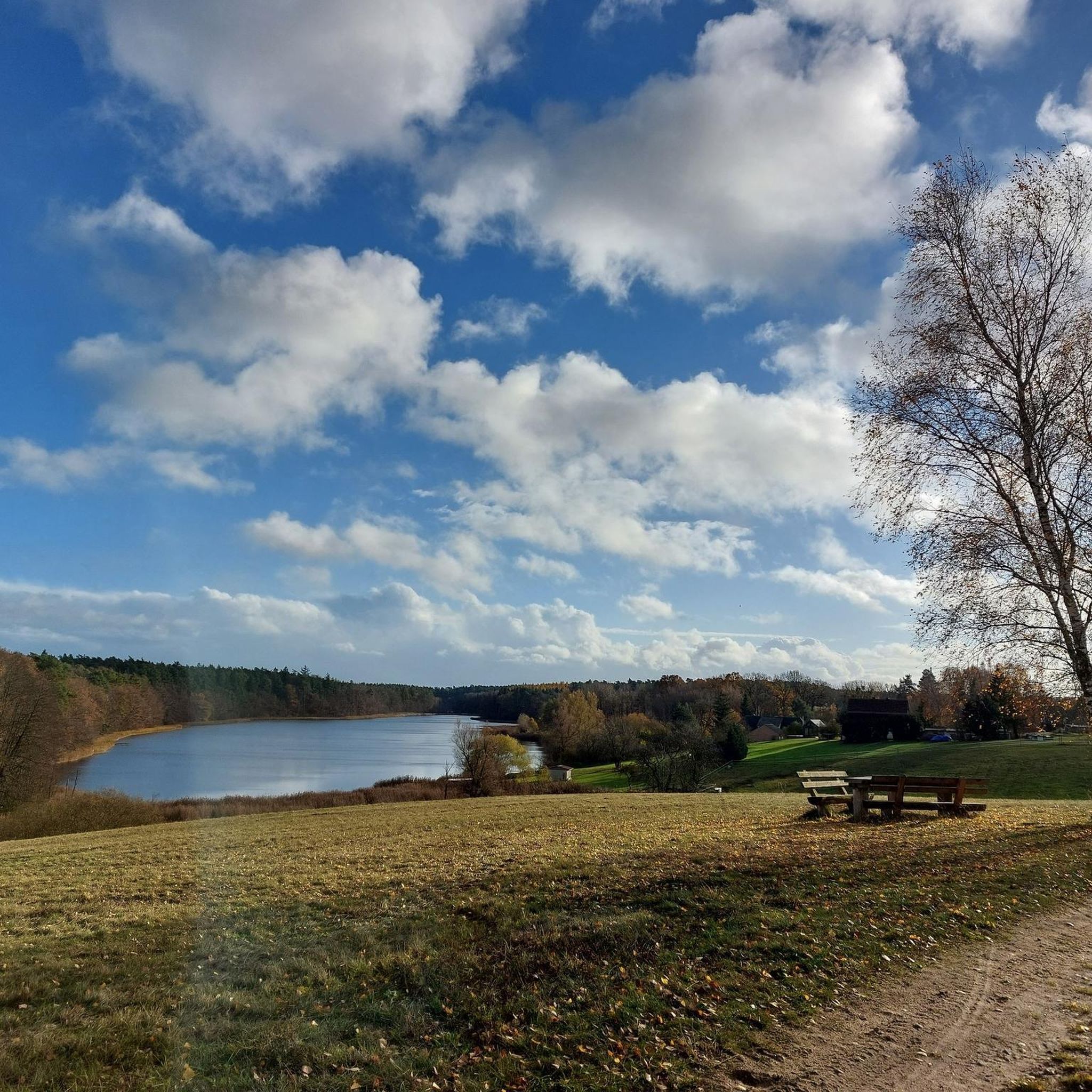
Hikes from bus stations around Griessee

Hikes from bus stations around Geisspfadsee
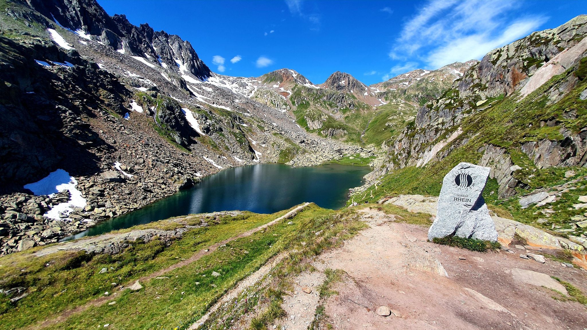
Four Springs Trail — Find flow in Switzerland's Gotthard Massif
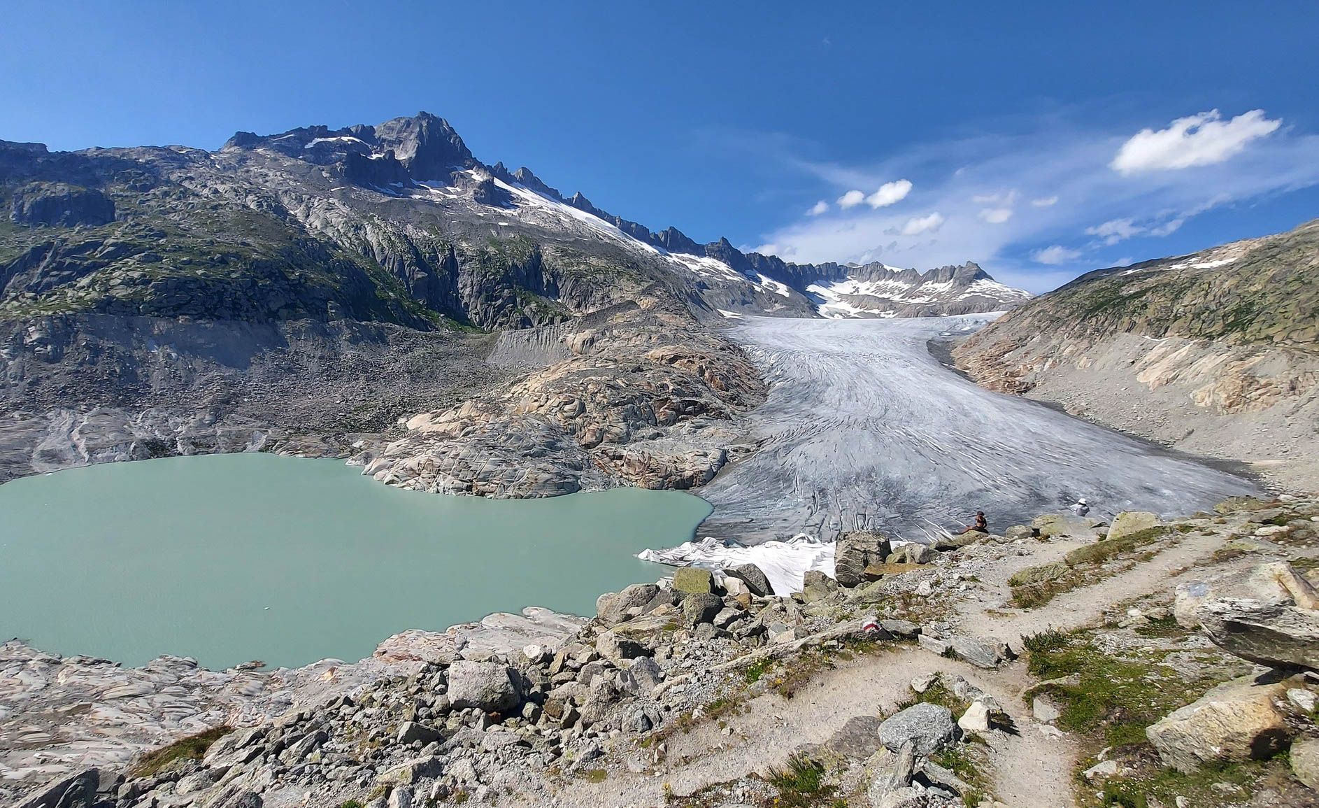
Switzerland's Furka High Trail – Two days of history and nature

Alpine Passes Trail in Switzerland – 34 stages of pure mountain fun
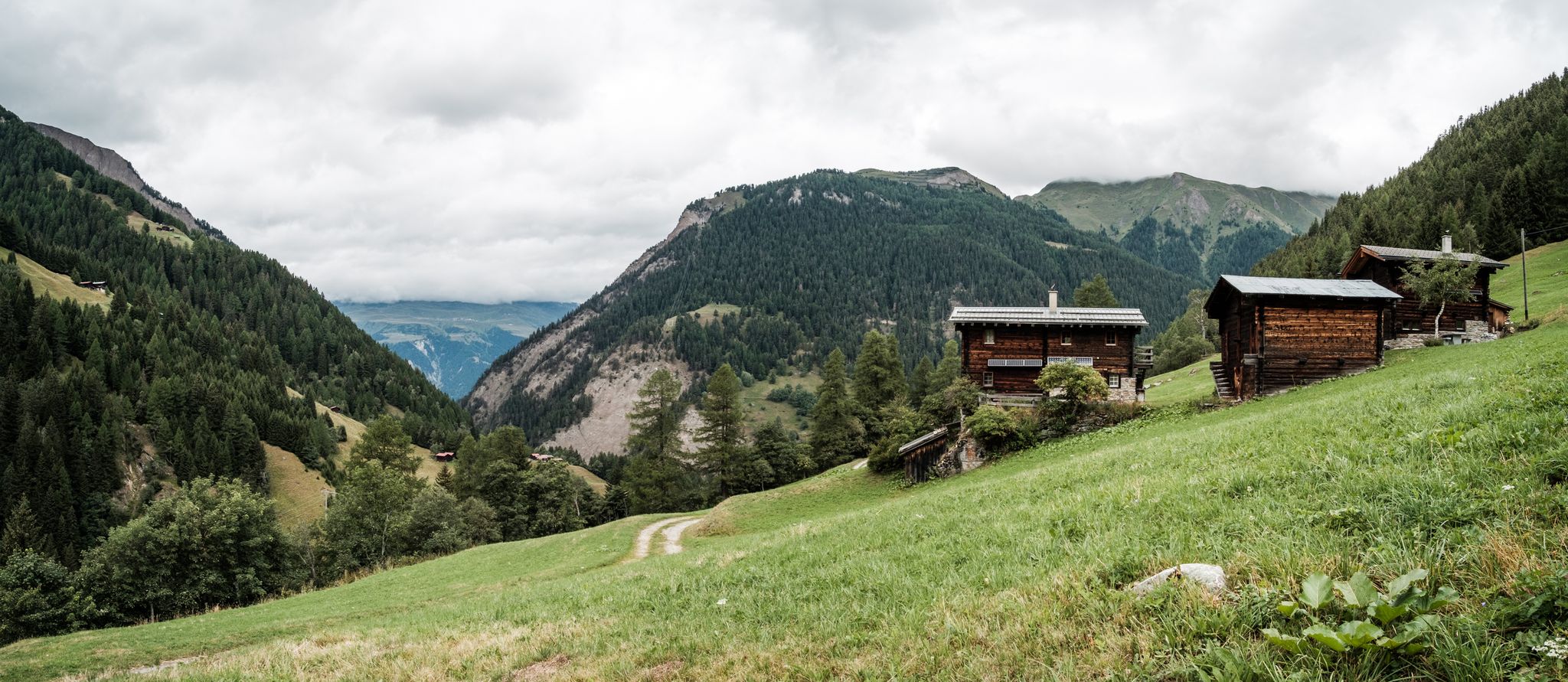
On mule tracks from Binntal to Italy
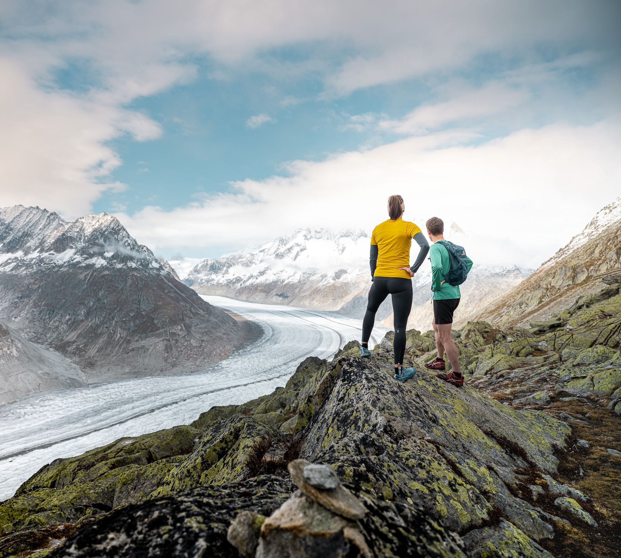
Thrills and adventure on the Stoneman Glaciara
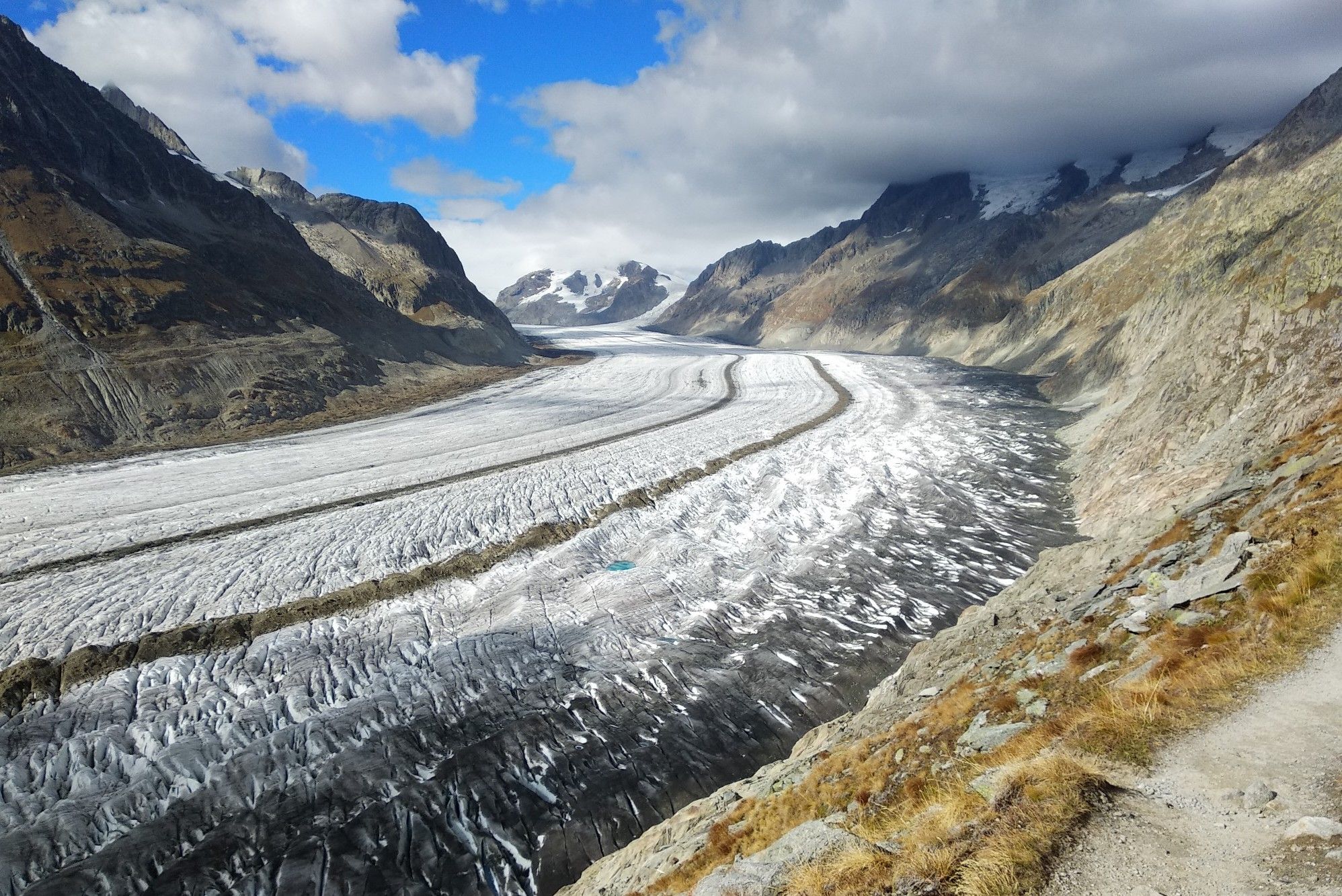
Aletsch Panorama Trail – mighty glaciers and airy suspension bridges
Other adventures in Goms


Tips from the Community

The campsite is located at 1500m above sea level. It gets cold at night even in summer. Think of a good sleeping bag or wool blankets. Wishing you a pleasant night's sleep.
1
0
pretty here, very pretty
1
0

Small but perfectly formed. Lake Mässersee is incredibly beautiful! Fantastic view across to the southern side of the Bernese Alps.
0
0

A beautiful mountain village with very friendly people. You feel welcome here. The stamping station makes for a lovely photo opportunity.
0
0

Unfortunately, nothing of the installation remains, except for the pretty waterfall
0
0

A beautiful place with a beautiful bridge, the stone arched bridge over the Binna River dating from 1564. Next to the bridge is the Restaurant zur Brücke, a good place to stop for a bite to eat.
4
0

An eye-catcher at the lake
0
0
Frequently Asked Questions
How many bus station hiking trails are available in Goms?
Goms offers a vast network of over 190 hiking trails that are easily accessible from bus stations. This includes a wide range of difficulties, with 41 easy, 91 moderate, and 61 difficult routes to choose from.
What is the best time of year to hike from bus stations in Goms?
The prime hiking season in Goms is typically from late spring to early autumn (June to October). During these months, the trails are clear of snow, and you can enjoy the lush green meadows, diverse alpine flora, and comfortable temperatures. Some lower-altitude trails might be accessible earlier or later, but always check local conditions.
Are there easy hiking trails accessible by bus in Goms?
Yes, Goms has 41 easy hiking routes that are perfect for beginners or those looking for a relaxed stroll. These trails often wind through charming villages and along the Rhone River, offering gentle gradients and beautiful scenery without significant elevation gain.
What kind of landscapes can I expect on bus-accessible hikes in Goms?
Hikes in Goms offer incredibly diverse landscapes. You'll experience breathtaking panoramic views of the Swiss Alps, walk through lush green meadows and extensive forests, and follow the journey of the Rhone River near its source. The region is also dotted with picturesque traditional villages, adding a cultural element to the natural beauty.
Are there any family-friendly bus station hikes in Goms?
Many of the easy and moderate trails are suitable for families. Look for routes that feature relatively flat terrain and shorter distances. The charming villages along the valley also provide excellent spots for breaks and exploration with children.
Can I bring my dog on bus-accessible hiking trails in Goms?
Generally, dogs are welcome on hiking trails in Goms, but it's always best to keep them on a leash, especially in areas with livestock or protected wildlife. Be sure to check specific trail regulations and public transport rules regarding pets before you go. Remember to carry water for your dog and clean up after them.
Are there circular hiking routes that start and end at bus stations in Goms?
Yes, Goms offers several excellent circular routes that are convenient for bus users. One notable option is the Circular hike over the Aspi-Titter suspension bridge and Goms Bridge, which provides a challenging but rewarding experience with stunning views and unique architectural features.
What are some challenging bus station hikes in Goms?
For experienced hikers seeking a challenge, Goms has 61 difficult routes. These often involve significant elevation gain and longer distances. Consider the View from Sidelhorn – View of Totesee loop from Grimselpass or the View of the Rhone Glacier – Grätli Lake loop from Grimselpass for demanding trails with spectacular alpine vistas.
Are there opportunities to see natural attractions or landmarks on these trails?
Absolutely! Many bus-accessible trails in Goms lead to or pass by significant natural attractions. You can find routes that offer views of the Eggishorn, the impressive Twingi Gorge, or the serene Märjelensee. The region is also close to the UNESCO World Heritage Site of the Swiss Alps Jungfrau-Aletsch.
What should I wear for summer hiking on bus-accessible trails in Goms?
Even in summer, weather in the Alps can change quickly. It's best to dress in layers, including moisture-wicking base layers, a mid-layer for warmth, and a waterproof and windproof outer shell. Sturdy hiking boots with good ankle support are essential. Don't forget sun protection (hat, sunglasses, sunscreen) and plenty of water.
Are there any winter hiking options from bus stations in Goms?
While this guide focuses on summer hiking, Goms is also a popular winter destination. Many trails are prepared for winter hiking or snowshoeing. Always check local conditions, trail closures, and avalanche warnings before heading out in winter. Public transport often continues to operate, providing access to winter trailheads.
What do other hikers say about bus station trails in Goms?
The bus station trails in Goms are highly regarded by the komoot community, boasting an average rating of 4.7 out of 5 stars from over 12,500 ratings. Hikers frequently praise the stunning alpine scenery, the well-maintained paths, and the convenience of accessing diverse routes directly from public transport stops.
Most popular routes in Goms
Most popular attractions in Goms

Get inspired with the komoot mobile app


Didn’t find what you were looking for?
Check out more Hikes throughout Goms below and find the perfect route in your destination.
Explore more
Browse the best Hikes in other regions.
