The best hikes from bus stations around Kaltennordheim
4.6
(5368)
17,819
hikers
27
hikes
Bus station hiking trails around Kaltennordheim offer access to the diverse landscapes of the Rhön Mountains, a low mountain range known for its wide views and distinctive basalt and phonolite rock formations. The region features "treeless heights" that provide expansive vistas, alongside ancient beech forests and limestone plateaus. These physical features contribute to varied hiking experiences, from open distances to sheltered woodland paths.
Best bus station hiking trails around Kaltennordheim
- The most popular bus station hiking route is Fischbacher Lake…
Last updated: July 11, 2026
3.8
(5)
23
hikers
15.7km
04:31
390m
390m
Moderate hike. Good fitness required. Easily-accessible paths. Suitable for all skill levels.
4.5
(10)
22
hikers
7.16km
01:52
50m
50m
Easy hike. Great for any fitness level. Easily-accessible paths. Suitable for all skill levels.

Sign up for free
5.0
(5)
13
hikers
13.9km
03:56
300m
300m
Moderate hike. Good fitness required. Easily-accessible paths. Suitable for all skill levels.
1
hikers
17.7km
05:03
400m
400m
Hard hike. Very good fitness required. Easily-accessible paths. Suitable for all skill levels.
5.0
(1)
9
hikers
7.86km
02:13
160m
160m
Moderate hike. Good fitness required. Easily-accessible paths. Suitable for all skill levels.
Get access to more routes and recommendations from other explorers.
Sign up for free
Already have an account?
Our route recommendations are based on thousands of hikes, rides, and runs completed by other people on komoot.
Start today with a free account
Your next adventure awaits.
Login or Signup

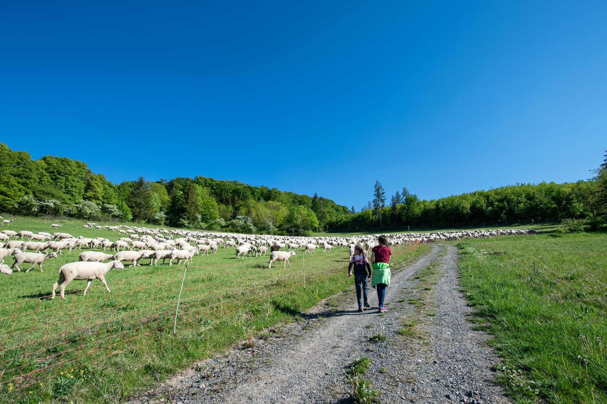
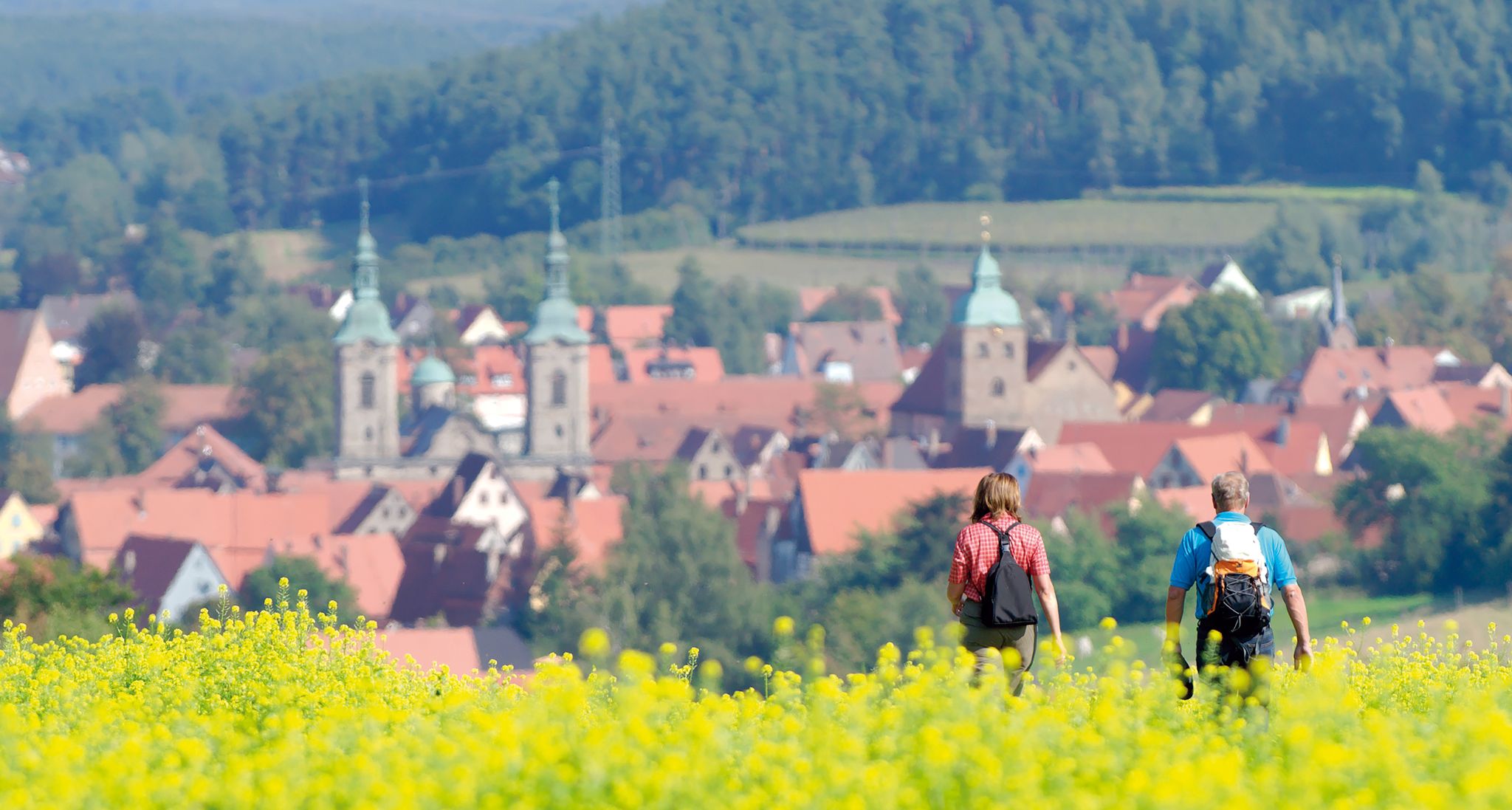
Other adventures around Kaltennordheim


Tips from the Community

A beautiful view of the village of Fischbach.
0
0
Amusing stop by the roadside. Children in particular will enjoy it.
0
0
Beautiful panoramic bench with a great view.
0
0
Wonderful hiking trail for the whole family. Along the Hexenpfad there are many information boards about the flora and fauna of the biosphere reserve.
0
0
The narrow path winds through the great heath landscape.
0
0

We were lucky and the hut was open. Sausages, cakes, and coffee are available here at great prices.
2
0


Another nice resting place
1
0
Frequently Asked Questions
How many bus-accessible hiking trails are available around Kaltennordheim?
There are nearly 30 hiking routes around Kaltennordheim that are easily accessible from bus stations. These trails offer a wide range of experiences, from easy strolls to more challenging day hikes, all within the beautiful Rhön Mountains.
Are there easy hiking trails accessible by bus in Kaltennordheim?
Yes, you'll find over 10 easy hiking trails that start conveniently from bus stops. For example, the Hiking loop from Kaltennordheim is an excellent option, offering a gentle 7 km path suitable for a relaxed outing.
Can I find circular hiking routes starting from bus stations in Kaltennordheim?
Absolutely. Many of the bus-accessible trails are circular, allowing you to start and end your hike at the same bus stop without needing to arrange return transport. The Fischbacher Lake – View of Fischbach loop from Kaltennordheim is a popular circular route, offering diverse scenery.
Are there family-friendly hiking trails accessible by bus?
The Rhön region is very family-friendly. While not directly listed in the guide, the famous Hexenpfad (Witches' Trail) in the UNESCO Rhön Biosphere Reserve is a certified family hiking trail known for its engaging features like information points, a climbing playground, and opportunities to observe nature. Many bus routes can get you close to such areas, making them accessible for a family day out.
What kind of landscapes can I expect on these bus-accessible hikes?
The trails around Kaltennordheim traverse the diverse landscapes of the Rhön Mountains, known for their 'land of open distances.' You can expect breathtaking wide views, unique basalt rocks, ancient beech forests, and scenic limestone plateaus. The region's natural beauty is truly a highlight for hikers.
Are there any scenic viewpoints or attractions along these bus-accessible routes?
Yes, the area is rich with scenic viewpoints and natural attractions. You might encounter highlights such as the Noah's Segel Observation Tower on the Ellenbogen or the Buchschirmberg summit and Kreuz des Ostens (Cross of the East). Many routes offer expansive vistas across the Rhön landscape.
What is the best time of year to hike around Kaltennordheim using public transport?
The Rhön Mountains offer beautiful hiking experiences year-round. Spring brings blooming meadows, summer provides lush greenery and pleasant temperatures, while autumn transforms the forests with vibrant colors. Even in winter, the snow-covered landscapes can be stunning, though some trails might require appropriate gear. Always check local bus schedules, as they can vary seasonally.
Are there dog-friendly hiking trails accessible by bus in Kaltennordheim?
Many trails in the Rhön Mountains are dog-friendly, allowing you to explore with your canine companion. It's always recommended to keep dogs on a leash, especially in nature reserves or near livestock. Public transport rules for dogs can vary, so check with the bus operator before your journey. The Humpfershäuser Hut – Hahnberg Viewpoint Shelter loop from Kaltenlengsfeld is a great option for a longer walk with your dog.
Can I find less crowded hiking options accessible by bus?
While popular trails can see more visitors, the extensive network of routes in the Rhön Mountains means you can often find quieter paths. Exploring trails that start from smaller villages or choosing slightly longer routes, like the challenging Witch's Linden – View of Fischbach loop from Kaltennordheim, can lead to a more serene hiking experience.
Are there any amenities like cafes or restaurants near the bus-accessible trailheads?
Many villages and towns in the Rhön region, including Kaltennordheim and its surrounding areas, offer local cafes, restaurants, or guesthouses where you can refuel after your hike. It's a good idea to check the specific village you plan to start from for available amenities before your trip.
What do other hikers enjoy most about hiking in Kaltennordheim?
The area is highly rated by the komoot community, with an average score of 4.6 stars. Reviewers often praise the breathtaking wide and distant views, the unique basalt formations, and the peaceful, untouched nature of the Rhön Mountains. The well-maintained trails and the sense of tranquility are frequently highlighted.
Most popular routes around Kaltennordheim
Most popular attractions around Kaltennordheim

Get inspired with the komoot mobile app


Explore more
Browse the best Hikes in other regions.
