The best road cycling routes around Kaltennordheim
4.5
(112)
1,071
riders
108
rides
Road cycling around Kaltennordheim features routes through the Thuringian Rhön region, characterized by rolling hills, river valleys, and expansive agricultural landscapes. The area offers a mix of open roads and forested sections, providing varied terrain for road cyclists. Elevations are generally moderate, with some routes including longer climbs.
Best road cycling routes around Kaltennordheim
- The most popular road cycling route is Old Bridge Stadtlengsfeld loop from Kaltennordheim, a 24.6 miles (39.6 km) trail that takes 1 hour 54 minutes…
Last updated: July 7, 2026
4.8
(5)
35
riders
39.6km
01:55
200m
200m
Moderate road ride. Great for any fitness level. Some segments of this route may be unpaved and difficult to ride.
5.0
(1)
22
riders
50.5km
02:24
540m
550m
Moderate road ride. Good fitness required. Mostly well-paved surfaces and easy to ride.

Sign up for free
5.0
(1)
13
riders
119km
05:02
710m
710m
Hard road ride. Very good fitness required. Some segments of this route may be unpaved and difficult to ride.
10
riders
73.3km
03:07
570m
570m
Moderate road ride. Good fitness required. Mostly well-paved surfaces and easy to ride.
4.5
(2)
9
riders
33.7km
01:42
560m
560m
Moderate road ride. Good fitness required. Mostly well-paved surfaces and easy to ride.
Get access to more routes and recommendations from other explorers.
Sign up for free
Already have an account?
Our route recommendations are based on thousands of hikes, rides, and runs completed by other people on komoot.
Start today with a free account
Your next adventure awaits.
Login or Signup
Popular around Kaltennordheim

Naturlehrpfade – Natur und Wissen
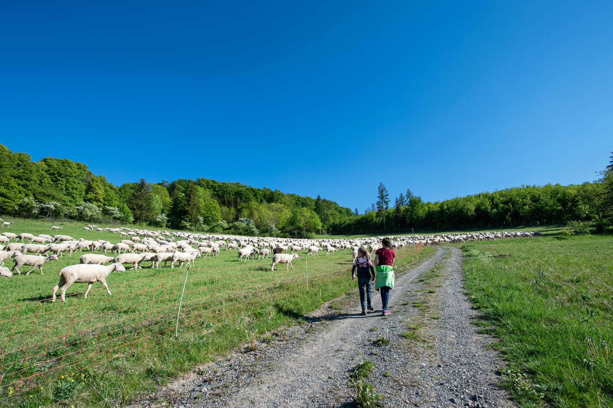
Family paths - on the way with kids in the Rhön
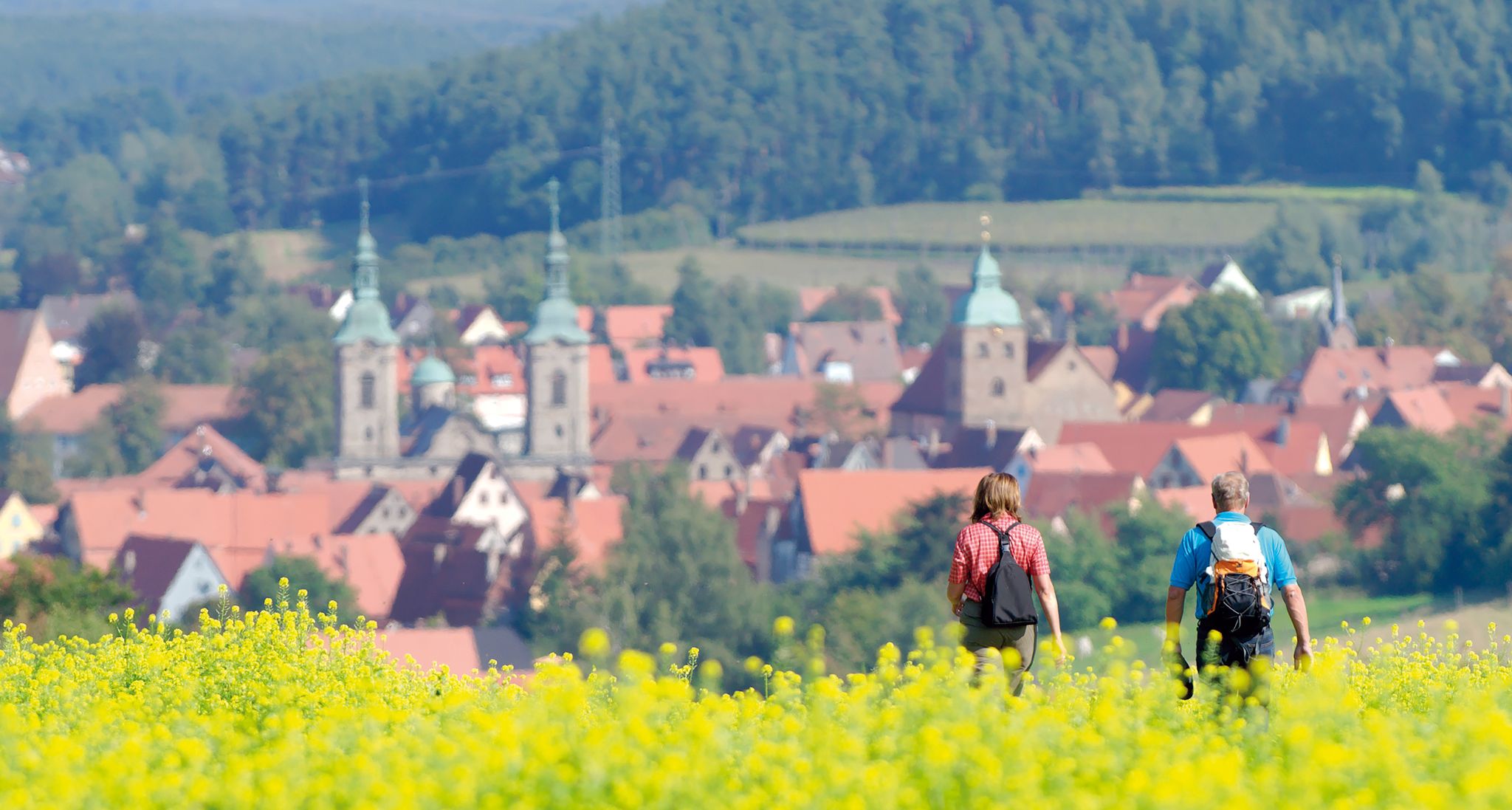
Unforgettable panoramic views — the most beautiful long-distance hikes in Franconia
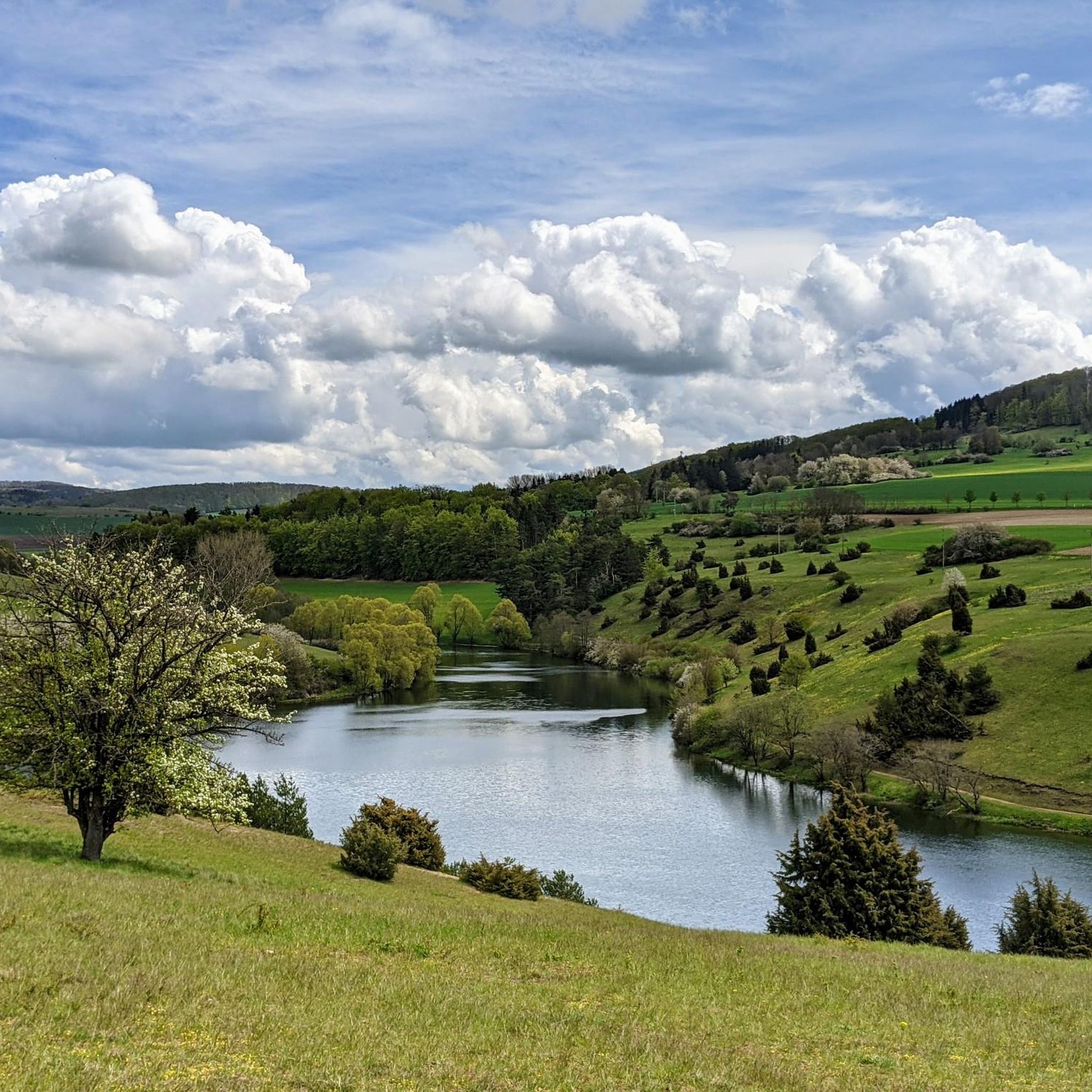
Hiking around Kaltennordheim
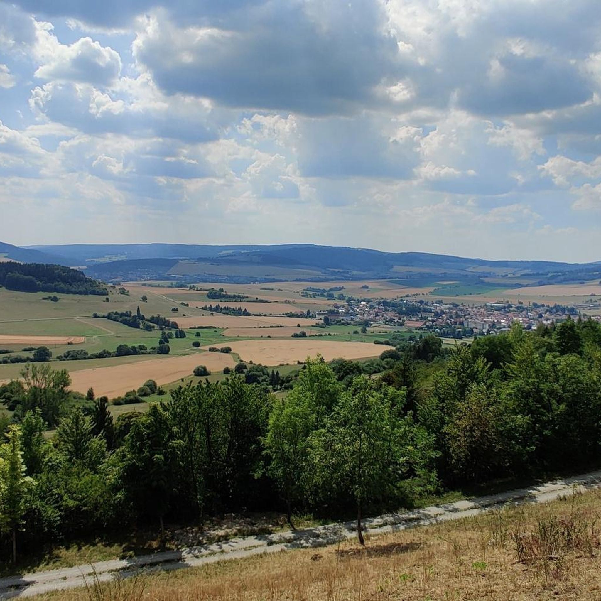
Cycling around Kaltennordheim
MTB Trails around Kaltennordheim
Running Trails around Kaltennordheim

Gravel biking around Kaltennordheim
Other adventures around Kaltennordheim


Tips from the Community

Water feature in Neidhartsha🏞🎡
0
0


Refreshment stop located directly on the cycle path.
0
0
Lost place located directly on the bike path.
0
0

Good road to really get going on a racing bike.
0
0
Great cycle path that connects Breitungen with Wernshausen. Good surface and plenty of space
2
0

A beautiful view of the Werra, which flows here in a gentle bend. Since the Werra flows rather flat and wide here, you can easily observe the bottom and possible fish.
0
0

The Werra Bridge in Schwallungen spans the Werra between the historic centre and the train station district.
6
0
Frequently Asked Questions
How many road cycling routes are available around Kaltennordheim?
There are over 100 road cycling routes available around Kaltennordheim, offering a wide range of options for different skill levels and preferences. The komoot community has extensively mapped and reviewed these routes.
Are there easy road cycling routes suitable for beginners in Kaltennordheim?
Yes, Kaltennordheim offers several easy road cycling routes. For instance, the Old Bridge Stadtlengsfeld loop from Kaltennordheim is a moderate route with gentle hills, making it a good option for those looking for a less strenuous ride.
What are some challenging long-distance road cycling routes in the area?
For experienced cyclists seeking a challenge, the Immelborn pond – Breitunger Lakes loop from Empfertshausen is a demanding 74.2-mile (119.5 km) route that takes you through lake districts and open countryside, often requiring about 5 hours to complete.
When is the best time of year for road cycling in Kaltennordheim?
The best time for road cycling in Kaltennordheim and the Thuringian Rhön region is typically from spring to autumn (April to October). During these months, the weather is generally mild, and the landscapes are vibrant. Winter cycling can be challenging due to colder temperatures and potential snow or ice.
Are there road cycling routes that offer scenic viewpoints?
Absolutely. The region is known for its scenic beauty. The View of Rockenstuhl – Sängerwiese Bermbach loop from Andenhausen provides stunning vistas, including the prominent Rockenstuhl. You can also find routes that pass by viewpoints like the Pleß Tower or the Noah's Segel Observation Tower on the Ellenbogen.
What kind of terrain can I expect on road cycling routes around Kaltennordheim?
Road cycling around Kaltennordheim is characterized by rolling hills, picturesque river valleys, and expansive agricultural landscapes. You'll encounter a mix of open roads and forested sections, providing varied terrain. Elevations are generally moderate, though some routes include longer, more challenging climbs.
Are there any loop routes available for road cyclists?
Yes, many of the road cycling routes around Kaltennordheim are designed as loops, allowing you to start and end at the same point. Examples include the Old Bridge Stadtlengsfeld loop from Kaltennordheim and the View of Kaltennordheim – View of the Rennsteig loop from Kaltennordheim.
What do other road cyclists enjoy most about the routes in Kaltennordheim?
The road cycling routes in Kaltennordheim are highly rated by the komoot community, with an average score of 4.5 stars. Cyclists often praise the varied terrain, the scenic views of the Thuringian Rhön, and the mix of open roads and charming village passages.
Are there any specific landmarks or attractions to look out for along the routes?
Beyond the natural beauty, you can discover several interesting landmarks. Routes might pass by historical structures like the Old Bridge near Stadtlengsfeld or offer views of significant peaks such as the Buchschirmberg summit with its 'Kreuz des Ostens'.
Can you recommend a route that follows a river or valley?
The region features several river valleys. The Feldabahn Cycle Path – Werra Bridge Schwallungen loop from Hohe Rhön incorporates sections along the Feldabahn Cycle Path, which often follows river courses, offering a flatter and scenic experience.
Are there routes suitable for a full day of cycling?
Yes, for a full day out, routes like the Immelborn pond – Breitunger Lakes loop from Empfertshausen, at nearly 75 miles, provide an extensive ride that can easily fill a day, allowing for stops and exploration.
Most popular routes around Kaltennordheim
Most popular attractions around Kaltennordheim

Get inspired with the komoot mobile app


Explore more
Browse the best Road cycling routes in other regions.
