The best hikes from bus stations around Mühlhausen/Thüringen
4.5
(850)
3,523
hikers
207
hikes
Bus station hiking trails around Mühlhausen/Thüringen traverse a landscape characterized by rolling hills, serene river valleys, and extensive woodlands, including parts of the Hainich National Park. The region's varied topography offers a range of experiences, from gentle walks along the Unstrut valley to routes through the Mühlhausen City Forest. Hikers can explore natural features such as karst springs and ancient rock formations. This area provides diverse terrain for outdoor activities.
Best bus station hiking trails around Mühlhausen/Thüringen
- The most popular…
Last updated: July 11, 2026
4.7
(50)
168
hikers
9.89km
02:40
130m
130m
Moderate hike. Good fitness required. Easily-accessible paths. Suitable for all skill levels.
4.7
(29)
117
hikers
6.27km
01:43
90m
90m
Easy hike. Great for any fitness level. Easily-accessible paths. Suitable for all skill levels.

Sign up for free
4.7
(19)
61
hikers
Moderate hike. Good fitness required. Easily-accessible paths. Suitable for all skill levels.
4.8
(51)
151
hikers
Moderate hike. Good fitness required. Easily-accessible paths. Suitable for all skill levels.
3.7
(6)
44
hikers
Moderate hike. Good fitness required. Easily-accessible paths. Suitable for all skill levels.
Get access to more routes and recommendations from other explorers.
Sign up for free
Already have an account?
Our route recommendations are based on thousands of hikes, rides, and runs completed by other people on komoot.
Start today with a free account
Your next adventure awaits.
Login or Signup
Popular around Mühlhausen/Thüringen
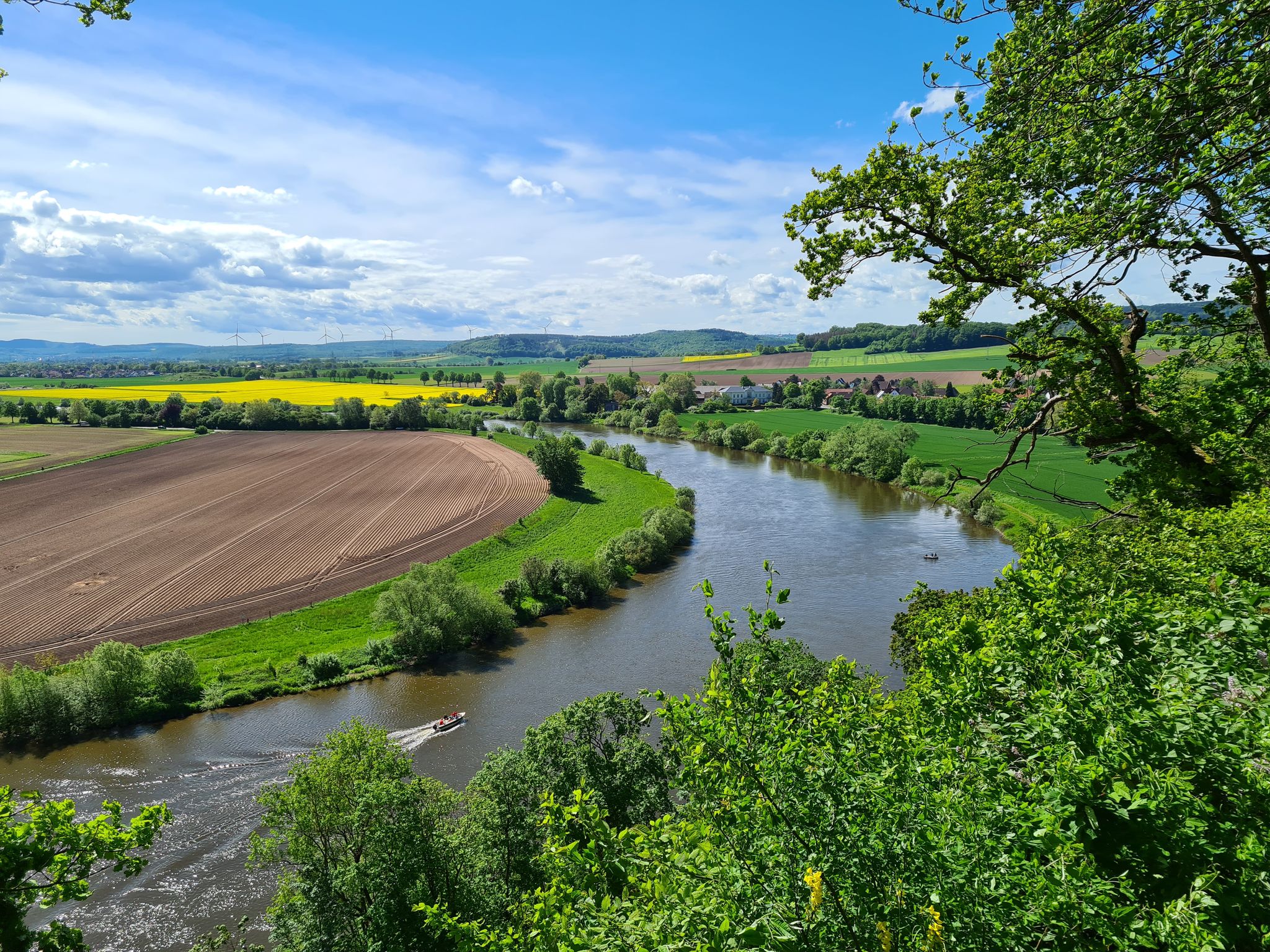
Loccum-Volkenroda pilgrim's way – From monastery to monastery
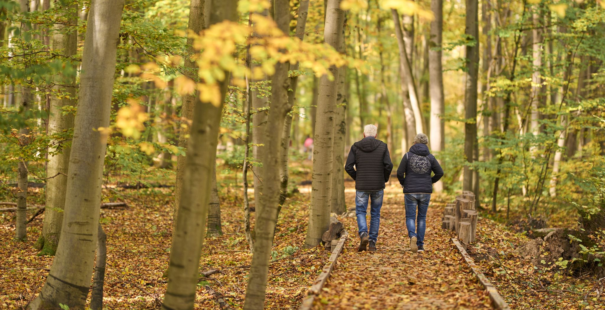
The Waagebalkenweg - in two days through the Hainich
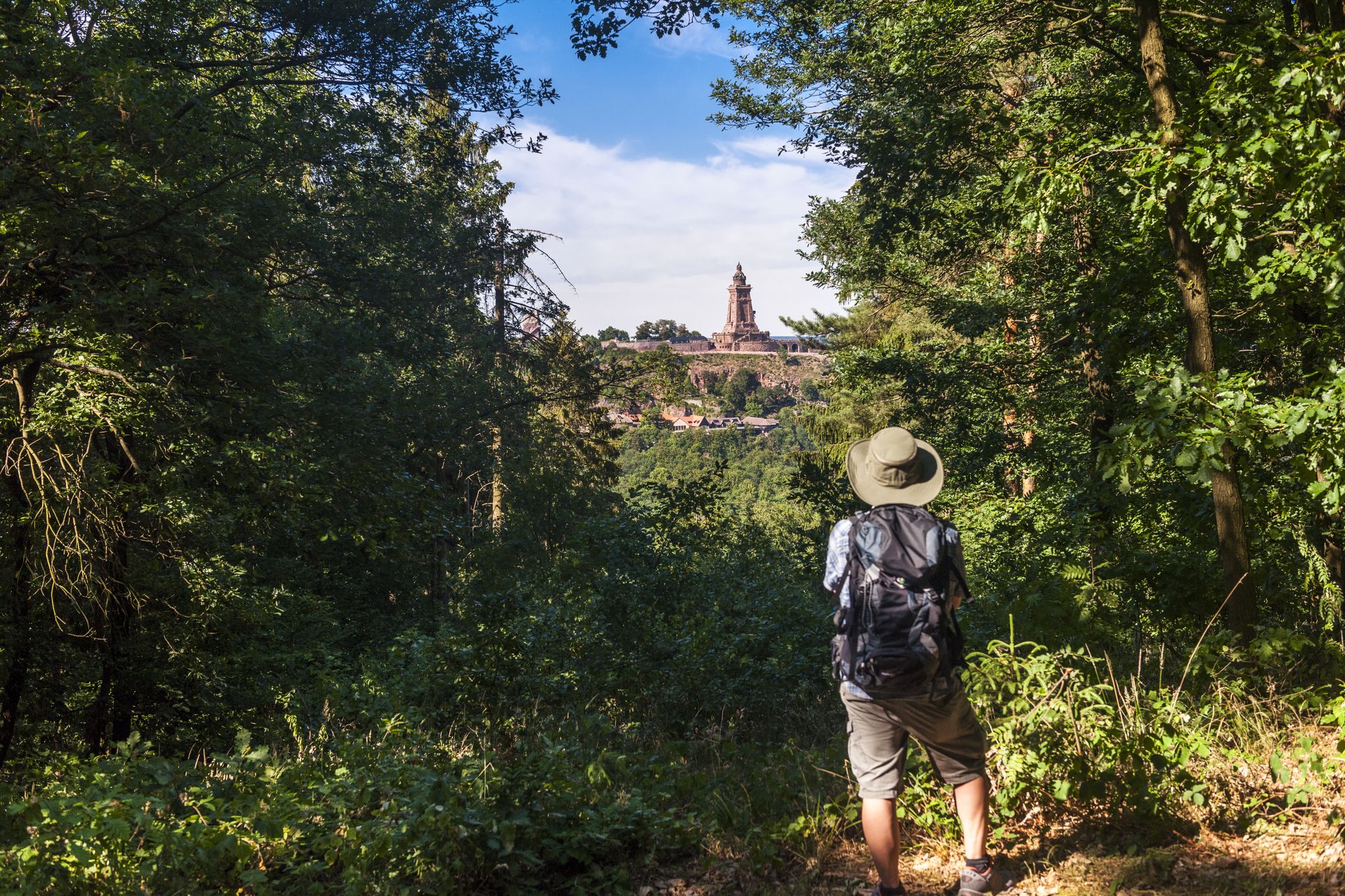
Hiking in Germany’s Kyffhäuser hills – 15 days on the Barbarossa Trail
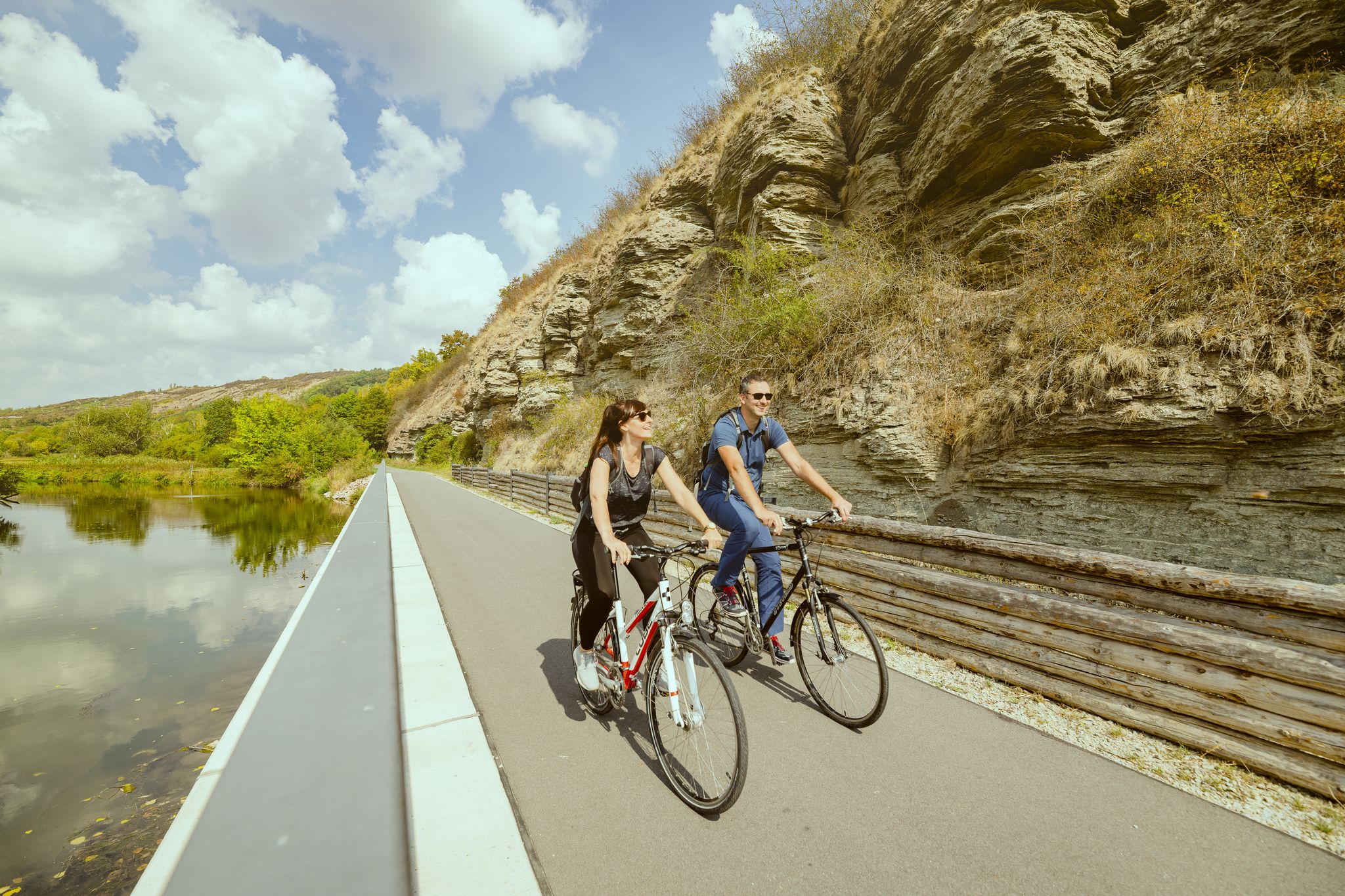
Unstrut Cycle Path – from the source in Eichsfeld to the River Saale
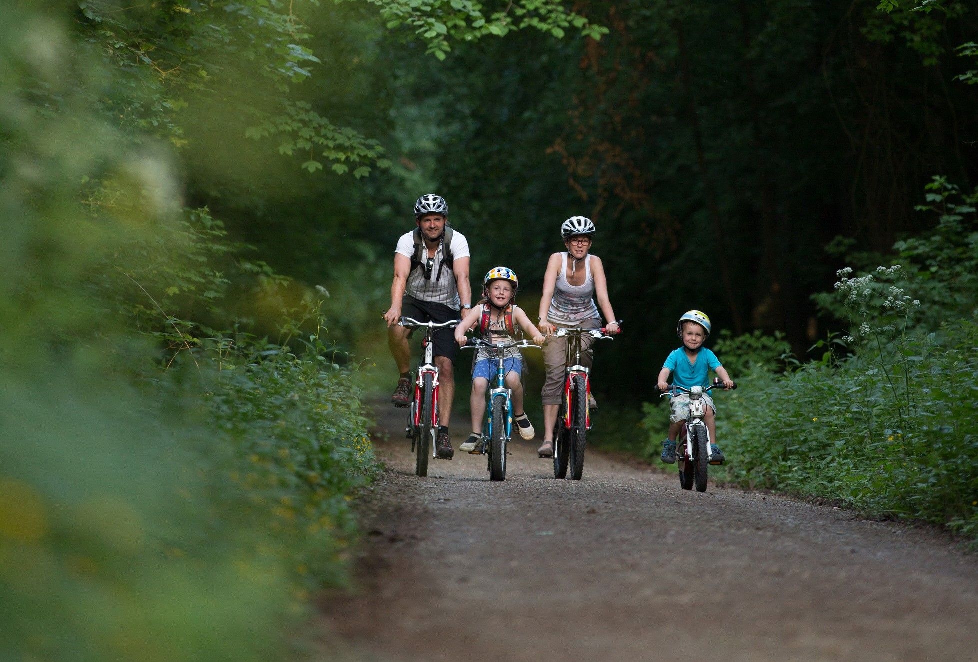
Cycling through Hainich National Park
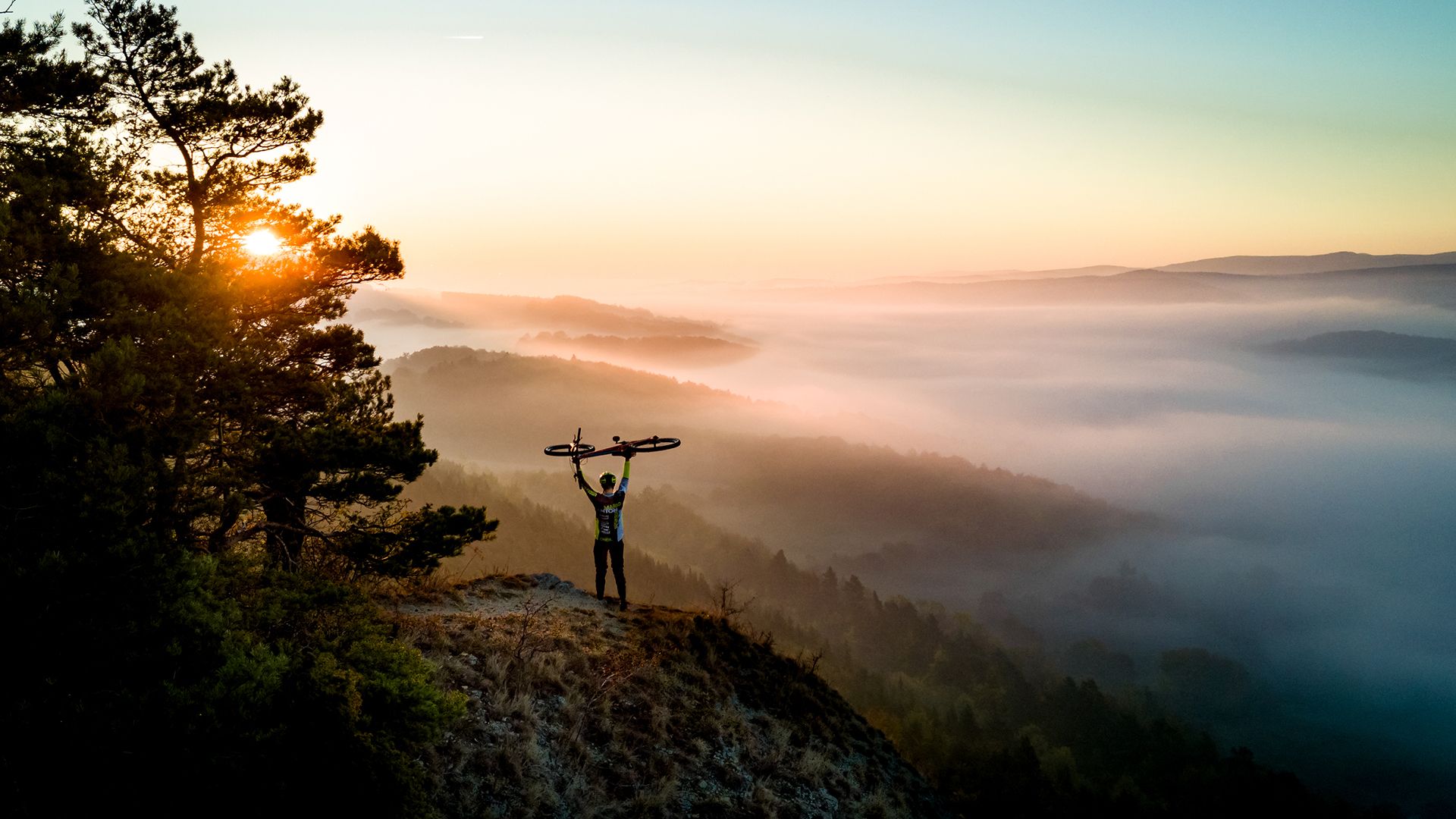
Fast-paced trails and steep summits – outdoors in Thuringia
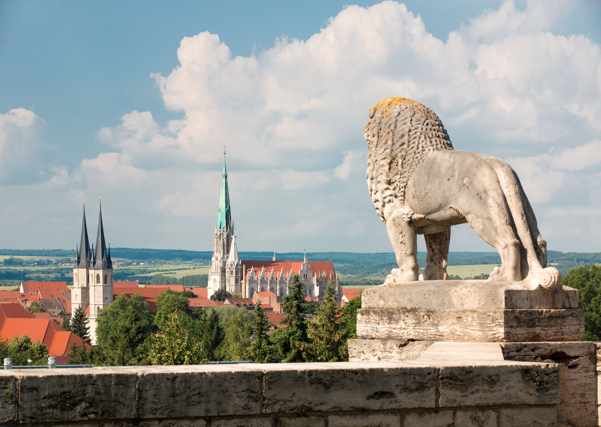
Die schönsten Stadtrundgänge durch die mittelalterliche Stadt Mühlhausen/Thüringen
Other adventures around Mühlhausen/Thüringen


Tips from the Community

Directly below the parking lot.
0
0

The mill was first documented in 1631. In 1679, it was rebuilt and subsequently used as both a tanning mill and a grinding mill. The mill wheel remained until 1958. The building complex still exists today: in 1994, the main building was renovated and converted into residential units. The southern, historic half-timbered building now houses commercial spaces, and a millstone is displayed in front of the building.
1
0

Is the café still open?
0
0
The associated parking lot is on the 1st floor of the "Trabantenhaus"!
1
0

The Grundsloch is not a garden house. There is a spring beneath the building.
0
0

Planted in 1992 by forester Pippert, the small sequoia has already shot up considerably
0
0

The citizens of Mühlhausen can supply themselves with fresh water here
0
0

Avoid in autumn
0
0
Frequently Asked Questions
How many bus station hiking trails are available around Mühlhausen/Thüringen?
There are over 200 hiking routes around Mühlhausen/Thüringen that are easily accessible from bus stations. This includes 154 easy routes, 54 moderate routes, and 8 more challenging options, ensuring a suitable trail for every fitness level.
Are there any easy, family-friendly hikes accessible by bus?
Yes, many routes are suitable for families. For an easy and pleasant walk, consider the Wendel Hut – White House Forest Inn loop from Pfafferode, which is just over 6 km long. The region's diverse landscapes, including the Mühlhausen City Forest, offer numerous gentle paths perfect for all ages.
What kind of natural features can I expect to see along these bus-accessible trails?
The region boasts diverse natural beauty. You can explore dense deciduous forests, rolling hills, and serene river valleys. Notable features include the unique periodic karst spring Popperöder Well House and Spring, and the scenic Werratal Cliffs Near Frankenroda and Falken. Many routes offer views over the Unstrut valley.
Are there any circular routes starting from bus stops?
Yes, many of the bus-accessible trails are circular, allowing you to return to your starting point without retracing your steps. An example is the Playground With Barbecue Area – Wendel Hut loop from Pfafferode, a moderate 9.8 km route. Another option is the Covered Picnic Shelter – Playground With Barbecue Area loop from Dörnaer Platz.
Can I bring my dog on these hiking trails?
Generally, dogs are welcome on most hiking trails in the Mühlhausen/Thüringen area. However, it's always advisable to keep them on a leash, especially in nature reserves, agricultural areas, and near wildlife. Always check local regulations for specific areas like Hainich National Park.
What are some interesting landmarks or points of interest along the bus-accessible routes?
Beyond natural beauty, you can discover historical and cultural landmarks. The region features the Popperöder Well House and Spring, and the Bette Oak. The Mühlhausen City Walls also offer a historical loop trail, though specific bus access points for this particular route would need to be checked locally.
What do other hikers enjoy most about hiking in Mühlhausen/Thüringen?
The area is highly rated by the komoot community, with an average score of 4.6 stars from over 750 ratings. Reviewers often praise the well-maintained trails, the diverse landscapes ranging from forests to river valleys, and the accessibility of many routes via public transport.
Are there any longer, more challenging bus-accessible hikes?
While many routes are easy to moderate, there are some longer options. For instance, the Playground With Barbecue Area – Mittelmühle Historic Mill loop from Mühlhausen/Thüringen is a moderate 17.1 km hike that offers a more extended experience. The region also features 8 routes classified as difficult for those seeking a greater challenge.
Are there places to eat or rest near bus-accessible trailheads?
Many routes pass through or near districts and villages where you can find local cafes, restaurants, or traditional inns. The region's focus on tourism means amenities are often available, especially in and around Mühlhausen itself and its surrounding communities. Look for routes that start or end in populated areas for convenient access to refreshments.
What is the best time of year to hike around Mühlhausen/Thüringen using bus access?
Spring and autumn are particularly beautiful, with vibrant foliage or blooming wildflowers. Summer offers pleasant conditions for longer days on the trails. Even winter can be appealing, especially in areas like Hainich National Park, which transforms into a snowy landscape suitable for winter walks, provided you are prepared for the conditions.
Are there any routes that offer good viewpoints of the Unstrut valley?
Yes, several routes provide excellent vistas over the Unstrut valley. The region's rolling hills naturally lend themselves to scenic overlooks. While specific viewpoint names are not always listed, many trails traversing the higher elevations will offer panoramic views of the river and surrounding landscape.
Most popular routes around Mühlhausen/Thüringen
Most popular attractions around Mühlhausen/Thüringen

Get inspired with the komoot mobile app


Explore more
Browse the best Hikes in other regions.
