The best hikes from bus stations around Tabarz
4.6
(19342)
62,986
hikers
97
hikes
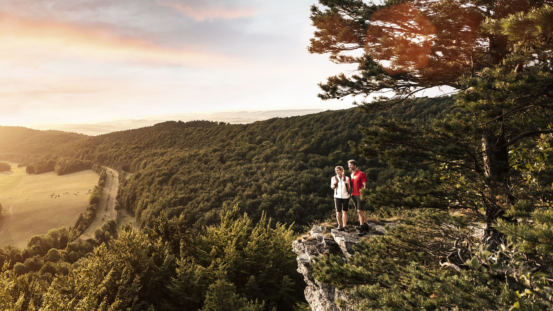
Bus station hiking trails around Tabarz offer access to the diverse landscapes of the Thuringian Forest, characterized by dense woodlands, rolling hills, and significant geological features. The region's terrain includes the prominent Großer Inselsberg, a 916.5-meter peak, and the Lauchagrund, a ravine known for its rock formations. Evidence of a volcanic past is visible along some routes, contributing to varied rock formations and elevations. These physical features create a range of hiking experiences accessible directly from public transport hubs.
Best…
Last updated: October 14, 2026
4.8
(1522)
4,222
hikers
11.9km
03:38
360m
360m
Moderate hike. Good fitness required. Mostly accessible paths. Sure-footedness required.
4.7
(345)
1,060
hikers
14.0km
04:25
530m
530m
Moderate hike. Good fitness required. Mostly accessible paths. Sure-footedness required.

4.8
(252)
799
hikers
8.87km
02:35
210m
210m
Moderate hike. Good fitness required. Mostly accessible paths. Sure-footedness required.
4.7
(97)
336
hikers
4.66km
01:31
180m
180m
Moderate hike. Great for any fitness level. Mostly accessible paths. Sure-footedness required.
4.8
(99)
317
hikers
10.5km
03:33
480m
480m
Moderate hike. Good fitness required. Mostly accessible paths. Sure-footedness required.
Get access to more routes and recommendations from other explorers.
Already have an account?
Our route recommendations are based on thousands of hikes, rides, and runs completed by other people on komoot.
Start today with a free account
Your next adventure awaits.


Other adventures around Tabarz


Tips from the Community

Not entirely safe in snow and ice, make sure to hold on to the chain railing.
0
0


A great rock formation.👍🏻
1
0
Impressive rock formation.👍🏻
0
0


On the way back, we went this way. The path itself is very difficult to walk. Good and sturdy shoes are definitely recommended here. But it is worth walking the path.
1
0

From here, you can see the Inselberg with its observation tower. The tower stands on the Großer Inselberg, which reaches a height of 916.5 meters. It is considered one of the most striking peaks in the Thuringian Forest.
0
0
Frequently Asked Questions
How many hiking trails are accessible from bus stations around Tabarz?
There are over 90 hiking trails around Tabarz that are easily accessible from bus stations, offering a wide range of options for all skill levels.
What is the best time of year to hike from Tabarz bus stations?
The best seasons for hiking in Tabarz are typically spring and autumn. During these times, the forests display vibrant colors, and the climate is pleasantly mild, making for ideal hiking conditions.
Are there easy hiking trails accessible from Tabarz bus stations?
Yes, Tabarz offers a good selection of easy hiking trails. You'll find approximately 27 routes categorized as easy, perfect for a leisurely stroll or for beginners. Many of these are well-marked and suitable for a relaxed day out.
Can I find circular hiking routes starting from Tabarz bus stations?
Absolutely. The region is known for its excellent circular routes. For example, the Great Inselsberg – Torstein Rock Arch loop from Bad Tabarz is a popular moderate option that brings you back to your starting point.
Are there family-friendly hiking options from Tabarz bus stations?
Yes, Tabarz is a great destination for families. Many trails are suitable for children, and the region even features child-friendly routes, including a fairytale trail. Look for easier, shorter loops that offer engaging natural features.
Are dogs allowed on hiking trails accessible by bus in Tabarz?
Generally, dogs are welcome on hiking trails in the Thuringian Forest. However, it's always advisable to keep them on a leash, especially in nature reserves or areas with wildlife, and to respect local signage. Please ensure you clean up after your pet.
What kind of views or viewpoints can I expect on these bus-accessible hikes?
You can expect breathtaking panoramic views, especially from higher elevations like the Großer Inselsberg. On clear days, you might even see as far as the Rhön and Harz Mountains. The Bad Tabarz summit and panoramic tour is particularly renowned for its unforgettable vistas.
Are there any waterfalls near the bus station hiking trails in Tabarz?
Yes, the region boasts several beautiful waterfalls. You can explore highlights such as the Trusetal Waterfall or the Spitterfall, both offering picturesque natural scenery. Some routes might pass close to these natural attractions.
What are some notable natural features or landmarks to explore on these routes?
The region is rich in natural wonders. Don't miss the Großer Inselsberg, the highest peak in the western Thuringian Forest. The wildly romantic Lauchagrund valley, with its bizarre rock formations, is also a highlight. You can also find evidence of the region's volcanic past along trails like the Tabarz Volcano Trail.
What do other hikers say about the bus station trails in Tabarz?
The trails around Tabarz are highly rated by the komoot community, with an average score of 4.6 stars from over 15,000 ratings. Reviewers often praise the diverse and intact natural landscapes, the well-maintained paths, and the stunning panoramic views from various points along the routes.
Are there any longer, more challenging routes from Tabarz bus stations?
Yes, for those seeking a challenge, there are several moderate to difficult routes. For instance, the Torstein Rock Arch – Great Inselsberg loop from Kleiner Wagenberg offers significant elevation changes and requires good fitness, rewarding hikers with expansive views.
Can I find trails that highlight the region's volcanic past?
Indeed! The region has a fascinating volcanic history. The Großer Inselsberg itself is the remains of a volcanic crater. You can explore trails like the Tabarz Volcano Trail, which showcases impressive rock formations and geological evidence of tremendous volcanic eruptions from millions of years ago.
Most popular routes around Tabarz
Most popular attractions around Tabarz

Get inspired with the komoot mobile app


Explore more
Browse the best Hikes in other regions.
