The best running trails around Tabarz
4.6
(33)
517
runners
57
runs
Jogging around Tabarz offers diverse landscapes within the Thuringian Forest, providing a natural setting for outdoor activities. The region is characterized by dense woodlands, prominent hills like the Großer Inselsberg, and picturesque ravines such as the Lauchagrund. Its geological past, marked by volcanic activity, has shaped varied terrain suitable for different running preferences.
Best jogging routes around Tabarz
- The most popular jogging route is Friedrichroda Spa Park – Marienglashöhle Friedrichroda loop from Bad Tabarz, a 5.6 miles (9.1 km)…
Last updated: October 8, 2026
5.0
(2)
43
runners
Moderate run. Good fitness required. Mostly paved surfaces. Suitable for all skill levels.
5.0
(4)
47
runners
Moderate run. Good fitness required. Mostly paved surfaces. Suitable for all skill levels.

4.0
(4)
16
runners
8.88km
01:00
160m
160m
Moderate run. Good fitness required. Mostly paved surfaces. Suitable for all skill levels.
5.0
(1)
26
runners
7.91km
00:56
180m
180m
Moderate run. Good fitness required. Mostly paved surfaces. Suitable for all skill levels.
4.3
(3)
15
runners
10.7km
01:11
160m
160m
Moderate run. Good fitness required. Mostly paved surfaces. Suitable for all skill levels.
Get access to more routes and recommendations from other explorers.
Already have an account?
Our route recommendations are based on thousands of hikes, rides, and runs completed by other people on komoot.
Start today with a free account
Your next adventure awaits.
Popular around Tabarz

Forest, vastness and water – day trips in the Thuringian Forest
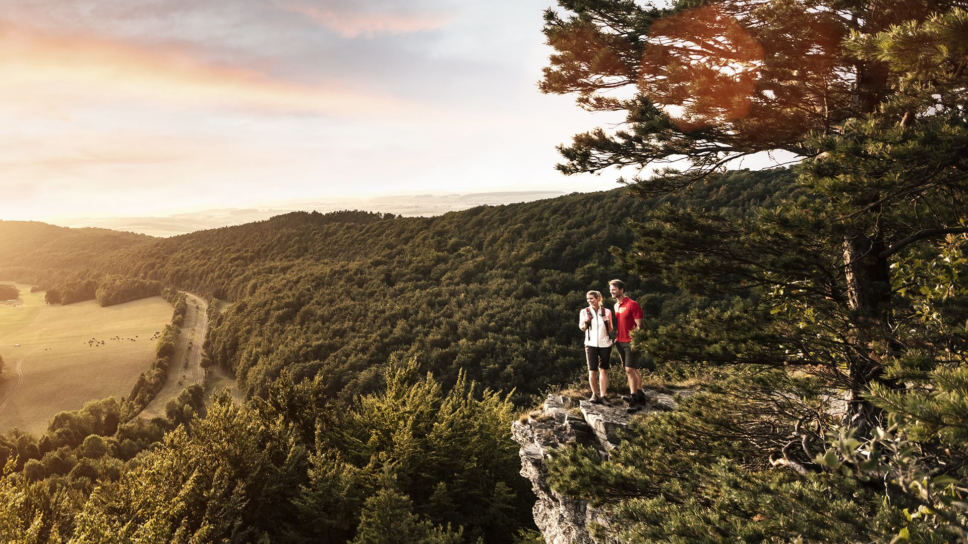
Spend time outdoors – active hikes in Germany’s Thuringia
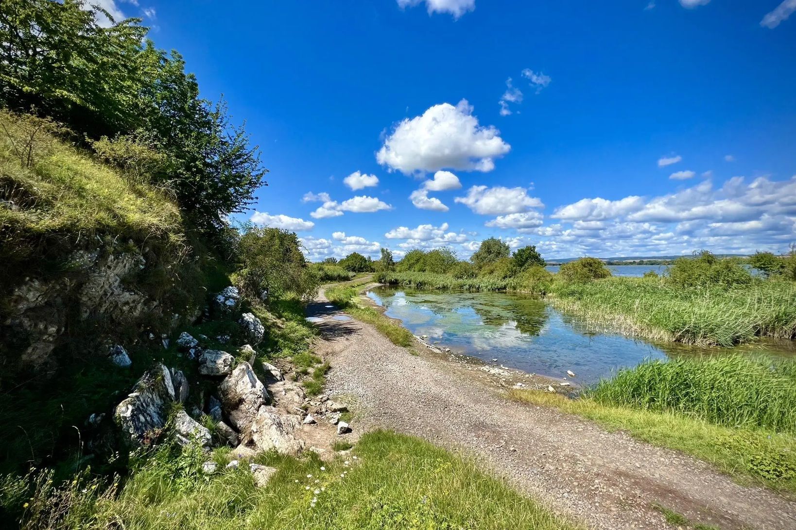
Die Nationalen Naturlandschaften in Thüringen

Mountainbike Rundstrecken Thüringer Wald mit Community Paten
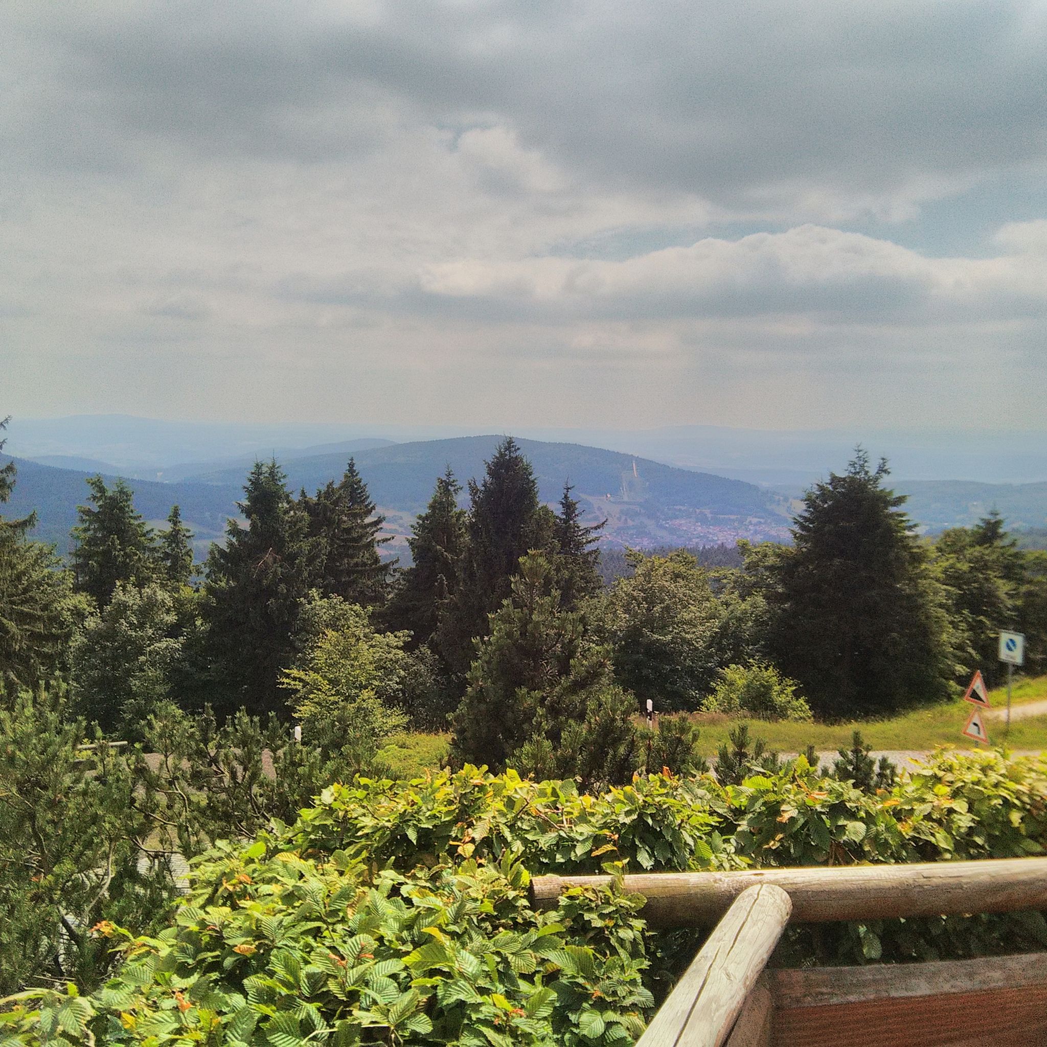
Hiking around Tabarz
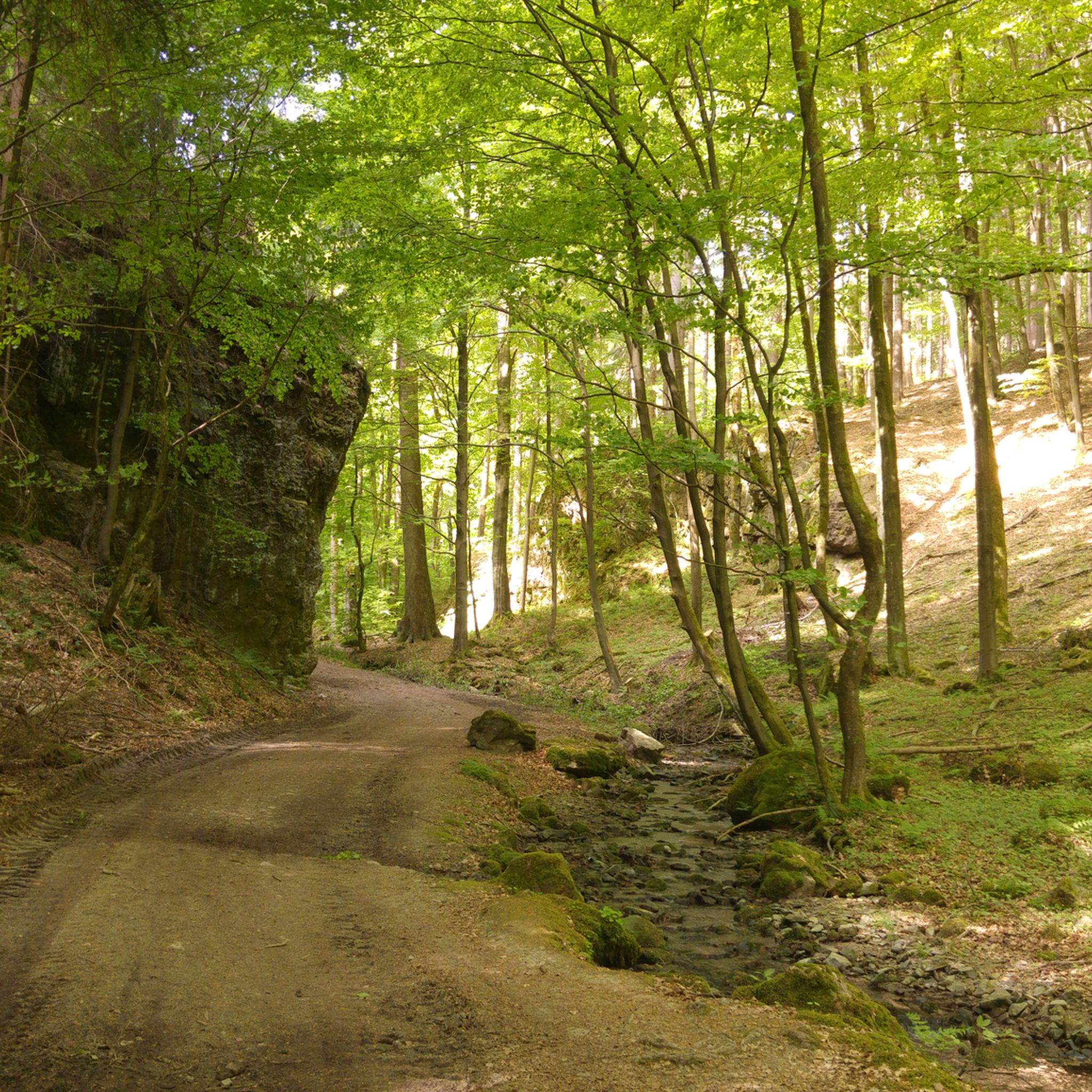
MTB Trails around Tabarz
Cycling around Tabarz
Road Cycling Routes around Tabarz

Gravel biking around Tabarz

Mountain Hikes around Tabarz
Other adventures around Tabarz


Tips from the Community

Straight ahead, it passes the Marienglashöhle cave and goes to Friedrichroda. To the left, it passes the parking lot and goes to the Reinhardsbrunner ponds.
0
0

Käte Duncker grew up in Friedrichroda and attended the girls' high school there, later she taught in Friedrichroda until 1895 as a teacher.
5
0
A beautiful park in Friedrichroda, with many opportunities for recreation.
7
0
The outdoor swimming pool of Friedrichroda.
4
0


At the cafe there is delicious cake
0
0


Here you can cool your feet in the water after a hike. There's also a barefoot path on the grounds, and you can also see dinosaurs here...a place to relax and unwind...
3
0
Frequently Asked Questions
How many running routes are available in Tabarz?
Tabarz offers a wide selection of running and jogging routes, with over 60 options documented on komoot. These routes cater to various fitness levels, from easy park loops to challenging mountain climbs within the Thuringian Forest.
Are there easy jogging routes suitable for beginners or families in Tabarz?
Yes, Tabarz has several easy running routes perfect for beginners or families. For a relaxed jog, consider the Kurpark at Bad Tabarz Town Hall – Luther Fountain loop from Bad Tabarz, which is a moderate 5.5 km trail through the town's spa park. There are at least two easy routes available, offering gentle terrain and minimal elevation gain.
What kind of natural landscapes can I expect to see while running in Tabarz?
Jogging in Tabarz immerses you in the diverse landscapes of the Thuringian Forest. You'll encounter dense woodlands, prominent hills like the Großer Inselsberg, and picturesque ravines such as the 'wildly romantic' Lauchagrund with its unique rock formations. The region's volcanic history also means you might run through areas shaped by ancient eruptions, offering varied terrain.
Are there any circular running routes in Tabarz?
Many of the running routes in Tabarz are circular, allowing you to start and finish at the same point. An example is the Friedrichroda Spa Park – Marienglashöhle Friedrichroda loop from Bad Tabarz, a moderate 9.1 km trail. The 'Tabarz Volcano Trail' (GeoRoute 8) is also an approximately 11 km circular trail that explores the area's geological past.
What are some notable landmarks or attractions I might encounter on a run?
While running in Tabarz, you can discover several interesting landmarks. The Great Inselsberg, one of Thuringia's highest mountains, offers rewarding views. You might also pass through the Lauchagrund with its 'bizarre rock formations' or see the Bärenbruchsgraben Gorge. The Red Tower is another natural monument in the vicinity.
Are there any routes that offer challenging trail running experiences?
Absolutely. For experienced trail runners seeking a challenge, Tabarz provides difficult routes with significant elevation changes. The Aschenbergstein Summit Cross – Backofenloch Cave loop from Bad Tabarz is a difficult 14.7 km path with substantial climbs. Another demanding option is the Great Inselsberg – Vordernstein Shelter loop from Bad Tabarz, spanning over 28 km with nearly 1000 meters of ascent.
What do other runners say about the jogging routes in Tabarz?
The running routes in Tabarz are highly regarded by the komoot community, holding an average rating of 4.6 stars from over 20 reviews. Runners often praise the diverse terrain, the tranquility of the Thuringian Forest, and the well-maintained paths that cater to various preferences.
Can I access the famous Rennsteig trail from Tabarz for a longer run?
Yes, the Rennsteig, Germany's oldest and most popular high-altitude hiking trail, is easily accessible from Tabarz. Sections of this extensive trail can be incorporated into your run for a longer, more challenging trail running experience, offering a classic Thuringian outdoor adventure.
Are there any routes that feature waterfalls or lakes?
While jogging directly through waterfalls might be challenging, you can find routes that lead to or near them. The Trusetal Waterfall and Luisenthal Waterfall are notable natural monuments in the broader area. For lakes, the Ebertswiese Mountain Lake is a beautiful spot you might encounter on longer routes, such as the Spitterblick Viewpoint – Mountain lake at the Ebertswiese loop from Kleiner Wagenberg.
What is the best time of year to go jogging in Tabarz?
Tabarz offers excellent jogging conditions throughout much of the year. Spring and autumn provide pleasant temperatures and vibrant scenery with changing foliage. Summer is also popular, with the dense forest offering shade. Even in winter, some routes may be accessible, though conditions can vary with snow, especially on higher elevations.
Are there any routes that offer great viewpoints of the Thuringian Forest?
Many routes in Tabarz provide stunning viewpoints. The Großer Inselsberg, for instance, offers panoramic vistas. The 'Gipfel- und Aussichtstour' (Summit and View Tour), recognized as 'Germany's most beautiful day hike' in 2022, is an 11 km trail known for its numerous viewpoints across the Thuringian Forest, making it an excellent choice for a scenic run.
Most popular routes around Tabarz
Most popular attractions around Tabarz

Get inspired with the komoot mobile app


Explore more
Browse the best Running Trails & Routes in other regions.
