The best hikes from bus stations around Mengen
4.6
(10185)
37,081
hikers
25
hikes
Bus station hiking trails around Mengen are characterized by diverse natural landscapes, including picturesque river valleys and extensive forested regions. The area features distinctive rock formations and offers expansive views of the Danube Valley. These trails often wind through natural parkland and along riverbanks, providing varied terrain for outdoor activities.
Best bus station hiking trails around Mengen
- The most popular bus station hiking route is Steidlesee – Zielfinger Vogelsee loop from Zielfinger Vogelsee, a 3.8 miles (6.2 km) trail that takes 1 hour 34 minutes to complete, passing by scenic lakes and natural areas.
- Another top favourite among local hikers is Strandbad Krauchenwies – Zielfingen Lakes loop from Rulfingen, a moderate 7.1 miles (11.5 km) path, winding through lakeside environments and offering views of the surrounding nature.
- Local hikers also love the Strandbad Krauchenwies – Zielfingen Lakes loop from Zielfinger Vogelsee, a 4.5 miles (7.2 km) trail leading through natural parkland and along the lakes, often completed in about 1 hour 54 minutes.
- Hiking around Mengen is defined by river valleys, extensive forested regions, and distinctive rock formations. The network offers options for easy and moderate ability levels, catering to various hiking preferences.
- The routes in Mengen are highly rated by the komoot community with an average score of 4.6 stars from over 8,800 reviews. More than 36,000 hikers have used komoot to explore Mengen's varied terrain.
Last updated: August 21, 2026
4.5
(38)
148
hikers
Easy hike. Great for any fitness level. Easily-accessible paths. Suitable for all skill levels.
4.4
(8)
46
hikers
11.5km
03:00
90m
90m
Moderate hike. Good fitness required. Easily-accessible paths. Suitable for all skill levels.

Sign up for free
4.6
(5)
16
hikers
Easy hike. Great for any fitness level. Easily-accessible paths. Suitable for all skill levels.
5.0
(2)
10
hikers
8.79km
02:14
20m
20m
Moderate hike. Good fitness required. Easily-accessible paths. Suitable for all skill levels.
4.0
(3)
17
hikers
9.46km
02:30
90m
90m
Moderate hike. Good fitness required. Easily-accessible paths. Suitable for all skill levels.
Get access to more routes and recommendations from other explorers.
Sign up for free
Already have an account?
Our route recommendations are based on thousands of hikes, rides, and runs completed by other people on komoot.
Start today with a free account
Your next adventure awaits.
Login or Signup
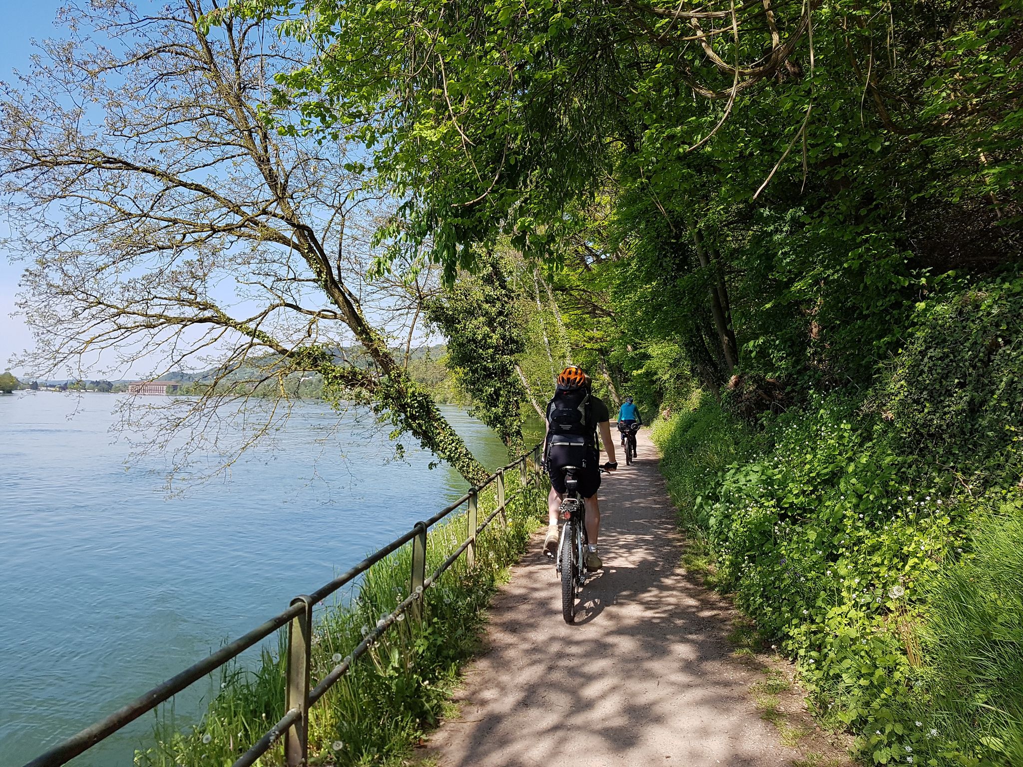
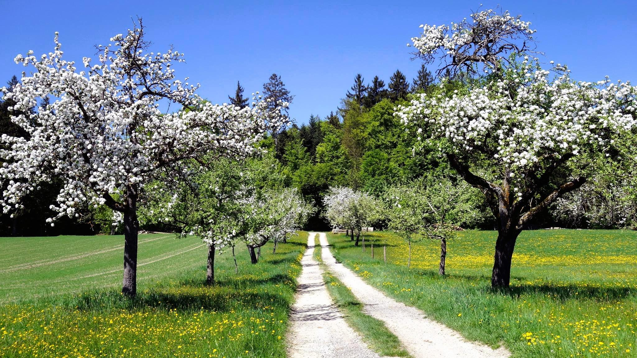


Tips from the Community

Wonderful spectacle 🤩 Two benches to linger ☺️
0
0
A "observation wooden wall" for photographing/filming 📸🎥 or simply for watching and enjoying🦢🦆🌾
0
0
Great atmosphere 🤗 right on the lake 🌊 Italian/Swabian cuisine and coffee/cake 🍽️🍰☕ Very delicious 😋 Free parking 🚗
0
0

The Ablach river flows here through a collection of gravel pit lakes – the Ablach Lakes. At this weir, some of the water is diverted into a canal.
0
0

No more wooden boards blocking the drain... the water simply flows away...
0
0

Invites you to linger
1
0

If you want flowers, you should have the right amount of money with you. There is no change there.
0
0

Very nice outdoor pool with a good restaurant and a very friendly, helpful owner. Prices are fair and the food is good!
0
0
Frequently Asked Questions
How many bus station hiking trails are available around Mengen?
There are over 20 bus station hiking trails around Mengen, offering a variety of options for different preferences and fitness levels. These routes are designed for easy access via public transport.
What kind of terrain can I expect on bus station hikes near Mengen?
The bus station hikes around Mengen feature diverse terrain, including picturesque river valleys, extensive forested regions, and trails along the banks of the Danube. You'll find paths winding through lush landscapes, with some routes offering views of distinctive rock formations.
Are there easy hiking options accessible from bus stations in Mengen?
Yes, there are plenty of easy hiking options. Approximately half of the available bus station routes are rated as easy. For example, the Steidlesee – Zielfinger Vogelsee loop from Zielfinger Vogelsee is an easy 6.2 km route, perfect for a relaxed outing. Another easy option is the Strandbad Krauchenwies – Zielfingen Lakes loop from Zielfinger Vogelsee, covering 7.2 km.
What do other hikers say about the bus station trails around Mengen?
The bus station hiking trails around Mengen are highly regarded by the komoot community, with an average rating of 4.6 out of 5 stars from over 8,800 reviews. Hikers frequently praise the scenic beauty of the lake areas and the accessibility of the trails from public transport hubs.
Are there family-friendly hiking routes from bus stations in Mengen?
Many of the easy and moderate routes are suitable for families. The flat terrain around the lakes, such as the Steidlesee – Zielfinger Vogelsee loop from Zielfinger Vogelsee, provides a pleasant experience for all ages. The region's parks, like Donaupark and Fürstlicher Park Inzigkofen, also offer accessible paths for family outings.
Can I bring my dog on these bus station hiking trails?
Generally, dogs are welcome on the hiking trails around Mengen. The natural landscapes, including river valleys and forested areas, offer great opportunities for walks with your canine companion. Always remember to keep your dog on a leash where required and clean up after them.
Are there circular hiking routes available from bus stations?
Yes, many of the bus station hikes are designed as circular routes, allowing you to start and end at the same point without needing to retrace your steps. Examples include the Strandbad Krauchenwies – Zielfingen Lakes loop from Rulfingen and the Zielfinger Vogelsee – Zielfingen Lakes loop from Rulfingen.
What natural features or landmarks can I see on bus station hikes?
You can discover several natural features and landmarks. The region is known for its impressive rock formations, such as the Amalien Rock, and offers breathtaking panoramas of the Danube Valley. You might also encounter highlights like the View of Sigmaringen Castle and the Danube or the Ruins of Gebrochen Gutenstein.
Are there any lakes or water features along these bus station trails?
Absolutely. The region around Mengen is rich in water features. Many trails lead to or around beautiful lakes, such as the Zielfingen Lakes, Jettkofen Quarry Lake, and Schwarzachtalseen Recreation and Leisure Center. The Donaupark also offers scenic views along the Danube River.
What are some longer, more challenging bus station hikes around Mengen?
For those seeking a longer challenge, there are several moderate routes available. The Strandbad Krauchenwies – Zielfingen Lakes loop from Rulfingen is a moderate 11.5 km hike, while the Zielfinger Vogelsee – Zielfingen Lakes loop from Rulfingen offers a 12 km moderate trek, both providing extended exploration of the area.
Are there places to eat or drink near the bus station hiking trails?
Yes, you'll find options for refreshments. Some routes, like the Bohner Corn Maze Entrance – Haus am See Café & Restaurant loop from Rulfingen, pass by cafes and restaurants, allowing you to refuel during or after your hike. The towns and villages accessible by bus also offer various dining establishments.
What is the best time of year to hike from Mengen's bus stations?
Mengen offers pleasant hiking experiences throughout much of the year. Spring and autumn provide comfortable temperatures and beautiful scenery with blooming flowers or vibrant fall foliage. Summer is also popular, especially around the lakes, but be prepared for warmer weather. Even winter can be appealing for crisp, clear walks.
How long do the bus station hiking trails typically take?
The duration of the bus station hiking trails varies depending on the route and your pace. Easy routes, like the 6.2 km Steidlesee – Zielfinger Vogelsee loop, can take around 1.5 to 2 hours. Longer, moderate routes, such as the 12 km Zielfinger Vogelsee – Zielfingen Lakes loop, might take 3 to 4 hours to complete.
Most popular routes around Mengen
Most popular attractions around Mengen

Get inspired with the komoot mobile app


Explore more
Browse the best Hikes in other regions.
