The best traffic-free bike rides around Burladingen
4.7
(139)
679
riders
8
rides
No traffic road cycling routes around Burladingen are situated at the base of the Swabian Alb, a low mountain range characterized by rolling hills and varied topography. The region features a landscape shaped by ancient volcanic activity, offering diverse terrain for road cyclists. River valleys, such as those formed by the Lauter and Lauchert rivers, provide tranquil paths, while higher elevations offer panoramic views over the Killertal and towards distant landmarks.
Best no traffic road cycling routes around Burladingen
- The…
Last updated: October 14, 2026
4.9
(10)
24
riders
Moderate road ride. Good fitness required. Mostly well-paved surfaces and easy to ride.
5.0
(1)
20
riders
Moderate road ride. Good fitness required. Some segments of this route may be unpaved and difficult to ride.

5.0
(17)
10
riders
Moderate road ride. Good fitness required. Mostly well-paved surfaces and easy to ride.
5.0
(1)
4
riders
60.0km
02:44
670m
670m
Moderate road ride. Good fitness required. Mostly well-paved surfaces and easy to ride.
5.0
(20)
5
riders
46.0km
02:23
610m
610m
Moderate road ride. Good fitness required. Mostly well-paved surfaces and easy to ride.
Get access to more routes and recommendations from other explorers.
Already have an account?
Our route recommendations are based on thousands of hikes, rides, and runs completed by other people on komoot.
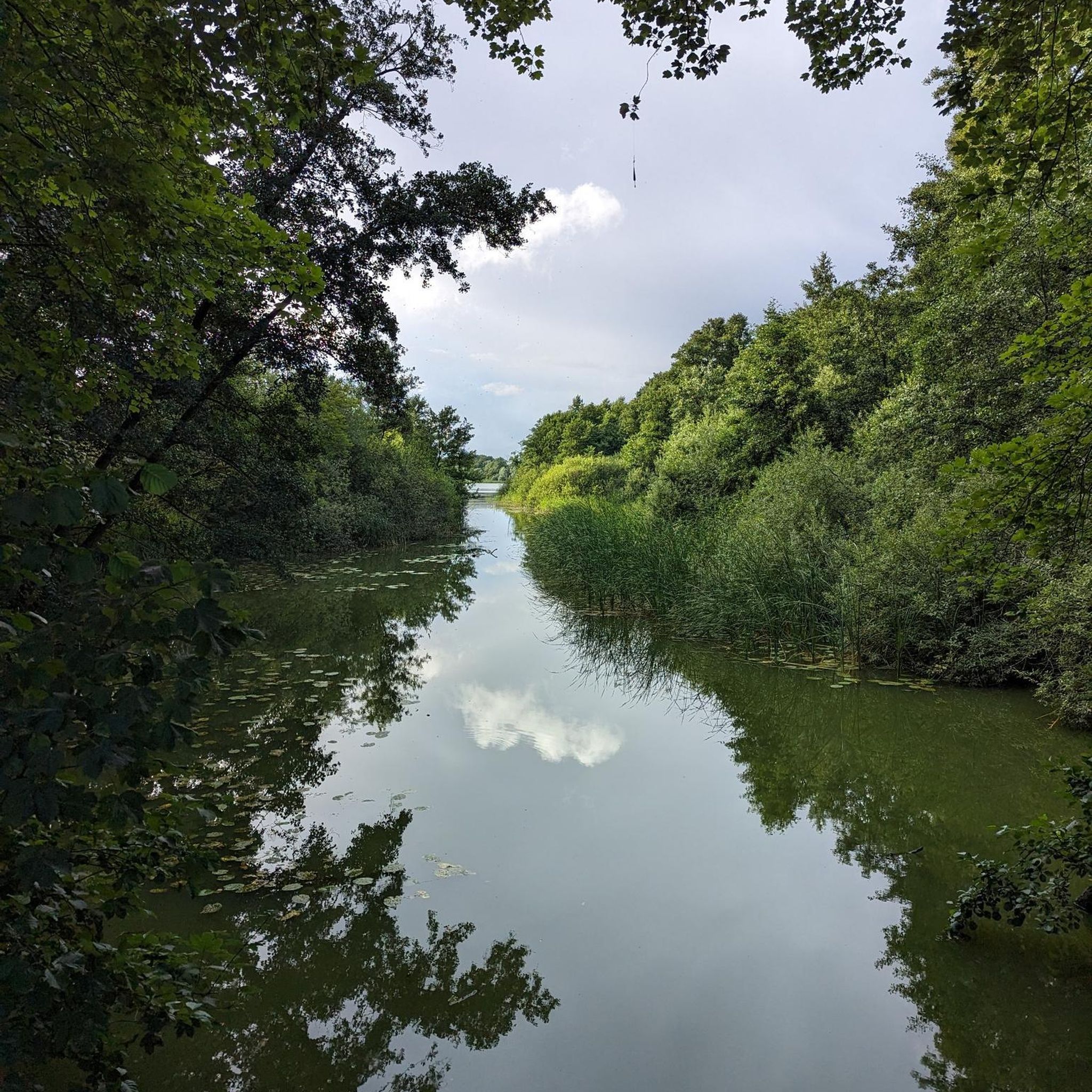
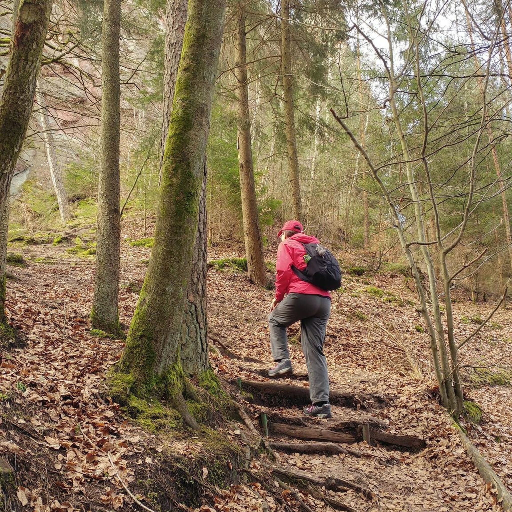
Other adventures around Burladingen


Tips from the Community

The St. Anna Chapel on the Kornberg, simply epic!
3
0

The view of the Kornbühlkapelle (Salmendinger Kapelle) is captivating due to its striking location on the Kornbühl and the charming panorama of the Swabian Jura. Only accessible on foot!
0
0

Melchingen lies on the European watershed between the catchment areas of the Rhine and the Danube. The Lauchert is particularly known for its abundance of trout due to the clean water. At the source in Melchingen, there is a plaque with all important information about the Lauchert and the source. The Lauchert is a tributary of the Danube. Thus, a waterway begins at this source that ends in the Black Sea. The origin of the Lauchert, as is often the case with streams, cannot be precisely determined at a single point. Of the most frequently mentioned sources, the one that forms in the Frenzental, east of the Burladingen sub-municipality of Melchingen, at an altitude of about 760 m, is the only one that provides continuously flowing water. The municipality of Melchingen is located directly on the European watershed. This means that the northern municipal areas drain via the Neckar to the Rhine and the North Sea. The Lauchert, on the other hand, flows into the Danube after 56 km in Sigmaringendorf and from there, after another 2,600 km, into the Black Sea.
5
0

The Werdenberg Castle, also called Werdenbergschloss, is a Renaissance castle of the Counts of Werdenberg in Trochtelfingen in the Reutlingen district. It is not to be confused with the ancestral seat of the Werdenbergs, Werdenberg Castle. Source: Wikipedia
0
0

The menu is very small. The Flammkuchen with the most diverse ingredients were nevertheless very tasty. The ambiance in the beer garden and in the restaurant itself was very cozy. On the first floor, there are also clothes for sale.
0
0

@Maike P.: It should be Willmandingen.
0
0

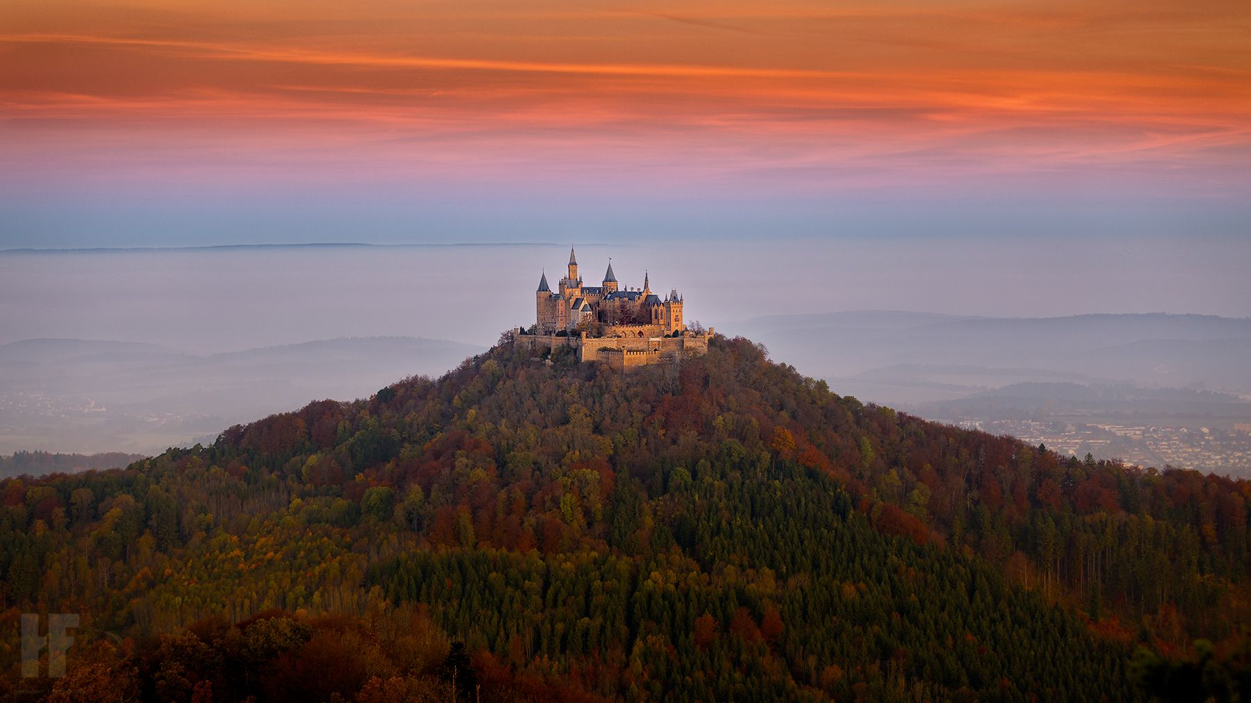
One of the most beautiful castles in Baden-Württemberg
0
0

Frequently Asked Questions
How many no-traffic road cycling routes are available around Burladingen?
There are 9 dedicated no-traffic road cycling routes around Burladingen featured in this guide. These routes offer a range of experiences, from easy rides to more challenging ascents, all designed to keep you away from heavy vehicle traffic.
What makes the Burladingen region ideal for no-traffic road cycling?
Burladingen is nestled at the foot of the picturesque Swabian Alb, offering a diverse landscape of rolling hills, challenging climbs, and serene river valleys. The region's unique geology, including areas shaped by ancient volcanic activity, provides a varied and scenic backdrop for road cycling without the disturbance of heavy traffic.
Are there any easy no-traffic road cycling routes suitable for beginners or families?
Yes, there are 2 easy no-traffic road cycling routes around Burladingen that are great for beginners or families. One excellent option is the Paved Path Along the Fehla – View of Kornbühl Chapel loop from Burladingen West, which offers a gentle 37.6 km ride with moderate elevation gain, perfect for a relaxed outing.
Can I find challenging car-free road cycling routes in Burladingen?
Absolutely. For ambitious cyclists seeking a challenge, there is 1 difficult no-traffic road cycling route in the area. While not entirely car-free, routes traversing mountain passes like the Hohenzollern Pass offer exciting challenges with steep ascents and rewarding views of Hohenzollern Castle, often on roads with very low traffic volumes.
What is the best time of year for no-traffic road cycling in Burladingen?
The best time of year for road cycling in Burladingen is between spring and autumn. During these seasons, the weather is mild, and nature is in full bloom, providing optimal conditions for exploring the well-maintained and varied routes.
Are there any no-traffic road cycling routes that offer scenic viewpoints?
Many routes in the Burladingen area feature breathtaking panoramic views. You can find routes that pass by viewpoints such as the "Hangender Stein Viewpoint," "Wackerstein" (offering views towards Reutlingen and Tübingen), and "Aussichtspunkt Weilerwaldkopf." These spots provide magnificent outlooks over the Killertal and towards Hohenzollern Castle, making for memorable stops on your ride.
What interesting natural attractions can I see along these routes?
The region boasts several unique natural attractions. You can explore the Lauchertquelle and Fehlaquelle (springs), the ruins of Hölnstein and its caves, and the seasonal Salmendinger Waterfalls. The "Dolinenfeld Äsfeld" south of Burladingen also showcases interesting sinkhole formations. Consider the Lauchert Spring loop from Melchingen to visit one of these natural wonders.
Are there any historical landmarks or castles accessible from the no-traffic routes?
While not always directly on the no-traffic routes, several significant landmarks are easily accessible. The iconic Hohenzollern Castle is often visible from various viewpoints and can be reached via challenging climbs like the Hohenzollern Pass. Lichtenstein Castle, a fairytale-like structure, is another notable landmark in the broader region, offering grand views and amenities.
Are there any circular no-traffic road cycling routes available?
Yes, many of the no-traffic road cycling routes around Burladingen are designed as loops, allowing you to start and end at the same point. For example, the View of Kornbühl Chapel – Schnittlauchtäle Cycle Path loop from Burladingen West is a popular circular route covering nearly 40 km.
What do other road cyclists enjoy most about road cycling in Burladingen?
The Burladingen area is highly rated by the komoot community, with an average score of 4.7 stars. Reviewers often praise the diverse landscape, the quiet roads perfect for no-traffic cycling, and the stunning panoramic views from various points along the routes. The well-maintained paths and the opportunity to explore the unique Swabian Alb geology are also frequently highlighted.
Are there any routes that pass by lakes or water features?
Yes, some routes offer views of or pass near local water features. While large lakes are not a primary feature of the immediate Burladingen area, you can find highlights like Lauchert Lake and Lauchert Pond. The Lauter River also offers tranquil cycling journeys through idyllic villages and green meadows.
Where can I find parking for these no-traffic road cycling routes?
Parking is generally available in and around Burladingen, especially at the start points of many routes. Specific parking information for individual trailheads, such as those for the Kornbühl-Tour, can often be found in the detailed route descriptions on komoot, making it easy to plan your starting point.
Most popular routes around Burladingen
Most popular attractions around Burladingen

Get inspired with the komoot mobile app


Explore more
Browse the best Road cycling routes in other regions.
