The best road cycling routes around Burladingen
4.7
(139)
679
riders
33
rides
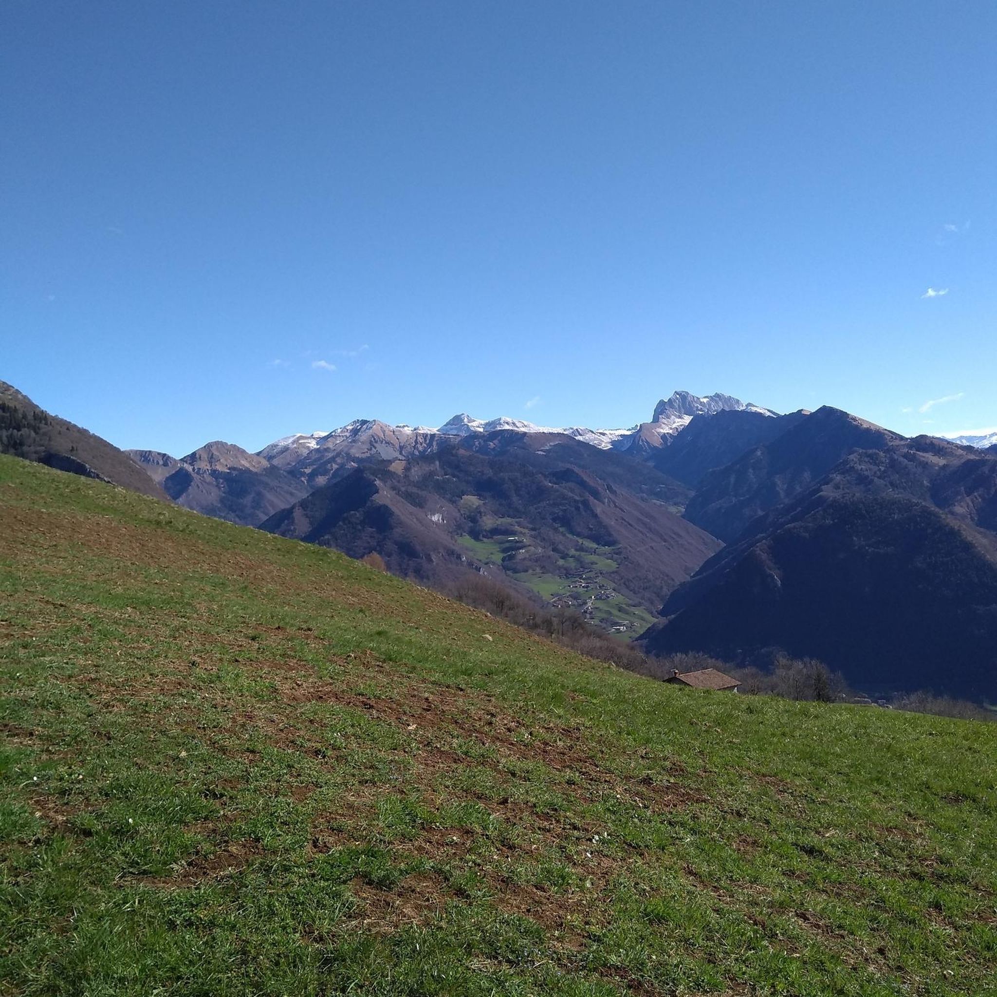
Road cycling around Burladingen offers diverse terrain within the Swabian Alb region, characterized by undulating hills and winding roads. The landscape features lush forests and a distinctive karst topography, providing both challenging climbs and scenic descents. This area is ideal for varied cycling routes, with elevated points offering expansive views of the surrounding valleys.
Best road cycling routes around Burladingen
- The most popular road cycling route is Tuebingen – Kalkofen Climb loop from Melchingen, a 51.2 miles (82.4 km) trail that takes 3 hours 42 minutes to complete. This route features significant elevation gain through the Swabian Alb's varied terrain.
- Another top favourite among local road cyclists is Lauchertsee – View of Kloster Mariaberg loop from Killer, a moderate 30.3 miles (48.8 km) path. This route offers scenic views, including the Lauchertsee and the historic Kloster Mariaberg.
- Local road cyclists also love the Brauhaus Mössingen loop from Burladingen West, a 27.1 miles (43.6 km) trail leading through rolling hills and picturesque countryside, often completed in about 2 hours 3 minutes.
- Road cycling around Burladingen is defined by rolling hills, lush forests, and winding roads through the Swabian Alb. The network offers options for different ability levels, from moderate loops to more difficult climbs.
- The routes in Burladingen are highly rated by the komoot community with an average score of 4.7 stars from over 120 reviews. More than 600 road cyclists have used komoot to explore Burladingen's varied terrain.
Last updated: October 8, 2026
4.0
(4)
118
riders
82.7km
03:44
870m
870m
Moderate road ride. Good fitness required. Some segments of this route may be unpaved and difficult to ride.
4.6
(8)
66
riders
49.9km
02:23
500m
500m
Moderate road ride. Good fitness required. Mostly well-paved surfaces and easy to ride.

4.2
(6)
68
riders
Moderate road ride. Good fitness required. Mostly well-paved surfaces and easy to ride.
5.0
(4)
51
riders
64.3km
02:59
720m
720m
Moderate road ride. Good fitness required. Mostly well-paved surfaces and easy to ride.
21
riders
133km
06:03
1,370m
1,370m
Hard road ride. Very good fitness required. Mostly well-paved surfaces and easy to ride.
Get access to more routes and recommendations from other explorers.
Already have an account?
Our route recommendations are based on thousands of hikes, rides, and runs completed by other people on komoot.
Start today with a free account
Your next adventure awaits.
Popular around Burladingen
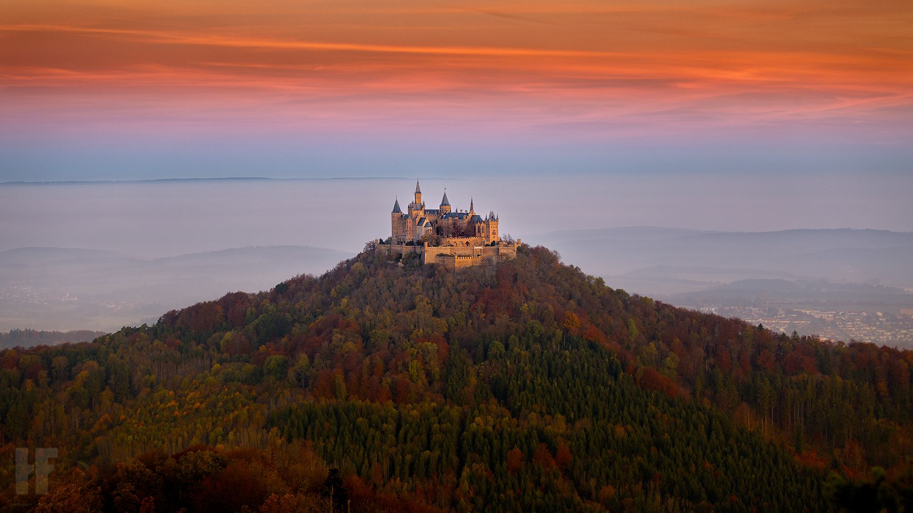
Hohenzollernweg – On the track of the knights, 7 stages
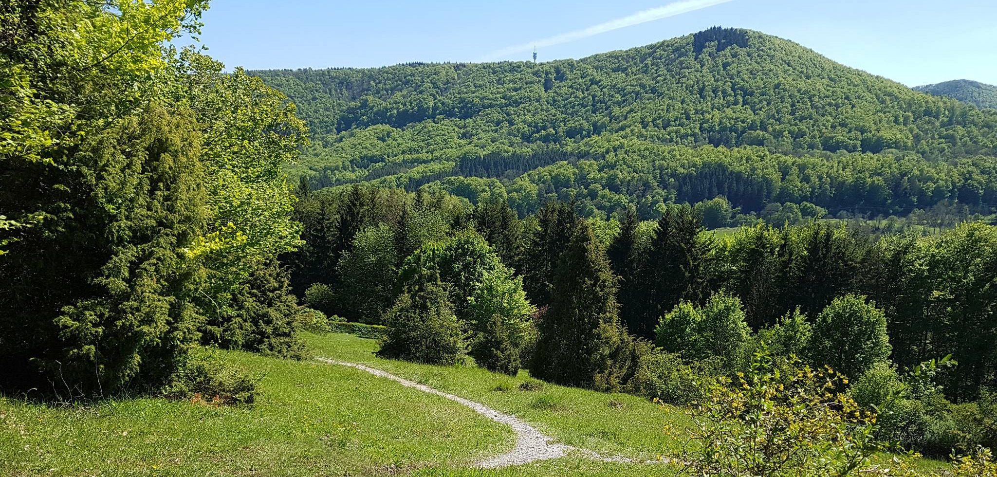
Spätzle Cross — 7 days on the Swabian Alb
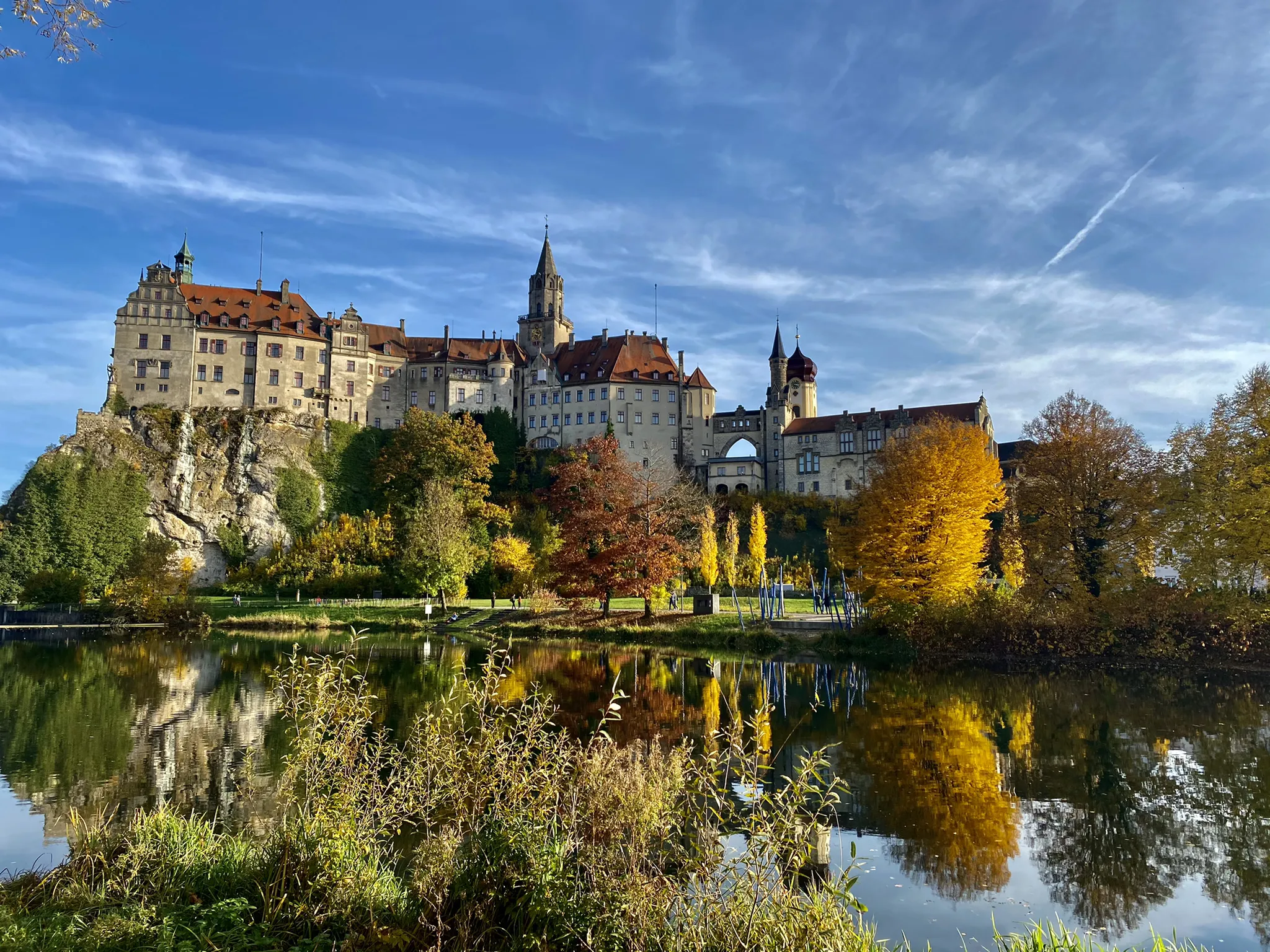
Pilgrimage in Swabian - Hohenzollern Way of St. James
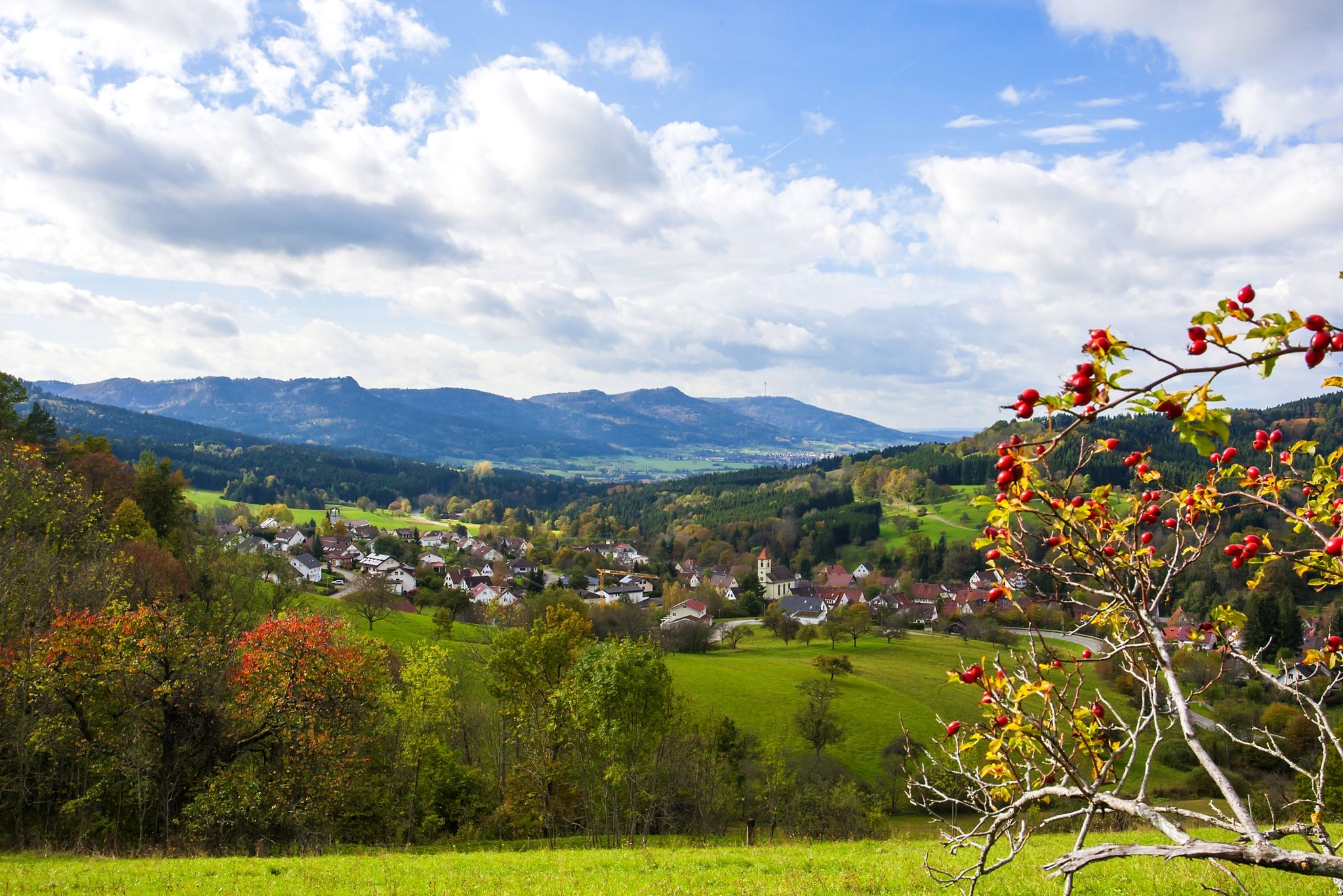
Ride in Germany’s Zollernalb – Albtrauf and Hohenzollern mountains
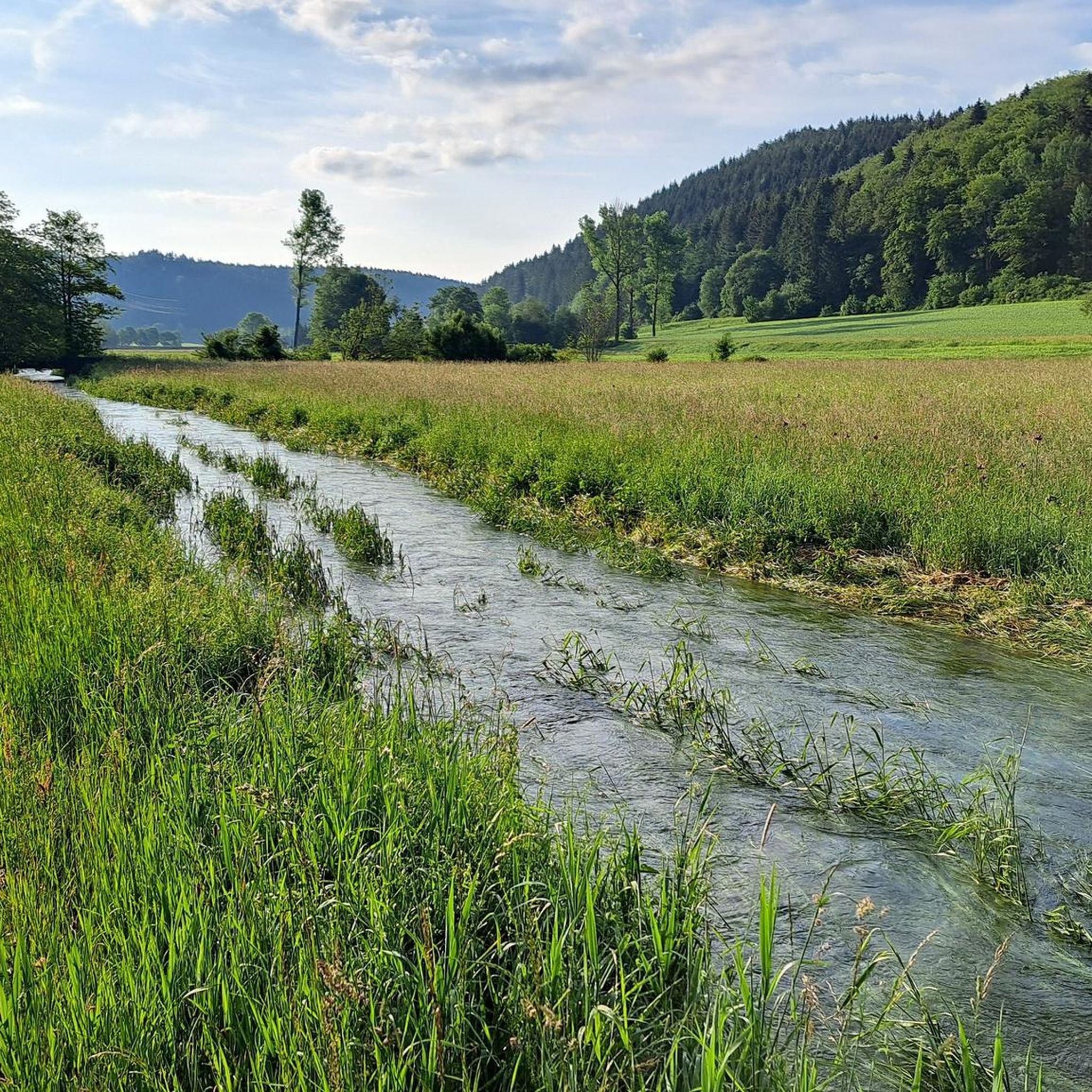
Hiking around Burladingen
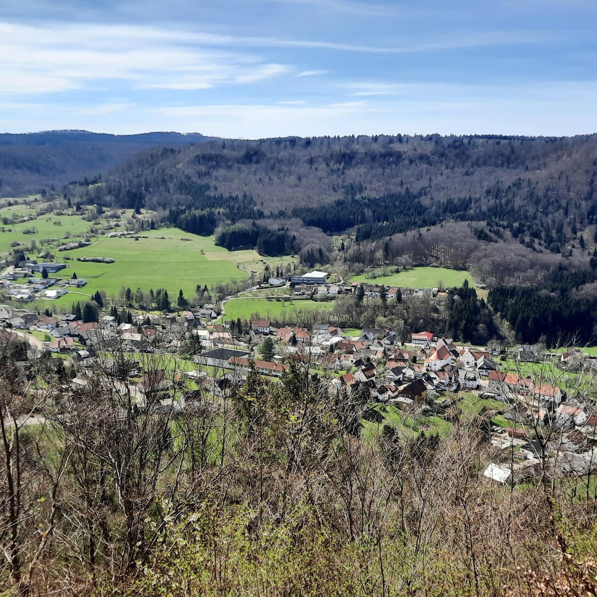
Cycling around Burladingen
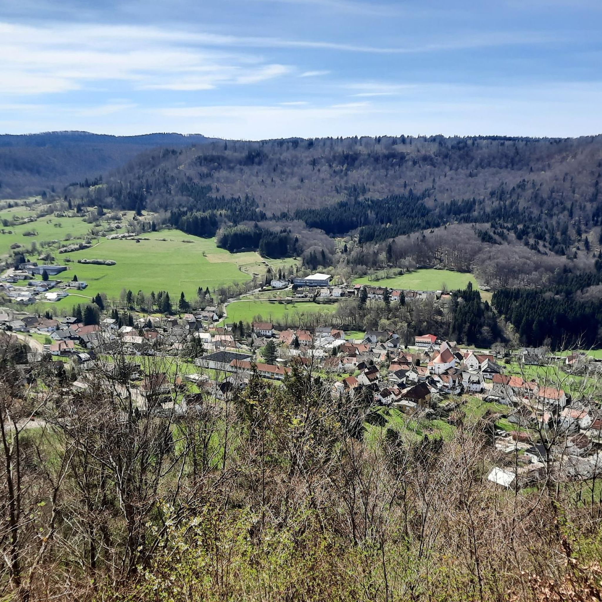
MTB Trails around Burladingen
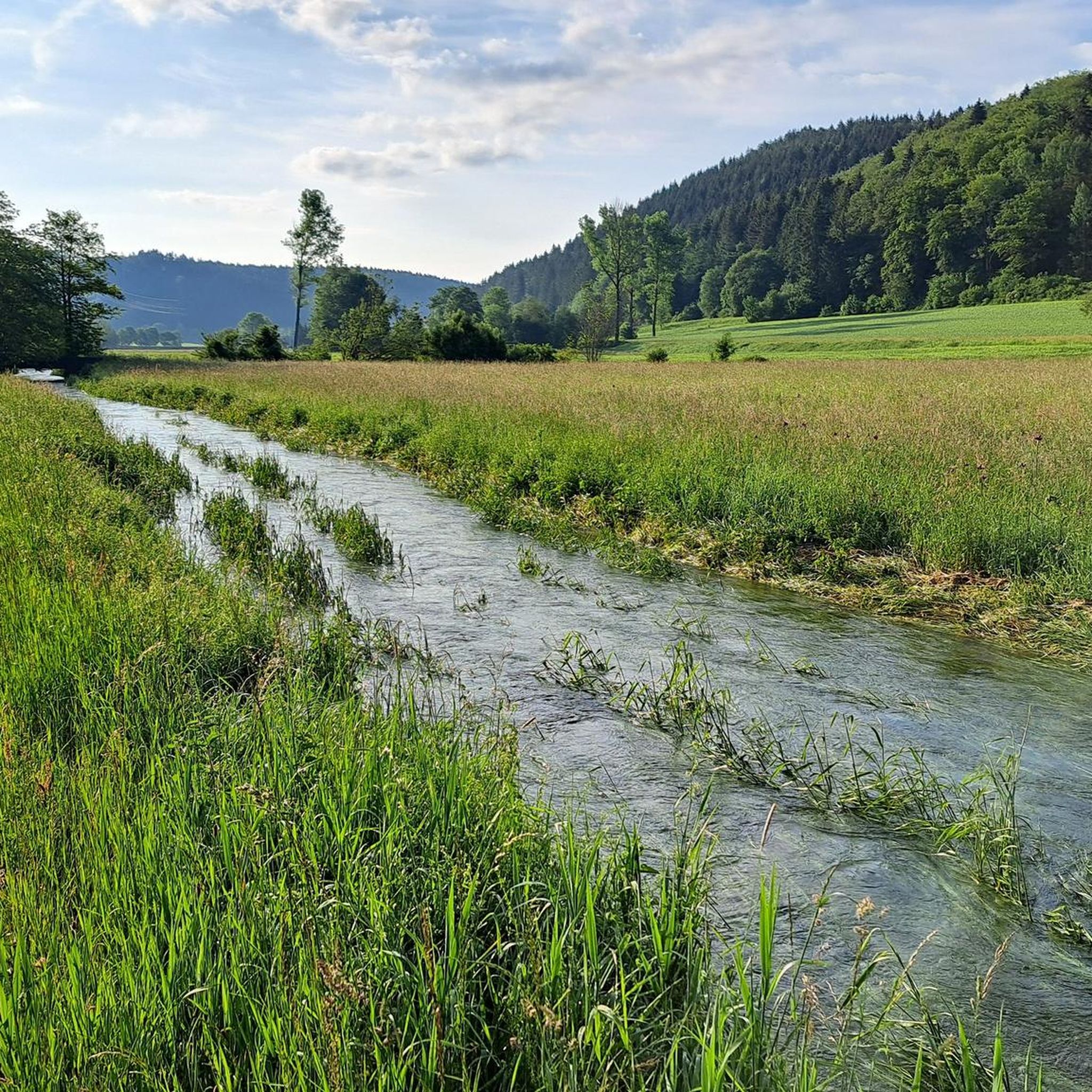
Running Trails around Burladingen
Gravel biking around Burladingen

Mountain Hikes around Burladingen
Other adventures around Burladingen


Tips from the Community

This facility is looked after by the NABU. You can drop off sick or helpless birds here, which are nursed back to health - and then released back into the wild.
0
0

The Butzensee is often referred to as one of the few natural lakes on the Albrand. However, the lake could already be completely drained in the Middle Ages via a weir. Since the lake lay directly on the border between Württemberg's Bodelshausen and Hohenzollern's Sickingen, there were repeated conflicts over it.
6
0

Beautiful decoration - Burladingen-Melchingen - Zollernalbkreis
3
0
Some rather peculiar, but certainly originally designed sculptures in a front garden.
9
0

The former operational building, no longer needed for railway operations, has housed Germany's only whip museum since 1993. Unfortunately, it has not been publicly accessible since spring 2020. Source: wikipedia
1
0
Beautiful view from the hiking parking lot on the district road 7161 up to the Kornbühl and the St. Anna Chapel - Burladingen-Salmendingen - Zollernalb district
3
0
City center with market square ⛲️ - Center - Tübingen District
1
0

Werenwag Castle sits high above the Danube, but unfortunately it is too far away for those passing by
1
0
Frequently Asked Questions
How many road cycling routes are available around Burladingen?
There are over 30 road cycling routes available around Burladingen, catering to various skill levels. You'll find a mix of easy, moderate, and difficult trails to explore the Swabian Alb region.
What kind of terrain can I expect on road cycling routes in Burladingen?
Road cycling in Burladingen, located within the Swabian Alb, features diverse terrain. Expect undulating hills, winding roads, and lush forests. The region's karst landscape offers both challenging climbs and exhilarating descents, with many routes providing expansive views from elevated points.
Are there any easy road cycling routes suitable for beginners or families?
Yes, Burladingen offers several easier road cycling options. While the region is known for its rolling hills, there are 3 routes classified as easy. For a moderate, yet scenic ride, consider the Brauhaus Mössingen loop from Burladingen West, which covers 27.1 miles (43.6 km) through picturesque countryside.
What are some of the more challenging road cycling routes in the area?
For experienced road cyclists seeking a challenge, Burladingen offers 9 difficult routes. A notable long-distance option is the View of Sigmaringen Castle – View of Beuron Abbey loop from Burladingen, which spans over 80 miles (133.5 km) with significant elevation gain, offering panoramic views of the region's castles and abbeys.
What scenic viewpoints or natural attractions can I see along the routes?
Many routes offer stunning views and pass by natural attractions. You can spot the magnificent Hohenzollern Castle from various points, or visit the distinctive Hangender Stein Viewpoint. The region also features natural springs like the Lauchertquelle and Fehlaquelle, and the seasonal Salmendinger Wasserfälle.
Are there any castles or historical landmarks to visit near the cycling routes?
Absolutely. The region is rich in historical landmarks. You can often see the iconic Hohenzollern Castle from many routes, or plan a stop at the fairytale-like Lichtenstein Castle, which offers magnificent views of the surrounding valleys.
What do other road cyclists say about the routes in Burladingen?
The road cycling routes in Burladingen are highly rated by the komoot community, with an average score of 4.7 stars from over 120 reviews. Cyclists often praise the varied terrain, the scenic beauty of the Swabian Alb, and the rewarding views from elevated points.
Are there any long-distance road cycling routes available?
Yes, Burladingen is situated along significant routes like the Swabian Alb Road and the Hohenzollern Road, which offer opportunities for longer rides. For a substantial journey, consider the Tuebingen – Kalkofen Climb loop from Melchingen, a 51.2-mile (82.4 km) trail with significant elevation gain.
What is the best time of year for road cycling in Burladingen?
The Swabian Alb region, including Burladingen, is generally best for road cycling from spring through autumn. During these seasons, the weather is typically mild, and the landscapes are vibrant, offering ideal conditions for exploring the rolling hills and forests.
Are there any circular road cycling routes?
Many of the road cycling routes around Burladingen are designed as loops, allowing you to start and end at the same point. An example is the Lauchertsee – View of Kloster Mariaberg loop from Killer, a moderate 30.3-mile (48.8 km) path offering scenic views.
Can I find routes that pass by lakes or other water features?
Yes, some routes will take you past beautiful water features. The Lauchertsee – View of Kloster Mariaberg loop from Killer, for instance, offers scenic views including the Lauchertsee. You might also encounter natural springs like the Lauchertquelle and Fehlaquelle on various rides.
Most popular routes around Burladingen
Most popular attractions around Burladingen

Get inspired with the komoot mobile app


Explore more
Browse the best Road cycling routes in other regions.
