The best hikes from bus stations around Otterndorf
4.5
(522)
3,143
hikers
72
hikes
Bus station hiking trails around Otterndorf are characterized by diverse landscapes where the River Elbe meets the North Sea. The region features extensive coastal views, riverine environments, and vast wetlands within the Wadden Sea UNESCO World Heritage Site. Hikers can explore nature reserves in the Niederelbe region and follow paths along dykes and through green spaces like the Stadtpark and Wasser- und Landschaftspark. The small River Medem also winds through the area, adding to the varied terrain.
Best bus station…
Last updated: October 14, 2026
4.7
(47)
152
hikers
Moderate hike. Good fitness required. Easily-accessible paths. Suitable for all skill levels.
4.6
(24)
79
hikers
Moderate hike. Good fitness required. Easily-accessible paths. Suitable for all skill levels.

4.8
(8)
74
hikers
7.99km
02:01
10m
10m
Moderate hike. Good fitness required. Easily-accessible paths. Suitable for all skill levels.
5.0
(3)
83
hikers
Easy hike. Great for any fitness level. Easily-accessible paths. Suitable for all skill levels.
5.0
(4)
34
hikers
Easy hike. Great for any fitness level. Easily-accessible paths. Suitable for all skill levels.
Get access to more routes and recommendations from other explorers.
Already have an account?
Our route recommendations are based on thousands of hikes, rides, and runs completed by other people on komoot.
Start today with a free account
Your next adventure awaits.
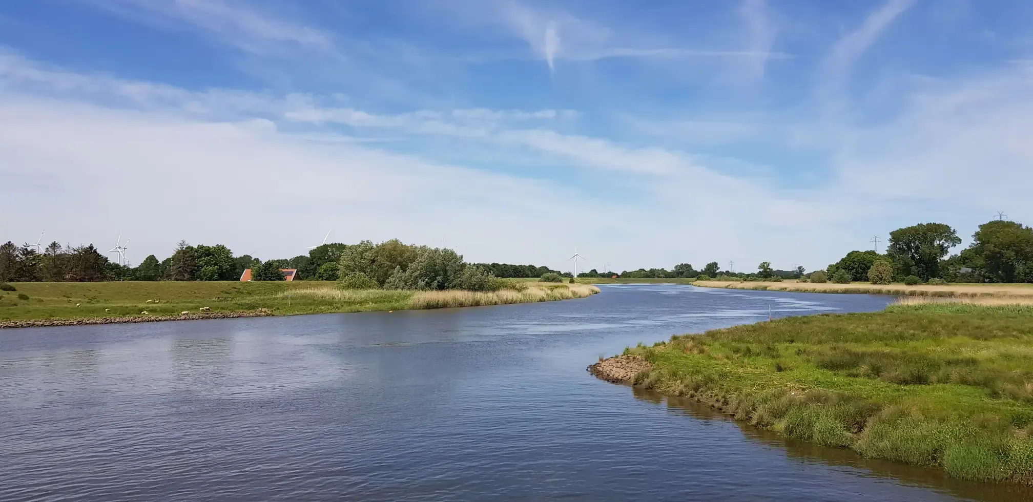
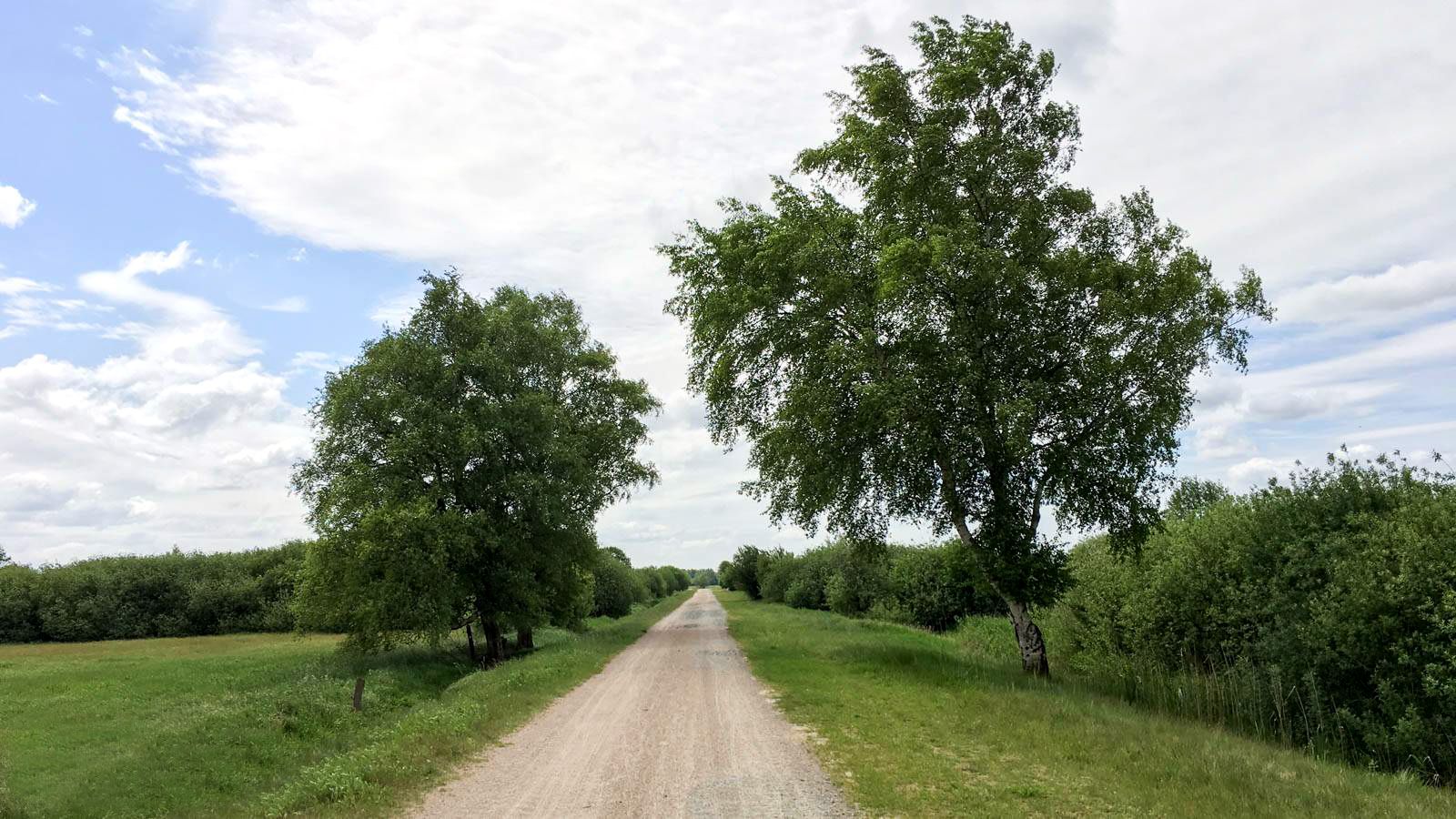
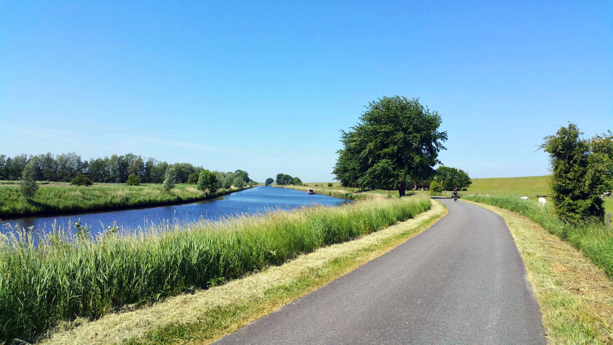


Tips from the Community

A great destination for an excursion is located here amidst beautiful nature 💚. A visit is recommended.
0
0

Medem estuary and lock beautiful there.
0
0
Free view of large container ships. Really great!
0
0
Beautiful photo opportunities or simply wonderful for relaxing.
0
0
A great bike and hiking route runs along here amidst beautiful nature by the canal. A well-paved asphalt road.
3
0
A great bike and hiking trail leads here amidst beautiful nature, highly recommended and interesting at the same time 👍🏼.
4
0
A beautiful small harbor, it is recommended to take a break. A great cycling and hiking route runs along here.
3
0
Here you can see and enjoy breathtaking views of the ships and the surrounding nature. Highly recommended and interesting at the same time.
1
0
Frequently Asked Questions
How many bus station hiking trails are there in Otterndorf?
There are over 75 hiking trails around Otterndorf that are easily accessible from bus stations. These routes cater to various preferences, with a good mix of easy and moderate options.
What kind of landscapes can I expect on bus station hikes in Otterndorf?
Otterndorf offers a unique blend of coastal and riverine environments, where the Elbe River meets the North Sea. You'll find extensive coastal views, river landscapes along the Medem, and proximity to the Wadden Sea UNESCO World Heritage Site. Many trails also pass through green spaces and nature reserves.
What is the best time of year for hiking near Otterndorf bus stations?
The best time for hiking in Otterndorf is generally from late spring to early autumn, specifically May to September. During these months, the weather is typically mild and pleasant, making for ideal conditions to explore the coastal and riverine landscapes.
Are there easy bus station hikes in Otterndorf?
Yes, Otterndorf offers many easy hiking trails accessible from bus stations. For example, the Otterndorf Promenade – Wadden Sea National Park loop from Deichstraße (Strandexpress) is an easy 2.5 km route, perfect for a relaxed stroll. There are over 60 easy routes in total.
Can I find circular routes starting from bus stations in Otterndorf?
Absolutely. Many of the trails accessible from bus stations in Otterndorf are circular routes, allowing you to start and end your hike at the same point. Examples include the Otterndorf Promenade – Wadden Sea National Park loop and the Aqua Park Otterndorf – Pathway on the Otterndorf Dike loop.
What interesting sights can I see on bus station hikes around Otterndorf?
Along the trails, you can discover various points of interest. The Dicke Berta Lighthouse offers views of the Elbe Estuary, and the Historic Town Center of Otterndorf is worth exploring. You might also pass by the Aqua Park Otterndorf and various beach areas.
Are the bus station hiking trails in Otterndorf suitable for families?
Many bus station accessible trails in Otterndorf are family-friendly, especially the easier routes. The region's flat terrain and well-maintained paths, like those through the Wasser- und Landschaftspark, are ideal for families. The Lighthouse Playground at Nordsee Lake is also a popular spot for children.
Are there dog-friendly bus station trails in Otterndorf?
Yes, Otterndorf generally welcomes dogs on its hiking trails. The open coastal areas, dyke paths, and nature reserves provide ample space for walks with your canine companion. Always remember to keep your dog on a leash, especially in nature protection areas, and clean up after them.
What do other hikers enjoy about bus station trails in Otterndorf?
The komoot community highly rates the bus station trails in Otterndorf, with an average score of 4.5 stars. Hikers frequently praise the diverse coastal and riverine scenery, the well-maintained paths, and the ease of access to these routes via public transport.
Are there any themed trails accessible by bus in Otterndorf?
Yes, Otterndorf features unique themed trails. The Deicherlebnispfad (Dyke Adventure Trail) offers impressive views and informational stations about local flora, fauna, and history. Another option is the Hadler Sagenweg, where you can experience local legends through audio at various stations, many of which are easily reachable from bus stops.
How long are the bus station hikes in Otterndorf?
The bus station hikes in Otterndorf vary in length. You can find shorter, easy walks like the Aqua Park Otterndorf – Elbe Dike loop at around 7 km, which takes about 1 hour and 45 minutes. For a longer moderate option, the Dicke Berta Lighthouse – View of the Elbe Estuary loop is about 17 km and takes approximately 4 hours and 15 minutes.
Most popular routes around Otterndorf
Most popular attractions around Otterndorf

Get inspired with the komoot mobile app


Explore more
Browse the best Hikes in other regions.
