The best hikes from bus stations around Mettlach
4.6
(8945)
34,995
hikers
176
hikes
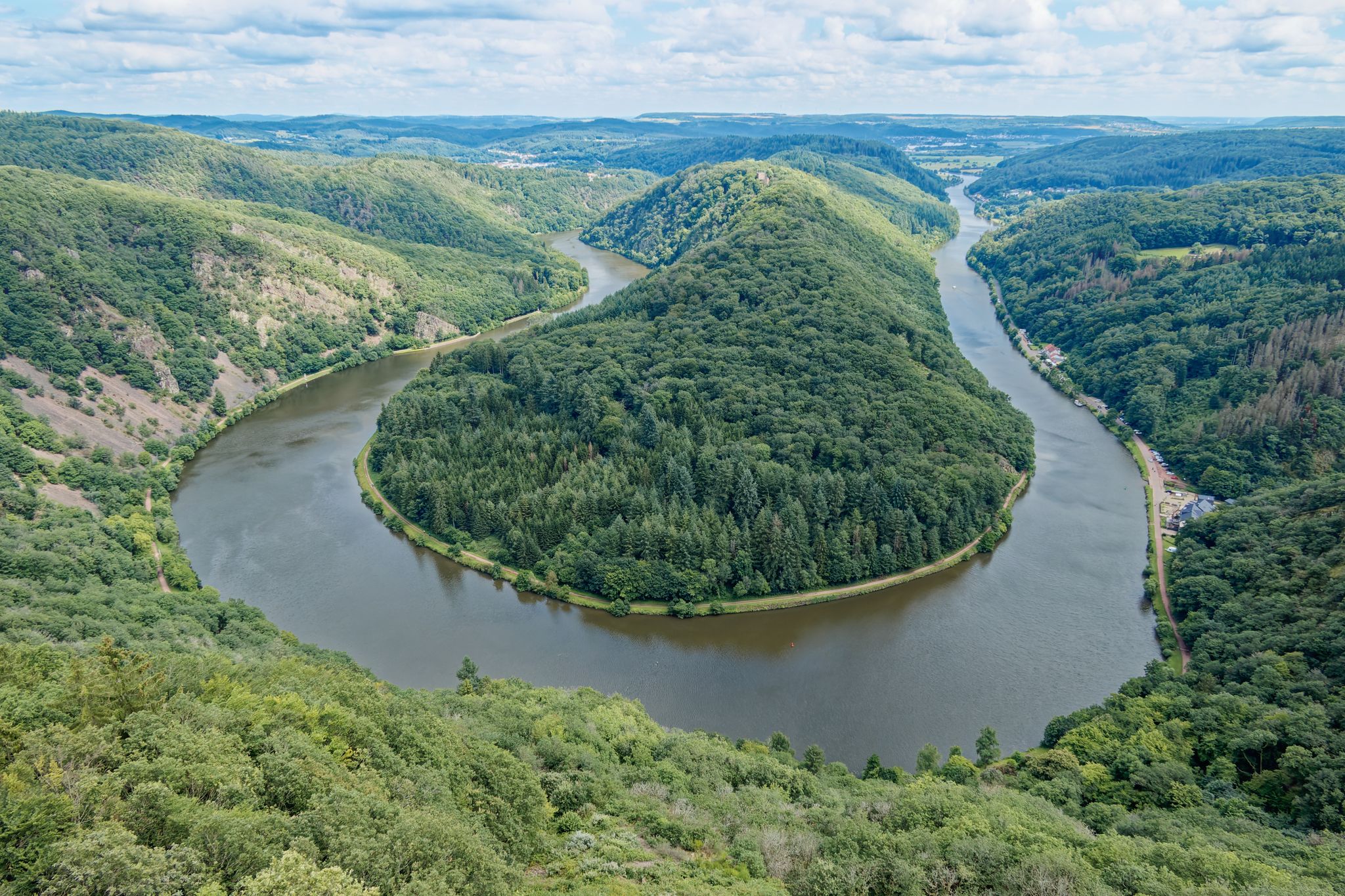
Bus station hiking trails around Mettlach offer access to a diverse landscape shaped by the Saar River and its dramatic Saar Loop. The region is characterized by dense forests, rolling hills, and deep river valleys, particularly within the Saar-Hunsrück Nature Park. Notable features include the ravine-like rock formations of the Steinbachtal and elevated viewpoints like Cloef, providing panoramic vistas. The terrain varies from gentle riverside paths to more challenging ascents through wooded areas.
Best bus station hiking trails around Mettlach
- The most popular bus station hiking route is Wehinger Viezpfad dream trail, a 8.8 miles (14.1 km) trail that takes 4 hours 12 minutes to complete. This difficult route features significant elevation gain through varied forest and open landscapes.
- Another top favourite among local hikers is Steinbach Valley – Steinbach Valley loop from Orscholz, a difficult 12.4 miles (19.9 km) path. This trail explores the Steinbach Valley with its unique rock formations and streams, offering a challenging experience.
- Local hikers also love the Montclair Castle – Steinbach Valley loop from Weiten, a 8.4 miles (13.5 km) trail leading through forested hills and past historical sites, often completed in about 4 hours 2 minutes.
- Hiking around Mettlach is defined by the Saar River's dramatic bends, dense woodlands, and rolling hills, with trails offering access to scenic viewpoints. The network provides options for various ability levels, from easy strolls to difficult, longer routes.
- The routes in Mettlach are highly rated by the komoot community with an average score of 4.6 stars from more than 8,200 reviews. More than 34,000 hikers have used komoot to explore Mettlach's varied terrain.
Last updated: June 27, 2026
4.7
(168)
646
hikers
14.1km
04:12
360m
360m
Hard hike. Good fitness required. Sure-footedness, sturdy shoes and alpine experience required.
4.9
(1100)
3,779
hikers
20.0km
05:55
590m
590m
Hard hike. Very good fitness required. Easily-accessible paths. Suitable for all skill levels.

Sign up for free
4.7
(137)
387
hikers
5.33km
01:45
240m
240m
Moderate hike. Great for any fitness level. Mostly accessible paths. Sure-footedness required.
4.7
(121)
416
hikers
4.13km
01:07
50m
50m
Easy hike. Great for any fitness level. Easily-accessible paths. Suitable for all skill levels.
4.9
(92)
313
hikers
13.4km
04:01
410m
410m
Moderate hike. Good fitness required. Mostly accessible paths. Sure-footedness required.
Get access to more routes and recommendations from other explorers.
Sign up for free
Already have an account?
Our route recommendations are based on thousands of hikes, rides, and runs completed by other people on komoot.
Start today with a free account
Your next adventure awaits.
Login or Signup
Popular around Mettlach

Saar-Hunsrück Climb – Hike in Germany where culture and nature meet
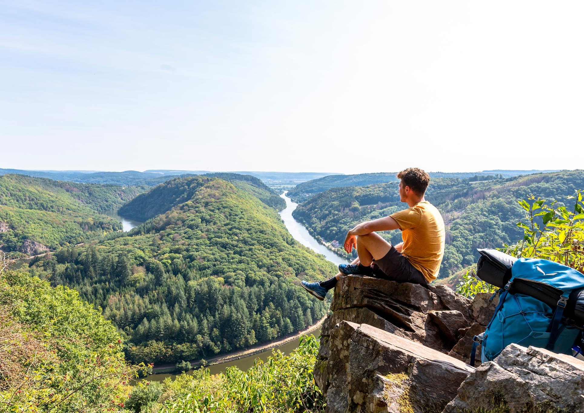
So close, so diverse – the most beautiful hikes in Saarland
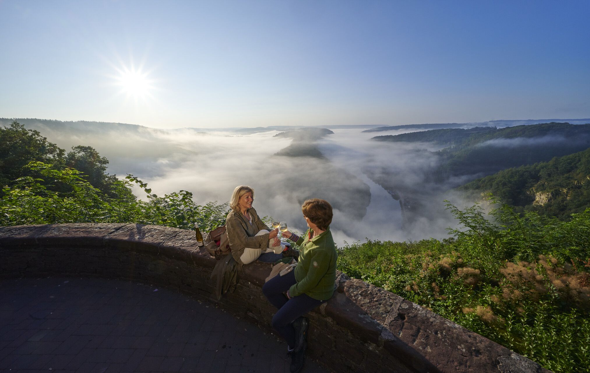
Hiking joy in Saarschleifenland
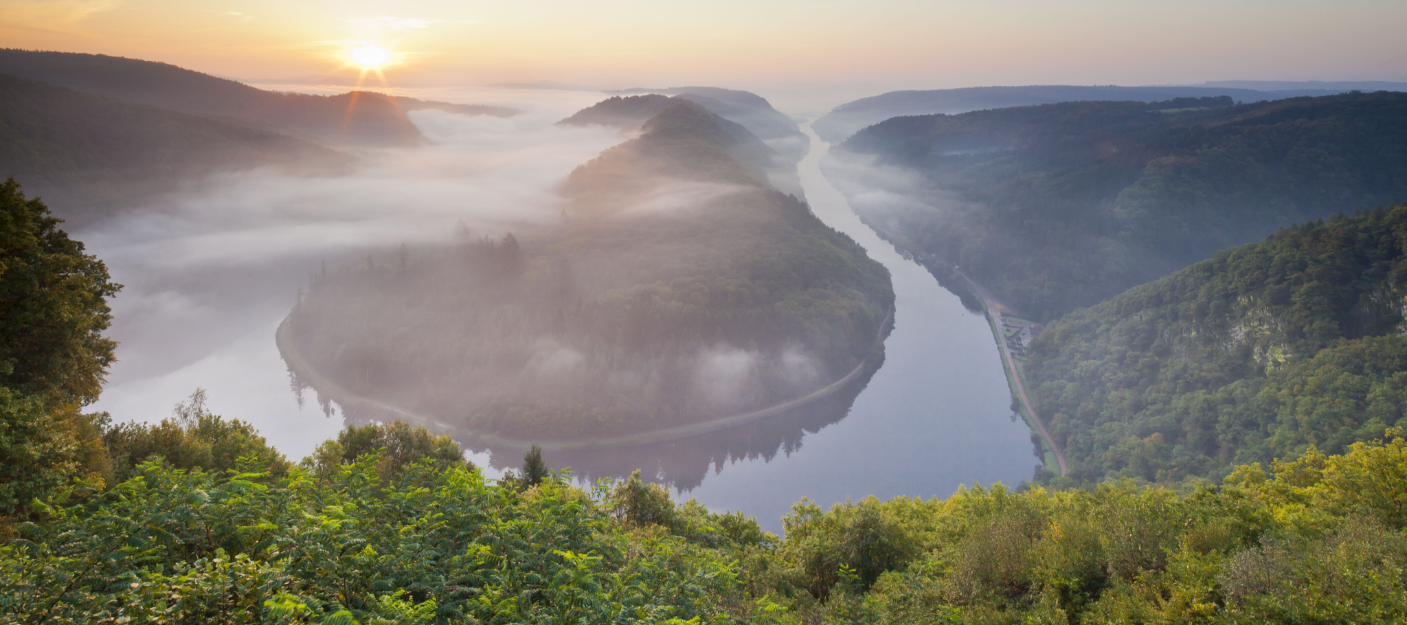
Between the Saarschleife and the Blies – the most beautiful hikes in Saarland
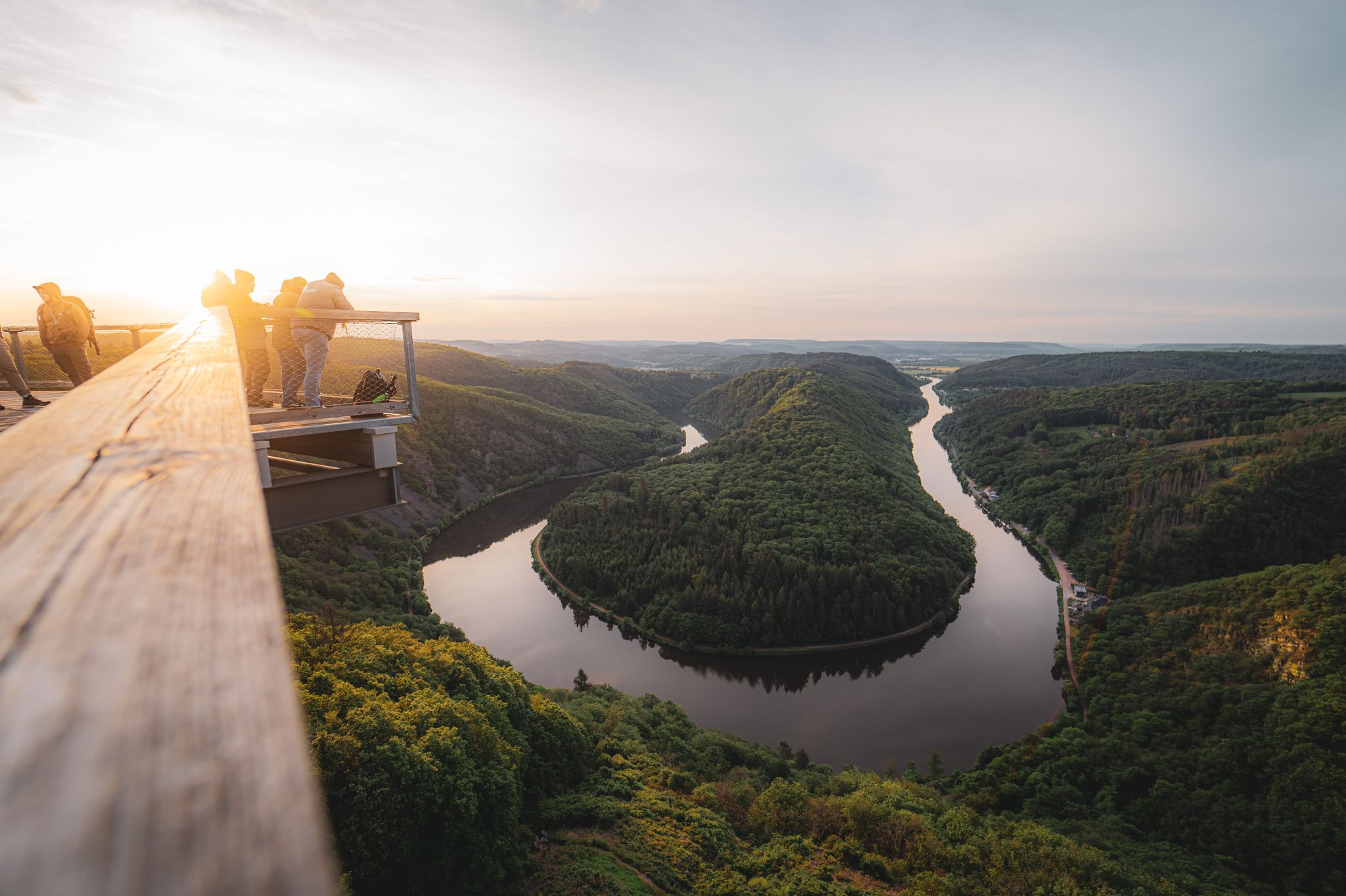
Saarland – primeval forests, river bends and secret night camps

#GoFurther – discover the views of Germany!
Dreamlike hiking in Germany – #EmbraceGermanNature
Hike Germany’s Saar-Hunsrück Climb with jungwandern.de

Satisfy your Wanderlust – premium hiking trails in Saarland

Countless trails, nature & history – hiking in Saarland
Other adventures around Mettlach


Tips from the Community

In summer, the beautiful view down to the Saar is quite limited due to the foliage.
1
0


Great view. In summer, there's hardly any protection from the sun and heat during the midday climb.
0
0

Entry currently costs €15 for adults. The climb is quite pleasant, and the view from the top is, of course, spectacular. You get an even more dramatic view of the Saar Loop than from the Cloef viewpoint. Whether it's worth the entrance fee is something you'll have to decide for yourself.
0
0

Beautifully uncovered by private hands…
2
0
Impressive, unsettling… and as a reminder, a thick knot in the brain.
3
0

It achieved little for the West Wall defense line! A considerable amount of money was wasted, and numerous forced laborers did not survive! We haven't learned much; today, in some places, it's happening again under a different name/flag/concept.
1
0

A superb trail from the Saar up to the Cloef. Almost alpine.
1
0
Frequently Asked Questions
How many hiking trails are accessible from bus stations in Mettlach?
Mettlach offers a wide variety of hiking opportunities directly accessible from bus stations. You'll find nearly 200 routes in total, with over 100 easy trails, 68 moderate, and 13 difficult options, ensuring there's something for every hiker.
What are the best seasons for hiking around Mettlach, especially when relying on public transport?
The best seasons for hiking in Mettlach are spring and autumn. In spring, the landscape bursts into bloom, while autumn offers stunning golden foliage and mild temperatures. Public transport generally operates reliably during these times, making it easy to reach trailheads and return from your hike.
Are there any easy, family-friendly hiking routes accessible by bus in Mettlach?
Yes, Mettlach has several easy, family-friendly routes accessible by bus. A great option is the Höcker Line Trail – Höcker Line Trail loop from Orscholz, which is an easy 4.1 km loop. Many trails in the region are well-marked and suitable for families, often leading to scenic viewpoints or through gentle forest paths.
Can I bring my dog on the hiking trails around Mettlach that are accessible by bus?
Most hiking trails in the Mettlach region are dog-friendly, provided your dog is kept on a leash. The natural landscapes of the Saar-Hunsrück Nature Park offer plenty of space for you and your canine companion to explore. Always check local signage for specific rules, especially near nature reserves or attractions like the Treetop Path Saarschleife, which has specific regulations for dogs.
What kind of natural landmarks can I expect to see on bus-accessible hikes in Mettlach?
Mettlach is renowned for its stunning natural features. Many bus-accessible hikes will lead you to breathtaking views of the iconic Saar Loop (Saarschleife). You might also encounter the unique ravine-like rock formations and playful streams of the Steinbachtal. For example, the Steinbach Valley – Steinbach Valley loop from Nohn offers a moderate route through this beautiful area.
Are there any viewpoints or attractions along the bus station hiking trails?
Absolutely! Many trails offer access to incredible viewpoints and attractions. The famous Cloef lookout point provides an unparalleled view of the Saarschleife. You can also visit the Hostenturm (Highest Point on the Saargau) for panoramic vistas. Other highlights include the Maunert Summit Cross (416 m) and the Adelsfelsen.
What do other hikers enjoy most about hiking in Mettlach?
The komoot community highly rates hiking in Mettlach, with an average score of 4.6 stars from over 8,200 ratings. Reviewers often praise the region's breathtaking views, particularly of the Saar Loop, the well-marked premium hiking trails, and the diverse natural landscapes, from dense forests to river valleys.
Are there any challenging or difficult routes accessible from bus stations in Mettlach?
Yes, for experienced hikers seeking a challenge, there are difficult routes accessible by bus. The Wehinger Viezpfad dream trail is a challenging 14.1 km route with significant elevation changes, offering a rewarding experience. Another demanding option is the Steinbach Valley – Steinbach Valley loop from Orscholz, spanning nearly 20 km.
Can I find circular hiking routes that start and end at a bus station in Mettlach?
Many of the hiking trails around Mettlach are designed as circular routes, making them ideal for bus access as you can start and finish at the same point. For example, the Montclair Castle – Steinbach Valley loop from Weiten is a moderate 13.5 km circular trail that offers diverse scenery and historical interest.
Are there any interesting caves or rock formations to explore near the bus-accessible trails?
Yes, the Mettlach region features several intriguing geological formations. You can explore the Gypsum Mine Tunnel or the Stromberg Caves. Some trails also pass by unique rock chambers, like the Rock chamber (former dwelling), adding an element of discovery to your hike.
Most popular routes around Mettlach
Most popular attractions around Mettlach

Get inspired with the komoot mobile app


Explore more
Browse the best Hikes in other regions.
