Attractions and Places To See around Verdronken Land van Saeftinghe - Top 8
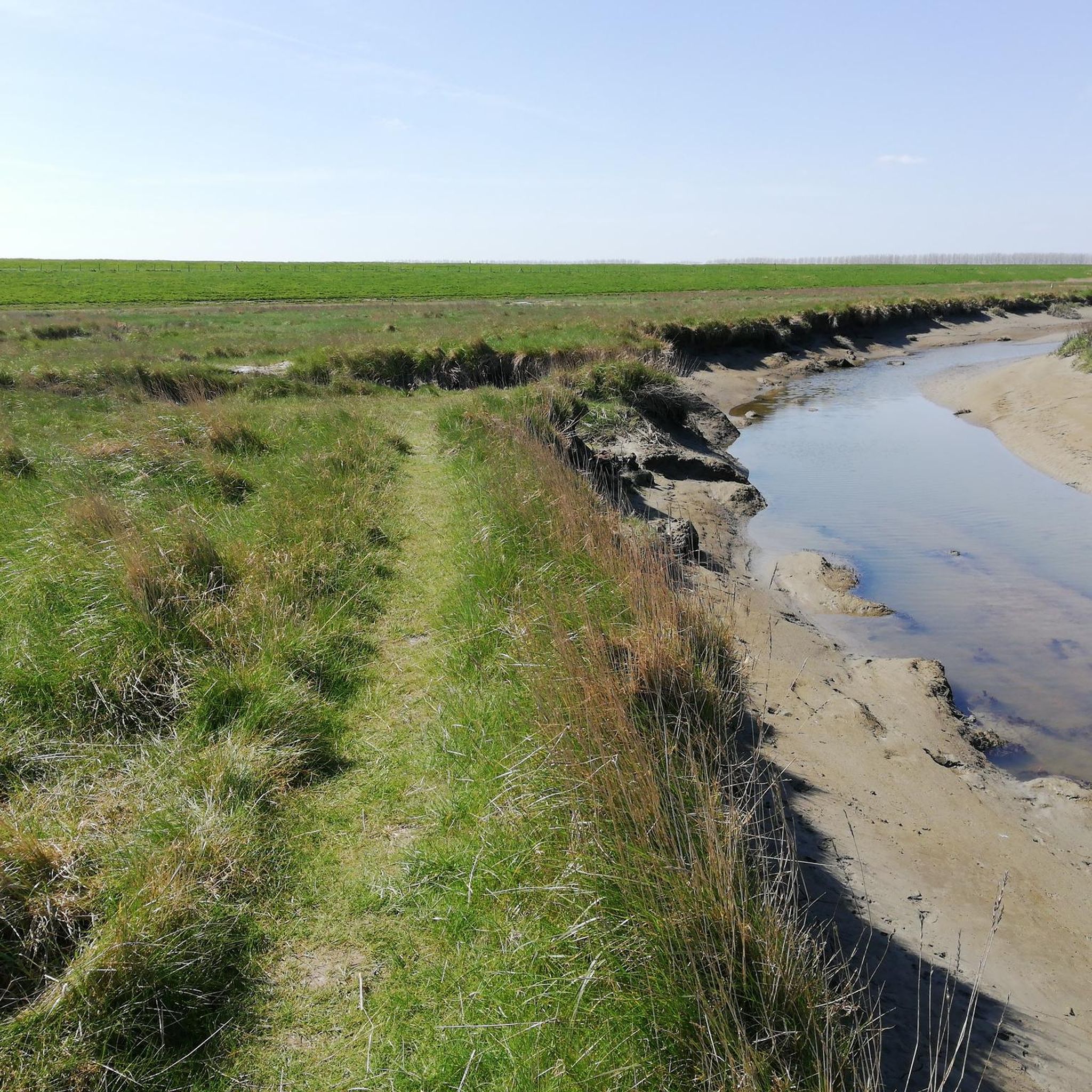
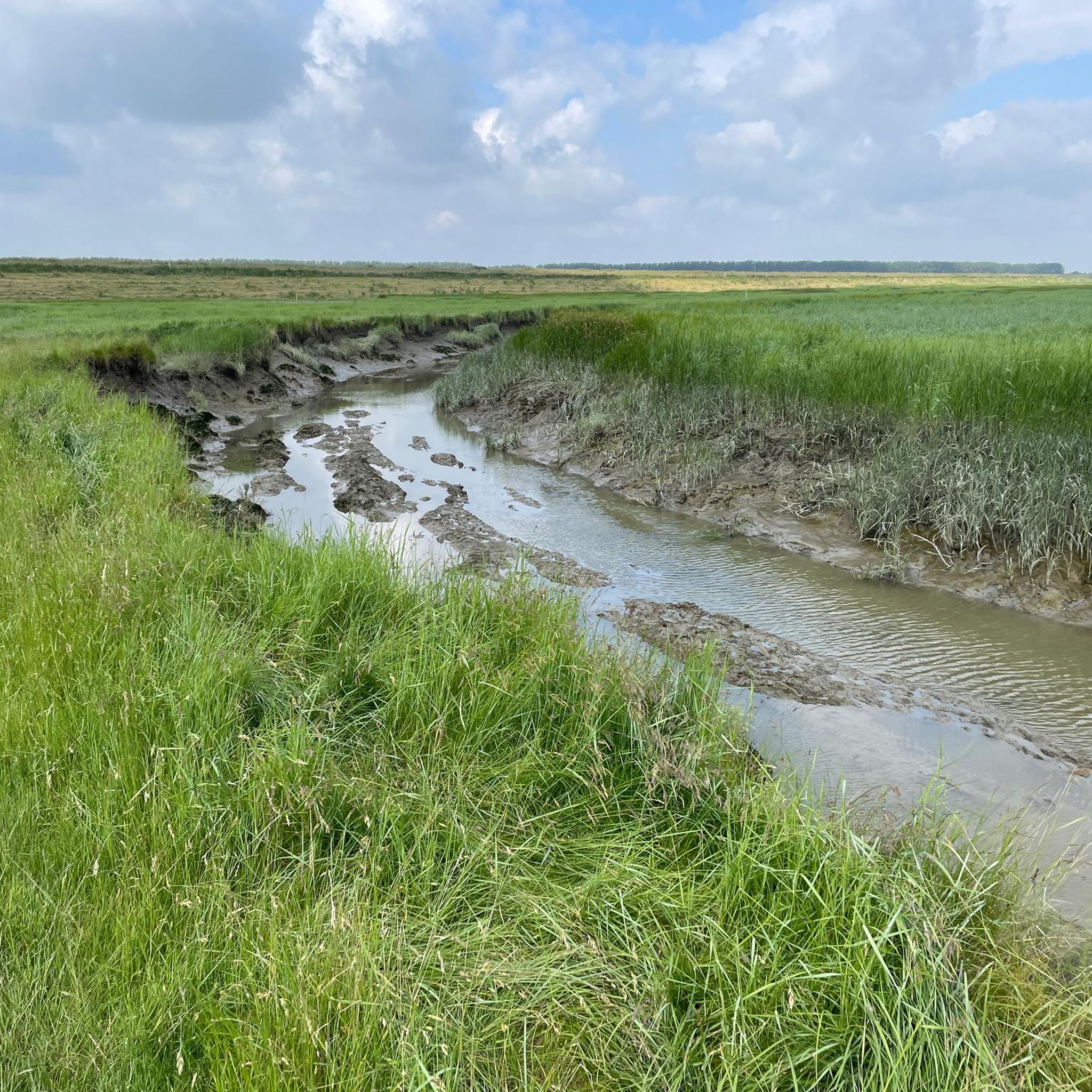
Best attractions and places to see around Verdronken Land van Saeftinghe include a unique natural reserve, known as the largest brackish water salt marsh in Western Europe. This expansive area features a dynamic landscape of mudflats, salt marshes, and intricate networks of gullies, shaped by daily tidal processes. It offers a rich environment for diverse wildlife, including over 200 bird species and common seals, alongside historical remnants of drowned villages.
Best attractions and places to see around Verdronken Land van…
Last updated: October 18, 2026
Visitor Center Verdronken Land van Saeftinghe
Highlight • Rest Area
Translated by Google •
Tip by

Entrance to Ruige Laarzen Route and Plankierpad, Saeftinghe
Highlight • Trail
Translated by Google •
Tip by
Sign up now to discover places like this
Get recommendations on the best single tracks, peaks, & plenty of other exciting outdoor places.
Plank Path Saeftinghe
Highlight (Segment) • Trail
Translated by Google •
Tip by
Café Het Verdronken Land
Highlight • Cafe
Translated by Google •
Tip by

Former Lighthouse Marlemontse Plaat (The Watcher of Saeftinghe)
Highlight • Monument
Translated by Google •
Tip by
Sign up for free to discover even more attractions around Verdronken Land van Saeftinghe.
Already have an account?
Start today with a free account
Your next adventure awaits.
Popular around Verdronken Land van Saeftinghe
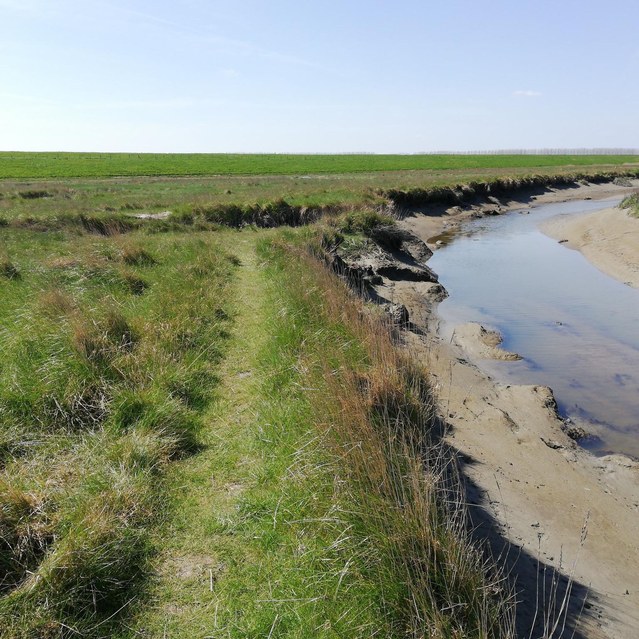
Tips from the Community


Wonderful route, not much shadow, use sunscreen and battle the wind
0
0

drinking a nice beer
1
0

This place is unique and really worth a visit! The interior speaks for itself and creates a really cozy atmosphere.
2
0

In the picturesque Emmadorp, surrounded by the vast polders of Zeeuws-Vlaanderen, lies Café Het Verdronken Land. This more than 100 year old living room café offers a warm atmosphere with an upstairs room and the 'smallest Great Hall' you will ever encounter. Enjoy a pint or a good cup of coffee on the terrace, while looking out over the serene polder landscape.
2
0

The Drowned Land of Saeftinghe is a tidal area of the Western Scheldt a few km downstream from Antwerp. The largest brackish water salt marsh area in Europe and a Zeeland monument. With a visitors centre in Emmadorp.
2
0

nice place, lots of birds to spot as well as large and less large ships
0
0

The Plankierpad is a nice short walk of 1 kilometer through Saeftinghe. The route starts just behind the dike and partly consists of planks. The route gives a good impression of the area and is great fun for children. Here and there assignments for children are indicated. Around spring tide, the Plankierpad can become flooded and is then not passable. Therefore, first view the tide table (https://waterinfo.rws.nl/#/details/public/astronomice-getij/Baalhoek%28BAALHK%29/Waterhoogte___20berekend___20Opervlaktewater___20compared to___20Normaal___20Amsterdams___20Level___20in___20cm). This is also available at the Saeftinghe Visitor Center.
9
0
Frequently Asked Questions
What kind of natural landscape defines the Verdronken Land van Saeftinghe?
The area is characterized by its vast, dynamic landscape of brackish water salt marshes, mudflats, and intricate networks of gullies. It's constantly shaped by the daily ebb and flow of the Westerschelde, where fresh and saltwater meet, creating a unique ecosystem with the largest tidal difference in the Netherlands.
What wildlife can I spot in the Verdronken Land van Saeftinghe?
Verdronken Land van Saeftinghe is a significant bird paradise, hosting over 200 species, including redshanks, reed buntings, and bluethroats. In winter, thousands of meadow pipits, ducks, and geese arrive. Common seals are also regularly sighted, particularly in the gullies during high tide.
Are there any historical sites or stories associated with the Verdronken Land van Saeftinghe?
Yes, the area has a dramatic history. In the Middle Ages, it was a thriving polder with villages and even a castle, all lost to devastating floods in the 14th and 16th centuries. The land was also intentionally inundated during the Eighty Years' War. Remnants of these drowned villages occasionally surface, offering a glimpse into its past.
What are the main walking routes available for independent visitors?
You can explore the area independently via two main routes. The Plank Path Saeftinghe is a 1-kilometer accessible route, partly consisting of planks. The Ruige Laarzen Route (Rough Boots Route) is a 2-kilometer trail for a slightly more rugged experience. Both can be accessed from the Entrance to Ruige Laarzen Route and Plankierpad, Saeftinghe. Remember to check tide times as routes can be submerged during spring tide.
Can I explore the deeper parts of Saeftinghe on my own?
To truly experience the deeper, more adventurous parts of Saeftinghe, it is highly recommended to join a guided excursion. Guides lead visitors through the mud and gullies, sharing insights into the nature and history of the reserve, including areas only accessible with an expert.
Are there family-friendly activities or attractions in the area?
Yes, the Plank Path Saeftinghe is suitable for children, offering a good impression of the area with assignments along the way. The Visitor Center Verdronken Land van Saeftinghe also provides an exhibition that is engaging for families, detailing local flora, fauna, and history. Specialized family excursions are also available for guided tours.
Where can I find refreshments or a place to relax near the reserve?
You can visit Café Het Verdronken Land in Emmadorp. This establishment offers a warm atmosphere and a terrace with views over the polder landscape, making it a great spot for a break.
What is the best time of year to visit Verdronken Land van Saeftinghe?
The reserve offers unique experiences throughout the year. Spring and autumn are excellent for birdwatching during migration. Summer provides warmer weather for exploring, while winter can offer a stark, beautiful landscape and different bird species. Always check tide times, as they significantly impact accessibility to walking routes.
What outdoor activities can I do near these attractions?
Beyond the reserve's walking paths, you can find various outdoor activities. There are several easy hikes, such as the "Plank Path Saeftinghe – Café Het Verdronken Land loop from Emmadorp" (3.77 km) or the "Plank Path Saeftinghe loop from Graauw" (1.64 km). For more extensive hiking, consider routes like the "Café Het Verdronken Land loop from Emmadorp" (13.35 km). Gravel biking is also popular, with routes like the "Clingebos Forest Path – The Koningsdijk loop from Nieuw Namen" (42.55 km). You can find more details on these and other routes in the easy hikes, hiking, and gravel biking guides for the area.
Where can I get a good overview or unique viewpoint of the area?
The Visitor Center Verdronken Land van Saeftinghe is an ideal starting point, offering an exhibition and information. For a unique perspective on the tidal differences, visit the Port of Paal, located about 5 kilometers from the visitor center. You can also observe the landscape from the dike, which offers expansive views.
What is the Hedwigepolder, and is it worth visiting?
The Hedwigepolder is an adjacent, newer nature reserve that has been developing since October 2022 due to daily tidal inundations. It has rapidly become a habitat for thousands of birds and offers excellent viewing opportunities from the dike, making it a worthwhile stop for nature enthusiasts.
What should I know before visiting the Verdronken Land van Saeftinghe?
It's crucial to check the tide times before your visit, especially if you plan to walk the independent routes, as parts can be submerged during spring tide. Good footwear, such as sturdy boots, is highly recommended due to the muddy terrain. The Visitor Center Verdronken Land van Saeftinghe is a great place to start for information and facilities.
Most popular routes around Verdronken Land van Saeftinghe

Get inspired with the komoot mobile app


Explore more
Still not found the Highlight you’re looking for? See guides of the top attractions in other regions:
