The best MTB trails around Verdronken Land van Saeftinghe
4.1
(98)
1,119
riders
63
rides
Mountain biking around Verdronken Land van Saeftinghe primarily takes place in the broader Grenspark Groot Saeftinghe area, as the core marshland is a sensitive tidal ecosystem. This region features a diverse landscape of polders, forests, and trails along sea walls, offering varied terrain for mountain bikers. The area is characterized by generally flat to gently rolling terrain, with some routes incorporating small hills and dunes.
Best mountain bike trails around Verdronken Land van Saeftinghe
- The most popular mountain bike trail…
Last updated: July 1, 2026
4.2
(27)
423
riders
Moderate mountain bike ride. Good fitness required. Suitable for all skill levels.
3.7
(6)
62
riders
39.4km
02:42
40m
40m
Moderate mountain bike ride. Good fitness required. Suitable for all skill levels.

Sign up for free
4.0
(1)
56
riders
62.5km
04:11
110m
110m
Moderate mountain bike ride. Good fitness required. Advanced riding skills necessary.
9
riders
25.3km
01:40
20m
20m
Easy mountain bike ride. Great for any fitness level. Suitable for all skill levels.
8
riders
33.0km
02:02
50m
50m
Moderate mountain bike ride. Good fitness required. Advanced riding skills necessary.
Get access to more routes and recommendations from other explorers.
Sign up for free
Already have an account?
Our route recommendations are based on thousands of hikes, rides, and runs completed by other people on komoot.
Start today with a free account
Your next adventure awaits.
Login or Signup
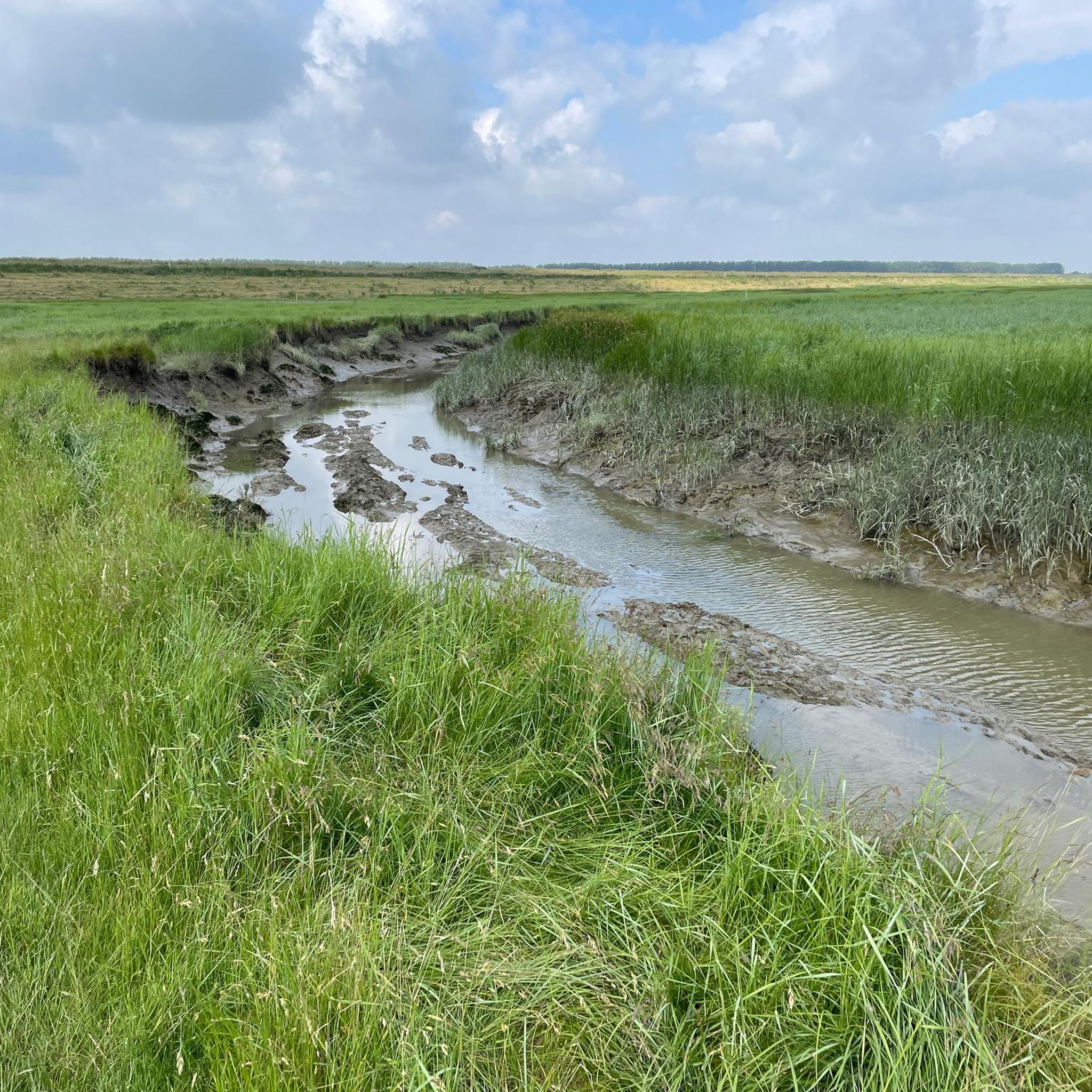
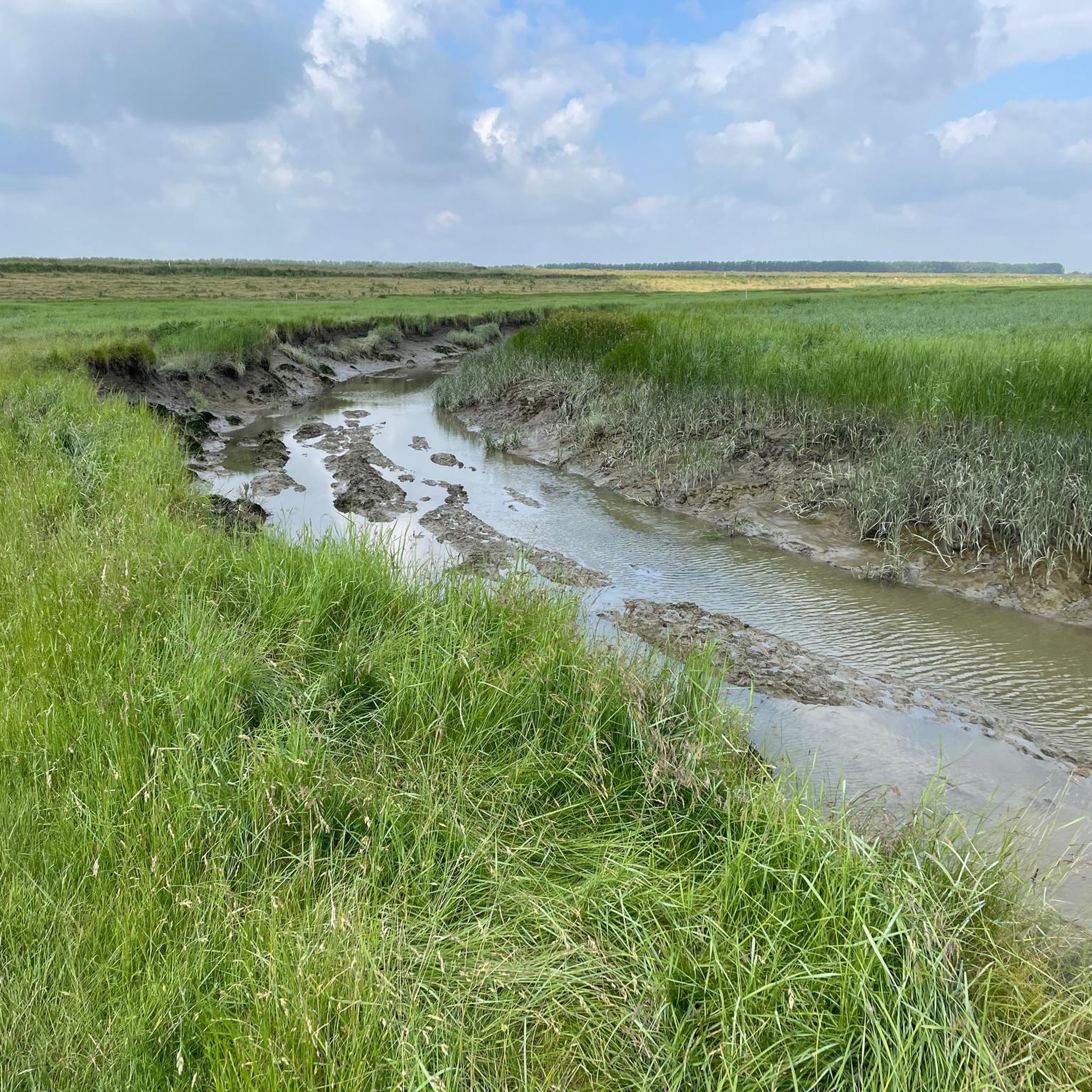
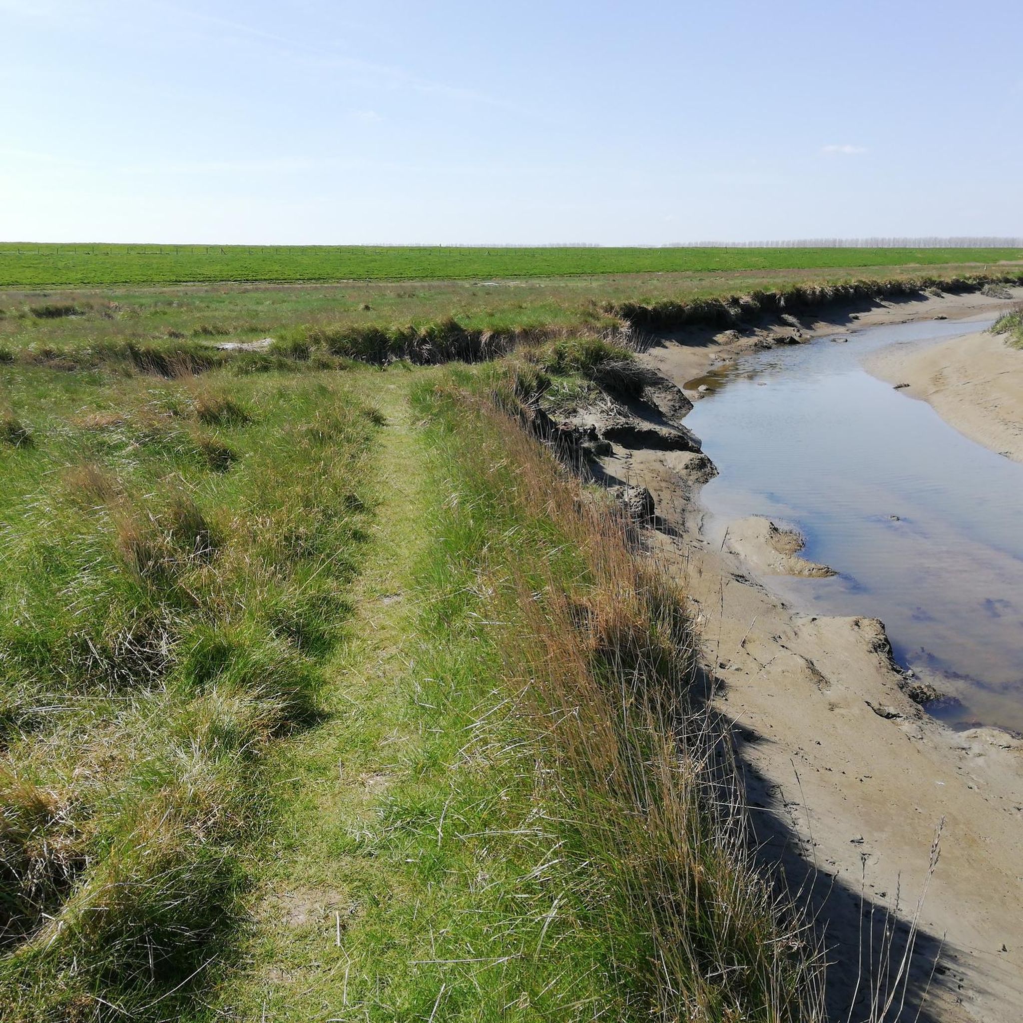
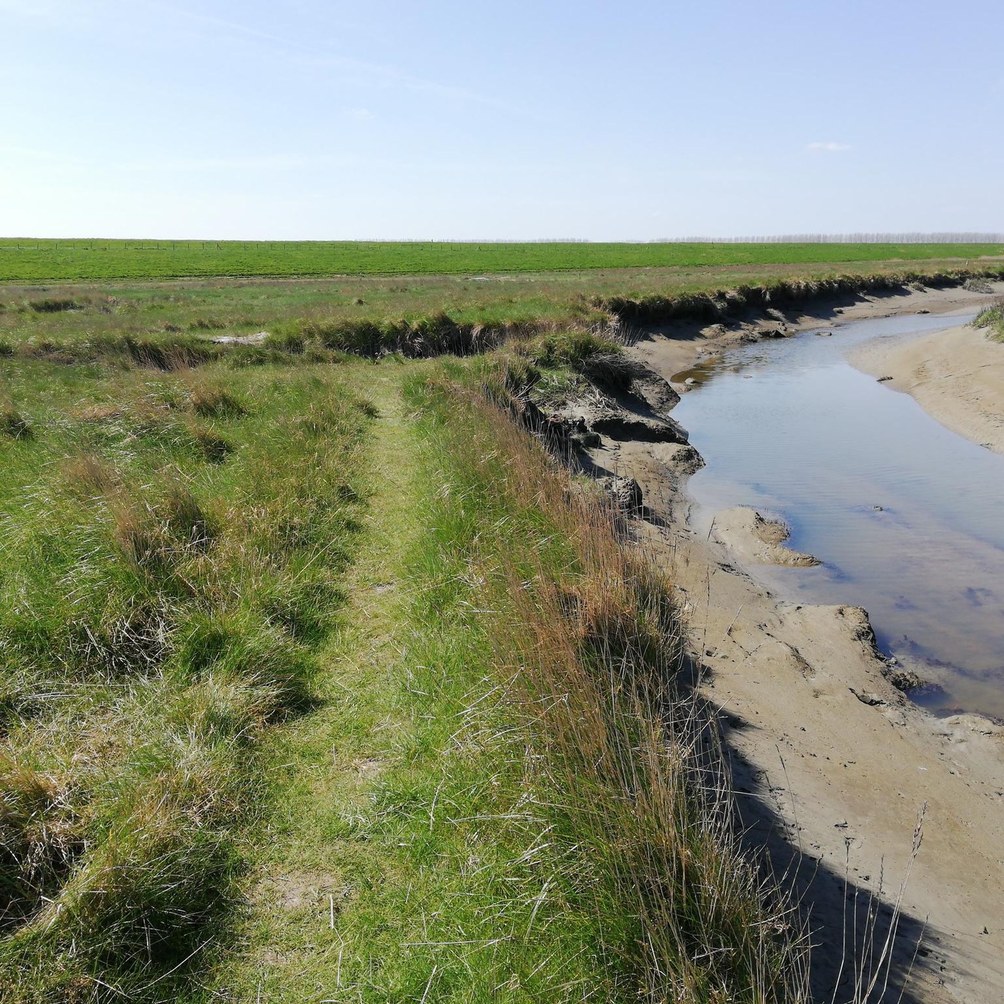
Tips from the Community

The Stropersbos is located right on the Belgian-Dutch border and forms a whole with the Clingse Bossen, as the forest on the Dutch side of the border is called. The history of the forest dates back to the 13th century. This means that the forest has experienced wars, and from one of those wars, the War of the Spanish Succession (1702-1713), very clear traces can still be seen: there are still a number of remnants of the Line that served here in 1701. A little further north, there are also remains of Fort Sint-Jan (from which the Dutch municipality Sint-Jan-Steen derives its name). But even if you are not interested in that history, the Stropersbos is a special place, both for the tree and plant lover, the birdwatcher, the playing child, the boot-wearing walker who likes to trudge through mud, the bivouacker, ... and everyone who simply enjoys a walk. There is a good chance you will encounter wild horses, pass grazing sheep, or that - who knows, maybe you'll be as lucky as I was - roe deer or a fox will cross your path. In short: a very beautiful hiking area ...
3
0
The outdoor site of KLINGSPOOR can be visited every day. The experience centre is open every Sunday from April to October from 2 PM to 5 PM. Staff members of Folkloregroep De Klomp will welcome visitors. KLINGSPOOR is freely accessible to everyone; no ticket needed. Would you like to visit the experience centre with your family, as part of a school trip or with a group? Then you can make an appointment via the Sint-Gillis-Waas Tourism service. source: klingspoor.be
2
0
The smuggling trade thrived in De Klinge and its surroundings. This illegal cross-border trade went in both directions, with all sorts of products being smuggled to the Netherlands or Belgium. In the spring of 1915, the Germans attempted to put a stop to smuggling by constructing the "dodendraad" (death wire). An electric wire under high voltage was intended to deter smugglers. The high voltage on the "Dodendraad" meant that people were electrocuted upon the slightest contact. The inhabitants were not yet aware of the dangers of electricity during this period. For this reason, protective wires were placed on either side, made of barbed wire or chicken wire. The German occupiers wanted to prevent war volunteers, espionage messages, or smugglers from crossing the border with the border barrier. Inventive smugglers quickly found numerous ways to overcome the wire, yet hundreds of daredevils lost their lives during their crossing along the Belgian-Dutch border. At least three victims fell in De Klinge and Meerdonk. After the Second World War, the eternal cat-and-mouse game between customs officers and smugglers became grimmer. Butter smuggling became a lucrative business, and armored cars, "kraaienpoten" (crow's feet), and firearms made their appearance. The "kraaienpoot" was made of metal and had four points. There was always one sharp point facing upwards, intended to puncture the tires of customs service vehicles. Here, at the "Dodendraadmonument", lies an enlarged "kraaienpoot". The "dodendraad" was constructed in the summer of 1915; in November 2015, a section was reconstructed at the border post. On the site, in 2015, on the occasion of the 100th anniversary of the installation of the "dodendraad", a linden tree was planted, donated by the Koninklijke Oudheidkundige Kring van het Land van Waas. source: tracesofwar.nl
2
0
The numbers of the border posts on the Belgian-Dutch border run upwards from border post number 1 at the Drielandenpunt in Vaals, to 369 near Retranchement. It's funny that neither the first nor the last post is actually on the border (the evolution of the Zwin is partly responsible for the last post). On almost all posts, the year 1843 is shown. Only in Zeeuws-Vlaanderen are there 7 border posts with a later year, which were placed after land reclamation. The posts are made of cast iron and weigh 372 kilograms. Each post is equipped with the Belgian Lion on the Belgian side and the Dutch Lion with sword and arrows on the other side. And each post has a number. The Belgian-Dutch border is 458 kilometers long. On average, the posts are therefore just over a kilometer apart. source: bestemmingbuitenlucht.nl/
2
0
Actually, it's not allowed in the Clingse Bossen: go off the path, roam through the forest and build huts. Because plants get damaged and animals get scared. But here you can! So come and splash around with water, climb a tree, put on your own show in the theatre or play hide-and-seek!". an information board challenges children to romp around here. "Feel free to bring your parents: just put them on a bench with a good book and they'll be no trouble at all!" it continues, almost in the style of Annie M.G. Schmidt ;-)
3
0

Endless large sand plain. Just beautiful to see!
1
0

The Borgvliet Dunes are the breeding grounds of the Nightjar. That's why those beams are there; stay behind them to avoid disturbing the nests! You can also sometimes see deer passing by in the distance.
1
0

beautiful view over the Polders
1
0
Frequently Asked Questions
How many mountain bike trails are available around Verdronken Land van Saeftinghe?
There are over 60 mountain bike trails available in the broader Grenspark Groot Saeftinghe area, which encompasses the Verdronken Land van Saeftinghe. These routes offer a diverse range of experiences for different skill levels.
What are the typical difficulty levels for mountain bike trails in this area?
The trails around Verdronken Land van Saeftinghe cater to various skill levels. You'll find approximately 20 easy routes, 44 moderate routes, and a couple of more challenging difficult routes, ensuring options for beginners and experienced riders alike.
Are there any family-friendly mountain bike routes near Verdronken Land van Saeftinghe?
Yes, there are several family-friendly options, particularly among the easy-rated routes. These trails often feature generally flat to gently rolling terrain, suitable for riders with children. For example, the Steep Hill Hulst loop from Nieuw-Namen is an easy 23.7 km route that explores the area around Hulst with gentle inclines, making it a good choice for families.
Can I bring my dog on the mountain bike trails?
While the core Verdronken Land van Saeftinghe marshland has strict rules due to its sensitive ecosystem, many trails in the broader Grenspark Groot Saeftinghe area are dog-friendly. However, it's always best to check specific route regulations and ensure your dog is kept on a leash, especially in nature reserves or near livestock, to respect wildlife and other trail users.
What kind of landscapes can I expect to see while mountain biking here?
Mountain biking around Verdronken Land van Saeftinghe offers a varied landscape. You'll ride through polders, forests, and along sea walls. The region is characterized by generally flat to gently rolling terrain, with some routes incorporating small hills and dunes, providing a mix of open views and sheltered woodland paths.
Are there any circular mountain bike routes available?
Yes, many of the mountain bike trails in the area are designed as loops. For instance, the popular Clingebos Forest Path – Niemandsland Observation Tower loop from Nieuw Namen is a 47.4 km trail that takes you through forest paths and past an observation tower. Another option is MTB Route Bergse Heide (Black) – Borgvlietse Dunes loop from Rilland-Bath, a 62.5 km route through diverse terrain.
What are some interesting landmarks or points of interest along the mountain bike trails?
While the core marshland is primarily for hiking, the wider area offers points of interest. You can visit the Visitor Center Verdronken Land van Saeftinghe, which provides insights into the region's nature and history. Some routes might pass by the Former Lighthouse Marlemontse Plaat (The Watcher of Saeftinghe), offering a glimpse into the area's maritime past.
What is the best time of year to go mountain biking around Verdronken Land van Saeftinghe?
Spring and autumn are generally ideal for mountain biking in this region, offering pleasant temperatures and beautiful scenery. Summer can also be good, but be prepared for potentially warmer weather. Winter riding is possible, but trails might be muddier, especially after rain, and some areas could be affected by tidal conditions in the broader estuary.
Are there places to eat or drink near the mountain bike trails?
Yes, you can find cafes and other establishments in the towns and villages surrounding the Grenspark Groot Saeftinghe area. For example, Café Het Verdronken Land is located near the Visitor Center, offering a convenient stop for refreshments.
What do other mountain bikers enjoy most about the trails here?
The mountain bike trails around Verdronken Land van Saeftinghe are highly rated by the komoot community, with an average score of 4.2 stars from over 160 reviews. Riders often praise the varied terrain, the peaceful polder landscapes, and the well-maintained paths that offer a good mix of easy and moderate challenges. Many appreciate the opportunity to explore both Dutch and Belgian parts of the cross-border network.
How long do mountain bike trails typically take to complete?
Trail durations vary significantly based on length and your pace. For example, the The Koningsdijk – Clinge Play Forest loop from Kieldrecht, an easy 25.3 km route, typically takes around 1 hour 40 minutes. Longer moderate routes, like the Kieldrecht Wetlands – Pond with Sandy Shore loop from Kieldrecht (32.5 km), might take closer to 2 hours.
Most popular routes around Verdronken Land van Saeftinghe
Most popular attractions around Verdronken Land van Saeftinghe

Get inspired with the komoot mobile app


Explore more
Browse the best MTB trails in other regions.
